Elevation of 19 Gavin Rd, Oroville, WA, USA
Location: United States > Washington > Okanogan County > Oroville >
Longitude: -119.42802
Latitude: 48.893015
Elevation: 280m / 919feet
Barometric Pressure: 98KPa
Elevation Map:
Satellite Map:
Related Photos:
IMG_8346 (3)

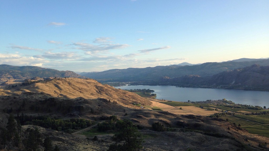
View from my lunchspot today...

Bluebottle fly
View from my lunchspot today...
View from my lunchspot today...
View from my lunchspot today...

View from my lunchspot today...
View from my lunchspot today...
View from my lunchspot today...

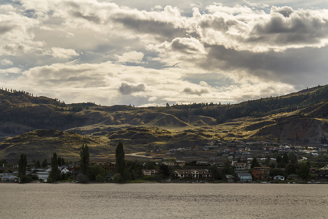
Osoyoos, BC
View from my lunchspot today...
View from my lunchspot today...
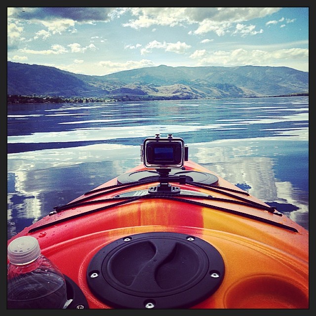
View from the Kayak this afternoon on its Maiden Voyage ☀️
Lights of the Nature
Osoyoos from Lookout
Sunset, Haynes Point
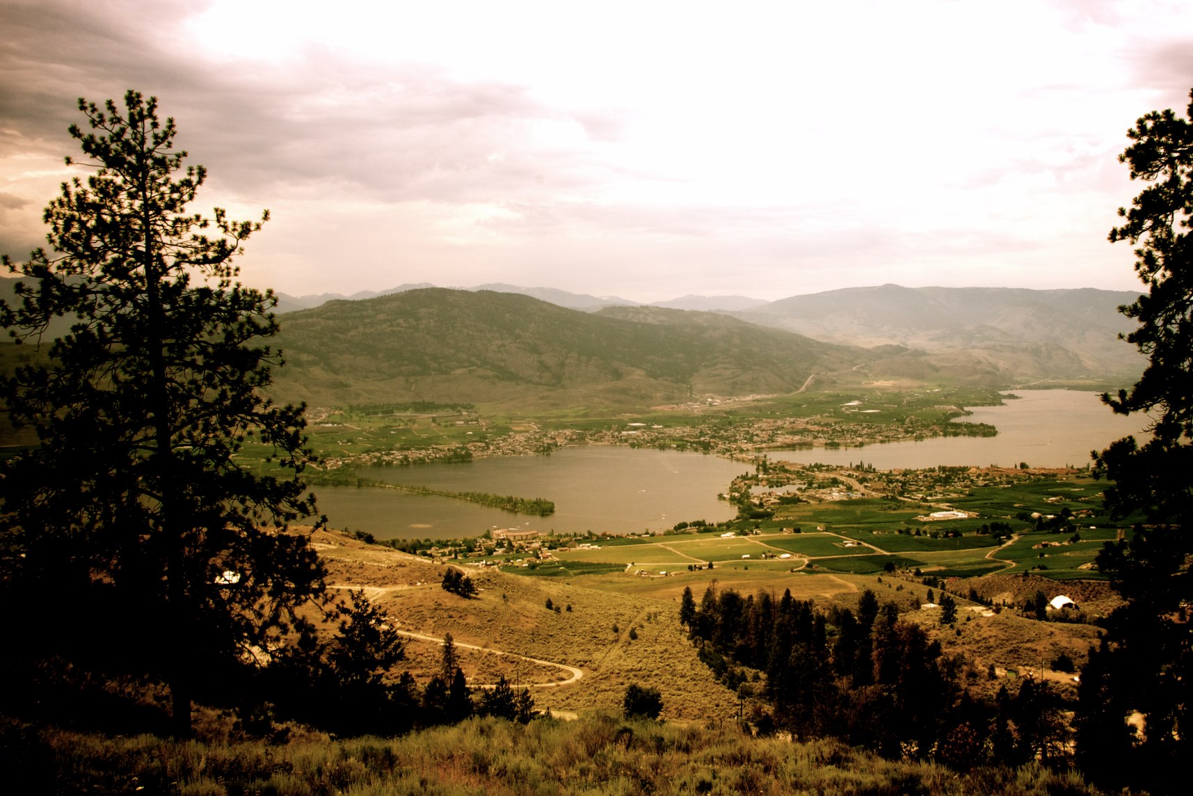
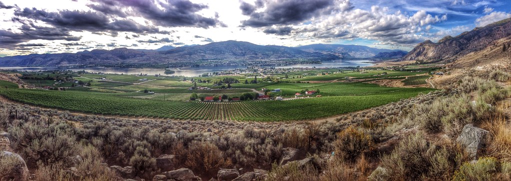
Southern Okanagan view

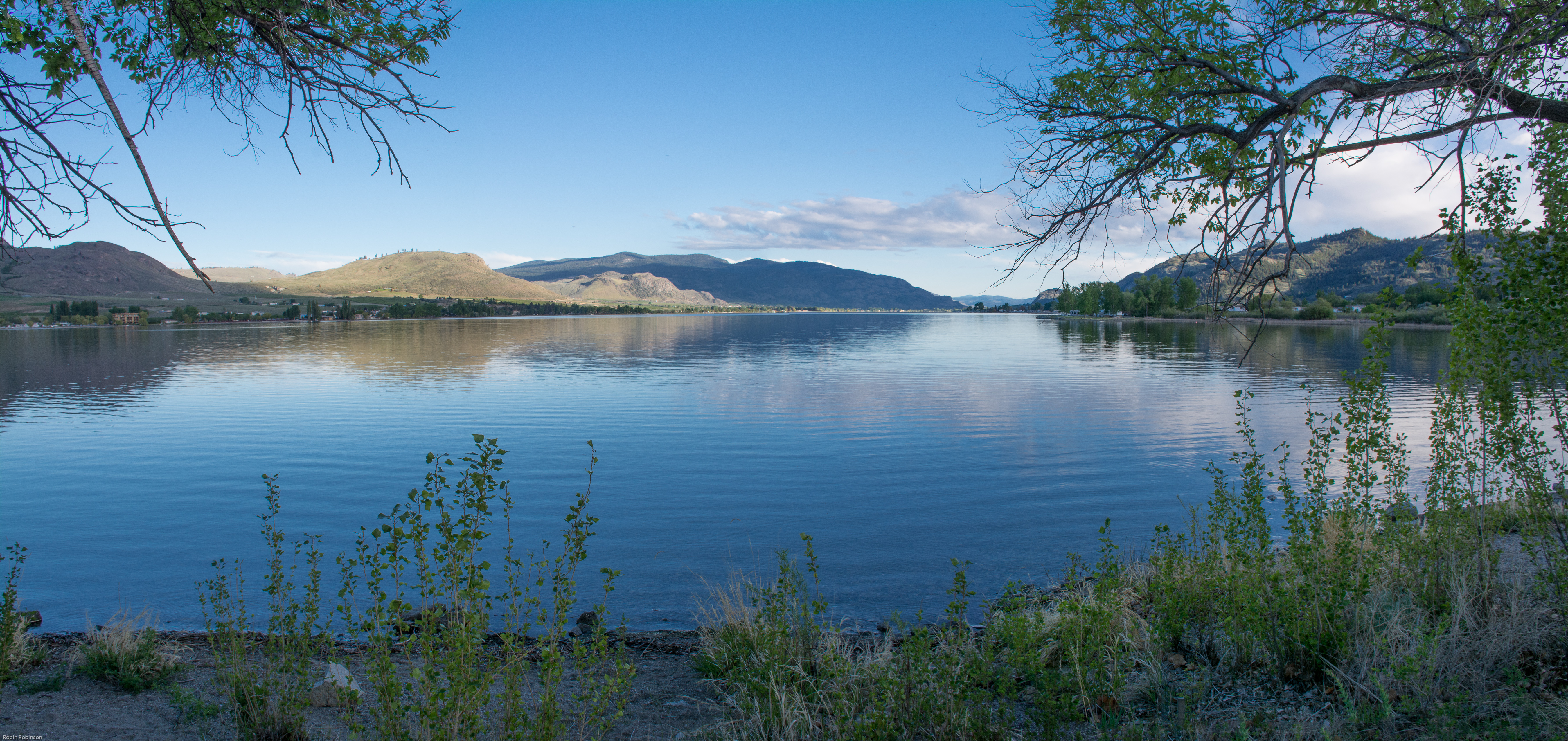
Osoyoos Lakefront
View from my lunchspot today... Someone watching me watching her...
Pano Loop
Lake Osoyoos at Sunset

Hello all, I'm in midway, B.C.. Having a hard time finding strong wifi but that's life on the road. :)

Lake Long Exposure
iPhone high
Palmer Lake
Osoyoos East Side
evening on Osoyoos lake

20110619-_D3K0236-

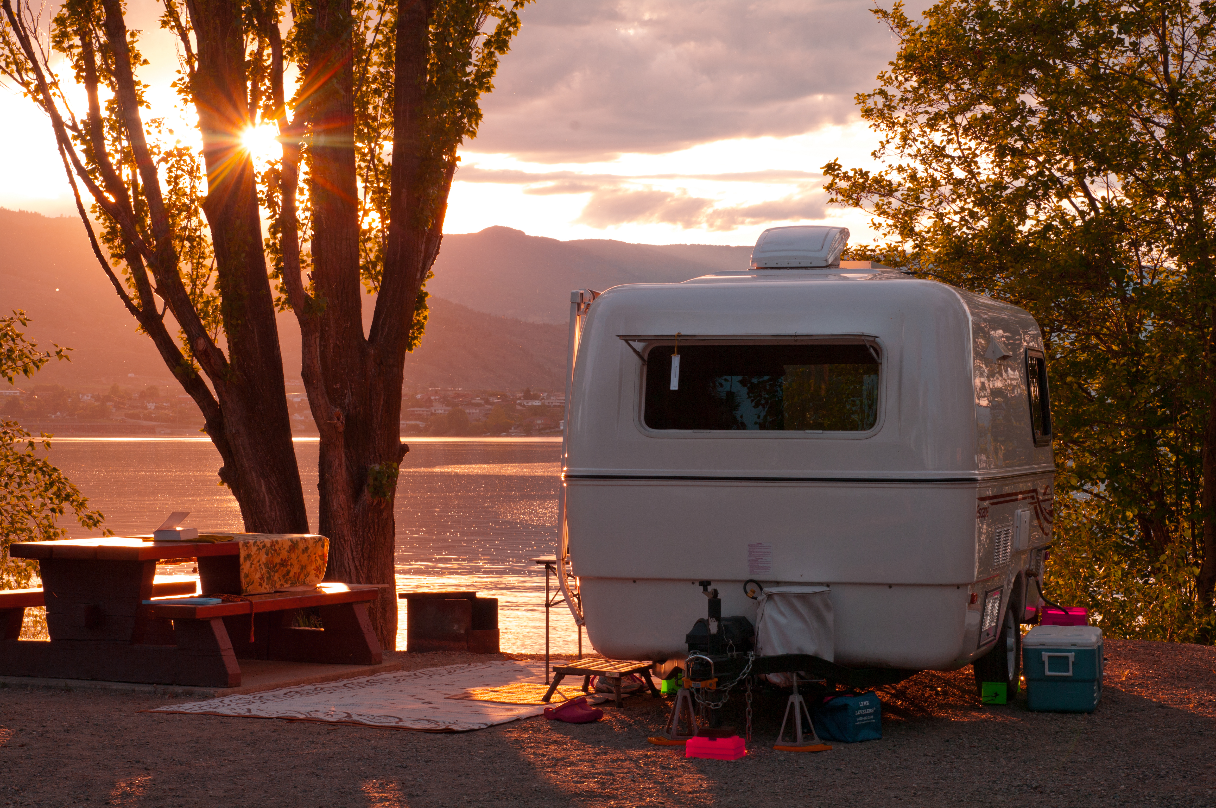
Evening in Osoyoos
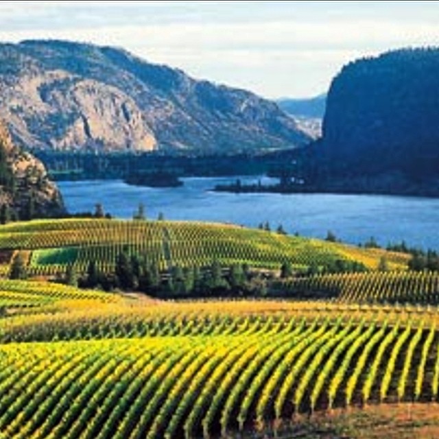
And more vineyards along 97 near #Osoyoos

The Pacific Northwest Trail wraps around Palmer Lake near Nighthawk, Washington
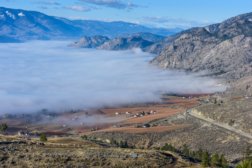
Thermal inversion
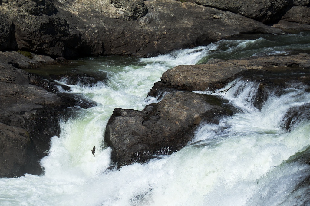
salmon at Enloe Dam
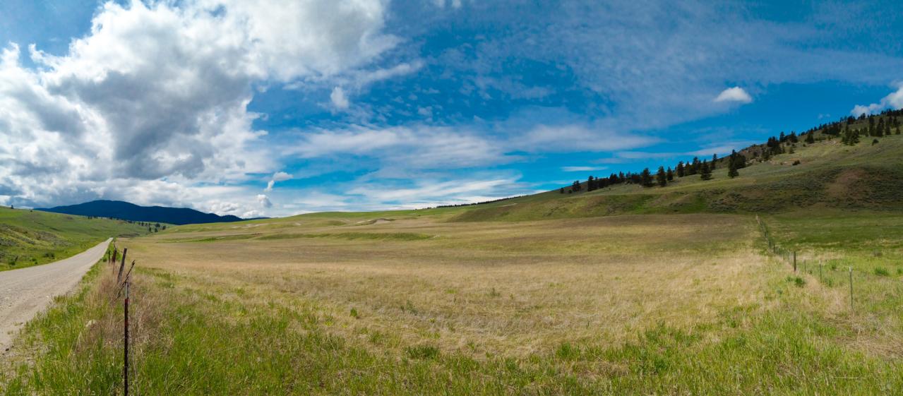
Grassy hills above Dry Gulch Road near Havillah, Washington
Topographic Map of 19 Gavin Rd, Oroville, WA, USA
Find elevation by address:

Places near 19 Gavin Rd, Oroville, WA, USA:
19 Gavin Rd
Oroville
1105 Apple Way Ave
Similkameen River
East Wannacut Lane
Wannacut Lake
299 Eastlake Rd
West Corral Road
Wannacut Lake Road
2032 Lakeshore Dr
Chardonnay Court
102 Corral Dr
Osoyoos Lake
313 Mule Deer Dr
141 Falcon Pl
4006 Fairwinds Dr
Mule Deer Drive
5701 Jackpine Ln
Main Street
6456 Bc-97
Recent Searches:
- Elevation of Gateway Blvd SE, Canton, OH, USA
- Elevation of East W.T. Harris Boulevard, E W.T. Harris Blvd, Charlotte, NC, USA
- Elevation of West Sugar Creek, Charlotte, NC, USA
- Elevation of Wayland, NY, USA
- Elevation of Steadfast Ct, Daphne, AL, USA
- Elevation of Lagasgasan, X+CQH, Tiaong, Quezon, Philippines
- Elevation of Rojo Ct, Atascadero, CA, USA
- Elevation of Flagstaff Drive, Flagstaff Dr, North Carolina, USA
- Elevation of Avery Ln, Lakeland, FL, USA
- Elevation of Woolwine, VA, USA