Elevation of J H Green Rd, Tonasket, WA, USA
Location: United States > Washington > Okanogan County > Tonasket >
Longitude: -119.31964
Latitude: 48.580266
Elevation: 1067m / 3501feet
Barometric Pressure: 89KPa
Elevation Map:
Satellite Map:
Related Photos:

DSC04832.jpg

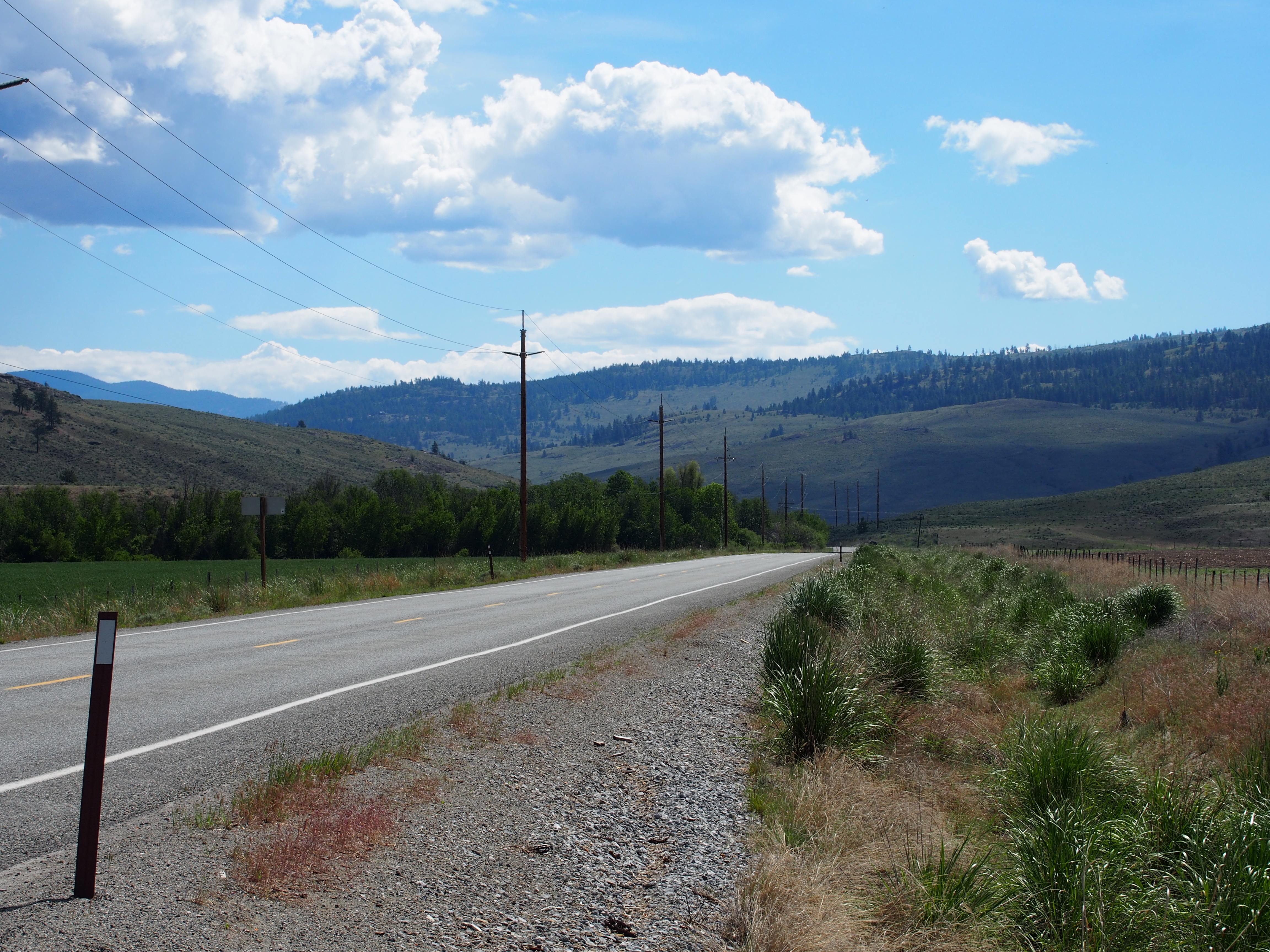
Aeneas Valley Road near Highway 20
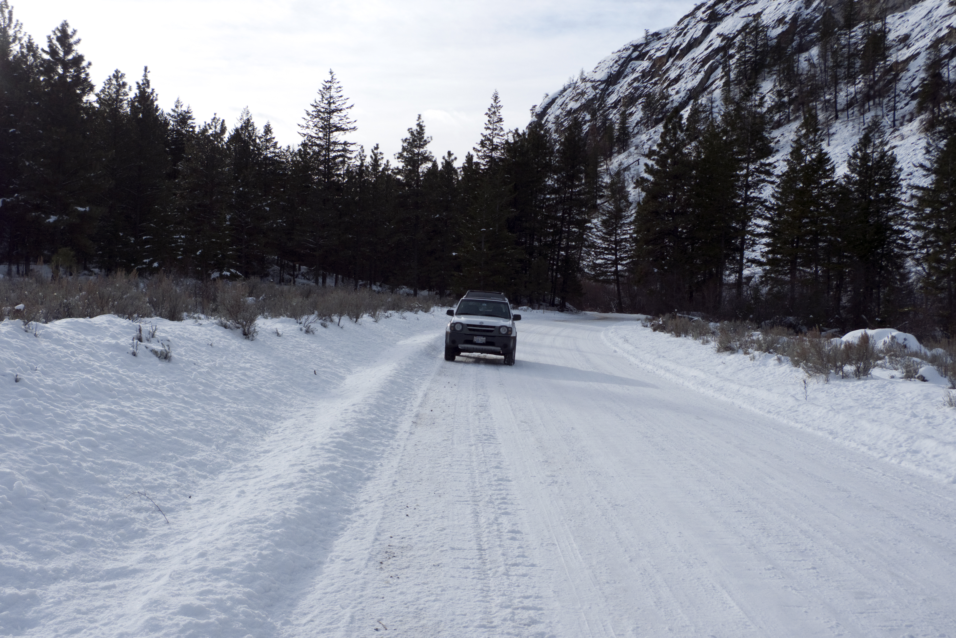
My new 2003 Nisson Xterra in the snow on JH Green Rd.
SR-20
P2015-05-21 10.03.49
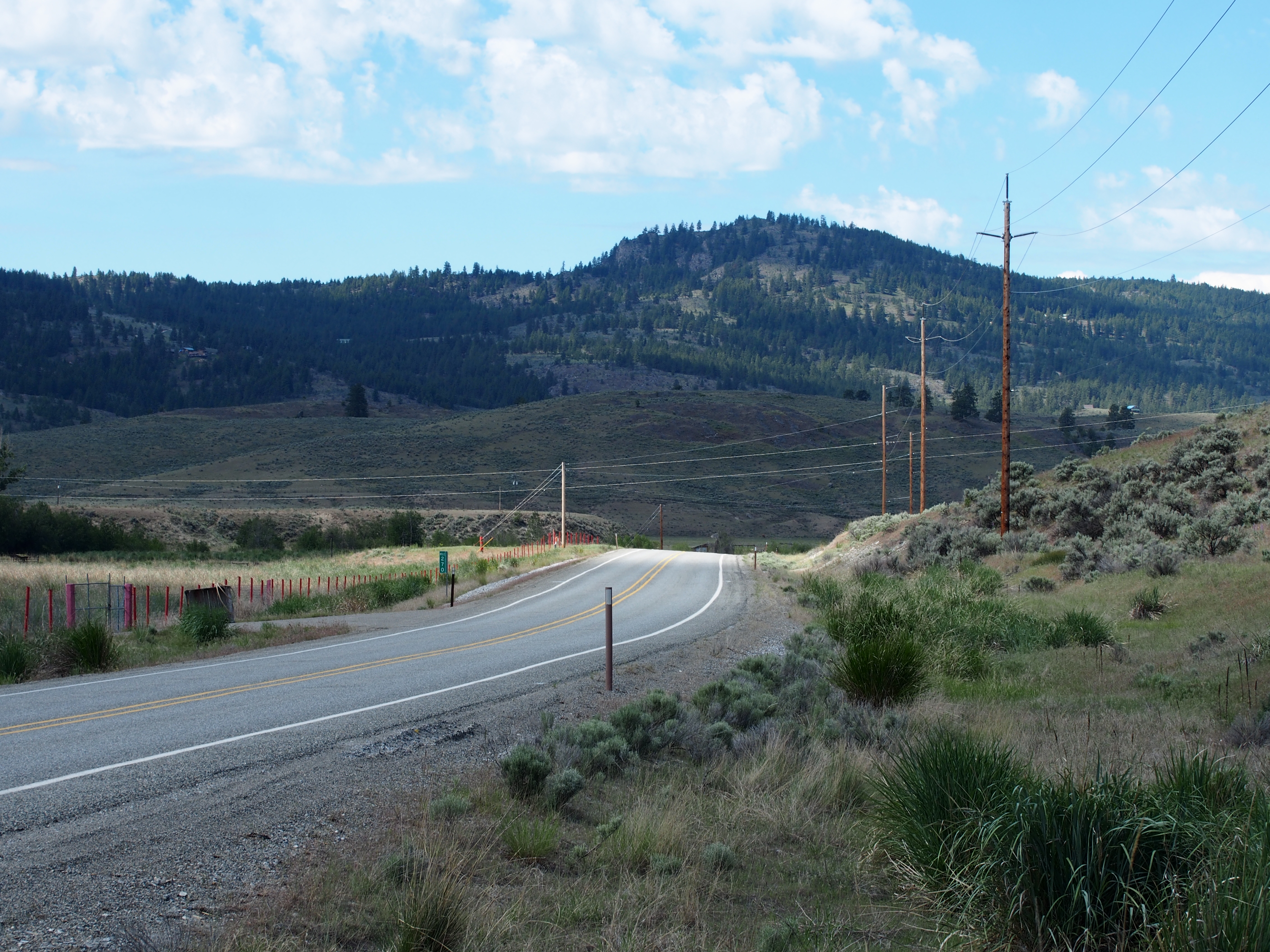
SR-20

P2015-05-20 15.44.55
P2015-05-20 17.45.04
S Frontage Road
S Frontage Road
Topographic Map of J H Green Rd, Tonasket, WA, USA
Find elevation by address:

Places near J H Green Rd, Tonasket, WA, USA:
103 E Bannon Creek Rd
389 Talkire Lake Rd
Armitage Hill Road
111 Armitage Hill Rd
Bannon Mountain
102 Upper Reevas Basin Rd
WA-20, Tonasket, WA, USA
75 Eastman Mill Rd
3 Blue Star Ln
Badger Road
374 Bench Creek Rd
108 Doe Mountain Rd
Crawfish Lake
Siwash Creek Road
Siwash Creek Road
20 Valley View Dr
Tonasket
233 Antwyne Ln
79 N Siwash Creek Rd
Highway 7
Recent Searches:
- Elevation of Lampiasi St, Sarasota, FL, USA
- Elevation of Elwyn Dr, Roanoke Rapids, NC, USA
- Elevation of Congressional Dr, Stevensville, MD, USA
- Elevation of Bellview Rd, McLean, VA, USA
- Elevation of Stage Island Rd, Chatham, MA, USA
- Elevation of Shibuya Scramble Crossing, 21 Udagawacho, Shibuya City, Tokyo -, Japan
- Elevation of Jadagoniai, Kaunas District Municipality, Lithuania
- Elevation of Pagonija rock, Kranto 7-oji g. 8"N, Kaunas, Lithuania
- Elevation of Co Rd 87, Jamestown, CO, USA
- Elevation of Tenjo, Cundinamarca, Colombia