Elevation of Siwash Creek Road, Siwash Creek Rd, Washington, USA
Location: United States > Washington > Okanogan County > Tonasket >
Longitude: -119.26727
Latitude: 48.7233184
Elevation: 850m / 2789feet
Barometric Pressure: 92KPa
Elevation Map:
Satellite Map:
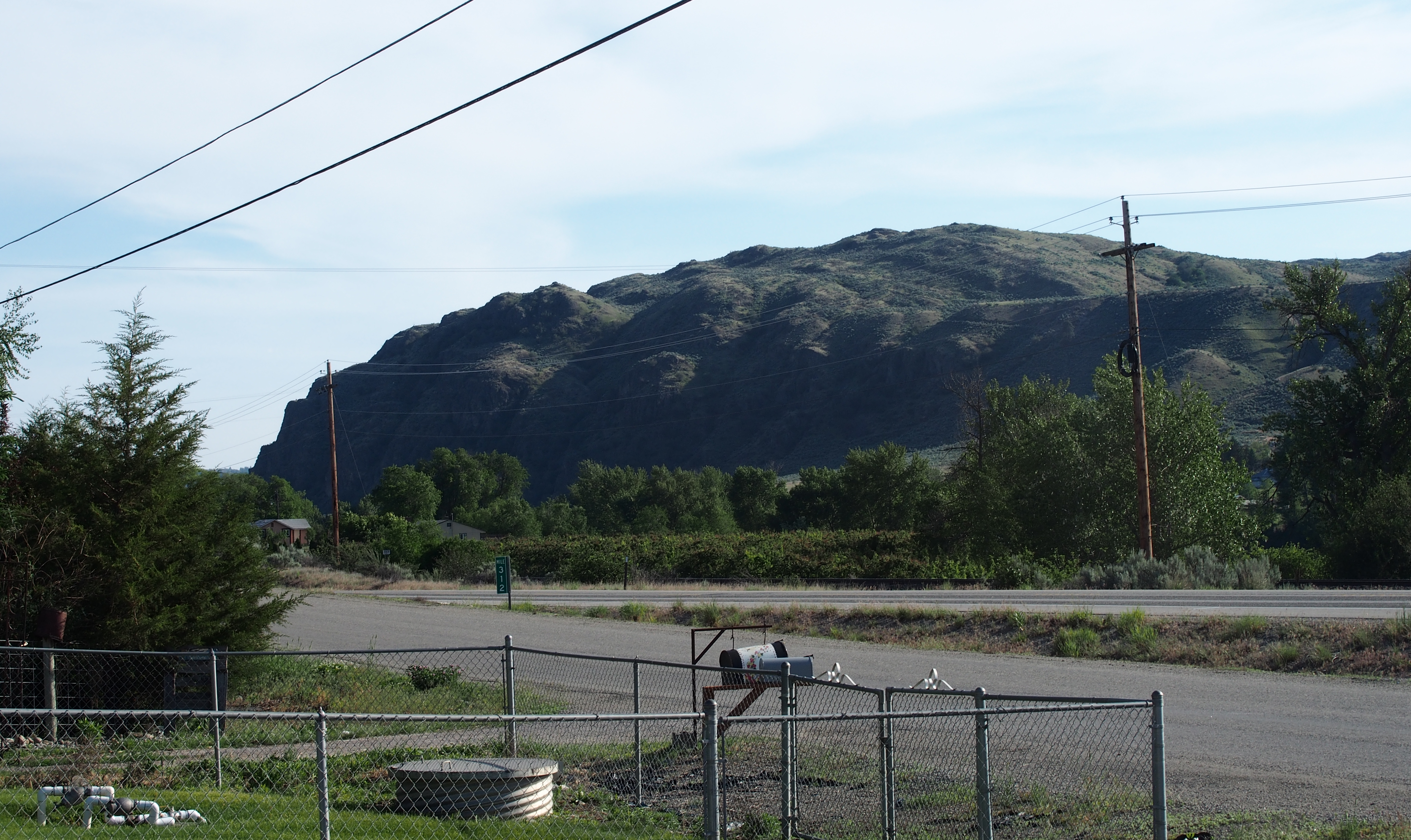
Related Photos:

DSC04832.jpg

Aeneas Valley Road near Highway 20

happy day
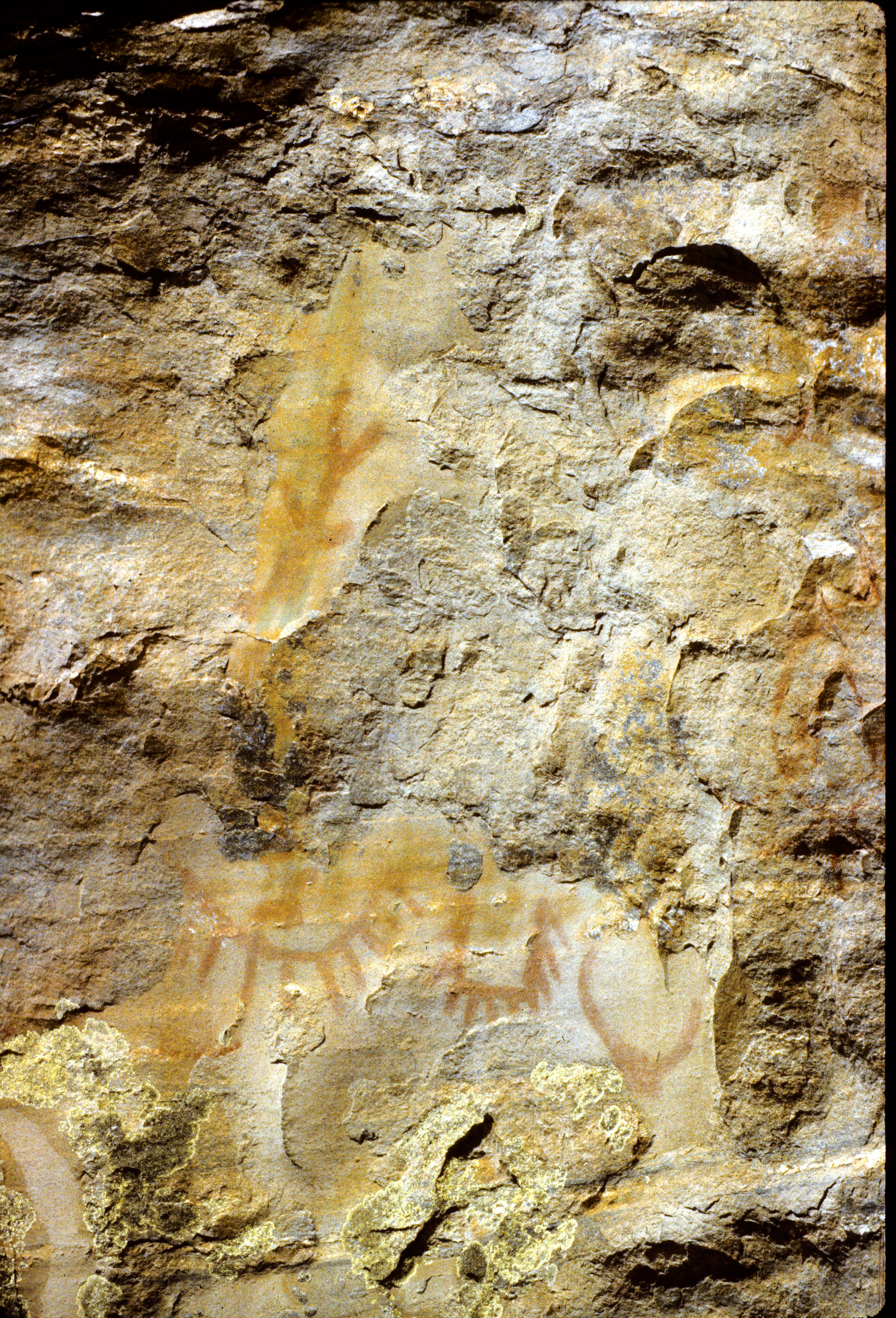
87-190_Indian_petroglyphs_near_Tonasket_WA

SR-20
P2015-05-20 17.45.04
S Frontage Road
P2015-05-21 10.03.49
SR-20
S Frontage Road
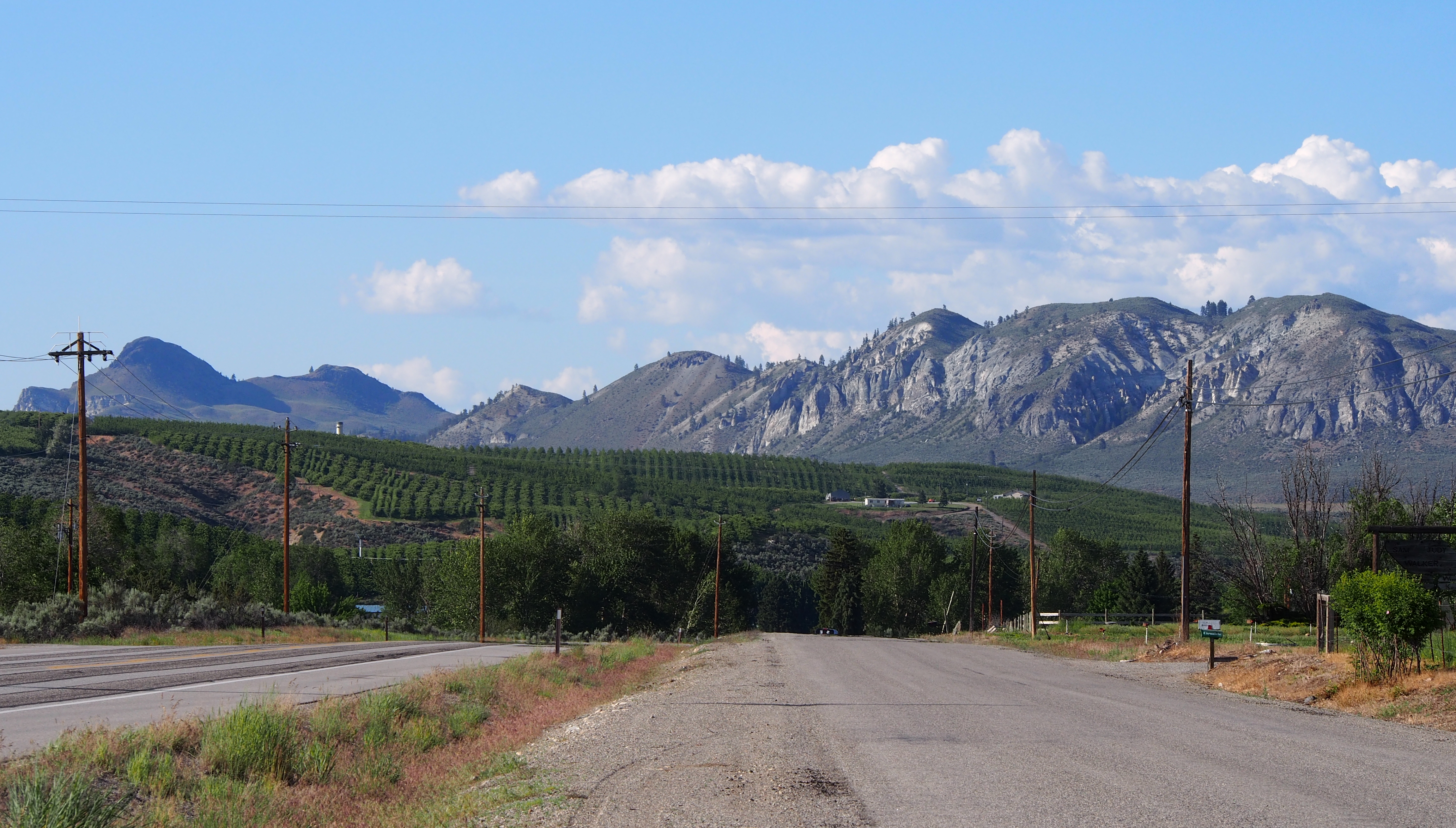
Tonasket panorama
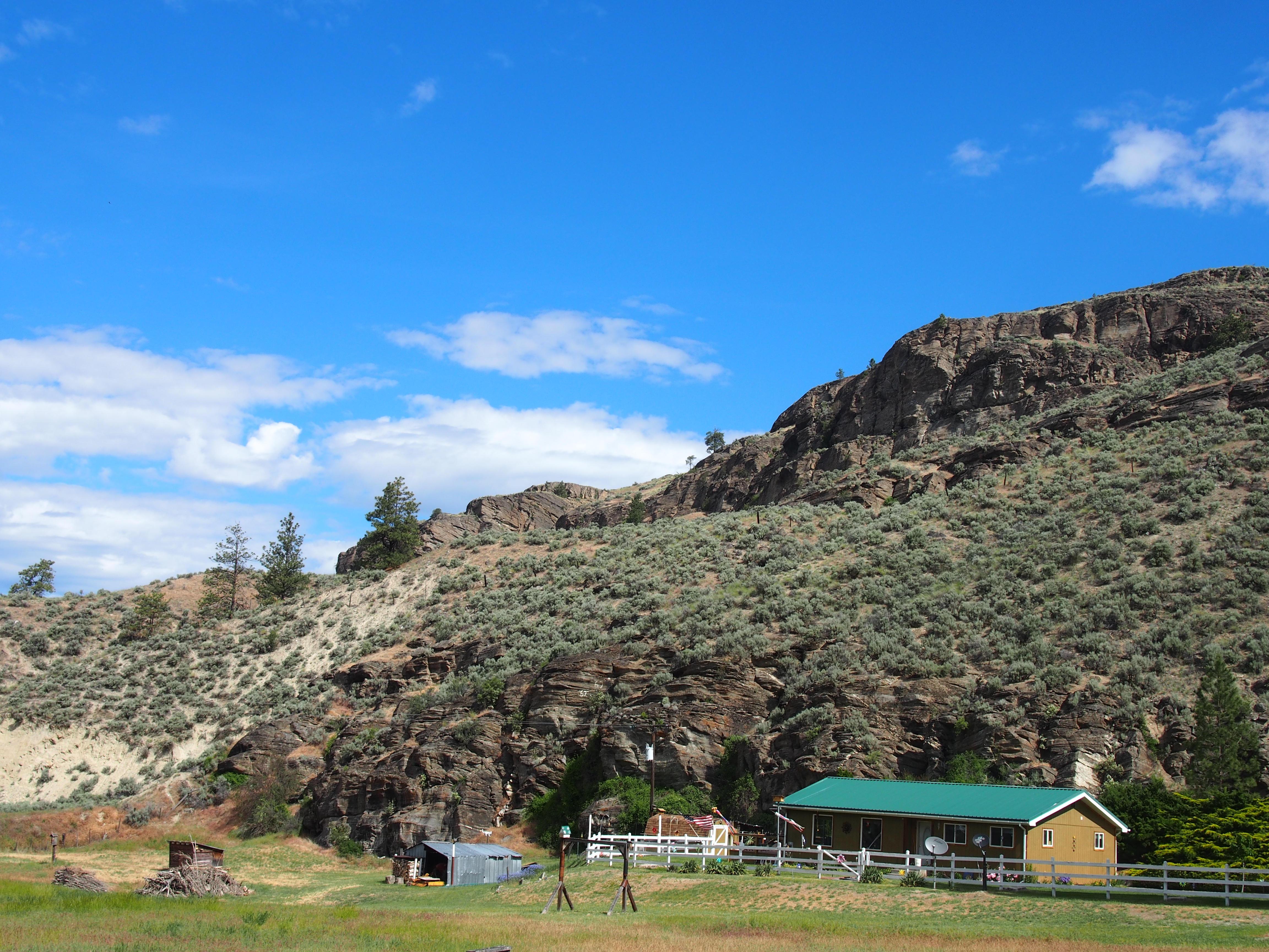
Grassy hills above Dry Gulch Road near Havillah, Washington
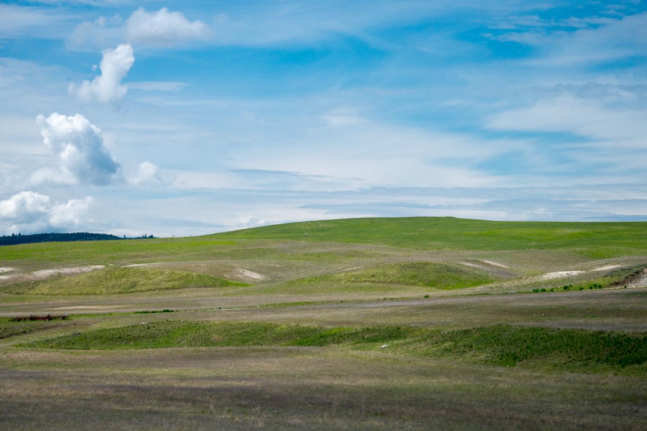
Rolling hills of Eastern Washington near Havillah

The Pacific Northwest Trail (two track) disappears into the woods on the east side of Mt. Hull
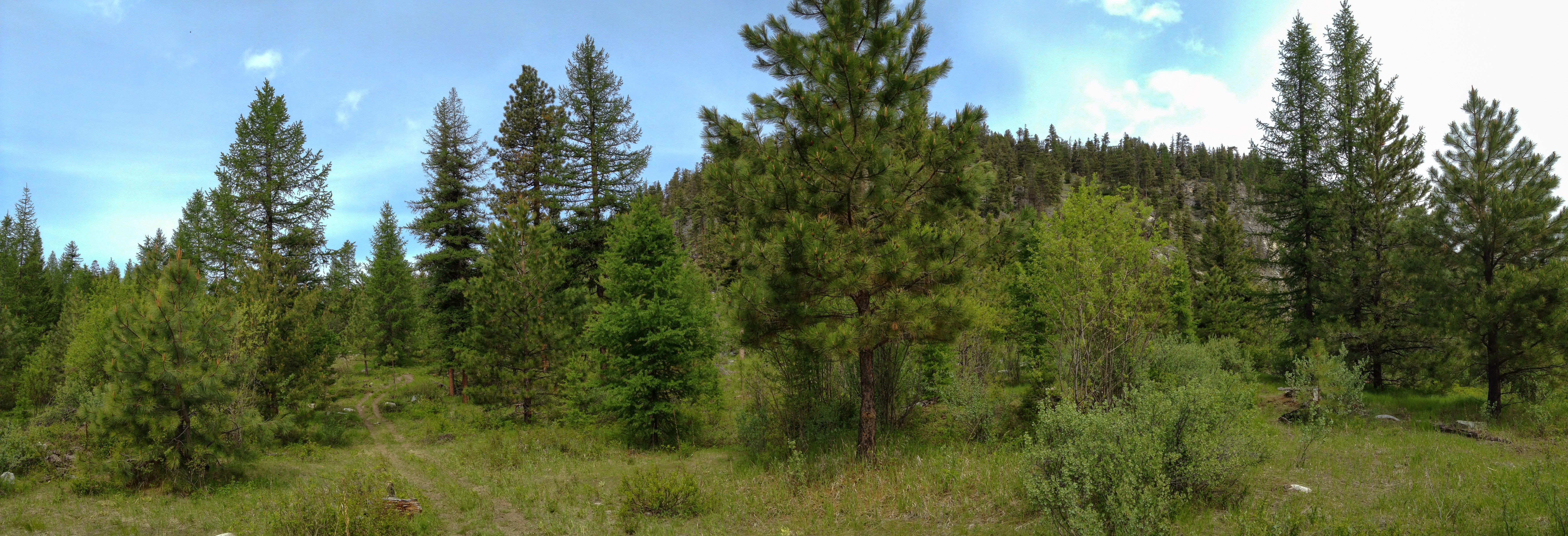
Pacific Northwest Trail panorama below Haley Mountain
Topographic Map of Siwash Creek Road, Siwash Creek Rd, Washington, USA
Find elevation by address:

Places near Siwash Creek Road, Siwash Creek Rd, Washington, USA:
Siwash Creek Road
79 N Siwash Creek Rd
233 Antwyne Ln
3 Blue Star Ln
WA-20, Tonasket, WA, USA
102 Upper Reevas Basin Rd
Badger Road
103 E Bannon Creek Rd
389 Talkire Lake Rd
75 Cougar Canyon Rd
Highlands Sno-park
646 Swanson Mill Rd
16 Summit Lake Rd
Bannon Mountain
597 Swanson Mill Rd
North Ridge Road
Havillah
4 Rustlers Hideaway Rd
20 Valley View Dr
108 Doe Mountain Rd
Recent Searches:
- Elevation of 15th Ave SE, St. Petersburg, FL, USA
- Elevation of Beall Road, Beall Rd, Florida, USA
- Elevation of Leguwa, Nepal
- Elevation of County Rd, Enterprise, AL, USA
- Elevation of Kolchuginsky District, Vladimir Oblast, Russia
- Elevation of Shustino, Vladimir Oblast, Russia
- Elevation of Lampiasi St, Sarasota, FL, USA
- Elevation of Elwyn Dr, Roanoke Rapids, NC, USA
- Elevation of Congressional Dr, Stevensville, MD, USA
- Elevation of Bellview Rd, McLean, VA, USA