Elevation of 75 Eastman Mill Rd, Riverside, WA, USA
Location: United States > Washington > Okanogan County > Riverside >
Longitude: -119.28080
Latitude: 48.505078
Elevation: 938m / 3077feet
Barometric Pressure: 91KPa
Elevation Map:
Satellite Map:
Related Photos:
020_20100131
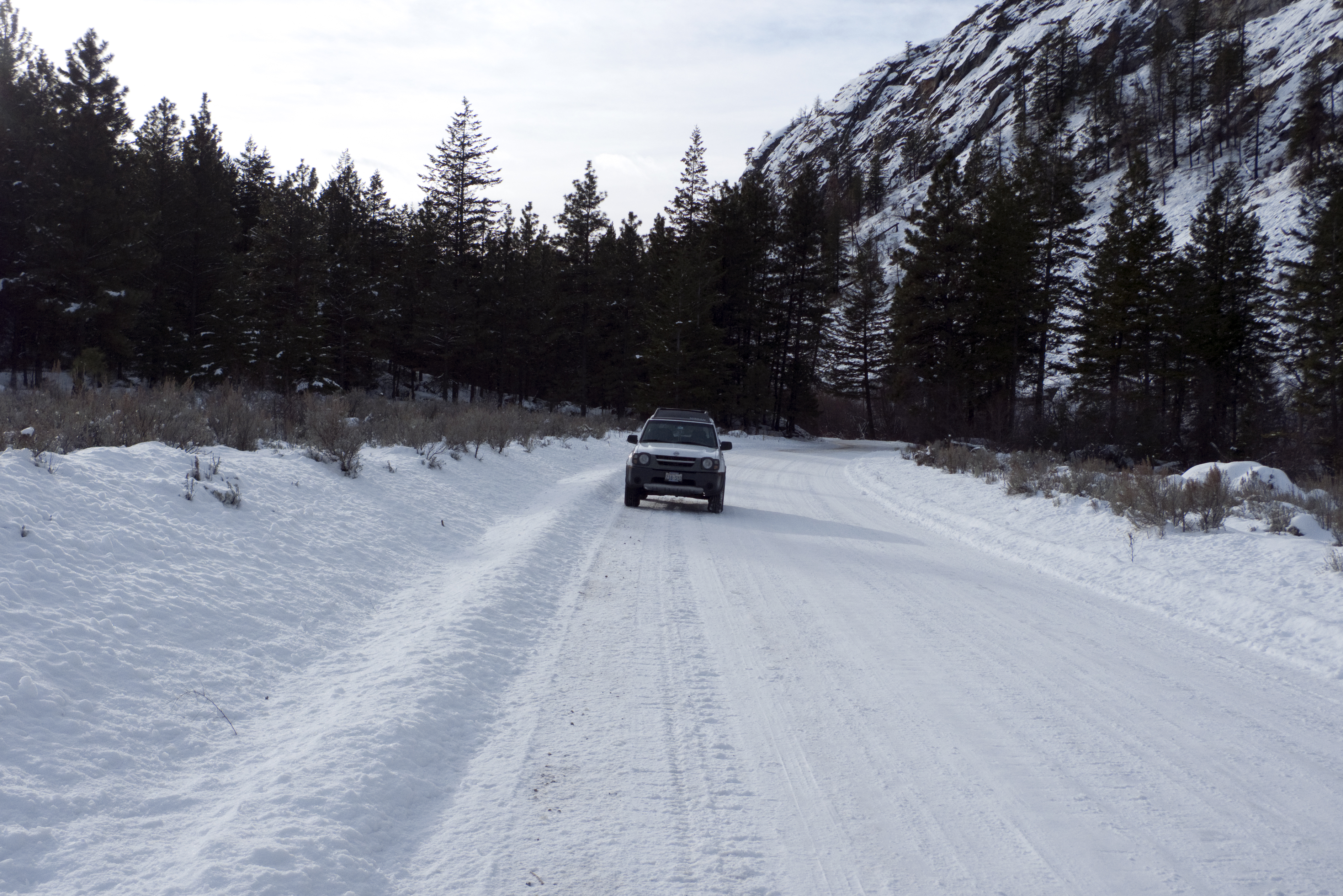
My new 2003 Nisson Xterra in the snow on JH Green Rd.
P2015-05-20 14.51.58
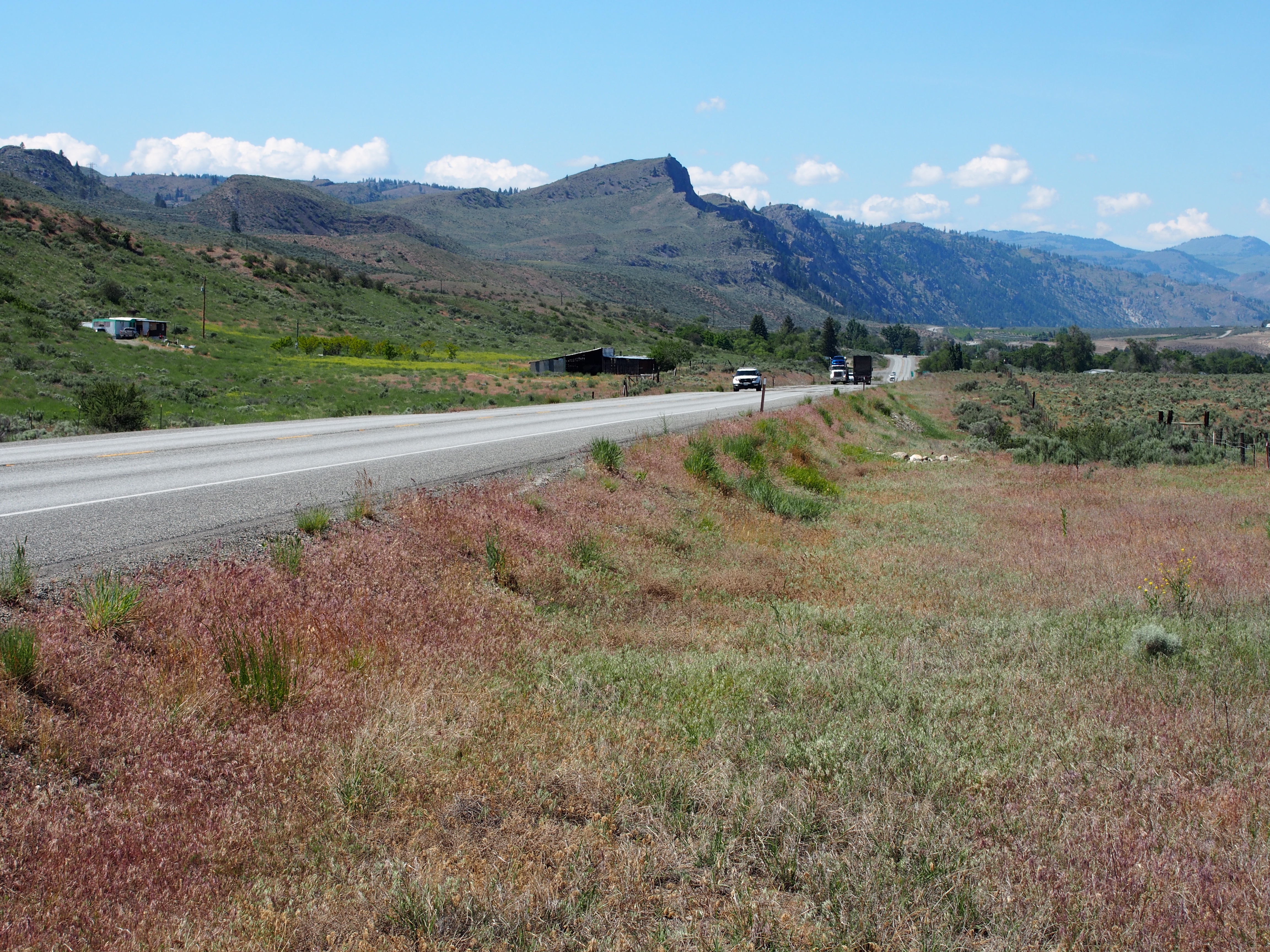
Coulee Corridor
Peterson--East Fork Tunk Creek

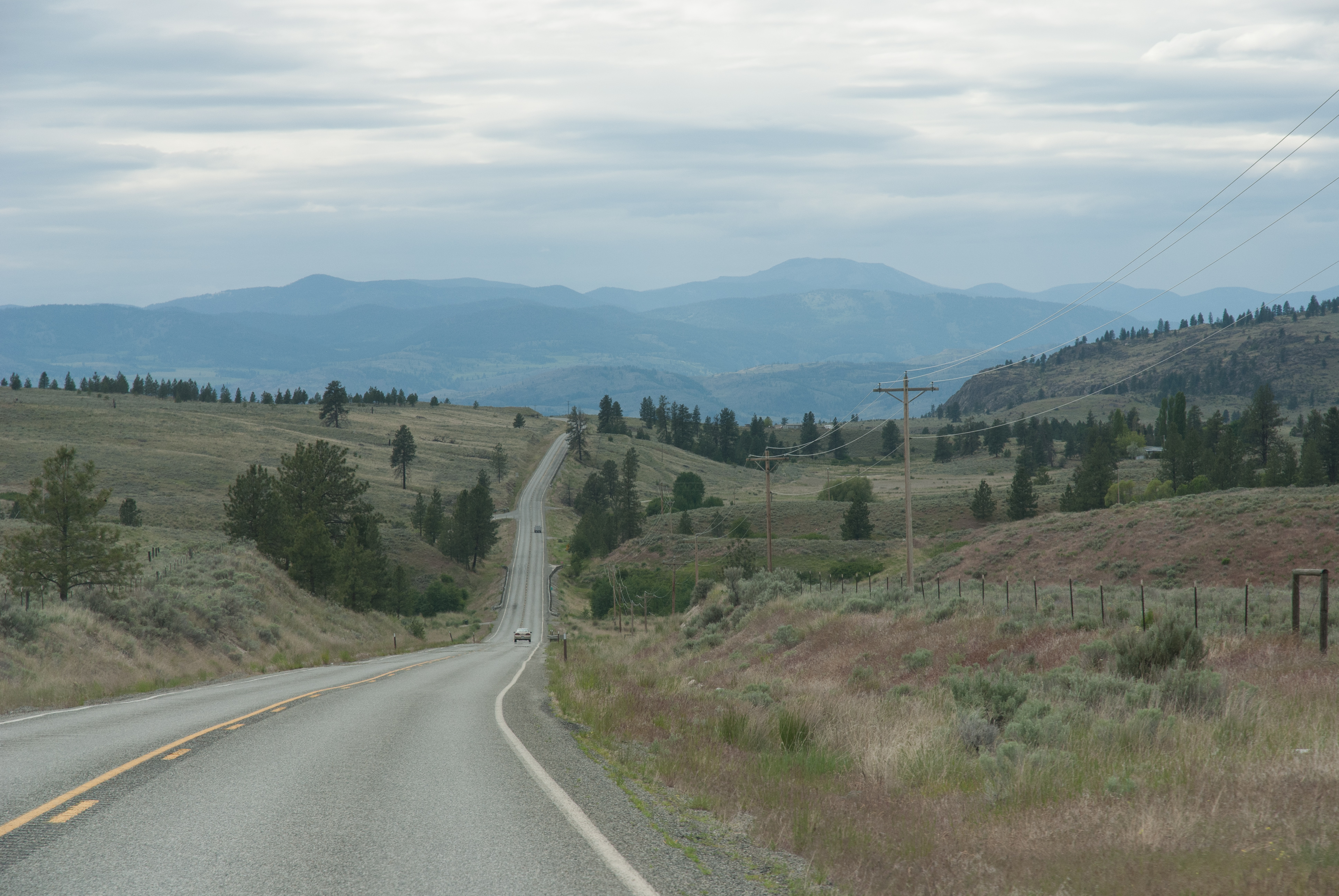
Okanogan Valley

P2015-05-20 14.51.50

DSC04838.jpg

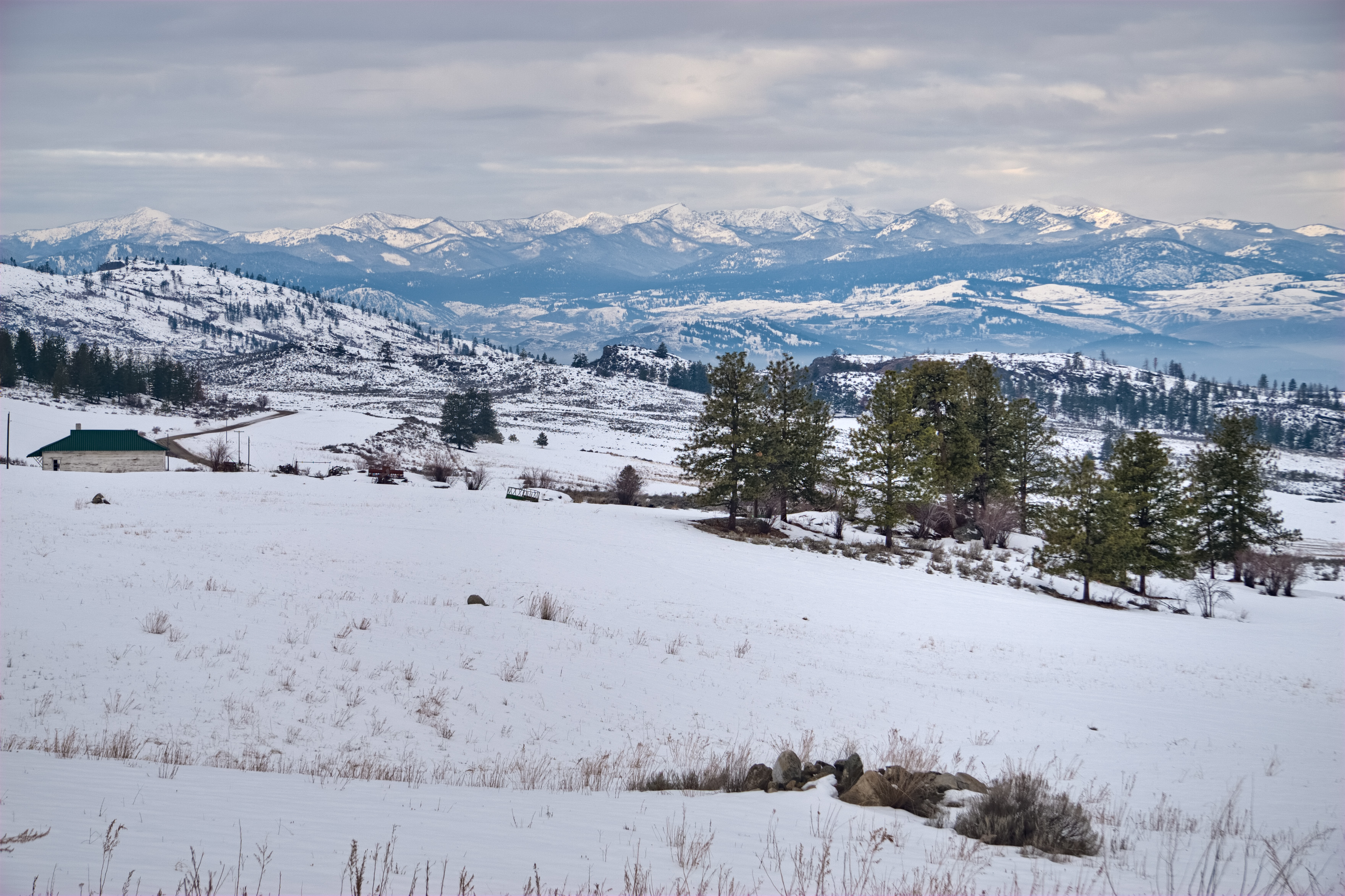
The hills east of Omak Washington and Riverside Washington

The hills east of Riverside Washington
The hills east of Omak Washington
The hills east of Omak Washington during Dec of 2010
Dalton Hotshots 1985_16
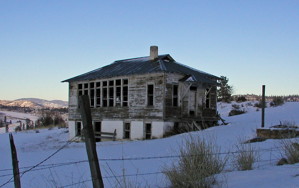
One room school House
Topographic Map of 75 Eastman Mill Rd, Riverside, WA, USA
Find elevation by address:

Places near 75 Eastman Mill Rd, Riverside, WA, USA:
111 Armitage Hill Rd
Crawfish Lake
Armitage Hill Road
528 J H Green Rd
Bannon Mountain
103 E Bannon Creek Rd
374 Bench Creek Rd
102 Upper Reevas Basin Rd
108 Doe Mountain Rd
389 Talkire Lake Rd
WA-20, Tonasket, WA, USA
Badger Road
3 Blue Star Ln
48 Long Lake Ln
670 Aeneas Valley Rd
183 Neil Circle Rd S
183 Neil Circle Rd S
183 Neil Circle Rd S
183 Neil Circle Rd S
196 Neil Circle Rd S
Recent Searches:
- Elevation of Lampiasi St, Sarasota, FL, USA
- Elevation of Elwyn Dr, Roanoke Rapids, NC, USA
- Elevation of Congressional Dr, Stevensville, MD, USA
- Elevation of Bellview Rd, McLean, VA, USA
- Elevation of Stage Island Rd, Chatham, MA, USA
- Elevation of Shibuya Scramble Crossing, 21 Udagawacho, Shibuya City, Tokyo -, Japan
- Elevation of Jadagoniai, Kaunas District Municipality, Lithuania
- Elevation of Pagonija rock, Kranto 7-oji g. 8"N, Kaunas, Lithuania
- Elevation of Co Rd 87, Jamestown, CO, USA
- Elevation of Tenjo, Cundinamarca, Colombia