Elevation of 48 Long Lake Ln, Tonasket, WA, USA
Location: United States > Washington > Okanogan County > Tonasket >
Longitude: -119.12366
Latitude: 48.614849
Elevation: 810m / 2657feet
Barometric Pressure: 92KPa
Elevation Map:
Satellite Map:
Related Photos:

DSC04832.jpg

The Pflug Mansion
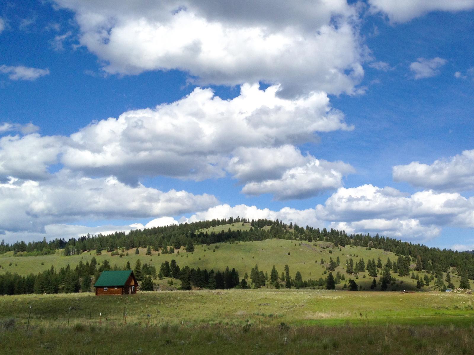
Ranch near Aeneas, Washington

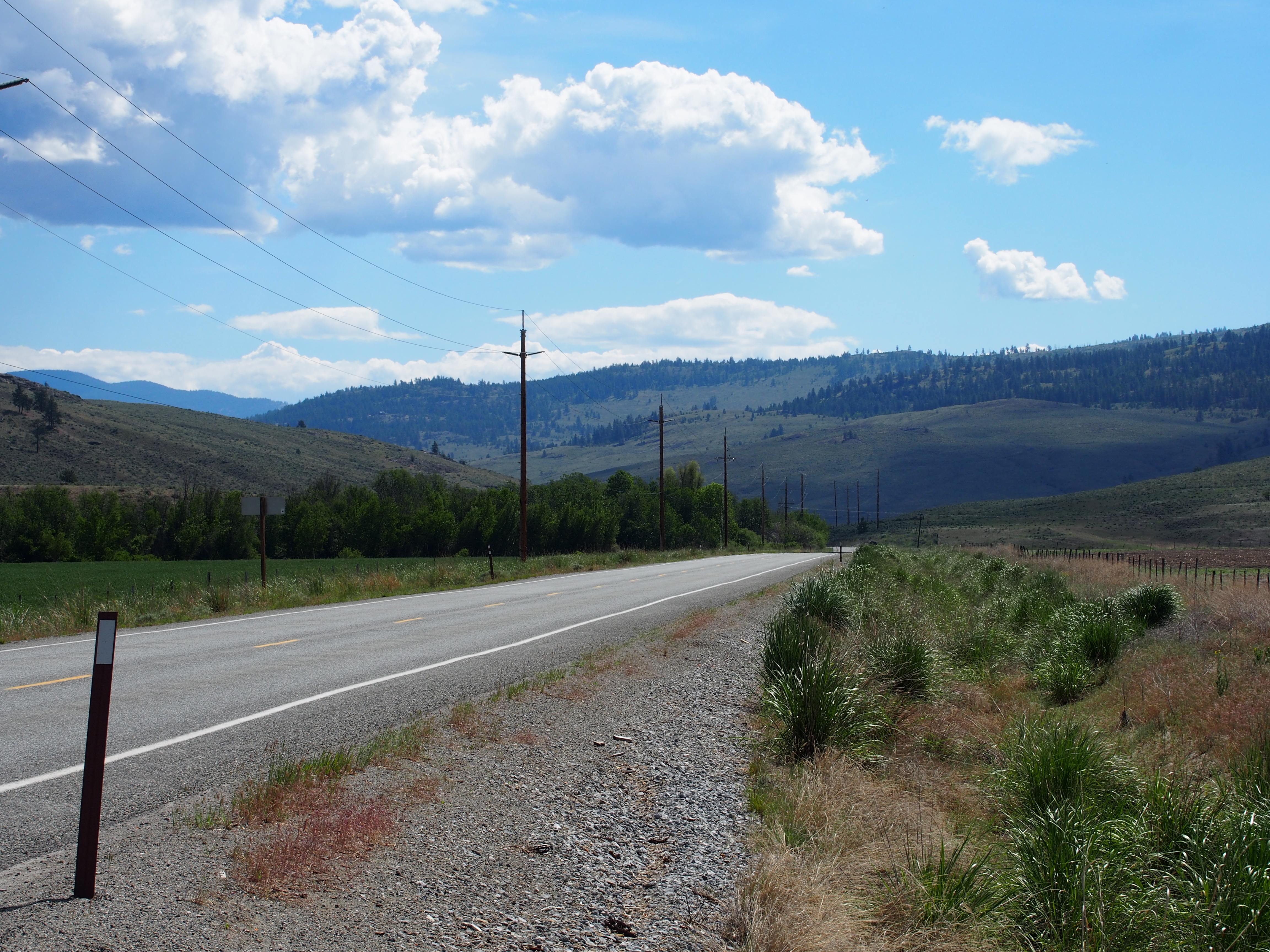
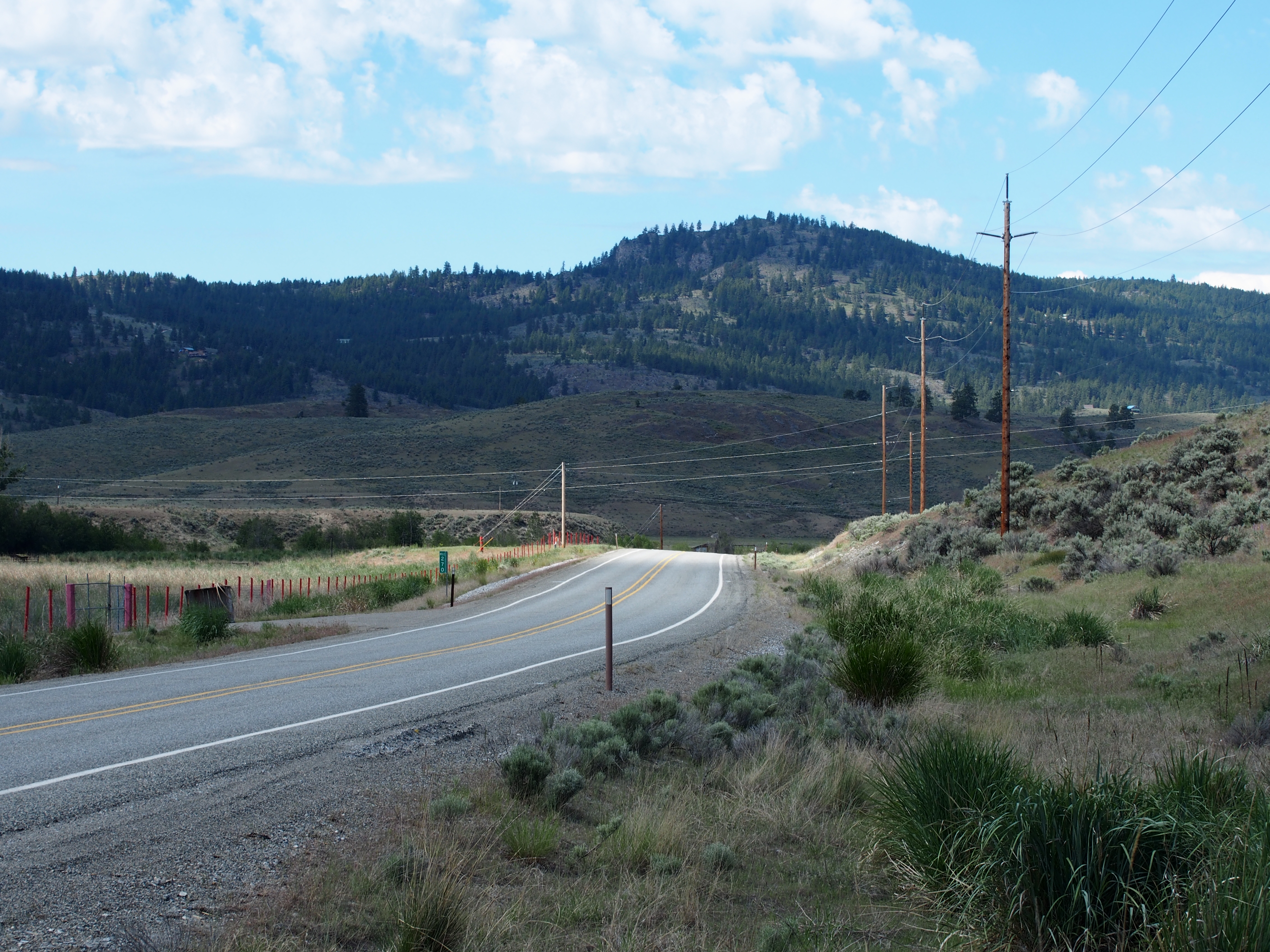
Aeneas Valley Road near Highway 20
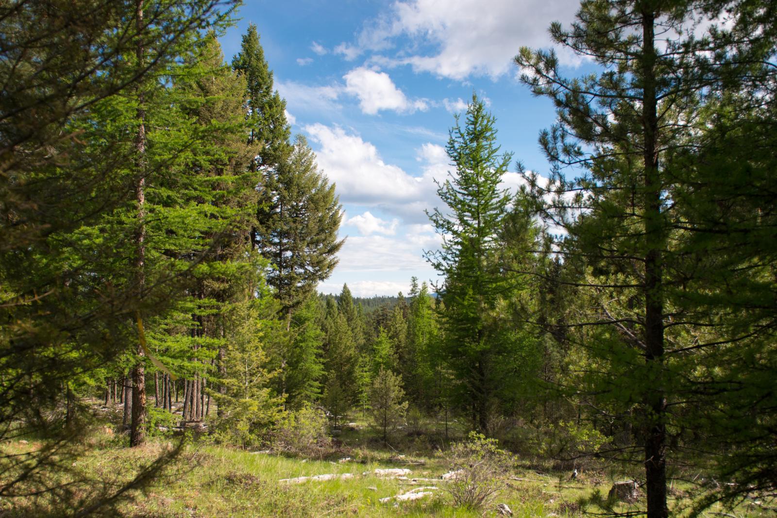
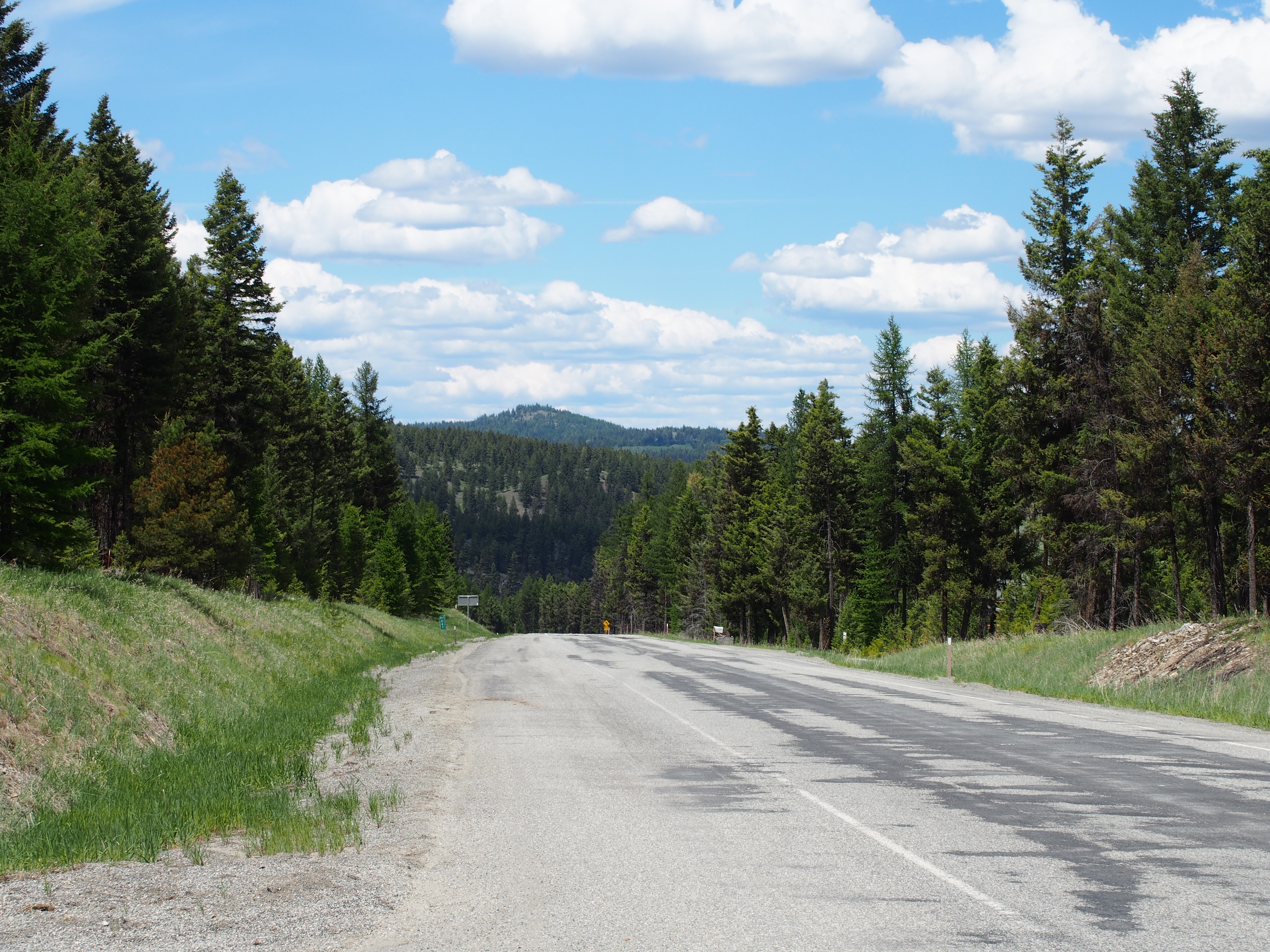
Okanogan National Forest near Fir Mountain
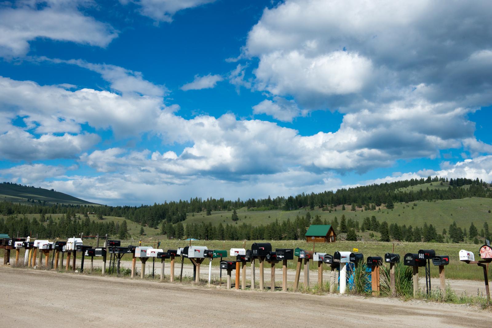
long row of mailboxes on Aeneas Valley Road
SR-20
SR-20
SR-20 at Wauconda Pass
Topographic Map of 48 Long Lake Ln, Tonasket, WA, USA
Find elevation by address:

Places near 48 Long Lake Ln, Tonasket, WA, USA:
670 Aeneas Valley Rd
183 Neil Circle Rd S
183 Neil Circle Rd S
183 Neil Circle Rd S
183 Neil Circle Rd S
196 Neil Circle Rd S
196 Neil Circle Rd S
16 Breezy Ln
196 Neil Cir S Rd
251 Neil Cir S Rd
361 Neil Cir S Rd
151 Cape Labelle Rd
Neil Canyon Road
Main Road
153 High Country Dr W
Highvalley Road
50 Bailey Meadows Rd
47 Bailey Meadows Rd
1241 Aeneas Valley Rd
1241 Aeneas Valley Rd
Recent Searches:
- Elevation of 6 Rue Jules Ferry, Beausoleil, France
- Elevation of Sattva Horizon, 4JC6+G9P, Vinayak Nagar, Kattigenahalli, Bengaluru, Karnataka, India
- Elevation of Great Brook Sports, Gold Star Hwy, Groton, CT, USA
- Elevation of 10 Mountain Laurels Dr, Nashua, NH, USA
- Elevation of 16 Gilboa Ln, Nashua, NH, USA
- Elevation of Laurel Rd, Townsend, TN, USA
- Elevation of 3 Nestling Wood Dr, Long Valley, NJ, USA
- Elevation of Ilungu, Tanzania
- Elevation of Yellow Springs Road, Yellow Springs Rd, Chester Springs, PA, USA
- Elevation of Rēzekne Municipality, Latvia