Elevation of Cape Labelle Rd, Tonasket, WA, USA
Location: United States > Washington > Okanogan County > Tonasket >
Longitude: -119.07480
Latitude: 48.5997191
Elevation: 895m / 2936feet
Barometric Pressure: 91KPa
Elevation Map:
Satellite Map:
Related Photos:

DSC04832.jpg

The Pflug Mansion
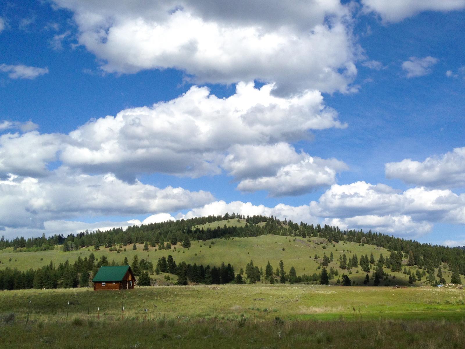
Ranch near Aeneas, Washington

Aeneas Valley Road near Highway 20
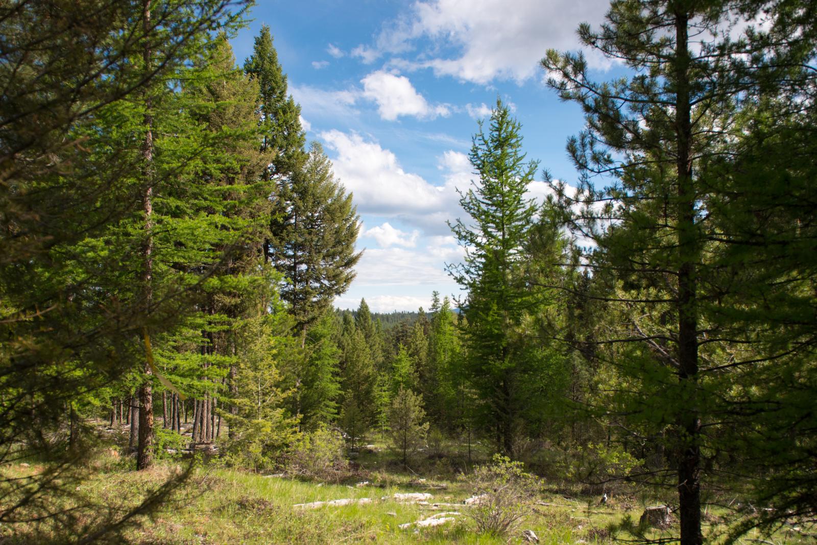
Okanogan National Forest near Fir Mountain
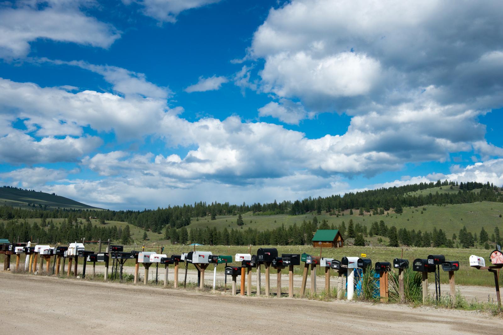
long row of mailboxes on Aeneas Valley Road
SR-20 at Wauconda Pass

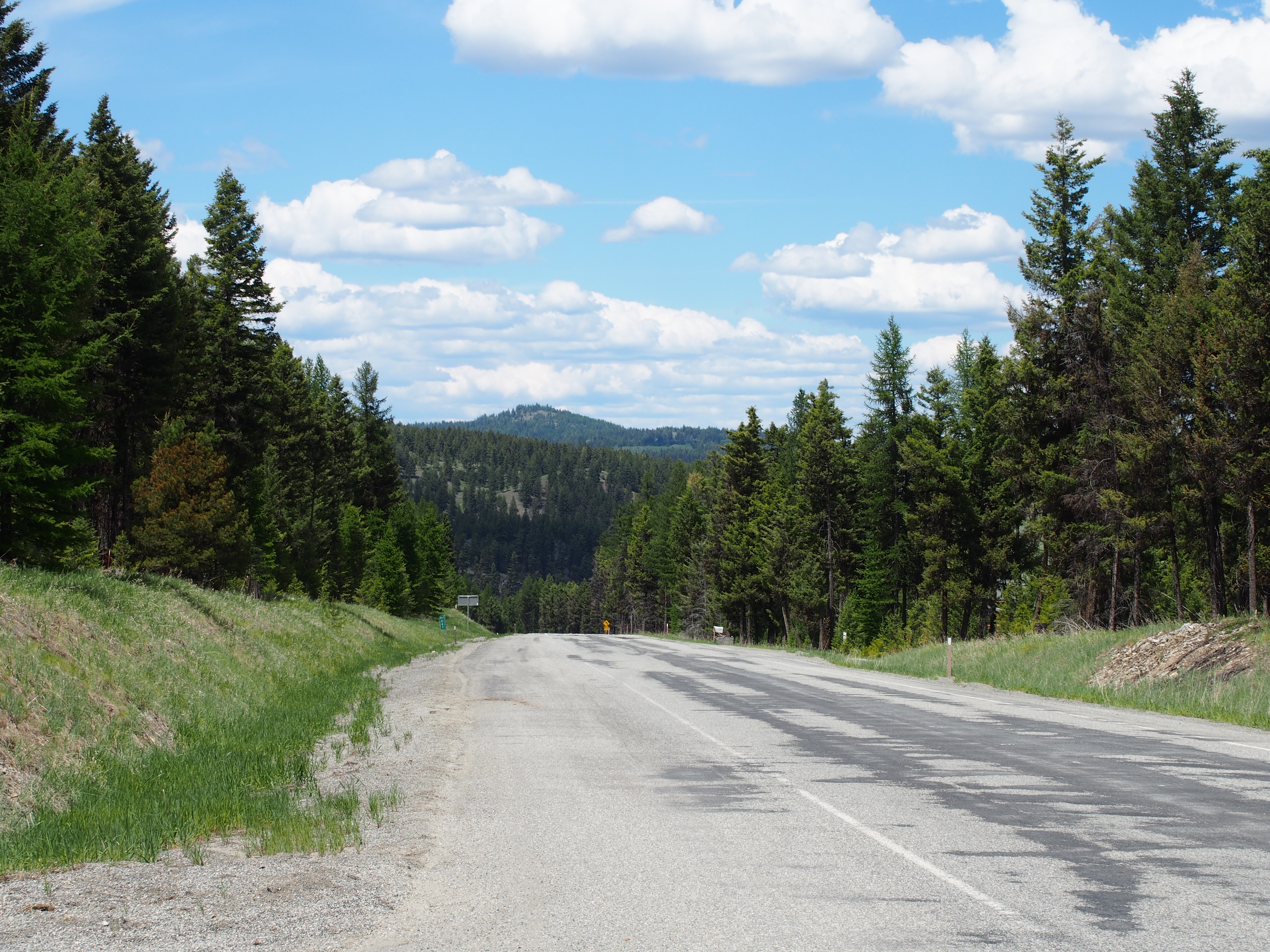
SR-20

SR-20
Fir Mountain Trail - 3
Topographic Map of Cape Labelle Rd, Tonasket, WA, USA
Find elevation by address:

Places near Cape Labelle Rd, Tonasket, WA, USA:
Neil Canyon Road
Main Road
183 Neil Circle Rd S
183 Neil Circle Rd S
183 Neil Circle Rd S
183 Neil Circle Rd S
196 Neil Circle Rd S
196 Neil Circle Rd S
196 Neil Cir S Rd
251 Neil Cir S Rd
670 Aeneas Valley Rd
153 High Country Dr W
361 Neil Cir S Rd
48 Long Lake Ln
50 Bailey Meadows Rd
47 Bailey Meadows Rd
16 Breezy Ln
1241 Aeneas Valley Rd
1241 Aeneas Valley Rd
1276 Aeneas Valley Rd
Recent Searches:
- Elevation of Rojo Ct, Atascadero, CA, USA
- Elevation of Flagstaff Drive, Flagstaff Dr, North Carolina, USA
- Elevation of Avery Ln, Lakeland, FL, USA
- Elevation of Woolwine, VA, USA
- Elevation of Lumagwas Diversified Farmers Multi-Purpose Cooperative, Lumagwas, Adtuyon, RV32+MH7, Pangantucan, Bukidnon, Philippines
- Elevation of Homestead Ridge, New Braunfels, TX, USA
- Elevation of Orchard Road, Orchard Rd, Marlborough, NY, USA
- Elevation of 12 Hutchinson Woods Dr, Fletcher, NC, USA
- Elevation of Holloway Ave, San Francisco, CA, USA
- Elevation of Norfolk, NY, USA