Elevation of Neil Cir S Rd, Tonasket, WA, USA
Location: United States > Washington > Okanogan County > Tonasket >
Longitude: -119.08950
Latitude: 48.6170019
Elevation: 976m / 3202feet
Barometric Pressure: 90KPa
Elevation Map:
Satellite Map:
Related Photos:

DSC04832.jpg

The Pflug Mansion

Aeneas Valley Road near Highway 20
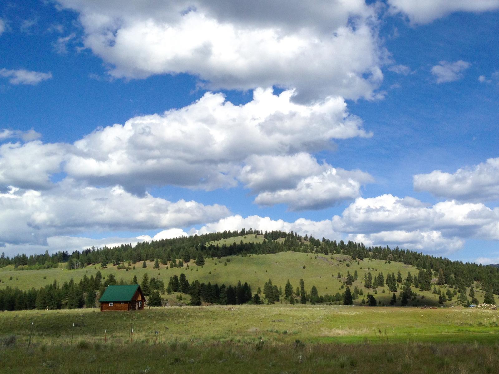
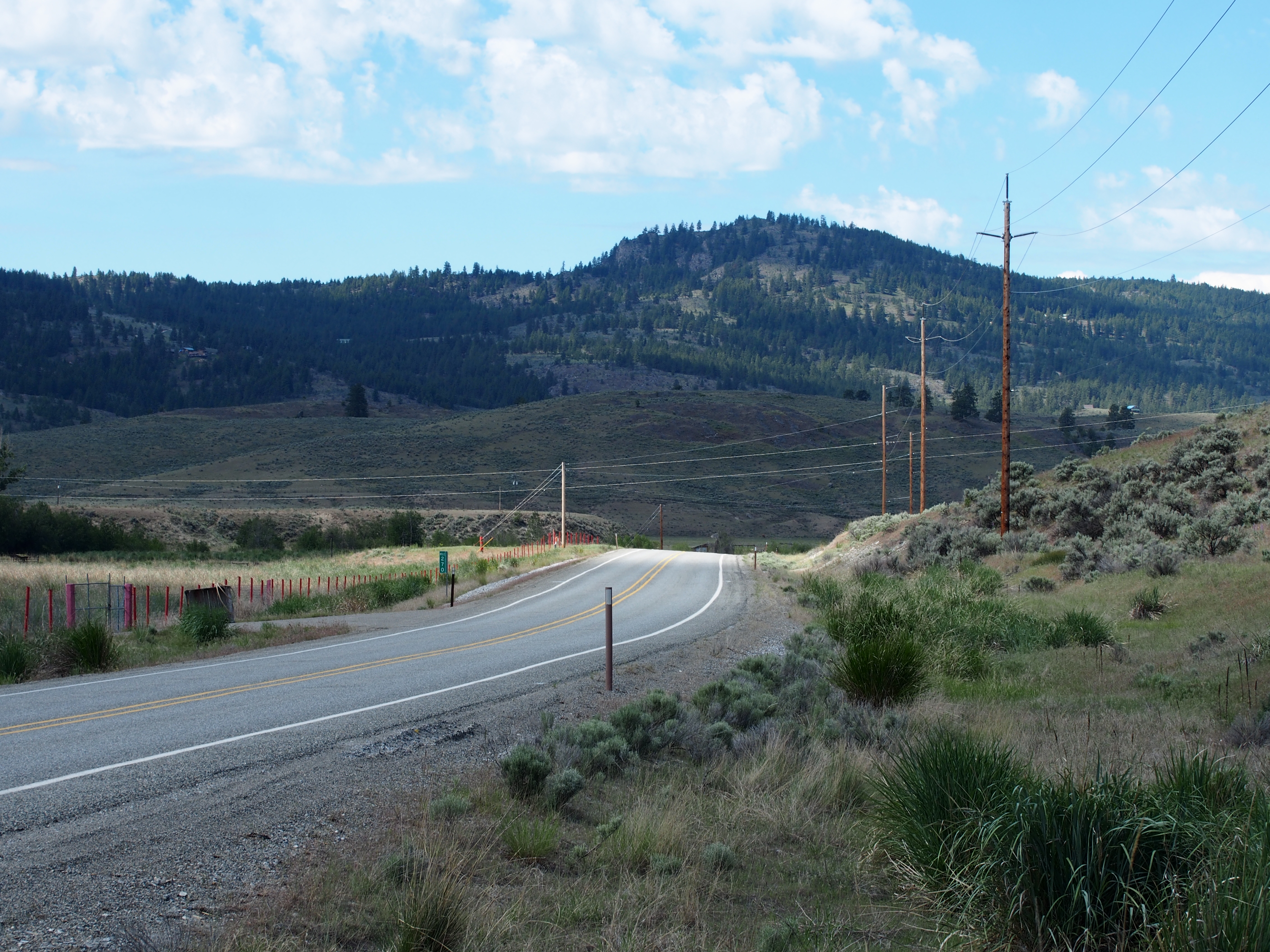
Ranch near Aeneas, Washington
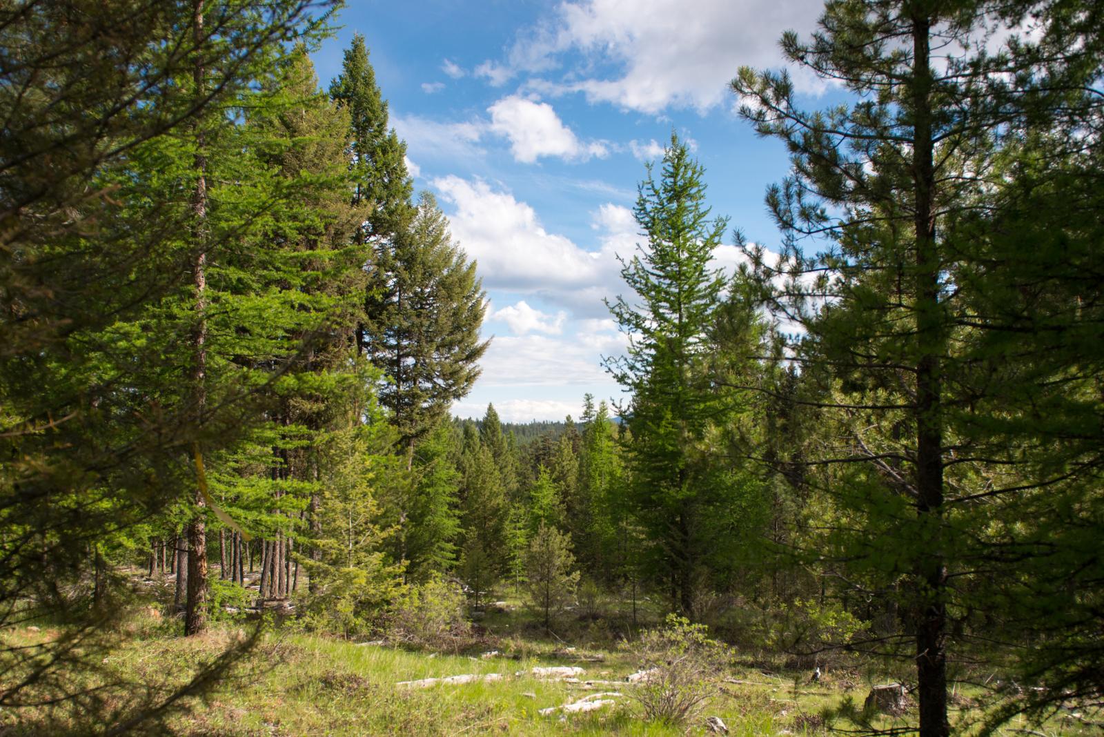
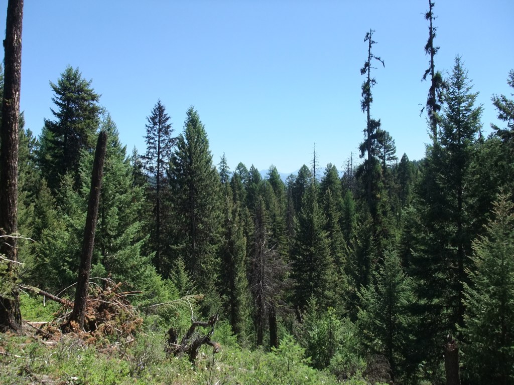
Okanogan National Forest near Fir Mountain
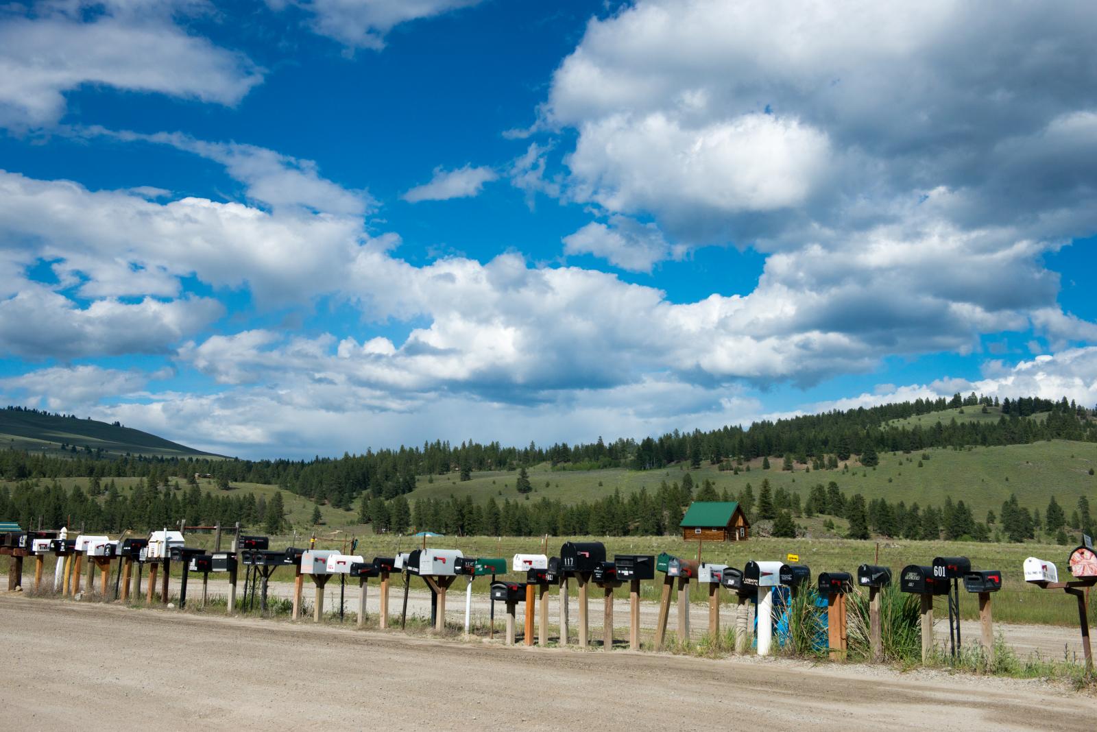
long row of mailboxes on Aeneas Valley Road
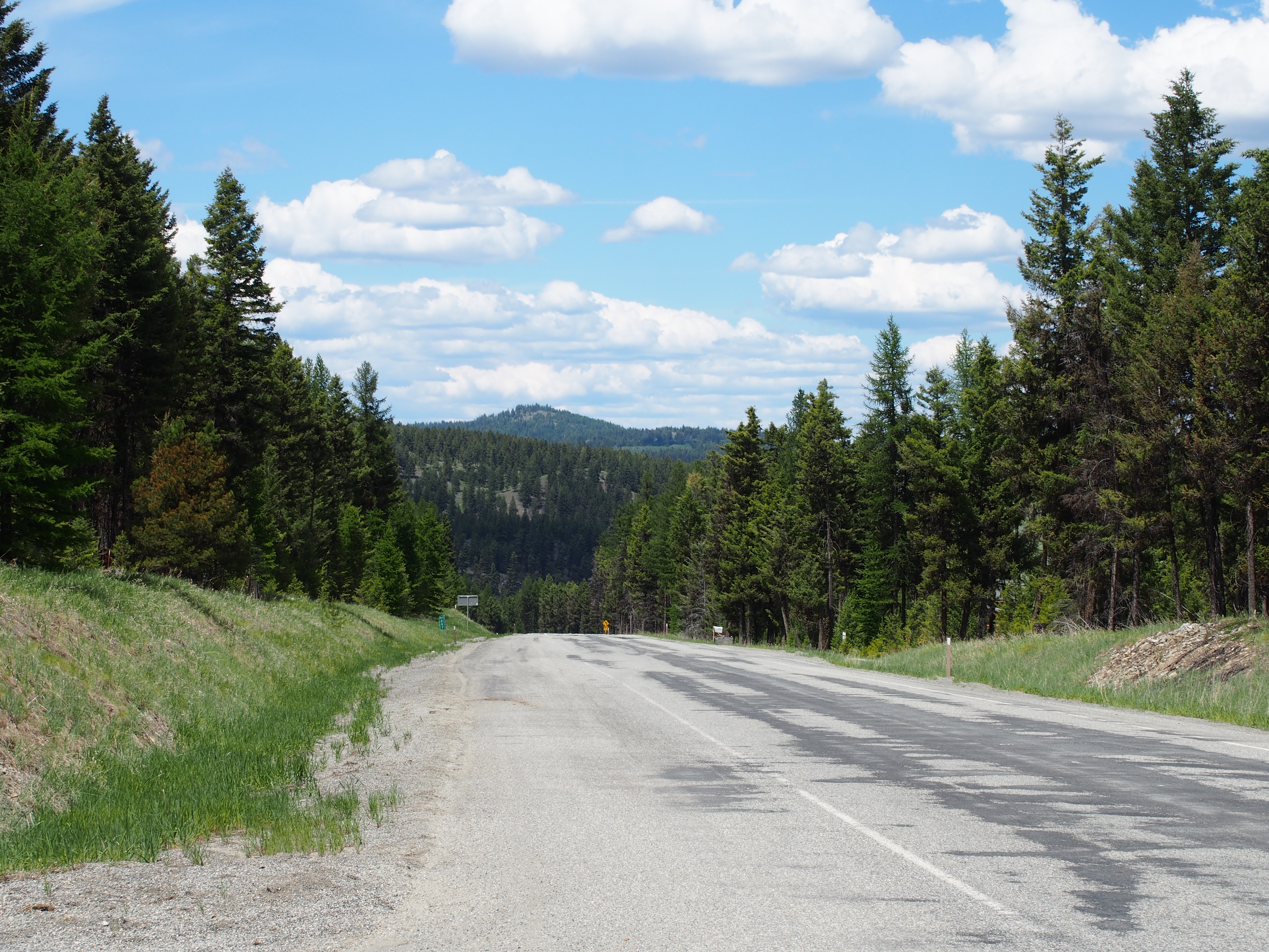
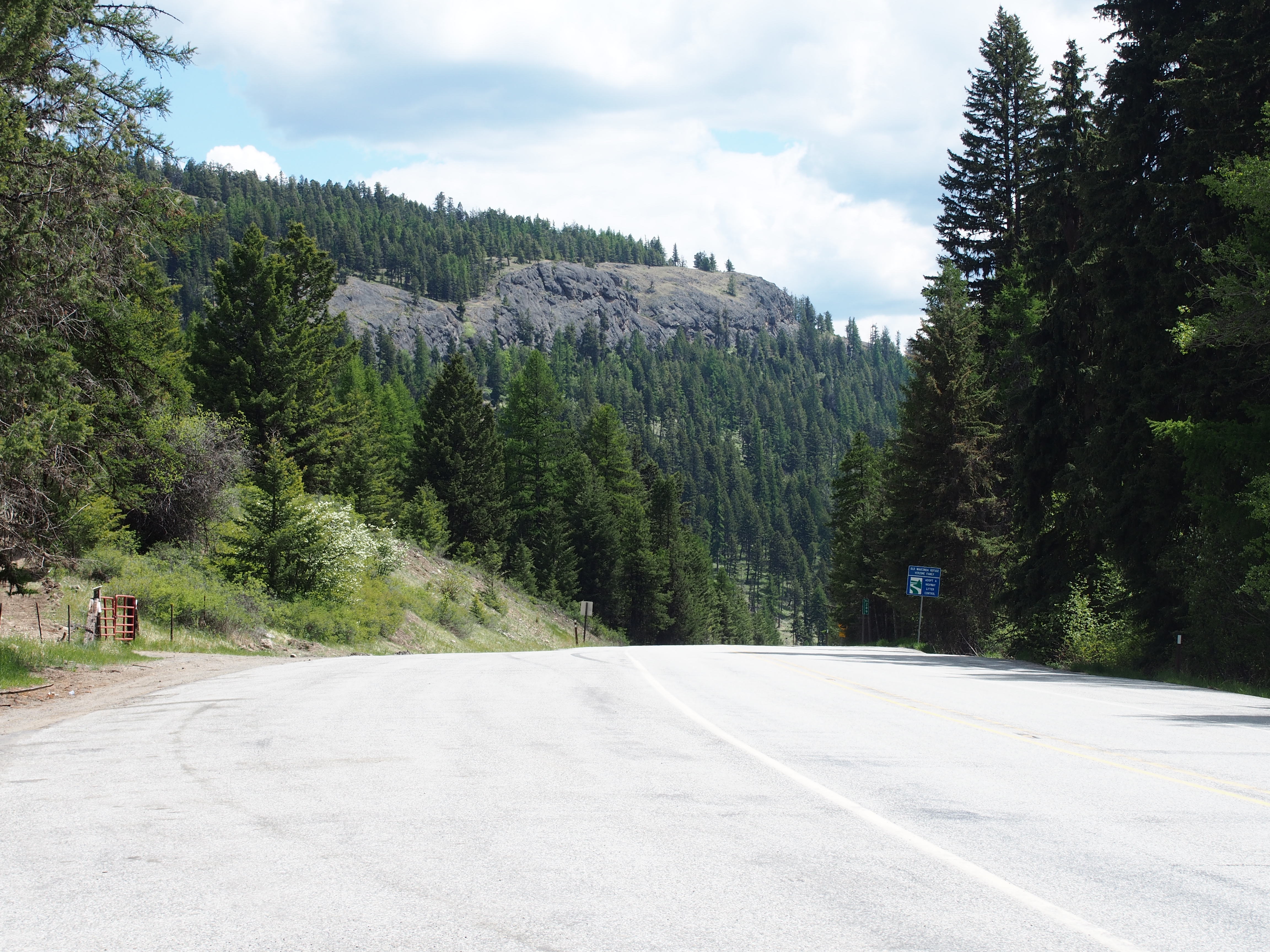
SR-20 at Wauconda Pass

SR-20

SR-20
SR-20
SR-20
Fir Mountain Trail - 3
Topographic Map of Neil Cir S Rd, Tonasket, WA, USA
Find elevation by address:

Places near Neil Cir S Rd, Tonasket, WA, USA:
251 Neil Cir S Rd
196 Neil Circle Rd S
196 Neil Circle Rd S
183 Neil Circle Rd S
183 Neil Circle Rd S
183 Neil Circle Rd S
183 Neil Circle Rd S
Neil Canyon Road
151 Cape Labelle Rd
361 Neil Cir S Rd
153 High Country Dr W
Main Road
670 Aeneas Valley Rd
48 Long Lake Ln
16 Breezy Ln
Highvalley Road
50 Bailey Meadows Rd
47 Bailey Meadows Rd
1241 Aeneas Valley Rd
1241 Aeneas Valley Rd
Recent Searches:
- Elevation of Congressional Dr, Stevensville, MD, USA
- Elevation of Bellview Rd, McLean, VA, USA
- Elevation of Stage Island Rd, Chatham, MA, USA
- Elevation of Shibuya Scramble Crossing, 21 Udagawacho, Shibuya City, Tokyo -, Japan
- Elevation of Jadagoniai, Kaunas District Municipality, Lithuania
- Elevation of Pagonija rock, Kranto 7-oji g. 8"N, Kaunas, Lithuania
- Elevation of Co Rd 87, Jamestown, CO, USA
- Elevation of Tenjo, Cundinamarca, Colombia
- Elevation of Côte-des-Neiges, Montreal, QC H4A 3J6, Canada
- Elevation of Bobcat Dr, Helena, MT, USA