Elevation of White Oak, AR, USA
Location: United States > Arkansas > Franklin County > White Oak Township >
Longitude: -93.859085
Latitude: 35.5461952
Elevation: 148m / 486feet
Barometric Pressure: 100KPa
Elevation Map:
Satellite Map:
Related Photos:

Mt Zion Church

A moment in the golden hour
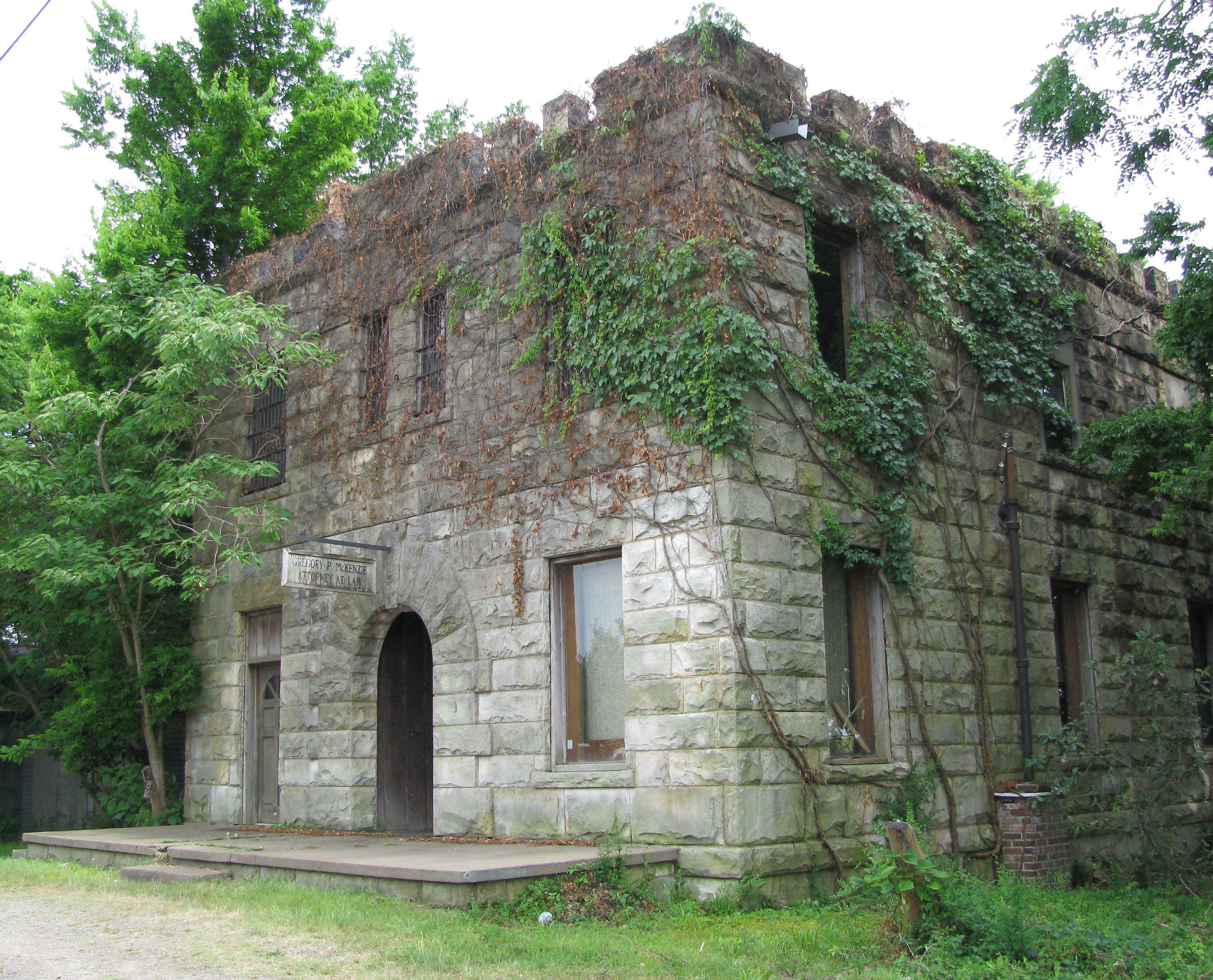
Attorney at Law

Drivers view
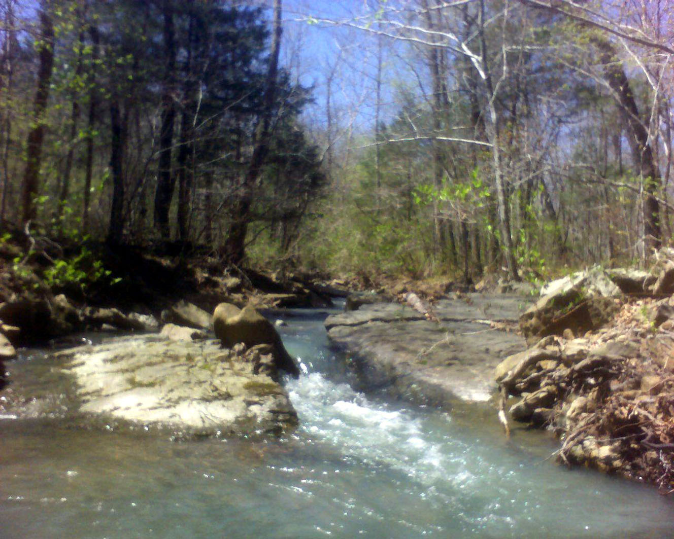
White Rock Mountain - Day 1 - Hurricane Creek

Front View

Point of impact
White Rock Mountain - Day 1 - Forest Road 1505

White Rock Mountain - Day 1 - Jonas

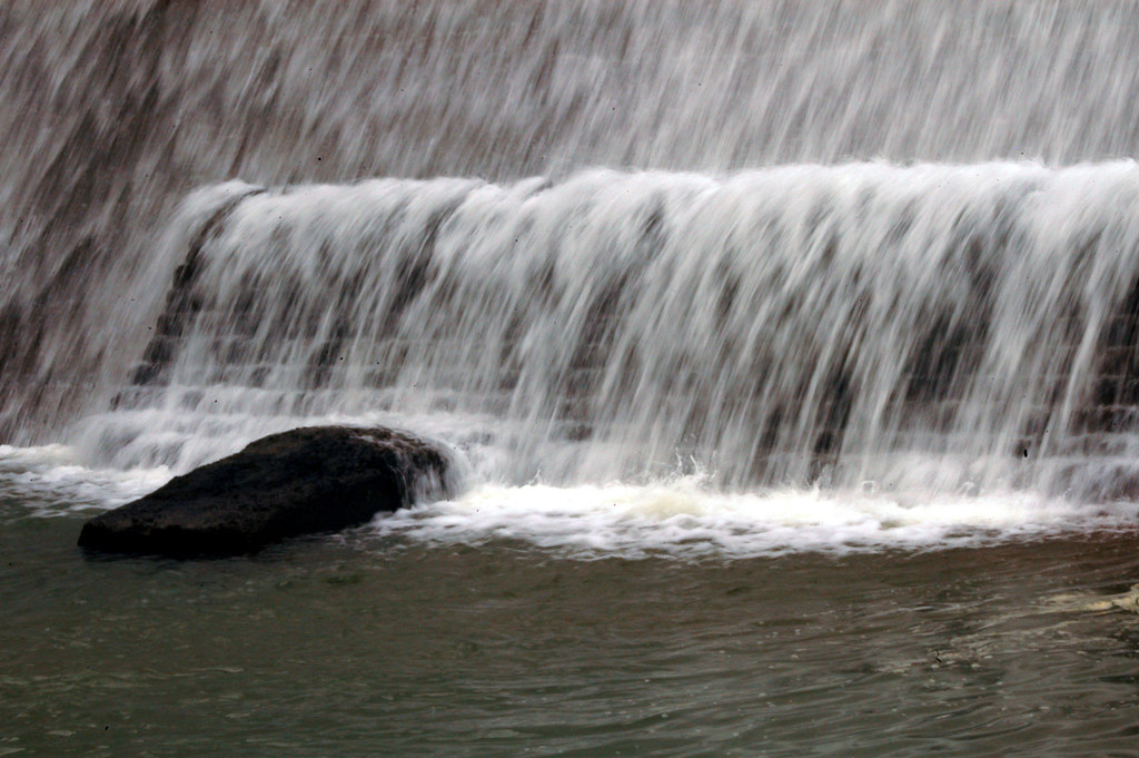
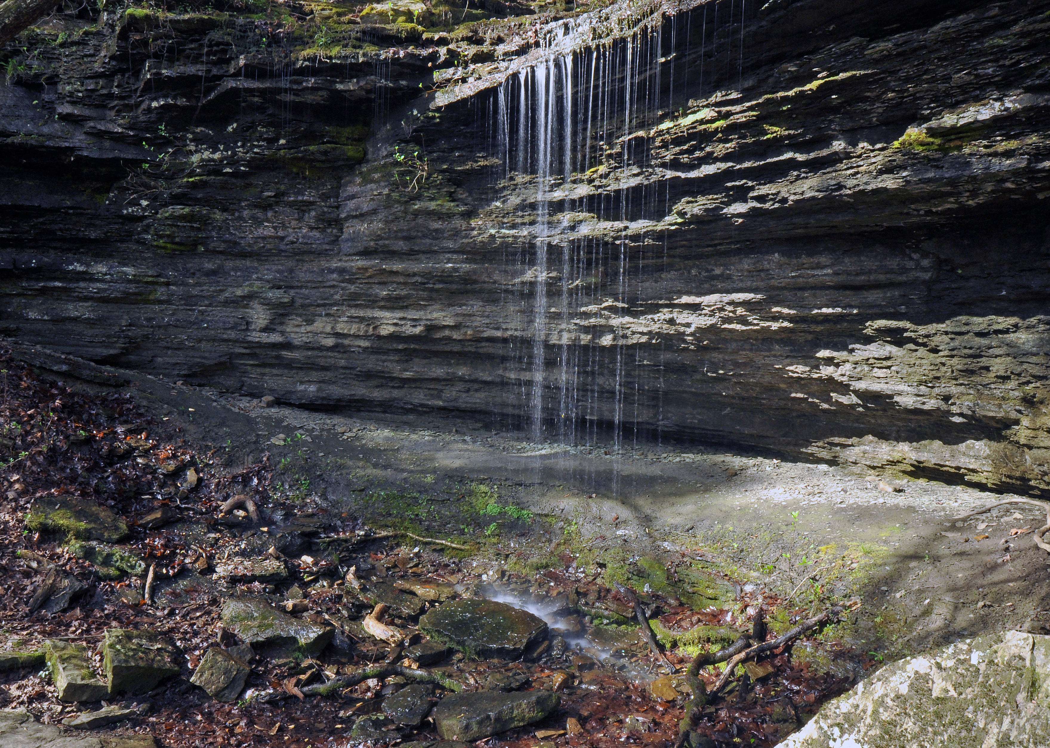
Pig Trail Falls

White Rock Mountain
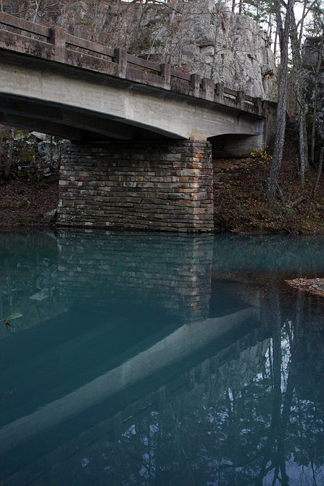
White Rock Mountain-dam

White Rock Mountain

White Rock Mountain-sunset
Little mountain stream

White Rock Mountain
St. Mary's Catholic Church
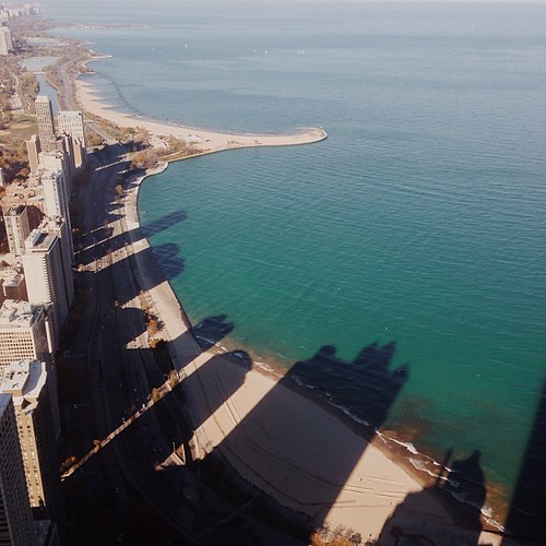
Surveying Wine Country
nobody there

Firery Sunrise

Golden Hour
Pig Trail Falls

Highway 352

Waves of Color
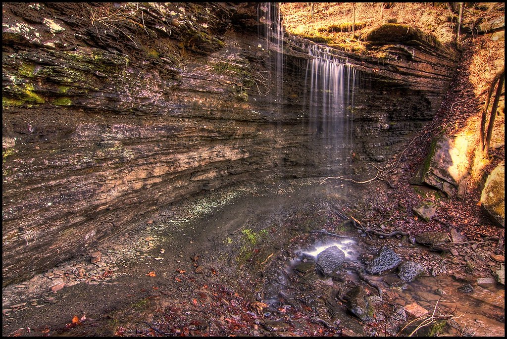
Pig Trail Falls
I wonder if the fish know what the dark areas are? Or if the even realize busy people are up there doing busy-work? #chitown #vscocam
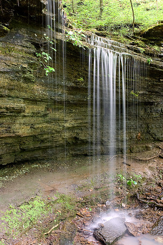
Pig Trail Falls

Shores Lake-6

Tundra crossing the Rubicon...
Topographic Map of White Oak, AR, USA
Find elevation by address:

Places near White Oak, AR, USA:
1817 N 3rd St
Wire Rd, Ozark, AR, USA
White Oak Township
Franklin County
Celebrate Recovery
Ozark
Middle Ridge Rd, Ozark, AR, USA
Walker Township
Santa Fe Trail, Ozark, AR, USA
Cat Holler Road
AR-23, Ozark, AR, USA
Scenic View Drive
5318 Us-64
Middle Township
6705 W Creek Rd
Boston Township
7347 Hickory Ridge Rd
Cecil
Altus
1700 St Marys Mountain Rd
Recent Searches:
- Elevation of Vista Blvd, Sparks, NV, USA
- Elevation of 15th Ave SE, St. Petersburg, FL, USA
- Elevation of Beall Road, Beall Rd, Florida, USA
- Elevation of Leguwa, Nepal
- Elevation of County Rd, Enterprise, AL, USA
- Elevation of Kolchuginsky District, Vladimir Oblast, Russia
- Elevation of Shustino, Vladimir Oblast, Russia
- Elevation of Lampiasi St, Sarasota, FL, USA
- Elevation of Elwyn Dr, Roanoke Rapids, NC, USA
- Elevation of Congressional Dr, Stevensville, MD, USA