Elevation of N 3rd St, Ozark, AR, USA
Location: United States > Arkansas > Franklin County > White Oak Township >
Longitude: -93.822758
Latitude: 35.5091226
Elevation: 195m / 640feet
Barometric Pressure: 99KPa
Elevation Map:
Satellite Map:
Related Photos:

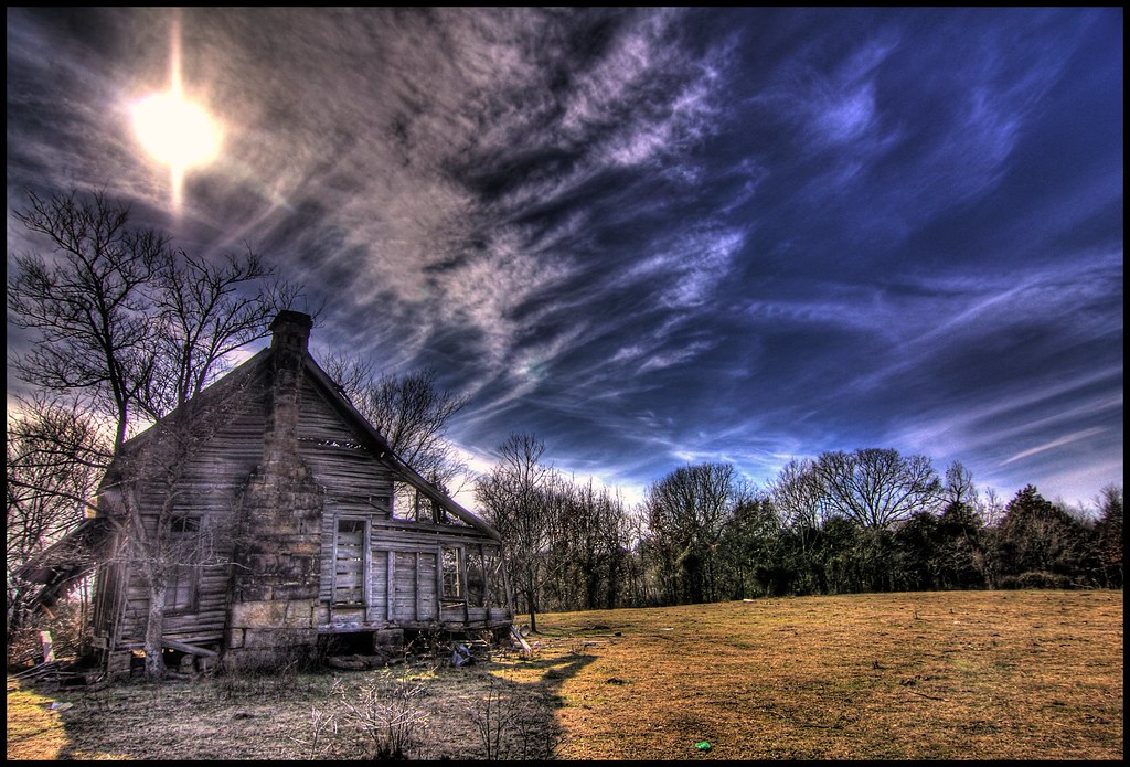
A moment in the golden hour
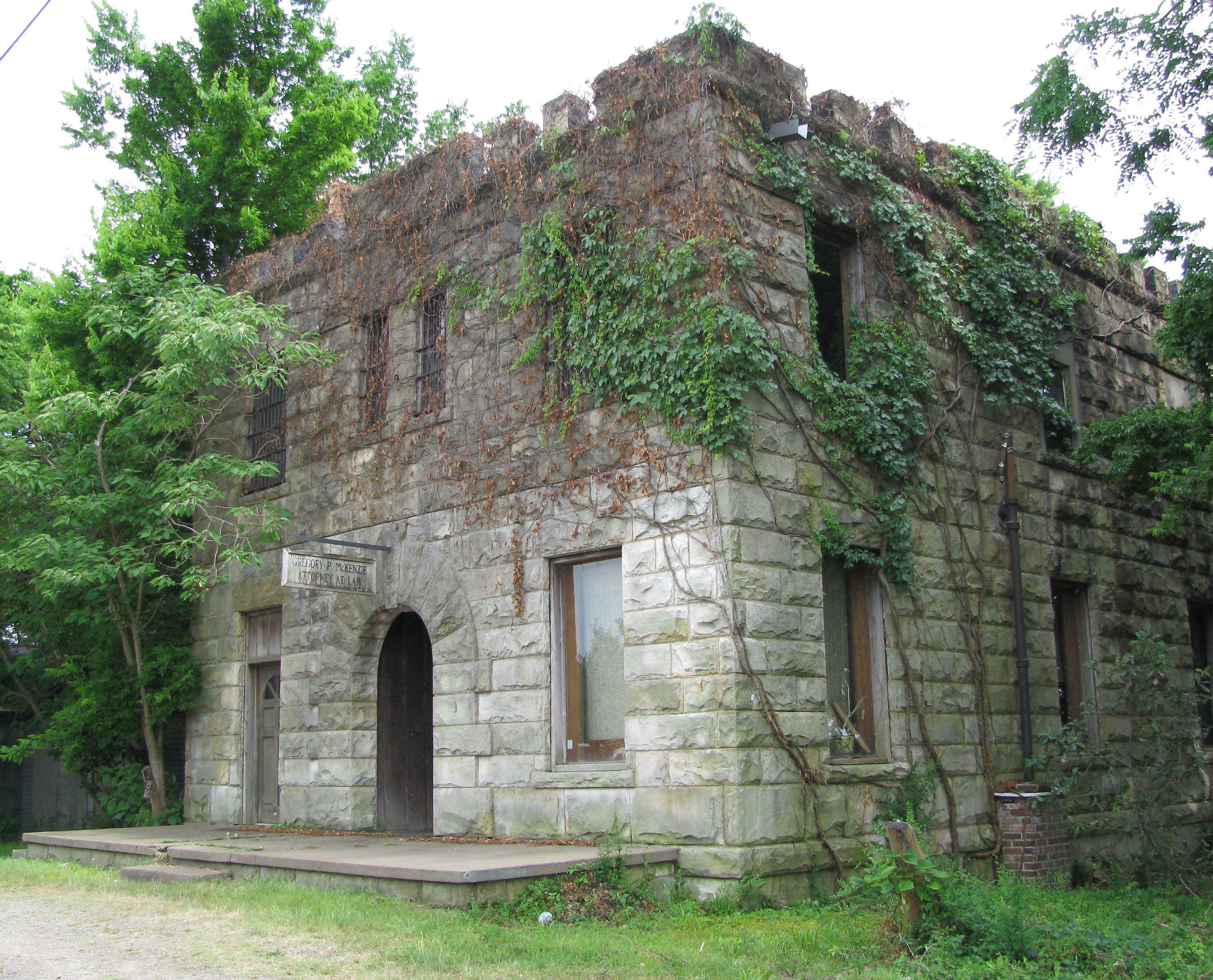
Attorney at Law
Drivers view
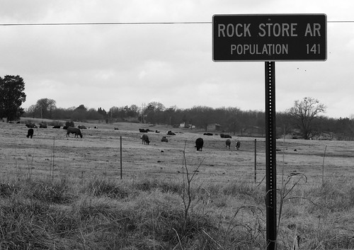
Rock Store AR

Front View

Mystery Bridge-Deck View

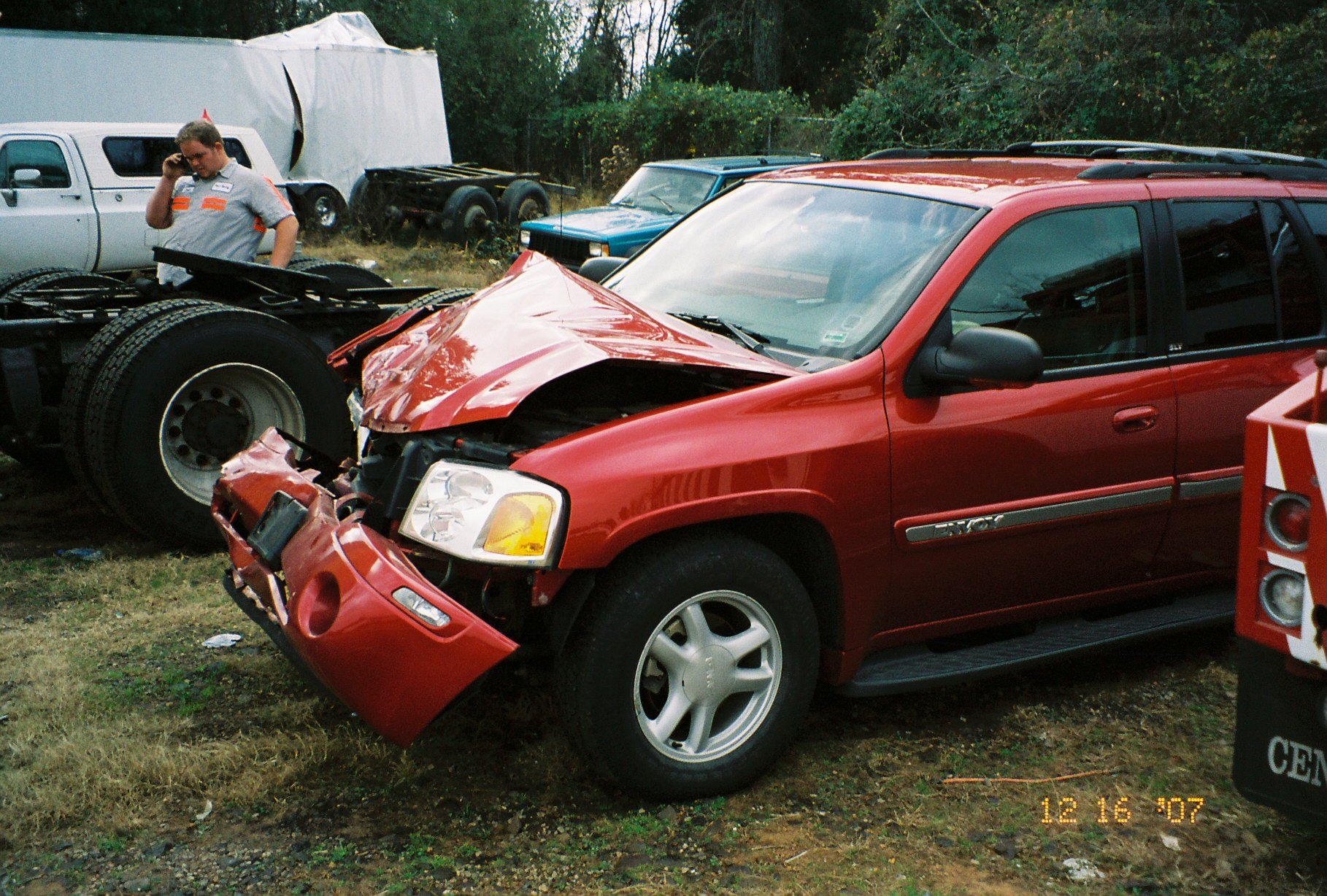
Point of impact
nobody there

Pig Trail Falls
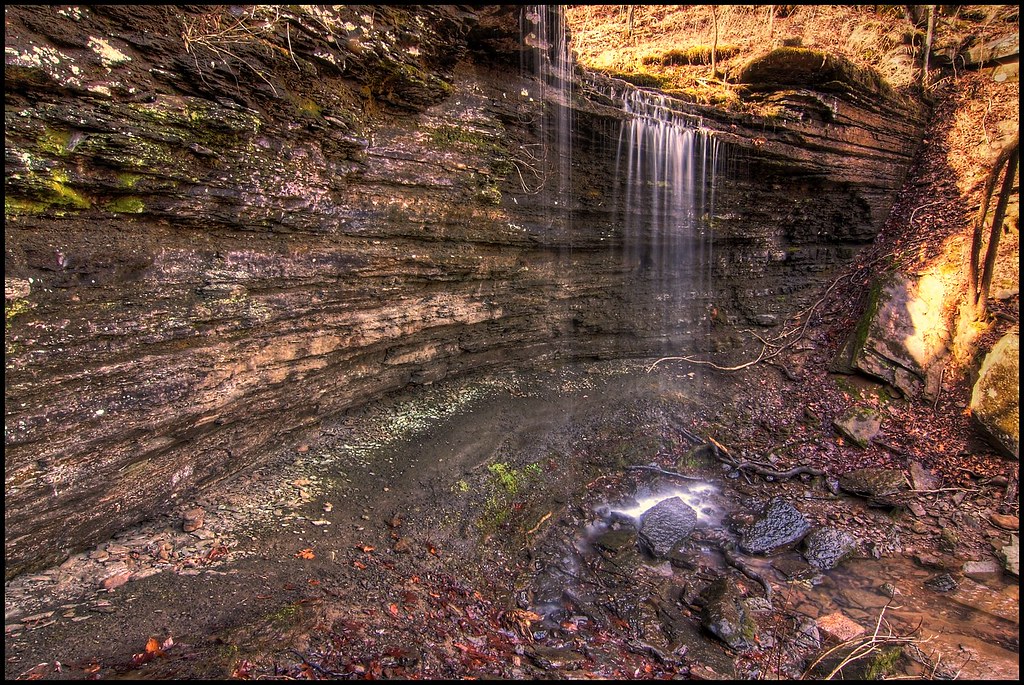
Pig Trail Falls

Firery Sunrise
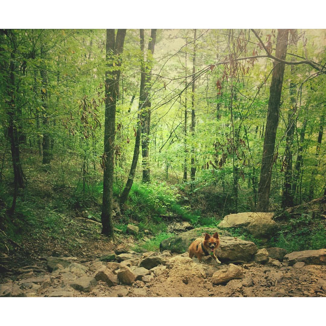
Buckaroo in the forest #mextures #naturelovers #ozarknationalforest #ozarkmountains
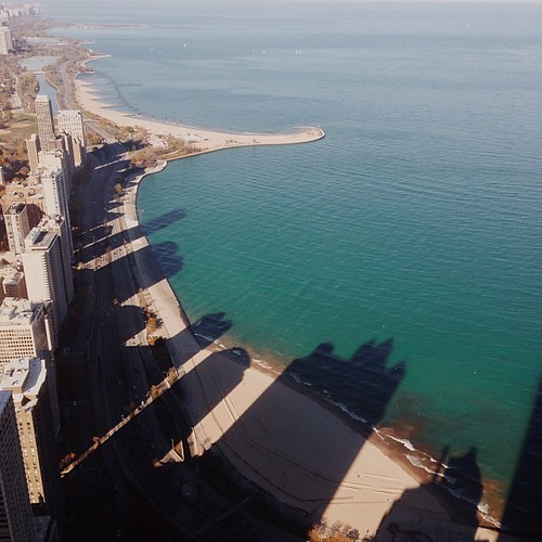
I wonder if the fish know what the dark areas are? Or if the even realize busy people are up there doing busy-work? #chitown #vscocam
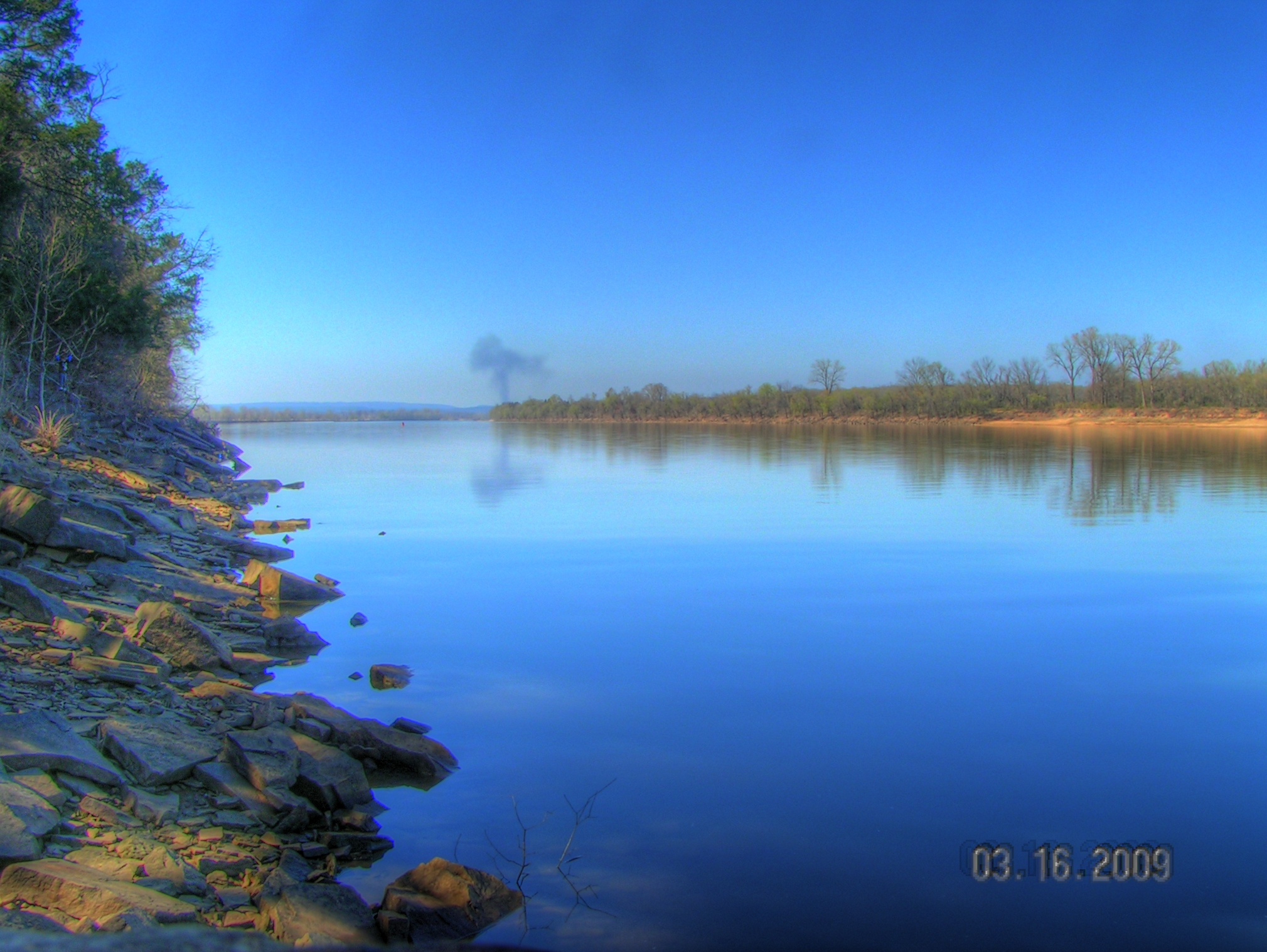
Arkansas River at Roseville
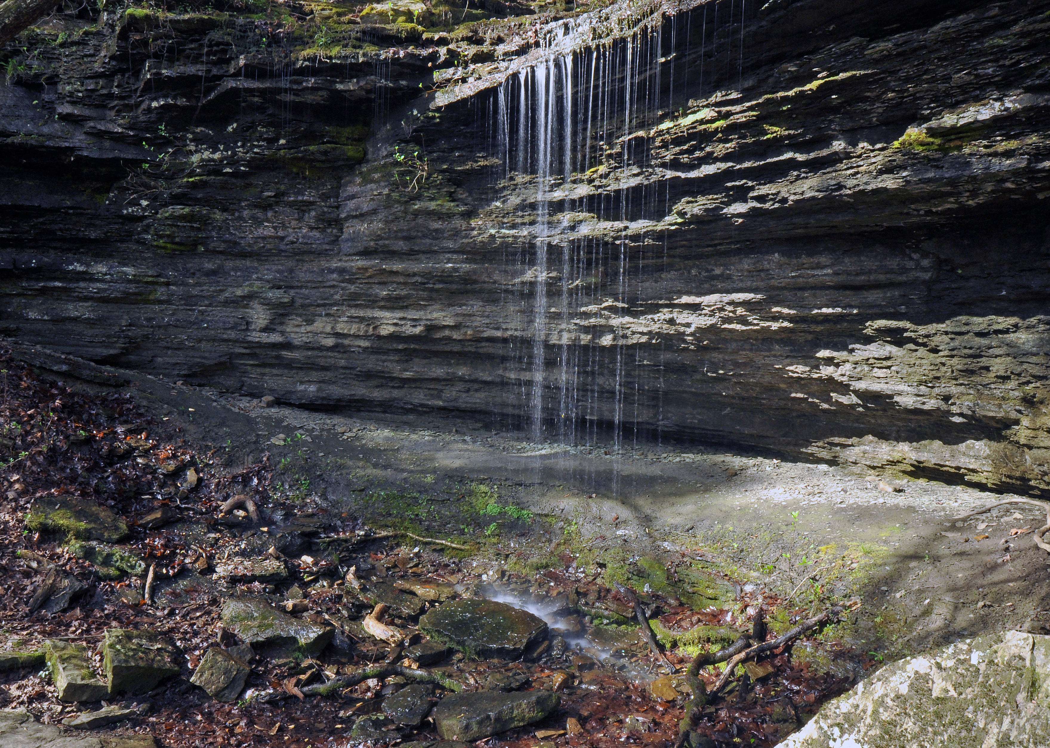
Pig Trail Falls

Golden Hour
St. Mary's Catholic Church

Waves of Color
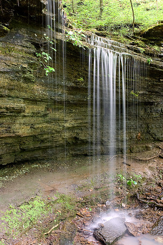
Pig Trail Falls
Surveying Wine Country
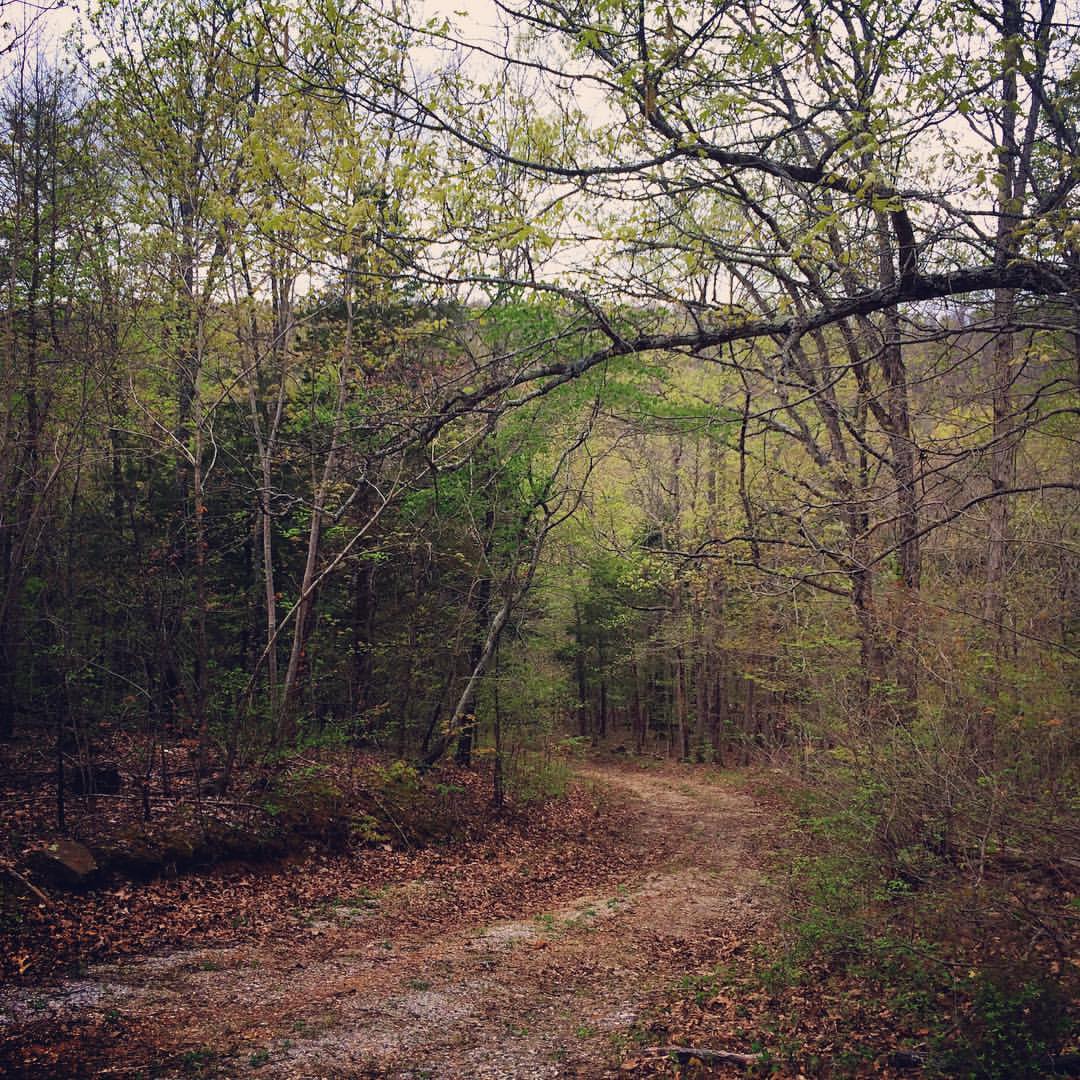
Beautiful Spring Drive
Topographic Map of N 3rd St, Ozark, AR, USA
Find elevation by address:

Places near N 3rd St, Ozark, AR, USA:
Celebrate Recovery
Ozark
White Oak Township
Santa Fe Trail, Ozark, AR, USA
White Oak
6705 W Creek Rd
Middle Township
Cat Holler Road
Franklin County
Altus
1700 St Marys Mountain Rd
Franklin, Altus, AR, USA
Hogan Township
Wire Rd, Ozark, AR, USA
E Church St, Altus, AR, USA
8537 Us-64
Middle Ridge Rd, Ozark, AR, USA
Walker Township
Scenic View Drive
Heritage Rd, Ozark, AR, USA
Recent Searches:
- Elevation of 72-31 Metropolitan Ave, Middle Village, NY, USA
- Elevation of 76 Metropolitan Ave, Brooklyn, NY, USA
- Elevation of Alisal Rd, Solvang, CA, USA
- Elevation of Vista Blvd, Sparks, NV, USA
- Elevation of 15th Ave SE, St. Petersburg, FL, USA
- Elevation of Beall Road, Beall Rd, Florida, USA
- Elevation of Leguwa, Nepal
- Elevation of County Rd, Enterprise, AL, USA
- Elevation of Kolchuginsky District, Vladimir Oblast, Russia
- Elevation of Shustino, Vladimir Oblast, Russia