Elevation of White Church Steyer Rd, Oakland, MD, USA
Location: United States > Maryland > Garrett County > 16, Mountain Lake Park >
Longitude: -79.322318
Latitude: 39.343943
Elevation: 828m / 2717feet
Barometric Pressure: 92KPa
Elevation Map:
Satellite Map:
Related Photos:

Baltimore & Ohio Altamont Tower, blue hour, 1980
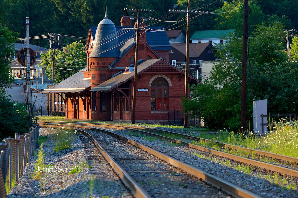
Evening Behind the Station
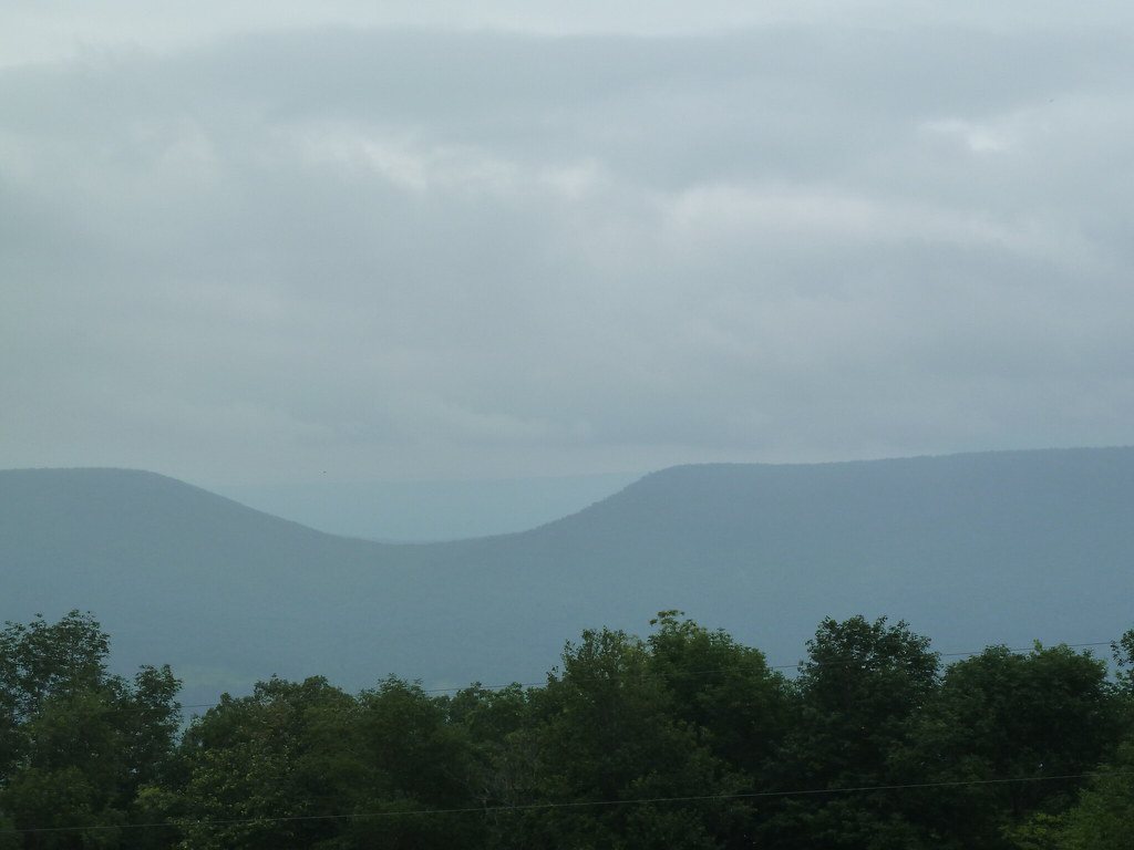
Where The View Is A Little Hazy
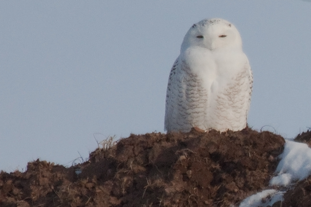
Snowy Owl
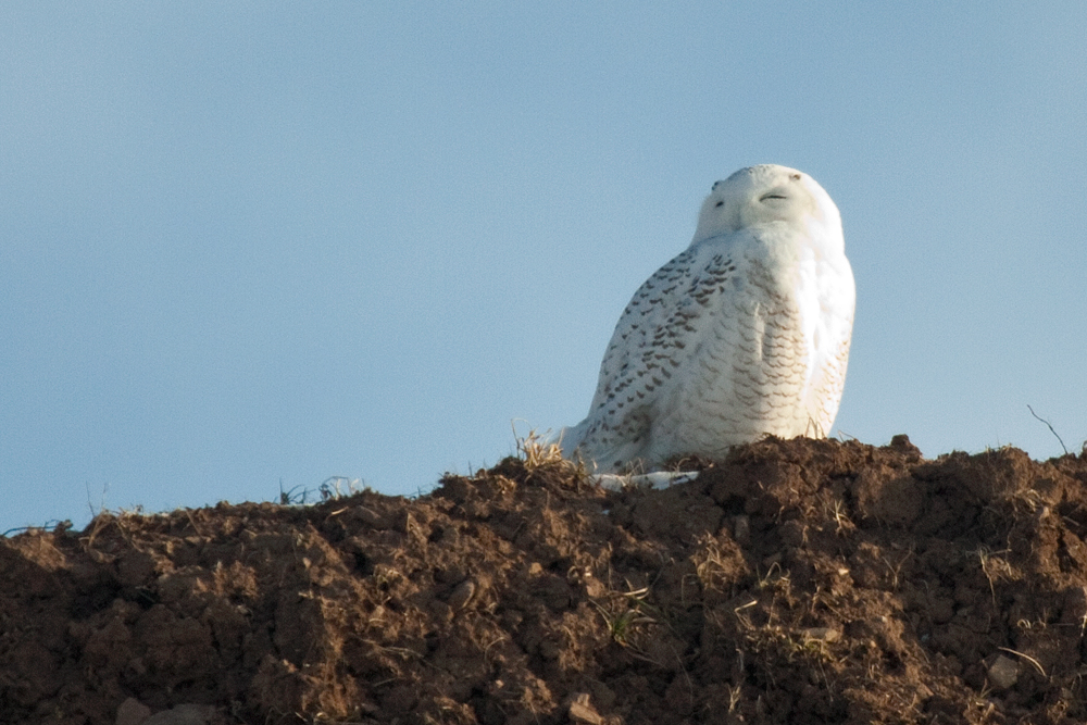
Snowy Owl
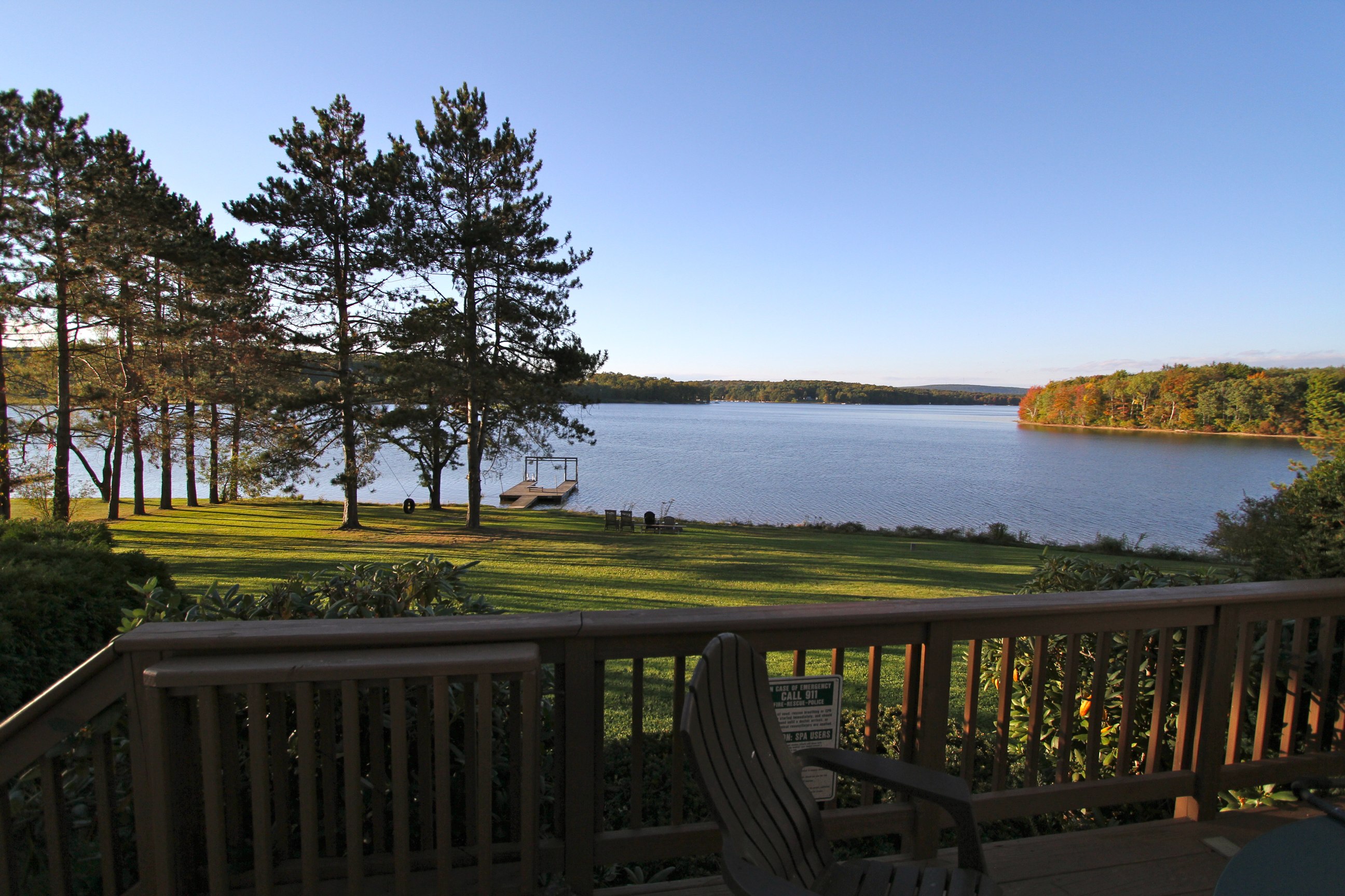
View from the Hot Tub

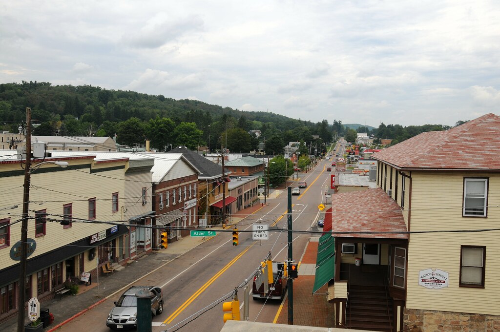
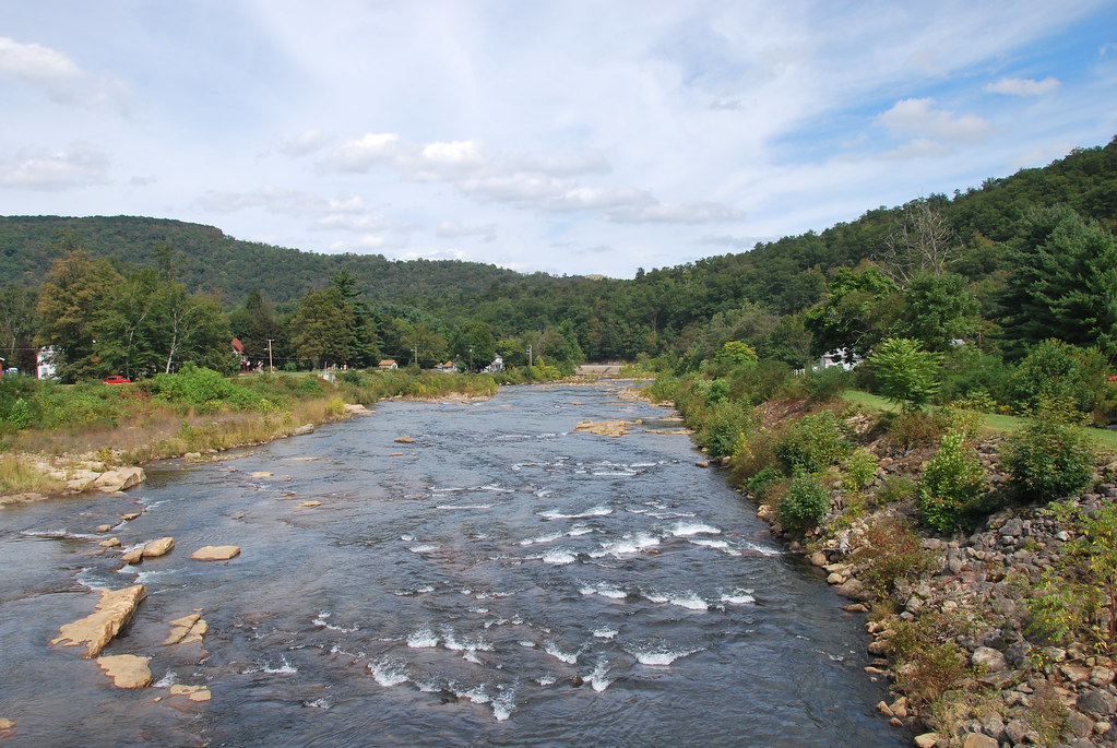
View down E. Third Street from E. Center Street
View from WV side of bridge
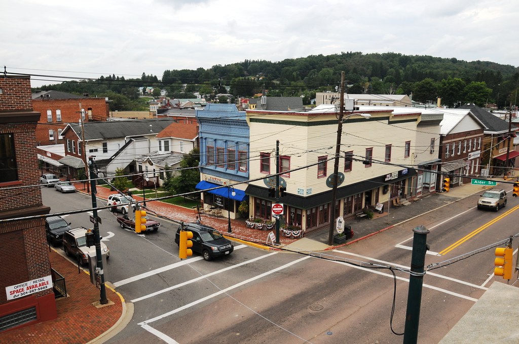
View from courthouse plaza
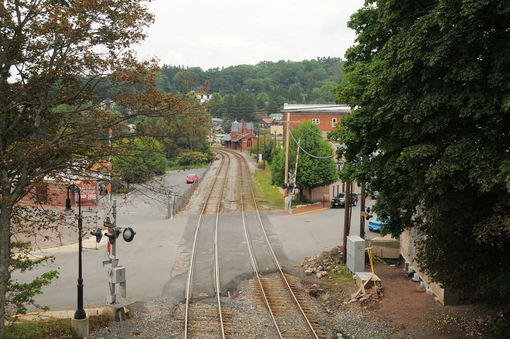
View from E. Oak Street railroad bridge
View down S. Third Street from courthouse plaza
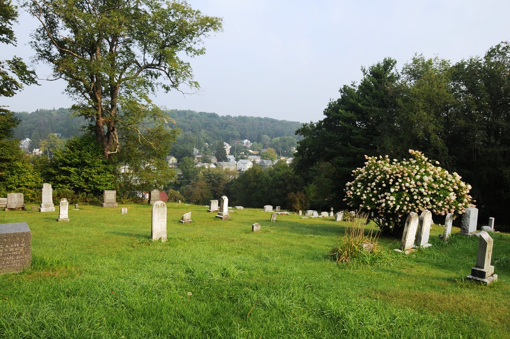
View of Oakland from the cemetery

Oakland MD Victorian Train Station
Line Up

2015-07-22 5176
2013-07-17 2081

Dramatic Clouds
DC_SW-Falls_ 021

20140628_DeepCreekMD_026.jpg
Hiking Scene
DC_SW-Falls_ 020
gone fishin'
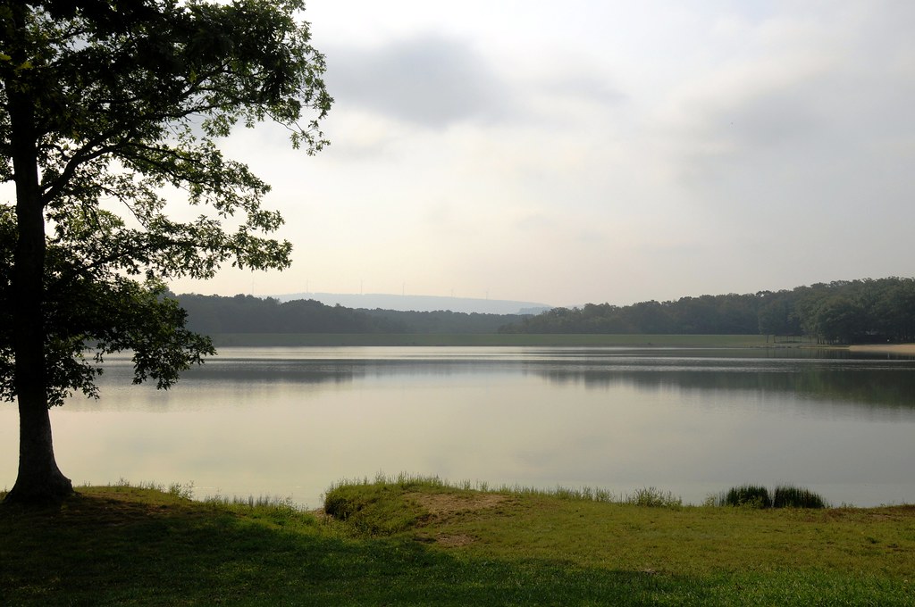
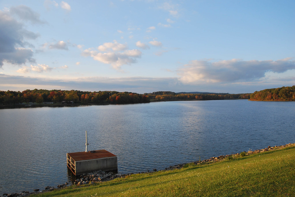
Broadford Park Lake
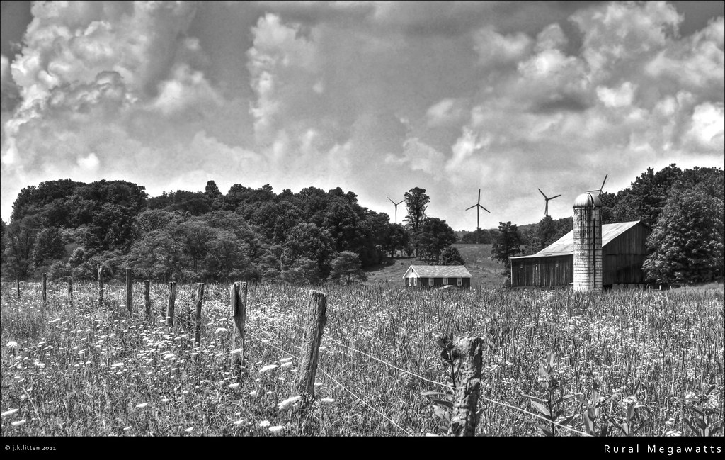
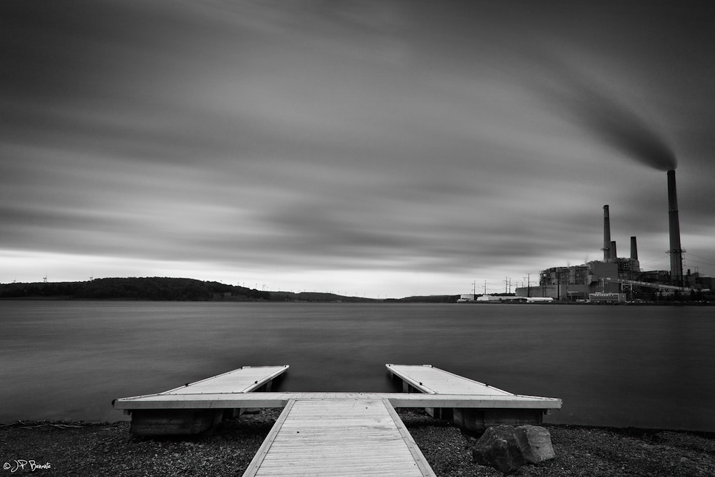
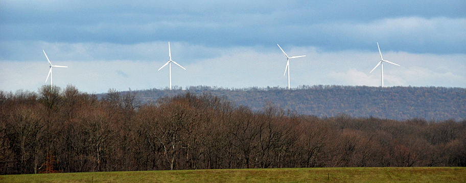
Rural Megawatts
2013-09-14 2375
Baltimore and Ohio Railroad Station, Oakland
Broadford Lake Park

(Other Rider Photos) Day 3 - Dirt Road
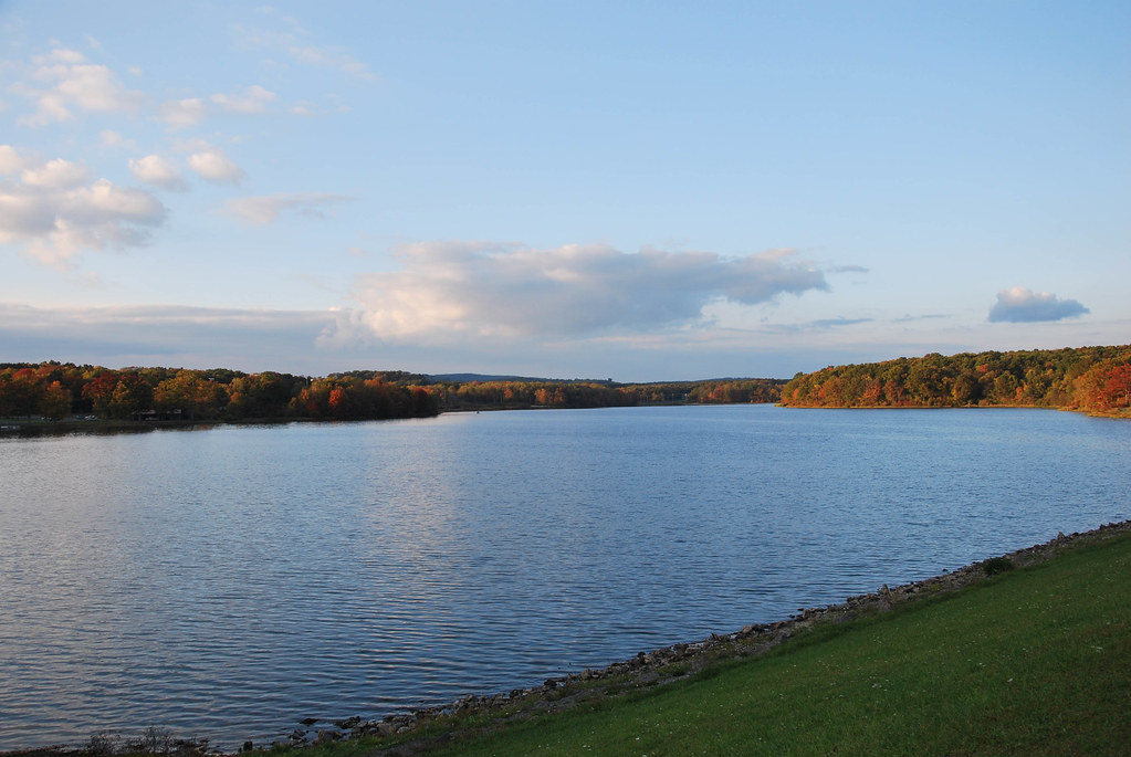
Broadford Lake Park
Deer Park -01
Misty mountains, Maryland
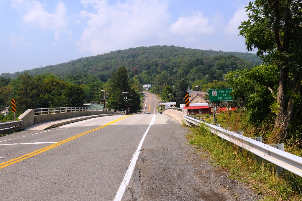
North Branch Potomac River at Kitzmiller, MD
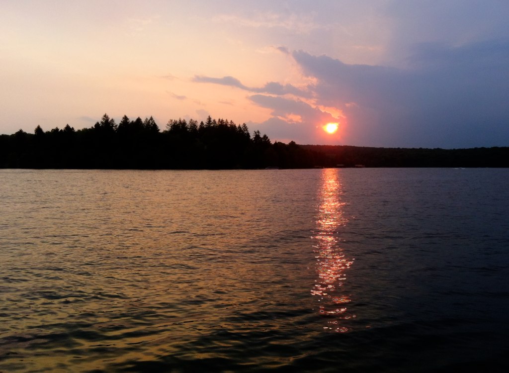
Deep Creek Sunset 01
Topographic Map of White Church Steyer Rd, Oakland, MD, USA
Find elevation by address:

Places near White Church Steyer Rd, Oakland, MD, USA:
3683 White Church Steyer Rd
2658 Steyer Mine Rd
56 White Church Steyer Rd, Oakland, MD, USA
340 Lady Slipper Ln
8190 George Washington Hwy
Potomac Ave, Mt Storm, WV, USA
Mt Storm, WV, USA
Mount Storm
130 Wycroff Run Rd
3388 George Washington Hwy
Bismarck Road
Bismarck Road
8, Red House
Mount Storm Lake
Turner Douglas Rd, Terra Alta, WV, USA
Elk Garden, WV, USA
Backbone Drive
Eglon
HORSE SHOE RN, WV, USA
Horse Shoe Run
Recent Searches:
- Elevation of Chesaw Rd, Oroville, WA, USA
- Elevation of N, Mt Pleasant, UT, USA
- Elevation of 6 Rue Jules Ferry, Beausoleil, France
- Elevation of Sattva Horizon, 4JC6+G9P, Vinayak Nagar, Kattigenahalli, Bengaluru, Karnataka, India
- Elevation of Great Brook Sports, Gold Star Hwy, Groton, CT, USA
- Elevation of 10 Mountain Laurels Dr, Nashua, NH, USA
- Elevation of 16 Gilboa Ln, Nashua, NH, USA
- Elevation of Laurel Rd, Townsend, TN, USA
- Elevation of 3 Nestling Wood Dr, Long Valley, NJ, USA
- Elevation of Ilungu, Tanzania