Elevation of Elk Garden, WV, USA
Location: United States > West Virginia > Elk Garden >
Longitude: -79.143564
Latitude: 39.3189269
Elevation: 864m / 2835feet
Barometric Pressure: 91KPa
Elevation Map:
Satellite Map:
Related Photos:

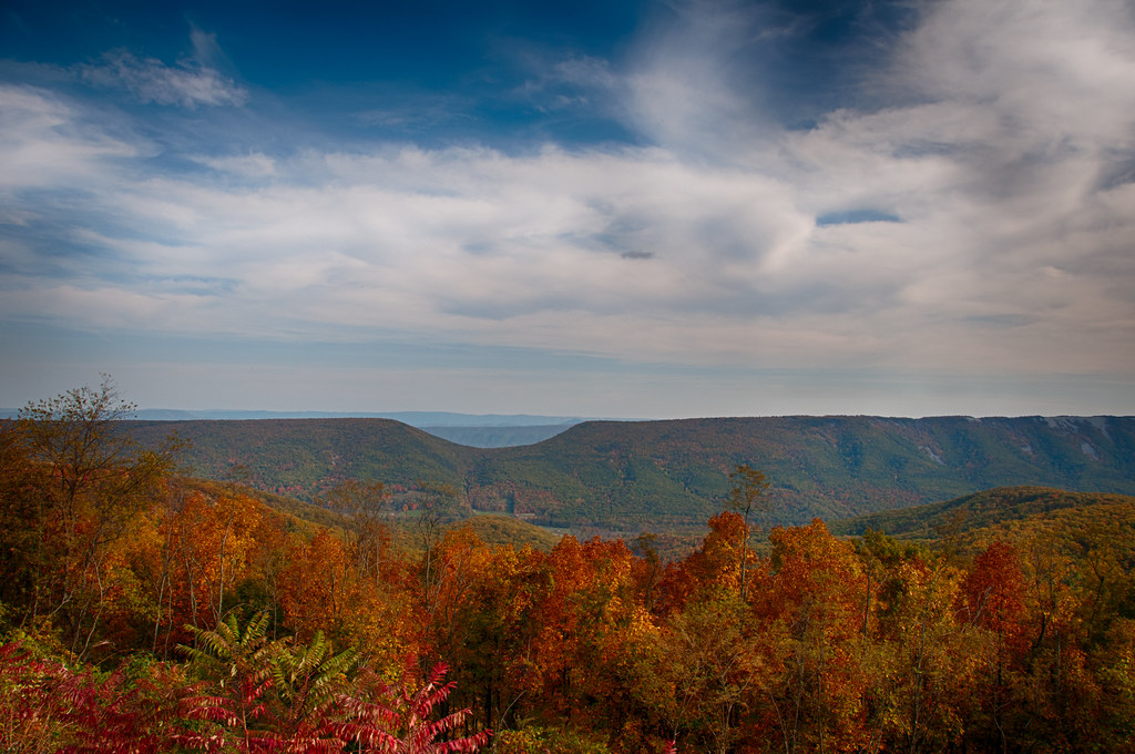
Saddle Mountain - Allegheny Front - WV - August 1960

A Fall View at Laurel Falls

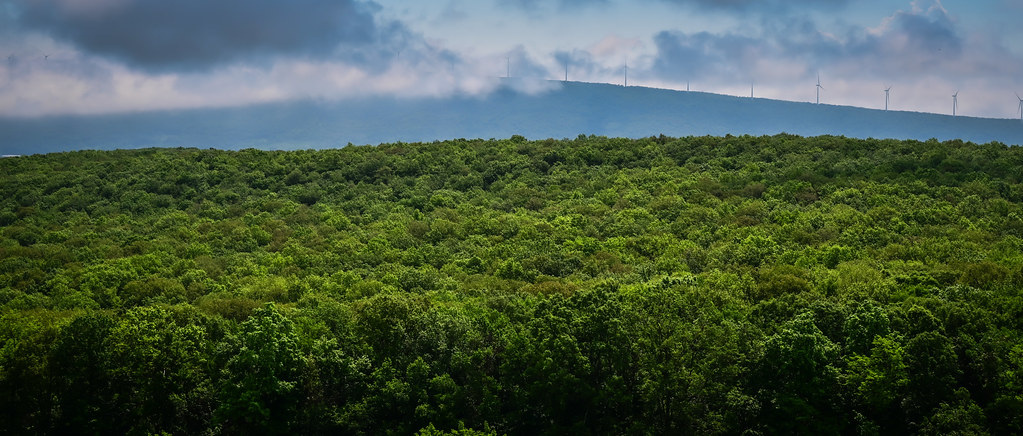
See The World In Green And Blue

Where The View Is A Little Hazy

Persian Speedwell
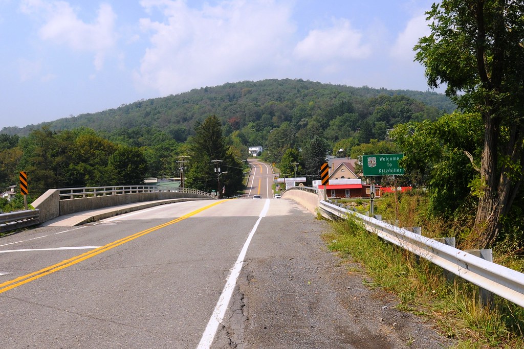
View from WV side of bridge

Hanging Out
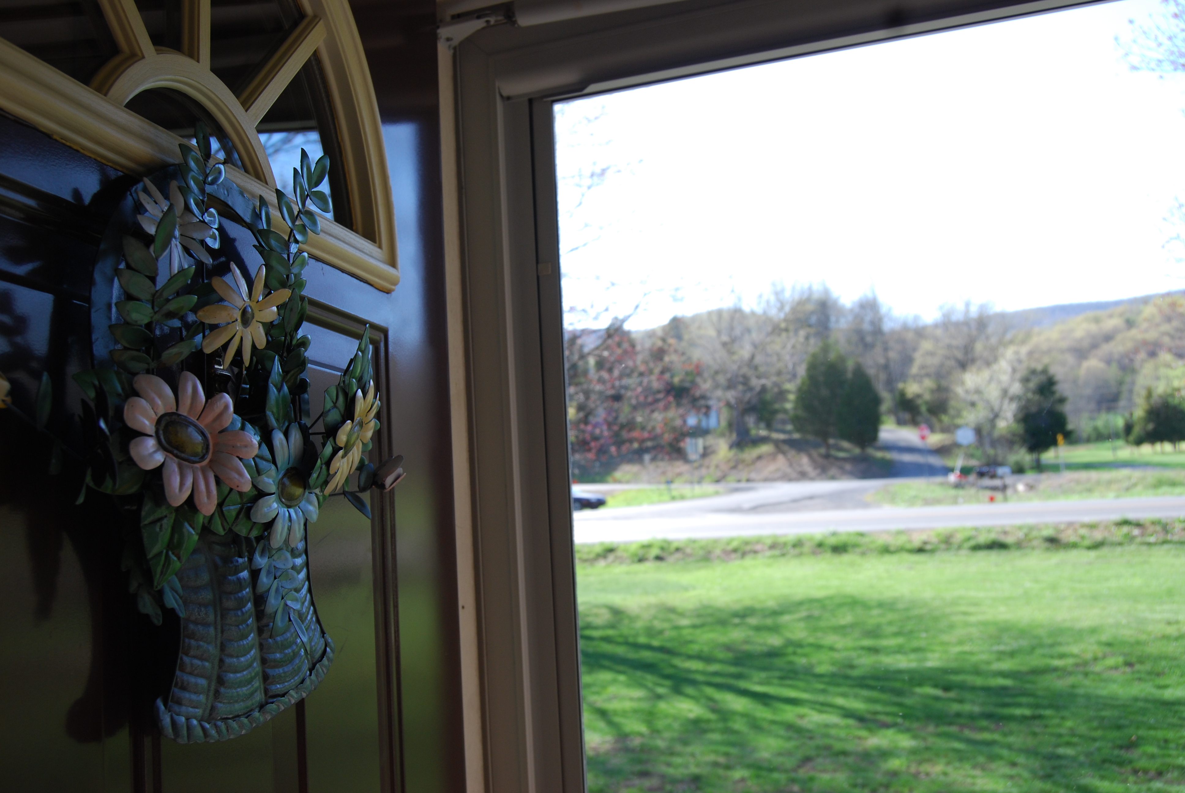
Out The Door

Dawn of 2018: Snowy Mountain Forest Sunrise

Allegheny Mountains along US Highway 48 near Mount Storm WV

Mountains in the Morning Fog

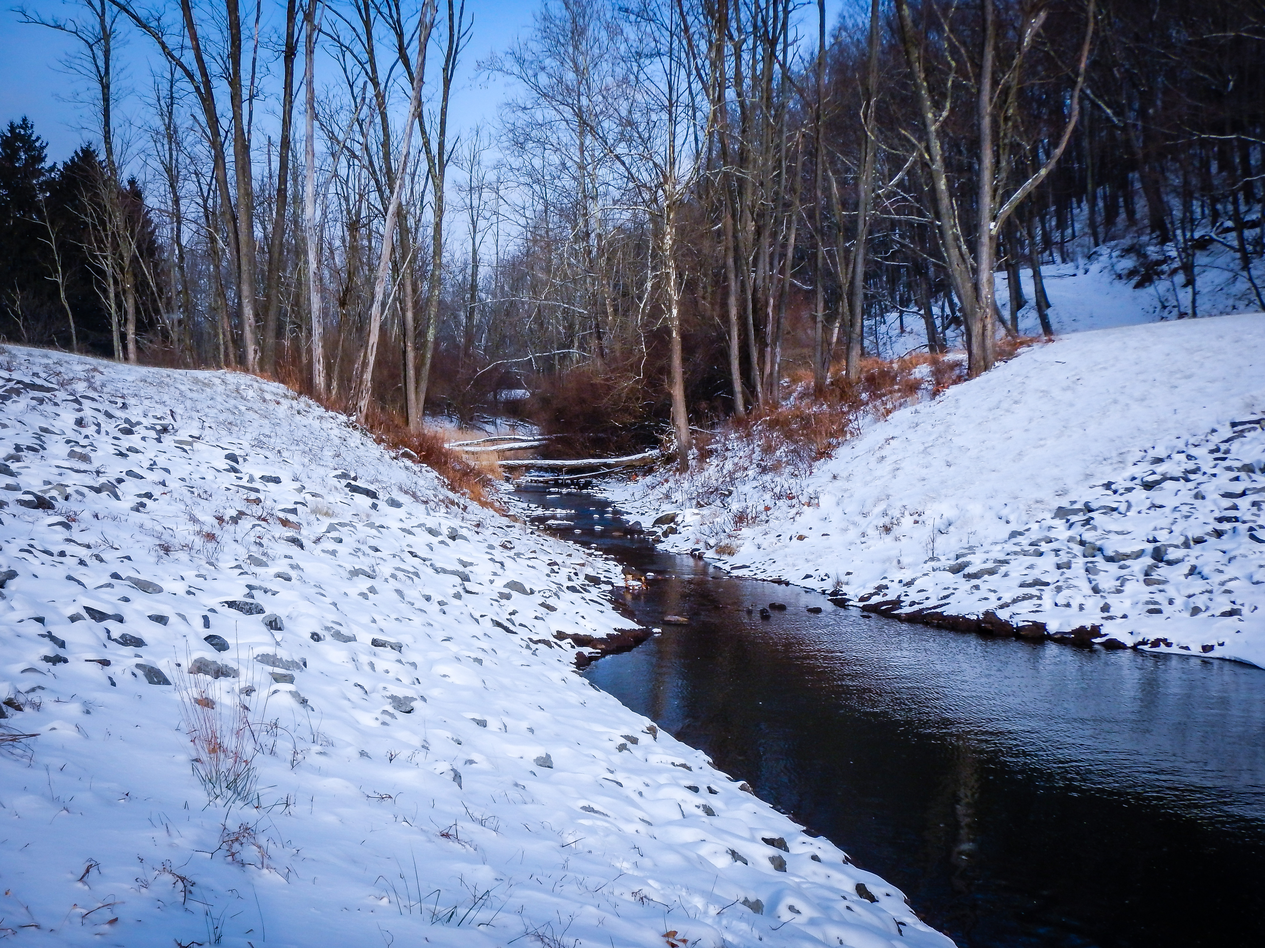
Mike's Run

The Soft Light of Evening

Nancy Hanks Lincoln Birthplace

Mike's Run

Mike's Run

Snow Below, Mineral County, WV

"The Pinnacle" Overlooking Keyser, WV
West Virginia Winter

US Highway 48 near Mount Storm WV

Jennings-Randolph Lake
Allegheny Mountains along US Highway 48 near Mount Storm WV

Greenland Gap Rocks
Saddle Mountain, WV

North Branch of the Potomac River, below Jennings Randolph Lake.

Northern Branch Potomac River
Topographic Map of Elk Garden, WV, USA
Find elevation by address:

Places near Elk Garden, WV, USA:
130 Wycroff Run Rd
Mount Storm
269 Tucker Ridge Rd
2957 Ed Welsh Rd
Mt Storm, WV, USA
Bismarck Road
Bismarck Road
2658 Steyer Mine Rd
56 White Church Steyer Rd, Oakland, MD, USA
Mount Storm Lake
White Church Steyer Rd, Oakland, MD, USA
708 County Rte 42/3
708 County Rte 42/3
3683 White Church Steyer Rd
Maysville
Grant
8190 George Washington Hwy
Grant County
Union
Potomac Ave, Mt Storm, WV, USA
Recent Searches:
- Elevation of Leguwa, Nepal
- Elevation of County Rd, Enterprise, AL, USA
- Elevation of Kolchuginsky District, Vladimir Oblast, Russia
- Elevation of Shustino, Vladimir Oblast, Russia
- Elevation of Lampiasi St, Sarasota, FL, USA
- Elevation of Elwyn Dr, Roanoke Rapids, NC, USA
- Elevation of Congressional Dr, Stevensville, MD, USA
- Elevation of Bellview Rd, McLean, VA, USA
- Elevation of Stage Island Rd, Chatham, MA, USA
- Elevation of Shibuya Scramble Crossing, 21 Udagawacho, Shibuya City, Tokyo -, Japan