Elevation of Mt Storm, WV, USA
Location: United States > West Virginia > Grant County > Union > Mount Storm >
Longitude: -79.267666
Latitude: 39.2586758
Elevation: 826m / 2710feet
Barometric Pressure: 92KPa
Elevation Map:
Satellite Map:
Related Photos:

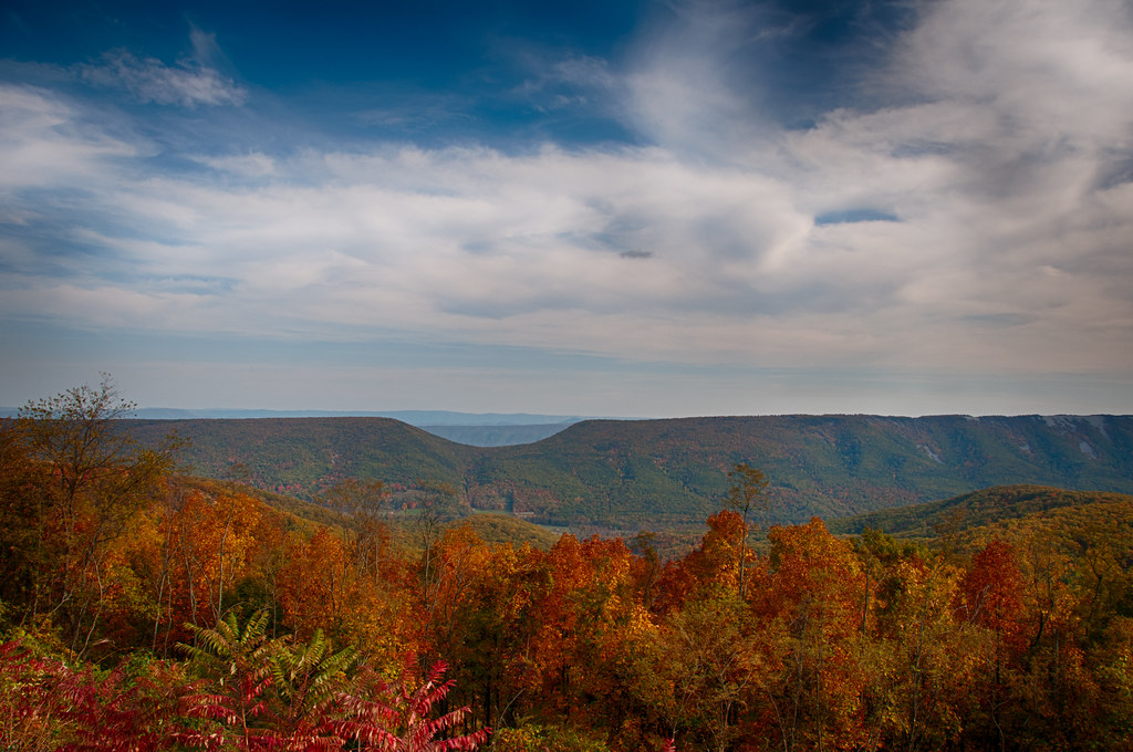
A Fall View at Laurel Falls

Where The View Is A Little Hazy

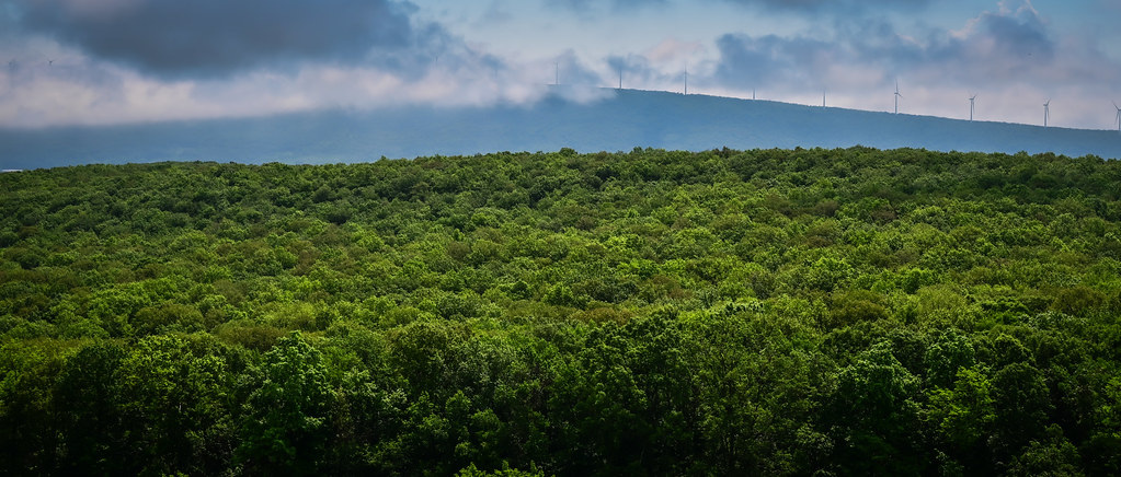
See The World In Green And Blue

Saddle Mountain - Allegheny Front - WV - August 1960
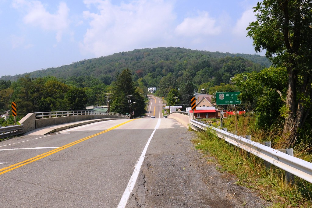
View from WV side of bridge

Dawn of 2018: Snowy Mountain Forest Sunrise

US Highway 48 near Mount Storm WV
Allegheny Mountains along US Highway 48 near Mount Storm WV
Saddle Mountain, WV

North Branch Potomac River at Kitzmiller, MD

North Branch Potomac River at Kitzmiller, MD
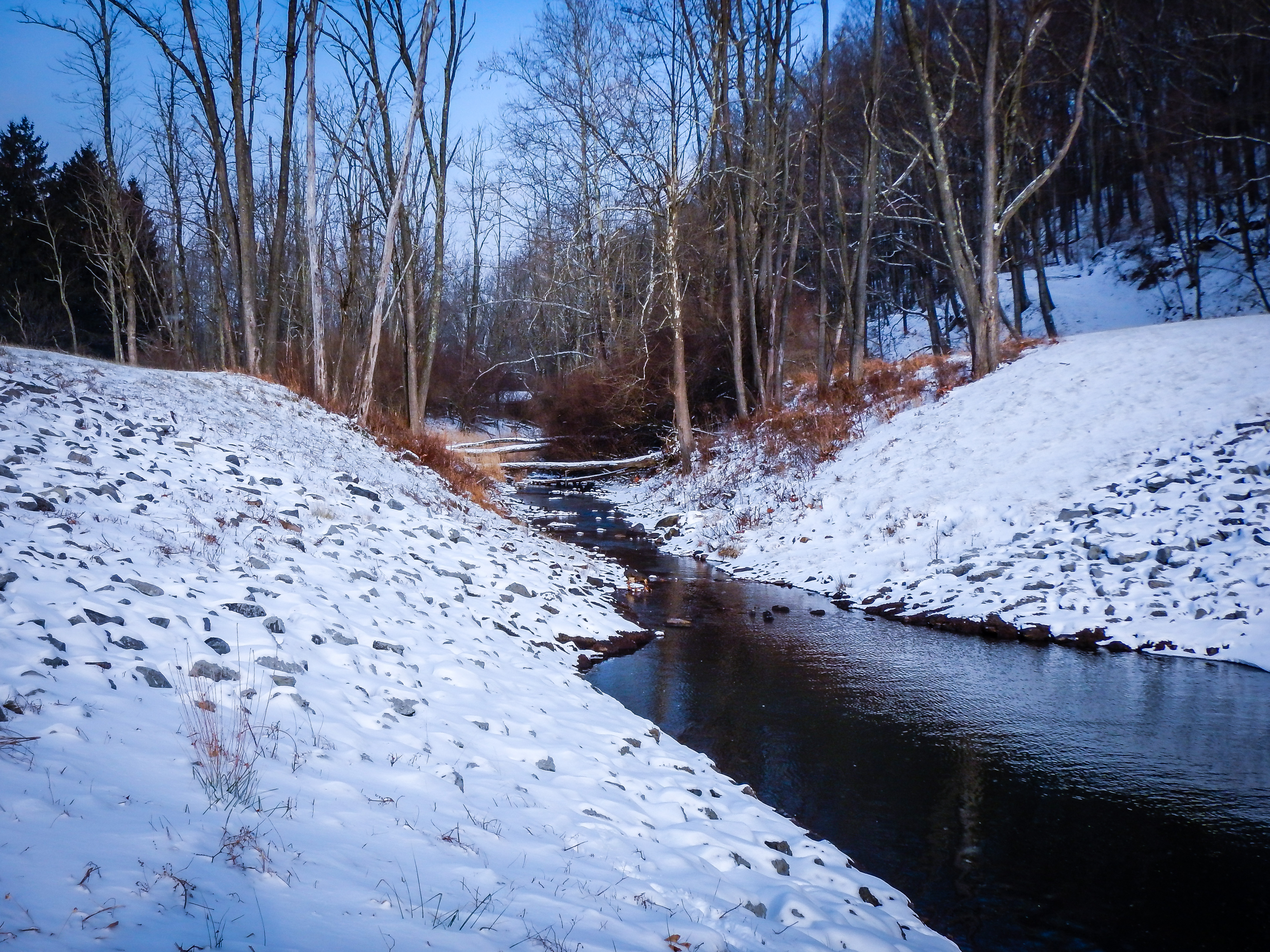
West Virginia Winter

Allegheny Mountains along US Highway 48 near Mount Storm WV

Greenland Gap Rocks

Mountains in the Morning Fog

Northern Branch Potomac River

Allegheny Mountains along US Highway 48 - Bismarck WV

Jesus deliver me from Government Interference

The Soft Light of Evening

Canaan Valley National Wildlife Refuge

Rural Megawatts

A Cut for a Corridor

Corridor H Construction near Bismarck, WV
Topographic Map of Mt Storm, WV, USA
Find elevation by address:

Places near Mt Storm, WV, USA:
Bismarck Road
Bismarck Road
Mount Storm
130 Wycroff Run Rd
56 White Church Steyer Rd, Oakland, MD, USA
Mount Storm Lake
8190 George Washington Hwy
Potomac Ave, Mt Storm, WV, USA
White Church Steyer Rd, Oakland, MD, USA
3683 White Church Steyer Rd
2658 Steyer Mine Rd
Union
708 County Rte 42/3
708 County Rte 42/3
Elk Garden, WV, USA
340 Lady Slipper Ln
High Valley Way
3388 George Washington Hwy
Davis
Maysville
Recent Searches:
- Elevation of N, Mt Pleasant, UT, USA
- Elevation of 6 Rue Jules Ferry, Beausoleil, France
- Elevation of Sattva Horizon, 4JC6+G9P, Vinayak Nagar, Kattigenahalli, Bengaluru, Karnataka, India
- Elevation of Great Brook Sports, Gold Star Hwy, Groton, CT, USA
- Elevation of 10 Mountain Laurels Dr, Nashua, NH, USA
- Elevation of 16 Gilboa Ln, Nashua, NH, USA
- Elevation of Laurel Rd, Townsend, TN, USA
- Elevation of 3 Nestling Wood Dr, Long Valley, NJ, USA
- Elevation of Ilungu, Tanzania
- Elevation of Yellow Springs Road, Yellow Springs Rd, Chester Springs, PA, USA