Elevation of George Washington Hwy, Oakland, MD, USA

Location: United States > Maryland > Garrett County > Oakland >

Longitude: -79.437535

Latitude: 39.295657

Elevation: 835m / 2739feet

Barometric Pressure: 92KPa

Elevation Map:

elevation map of George Washington Hwy, Oakland, MD, USA

Satellite Map:

Satellite map of George Washington Hwy, Oakland, MD, USA

Related Photos:

oakland maryland garrettco downtown porches benches hbm squared iphone topf25
Oakland MD ~ porch benches - HBM!
maryland garrettcounty oakland trainstations bostations oaklandstation historic nrhp queenannedesign warmsunlight summer july2014 july 2014 canon70200l
Evening Behind the Station
owl snowyowl
Snowy Owl
owl snowyowl
Snowy Owl
laurelfalls waterfall
A Fall View at Laurel Falls
hoyecrest maryland garrettco mountains scenicvista clouds highestpointinmd branches iphone cmwd
Hoye-Crest ~ Highest point in Maryland
hoyecrest maryland garrettco mountains clouds scenicvista highestpointinmd iphone
Hoye-Crest ~ Highest point in Maryland
winter panorama nature landscape scenery wv orientation hdr photomatix hdrextremes photospecs panoedit pentaxk52s
West from 219
View to the south from Backbone Mt.
terraalta wv unitedstates panoramic view guys farm terra alta us usa west virginia wva preston county barn barns pano panorama
Panoramic view of Guy's Farm in Terra Alta WV
roman catholic church religion smallest tiny roadside religious alter statue jesus monument horseshoerun silverlake buildings structures preston county westvirginia georgeneat patriotportraits neatroadtrips
Our Lady of the Pines Alter
roman catholic church religion smallest tiny roadside religious alter statue jesus monument horseshoerun silverlake buildings structures preston county westvirginia georgeneat patriotportraits neatroadtrips
Smallest Church Monument
city cemetery oakland town md maryland
View of Oakland from the cemetery
View to the southeast from Hoye-Crest
View to the south from Backbone Mt.
winter sunset red west barn river virginia wv westvirginia cheat redbarn cheatriver
Cheat River III, Sunset
street city railroad bridge train oakland town oak md tracks maryland
View from E. Oak Street railroad bridge
street city oakland town md maryland center third
View down E. Third Street from E. Center Street
street plaza city oakland town md maryland third courthouse
View down S. Third Street from courthouse plaza
View to the west from Hoye-Crest
plaza city oakland town md maryland intersection courthouse
View from courthouse plaza
terraalta wv unitedstates little laurel run pond terra alta us usa west virginia wva landscape paysage water swamp river creek branch stream lake green preston county tree trees woods forest
Little Laurel Run Pond - Terra Alta WV
terraalta wv unitedstates panorama landscape guys farm terra alta us usa west virginia wva paysage preston county pano panoramic vista tree trees woods forest mountain range hill hillside field fields
Panorama landscape of Guy's Farm in Terra Alta WV
garrett oakland bo train station museum railroad old historical history buildings structures scenic landscapes maryland georgeneat patriotportraits neatroadtrips
Oakland B&O Station
iron maryland historic coal sulfur hdr highdynamicrange garrettcounty borehole acidminedrainage drillhole undergroundmine heavymetals canont1i kemptonminecomplex upperfreeport
Acid Mine Drainage - Kempton Mine Complex Borehole
abandoned water dead death stream iron decay maryland amd historic mining forgotten pollution coal rotten sulfur acidic hdr highdynamicrange garrettcounty westernmaryland stink lifeless kempton acidminedrainage laurelrun canont1i
Acid Mine Drainage Wetland
terraalta wv unitedstates little laurel run pond terra alta us usa west virginia wva landscape paysage water swamp river creek branch stream lake green preston county tree trees woods forest
Little Laurel Run Pond - Terra Alta WV
abandoned acdc electric ruins power decay maryland forgotten coal powerstation hdr highdynamicrange garrettcounty westernmaryland kempton canont1i kemptonminecomplex upperfreeport
Kempton Mine Complex Power Station Ruins
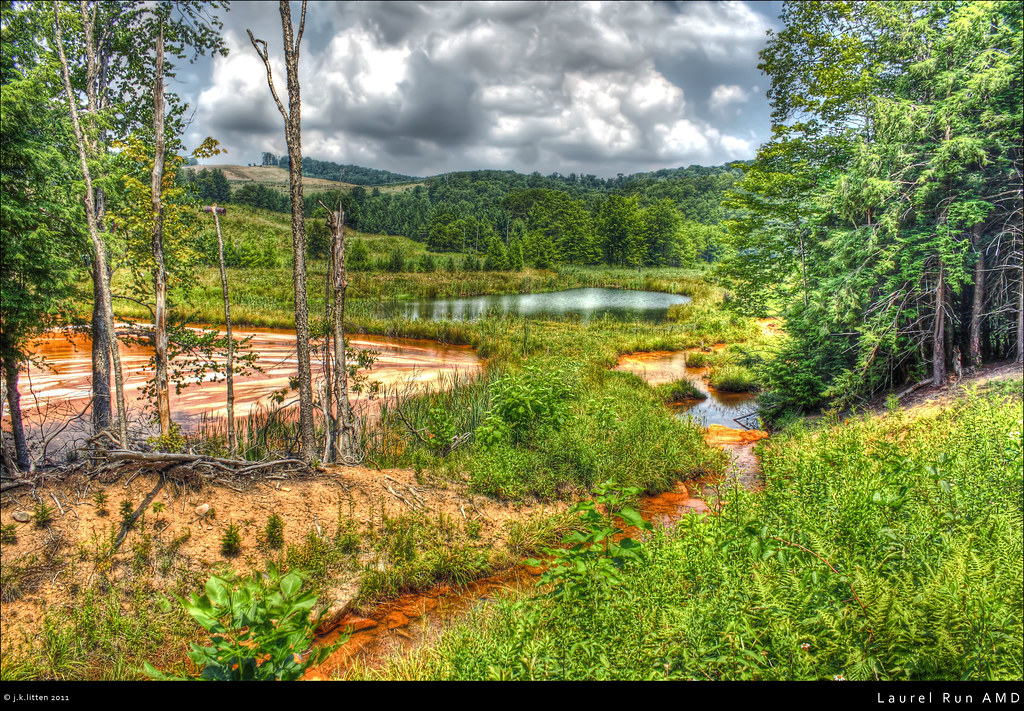
nature grass pine landscape scenery iron maryland amd pollution swamp environment marsh ferns coal sulfur hdr highdynamicrange wetland garrettcounty wasteland westernmaryland reclaimed deadtrees headwaters kempton photomatix acidminedrainage heavymetals laurelrun canonti1 kemptonminecomplex
Laurel Run AMD
westvirginia nikond300 rtomsizemoreiiimd
West Virginia in the Fall
md maryland georgeneat patriotportraits neatroadtrips landscapes scenic roadside attractions rocket trailer oakland amusement ride entertainment
Roadside Rocket on a Trailer
trees mountains westvirginia stateparks westvirginiahistory prestoncountywv
Cathedral State Park WV: Preston County
blackandwhite bw mountains industry windmill field barn rural fence landscape wire scenery energy post cloudy farm country maryland silo infrastructure crops grayscale agriculture hdr highdynamicrange windturbine garrettcounty greyscale westernmaryland kempton megawatts kemptonroad canont1i
Rural Megawatts
terraalta wv unitedstates landscape guys farm terra alta us usa west virginia wva paysage preston county pano panorama panoramic vista tree trees woods forest mountain range hill hillside arch fields field
Landscape on Guy's Farm in Terra Alta WV
locomotive bo ge csx csxt gevo dieselelectric generalelectricdiesellocomotive mountainsub q317
Q317-19
steam locomotive bo railroad oakland garrett county md maryland display museum train blackwhite bw historical scenic landscapes transportation georgeneat patriotportraits neatroadtrips
B&O 476 Oakland, MD
train landscape md victorian scenic maryland trainstation oaklandmaryland westernmaryland landscapephotograph victoriantrainstation
Oakland MD Victorian Train Station
westvirginia tucker preston grant fairfaxstone marker historicalmarker
The Fairfax Stone