Elevation of Wheelock, VT, USA

Location: United States > Vermont > Caledonia County >

Longitude: -72.088507

Latitude: 44.5882056

Elevation: 244m / 801feet

Barometric Pressure: 98KPa

Elevation Map:

elevation map of Wheelock, VT, USA
Satellite Map:

Satellite map of Wheelock, VT, USA

Related Photos:

2020 burke burkemountain canon canon5dmarkiv canonef70200mmf28lisiiusm darlinghillroad davetrono eastburke inn innatmountainview newengland northeastkingdom vt vermont barn countryinn crosscountryskiing farm geotagged landscape red redbarn resort rural ski skiing snow trail tree weddings winter unitedstates
Skiing in Vermont
vermont unitedstates tours burke lyndonville innatmountainviewfarms billfortney
The Back Barn
newengland glacial vermont willoughby lake view
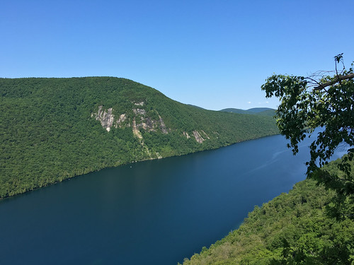
Lake Willoughby, Vermont
vermont unitedstates tours burke lyndonville innatmountainviewfarms billfortney
Looking Out the Barn Window
bandstandparklyndonvillevermont bandstandpark lyndonvillevermont vermont nek northeastkingdom thekingdom newengland us unitedstatesofamerica longexposure longexposurephotography park urbanbeauty lyndonville darksky night snow winter lighttrail community caledonia caledoniacounty
Gazebo views
the valley view family restaurant and tavern lyndon honda audi vt vermont usa america amerika
Family Restaurant
vacation2016fall sonyalpha7rilce7ra7r flickr coveredbridge sony0mmf00
Sanborn Bridge II
Kingdom Trails, Vermont - Mountain Biking
View from AirBnB Room
mountainbiking
View from the chapel
View from North Danville
winter usa snow beer vermont hill brewery farmstead glassofbeer craftbeer hillfarmsteadbrewery hillfarmstead
Enjoying the beer at Hill Farmstead
caledoniacounty vermont usa
View From Our Deck
cheese vermont greensboro acs jasperhill jasperhillfarm
View of the new cave site
cheese vermont acs jasperhill
View from the front yard
chamberlinmillcoveredbridge lyndon vermont caledoniacounty usa coveredbridge southwheelockbranch
View From the Chamberlin Mill Covered Bridge
Lake view
Lake view
Lake view
chamberlinmillcoveredbridge lyndon vermont caledoniacounty usa coveredbridge southwheelockbranch
View From the Chamberlin Mill Covered Bridge
fall barn vermont bluesky earlywinter
Mountain View Inn Barn
autumn nikon vermont newengland foliage passumpsicriver d800e
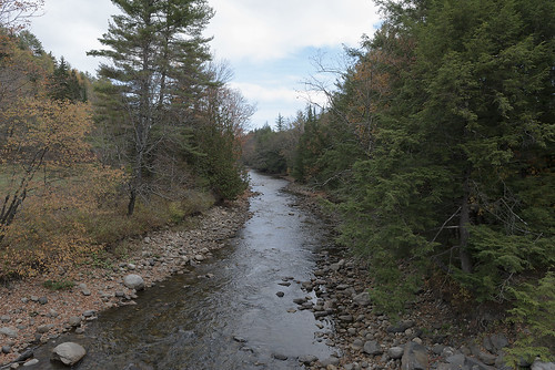
The East Branch of the Passumpsic River
autumn fall fog landscape vermont unitedstates newengland foliage lyndon lyndonville puddinghillrd
Morning Fog
winter sunset red barn landscape us vermont unitedstates greensboro northeastkingdom nek
Vermont Red Barn Sunset
square sierra squareformat iphoneography instagramapp uploaded:by=instagram
these three.
mtpisgah vermont northeastkingdom hiking westmore unitedstates us
Mt. Pisgah
hiking northeastkingdom lakewilloughby vermont mtpisgah sheffield unitedstates us
Mt. Pisgah
hiking northeastkingdom lakewilloughby mthor vermont westmore unitedstates us
Mt. Hor
sky water pond vermont unitedstates overcast places northamerica lyndonville chandlerpond smcpda55300mmf458ed pentaxk5 chandlerpondfarm
Chandler Pond
sky vermont unitedstates places northamerica partlycloudy lyndonville smcpda55300mmf458ed pentaxk5 chandlerpondfarm
Chandler Pond Farm
oneaday vermont photoaday roadsideattraction oddity pictureaday project365 project365263 ruralvermont museumofeverydaylife
Museum of Everyday Life (Project 365: 263/365)
vt vermont us usa cemetery cimetière unitedstates newengland étatsunis licensed exclusive getty
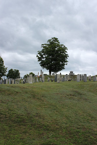
Westlook Cemetery
bread vermont puppet
picket fence people
A long road
autumn caledoniacounty fall northamerica pentaxk5 places season sutton unitedstates vermont smcpda60250mmf4edifsdm
Foggy morning in Sutton
bread vermont puppet
mother earth
trees color tree fall beer colors car vermont hill hills event vt farmstead
Hill Farmstead 09
fall vermont
Cross country trail
Lyndon, Vermont