Elevation of Sutton Rd, Sheffield, VT, USA
Location: United States > Vermont > Caledonia County > Sheffield >
Longitude: -72.071991
Latitude: 44.590572
Elevation: 347m / 1138feet
Barometric Pressure: 97KPa
Elevation Map:
Satellite Map:
Related Photos:
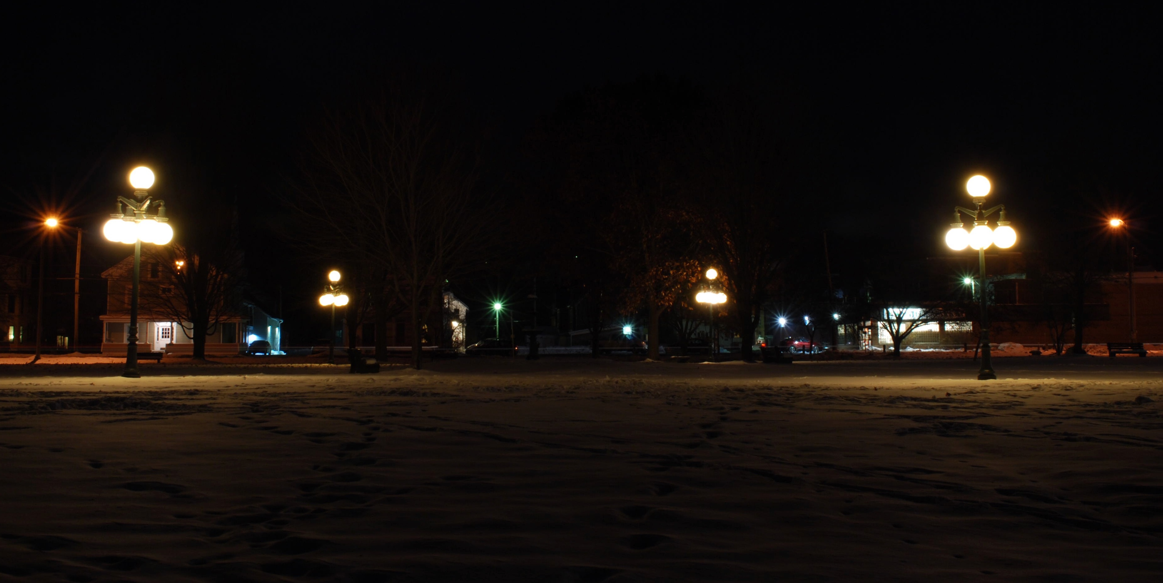
Gazebo views
View of the new cave site
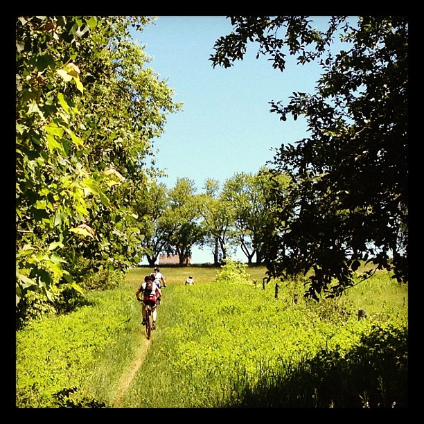
Riding the trails

Looking Out the Barn Window

Mountain View Inn Barn
View from the chapel

Kingdom Trails, Vermont - Mountain Biking
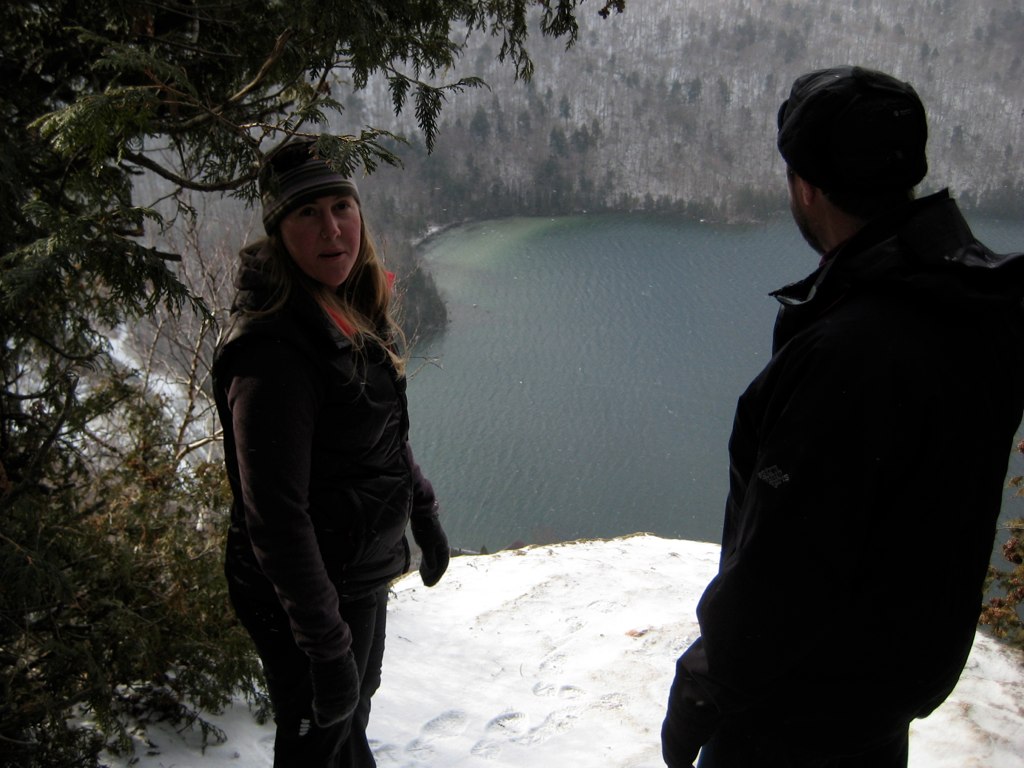
Lake view

Lake view
View from the front yard

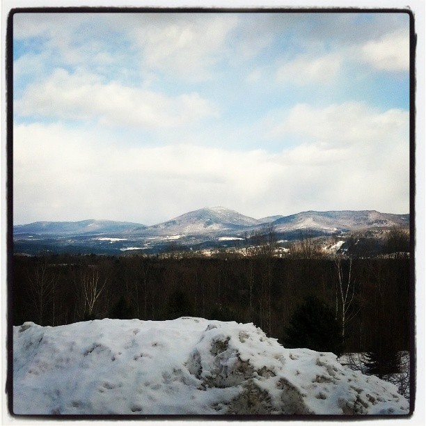
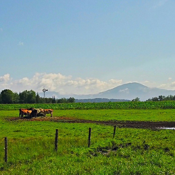
View from North Danville
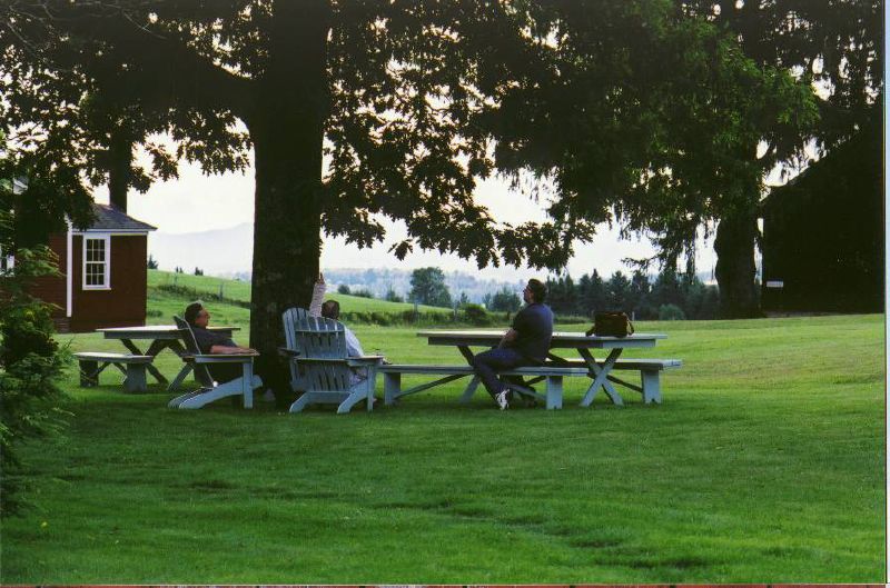
the view relaxing
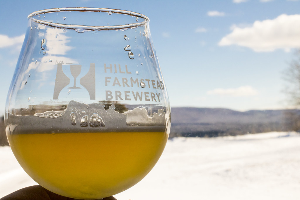
Enjoying the beer at Hill Farmstead
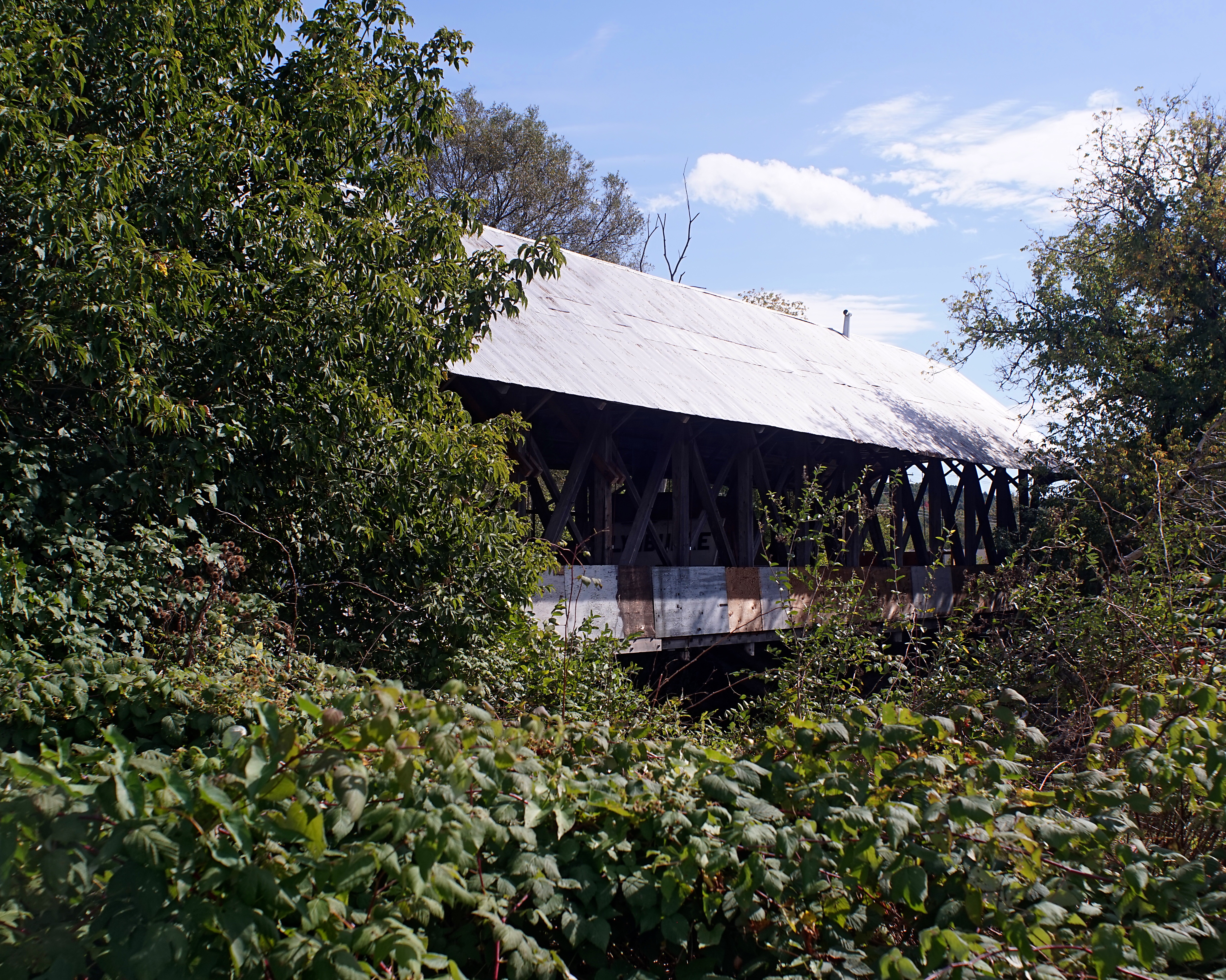
Sanborn Bridge II

The Back Barn

Morning Fog

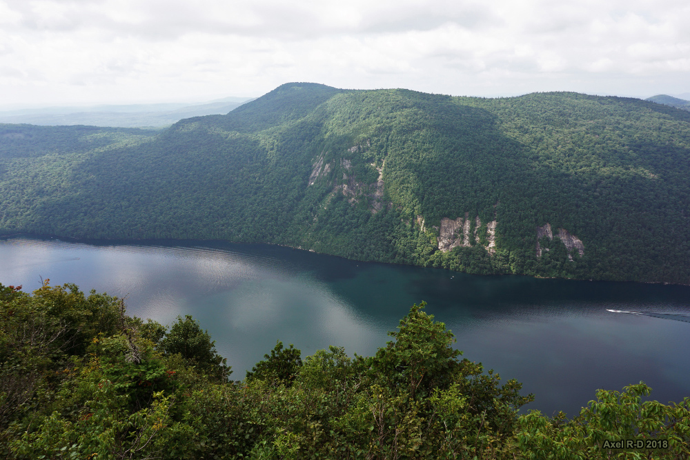
Lake Willoughby, VT
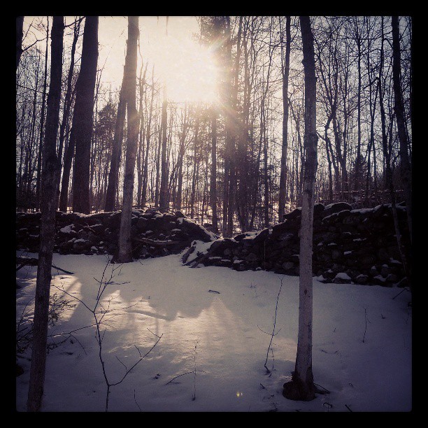
In the frosty highlands

these three.
Wall, unmended
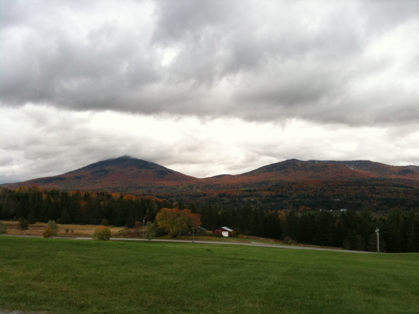
Mt Pisgah Hike
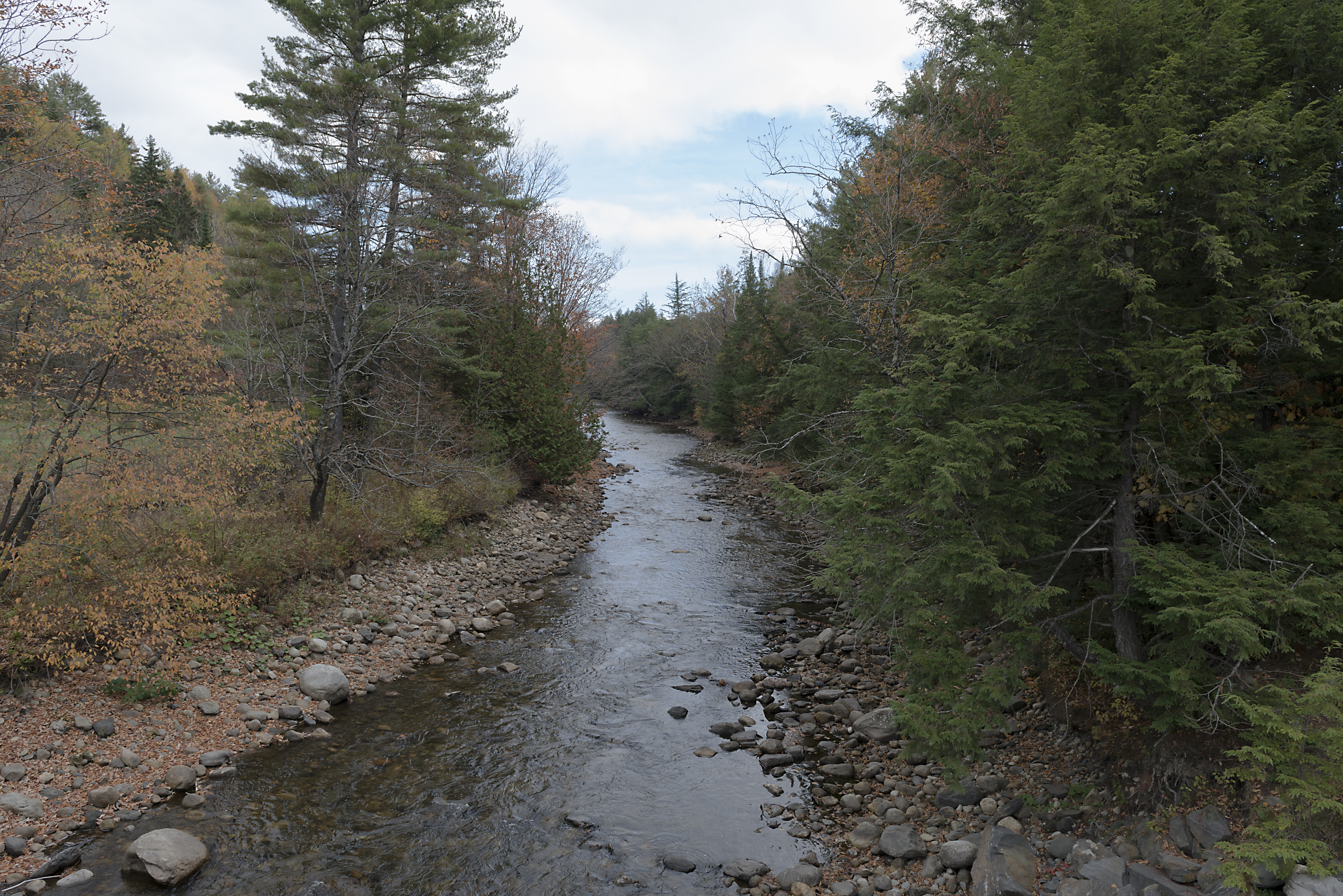
The East Branch of the Passumpsic River
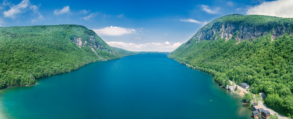
Lake Willoughby by DJI Phantom 4
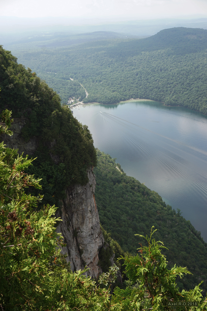
Mt Pisgah Hike
Kingdom idyll
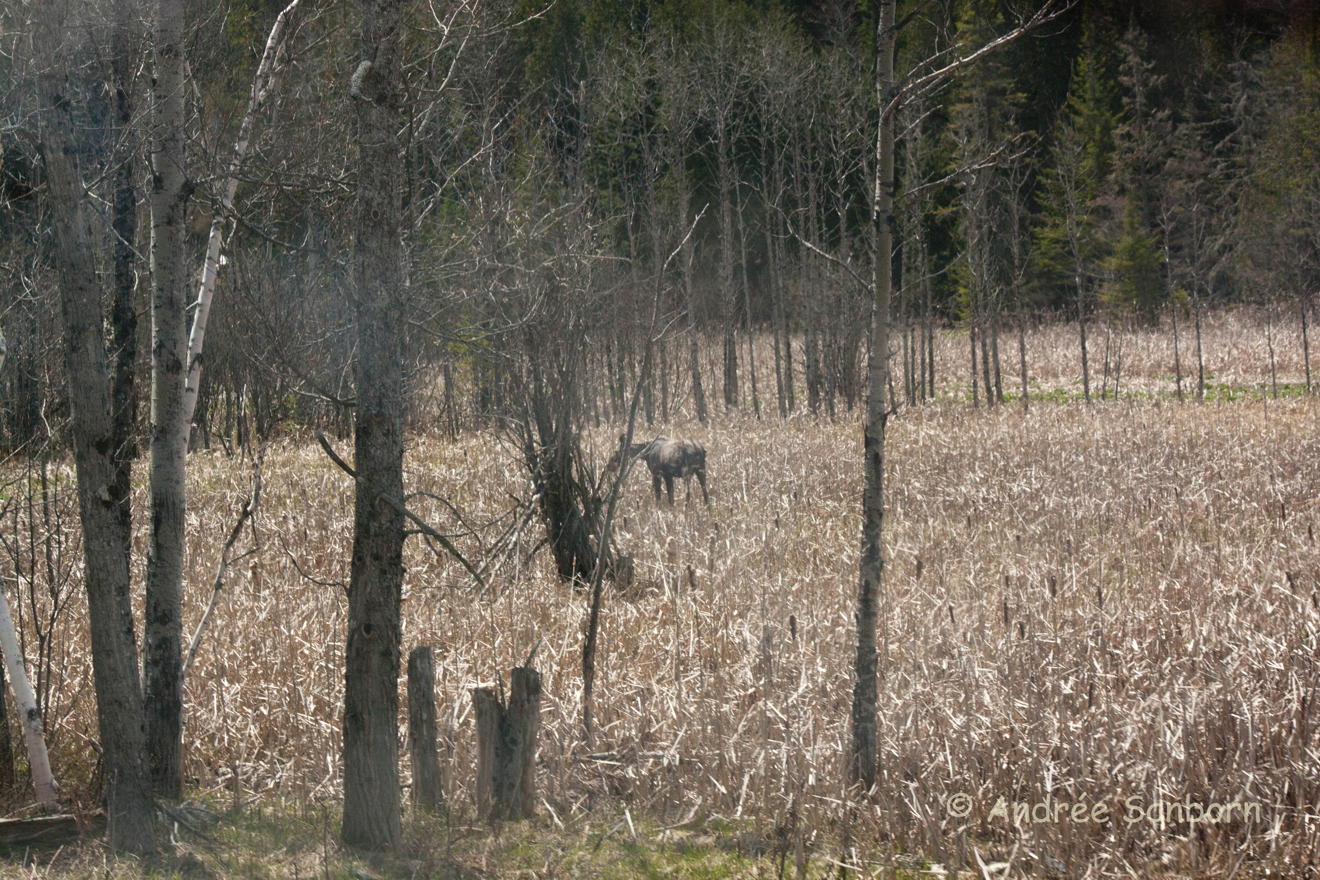
Runaway Pond Moose -3.jpg
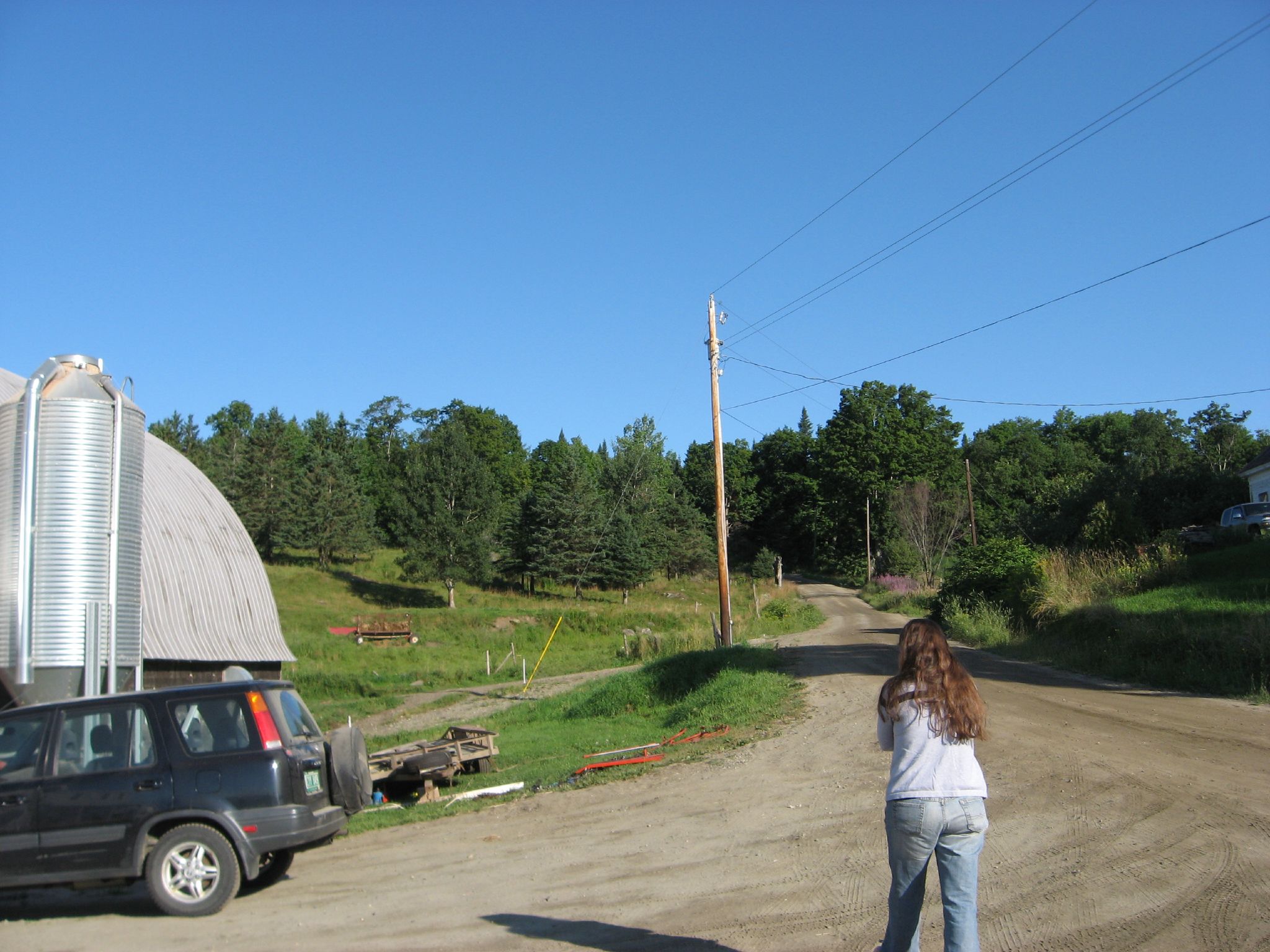
Darling Hill Road
Foggy morning in Sutton
Hill Farmstead 09
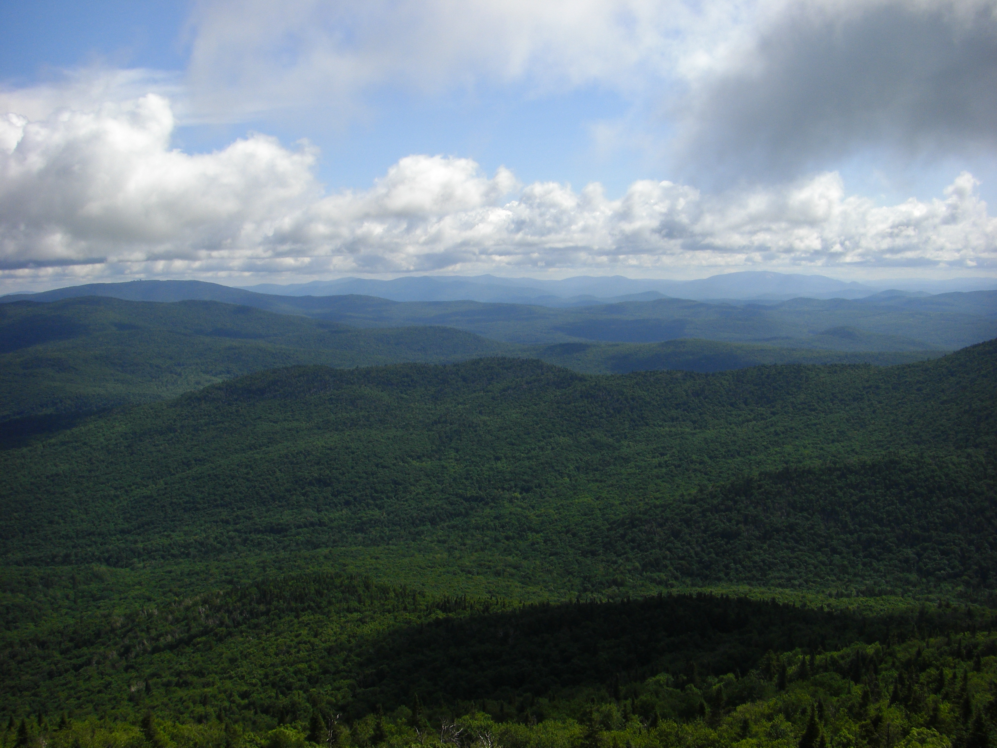
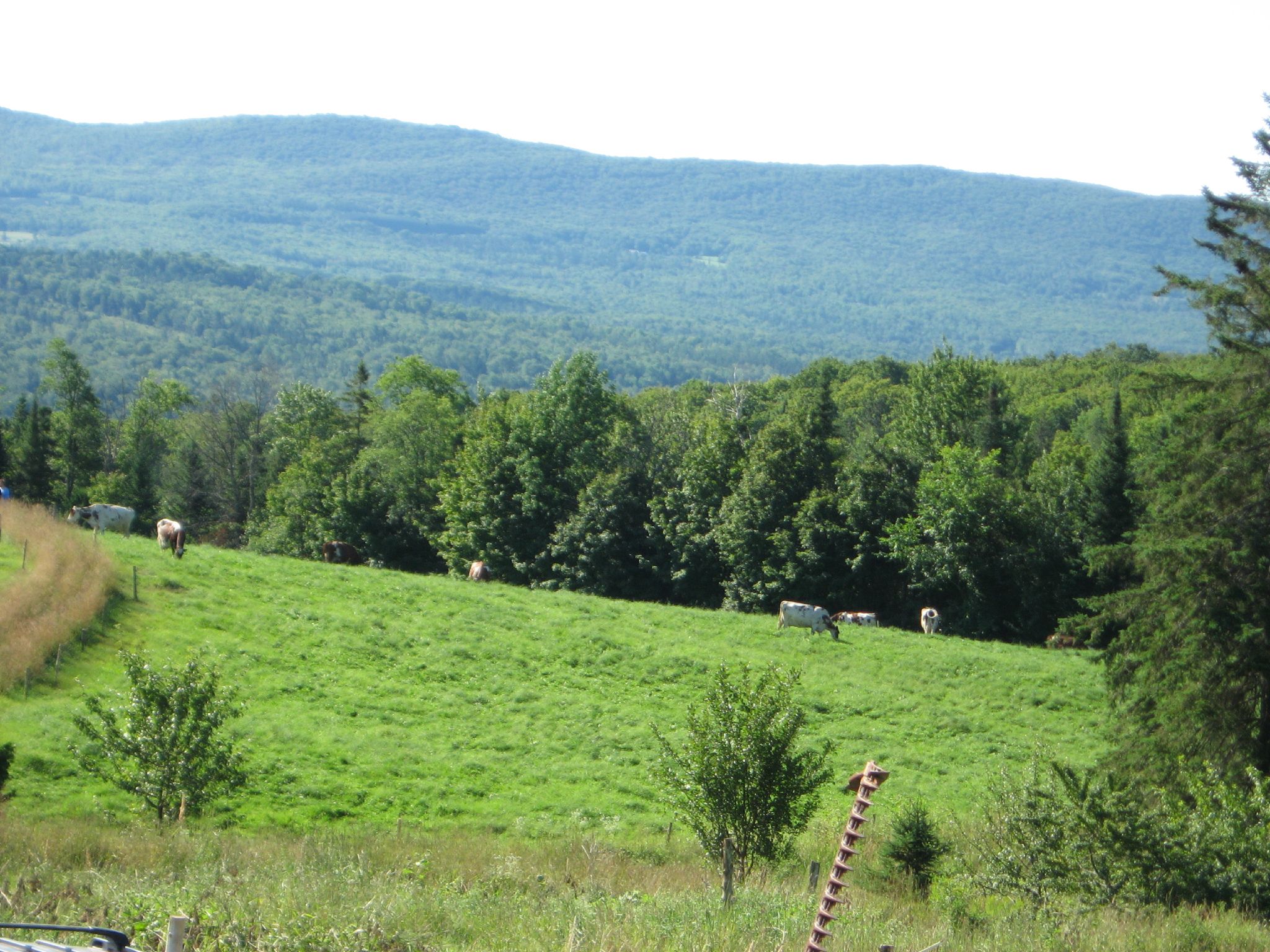
Northeast Kingdom, Vermont
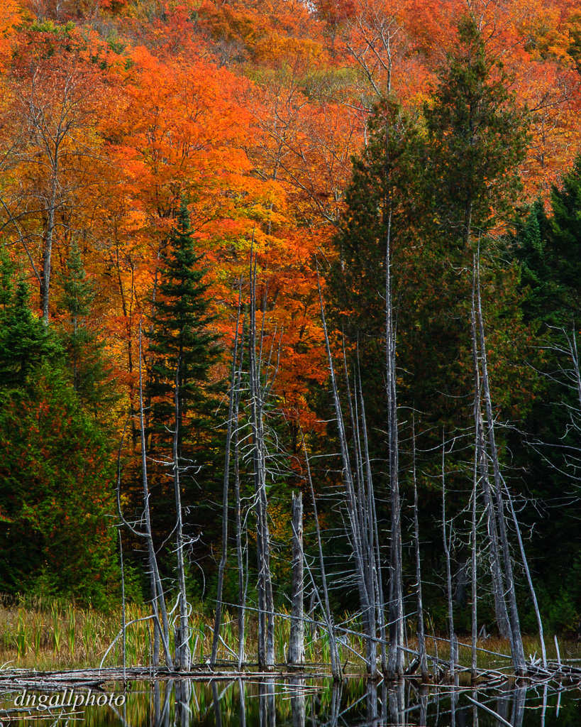
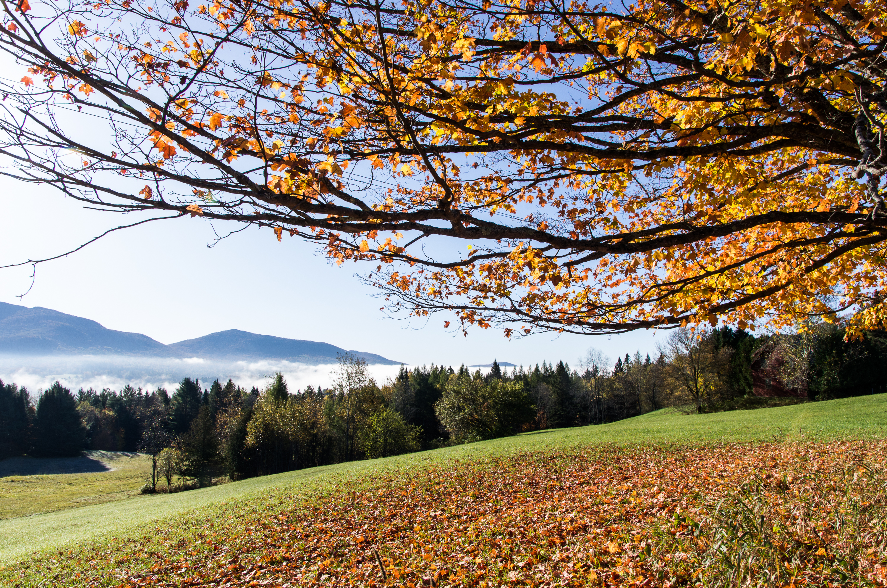
Fall Color
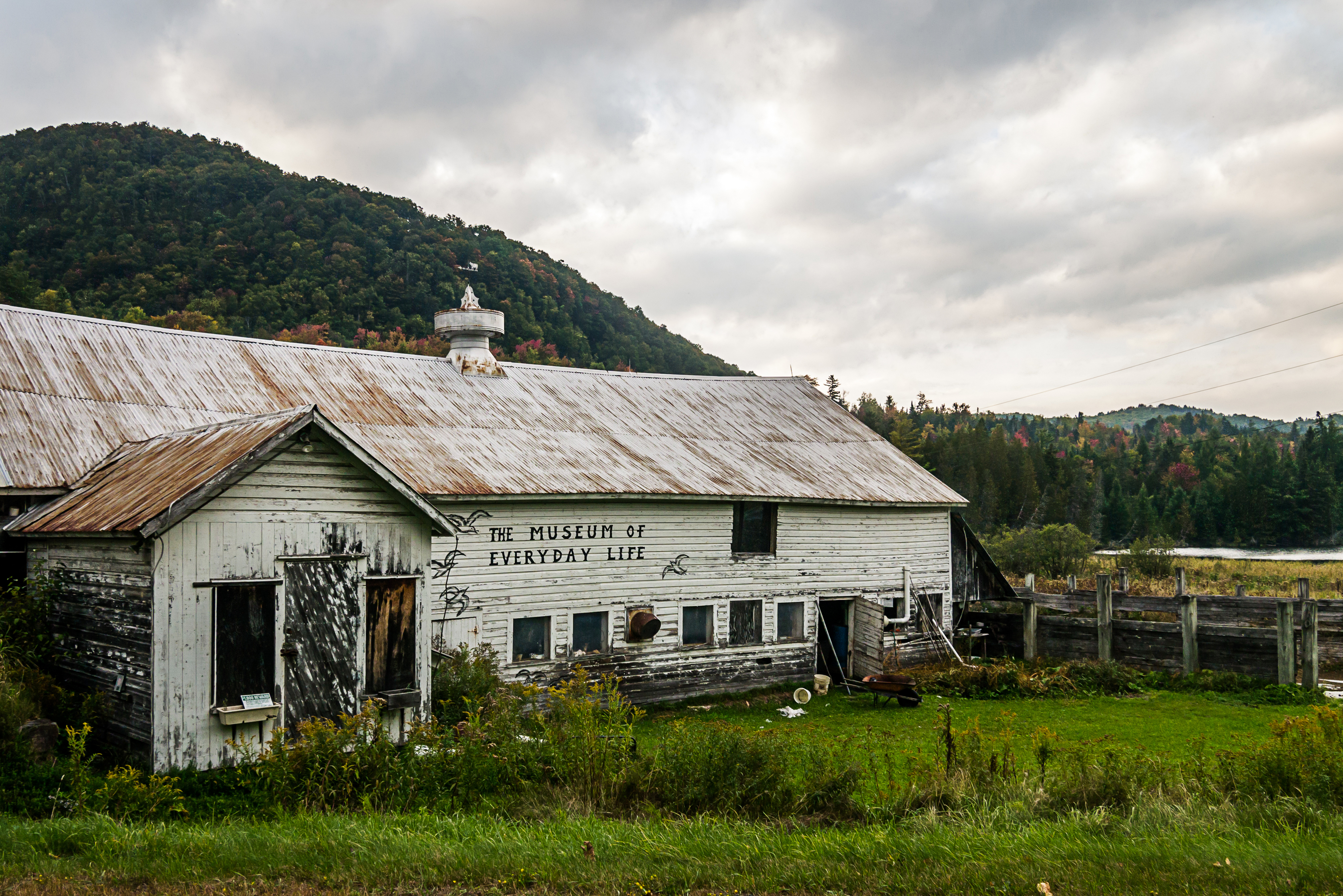
Museum of Everyday Life (Project 365: 263/365)

LakeWilloughby_VT-23
Topographic Map of Sutton Rd, Sheffield, VT, USA
Find elevation by address:

Places near Sutton Rd, Sheffield, VT, USA:
Wheelock
50 Berry Hill Rd
Sheffield
17 Berry Hill Rd, Sheffield, VT, USA
Rainey Rd, Lyndonville, VT, USA
3410 Berry Hill Rd
2368 Keniston Hill Rd
583 Dunn Mountain Rd
772 Quarry Rd
33 Hall Rd
Stannard Mountain Rd, Greensboro Bend, VT, USA
Stannard
3324 Coles Pond Rd
Sparhawk Rd, Greensboro Bend, VT, USA
358 Eastern Ave
Coles Pond
2497 Coles Pond Rd
613 Hunt Ave
403 Hill Rd
Greensboro Bend
Recent Searches:
- Elevation of Rojo Ct, Atascadero, CA, USA
- Elevation of Flagstaff Drive, Flagstaff Dr, North Carolina, USA
- Elevation of Avery Ln, Lakeland, FL, USA
- Elevation of Woolwine, VA, USA
- Elevation of Lumagwas Diversified Farmers Multi-Purpose Cooperative, Lumagwas, Adtuyon, RV32+MH7, Pangantucan, Bukidnon, Philippines
- Elevation of Homestead Ridge, New Braunfels, TX, USA
- Elevation of Orchard Road, Orchard Rd, Marlborough, NY, USA
- Elevation of 12 Hutchinson Woods Dr, Fletcher, NC, USA
- Elevation of Holloway Ave, San Francisco, CA, USA
- Elevation of Norfolk, NY, USA