Elevation of Sheffield, VT, USA
Location: United States > Vermont > Caledonia County >
Longitude: -72.113988
Latitude: 44.6019975
Elevation: 271m / 889feet
Barometric Pressure: 98KPa
Elevation Map:
Satellite Map:
Related Photos:

Looking Out the Barn Window

Mountain View Inn Barn
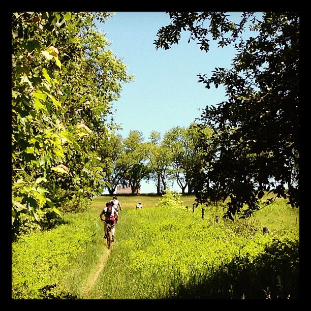
Riding the trails
View from the chapel
Lake view

Lake view

Sevarian Sunset

Lake view
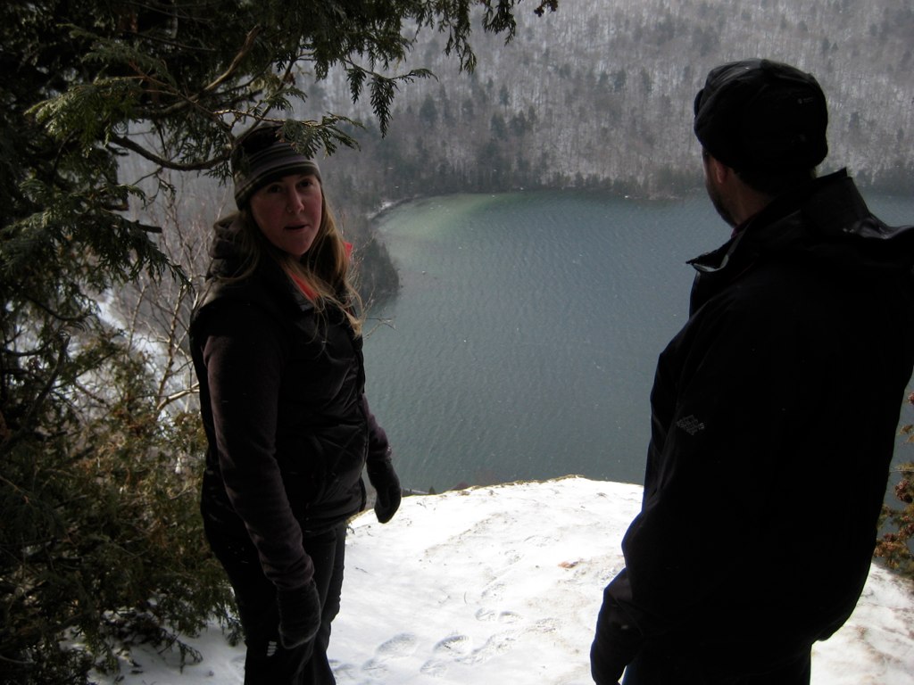
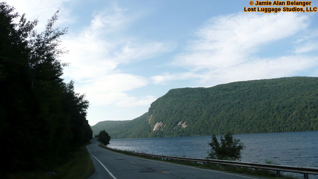
Lake Willoughby
P1080806-LakeWilloughby
View from the front yard
View from the Sewing Room
the view relaxing
View of the new cave site
Enjoying the beer at Hill Farmstead

The Back Barn

Morning Fog
The East Branch of the Passumpsic River
Vermont Night Life
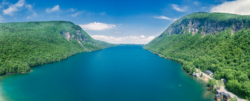
Lake Willoughby by DJI Phantom 4

these three.

309/366: On Willoughby
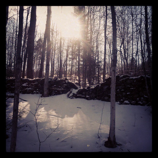
Wall, unmended
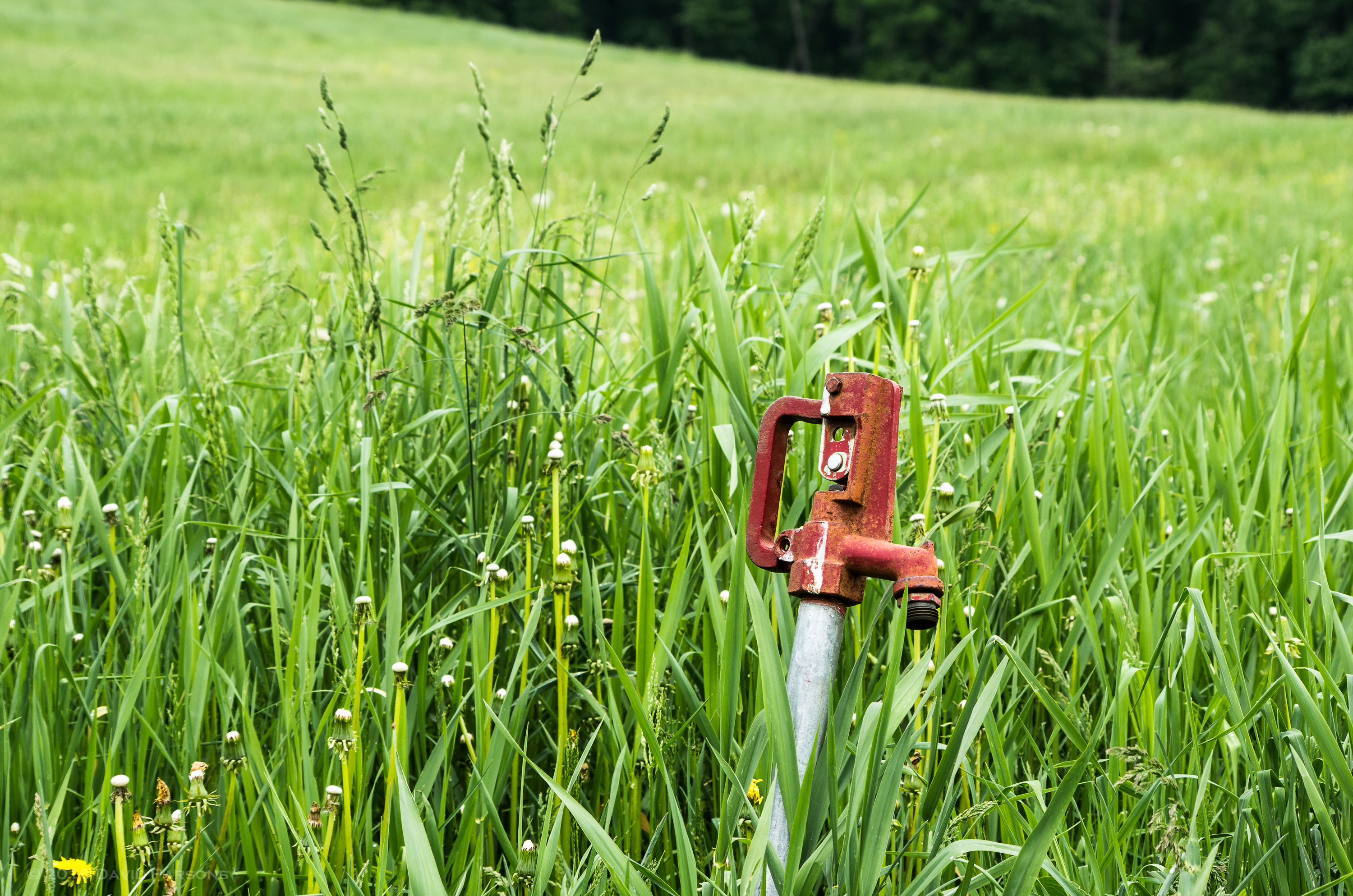
Chandler Pond Farm spigot

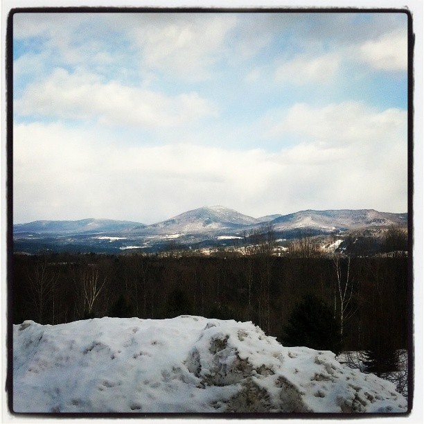
Wheeler Mountain (2013.01.05) 05
In the frosty highlands
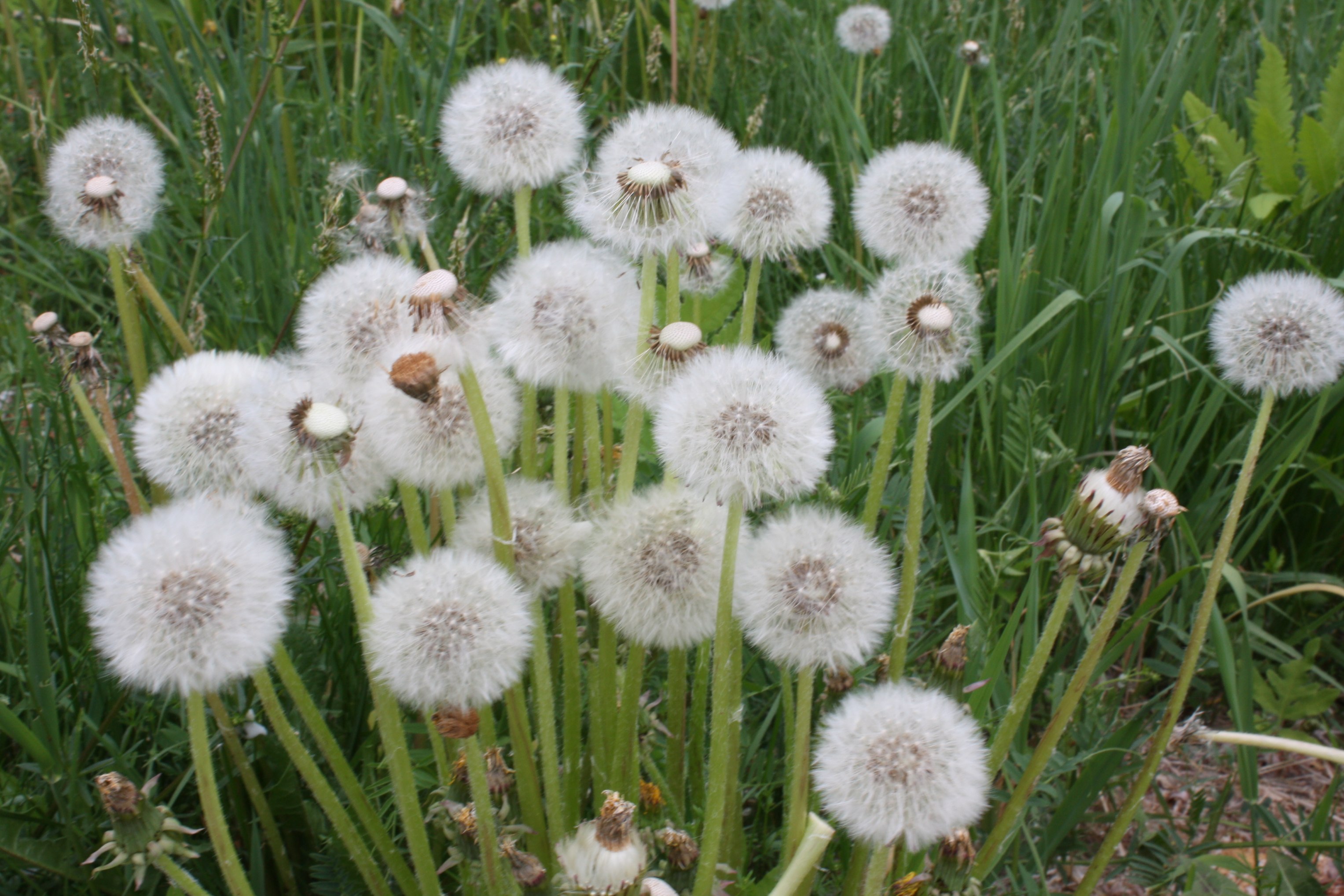
Group of Dandelion Seeds 2
Wheeler Mountain (2013.01.05) 08
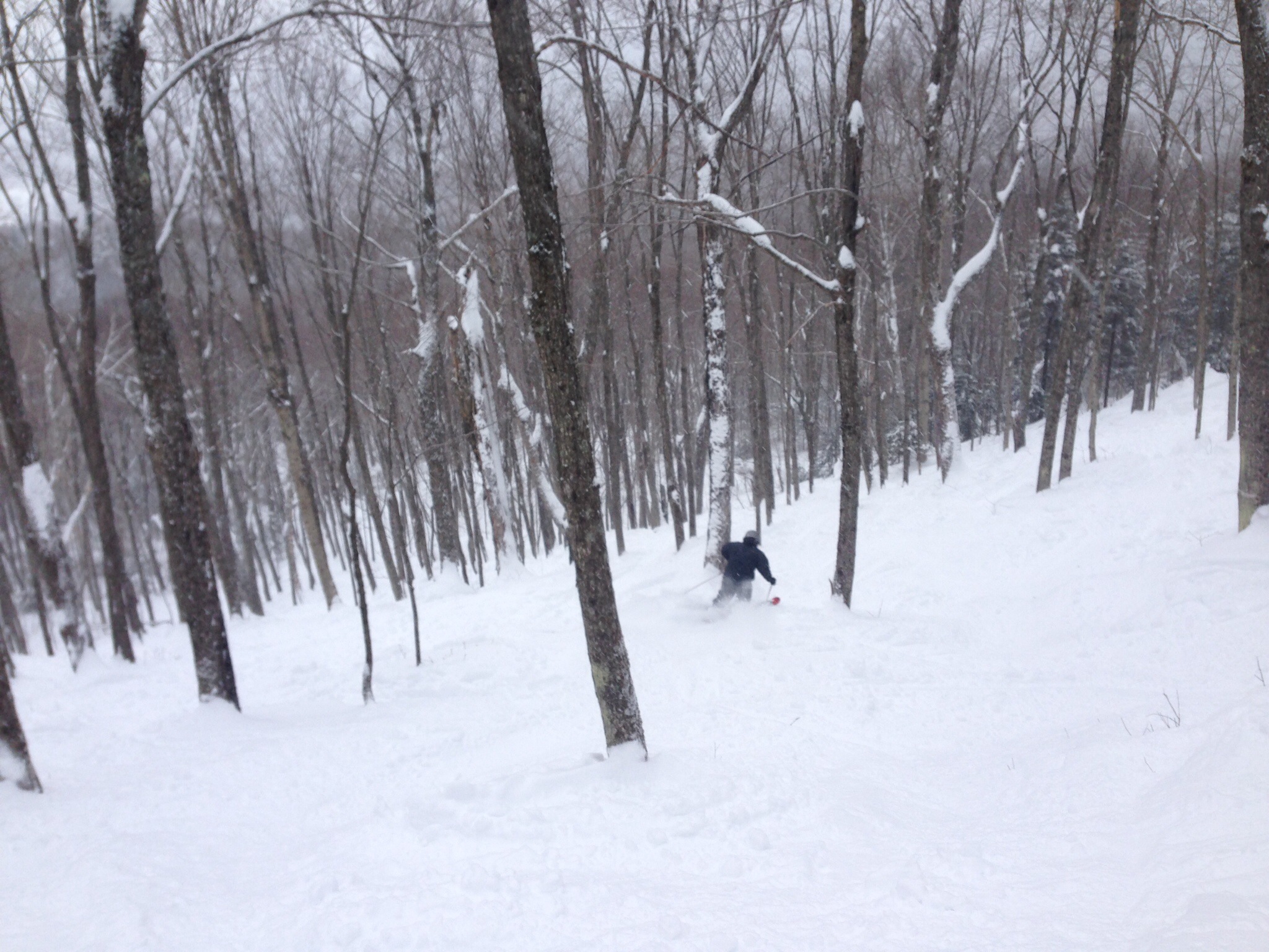
Burke Skiing

LakeWilloughby_VT-23
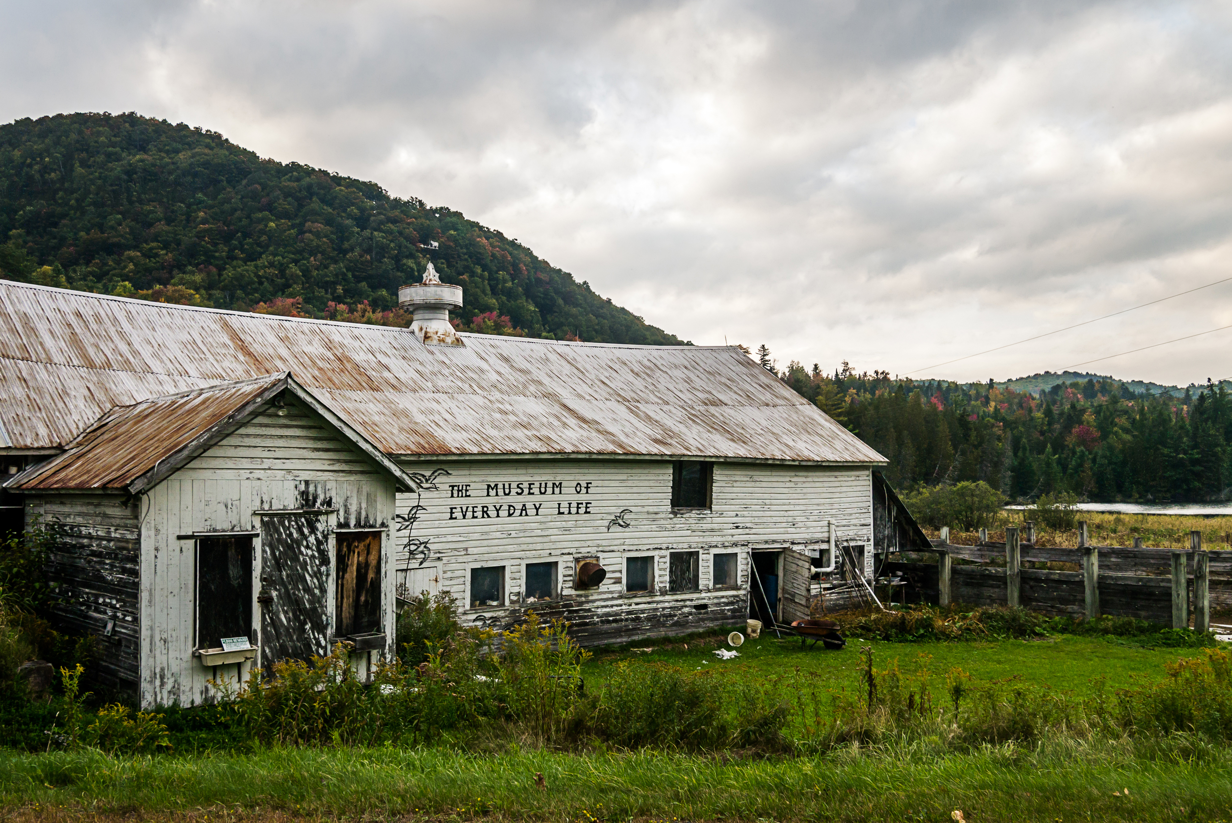
Museum of Everyday Life (Project 365: 263/365)
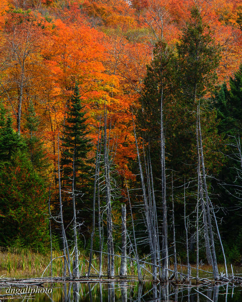
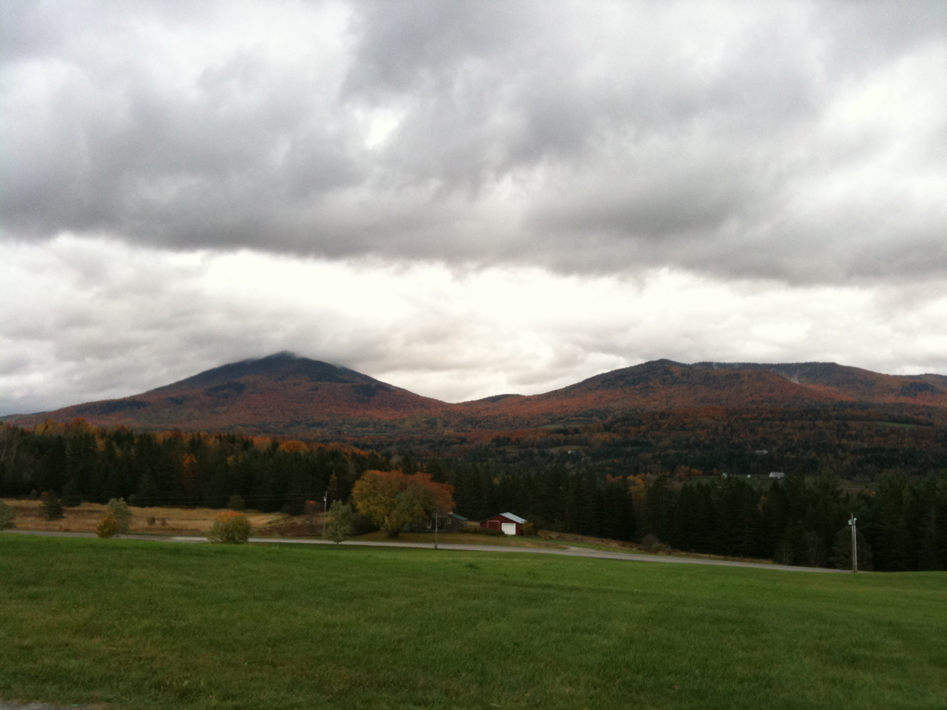
Fall Color

Vermont Red Barn Sunset
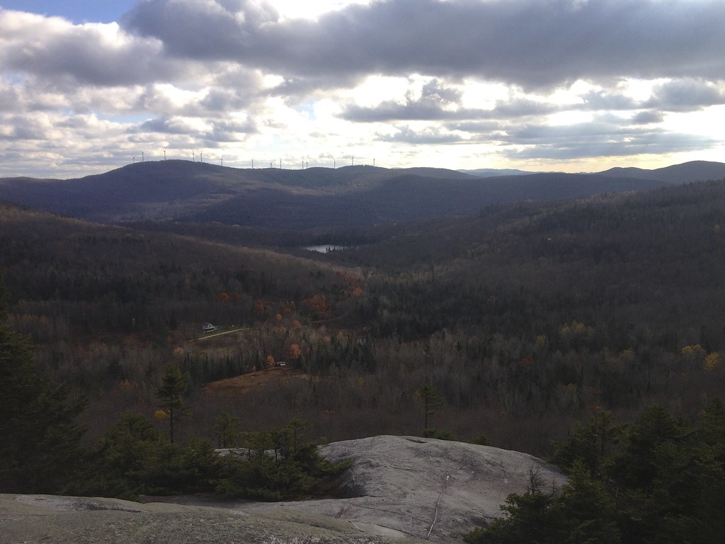
South from Mt Wheeler
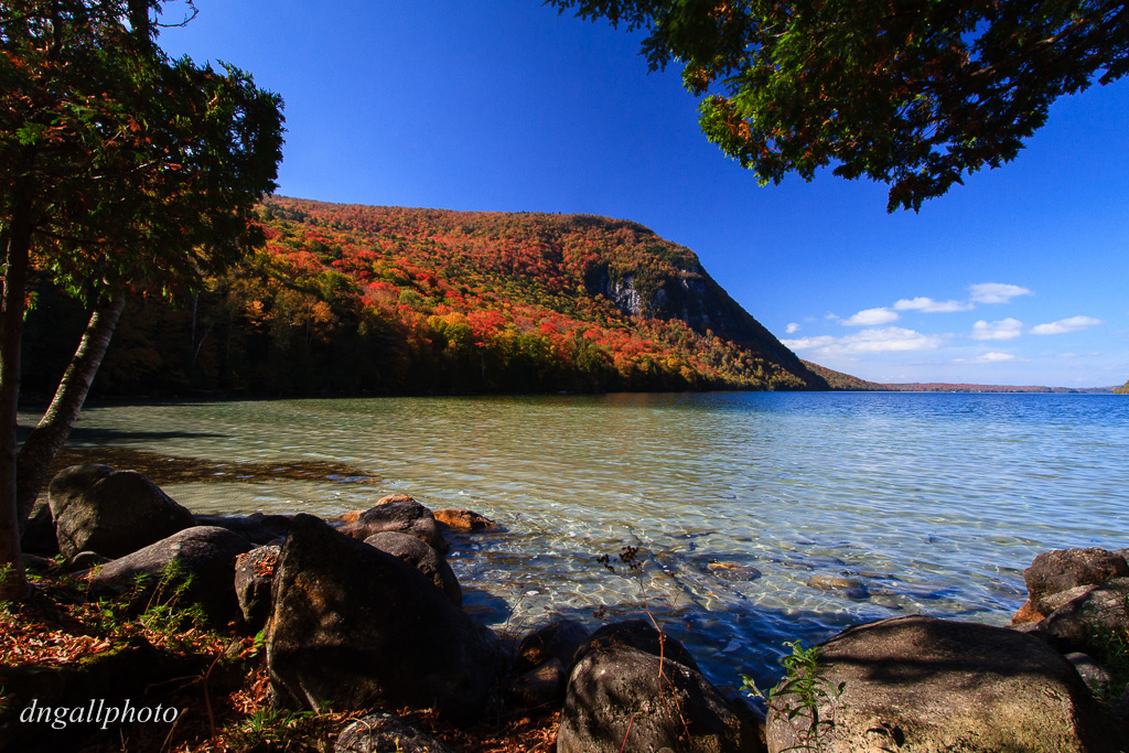
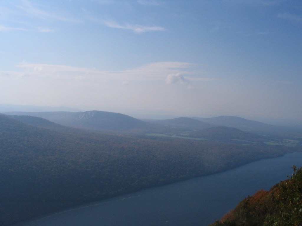
Lake Willoughby Color
Topographic Map of Sheffield, VT, USA
Find elevation by address:

Places in Sheffield, VT, USA:
Places near Sheffield, VT, USA:
17 Berry Hill Rd, Sheffield, VT, USA
50 Berry Hill Rd
Wheelock
Rainey Rd, Lyndonville, VT, USA
651 Sutton Rd
583 Dunn Mountain Rd
2368 Keniston Hill Rd
3410 Berry Hill Rd
772 Quarry Rd
33 Hall Rd
Sparhawk Rd, Greensboro Bend, VT, USA
Stannard Mountain Rd, Greensboro Bend, VT, USA
Stannard
3324 Coles Pond Rd
613 Hunt Ave
358 Eastern Ave
Coles Pond
2497 Coles Pond Rd
403 Hill Rd
Greensboro Bend
Recent Searches:
- Elevation of 62 Abbey St, Marshfield, MA, USA
- Elevation of Fernwood, Bradenton, FL, USA
- Elevation of Felindre, Swansea SA5 7LU, UK
- Elevation of Leyte Industrial Development Estate, Isabel, Leyte, Philippines
- Elevation of W Granada St, Tampa, FL, USA
- Elevation of Pykes Down, Ivybridge PL21 0BY, UK
- Elevation of Jalan Senandin, Lutong, Miri, Sarawak, Malaysia
- Elevation of Bilohirs'k
- Elevation of 30 Oak Lawn Dr, Barkhamsted, CT, USA
- Elevation of Luther Road, Luther Rd, Auburn, CA, USA