Elevation of Coles Pond, Walden, VT, USA
Location: United States > Vermont > Caledonia County > Walden > East Hardwick >
Longitude: -72.214948
Latitude: 44.5089673
Elevation: 667m / 2188feet
Barometric Pressure: 94KPa
Elevation Map:
Satellite Map:
Related Photos:
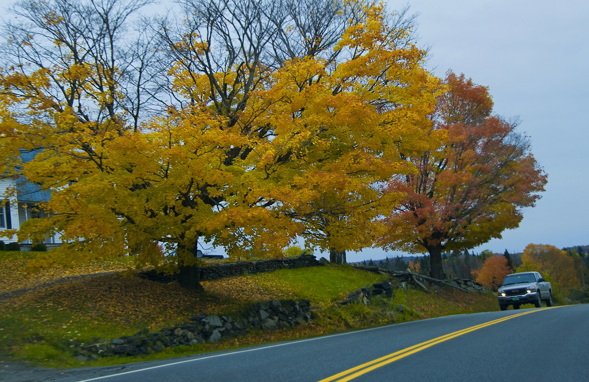
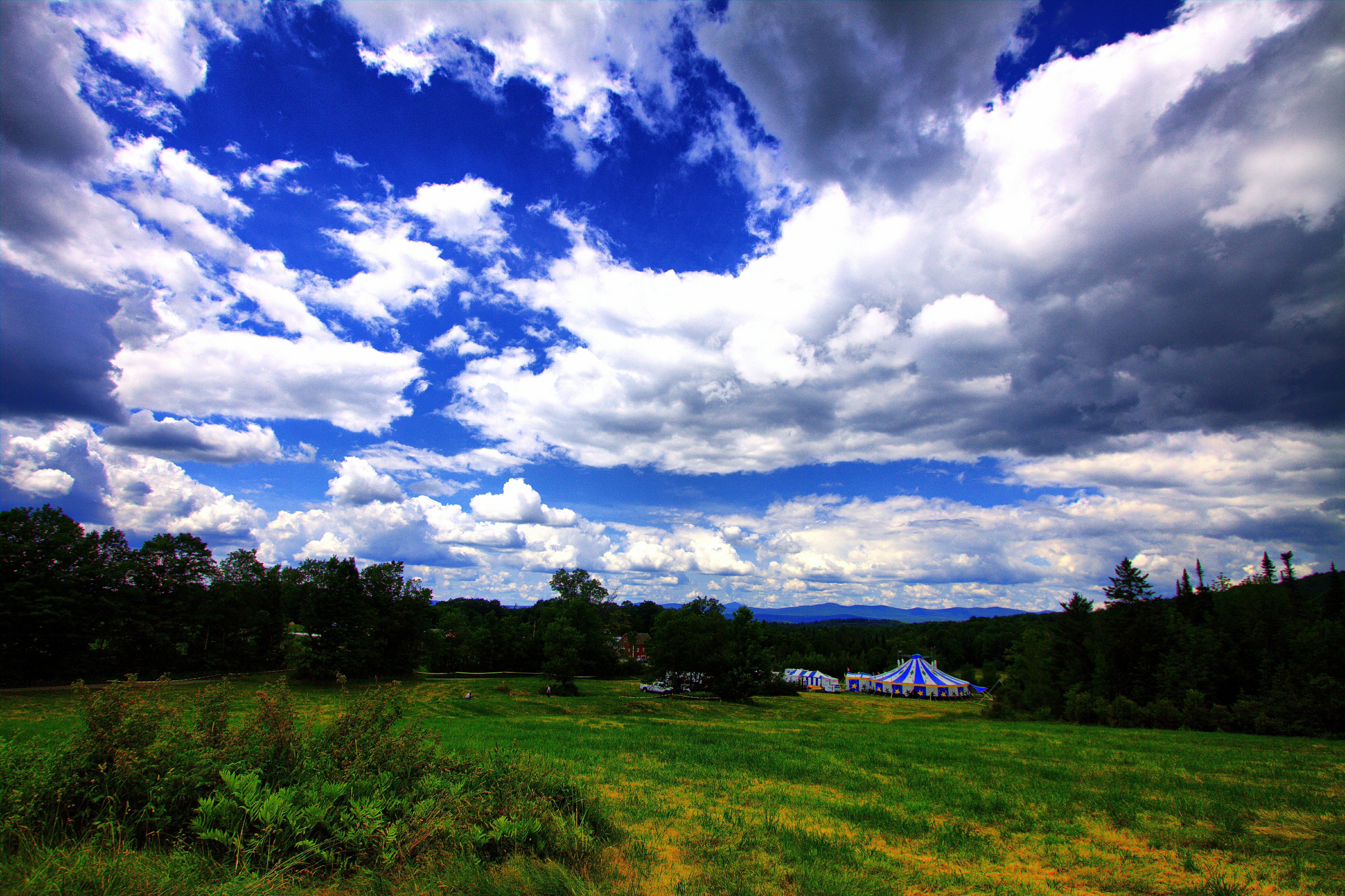
Drive to Stowe - roadside view 1

Drive to Stowe - roadside view 5
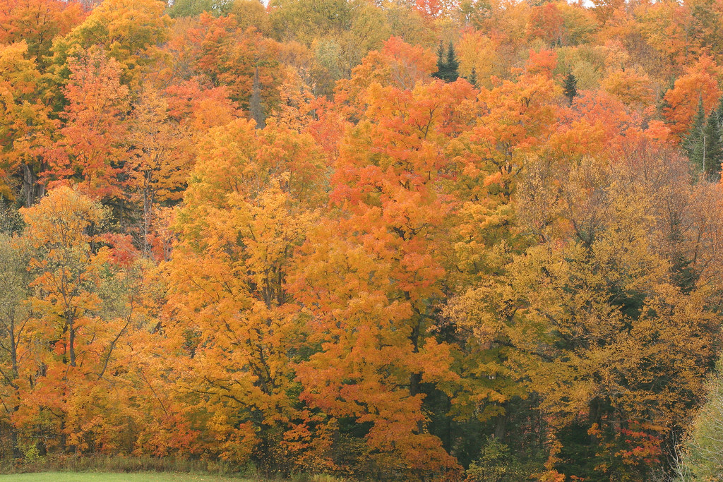
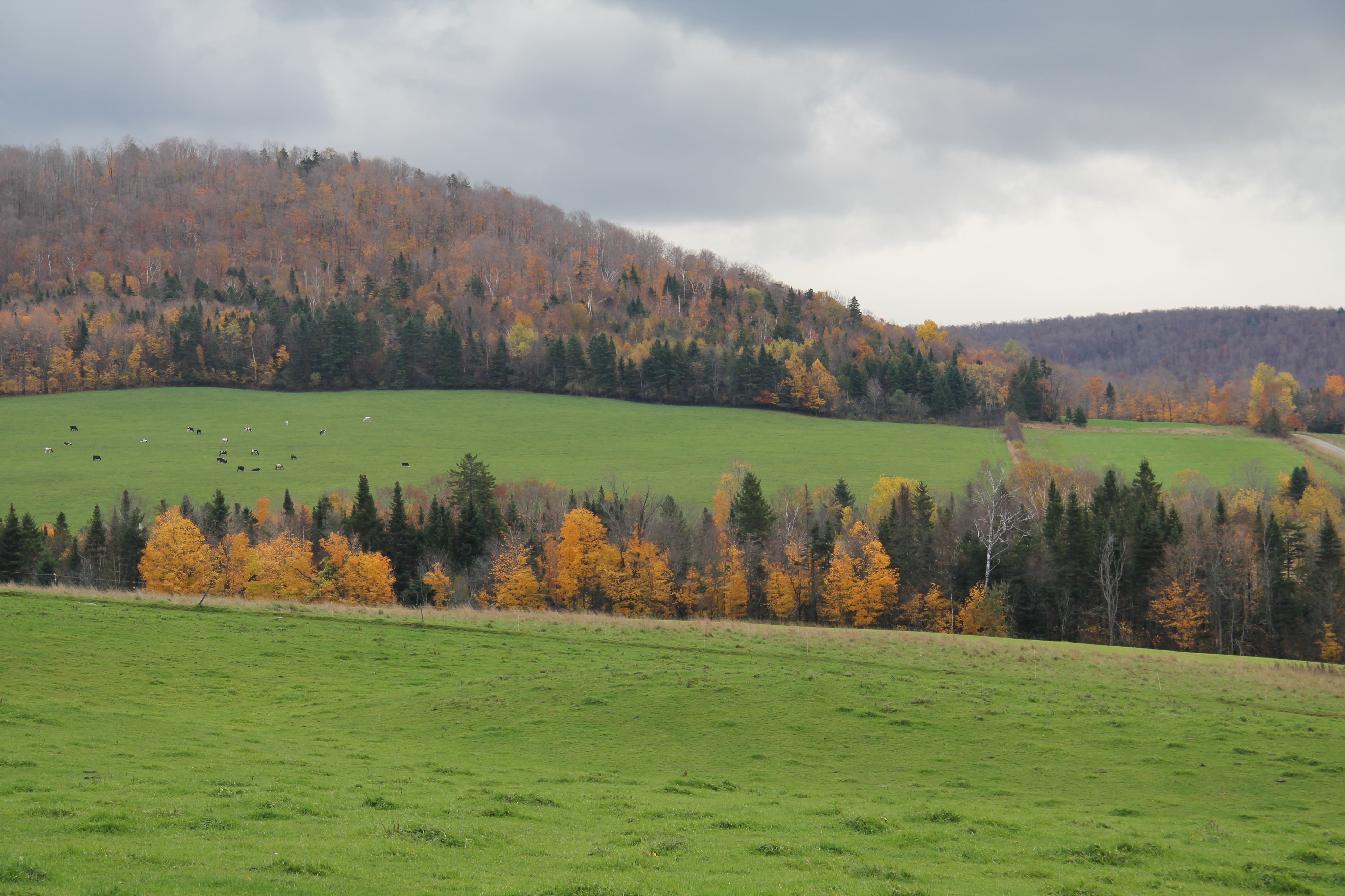
Vermont Fall Foliage 1
Drive to Stowe - roadside view 3

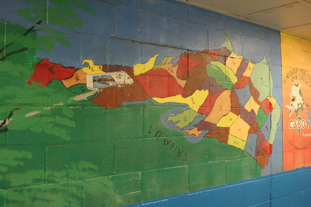
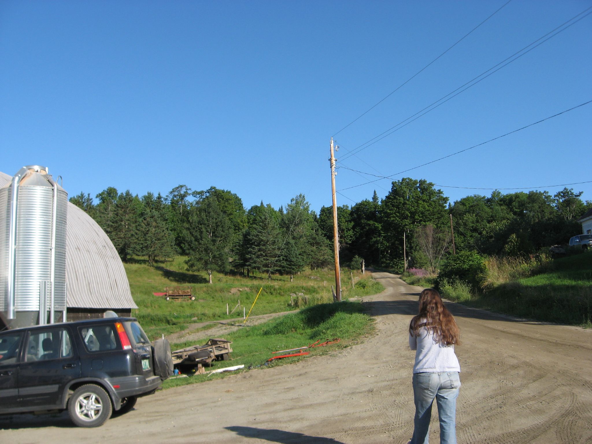
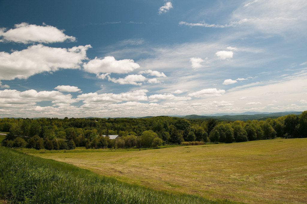
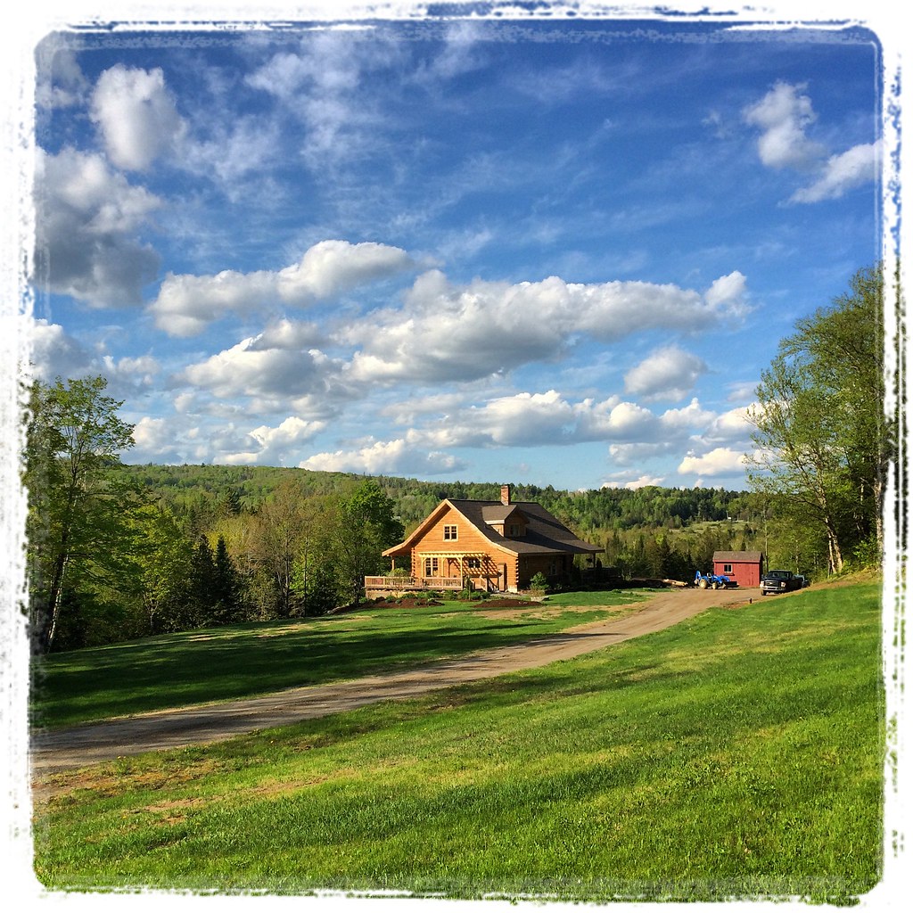
Cabot, VT - Farm
Come for the view, stay because you're dead.
The US as Seen From Vermont
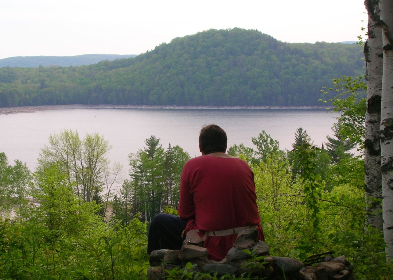
Thoughtful Thorson
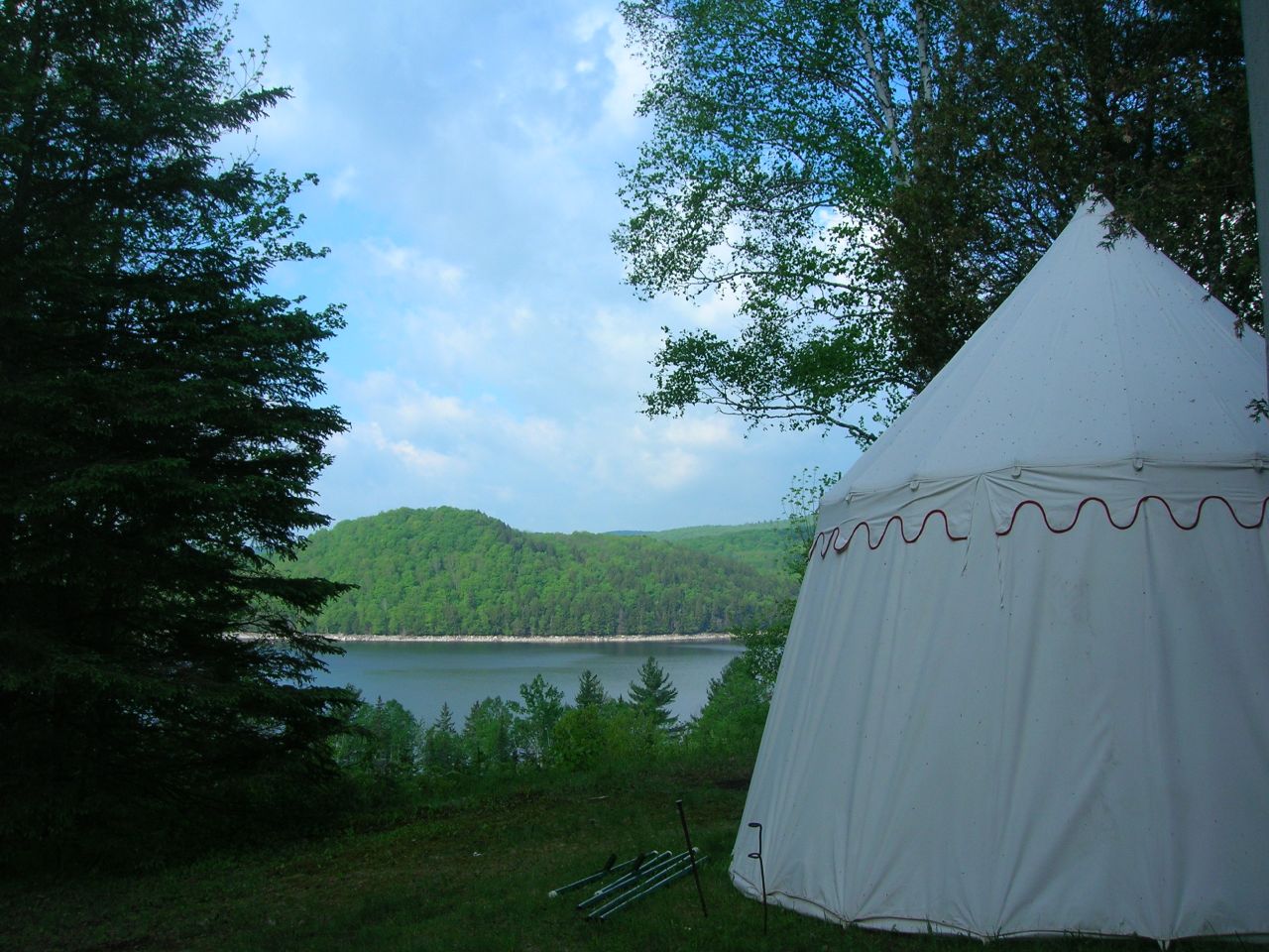
2007-05-27 Panteria View w Tent
View from the front yard
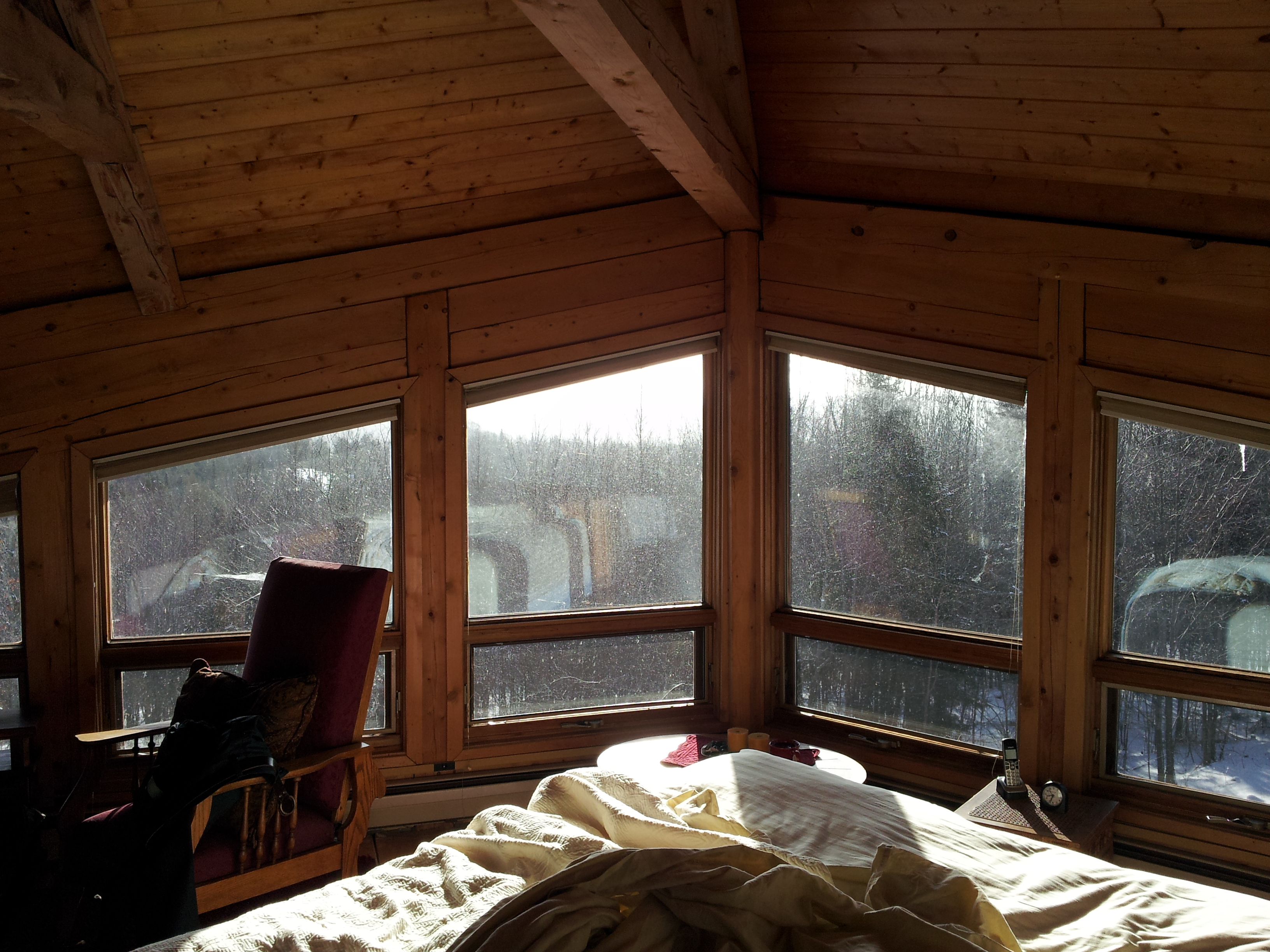
Upstairs Cabin View
View of the new cave site
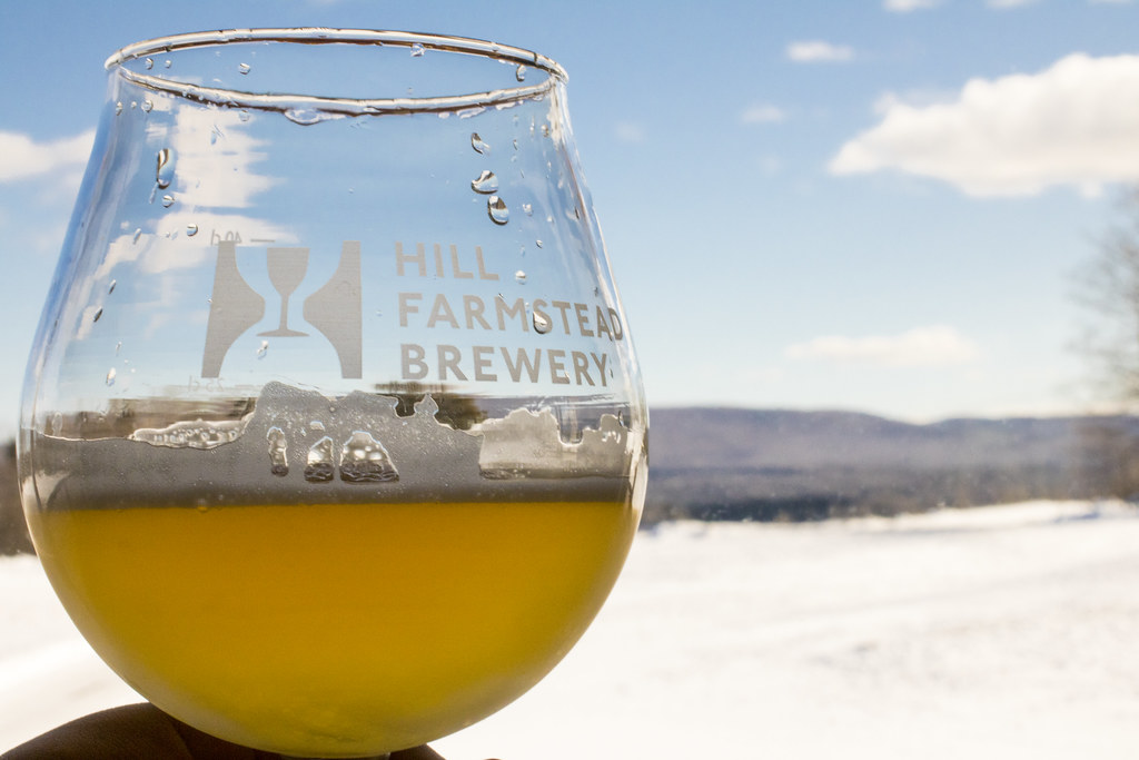
Enjoying the beer at Hill Farmstead
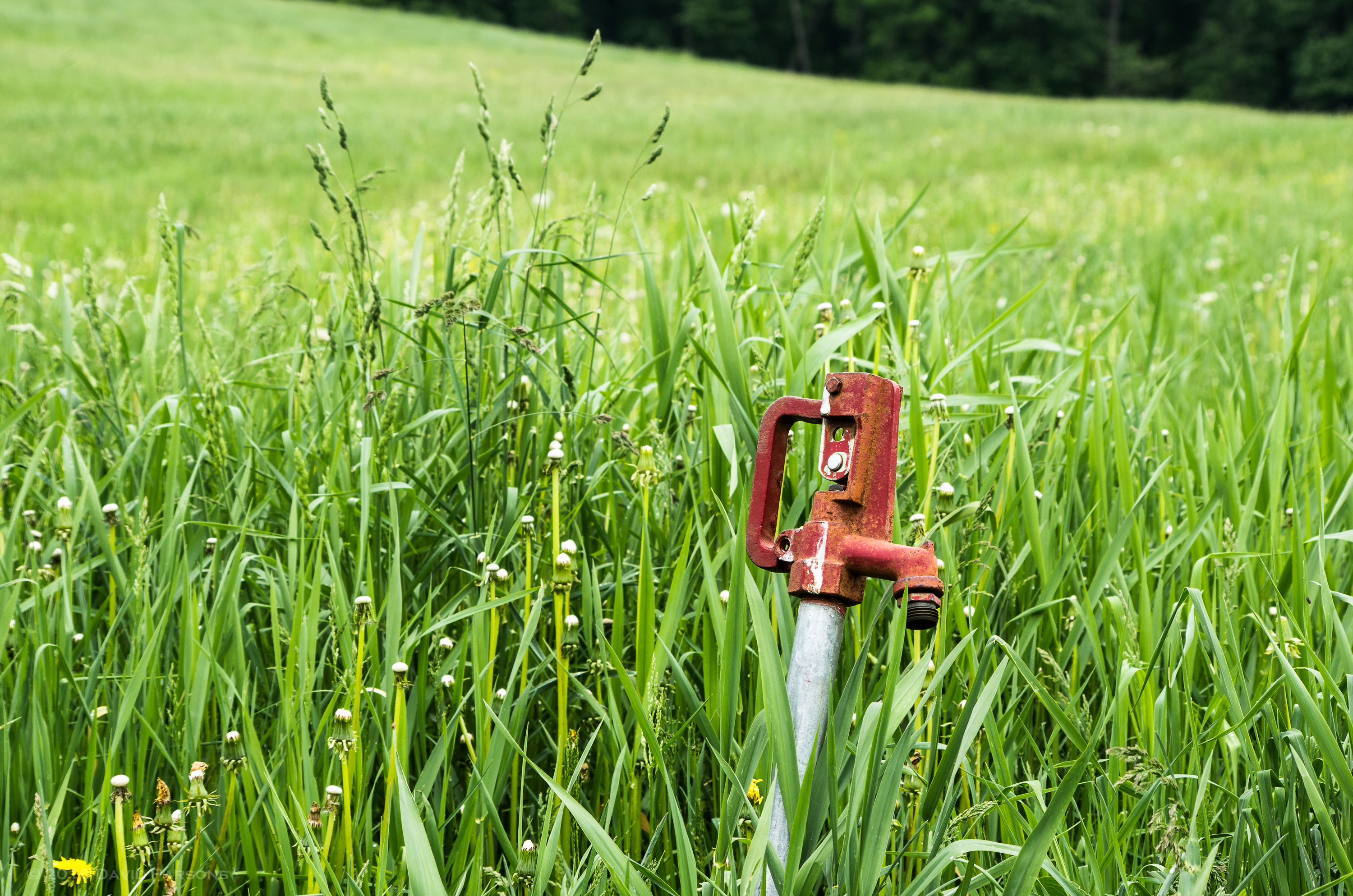
Chandler Pond Farm spigot
bvdm-20090603-001

Cloudy Day in Danville

Vermont Night Life

these three.

25 May 2014

Springtime in Vermont

Somewhere in New England

A.M. Foster Covered Bridge
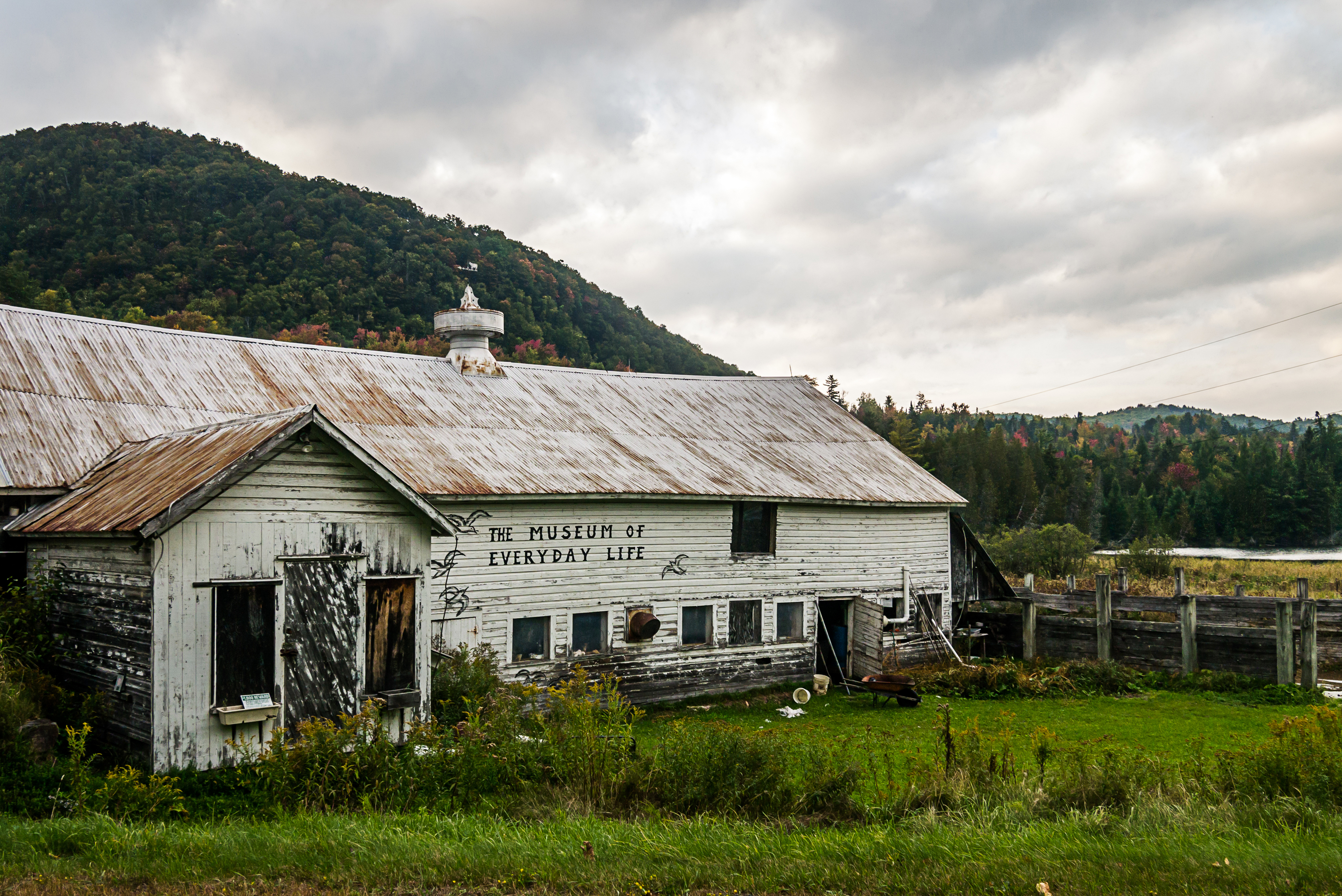
Museum of Everyday Life (Project 365: 263/365)
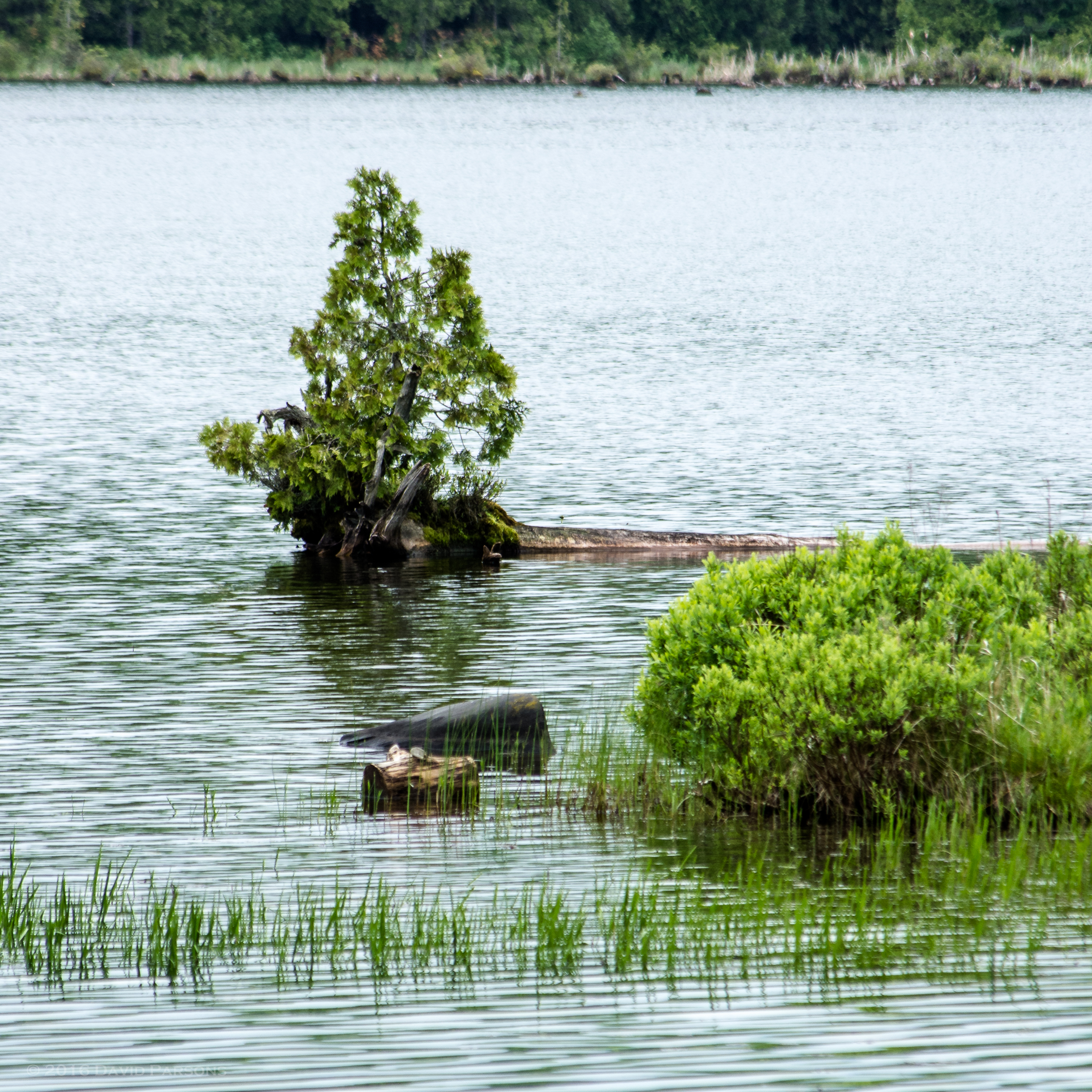
Chandler Pond
Somewhere in New England
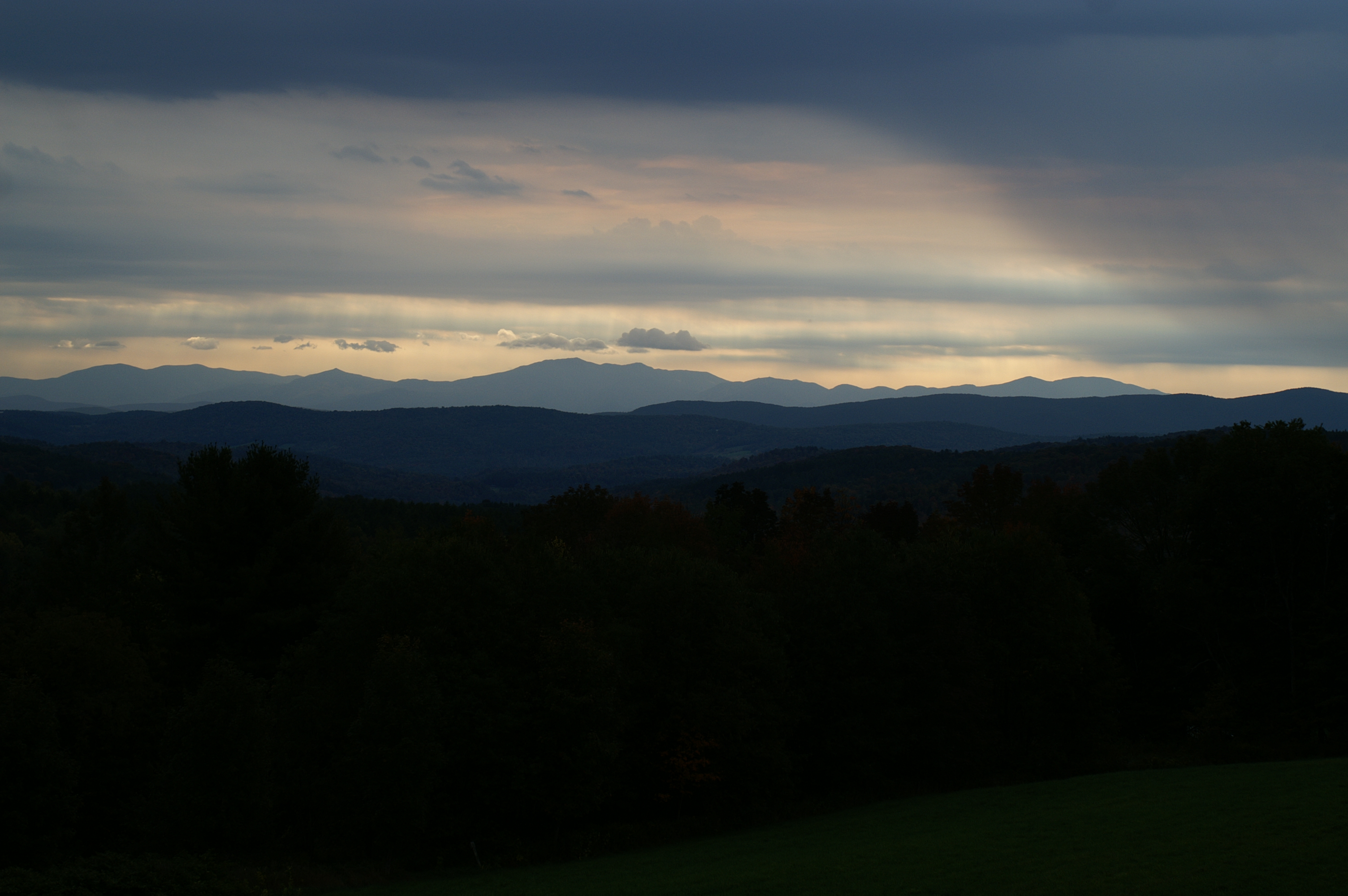
Greensboro Overview

Vermont Red Barn Sunset
untitled (37 of 98)
#vermont
Runaway Pond Moose -3.jpg

09 Christmas _ Vermont Trip
25 May 2014
untitled (42 of 98)
east-cabot-2011.jpg
Topographic Map of Coles Pond, Walden, VT, USA
Find elevation by address:

Places near Coles Pond, Walden, VT, USA:
358 Eastern Ave
2497 Coles Pond Rd
3324 Coles Pond Rd
Stannard
Stannard Mountain Rd, Greensboro Bend, VT, USA
33 Hall Rd
3851 Noyestar Rd
Greensboro Bend
Bayley Hazen Road
217 Mountain View Rd
217 Mountain View Rd
Sparhawk Rd, Greensboro Bend, VT, USA
14 Pleasant St
121 Main St
East Hardwick
2368 Keniston Hill Rd
225 Breezy Ave
Mountain View Country Club
403 Hill Rd
708 Barr Hill Rd
Recent Searches:
- Elevation of Corso Fratelli Cairoli, 35, Macerata MC, Italy
- Elevation of Tallevast Rd, Sarasota, FL, USA
- Elevation of 4th St E, Sonoma, CA, USA
- Elevation of Black Hollow Rd, Pennsdale, PA, USA
- Elevation of Oakland Ave, Williamsport, PA, USA
- Elevation of Pedrógão Grande, Portugal
- Elevation of Klee Dr, Martinsburg, WV, USA
- Elevation of Via Roma, Pieranica CR, Italy
- Elevation of Tavkvetili Mountain, Georgia
- Elevation of Hartfords Bluff Cir, Mt Pleasant, SC, USA