Elevation of Walden, VT, USA
Location: United States > Vermont > Caledonia County >
Longitude: -72.223156
Latitude: 44.4497781
Elevation: 503m / 1650feet
Barometric Pressure: 95KPa
Elevation Map:
Satellite Map:
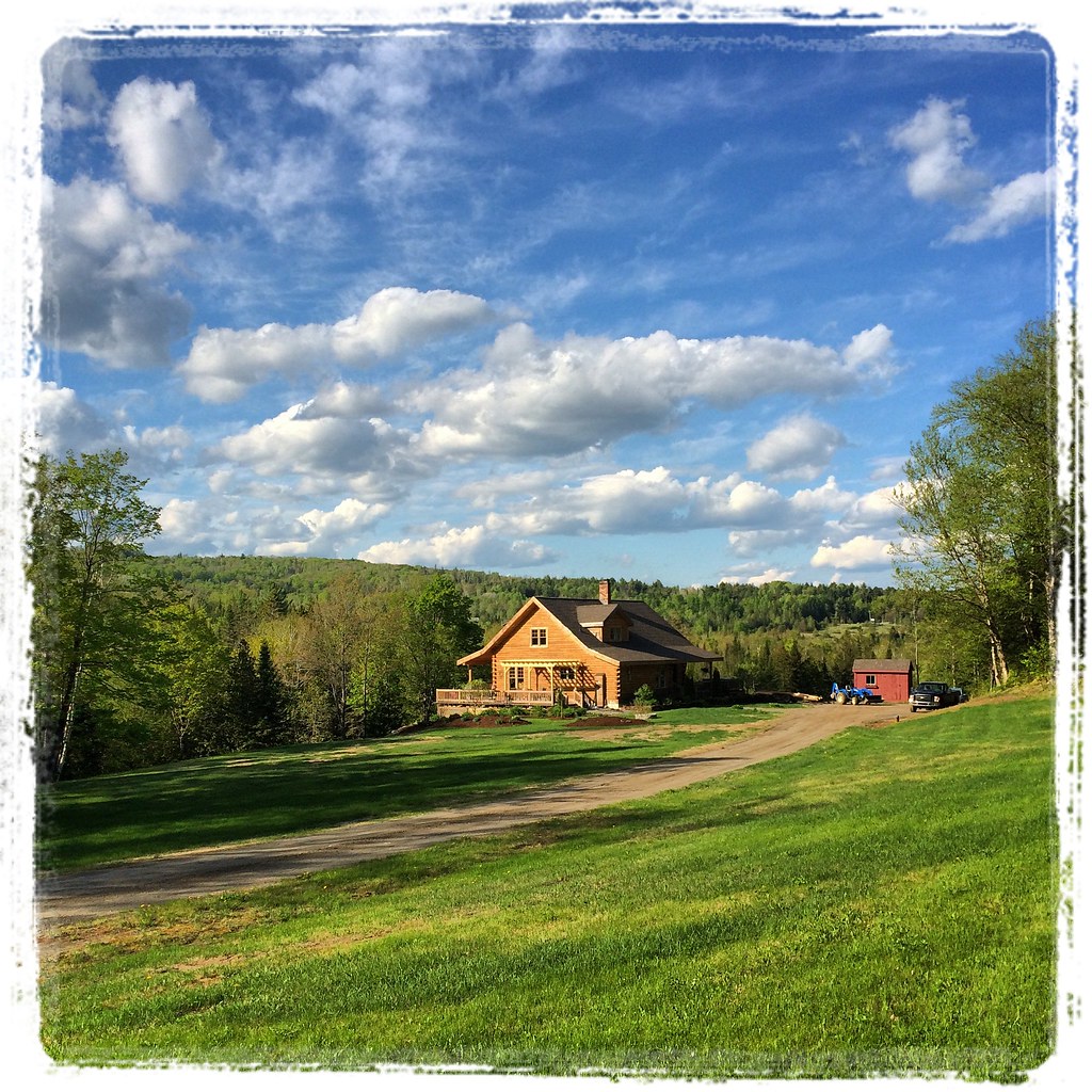
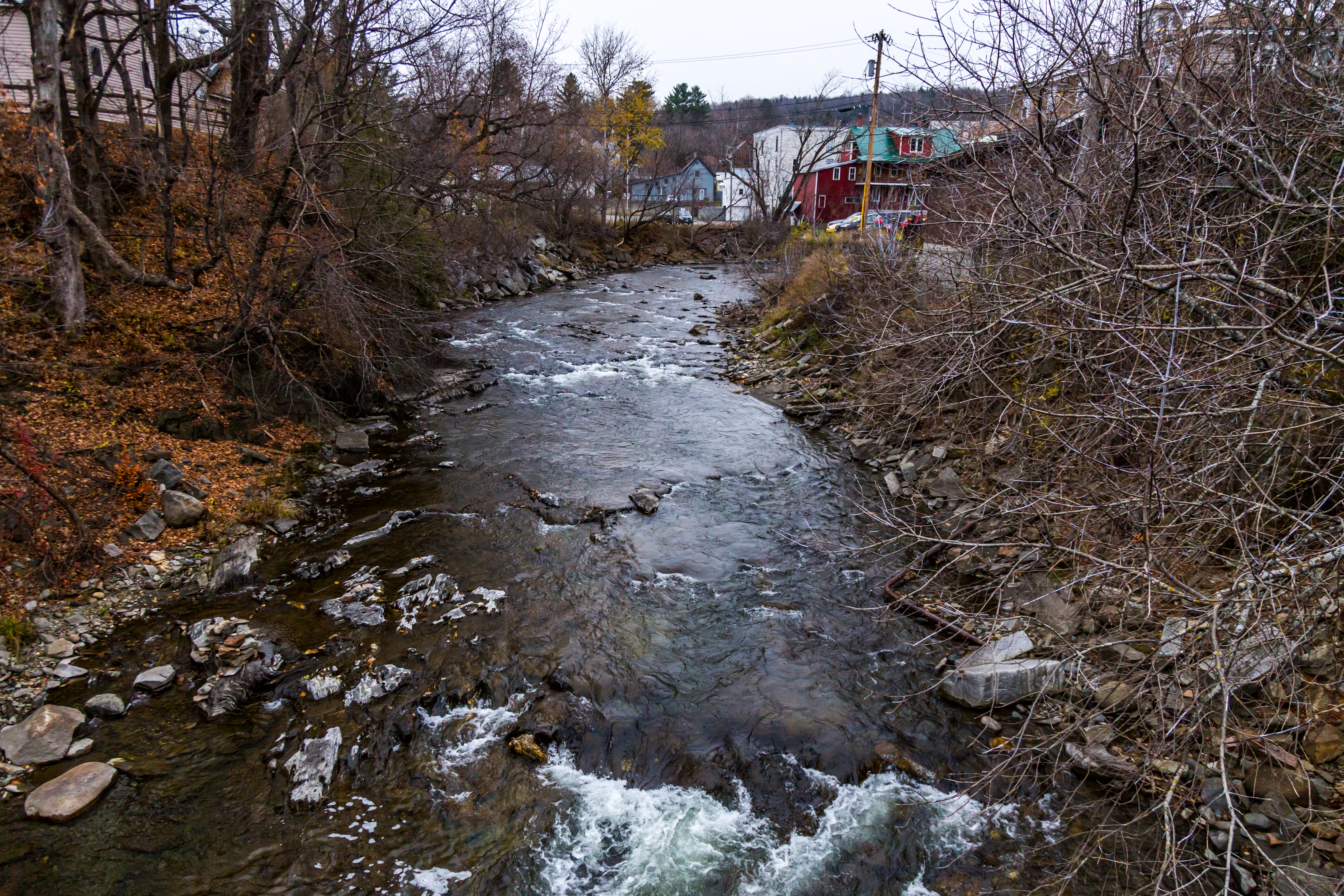
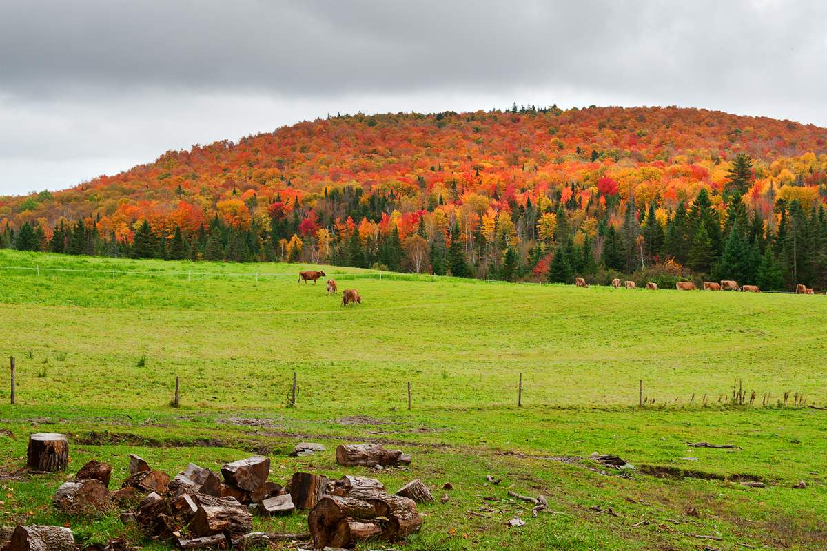
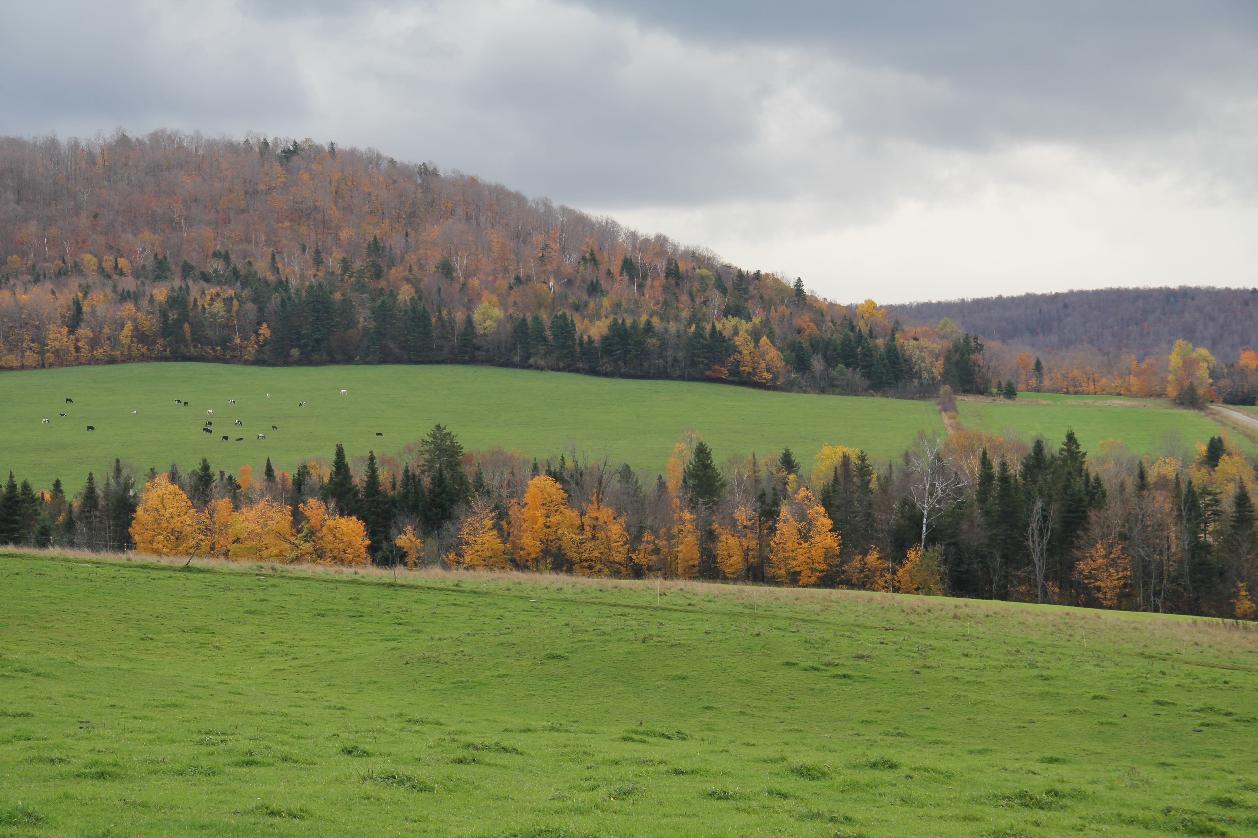
Related Photos:
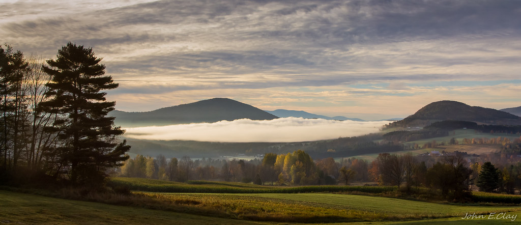
Peacham Mist
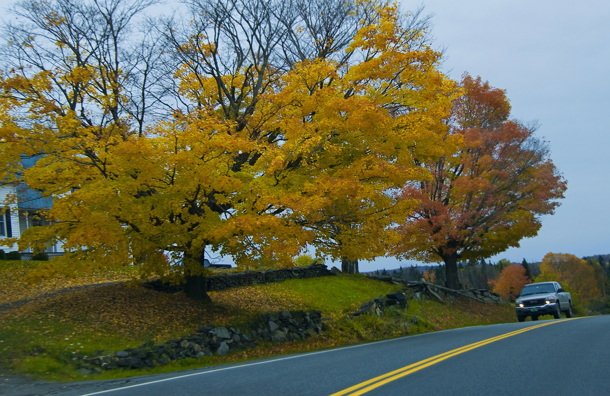
Drive to Stowe - roadside view 1

Drive to Stowe - roadside view 5
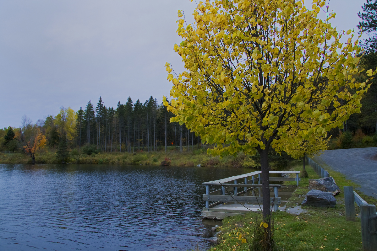
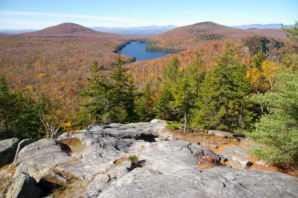
Mollys Fall Pond 2
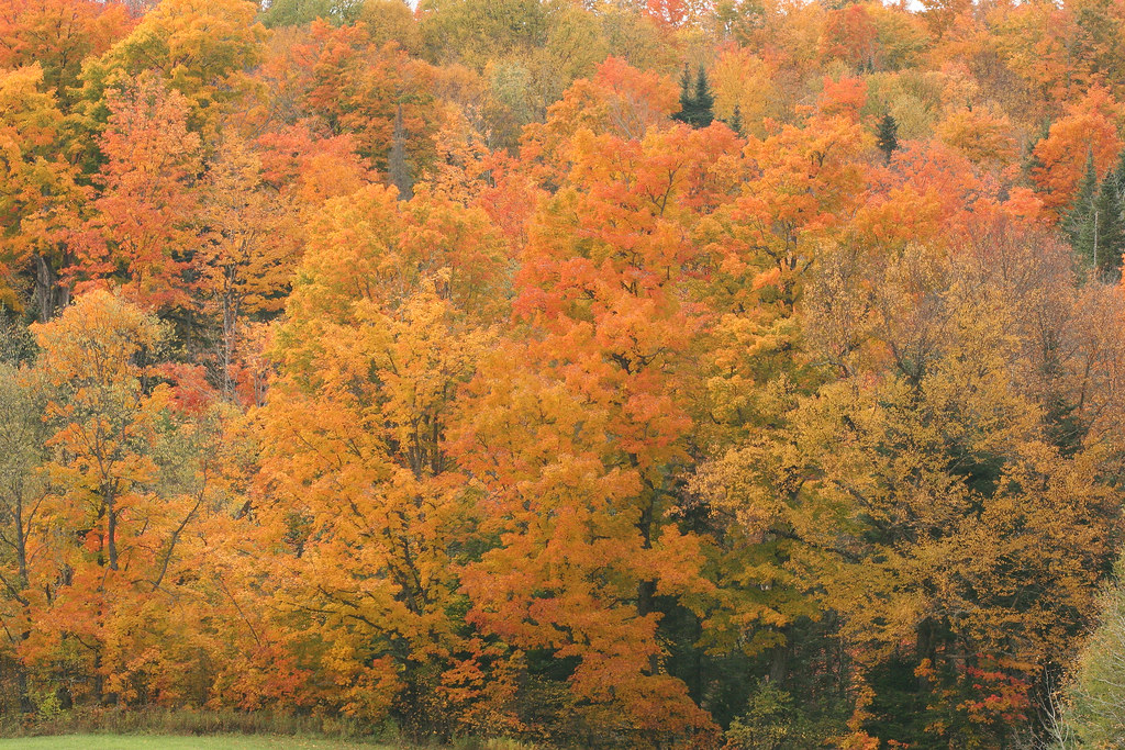
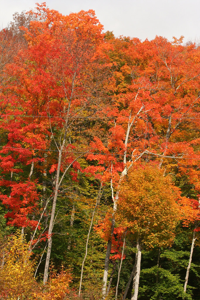
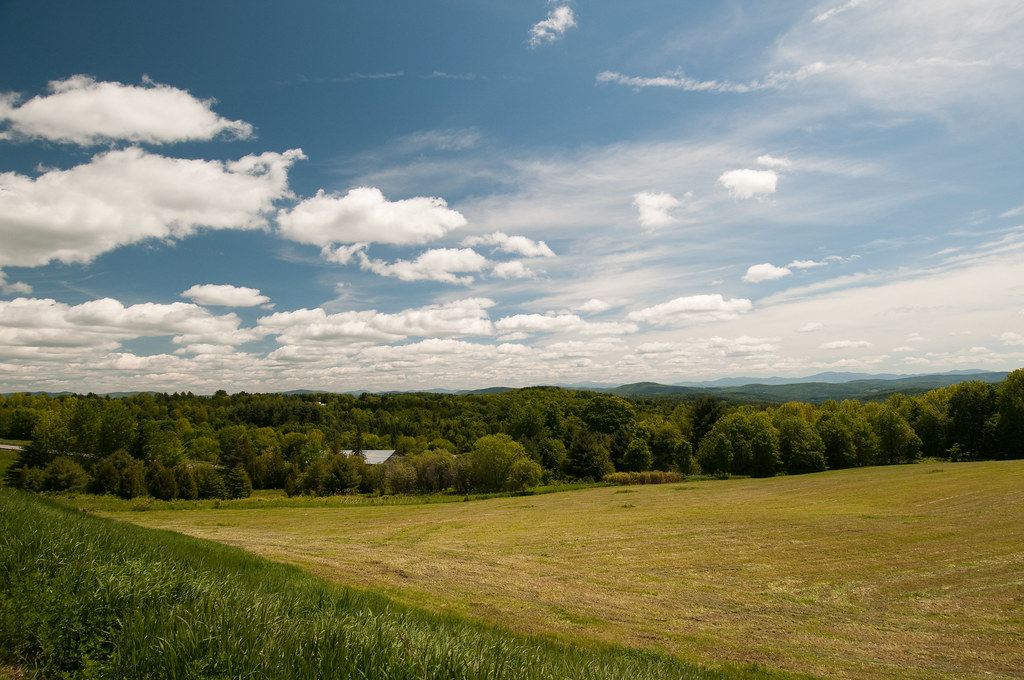
Vermont Fall Foliage 1
Drive to Stowe - roadside view 3

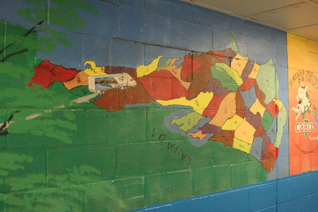
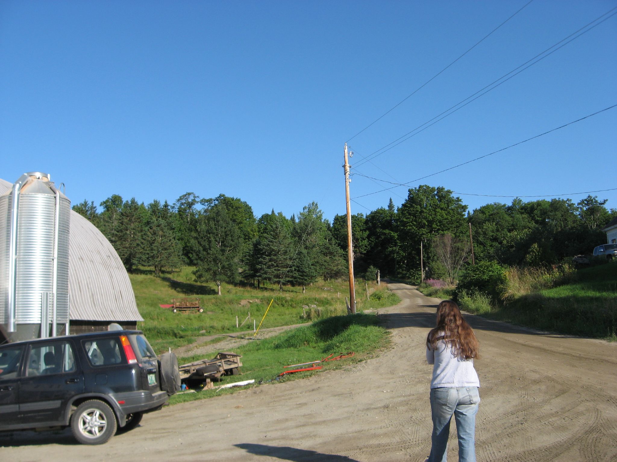
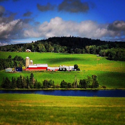
Cabot, VT - Farm
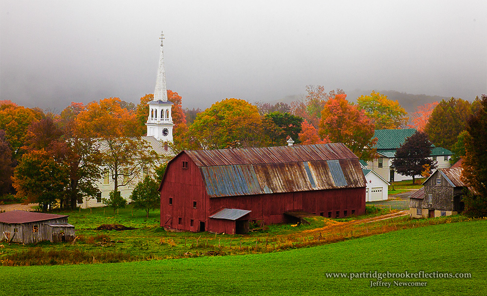
Peacham Panorama

Mollys Fall Pond 3
Come for the view, stay because you're dead.
The US as Seen From Vermont

St. J (38/365)
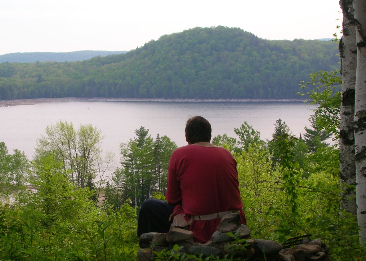
Thoughtful Thorson

Mollys Fall Pond 1
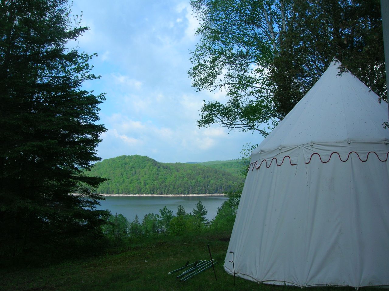
2007-05-27 Panteria View w Tent
View from the front yard
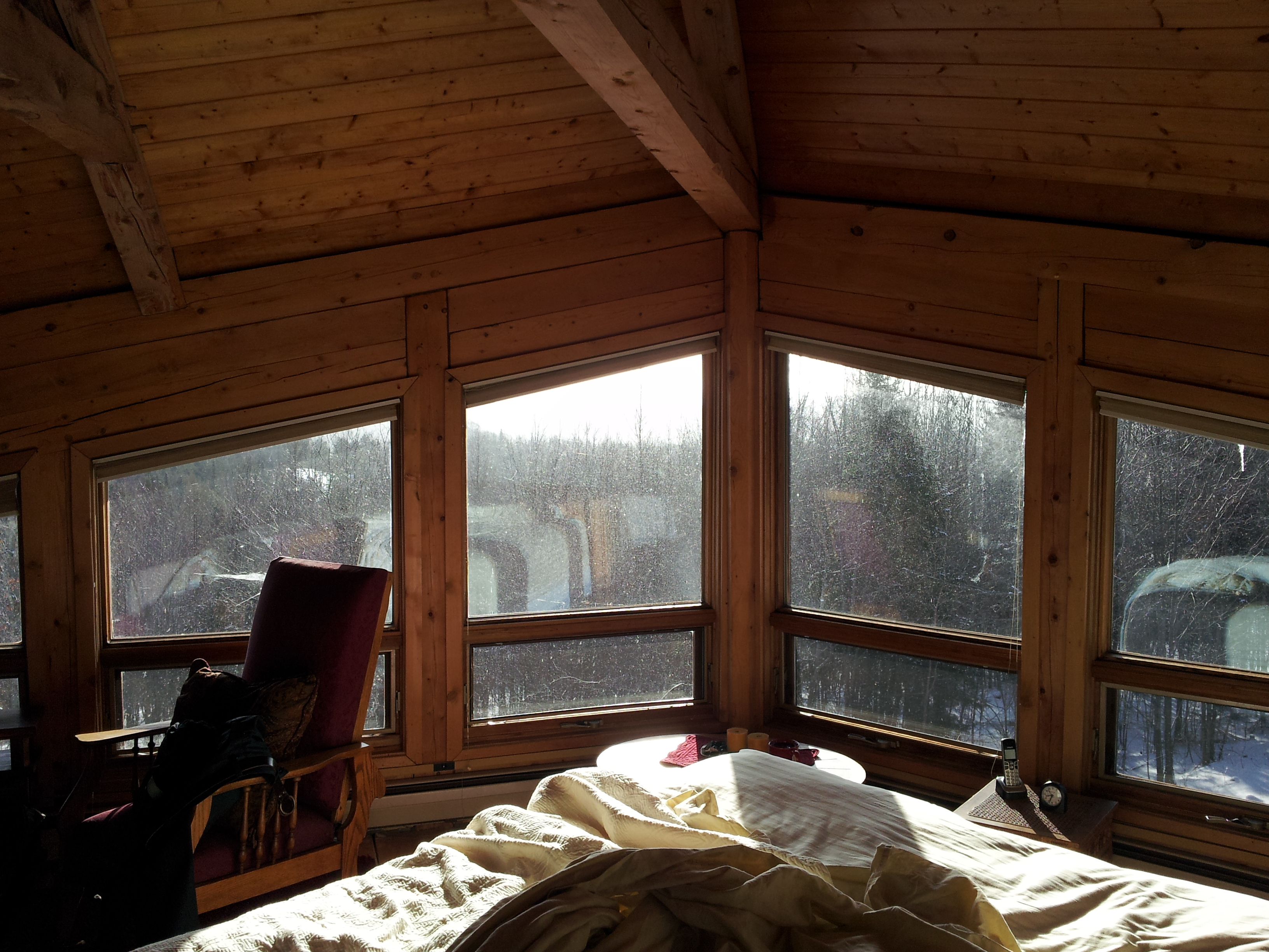
Upstairs Cabin View
View of the new cave site
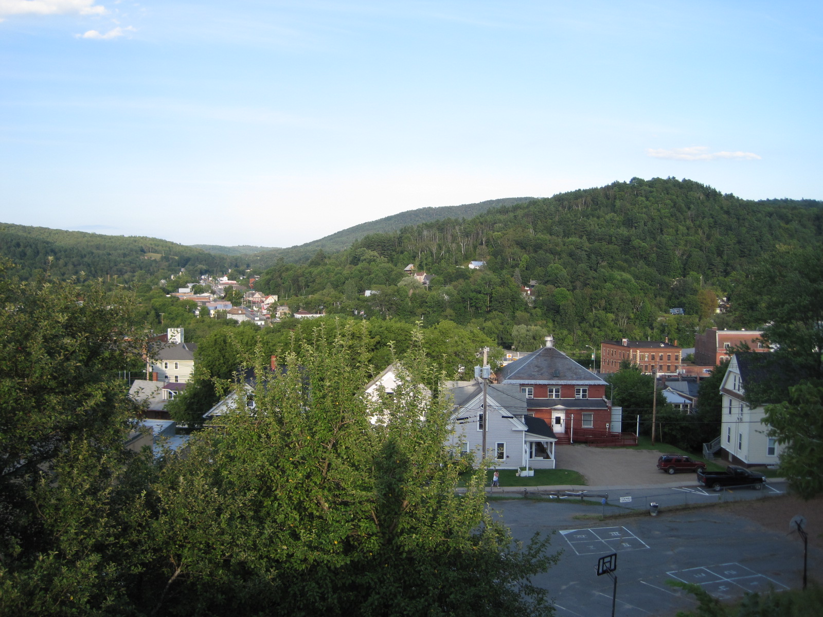
St. Johnsbury
Secret ledge

End Of The Road
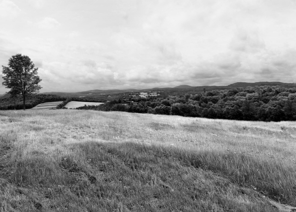
The Valley
bvdm-20090603-001

Cloudy Day in Danville

25 May 2014

Somewhere in New England

A.M. Foster Covered Bridge
Somewhere in New England
untitled (37 of 98)
#vermont

09 Christmas _ Vermont Trip
25 May 2014
untitled (42 of 98)
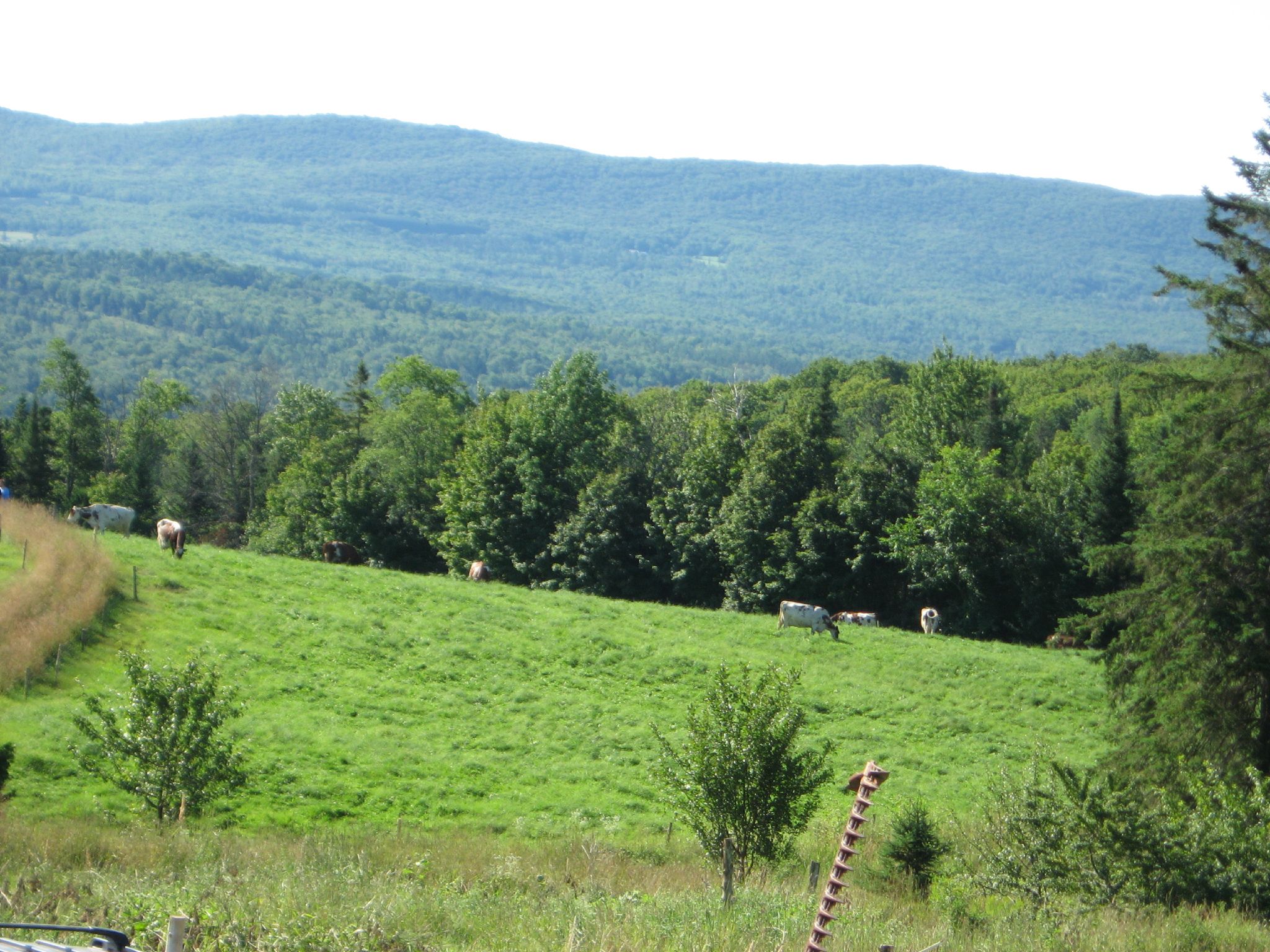
Mack Mountain Rd West Danville Northern Vermont

MRM Flood-8

girl in a field of rye
east-cabot-2011.jpg
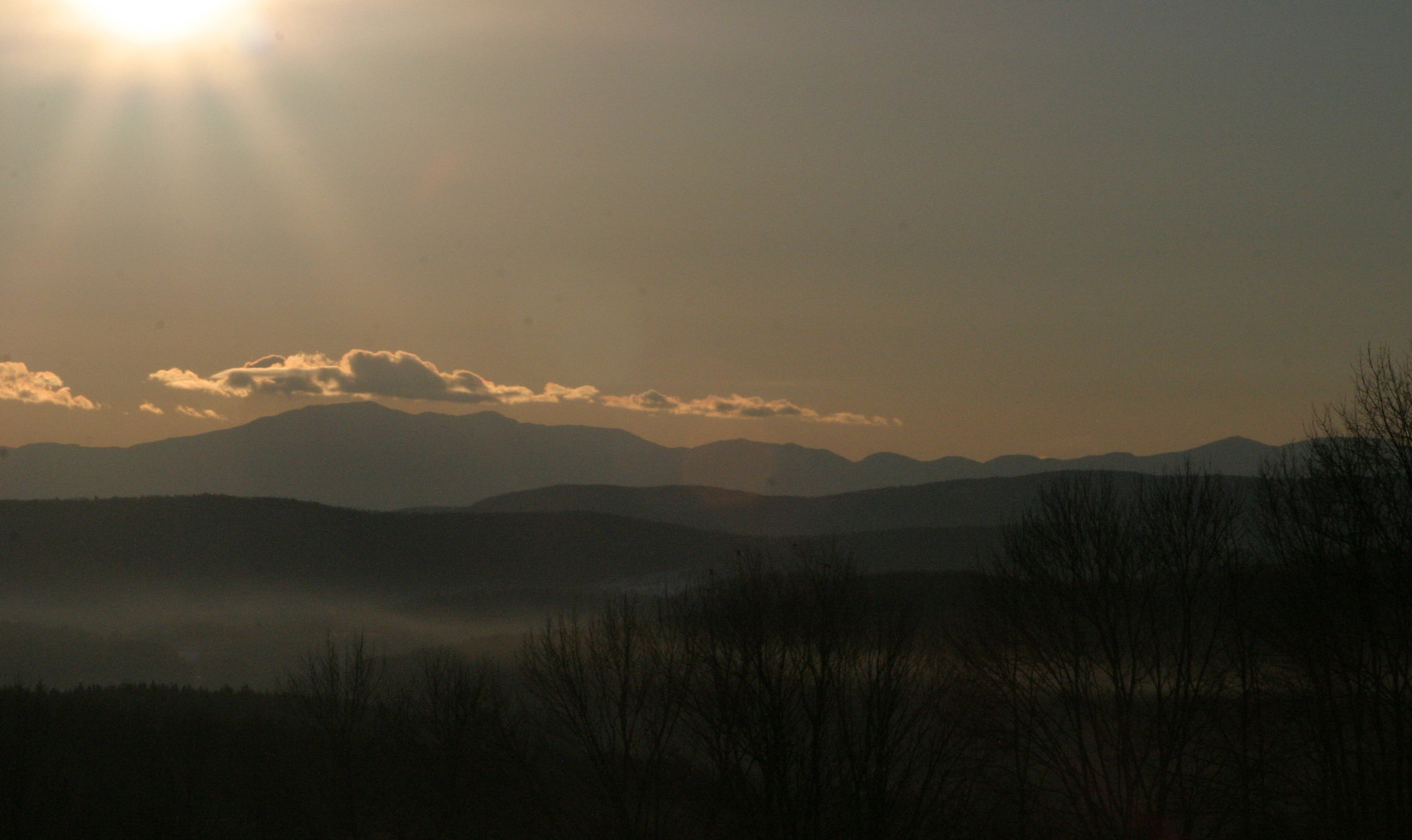
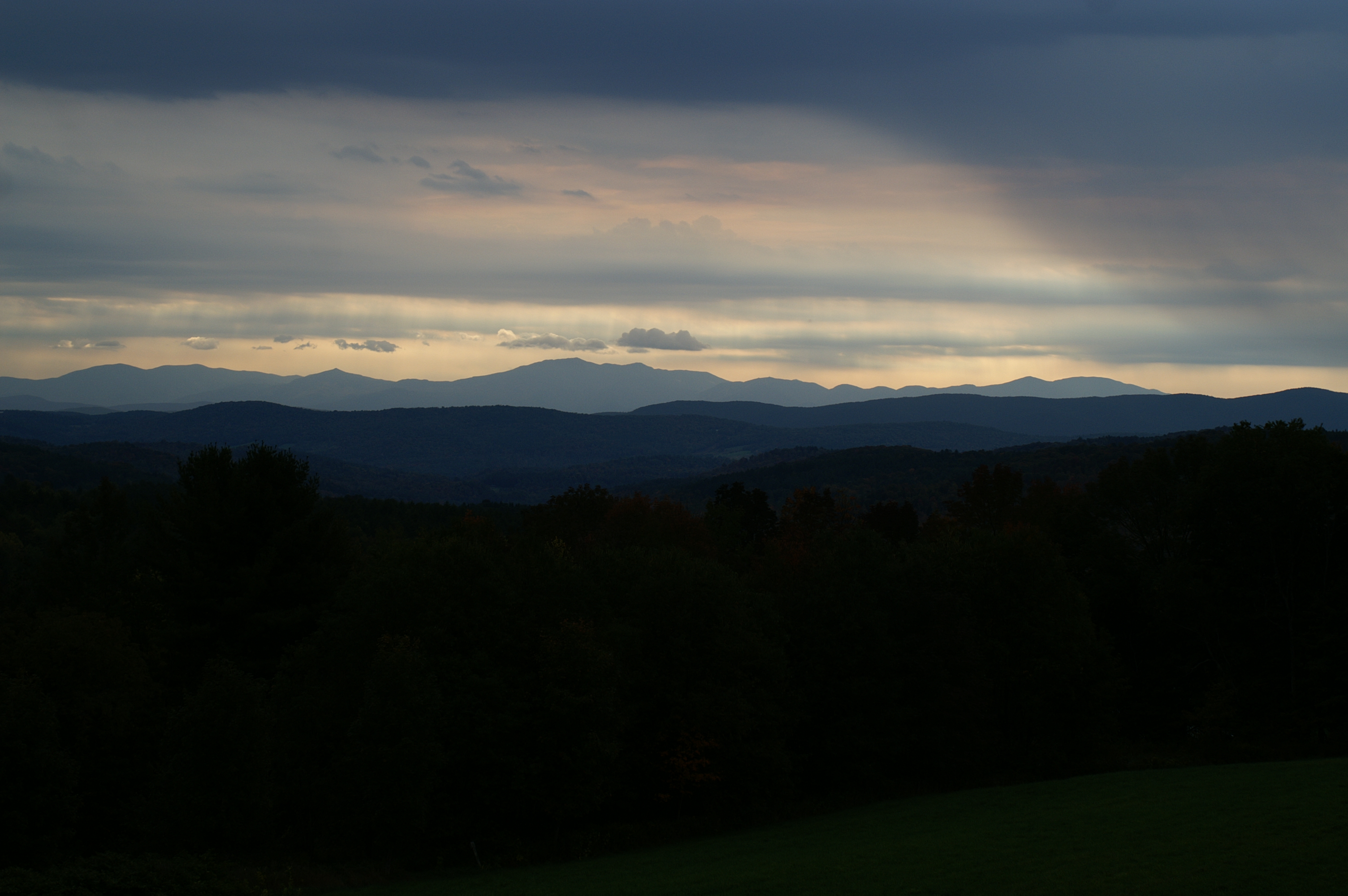
Sunrise over the White Mountains
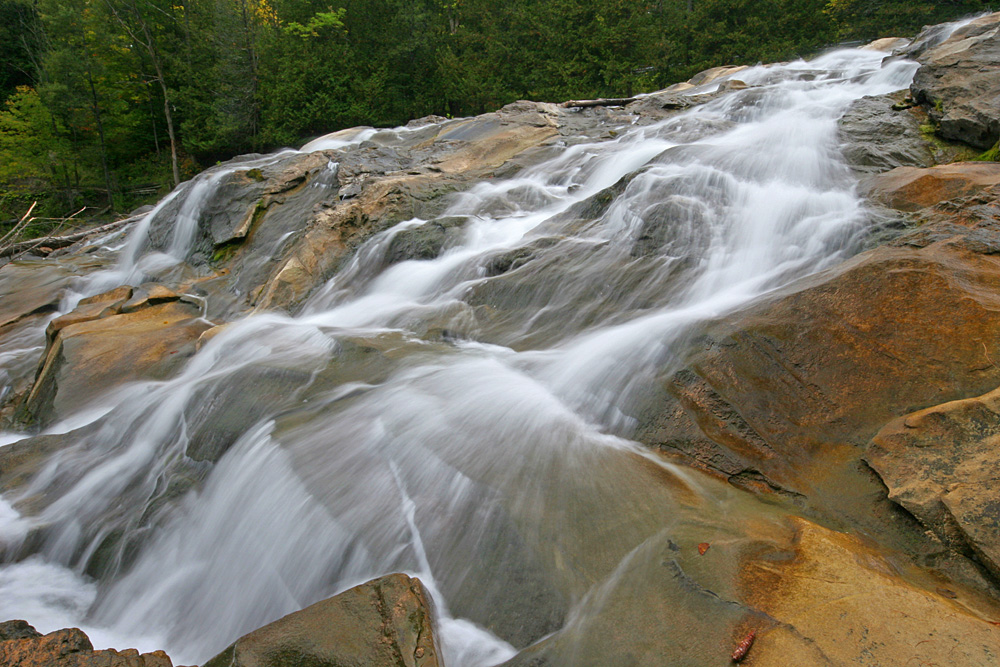
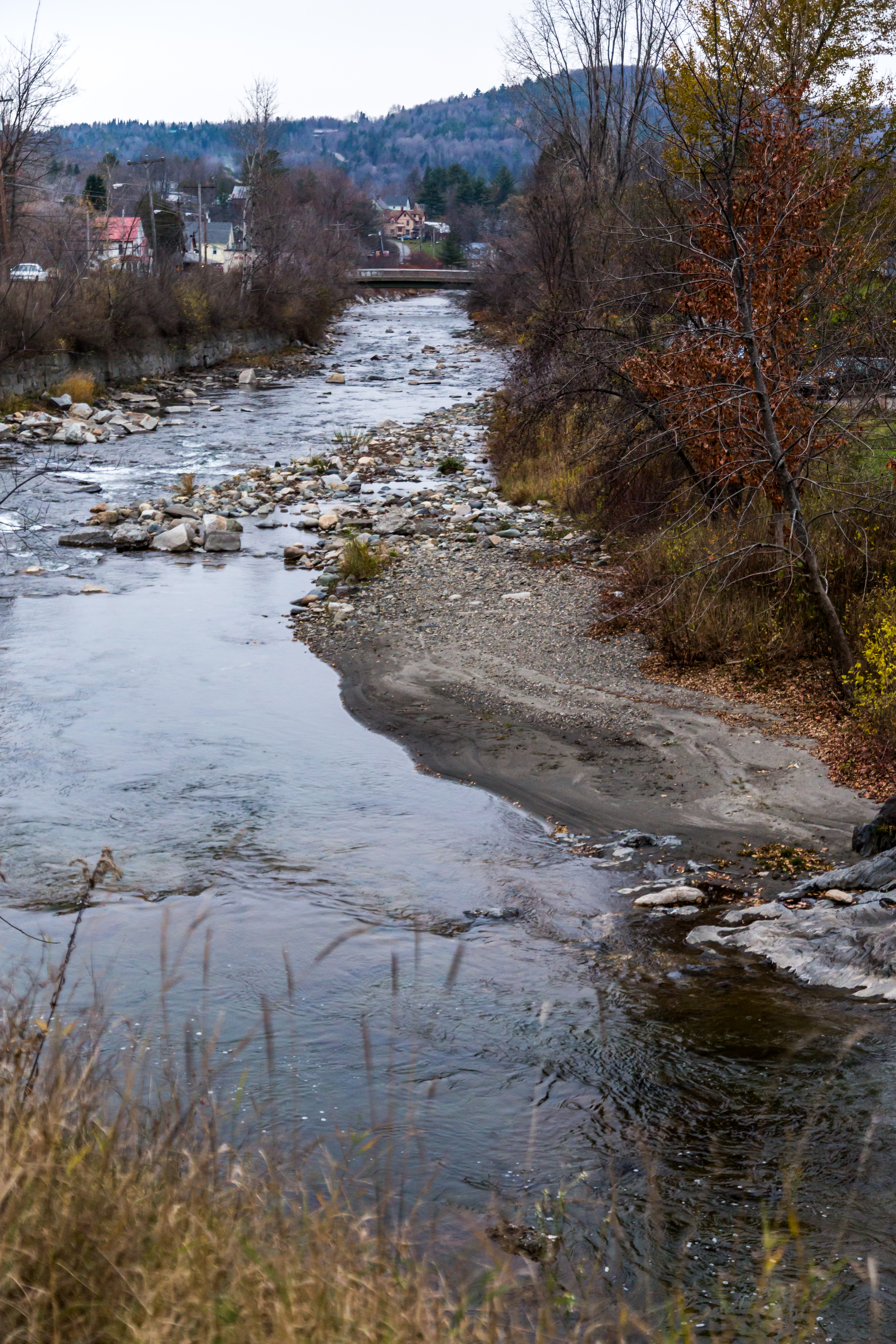
Emerson Falls

Forever Skies
Topographic Map of Walden, VT, USA
Find elevation by address:

Places in Walden, VT, USA:
Places near Walden, VT, USA:
2175 Vt-15
5 Audet Pl
116 Noyestar Rd
705 Noyestar Rd
Cobb Rd, West Danville, VT, USA
Upper Harrington Hill
377 Lyford West Shore
1547 Bricketts Crossing Rd
Walden Heights
Cove Road
640 W Shore Rd
207 Vt-215
207 Vt-215
2125 Cahoon Farm Rd
596 Vt-15
West Danville
330 Bayley Hazen Rd
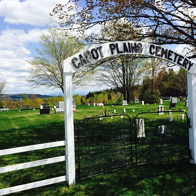
Cabot Plains Cemetery
Wightman Road
Cabot, VT, USA
Recent Searches:
- Elevation of Corso Fratelli Cairoli, 35, Macerata MC, Italy
- Elevation of Tallevast Rd, Sarasota, FL, USA
- Elevation of 4th St E, Sonoma, CA, USA
- Elevation of Black Hollow Rd, Pennsdale, PA, USA
- Elevation of Oakland Ave, Williamsport, PA, USA
- Elevation of Pedrógão Grande, Portugal
- Elevation of Klee Dr, Martinsburg, WV, USA
- Elevation of Via Roma, Pieranica CR, Italy
- Elevation of Tavkvetili Mountain, Georgia
- Elevation of Hartfords Bluff Cir, Mt Pleasant, SC, USA