Elevation of Keniston Hill Rd, Lyndonville, VT, USA

Location: United States > Vermont > Caledonia County > Lyndon > Lyndonville >

Longitude: -72.165840

Latitude: 44.5888624

Elevation: 548m / 1798feet

Barometric Pressure: 95KPa

Elevation Map:

elevation map of Keniston Hill Rd, Lyndonville, VT, USA

Satellite Map:

Satellite map of Keniston Hill Rd, Lyndonville, VT, USA

Related Photos:

bandstandparklyndonvillevermont bandstandpark lyndonvillevermont vermont nek northeastkingdom thekingdom newengland us unitedstatesofamerica longexposure longexposurephotography park urbanbeauty lyndonville darksky night snow winter lighttrail community caledonia caledoniacounty
Gazebo views
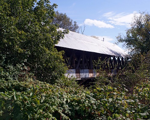
vacation2016fall sonyalpha7rilce7ra7r flickr coveredbridge sony0mmf00
Sanborn Bridge II
winter usa snow beer vermont hill brewery farmstead glassofbeer craftbeer hillfarmsteadbrewery hillfarmstead
Enjoying the beer at Hill Farmstead
the valley view family restaurant and tavern lyndon honda audi vt vermont usa america amerika
Family Restaurant
Kingdom Trails, Vermont - Mountain Biking
View from AirBnB Room
mountainbiking
View from the chapel
View from North Danville
caledoniacounty vermont usa
View From Our Deck
cheese vermont greensboro acs jasperhill jasperhillfarm
View of the new cave site
greensboro vermont unitedstates us
IMG_0277-2
cheese vermont acs jasperhill
View from the front yard
chamberlinmillcoveredbridge lyndon vermont caledoniacounty usa coveredbridge southwheelockbranch
View From the Chamberlin Mill Covered Bridge
Lake view
Lake view
Lake view
chamberlinmillcoveredbridge lyndon vermont caledoniacounty usa coveredbridge southwheelockbranch
View From the Chamberlin Mill Covered Bridge
View from the Sewing Room
2019-06-03 Porter Brook Outlet
oneaday vermont photoaday roadsideattraction oddity pictureaday project365 project365263 ruralvermont museumofeverydaylife
Museum of Everyday Life (Project 365: 263/365)
vermont circus greensboro smirkus 2011 hbppix
Greensboro Overview
autumn caledoniacounty fall northamerica pentaxk5 places season sutton unitedstates vermont smcpda60250mmf4edifsdm
Foggy morning in Sutton
autumn nikon vermont newengland foliage passumpsicriver d800e
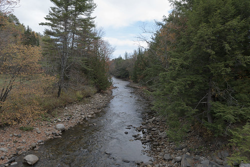
The East Branch of the Passumpsic River
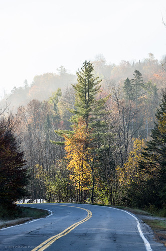
autumn fall fog landscape vermont unitedstates newengland foliage lyndon lyndonville puddinghillrd
Morning Fog
winter sunset red barn landscape us vermont unitedstates greensboro northeastkingdom nek
Vermont Red Barn Sunset
square sierra squareformat iphoneography instagramapp uploaded:by=instagram
these three.
lake vermont greensboro caspian
Vermont Night Life
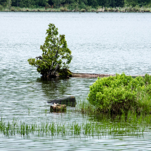
sky water pond vermont unitedstates overcast places northamerica lyndonville chandlerpond smcpda55300mmf458ed pentaxk5 chandlerpondfarm
Chandler Pond
sky vermont unitedstates places northamerica partlycloudy lyndonville smcpda55300mmf458ed pentaxk5 chandlerpondfarm
Chandler Pond Farm
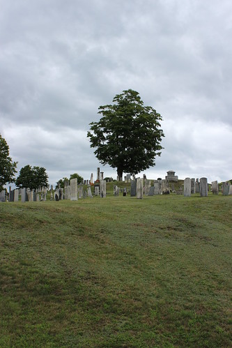
vt vermont us usa cemetery cimetière unitedstates newengland étatsunis licensed exclusive getty
Westlook Cemetery
bread vermont puppet
picket fence people
blue trees sky west nature field grass landscape gold vermont farm glover fields vt dandelions global fotografía alemdagqualityonlyclub
Fields of Gold
A long road
canon vermont circus clown greensboro acrobat trapeze contortion vt smirkus hbppix
At Home In Greensboro
bread vermont puppet
mother earth
waterfall vermont falls waterfalls greenmountains
Goslants Mill