Elevation of What Cheer, IA, USA
Location: United States > Iowa > Keokuk County > Washington >
Longitude: -92.354628
Latitude: 41.401397
Elevation: 238m / 781feet
Barometric Pressure: 98KPa
Elevation Map:
Satellite Map:
Related Photos:
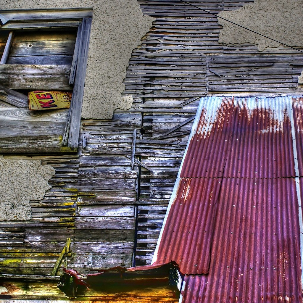
Deconstruction by time
Standing on the corner . . . for a very long time

Delta Grocery

North Skunk River

What Cheer, Iowa - Water Tower

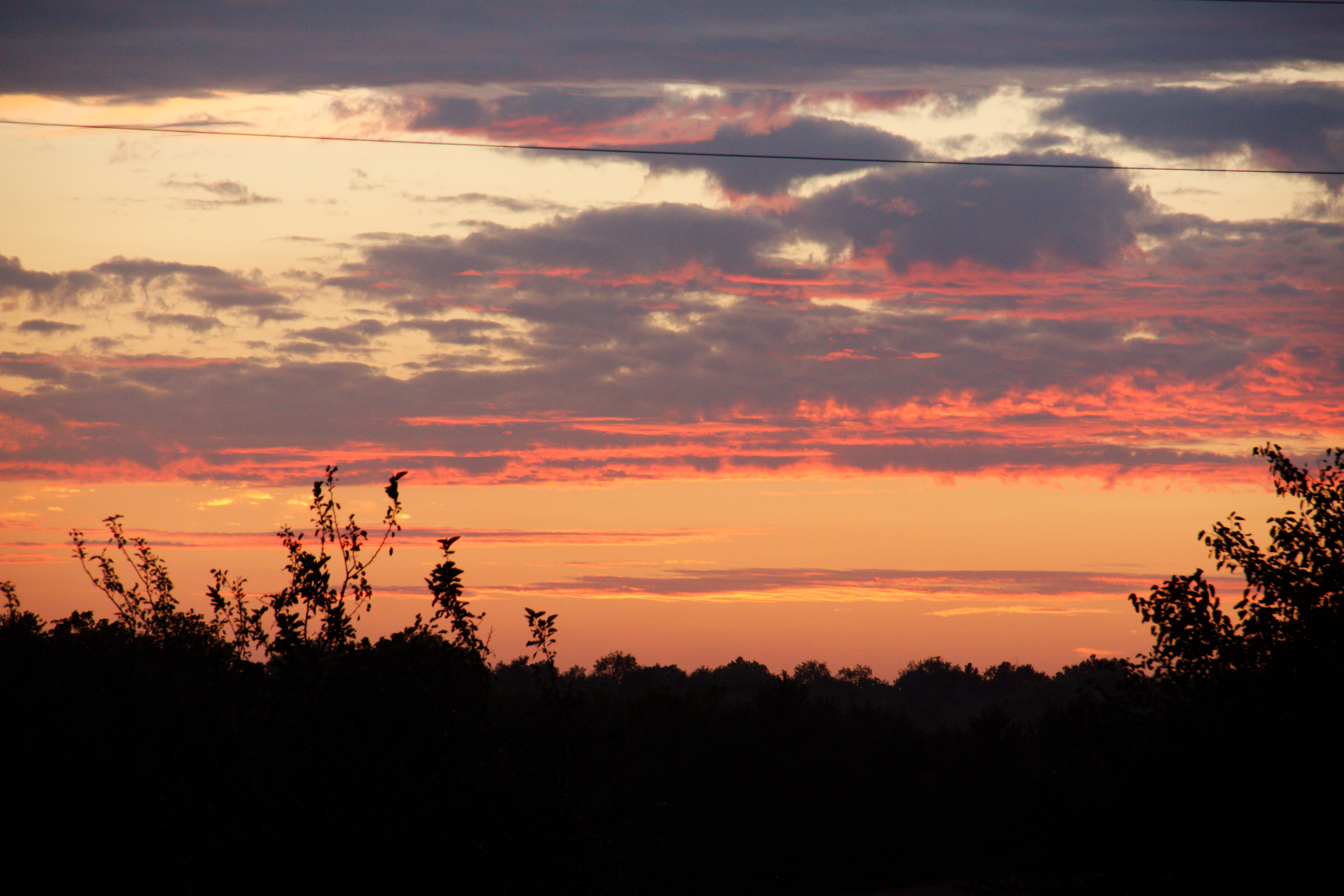
Sunsets Fire 2

Sunsets Fire 1

Sunsets Fire 3

Sunsets Fire 5
Fall Sunset

Sunsets Fire 4
Topographic Map of What Cheer, IA, USA
Find elevation by address:

Places in What Cheer, IA, USA:
Places near What Cheer, IA, USA:
East Briney Street, What Cheer, IA, USA
Washington
S Irons St, Keswick, IA, USA
Keswick
Adams
Sigourney
Keokuk County
Pleasant Grove
Deep River
Barnes City
Broadway St, Barnes City, IA, USA
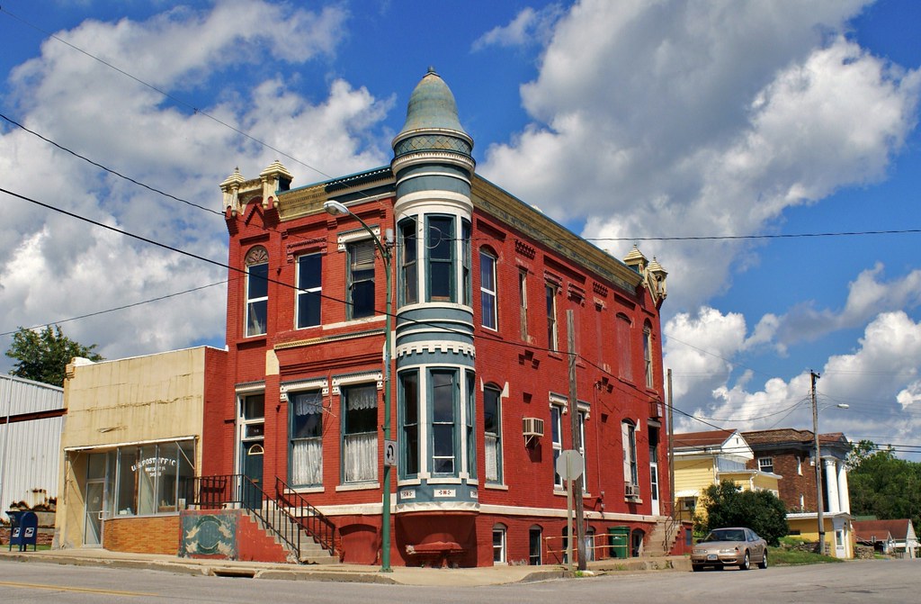
Us Post Office
Sigourney
303 E Jackson St
303 E Pleasant Valley St
303 E Pleasant Valley St
Main St, Hayesville, IA, USA
Hayesville
IA-, Sigourney, IA, USA
Main St, Deep River, IA, USA
Recent Searches:
- Elevation of Congressional Dr, Stevensville, MD, USA
- Elevation of Bellview Rd, McLean, VA, USA
- Elevation of Stage Island Rd, Chatham, MA, USA
- Elevation of Shibuya Scramble Crossing, 21 Udagawacho, Shibuya City, Tokyo -, Japan
- Elevation of Jadagoniai, Kaunas District Municipality, Lithuania
- Elevation of Pagonija rock, Kranto 7-oji g. 8"N, Kaunas, Lithuania
- Elevation of Co Rd 87, Jamestown, CO, USA
- Elevation of Tenjo, Cundinamarca, Colombia
- Elevation of Côte-des-Neiges, Montreal, QC H4A 3J6, Canada
- Elevation of Bobcat Dr, Helena, MT, USA