Elevation of Sigourney, IA, USA
Location: United States > Iowa > Keokuk County >
Longitude: -92.253192
Latitude: 41.309055
Elevation: 217m / 712feet
Barometric Pressure: 99KPa
Elevation Map:
Satellite Map:
Related Photos:
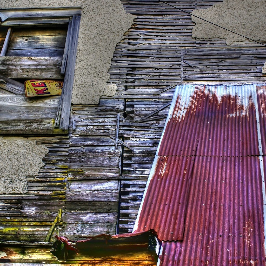
Deconstruction by time
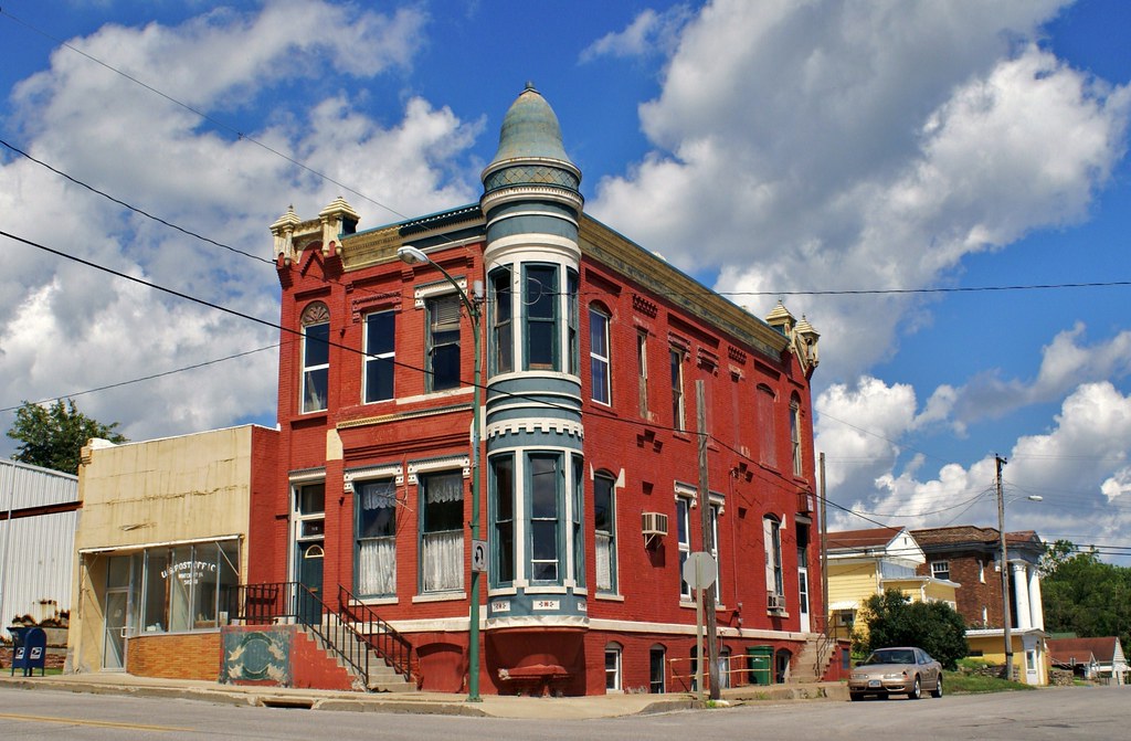
Standing on the corner . . . for a very long time

Delta Grocery
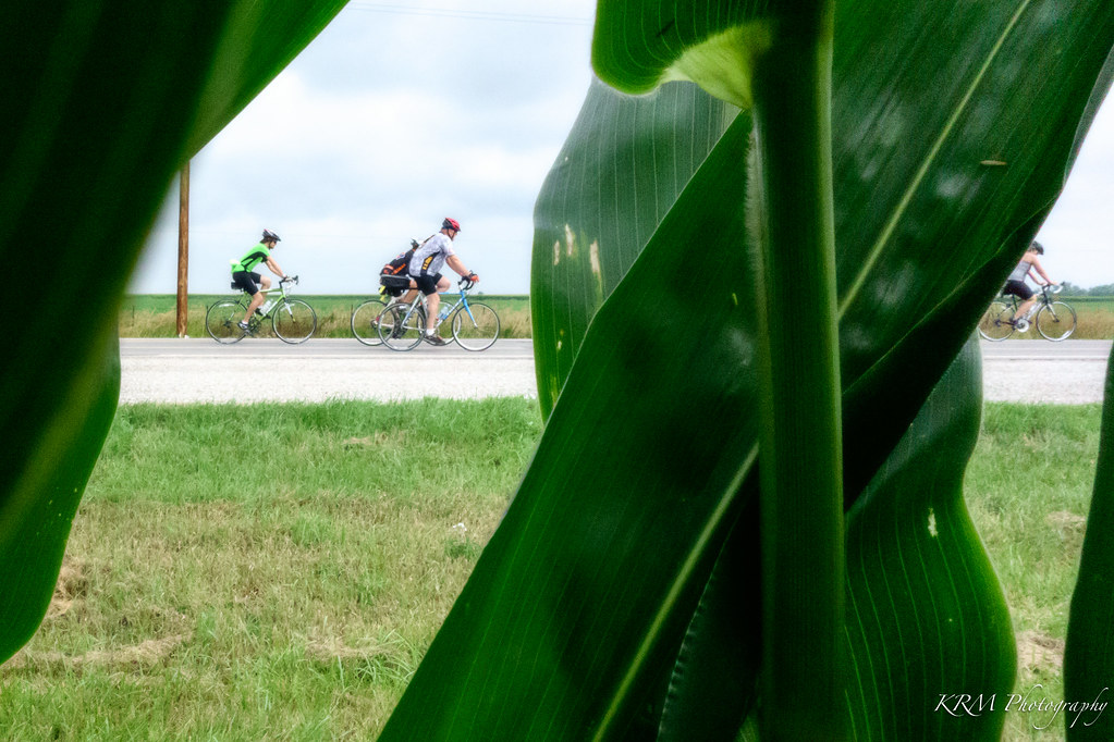
Corn's Eye View.
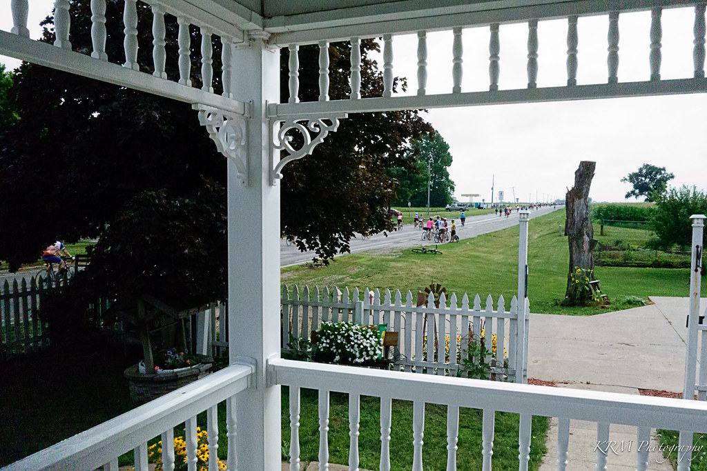
View from Victorian Porch. Martinsburg, Iowa.

What Cheer, Iowa - Water Tower

Belva-Deer Recreation Area

Belva-Deer Recreation Area

Belva-Deer Recreation Area

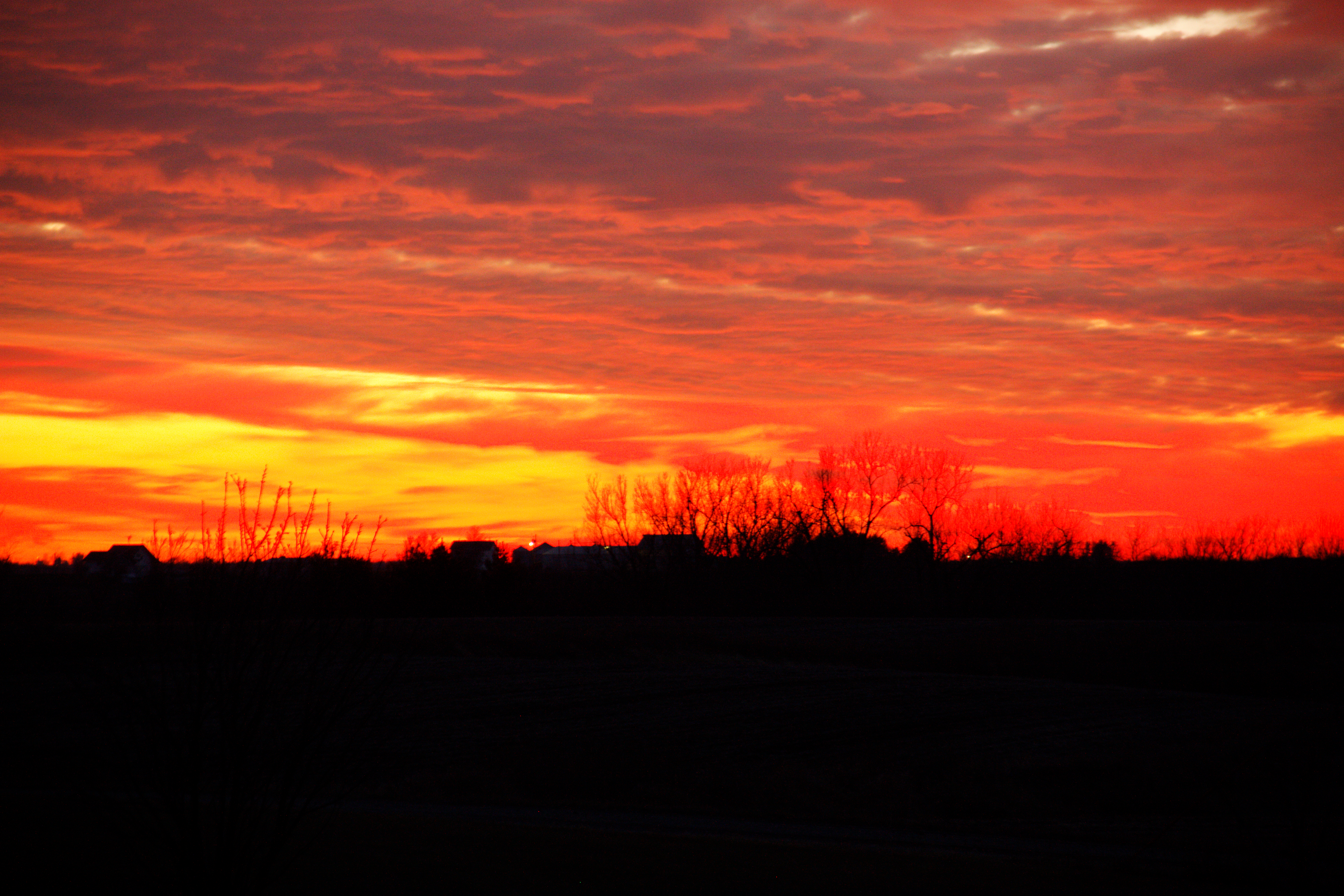
Sunsets Fire 3
Sunsets Fire 1

Sunsets Fire 5
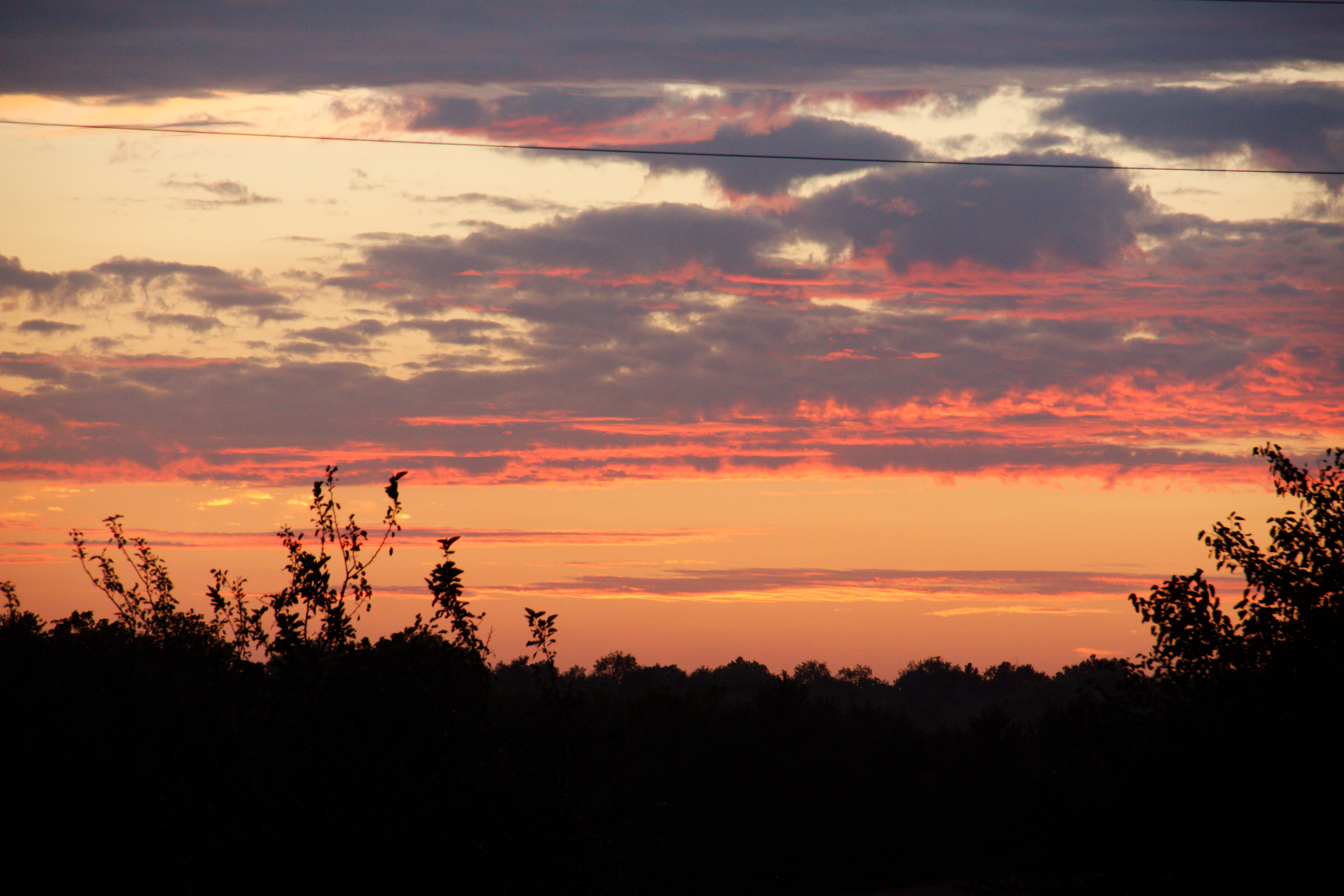
Fall Sunset

Sunsets Fire 2

Sunsets Fire 4

Belva-Deer Recreation Area
Topographic Map of Sigourney, IA, USA
Find elevation by address:

Places in Sigourney, IA, USA:
Places near Sigourney, IA, USA:
Keokuk County
Main St, Hayesville, IA, USA
Hayesville
IA-, Sigourney, IA, USA
Us Post Office
Sigourney
303 E Pleasant Valley St
303 E Pleasant Valley St
West Lancaster
303 E Jackson St
Washington
East Briney Street, What Cheer, IA, USA
What Cheer
Lake Belva Deer
S Irons St, Keswick, IA, USA
Keswick
Adams
E Main St, Fremont, IA, USA
Fremont
th St, North English, IA, USA
Recent Searches:
- Elevation of Côte-des-Neiges, Montreal, QC H4A 3J6, Canada
- Elevation of Bobcat Dr, Helena, MT, USA
- Elevation of Zu den Ihlowbergen, Althüttendorf, Germany
- Elevation of Badaber, Peshawar, Khyber Pakhtunkhwa, Pakistan
- Elevation of SE Heron Loop, Lincoln City, OR, USA
- Elevation of Slanický ostrov, 01 Námestovo, Slovakia
- Elevation of Spaceport America, Co Rd A, Truth or Consequences, NM, USA
- Elevation of Warwick, RI, USA
- Elevation of Fern Rd, Whitmore, CA, USA
- Elevation of 62 Abbey St, Marshfield, MA, USA