Elevation of Sigourney, IA, USA
Location: United States > Iowa > Keokuk County > Sigourney >
Longitude: -92.204625
Latitude: 41.3333445
Elevation: 243m / 797feet
Barometric Pressure: 98KPa
Elevation Map:
Satellite Map:
Related Photos:
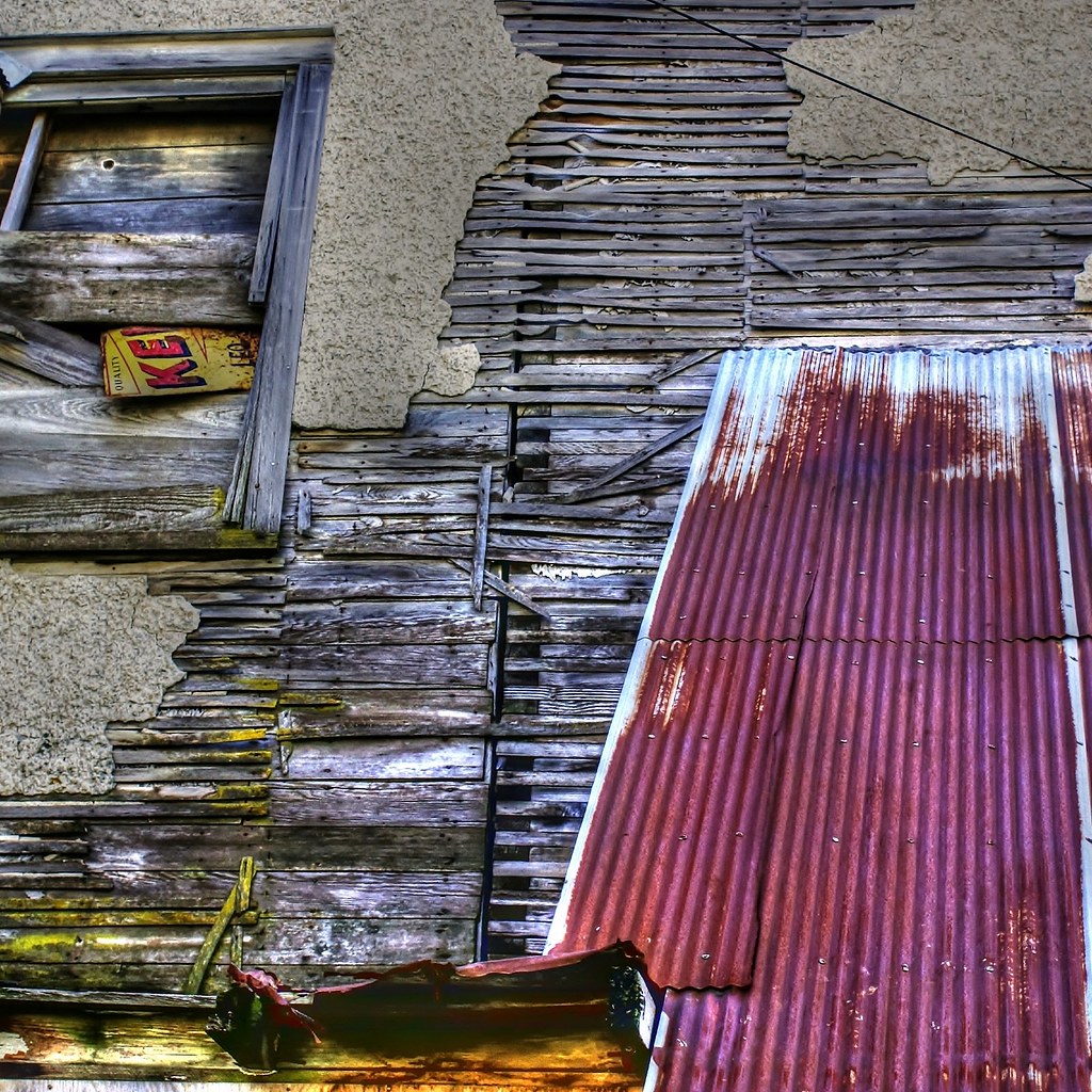
Deconstruction by time
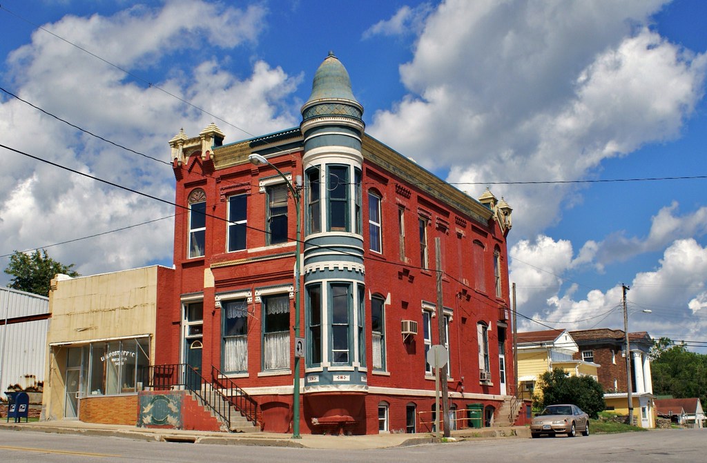
Standing on the corner . . . for a very long time

Delta Grocery

What Cheer, Iowa - Water Tower

Belva-Deer Recreation Area

Belva-Deer Recreation Area

Belva-Deer Recreation Area

Sunsets Fire 3

Sunsets Fire 1

Sunsets Fire 5
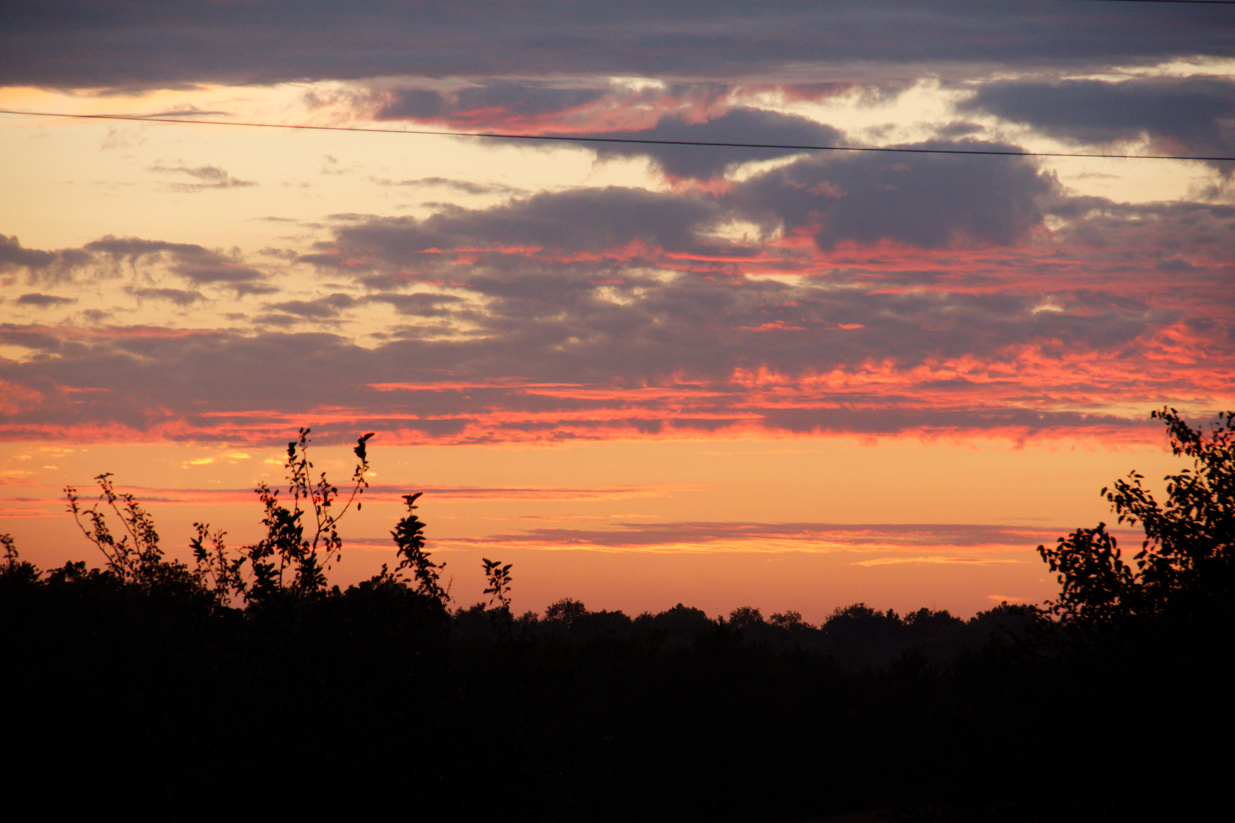
Fall Sunset

Sunsets Fire 2

Sunsets Fire 4

Belva-Deer Recreation Area
Topographic Map of Sigourney, IA, USA
Find elevation by address:

Places in Sigourney, IA, USA:
Places near Sigourney, IA, USA:
Us Post Office
303 E Pleasant Valley St
303 E Pleasant Valley St
303 E Jackson St
Keokuk County
IA-, Sigourney, IA, USA
West Lancaster
Sigourney
Hayesville
Main St, Hayesville, IA, USA
Lake Belva Deer
S Irons St, Keswick, IA, USA
Keswick
Washington
Adams
East Briney Street, What Cheer, IA, USA
What Cheer
Lafayette
th St, North English, IA, USA
S Highland St, North English, IA, USA
Recent Searches:
- Elevation of W Granada St, Tampa, FL, USA
- Elevation of Pykes Down, Ivybridge PL21 0BY, UK
- Elevation of Jalan Senandin, Lutong, Miri, Sarawak, Malaysia
- Elevation of Bilohirs'k
- Elevation of 30 Oak Lawn Dr, Barkhamsted, CT, USA
- Elevation of Luther Road, Luther Rd, Auburn, CA, USA
- Elevation of Unnamed Road, Respublika Severnaya Osetiya — Alaniya, Russia
- Elevation of Verkhny Fiagdon, North Ossetia–Alania Republic, Russia
- Elevation of F. Viola Hiway, San Rafael, Bulacan, Philippines
- Elevation of Herbage Dr, Gulfport, MS, USA