Elevation of Hayesville, IA, USA
Location: United States > Iowa > Keokuk County > West Lancaster >
Longitude: -92.249071
Latitude: 41.2644569
Elevation: 242m / 794feet
Barometric Pressure: 98KPa
Elevation Map:
Satellite Map:
Related Photos:
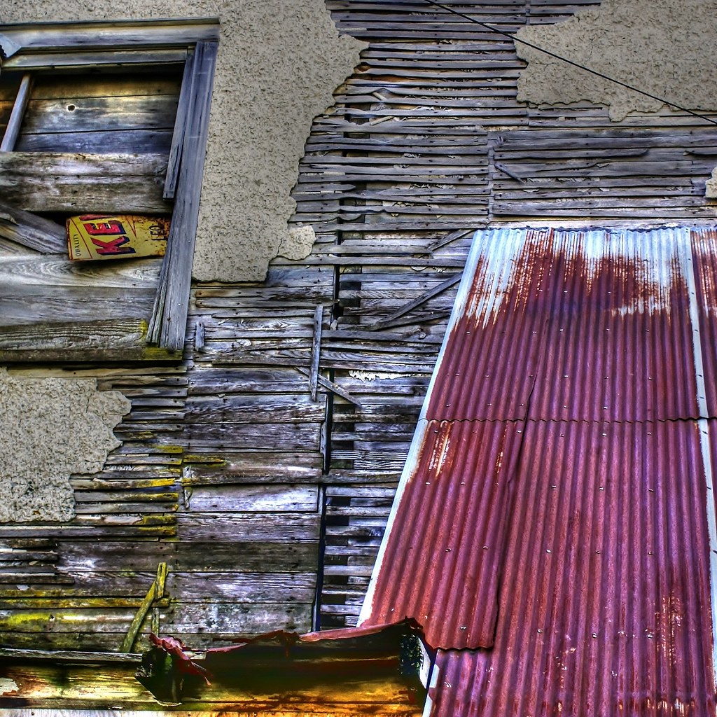
Deconstruction by time

Delta Grocery
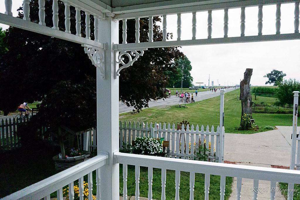
View from Victorian Porch. Martinsburg, Iowa.
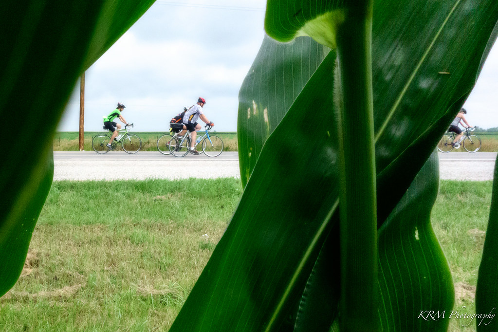
Corn's Eye View.

Belva-Deer Recreation Area

Belva-Deer Recreation Area

RAGBRAI 2016

RAGBRAI 2016

RAGBRAI 2016
First National Bank Hedrick, IA3
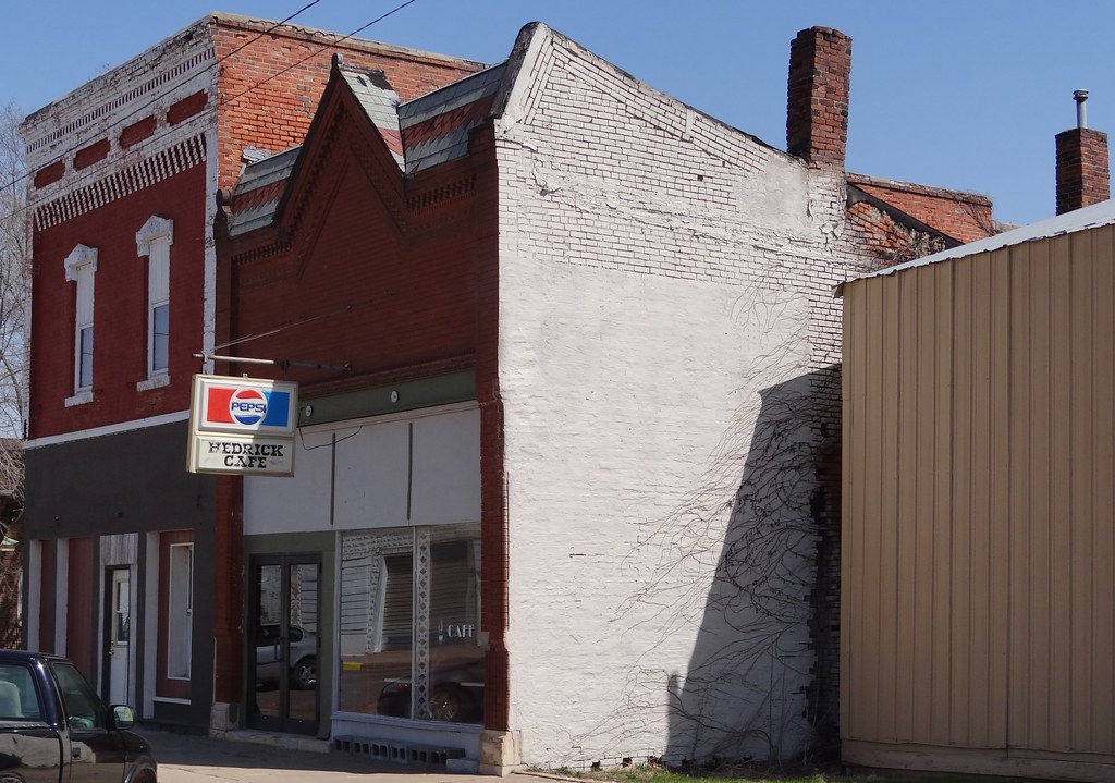
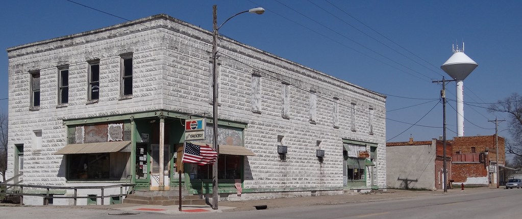
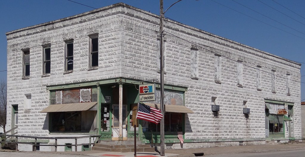
Store Hedrick, IA
Gothic Hedrick, IA2
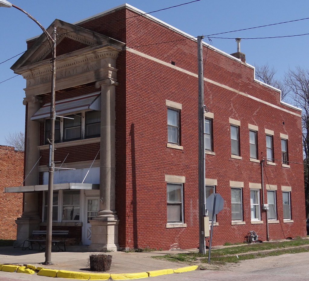
Hedrick State Bank Hedrick, IA2
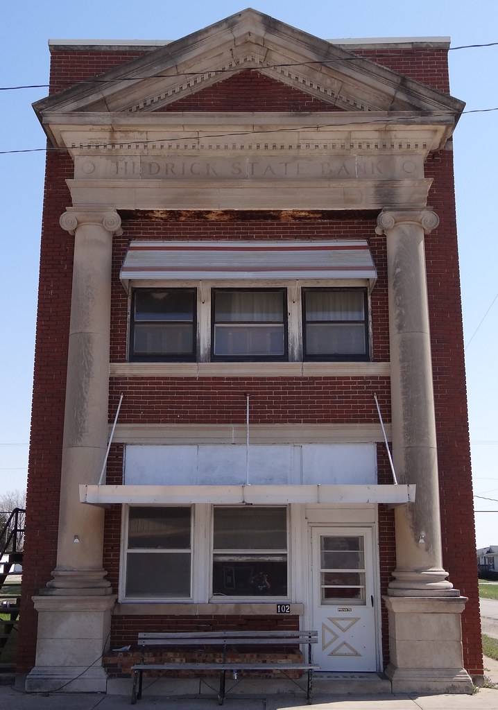
Hedrick State Bank Hedrick, IA
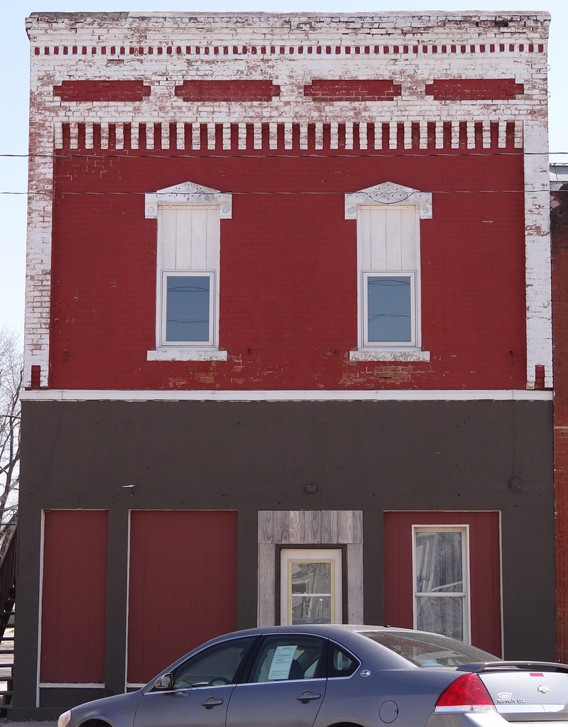
Gothic Hedrick, IA
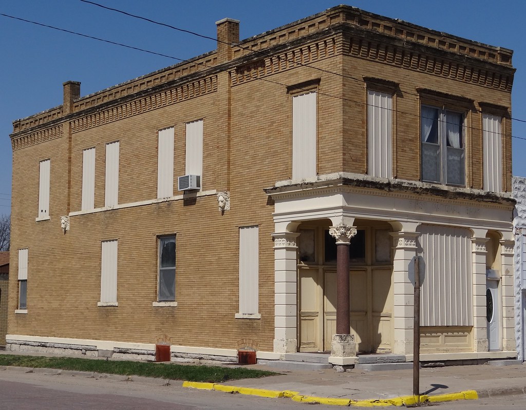
First National Bank Hedrick, IA2

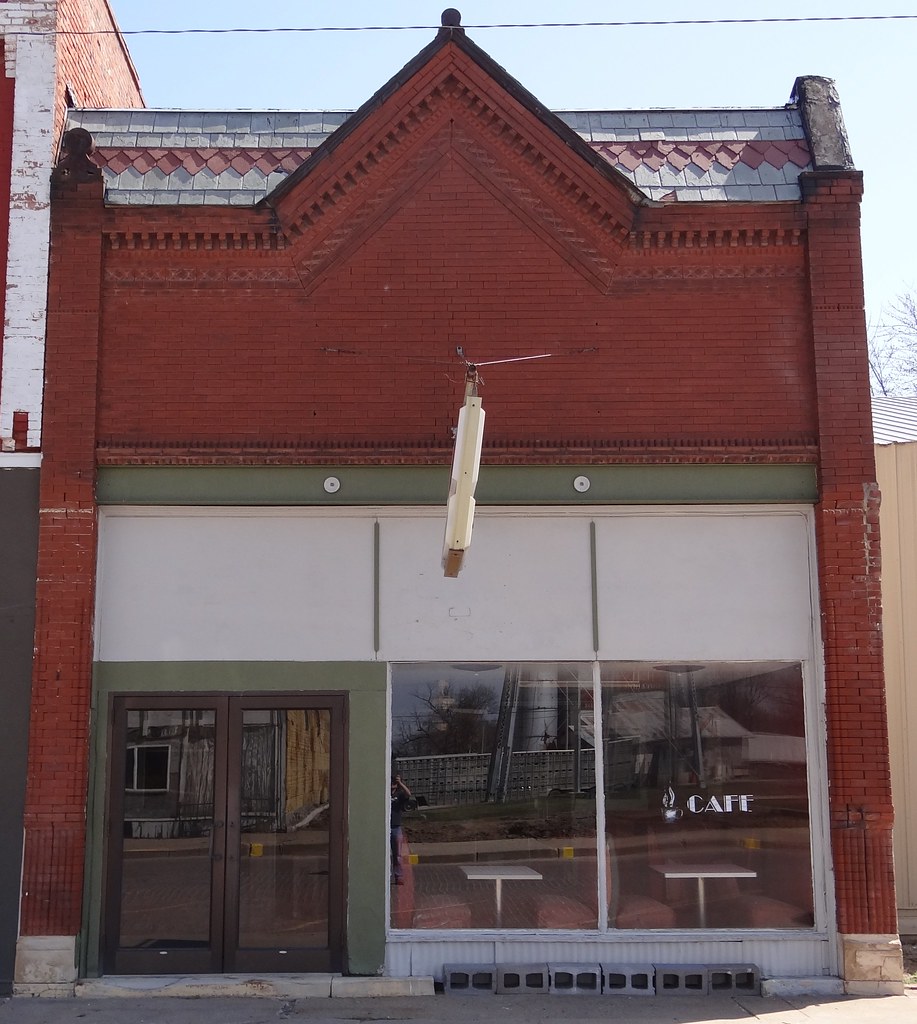
Post Office Hayesville, IA2

Post Office Hayesville, IA
Downtown Delta, IA
Reed & Dunn Delta, IA2

City Hall Delta, IA2

The old roadside Iowa

Keokuk County Barn

Four Rivers Coon Hunters Association
Lake Belva- Deer Camping

Marcy Carlson

Belva-Deer Recreation Area
Topographic Map of Hayesville, IA, USA
Find elevation by address:

Places in Hayesville, IA, USA:
Places near Hayesville, IA, USA:
Main St, Hayesville, IA, USA
Sigourney
West Lancaster
IA-, Sigourney, IA, USA
Keokuk County
303 E Pleasant Valley St
303 E Pleasant Valley St
Us Post Office
Sigourney
303 E Jackson St
Washington
Lake Belva Deer
East Briney Street, What Cheer, IA, USA
What Cheer
S Irons St, Keswick, IA, USA
Keswick
E Main St, Fremont, IA, USA
Fremont
Adams
Bladensburg Rd, Batavia, IA, USA
Recent Searches:
- Elevation of Congressional Dr, Stevensville, MD, USA
- Elevation of Bellview Rd, McLean, VA, USA
- Elevation of Stage Island Rd, Chatham, MA, USA
- Elevation of Shibuya Scramble Crossing, 21 Udagawacho, Shibuya City, Tokyo -, Japan
- Elevation of Jadagoniai, Kaunas District Municipality, Lithuania
- Elevation of Pagonija rock, Kranto 7-oji g. 8"N, Kaunas, Lithuania
- Elevation of Co Rd 87, Jamestown, CO, USA
- Elevation of Tenjo, Cundinamarca, Colombia
- Elevation of Côte-des-Neiges, Montreal, QC H4A 3J6, Canada
- Elevation of Bobcat Dr, Helena, MT, USA