Elevation of East Briney Street, What Cheer, IA, USA
Location: United States > Iowa > Keokuk County > Washington > What Cheer >
Longitude: -92.353353
Latitude: 41.4013719
Elevation: 235m / 771feet
Barometric Pressure: 99KPa
Elevation Map:
Satellite Map:
Related Photos:
Deconstruction by time

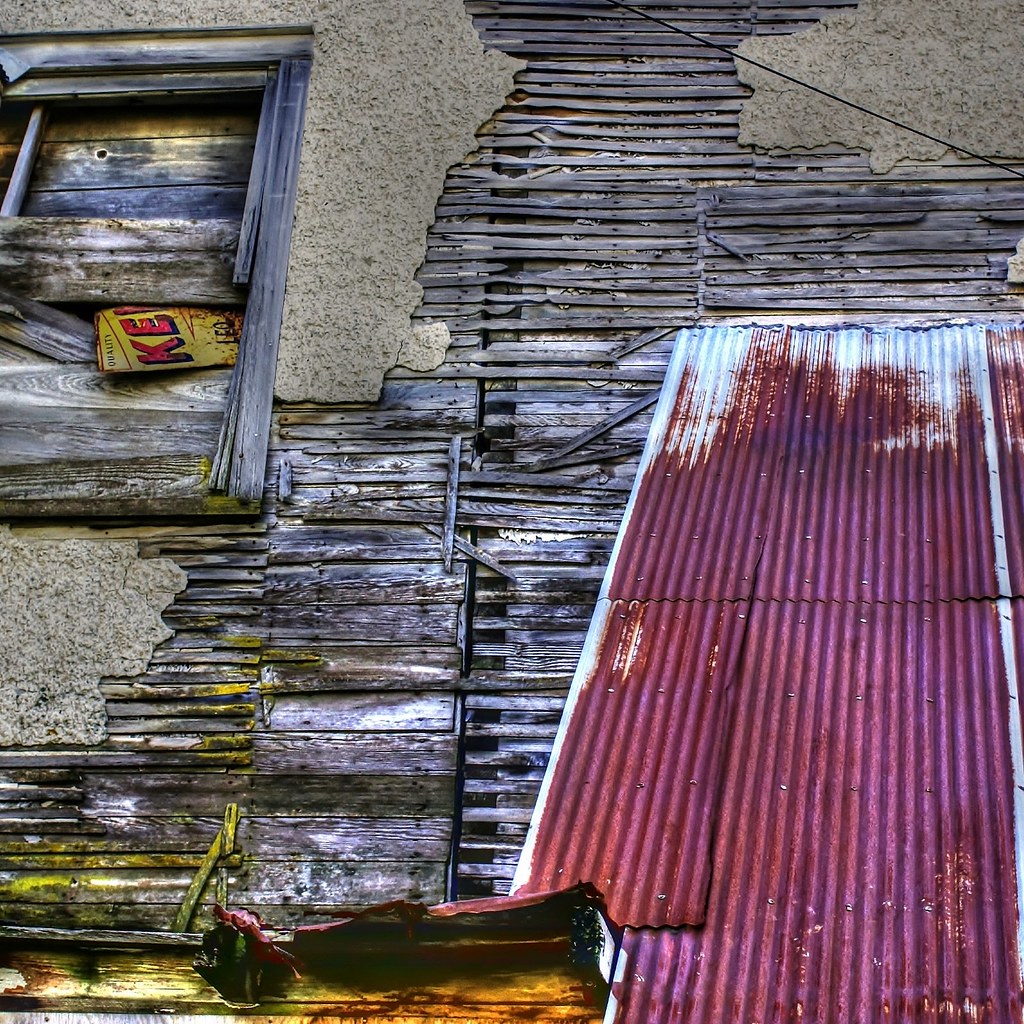
Delta Grocery
Standing on the corner . . . for a very long time

North Skunk River

What Cheer, Iowa - Water Tower

Sunsets Fire 2

Sunsets Fire 1

Sunsets Fire 3

Sunsets Fire 5

Fall Sunset

Sunsets Fire 4
Topographic Map of East Briney Street, What Cheer, IA, USA
Find elevation by address:

Places near East Briney Street, What Cheer, IA, USA:
What Cheer
Washington
S Irons St, Keswick, IA, USA
Keswick
Adams
Sigourney
Keokuk County
Pleasant Grove
Deep River
Barnes City
Broadway St, Barnes City, IA, USA
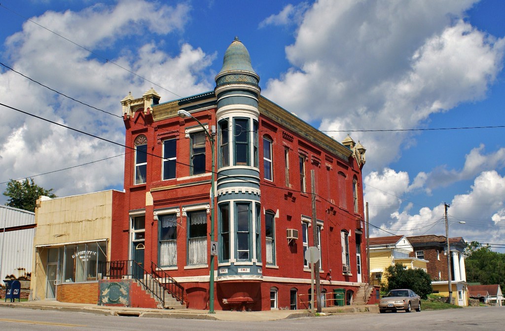
Us Post Office
Sigourney
303 E Jackson St
303 E Pleasant Valley St
303 E Pleasant Valley St
Main St, Hayesville, IA, USA
Hayesville
IA-, Sigourney, IA, USA
Main St, Deep River, IA, USA
Recent Searches:
- Elevation of Beall Road, Beall Rd, Florida, USA
- Elevation of Leguwa, Nepal
- Elevation of County Rd, Enterprise, AL, USA
- Elevation of Kolchuginsky District, Vladimir Oblast, Russia
- Elevation of Shustino, Vladimir Oblast, Russia
- Elevation of Lampiasi St, Sarasota, FL, USA
- Elevation of Elwyn Dr, Roanoke Rapids, NC, USA
- Elevation of Congressional Dr, Stevensville, MD, USA
- Elevation of Bellview Rd, McLean, VA, USA
- Elevation of Stage Island Rd, Chatham, MA, USA