Elevation of Whale Peak, California, USA
Location: United States > California > San Diego County > Borrego Springs >
Longitude: -116.31612
Latitude: 33.0292139
Elevation: 1548m / 5079feet
Barometric Pressure: 84KPa
Elevation Map:
Satellite Map:
Related Photos:
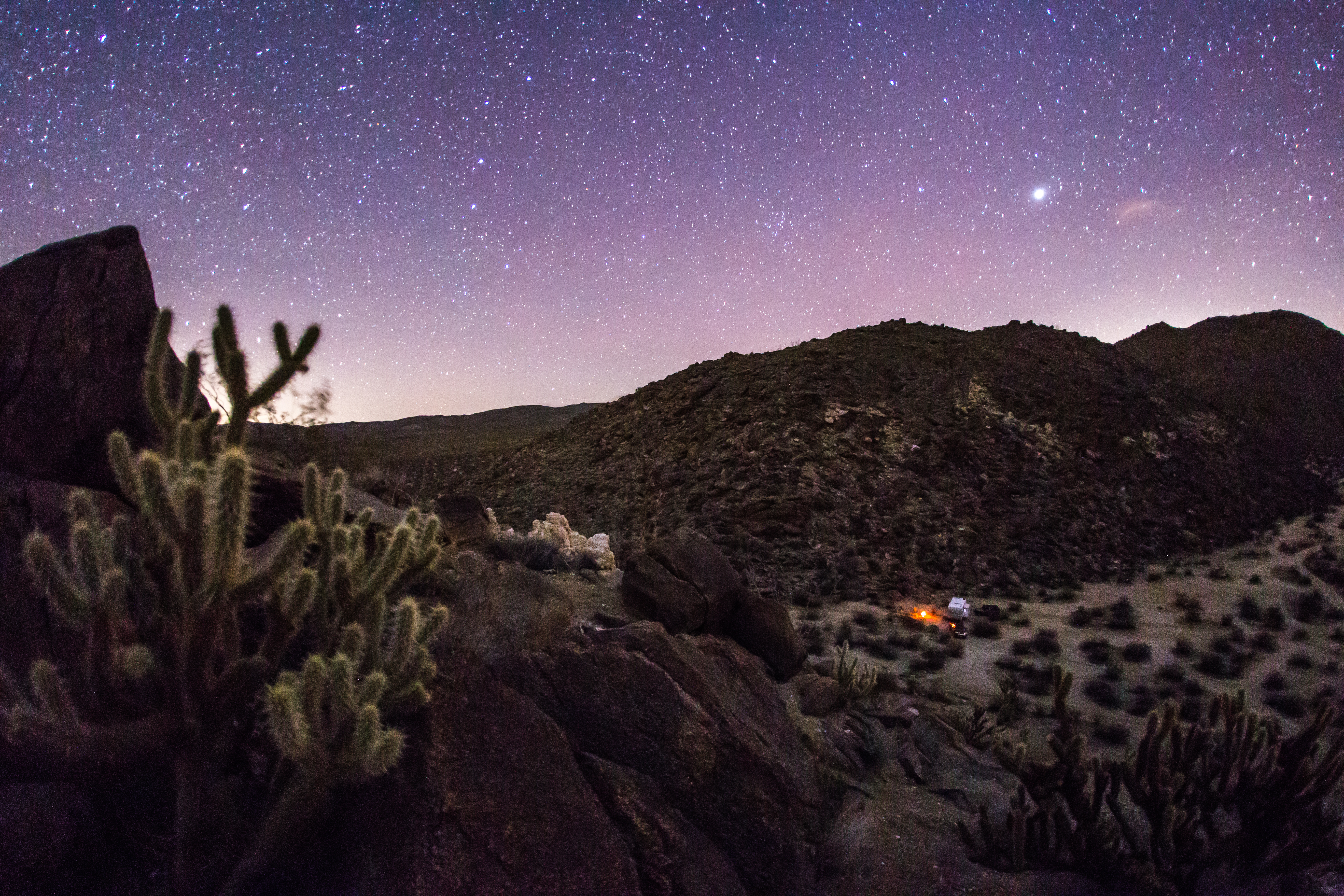
Nighttime view of my campsite in the Blair Valley area of Anza-Borrego Desert State Park
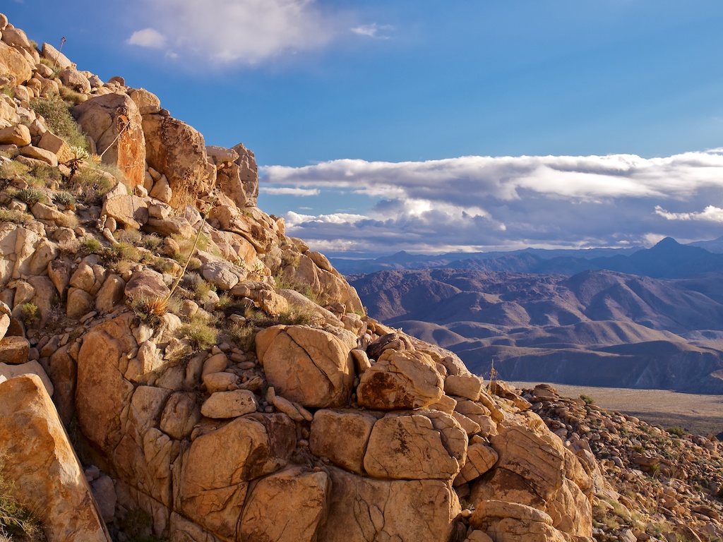
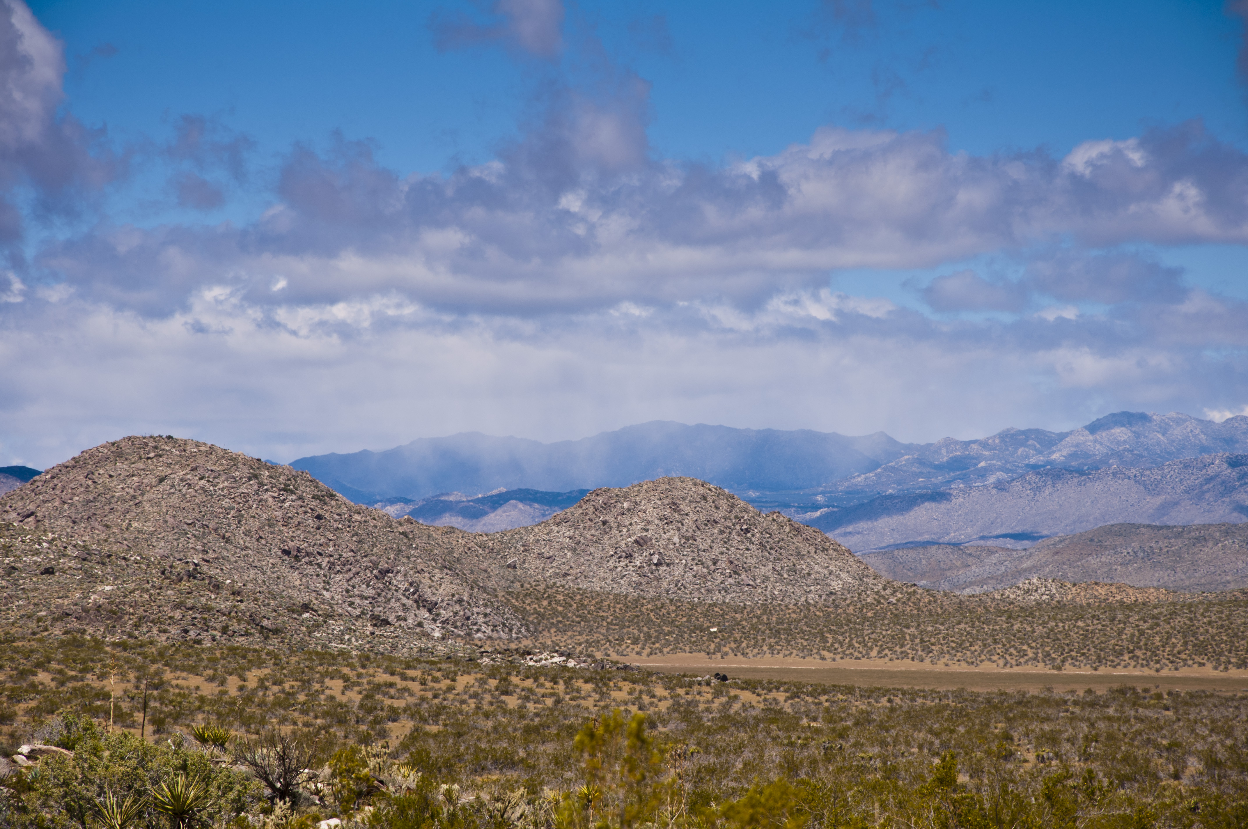
Anza-Borrego Desert State Park, View of Carrizo Valley

Come here
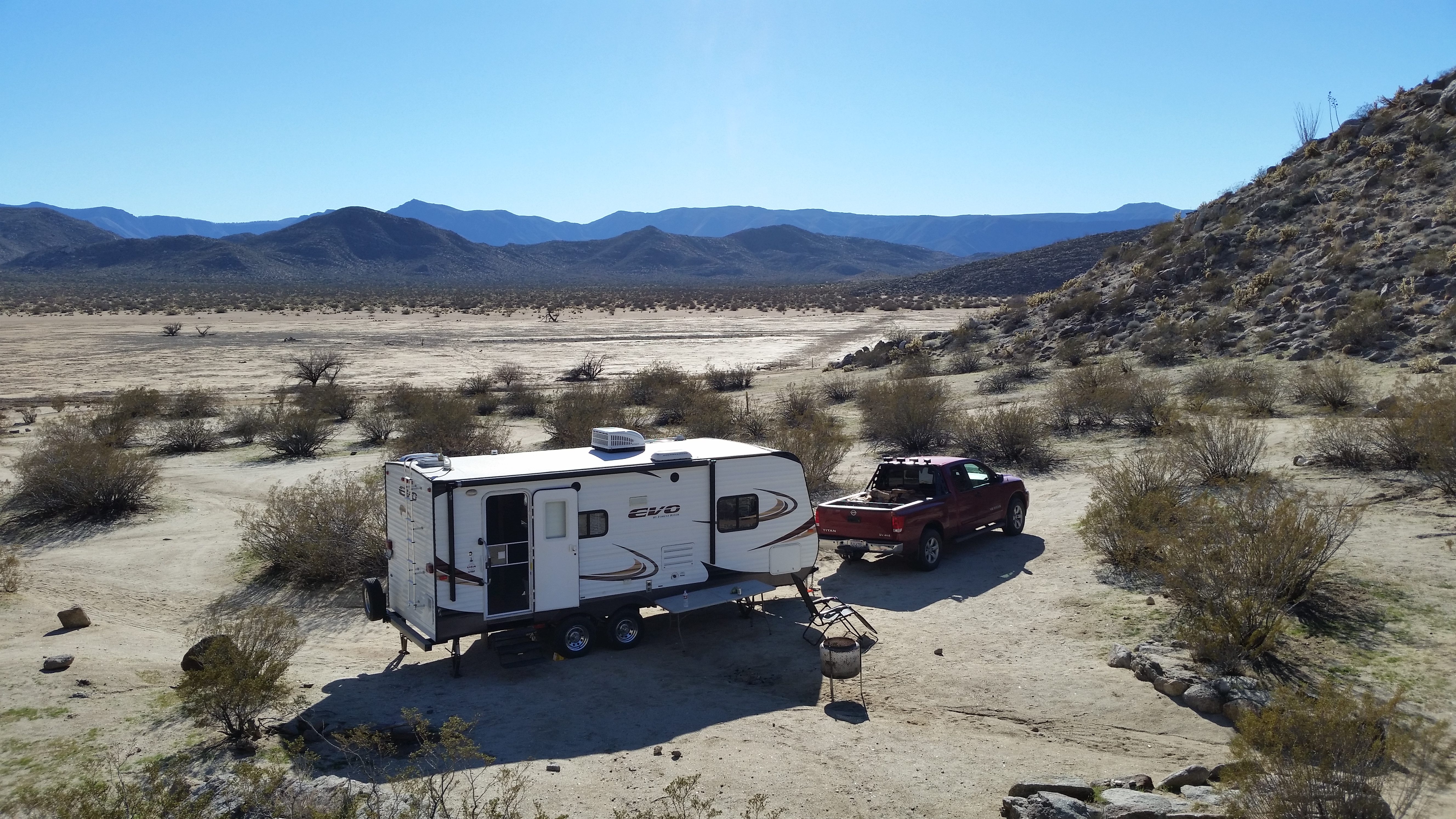
Another view of my campsite. Blair Valley dry lake bed in the background.
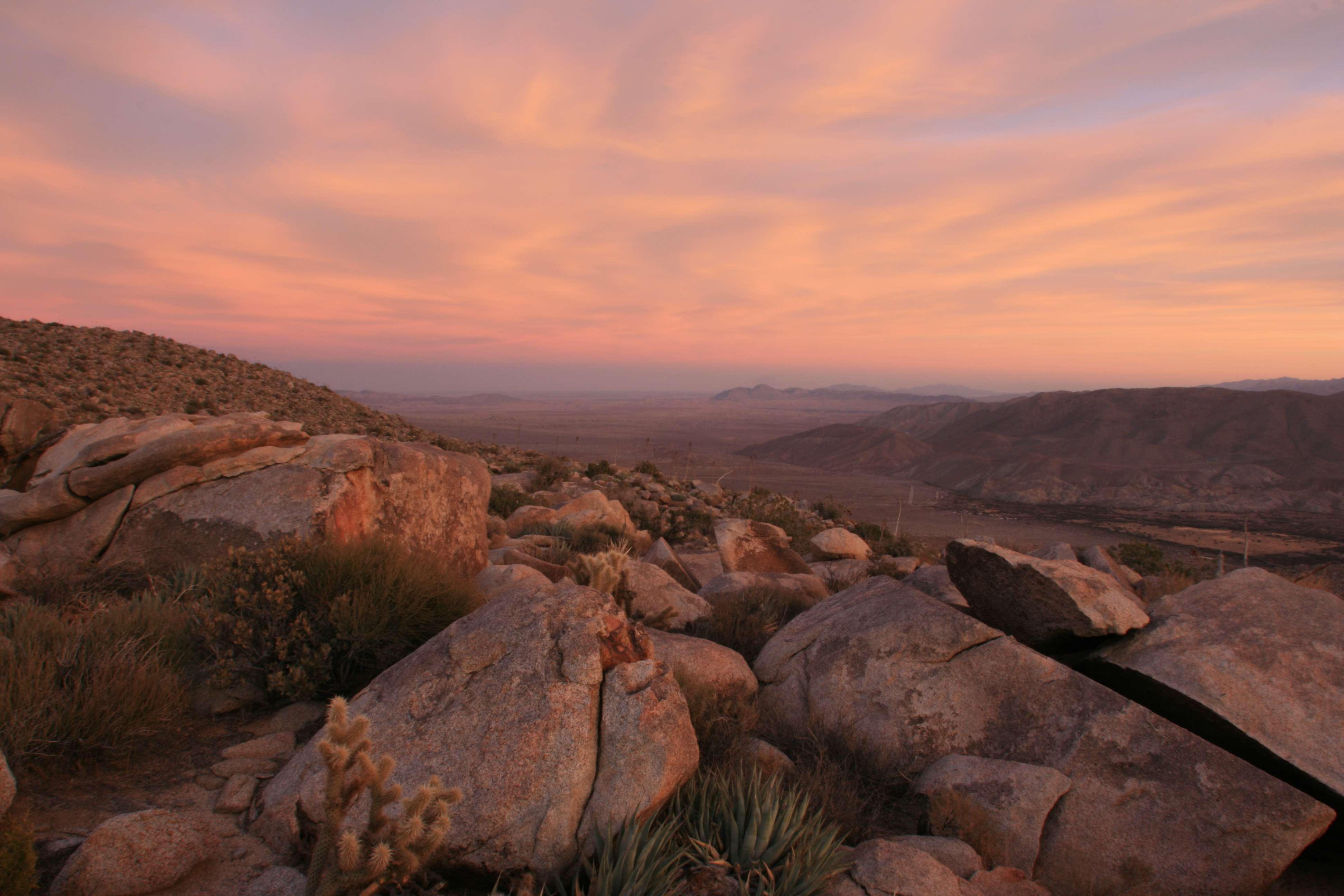
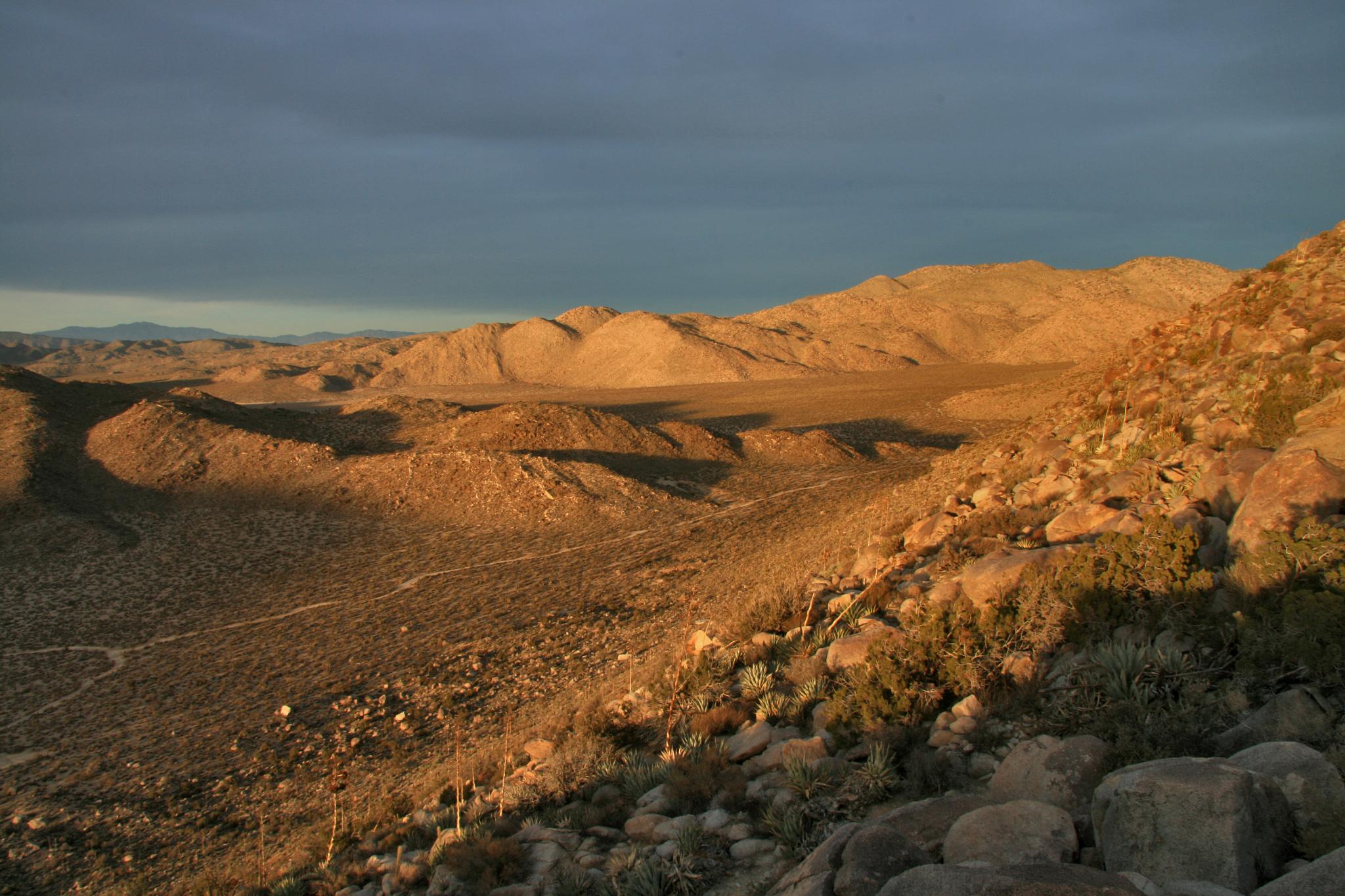
After-sunset view form atop Ghost Mountain / Yaquitepec
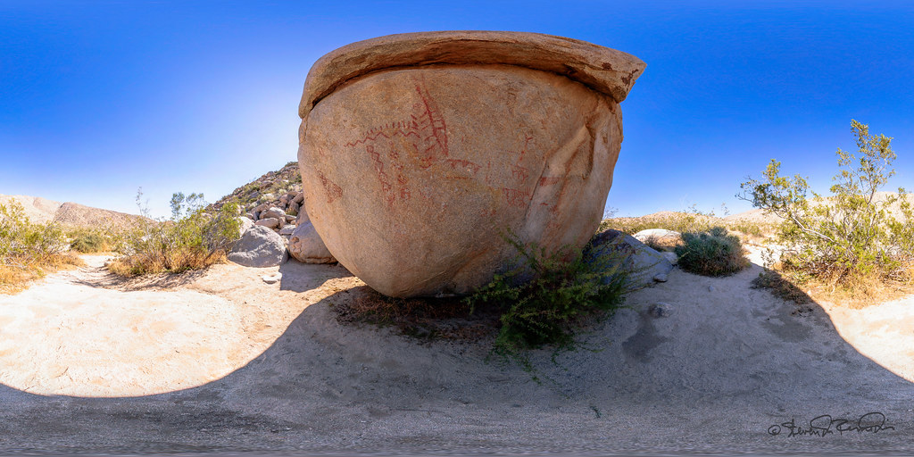
Pictograph - Anza Borrego Desert
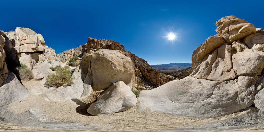
Dry Waterfall
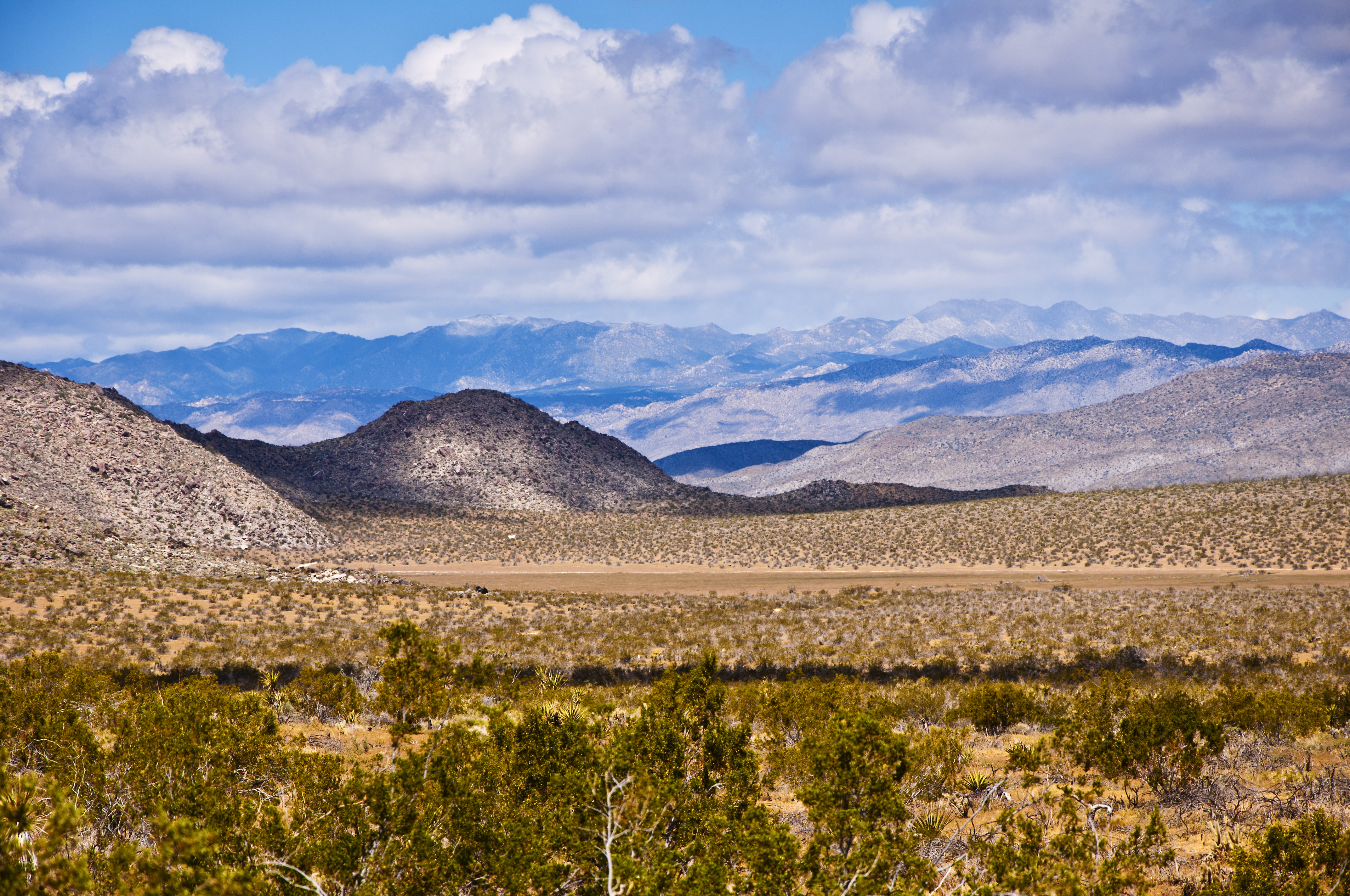
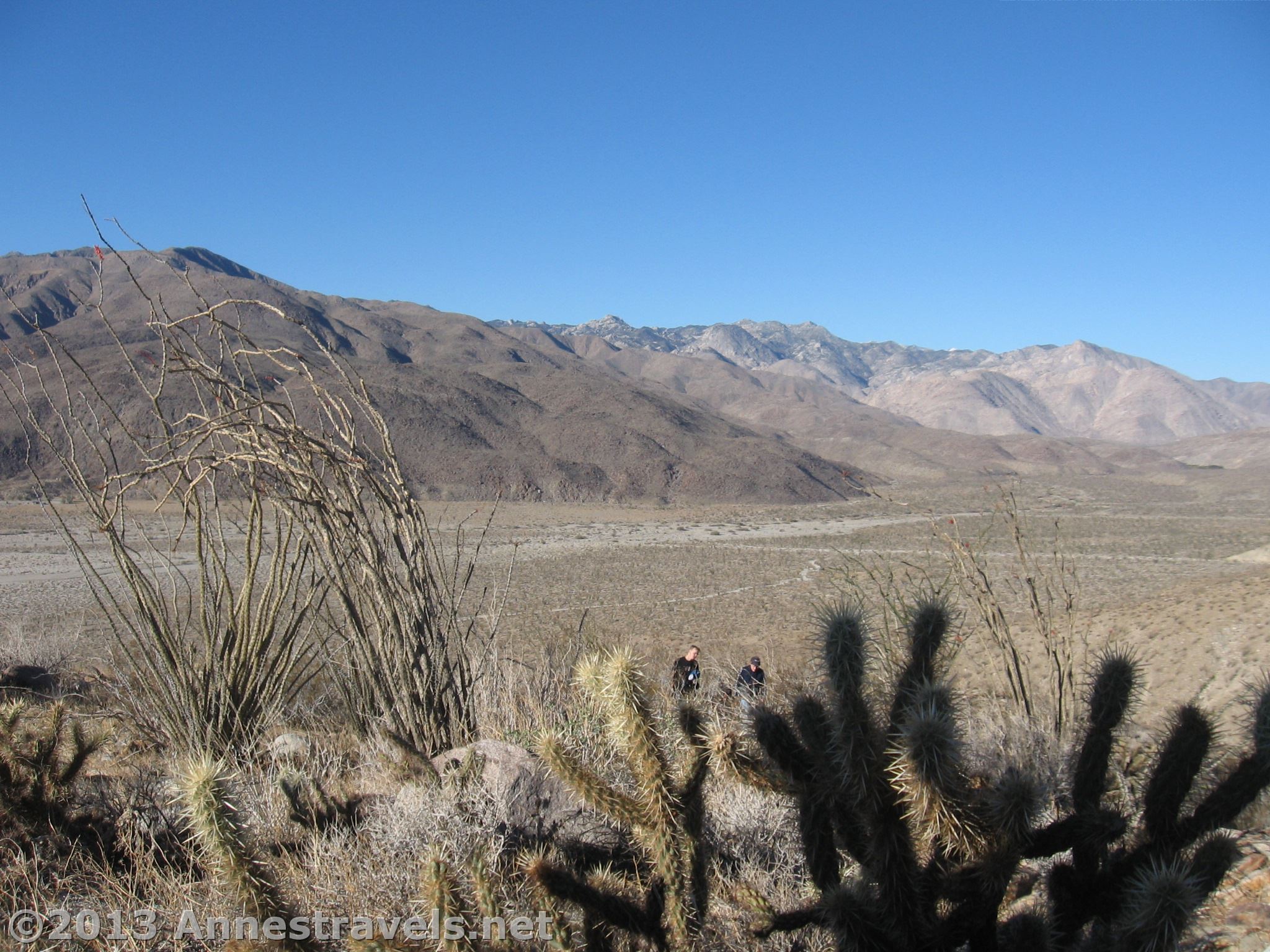
Blair Valley View
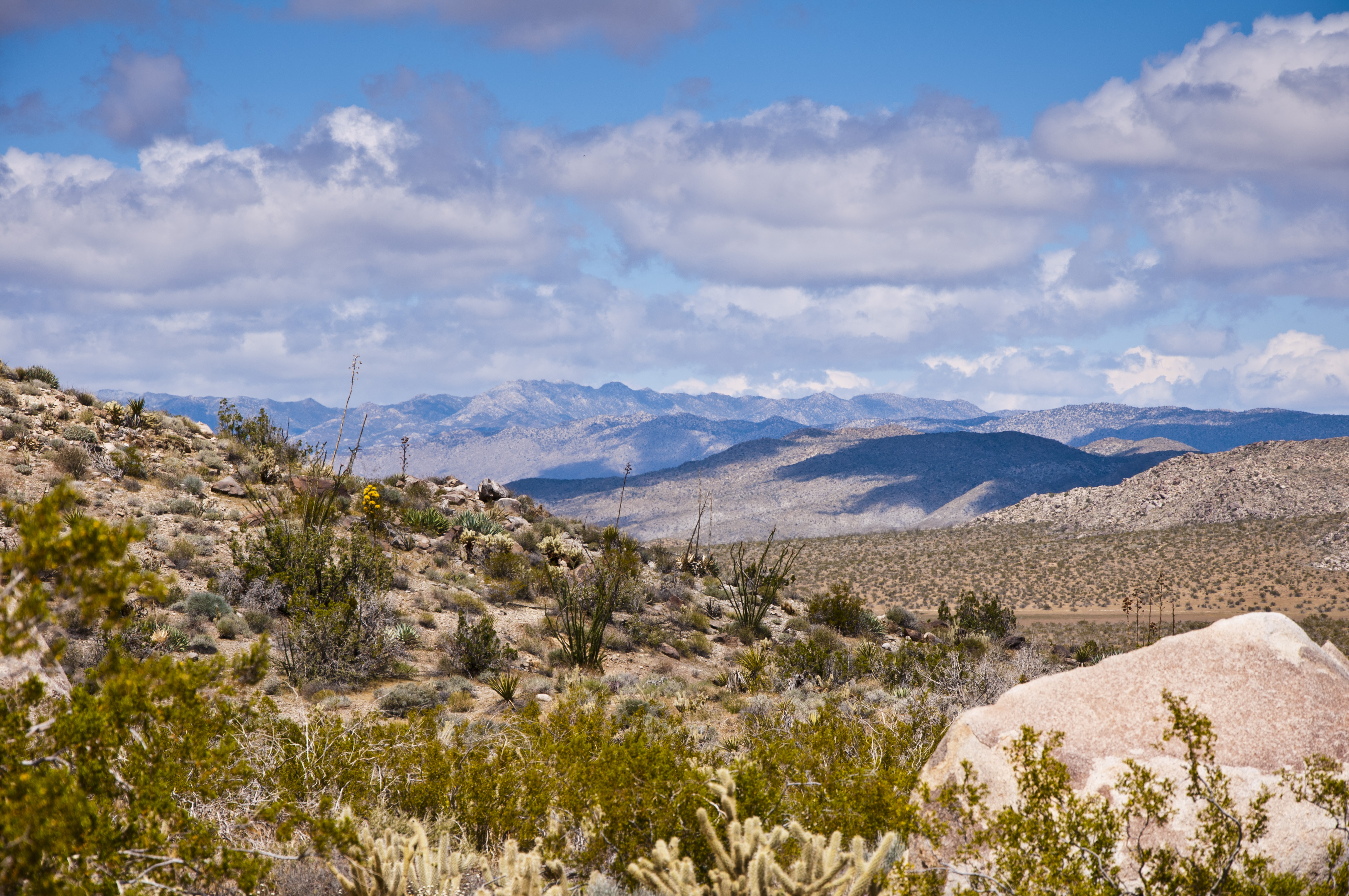
Blair Valley View
Blair Valley Desert Rain Shower
Bill Kenyon Area
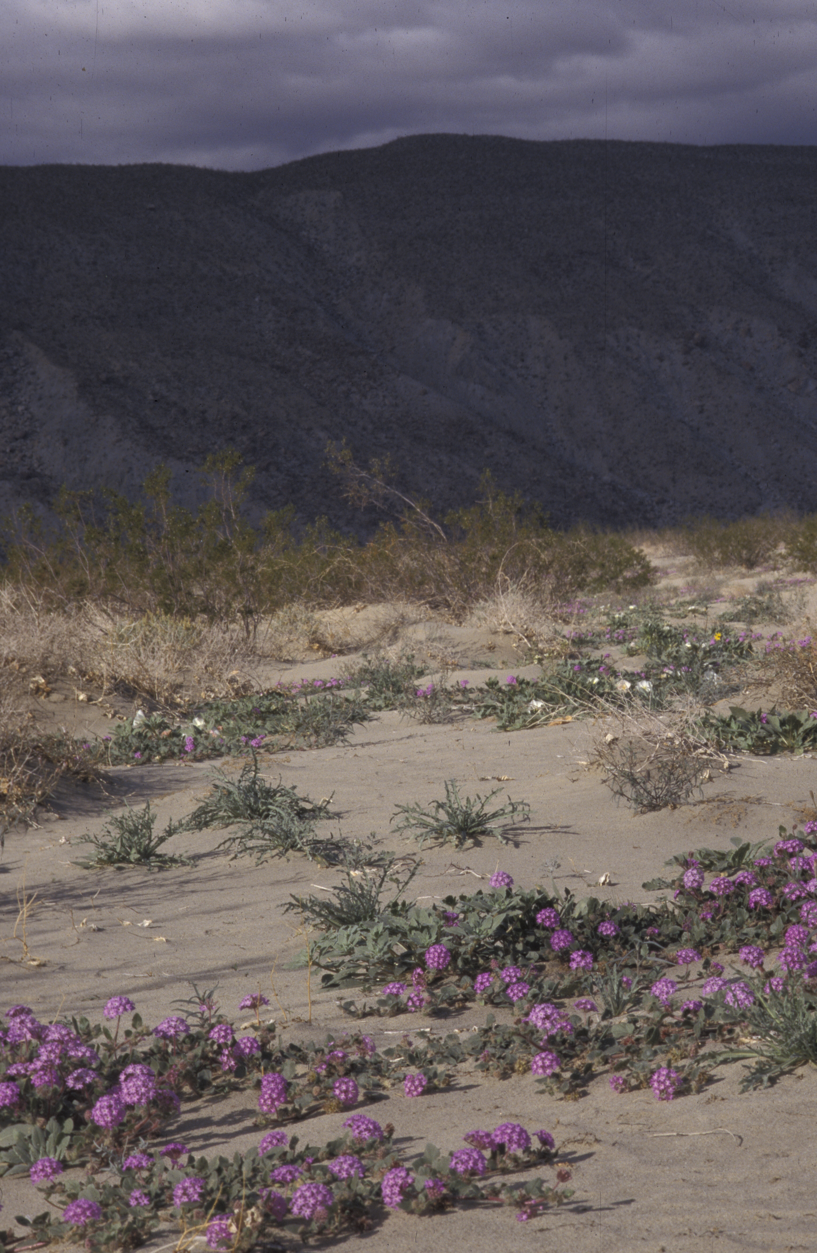
desert wildflowers, Anza Borego, CA 1998_01_02 001.jpg
view north
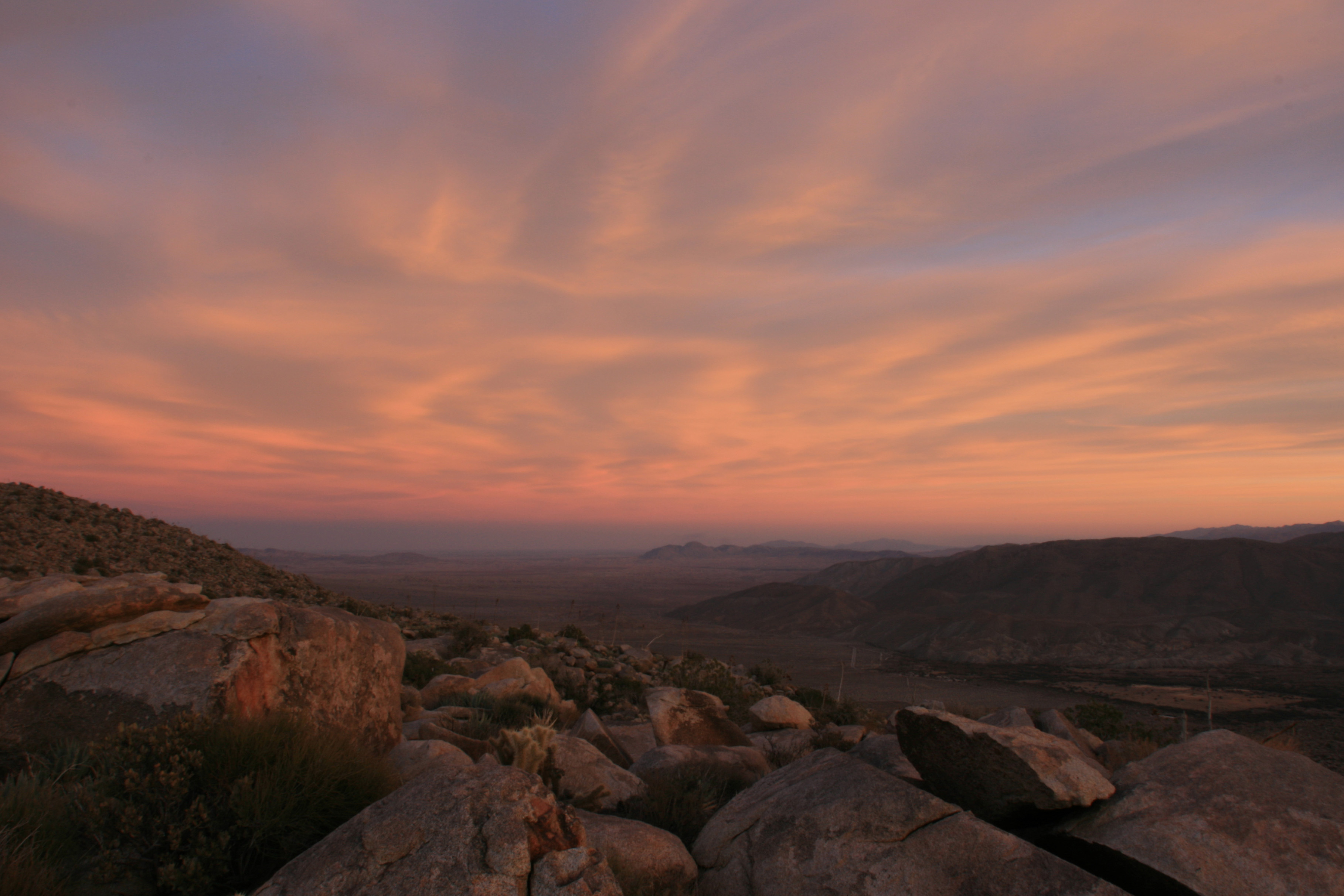
After-sunset view form atop Ghost Mountain / Yaquitepec
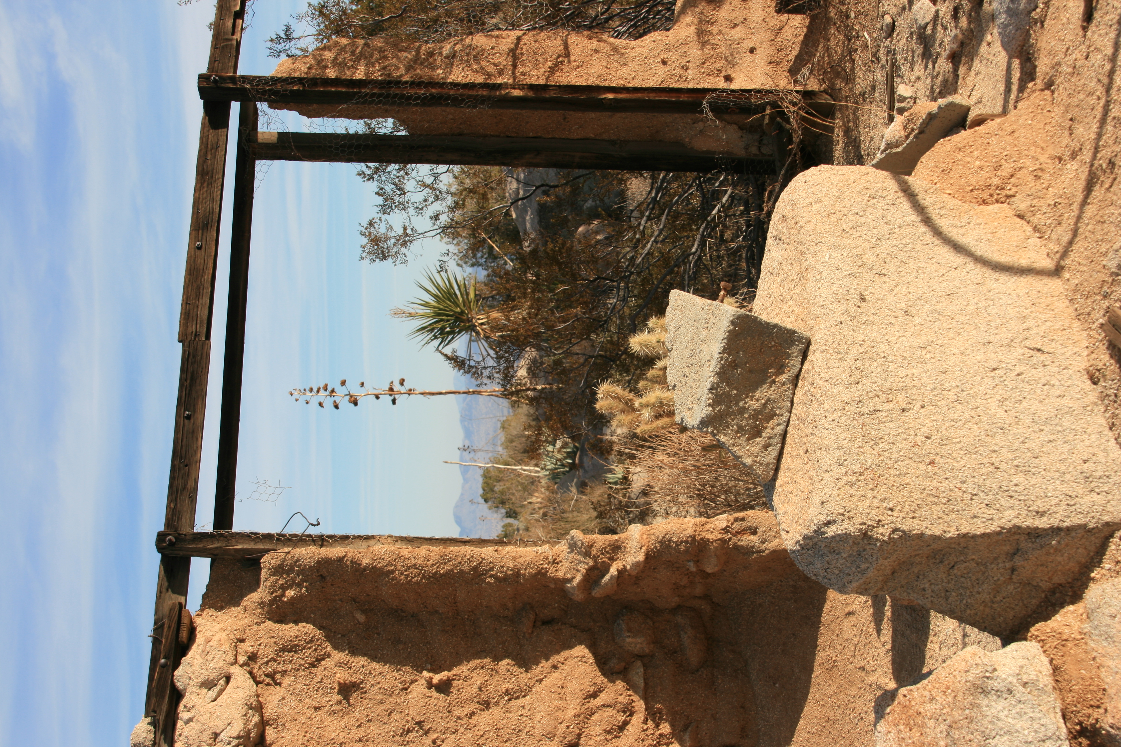
View through a door frame of the Marshal South house
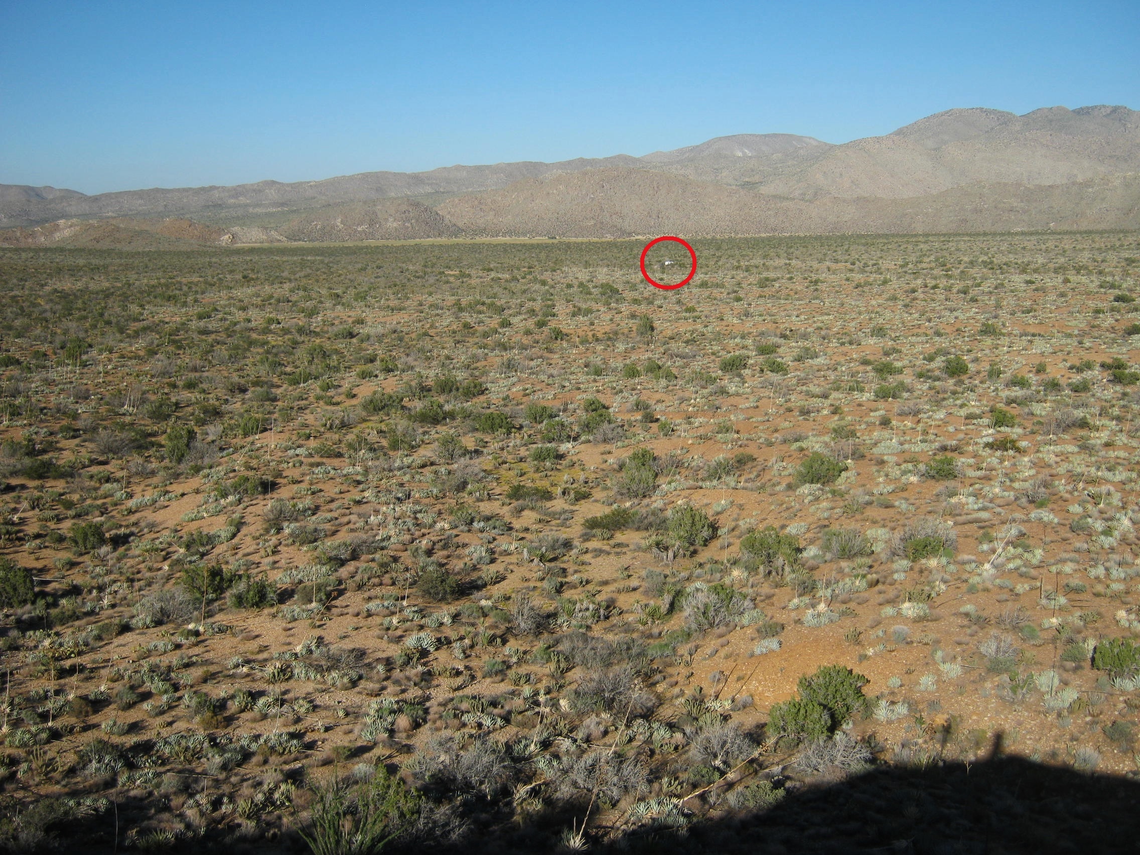
Our trailer (white dot - red circle center) from hill to the southwest - I guess it was half a mile away -- 10-3-2013 g For a larger view LEFT CLICK ON THE IMAGE

View of Blair Valley from atop Ghost Mountain
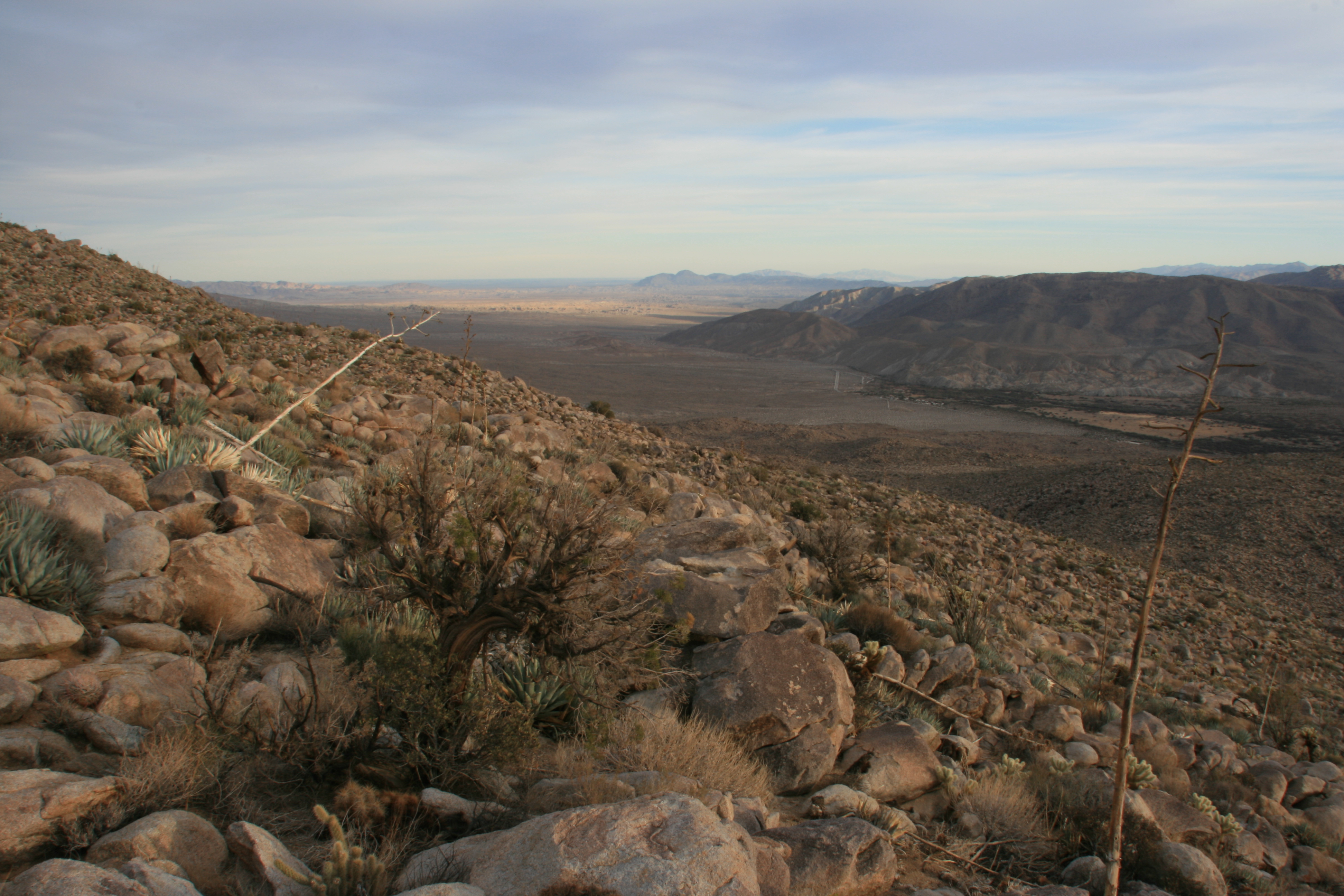
View from atop Ghost Mountain / Yaquitepec
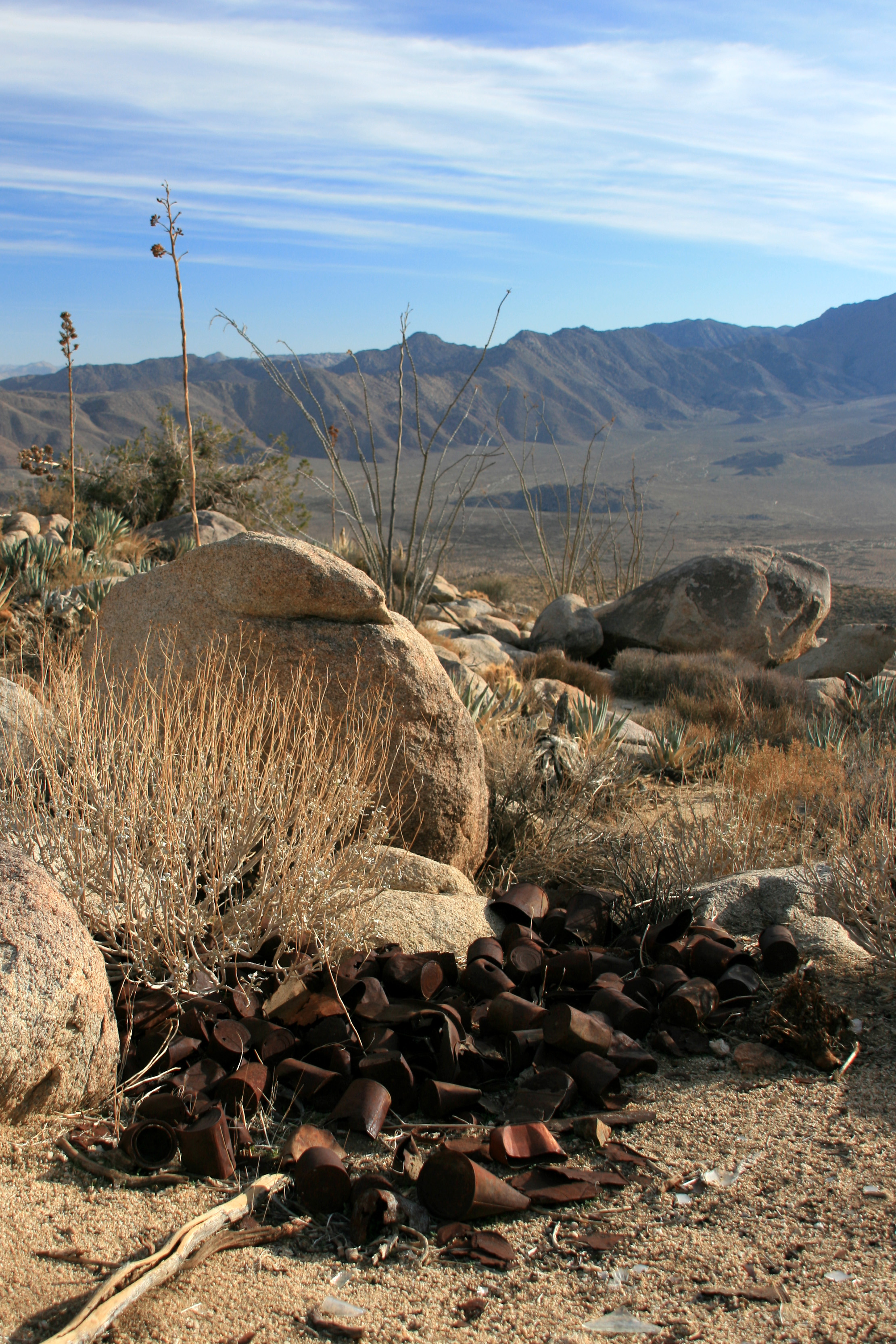
Mountaintop view and remains of tin cans discarded long ago by Marshal South and family
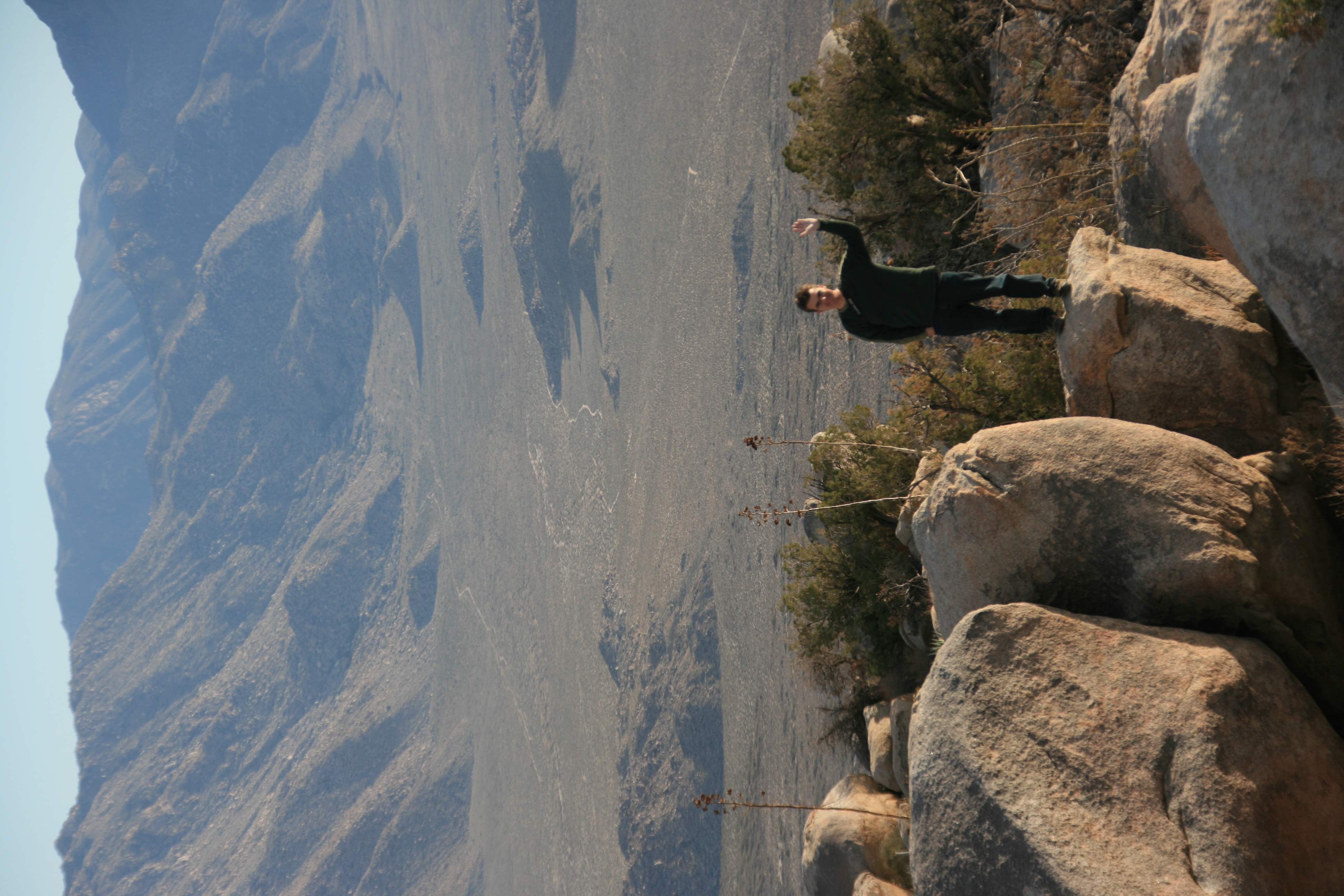
View from atop Ghost Mountain / Yaquitepec
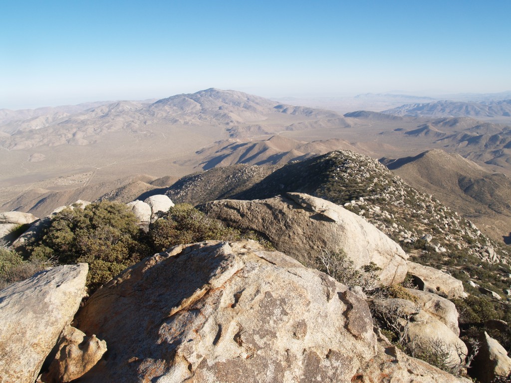
189 Granite Mountain Summit view east to Whale Peak
Topographic Map of Whale Peak, California, USA
Find elevation by address:

Places near Whale Peak, California, USA:
Tamarisk Grove Campground
Shelter Valley Citizens Co-op
778 Surrey Trail
834 Wells Fargo Trail
350 Canebrake Rd
475 Canyon Rd
495 Canyon Rd
Yaqui Pass Road
Monument Peak
Scissors Crossing
Julian, CA, USA
3900 Desert Dr
3900 Desert Dr
1674 Zuni Trail
1674 Zuni Trail
Borrego Springs Rd, Borrego Springs, CA, USA
Mount Laguna
Monument Peak Road
Slot Canyon Trail
Sunrise Highway
Recent Searches:
- Elevation of Corso Fratelli Cairoli, 35, Macerata MC, Italy
- Elevation of Tallevast Rd, Sarasota, FL, USA
- Elevation of 4th St E, Sonoma, CA, USA
- Elevation of Black Hollow Rd, Pennsdale, PA, USA
- Elevation of Oakland Ave, Williamsport, PA, USA
- Elevation of Pedrógão Grande, Portugal
- Elevation of Klee Dr, Martinsburg, WV, USA
- Elevation of Via Roma, Pieranica CR, Italy
- Elevation of Tavkvetili Mountain, Georgia
- Elevation of Hartfords Bluff Cir, Mt Pleasant, SC, USA