Elevation of Sunrise Highway, Sunrise Hwy, Mt Laguna, CA, USA
Location: United States > California > San Diego County > Mount Laguna >
Longitude: -116.44167
Latitude: 32.8895482
Elevation: 1714m / 5623feet
Barometric Pressure: 82KPa
Elevation Map:
Satellite Map:
Related Photos:
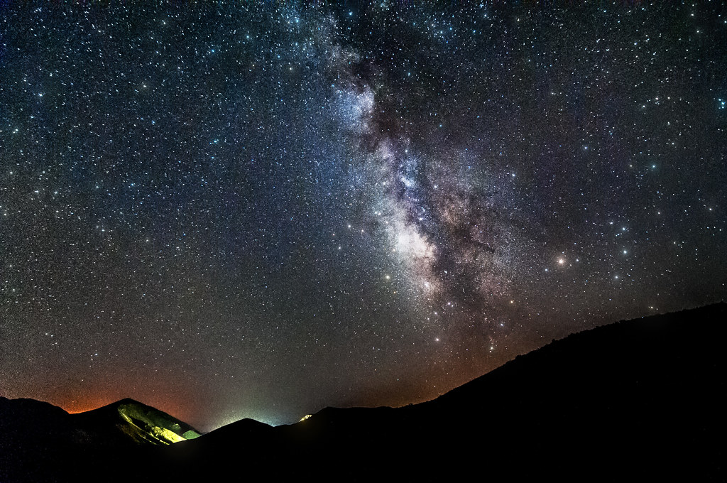
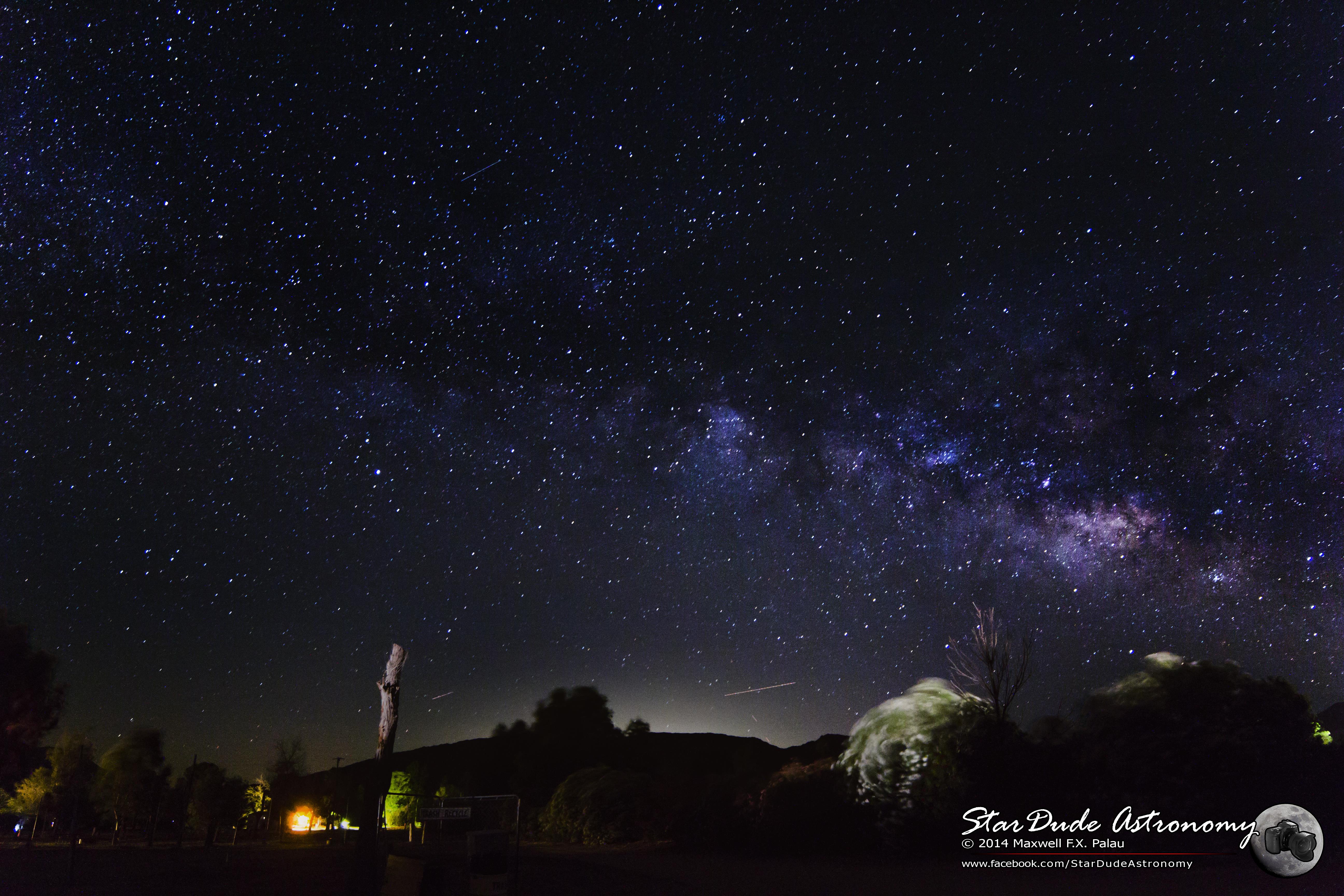
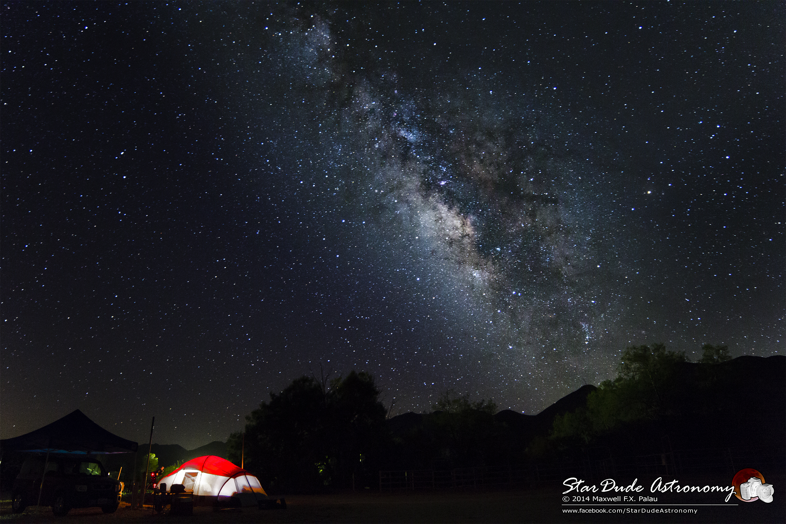
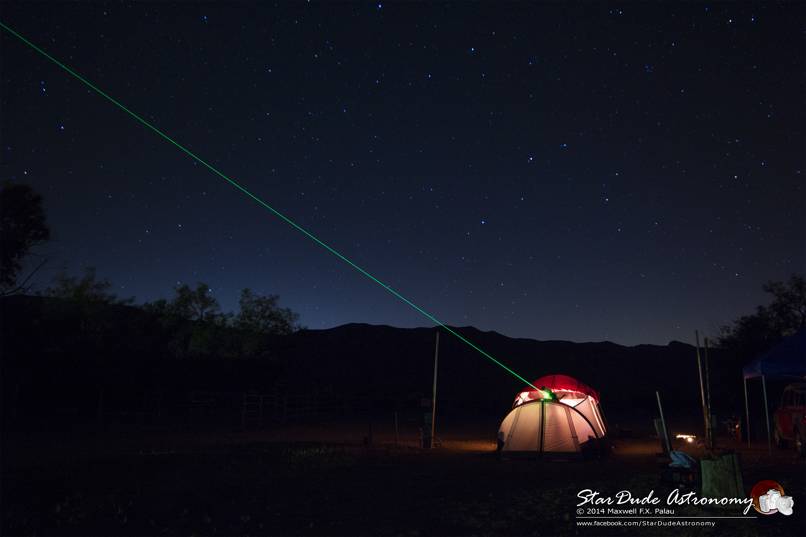
Mountain Top Milky Way
1/100 First day sunrise...

Mt Laguna Rainbow
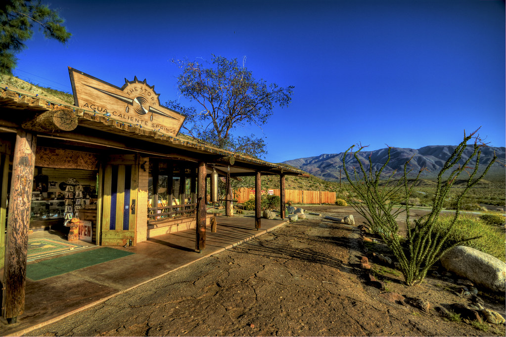
The Agua Caliente General Store
Departure of Halowe'en Spirits from Mt. Laguna
The smoke monster's kindly brother ~ ~ ~
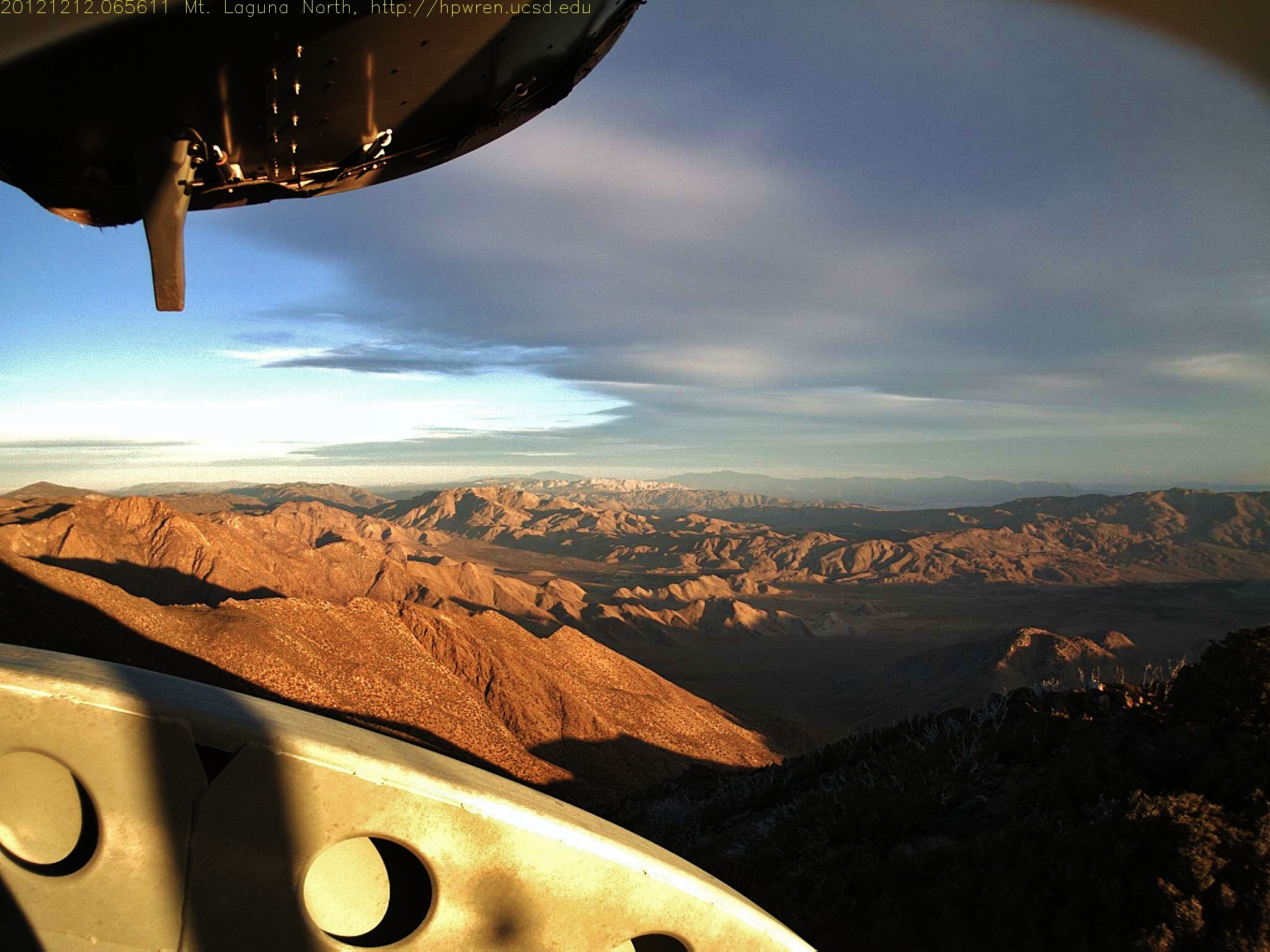
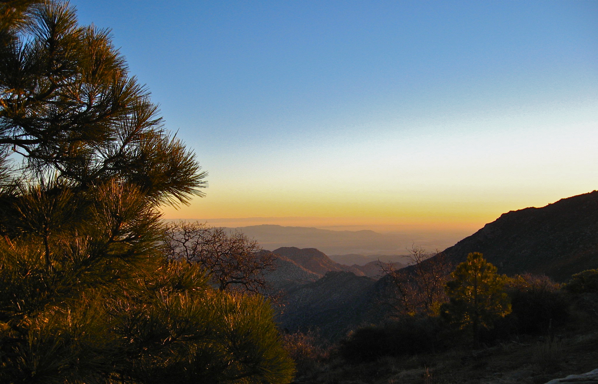
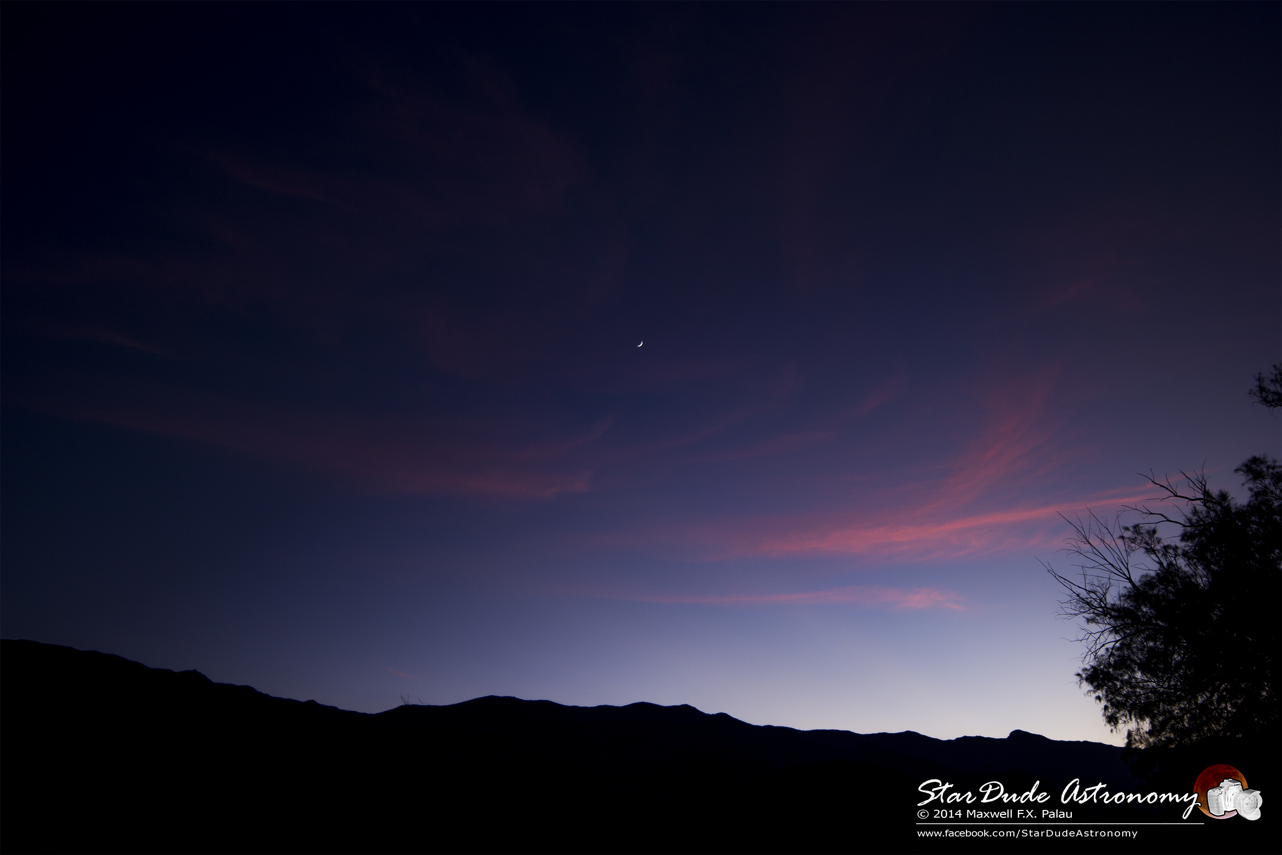
Mt Laguna view: Desert sunrise 12~12~2012
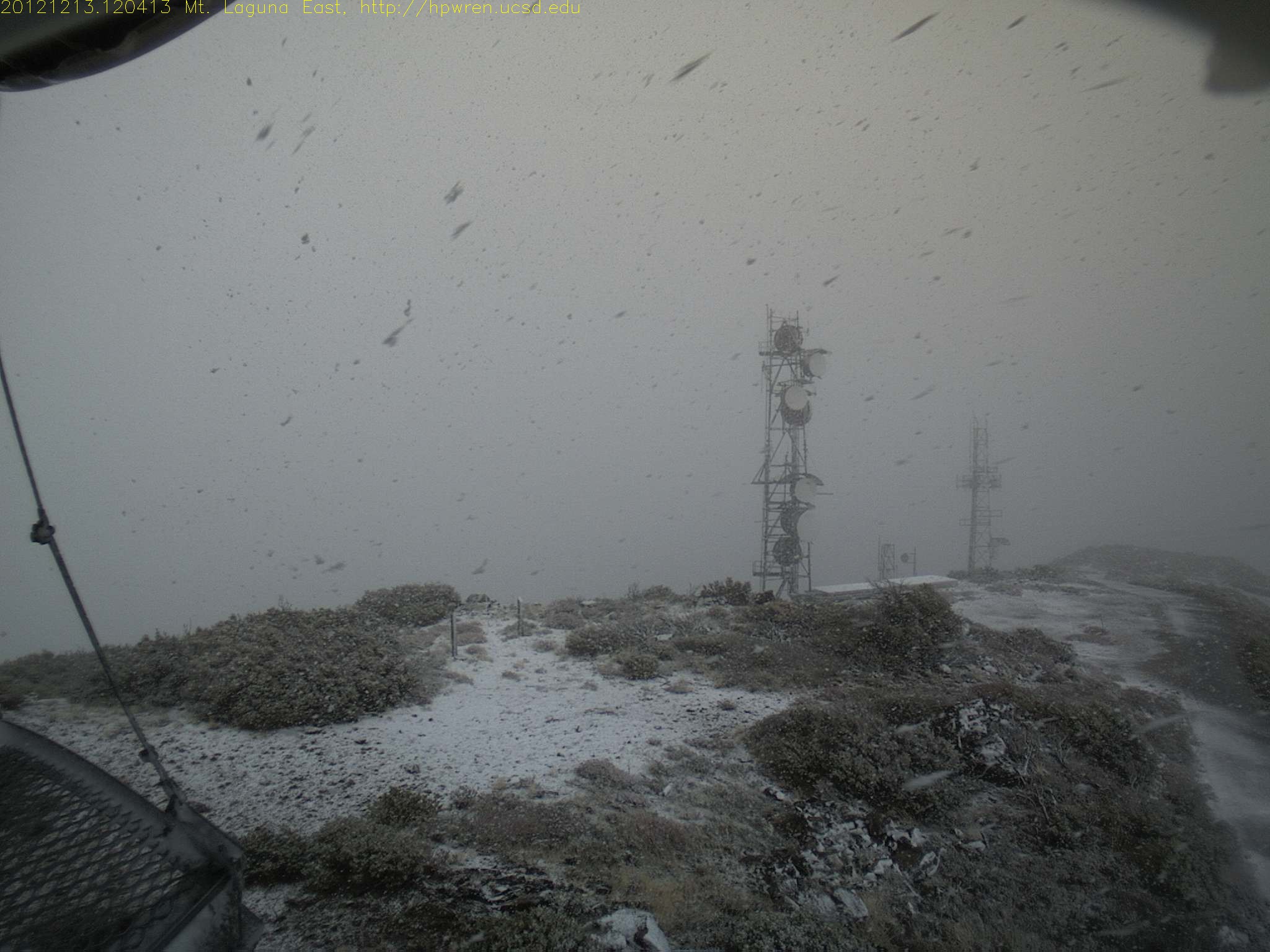
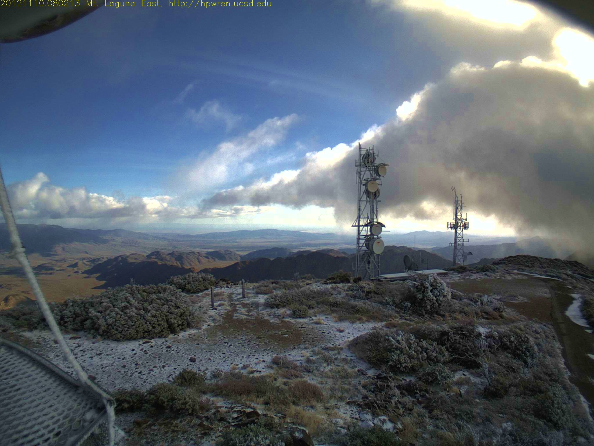
Mt Laguna east view during a snowfall
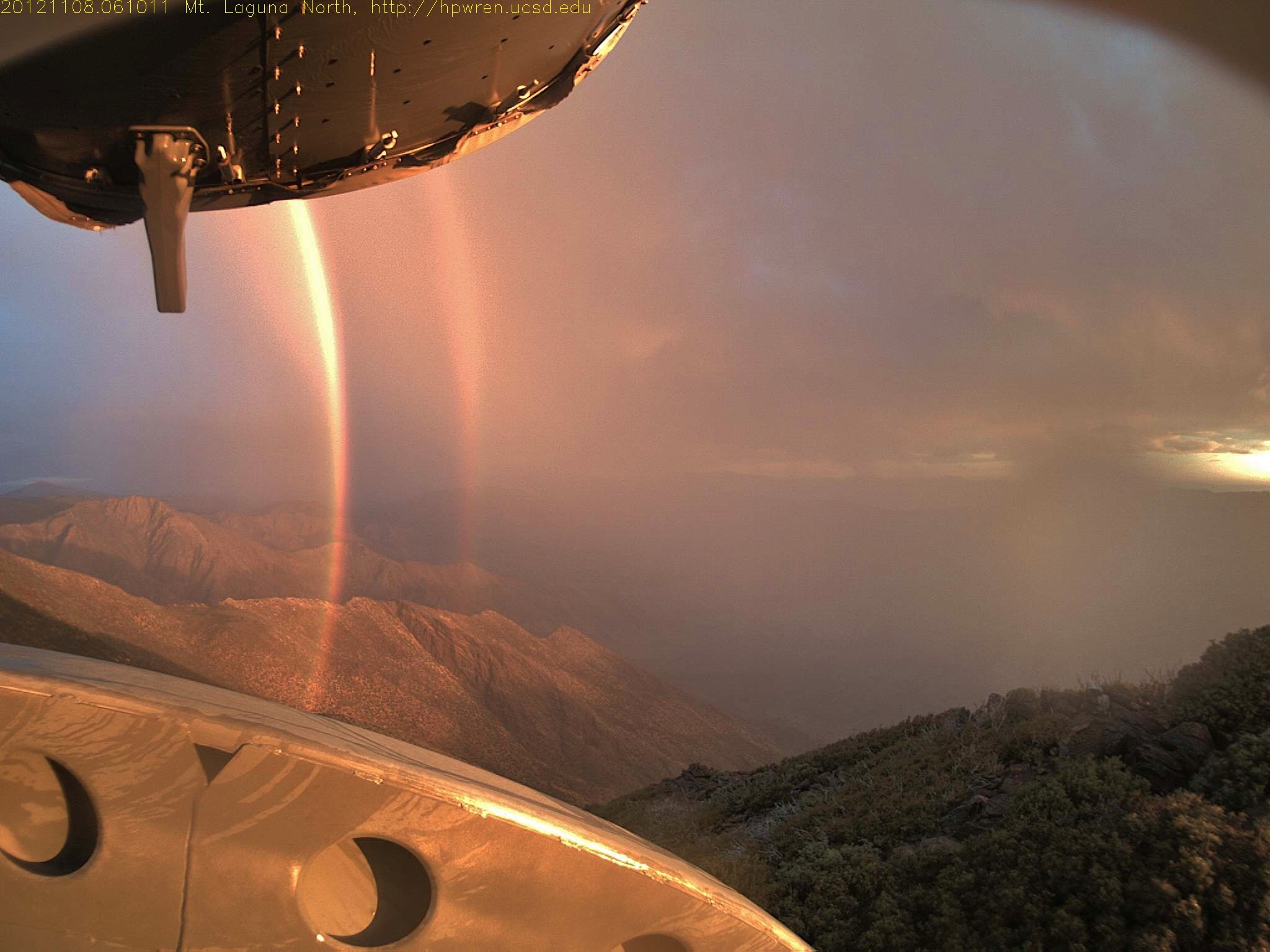
Daybreak rainbows and rain squall 08-Nov-2012 06:10 AM PST
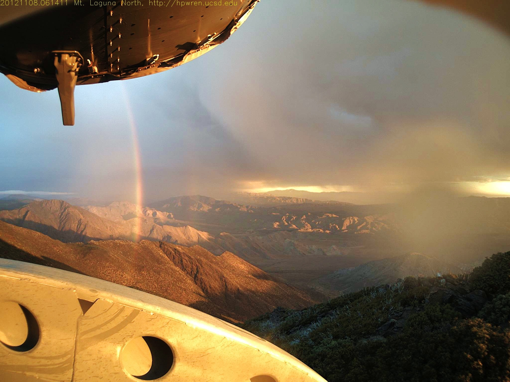
Fleeting moment 08-Nov-2012 06:14 AM PST
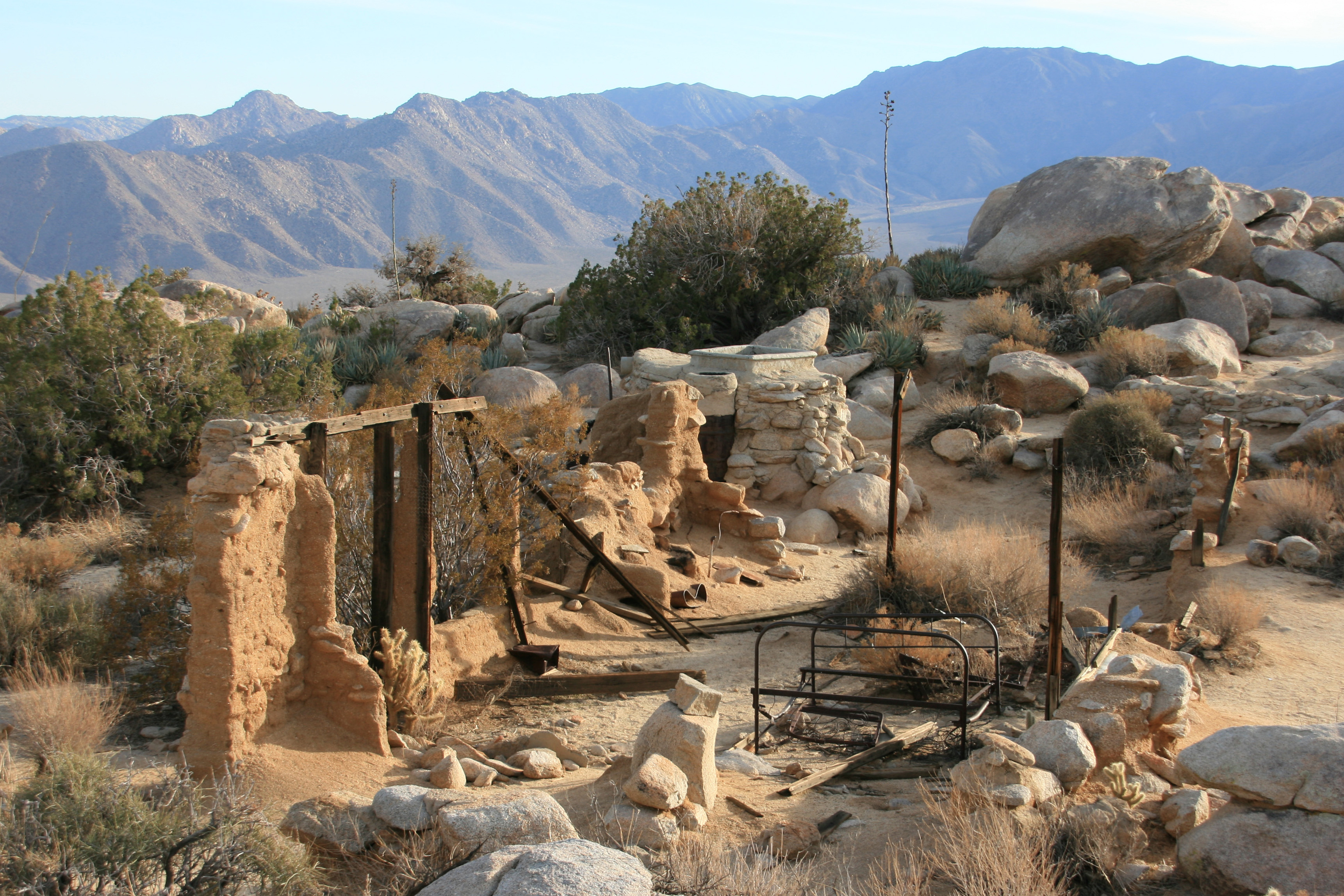
Remains of the Marshal South house

Chariot Fire aerial firefighting 08-July-2013 1529 (3:29 PM) 20130708-1
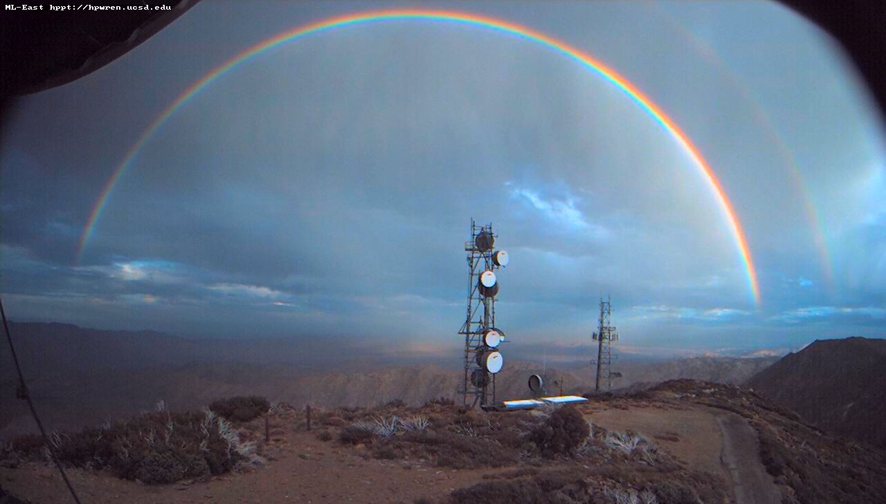
Double rainbow over the desert

Sunset on the Anza-Borrego

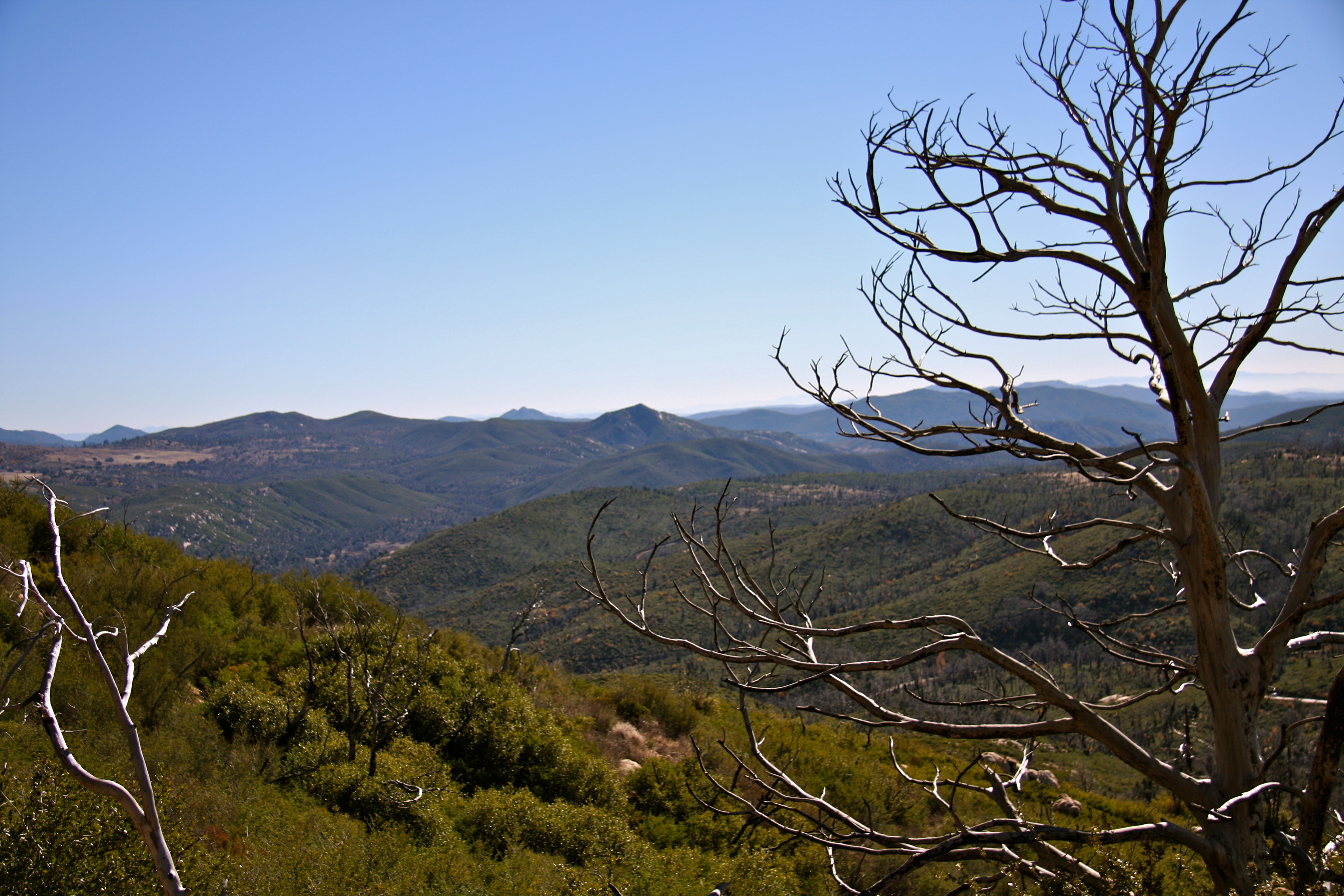
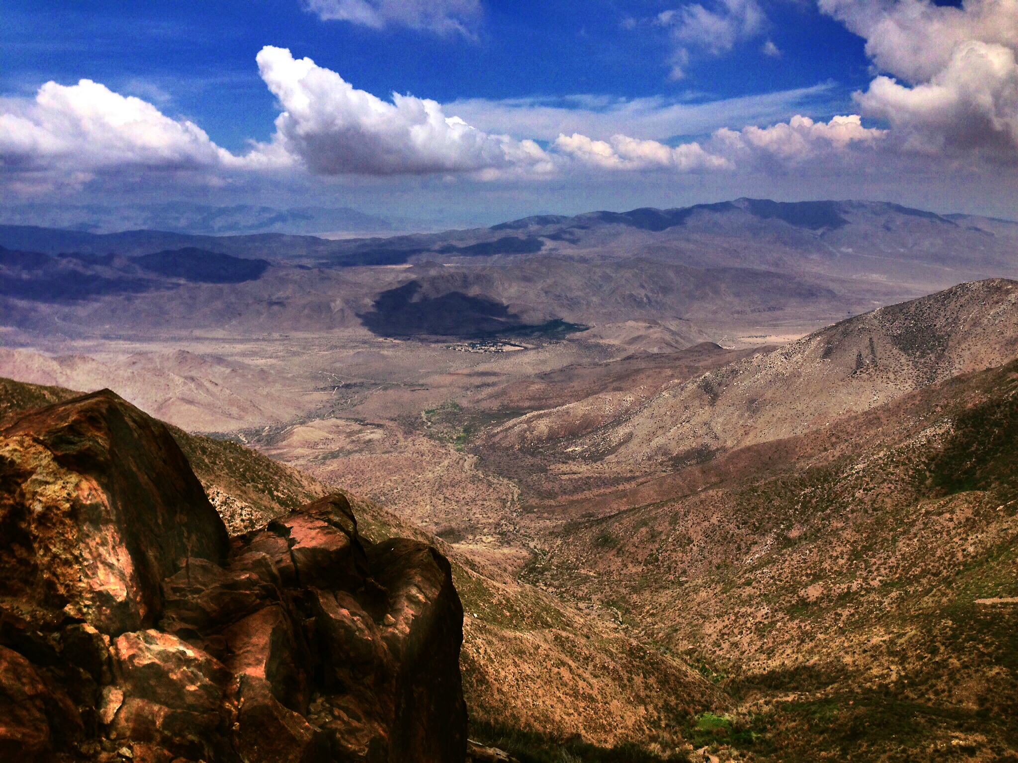
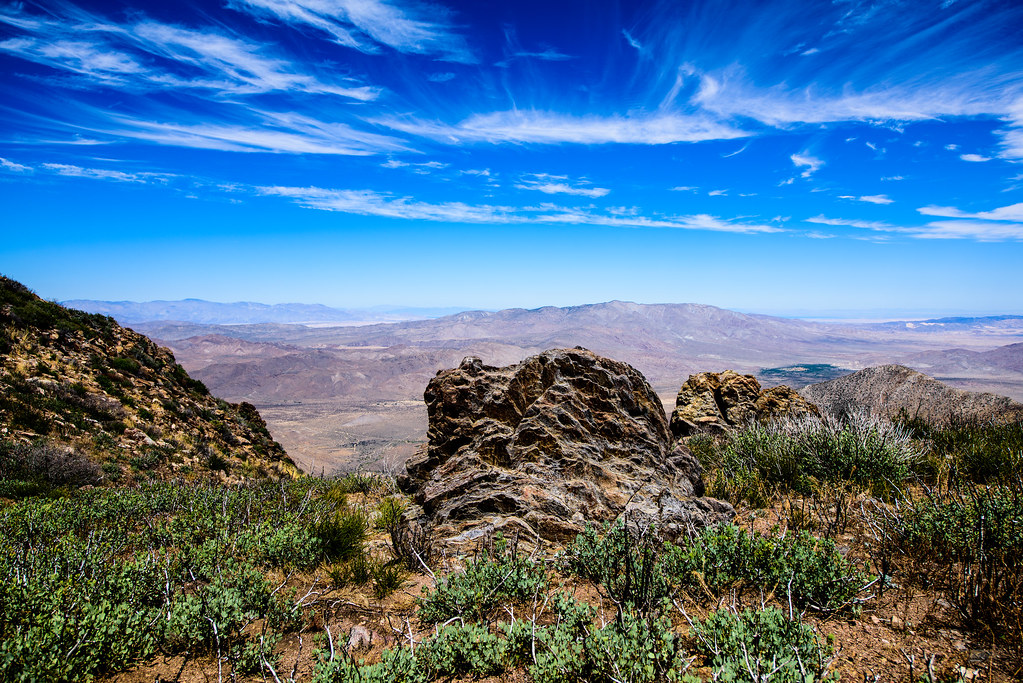
Desert Overlook
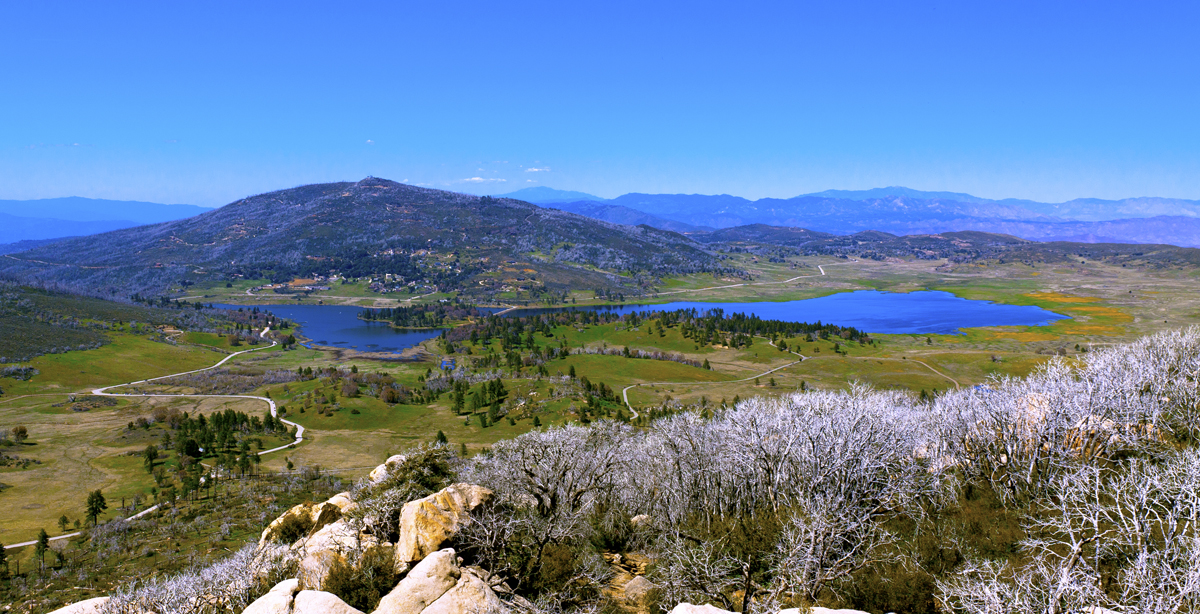
Lake Cuyamaca from Stone Wall Peak
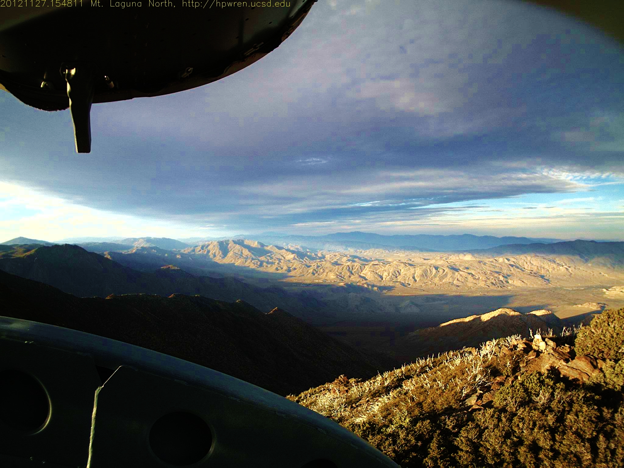
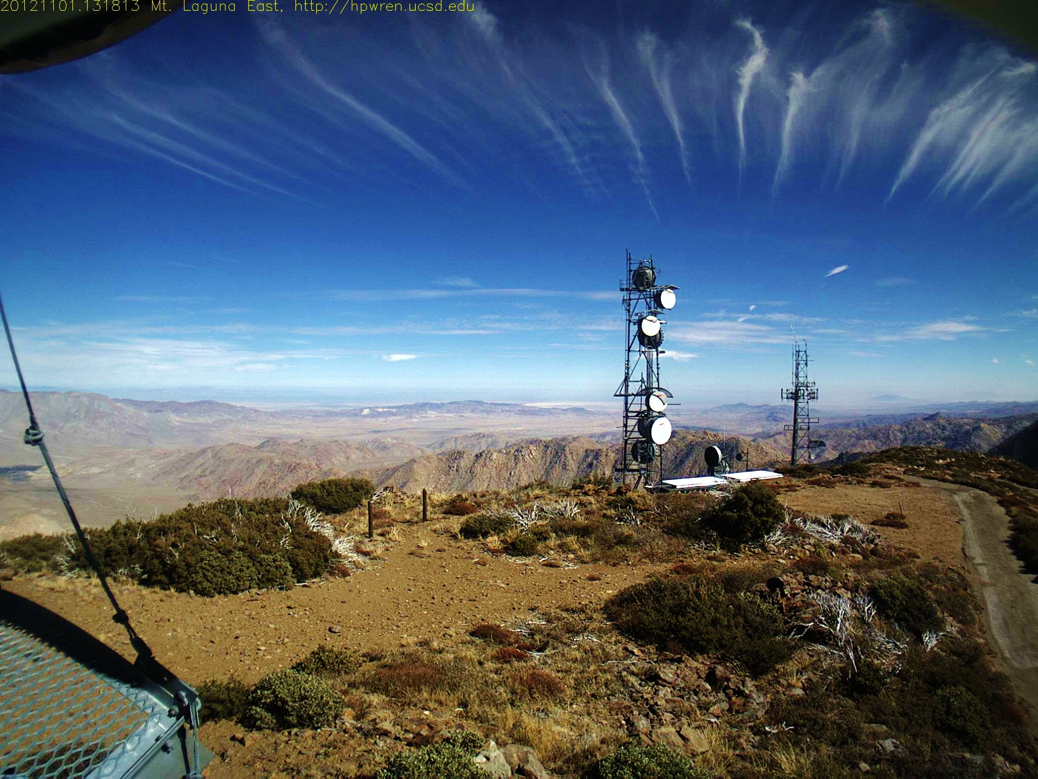
Mt Laguna North view 1354060091.jpg 27-Nov-2012 1548
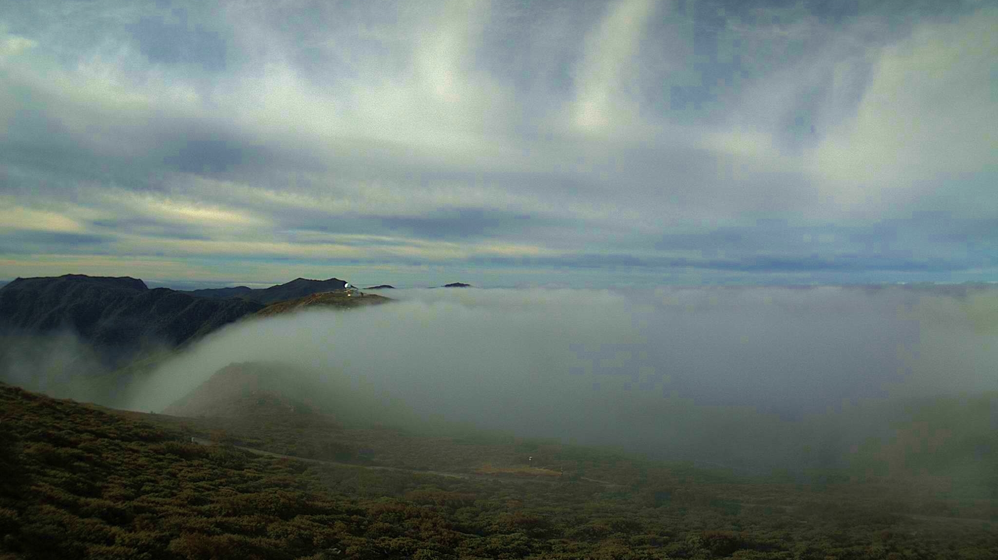
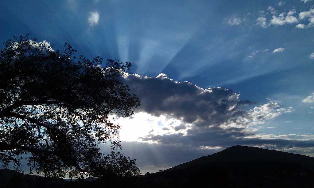
Waterfalls of clouds, Mount Laguna

We couldn't save them
Southern Exposure from Stonewall

Lake Cuyamaca from Stone Wall Peak
Galactic Terminal

Storm in the Desert
Sunrise after thunderstorm

Dark and Deep

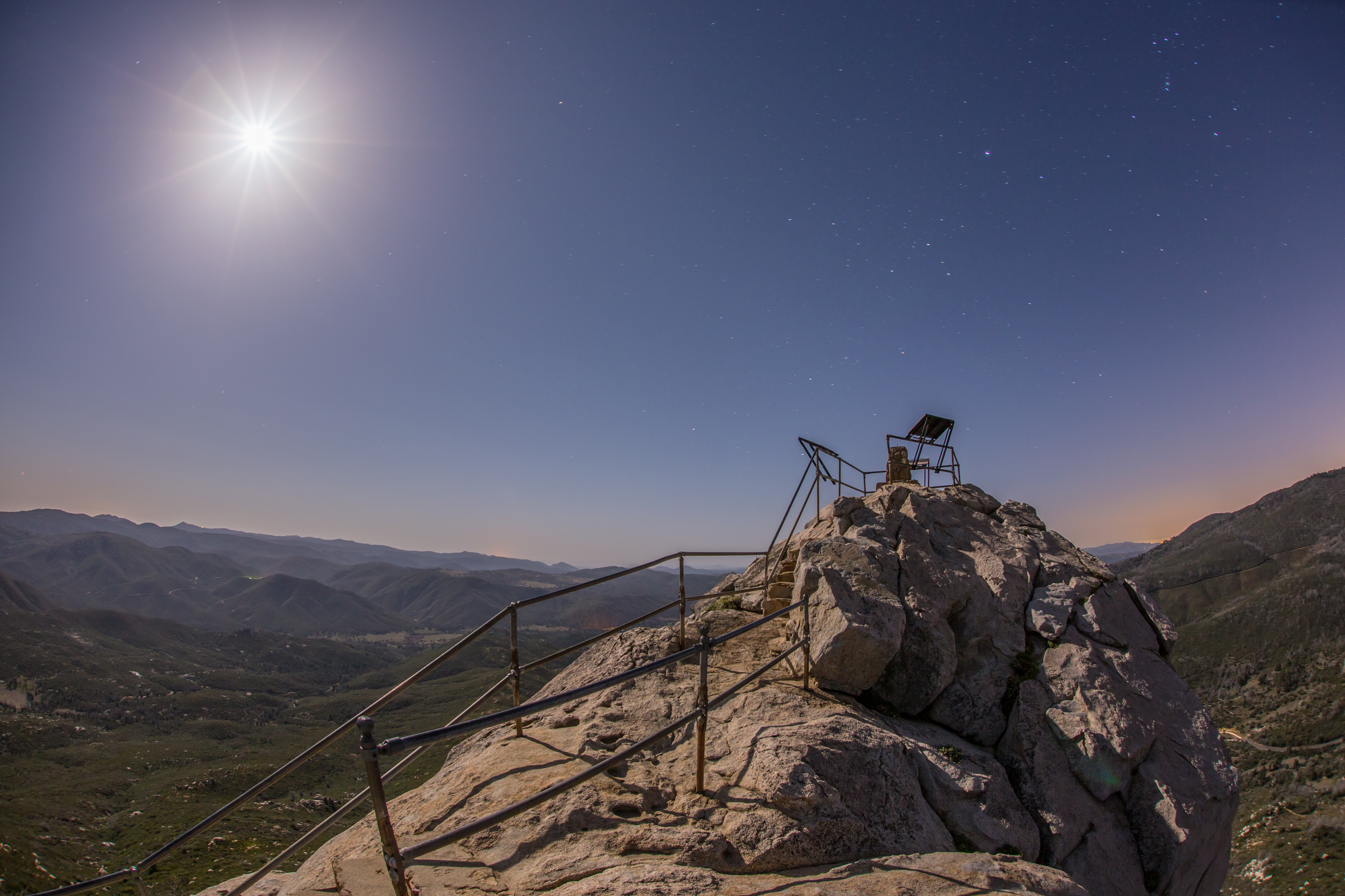
The summit of Stonewall Peak at nighttime under a nearly full moon.
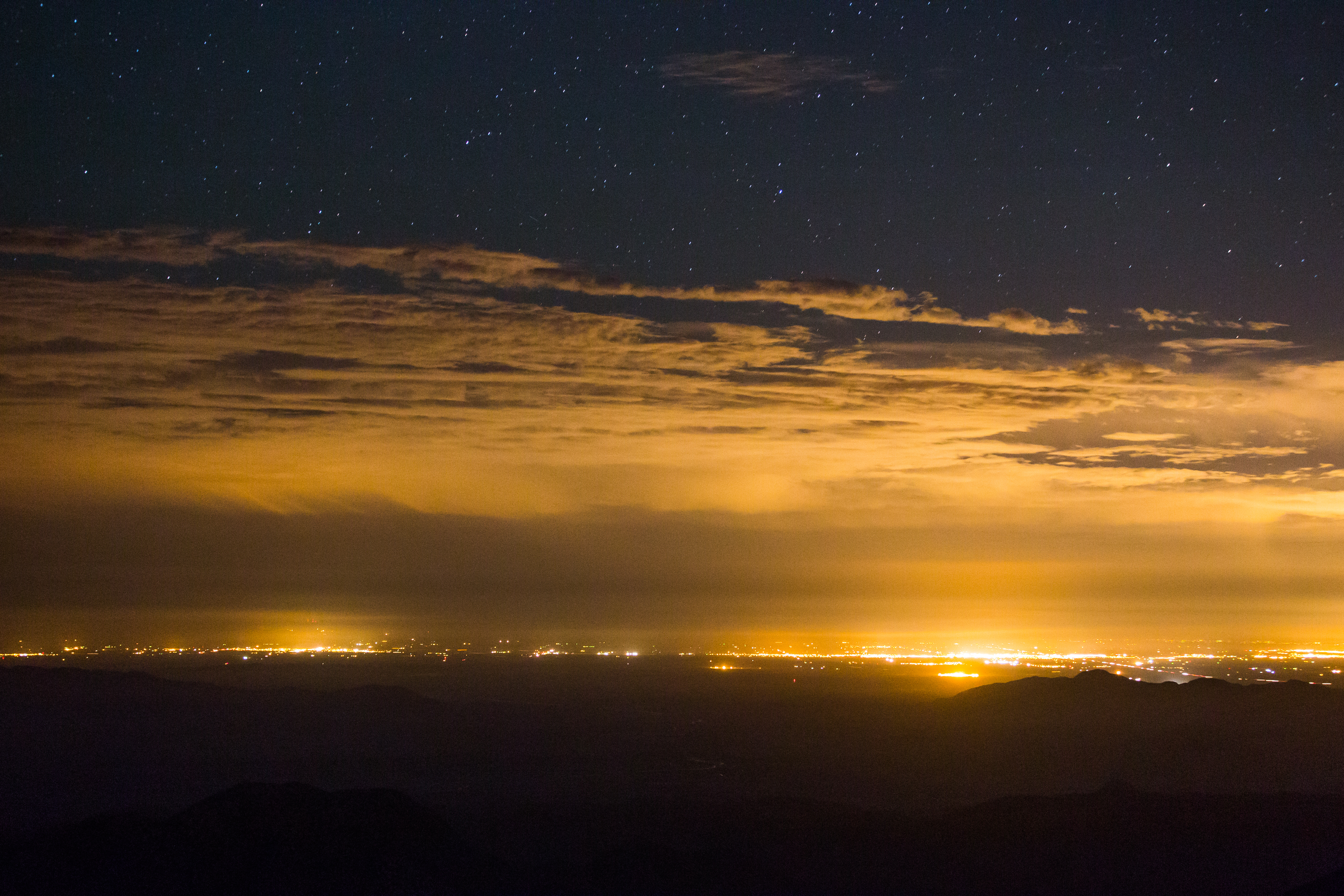
Stars, clouds, and light pollution. Looking east from atop Mount Laguna.
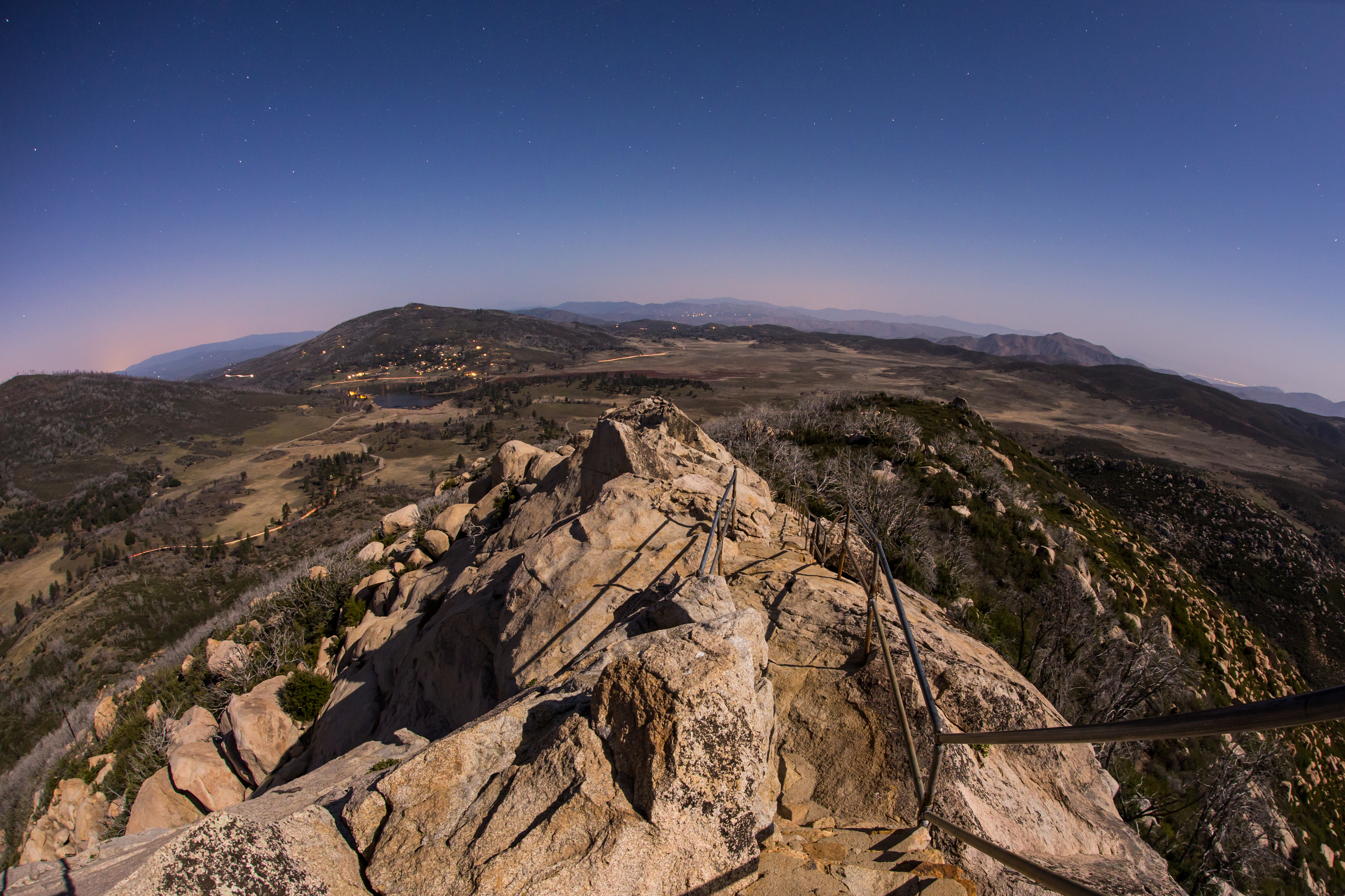
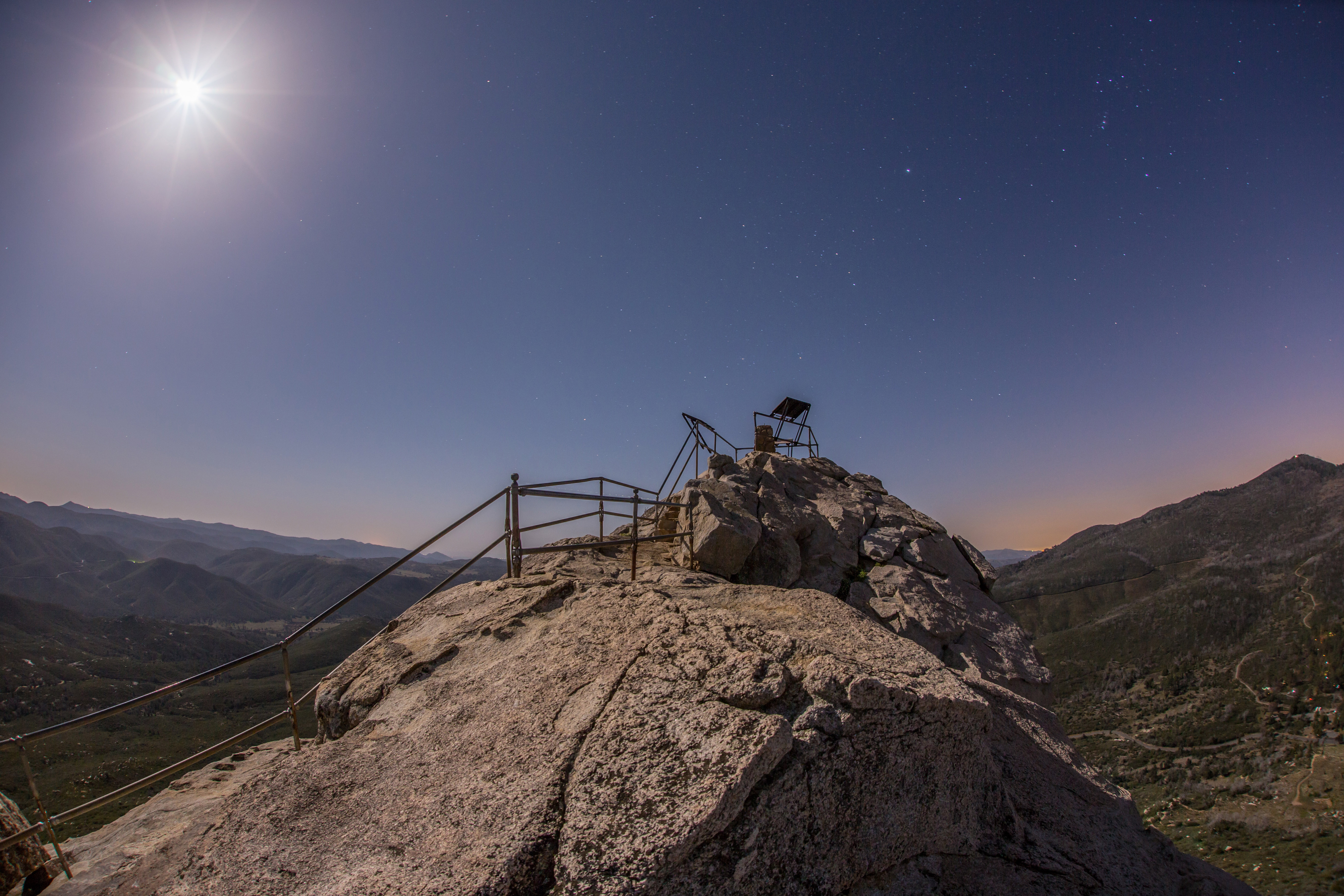
The summit of Stonewall Peak at nighttime under a nearly full moon.

California | Julian | iPhone 4S | PS CS6
White Cotton Coming Apart
The summit of Stonewall Peak at nighttime under a nearly full moon.
The summit of Stonewall Peak at nighttime under a nearly full moon.
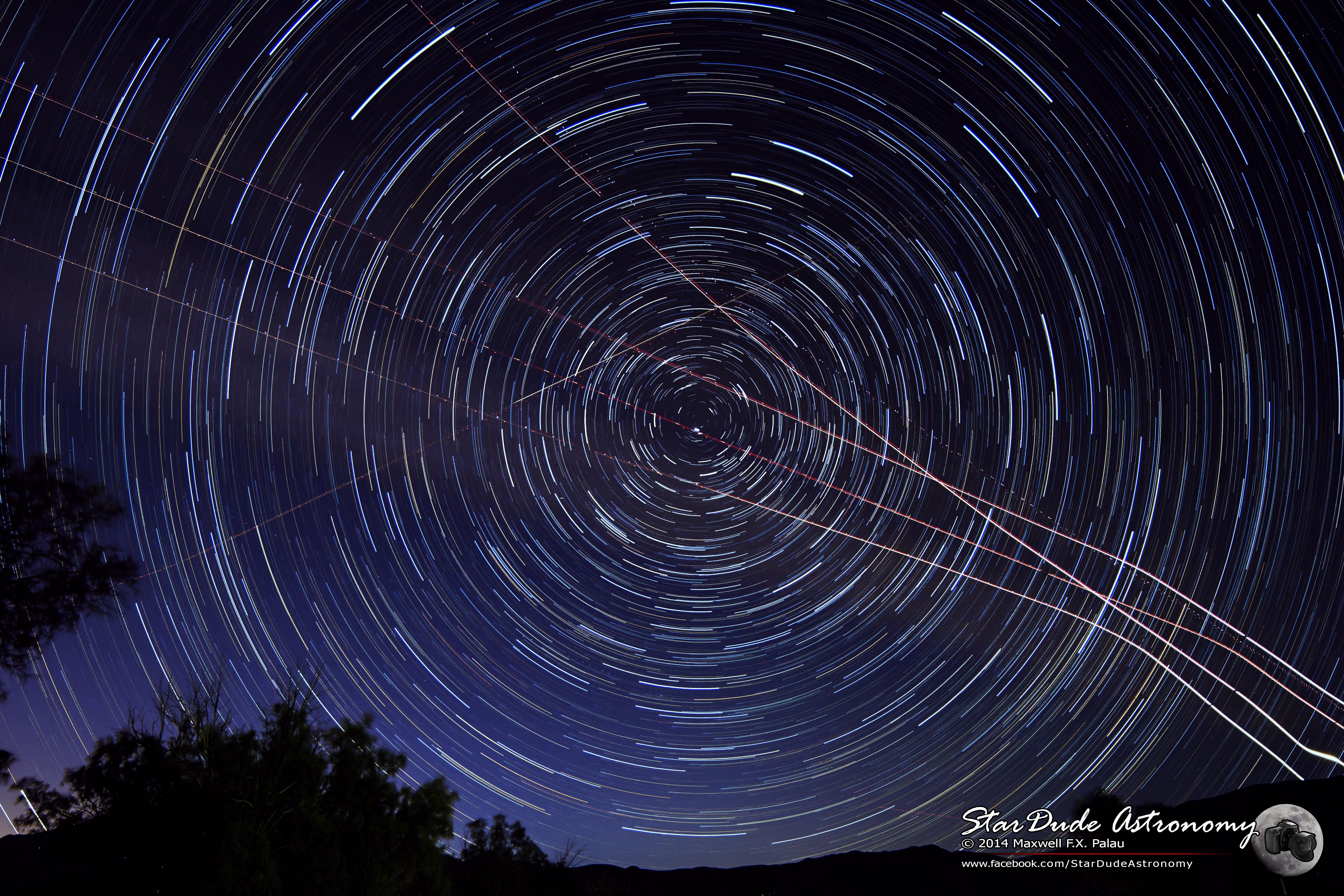
Sky Spirals
Field of Stars
#mtlaguna #sunrisehwy #PacificCrestTrail #california #iphone
Pacific Crest Trail Mt Laguna #pct #pacificcresttrail #mtlaguna #hiking #iphone6
Kwaamyii Point-0081
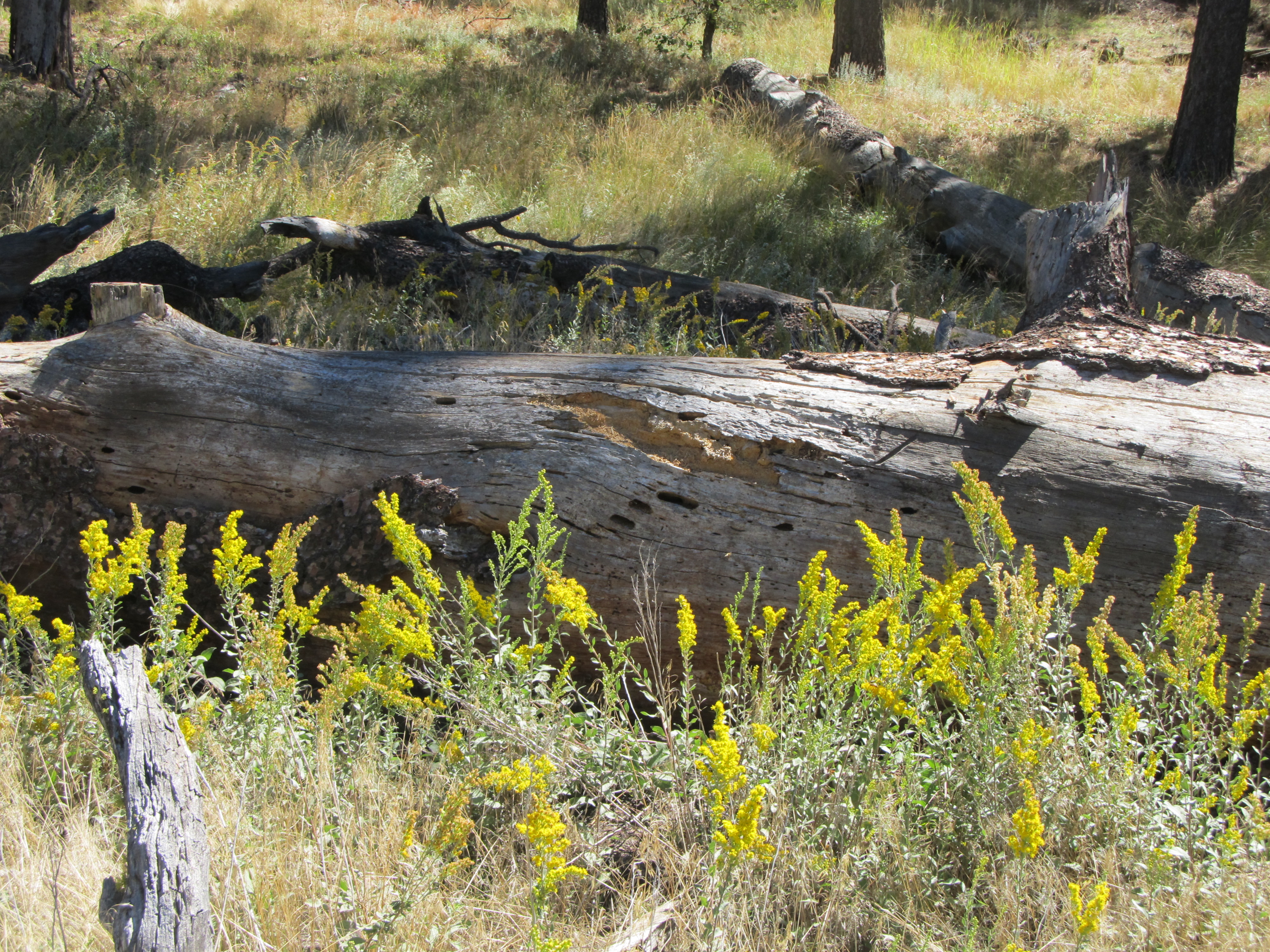
Goldenrod & old log
Emerald Vein
Goodnight Moon
Topographic Map of Sunrise Highway, Sunrise Hwy, Mt Laguna, CA, USA
Find elevation by address:

Places near Sunrise Highway, Sunrise Hwy, Mt Laguna, CA, USA:
Laguna Campground
Monument Peak
Monument Peak Road
Mount Laguna
Sunrise Highway
Kwaaymii Point
13652 Ca-79
Julian, CA, USA
Green Valley Falls
10499 Ca-79
Stonewall Peak Trail
Paso Picacho Campground
Cuyamaca Mountains
15027 Ca-79
Lake Cuyamaca Restaurant & Store
Lake Cuyamaca
Cuyamaca Peak
34606 Navajo Rd
34632 Pima Trail
Kq Ranch Rv Resort
Recent Searches:
- Elevation of Leguwa, Nepal
- Elevation of County Rd, Enterprise, AL, USA
- Elevation of Kolchuginsky District, Vladimir Oblast, Russia
- Elevation of Shustino, Vladimir Oblast, Russia
- Elevation of Lampiasi St, Sarasota, FL, USA
- Elevation of Elwyn Dr, Roanoke Rapids, NC, USA
- Elevation of Congressional Dr, Stevensville, MD, USA
- Elevation of Bellview Rd, McLean, VA, USA
- Elevation of Stage Island Rd, Chatham, MA, USA
- Elevation of Shibuya Scramble Crossing, 21 Udagawacho, Shibuya City, Tokyo -, Japan