Elevation of Sunrise Highway, Sunrise Hwy, California, USA
Location: United States > California > San Diego County > Julian >
Longitude: -116.48244
Latitude: 32.9241225
Elevation: 1616m / 5302feet
Barometric Pressure: 83KPa
Elevation Map:
Satellite Map:
Related Photos:
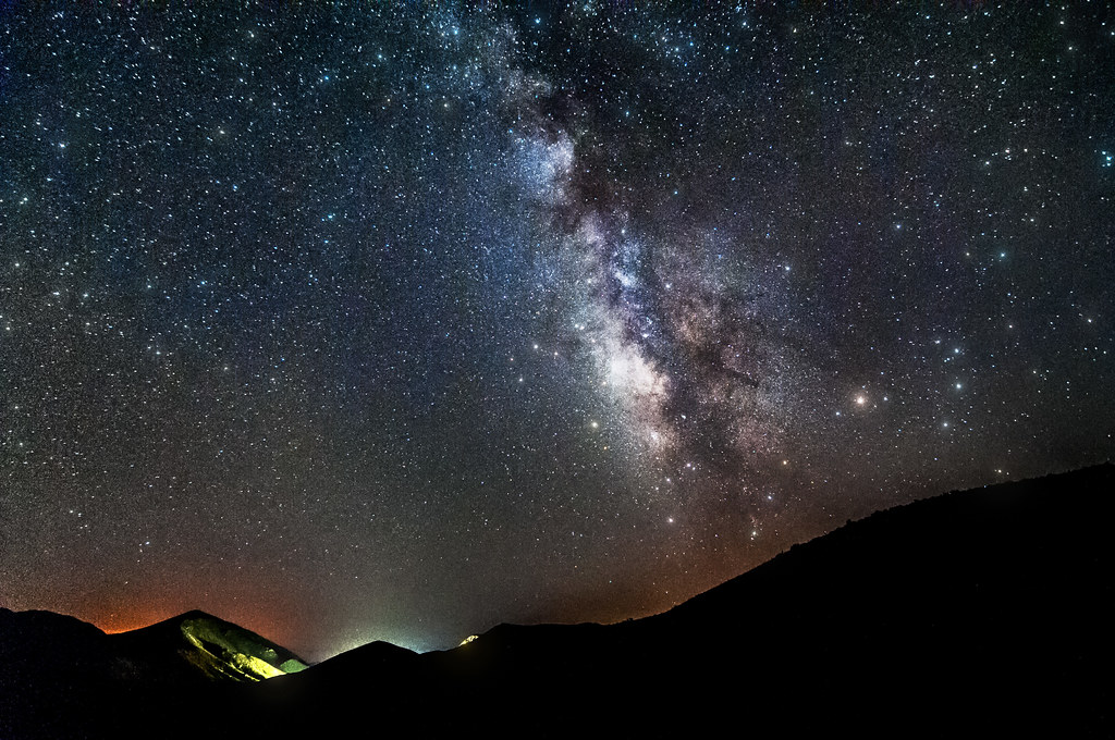
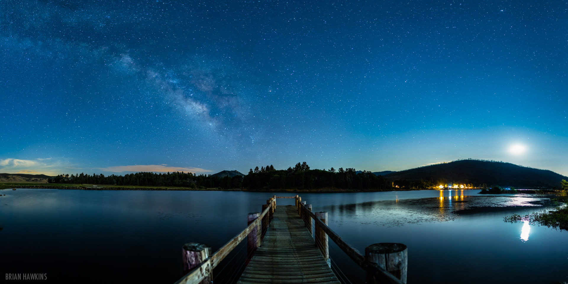
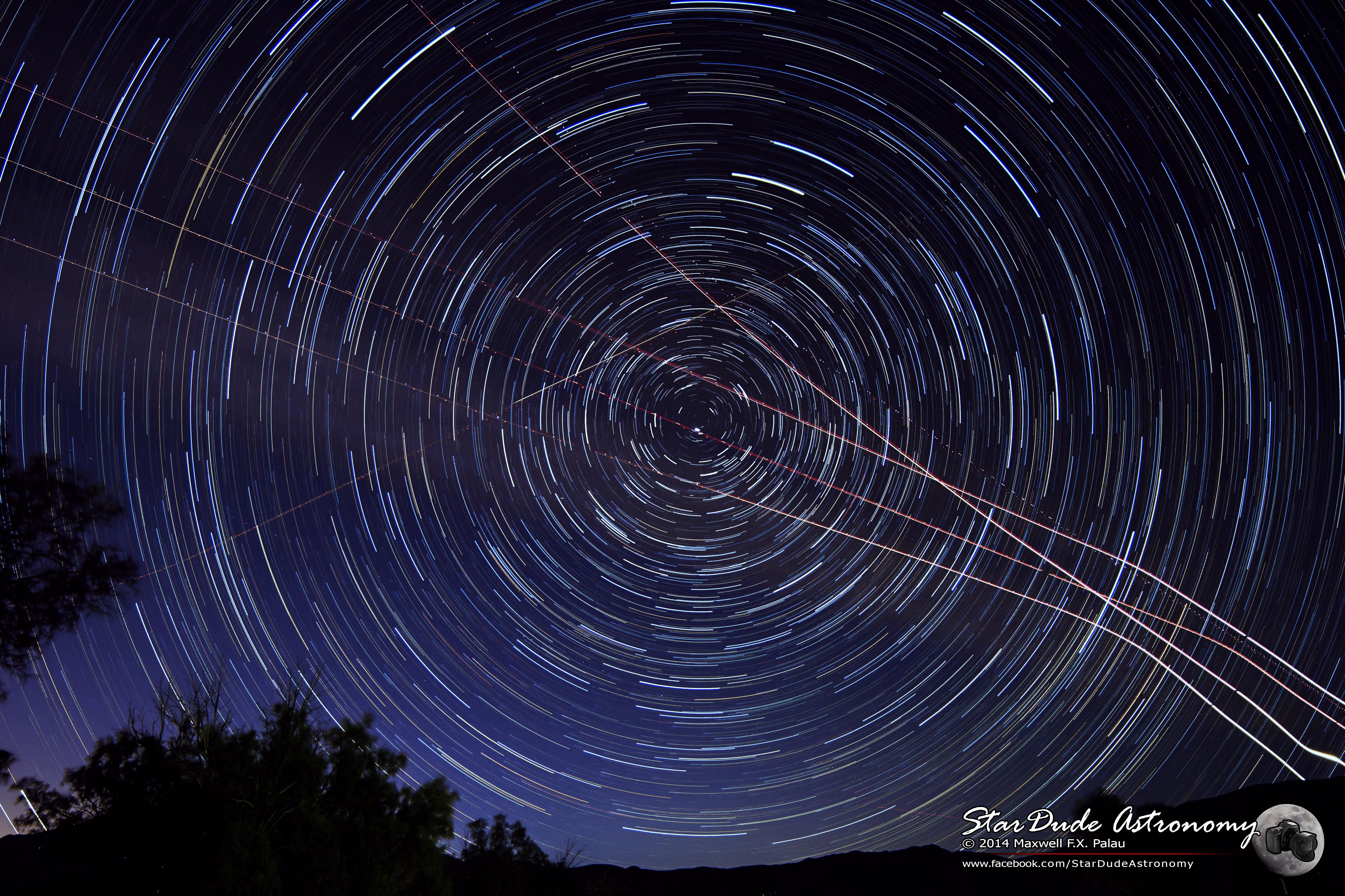
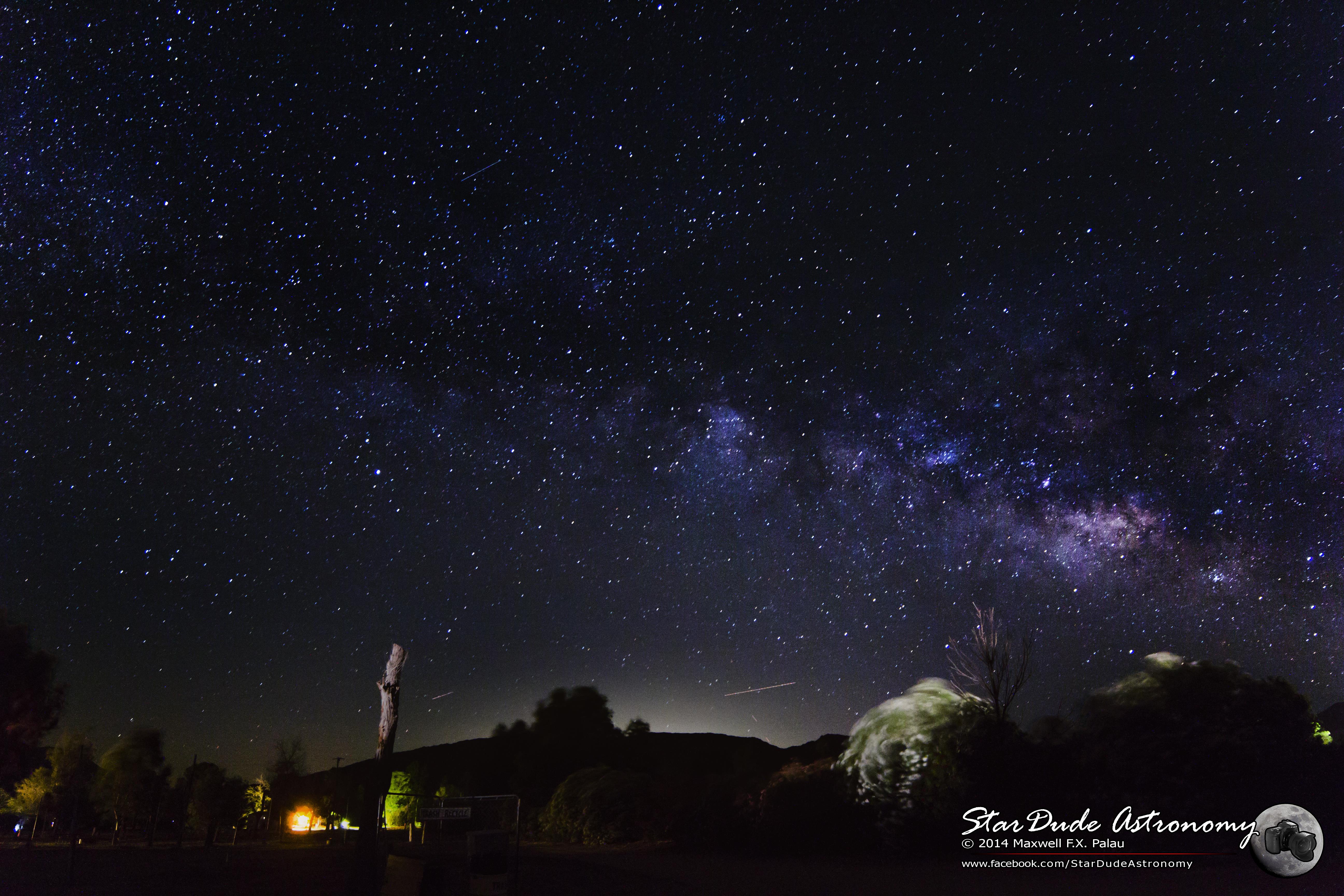
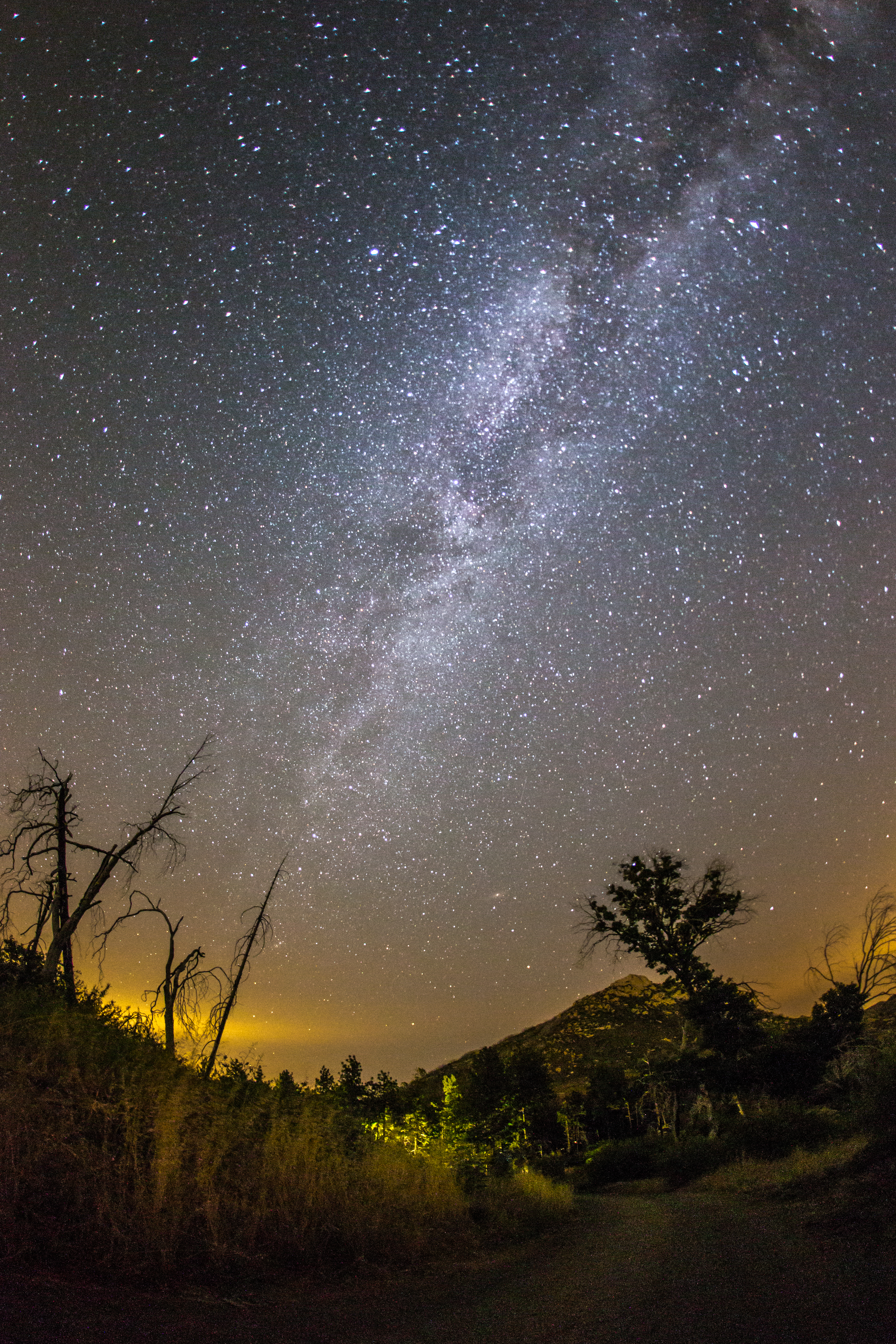
Mountain Top Milky Way
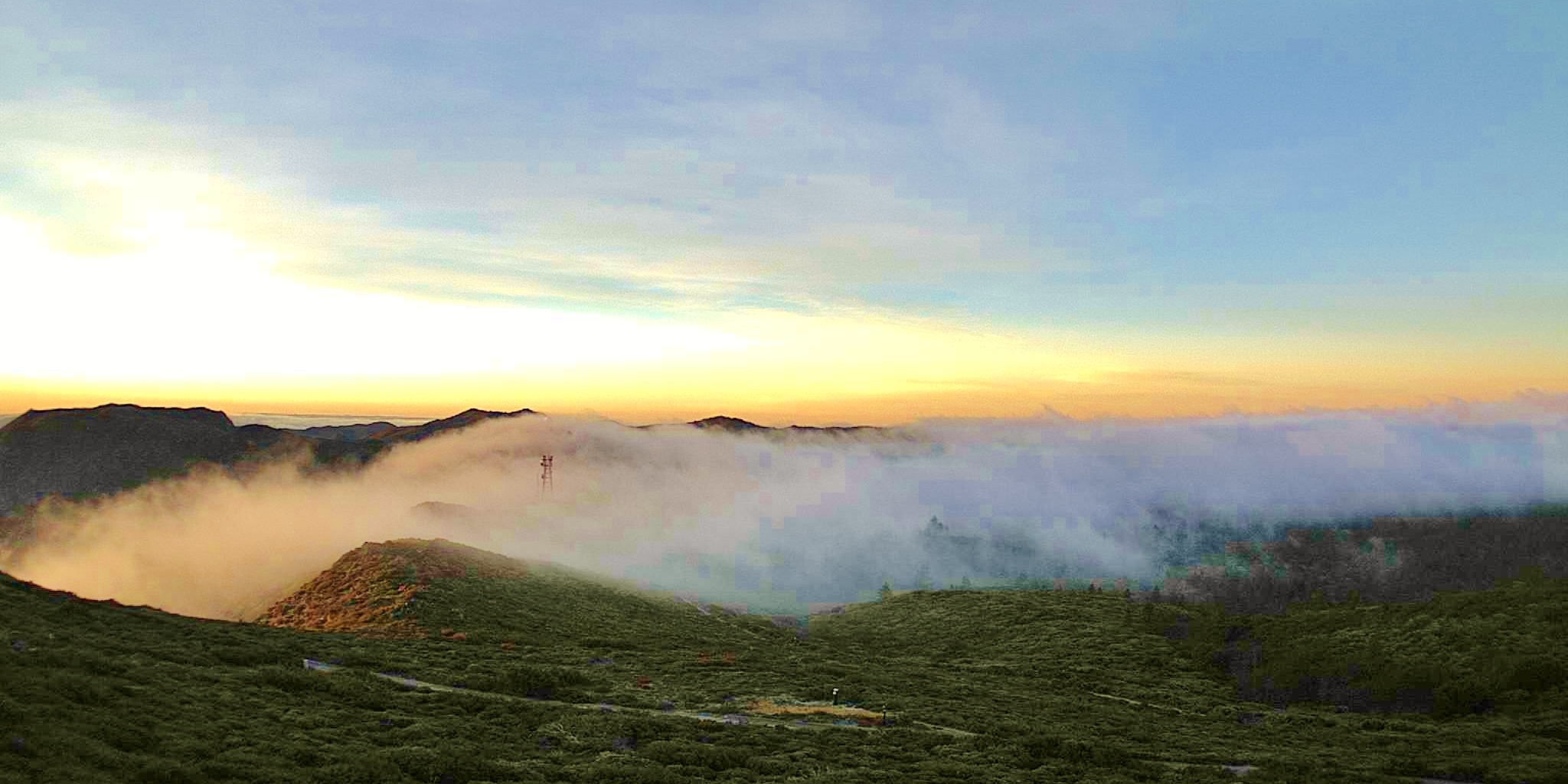
Mt Laguna South view on the first day of April 2013 - at sunrise 0640AM
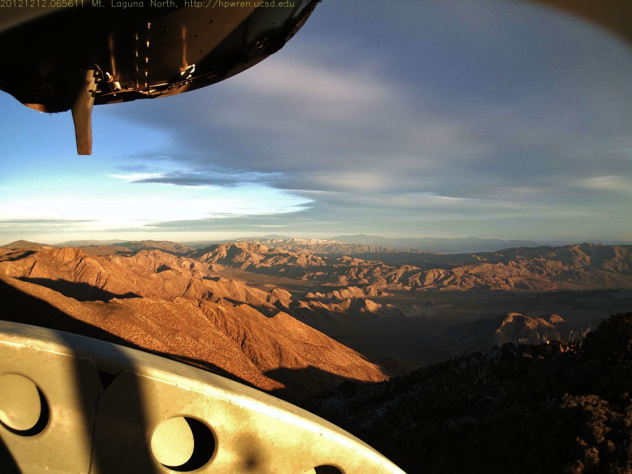
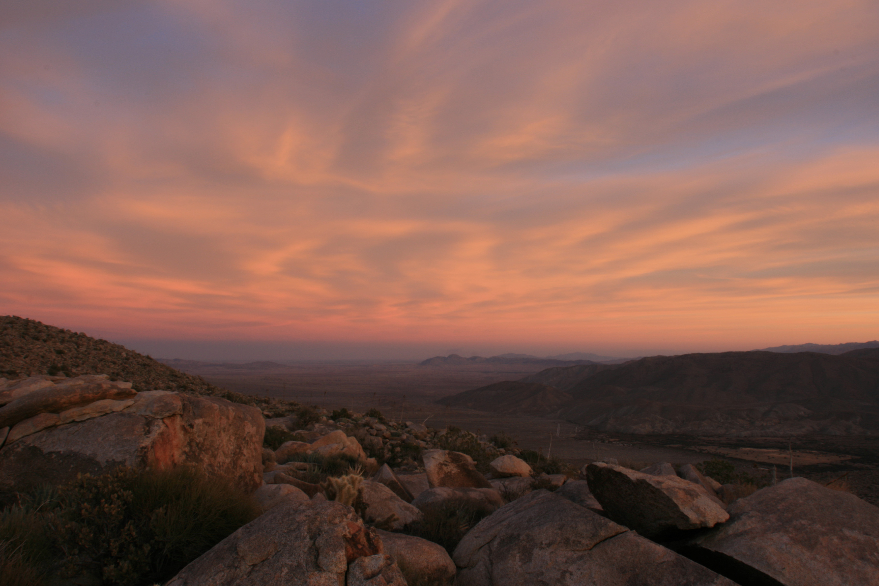
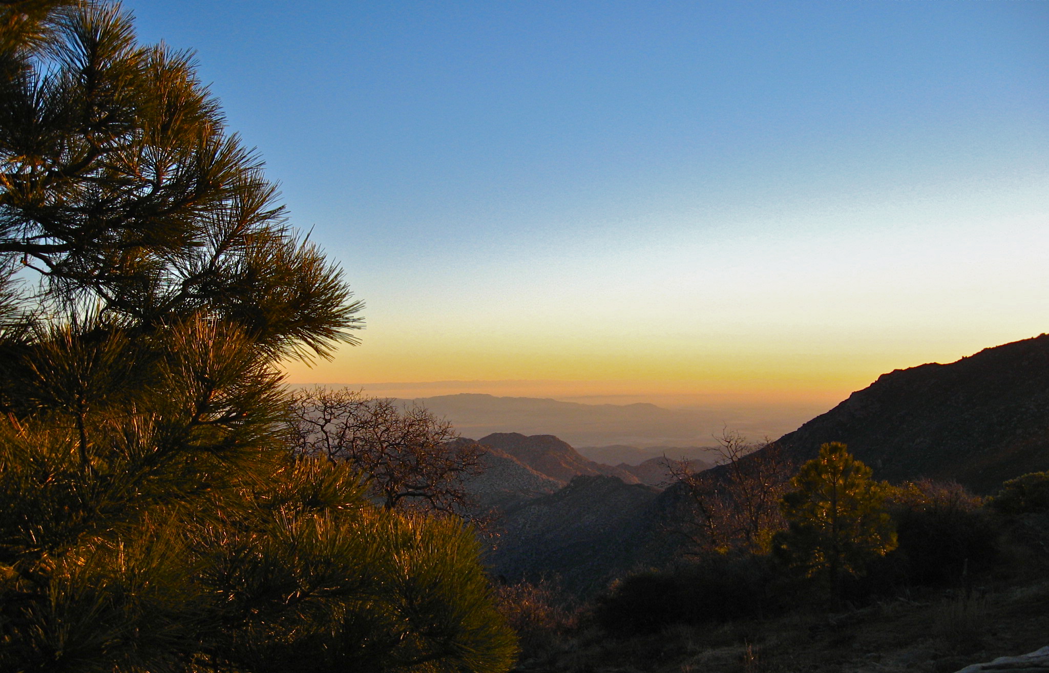
Mt Laguna view: Desert sunrise 12~12~2012
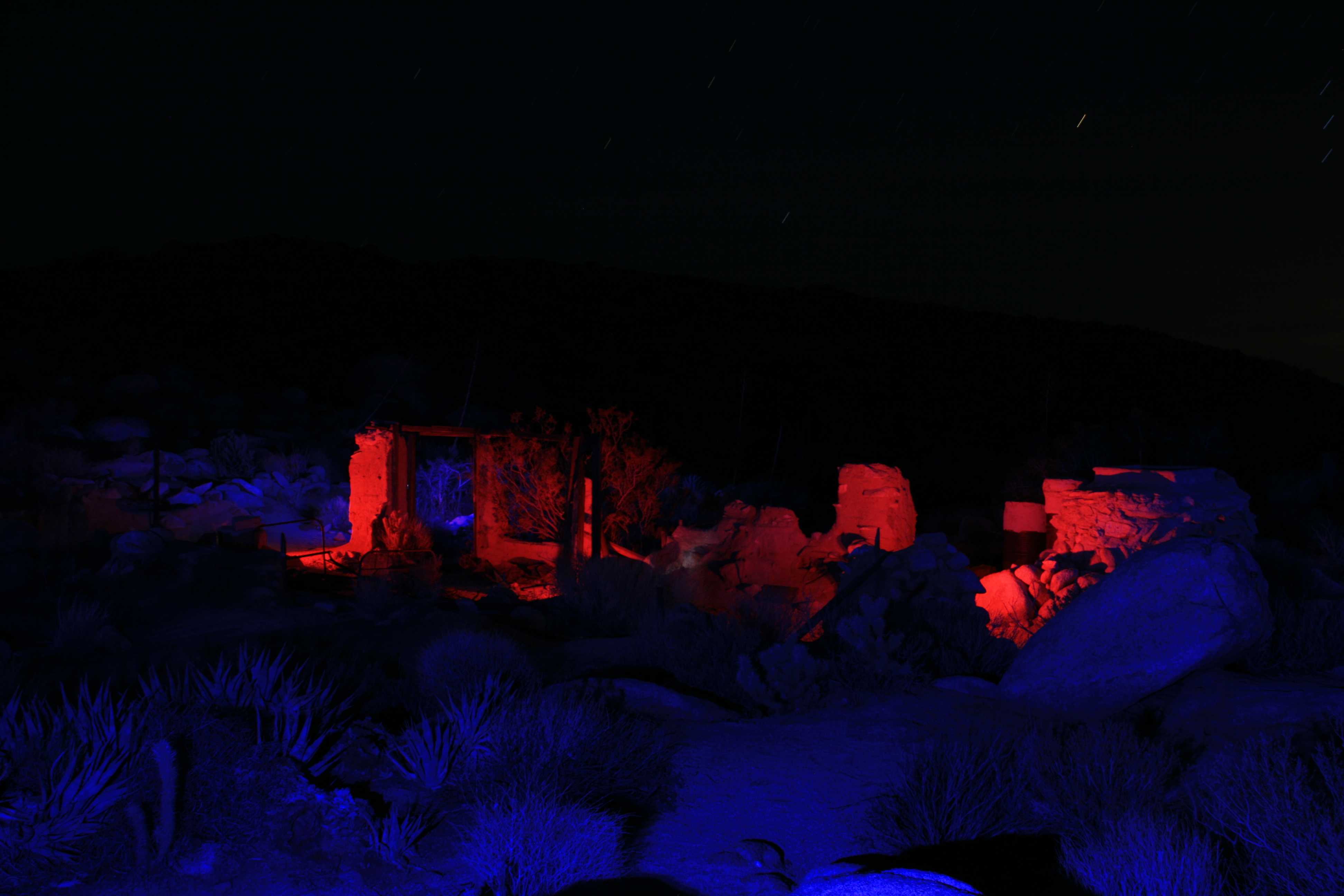
Ruins of the Marshal South house atop Ghost Mountain / Yaquitepec
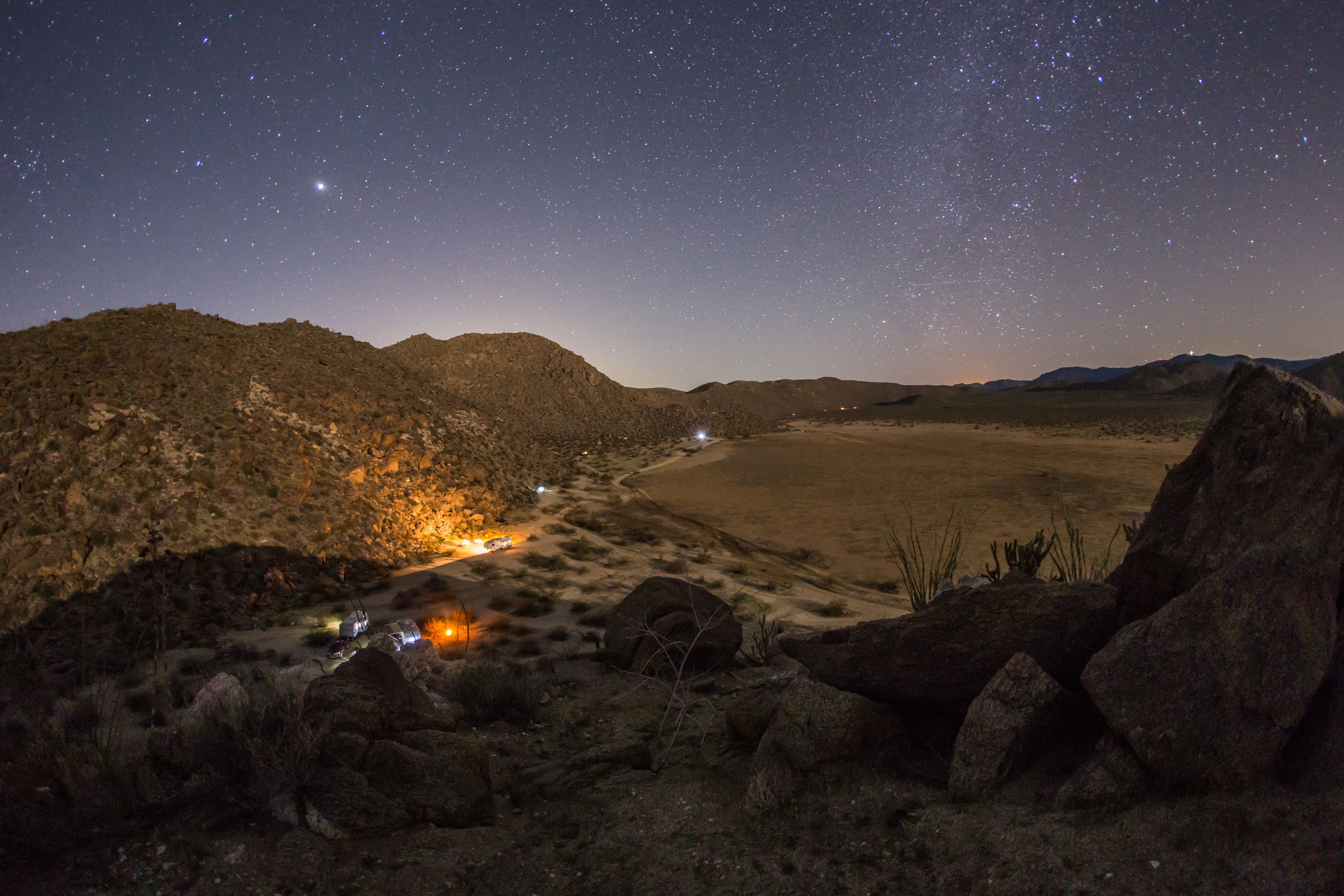
Nighttime view of our campsite in the Blair Valley area of Anza-Borrego Desert State Park
After-sunset view form atop Ghost Mountain / Yaquitepec
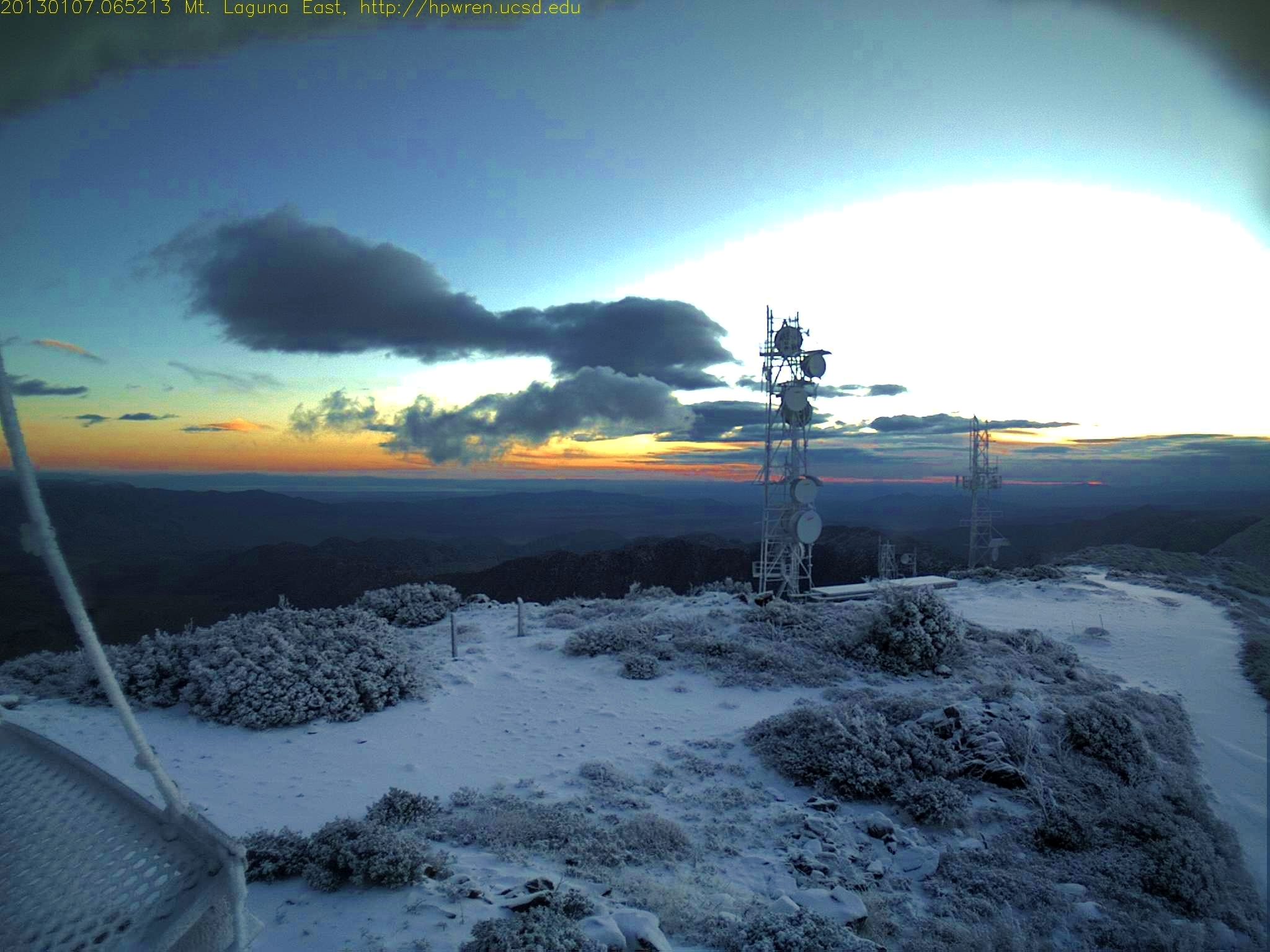
Mt Laguna dawn 0645 AM January 7 2013
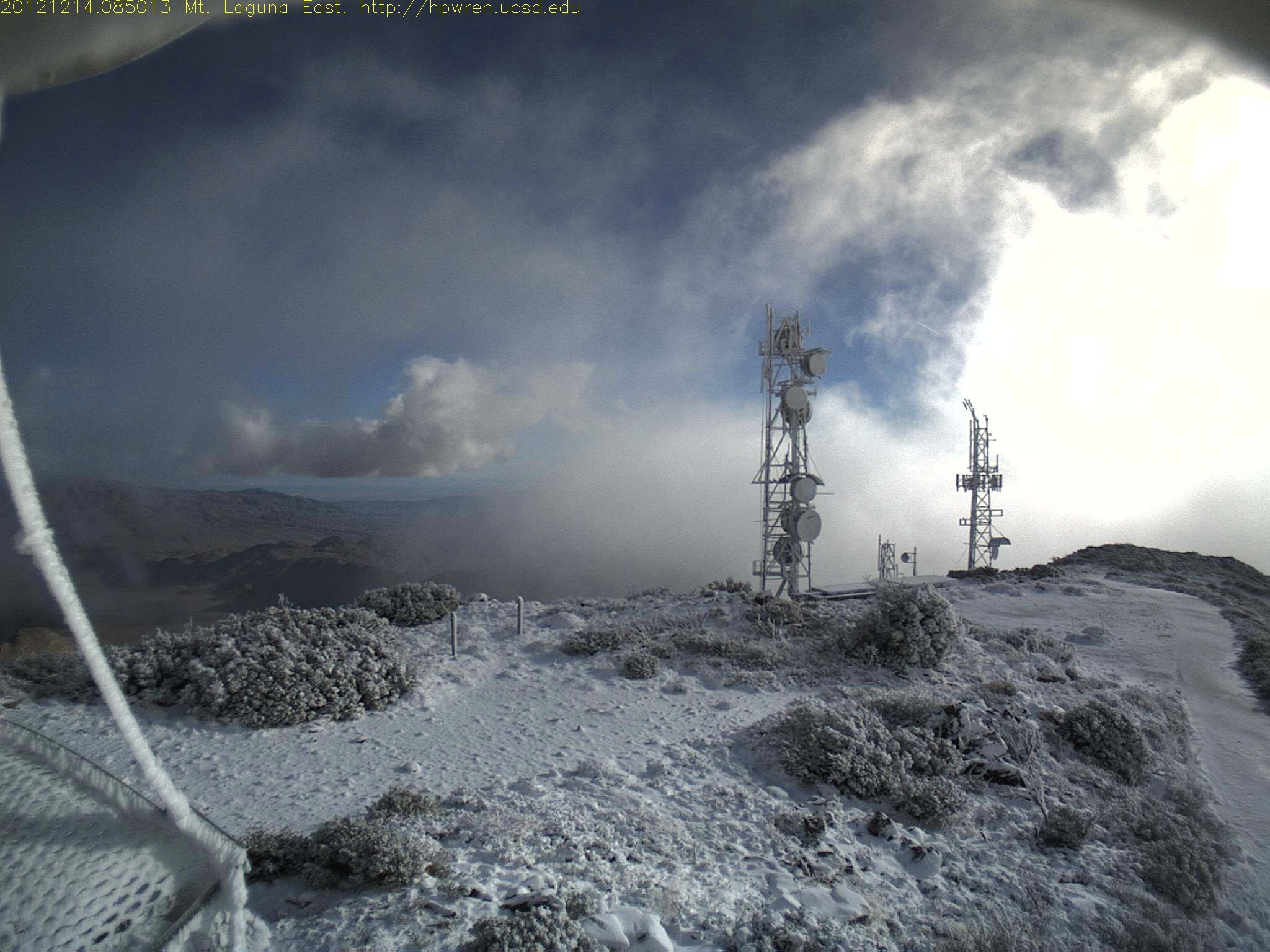
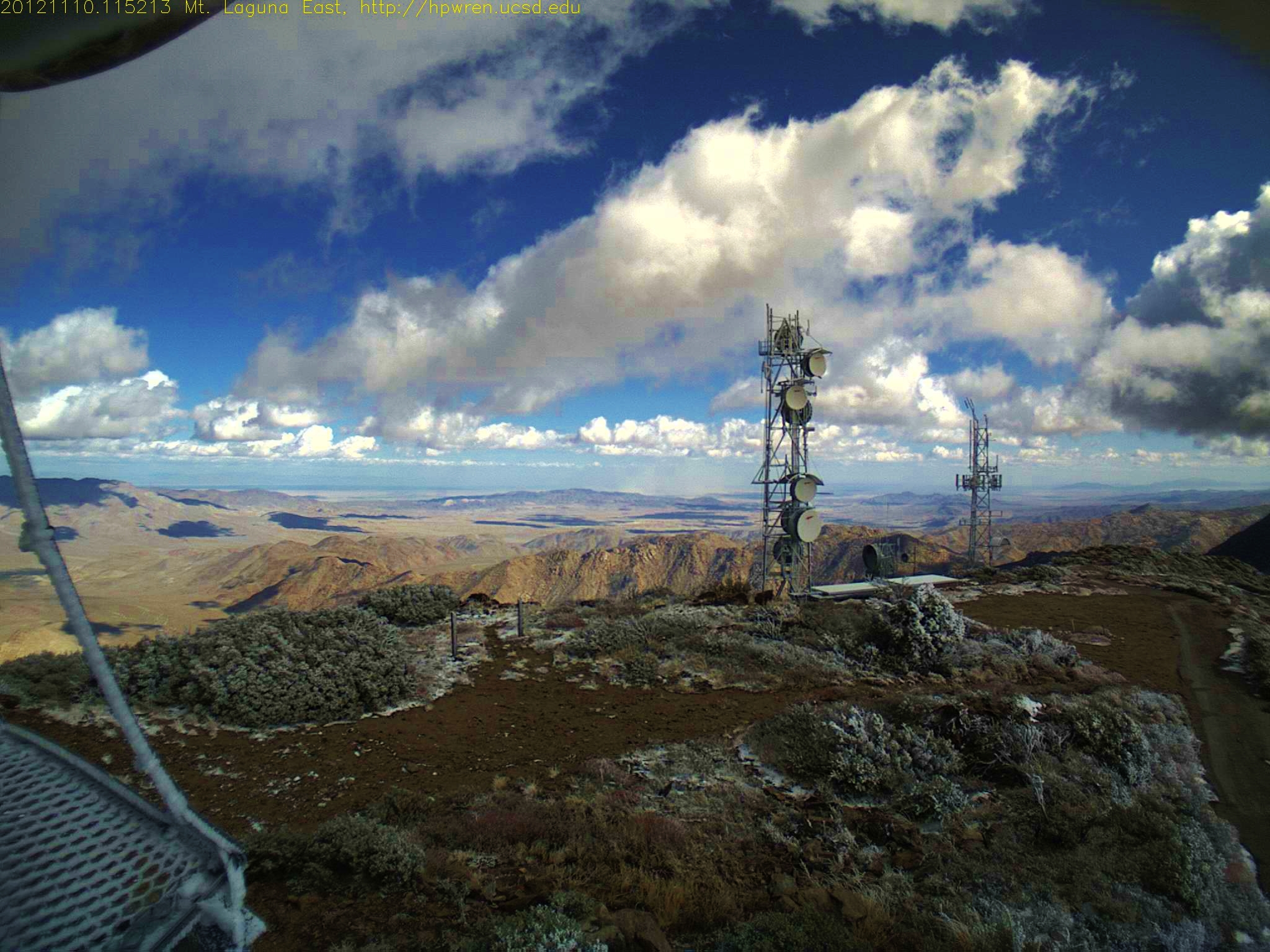
Mt Laguna: After overnight snowfall, a very short break in the clouds
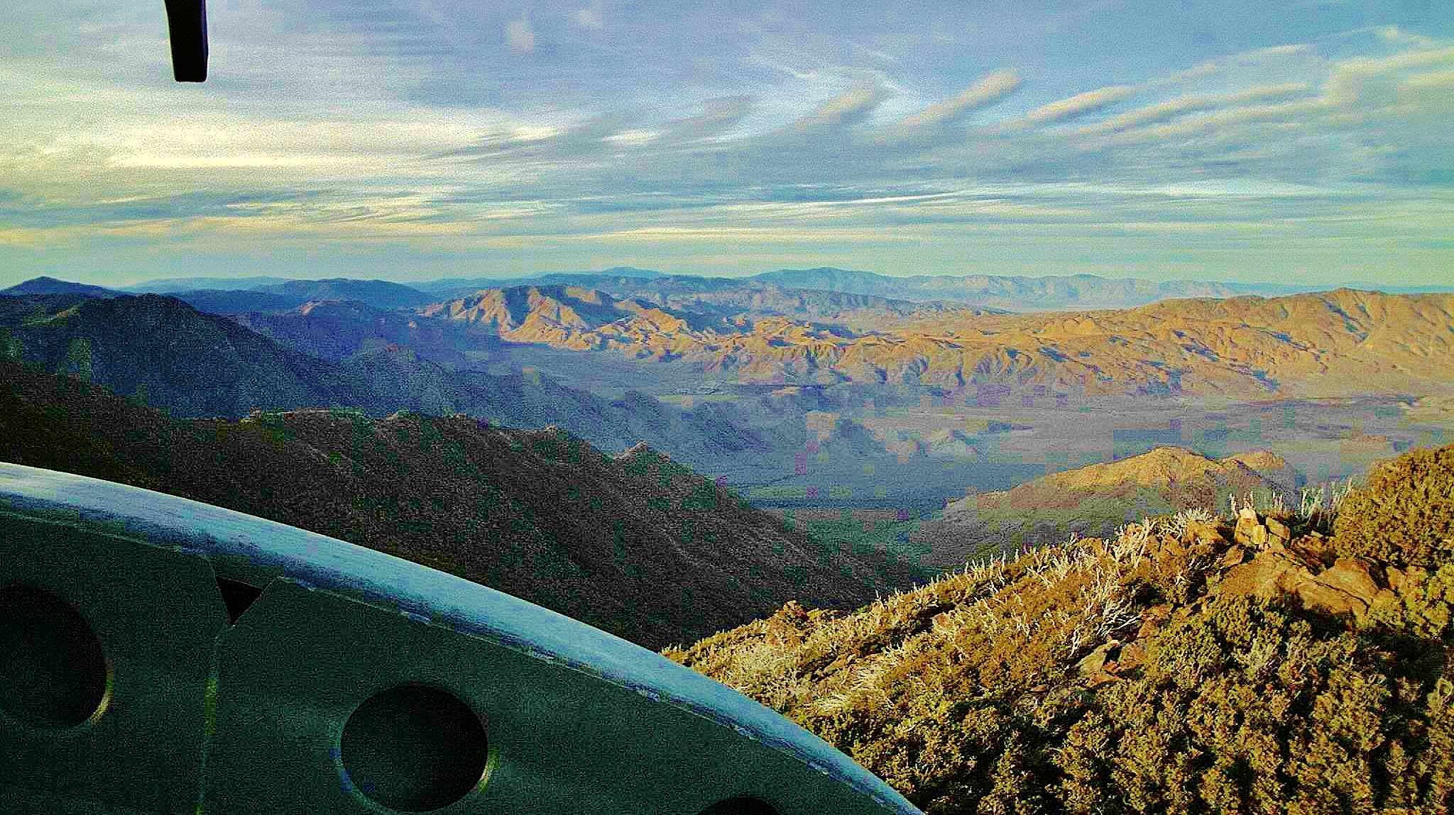
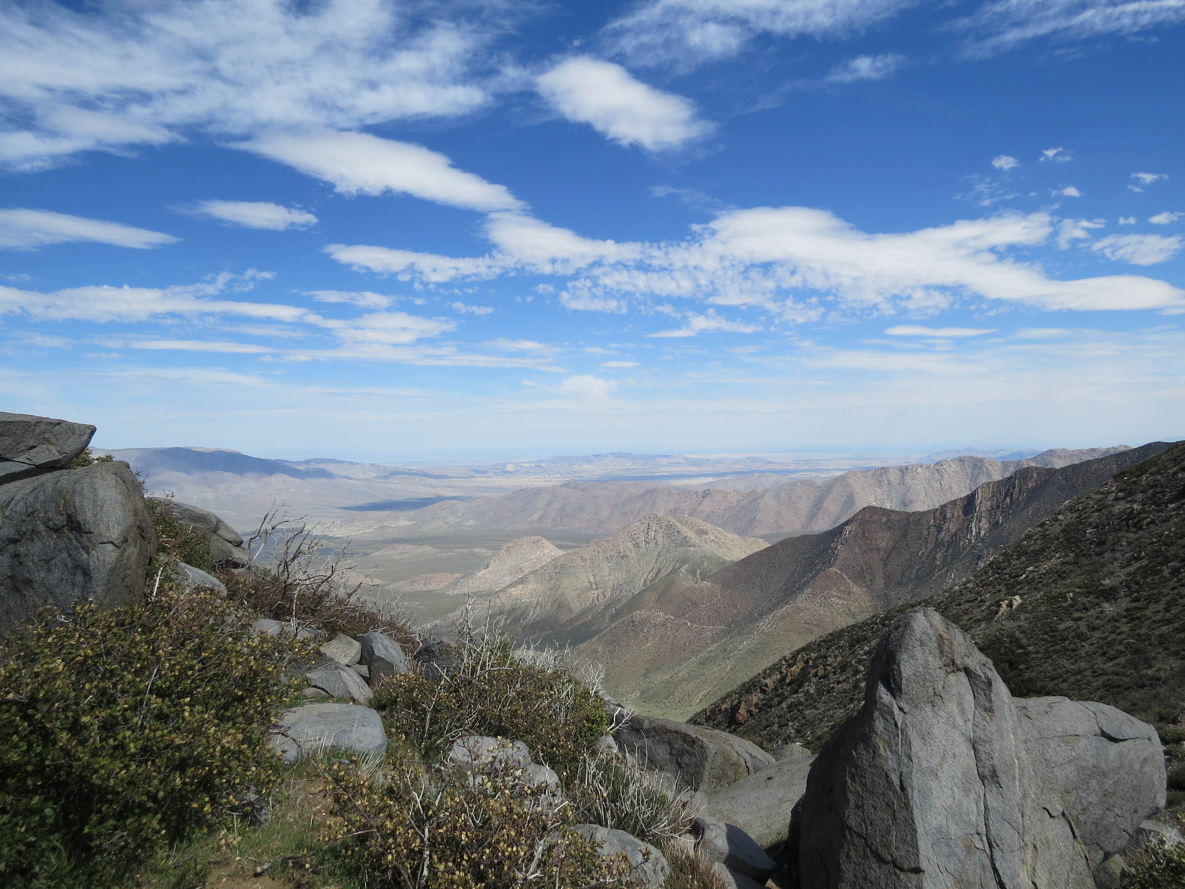
Mt Laguna North view
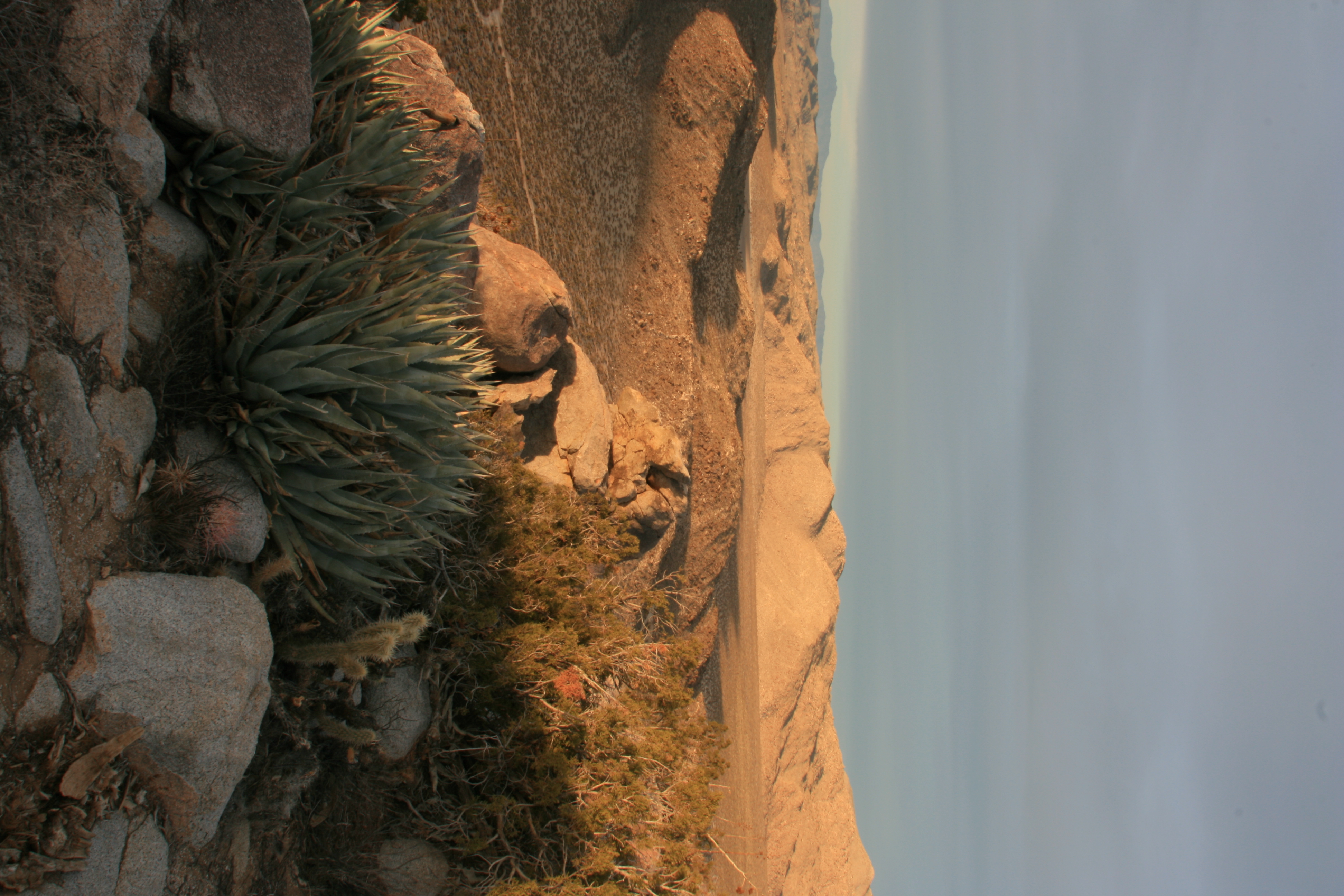
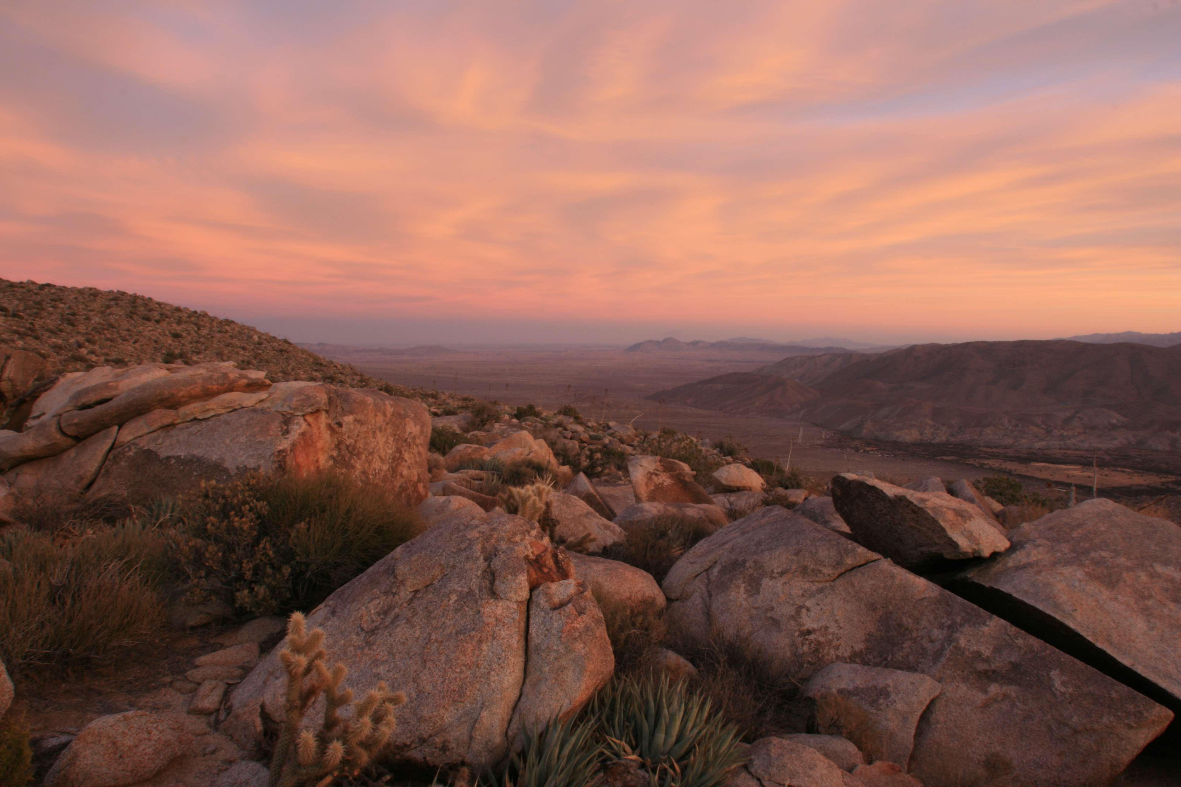
View from atop Ghost Mountain / Yaquitepec
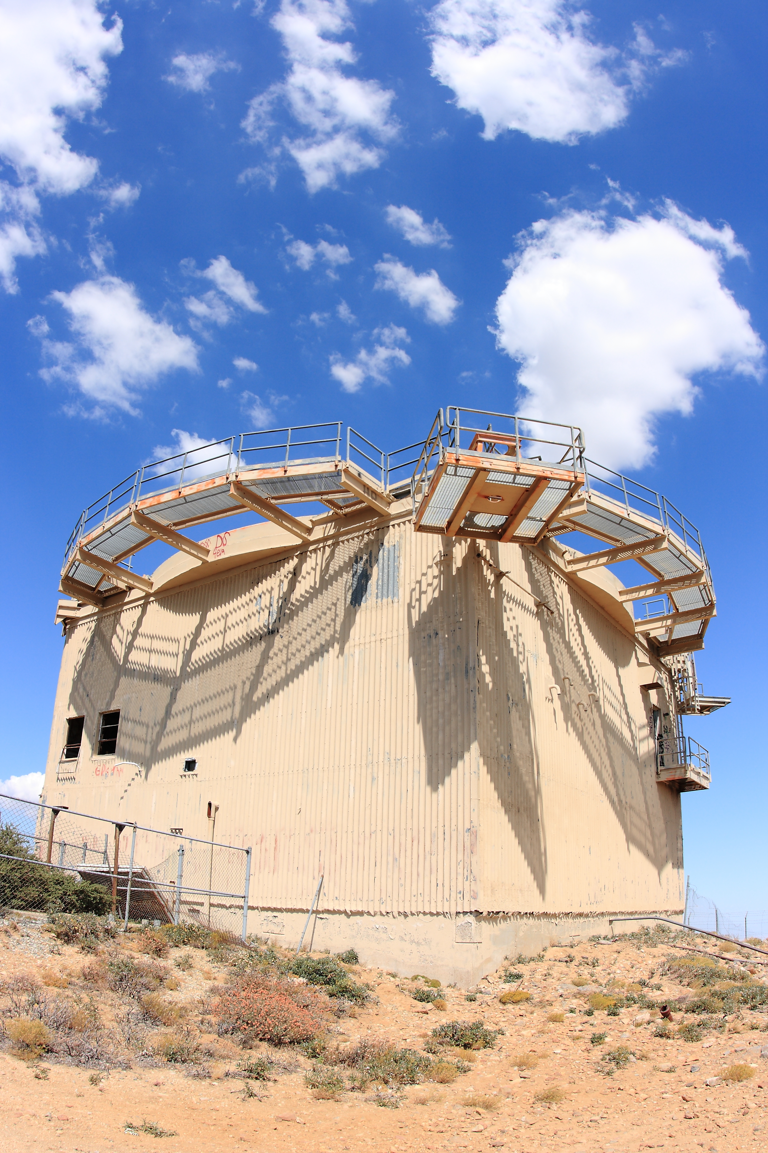
Abandoned Distant Early Warning radar tower on top of Mount Laguna.
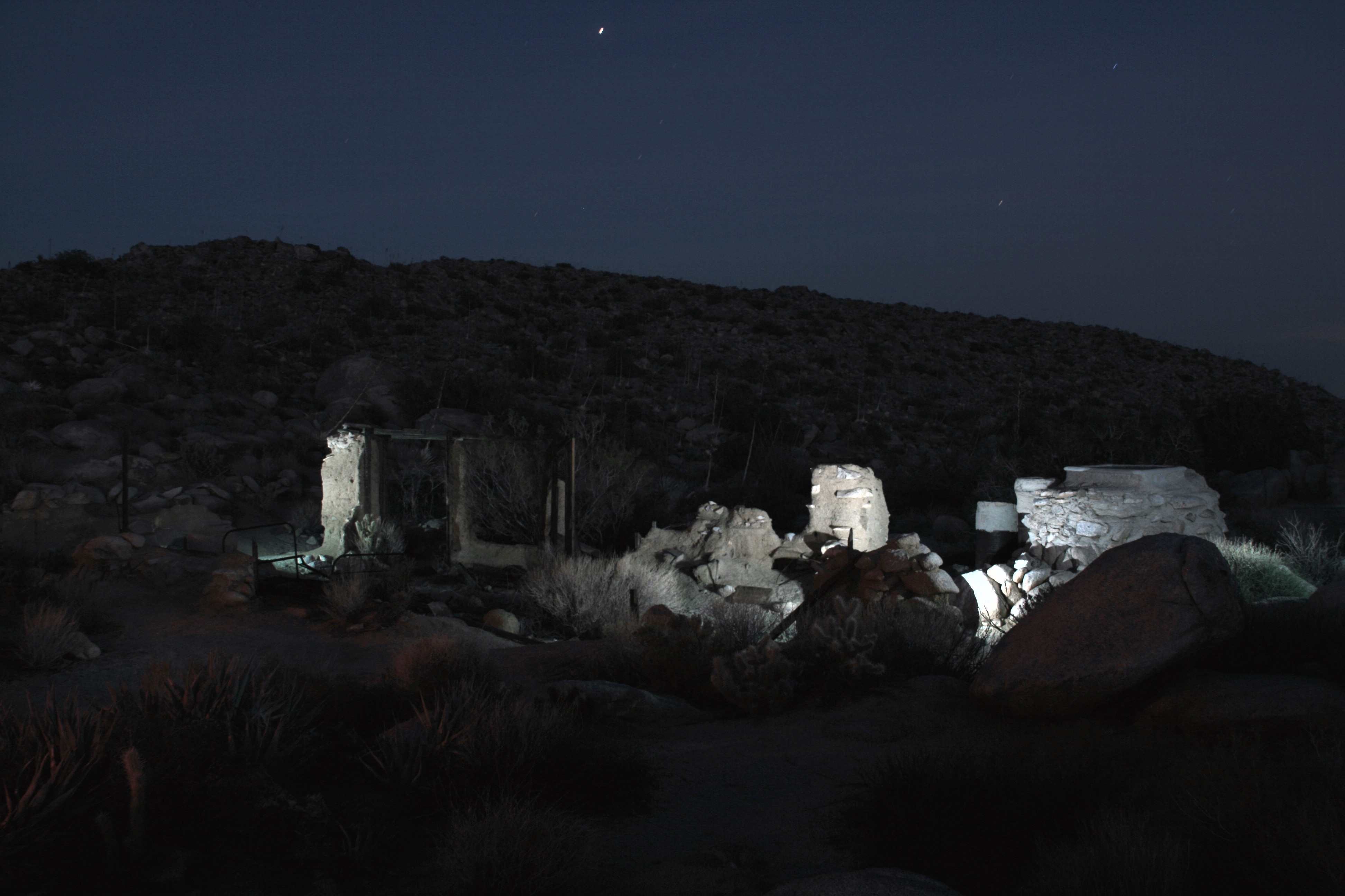
Ruins of the Marshal South house atop Ghost Mountain / Yaquitepec
1352577133.jpg 10-Nov-2012 11:52 AM PST
After-sunset view form atop Ghost Mountain / Yaquitepec
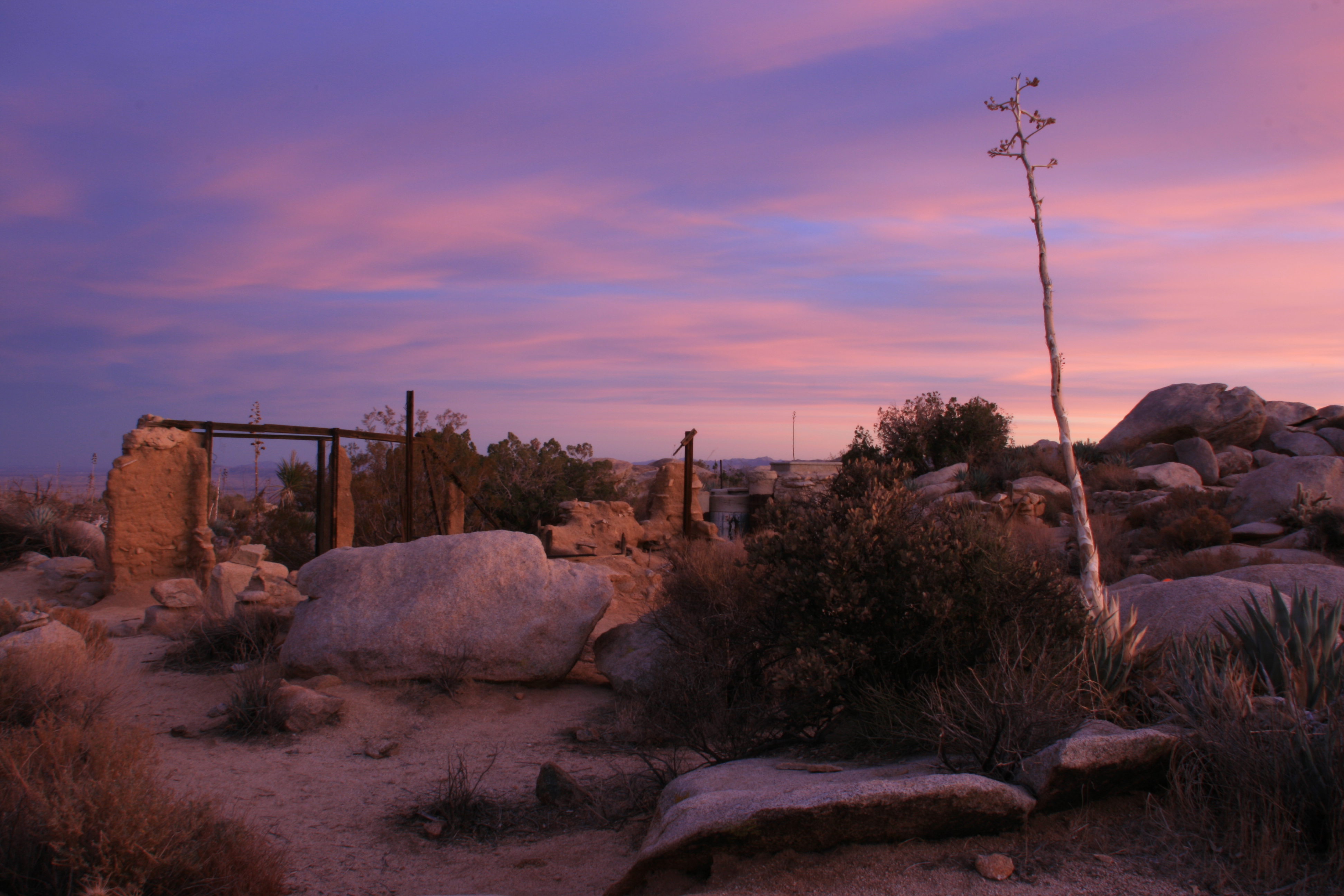
Ruins of the Marshal South house atop Ghost Mountain

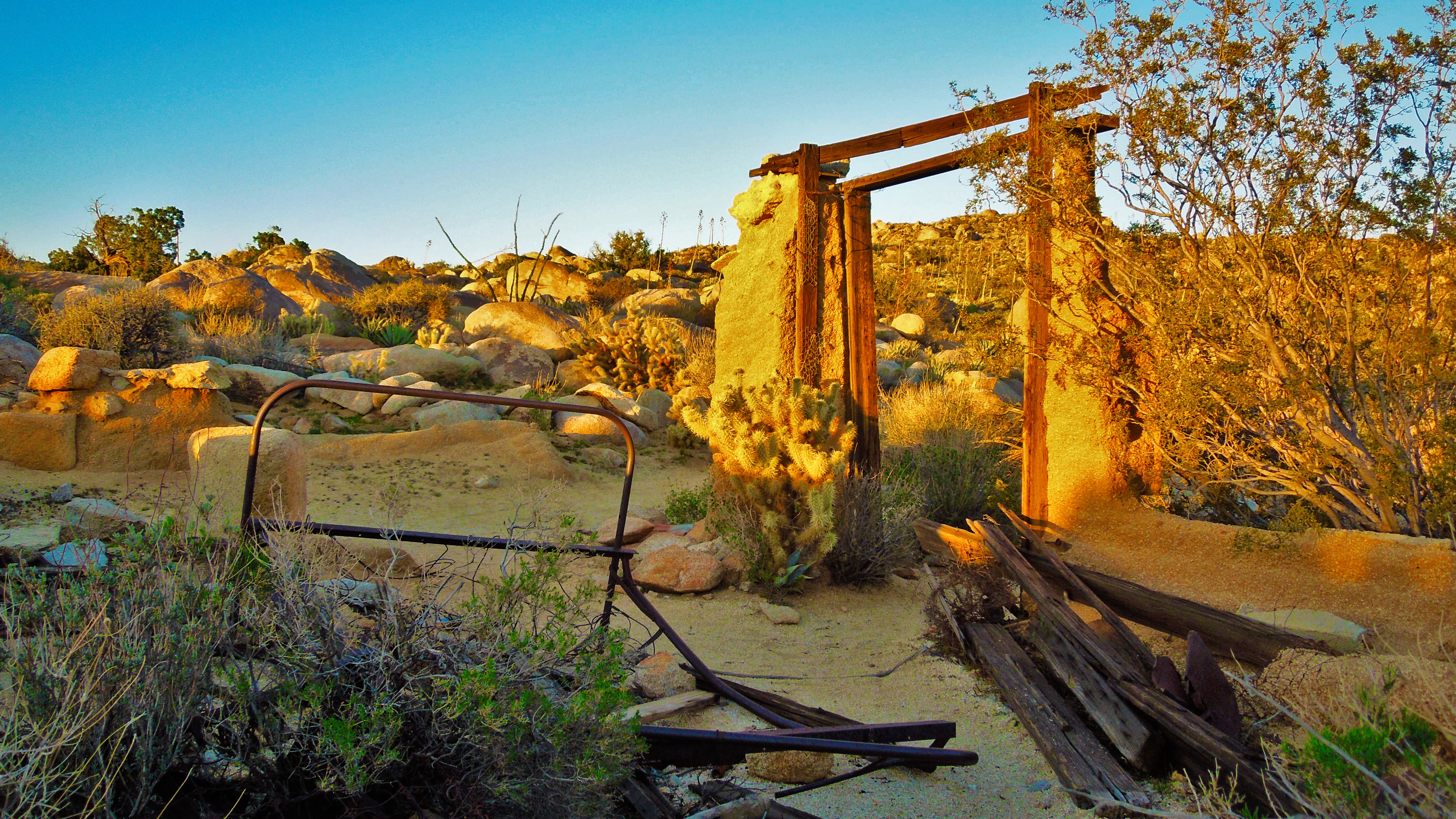
Golden Hour at the Gate
View from Foot and Walker Pass.
Space Dock
1/100 First day sunrise...
View from PCT, near Garnet Peak
View from PCT, near Garnet Peak
Sky Spirals
Milky Way and Stonewall Peak
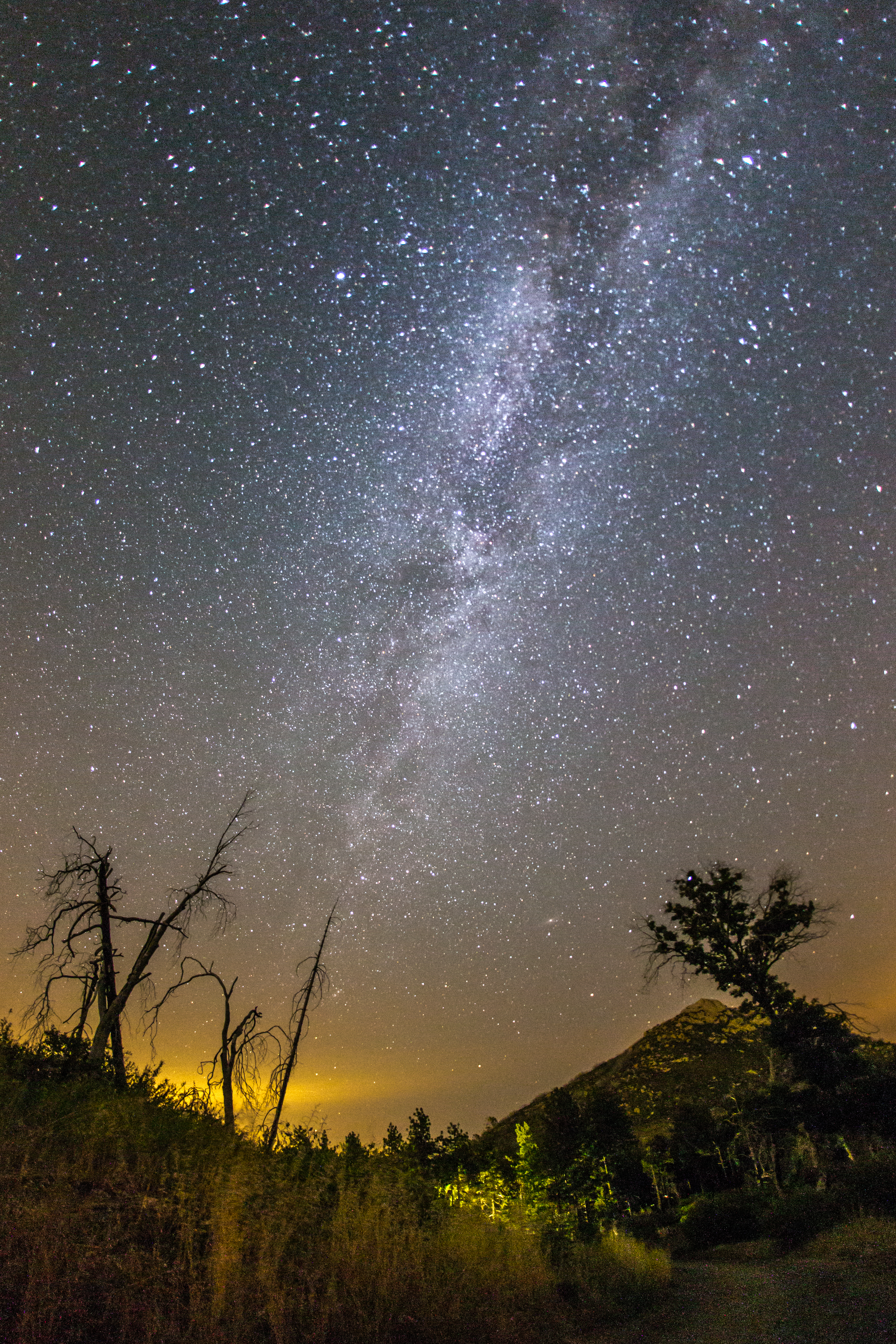
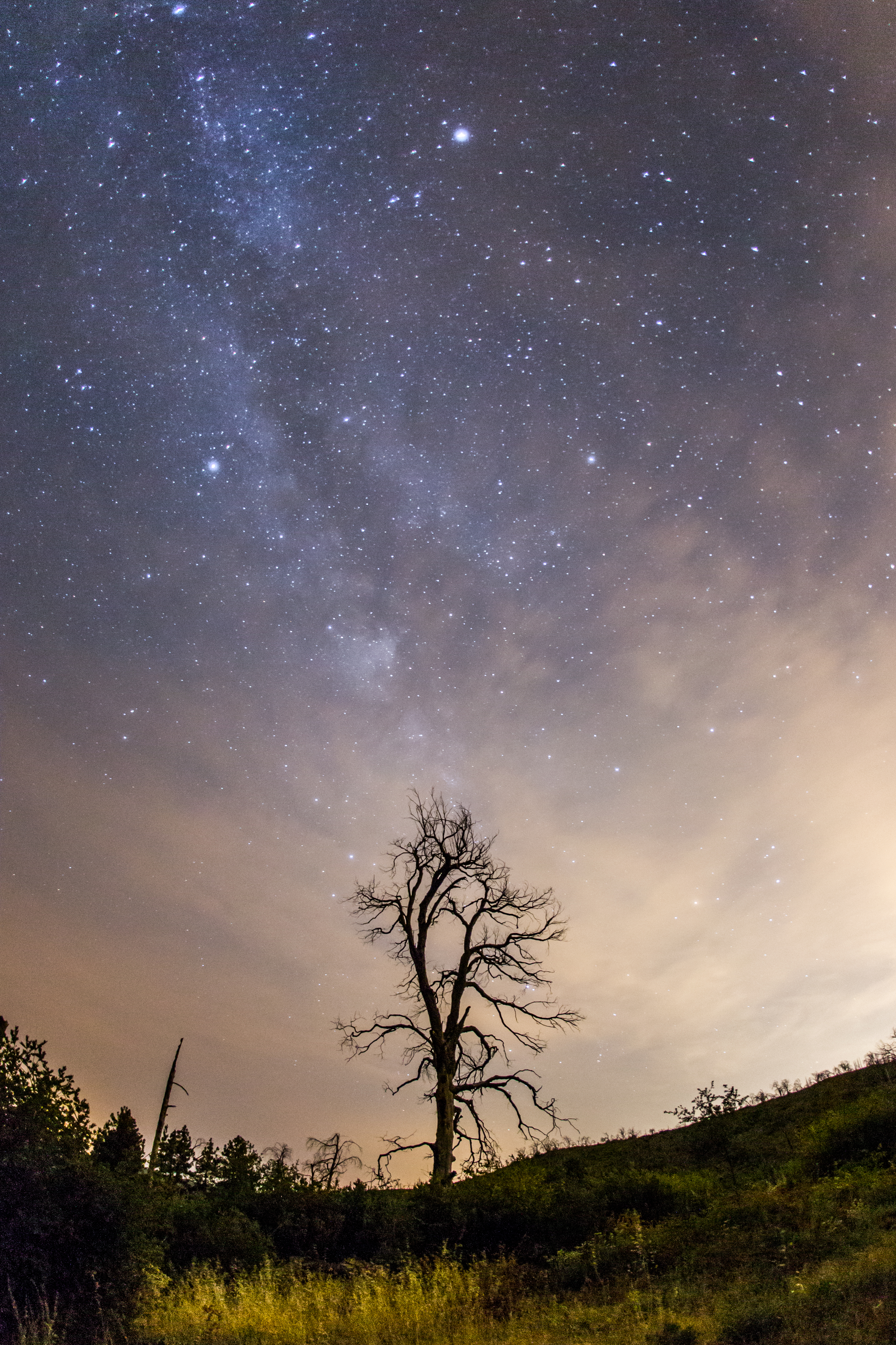
The Milky Way and silhouette of burnt trees

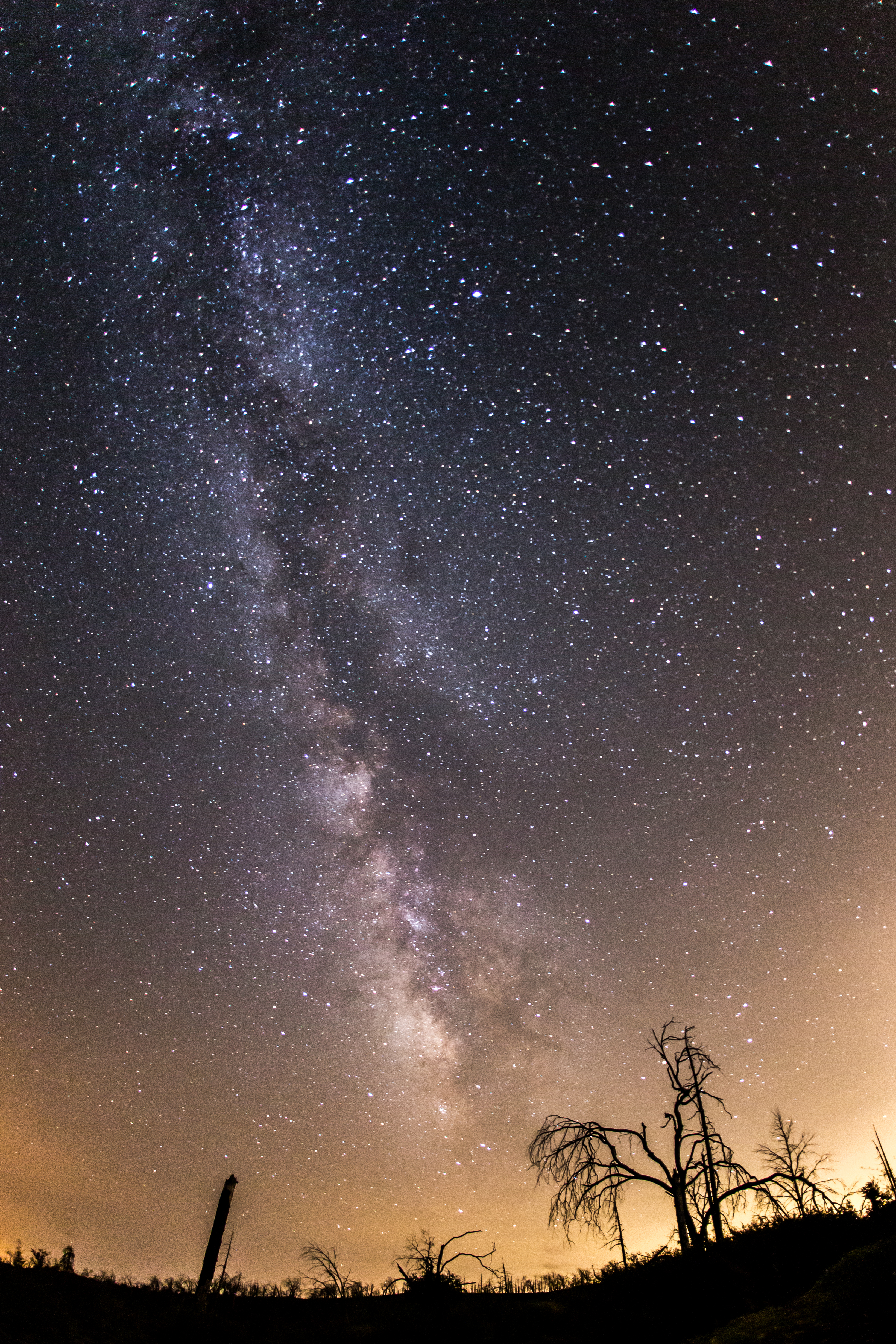
The Milky Way and silhouette of burnt tree

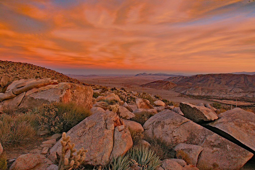
Storm in the Desert
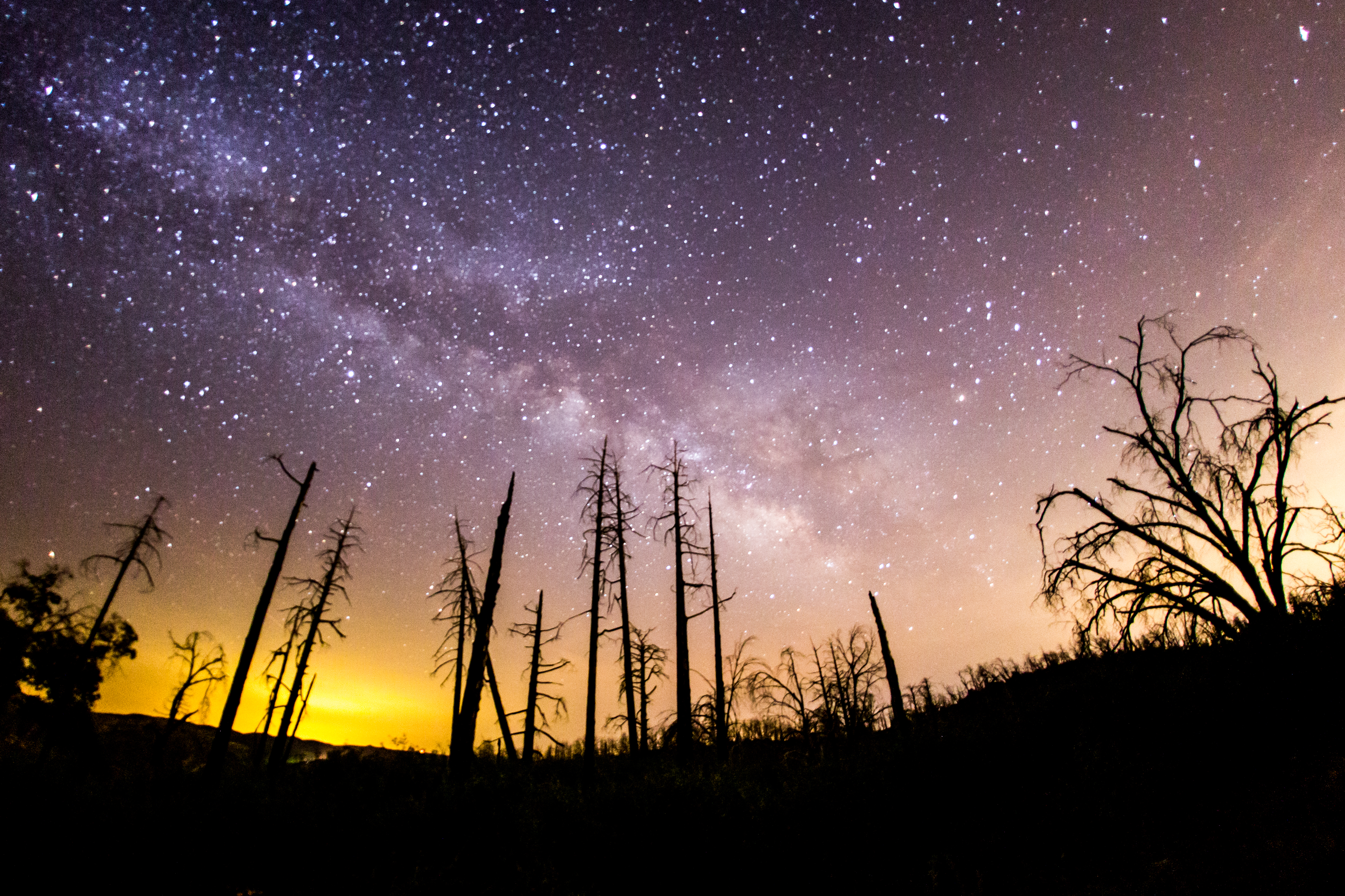
Milky Way and silhouette of burnt trees.
Entrance to Nowhere
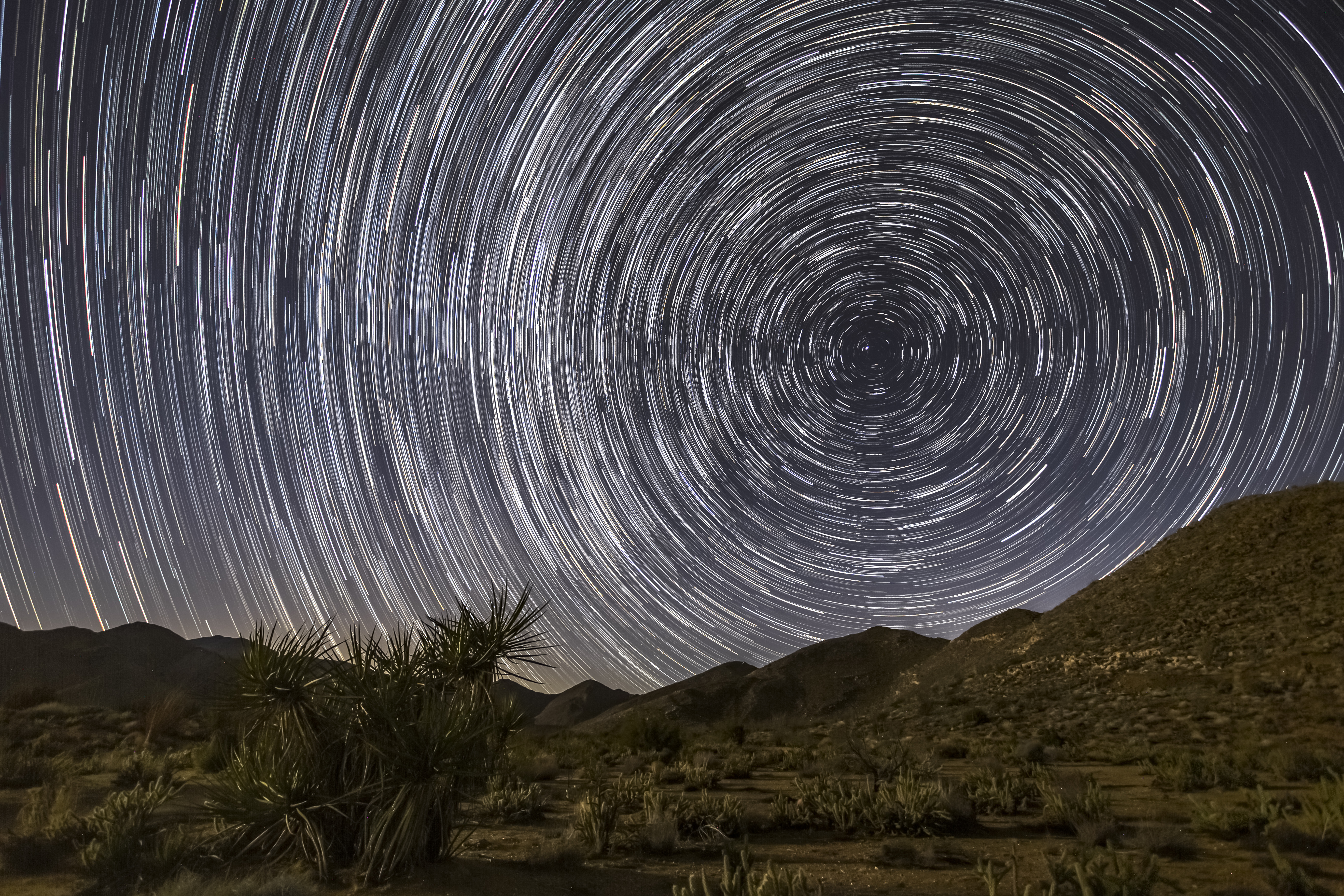
North Star Trails Over Lush Desert Landscape
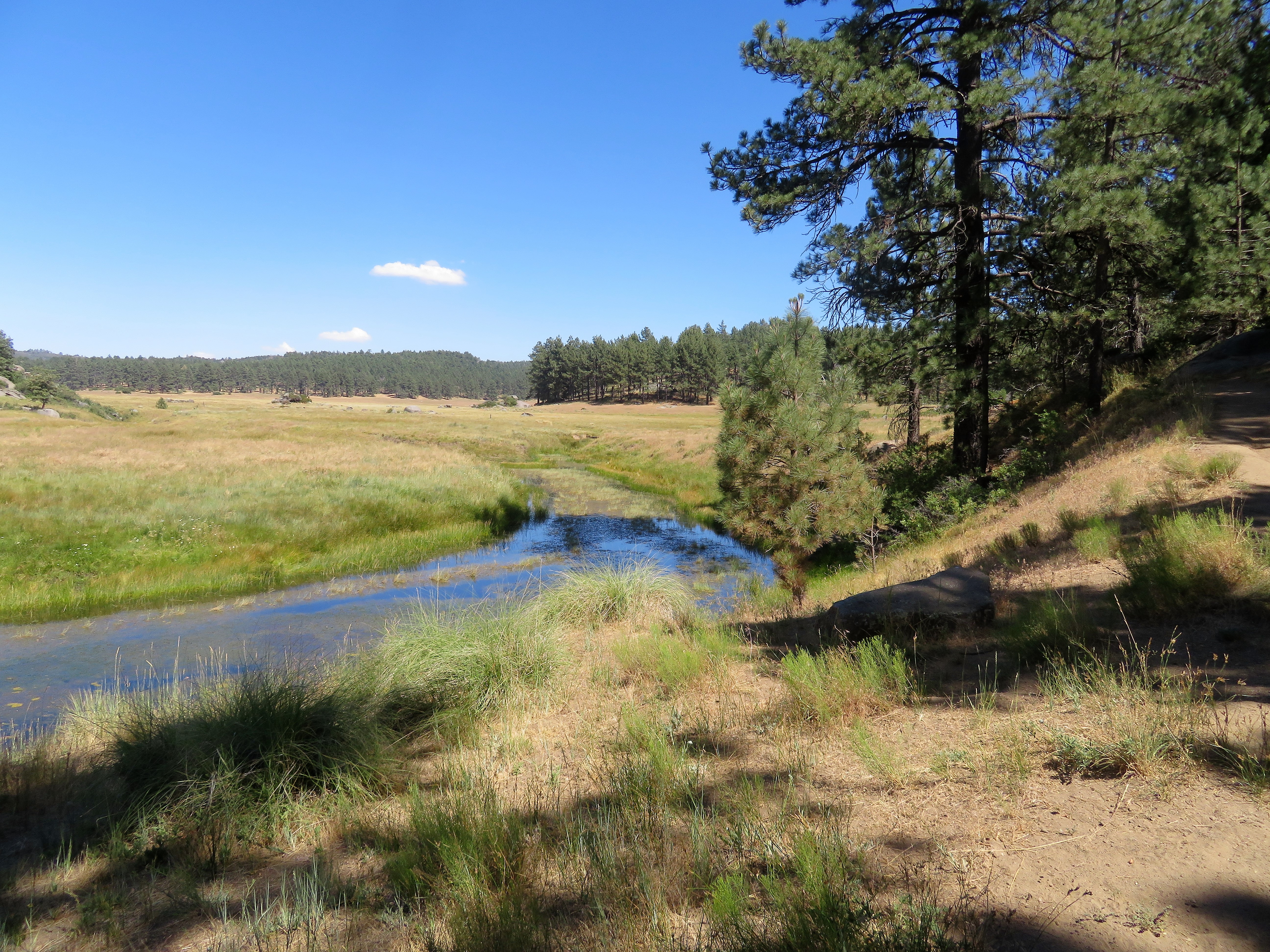
Water of the Woods
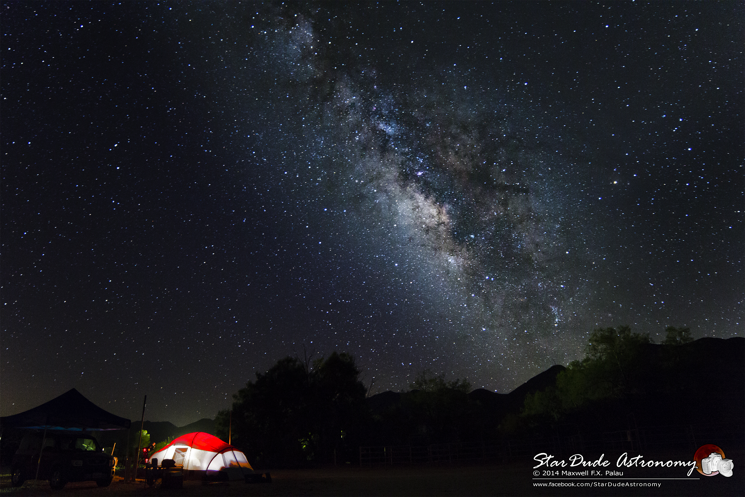
Field of Stars
Galactic Terminal
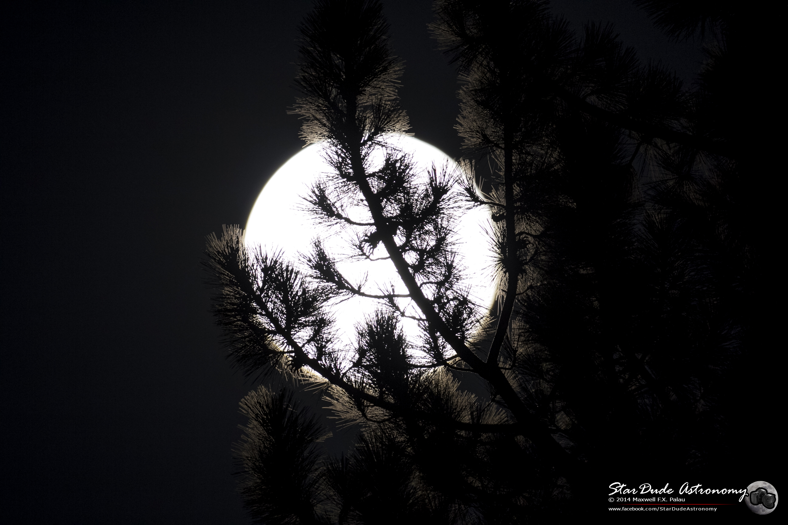
Lunar Glow
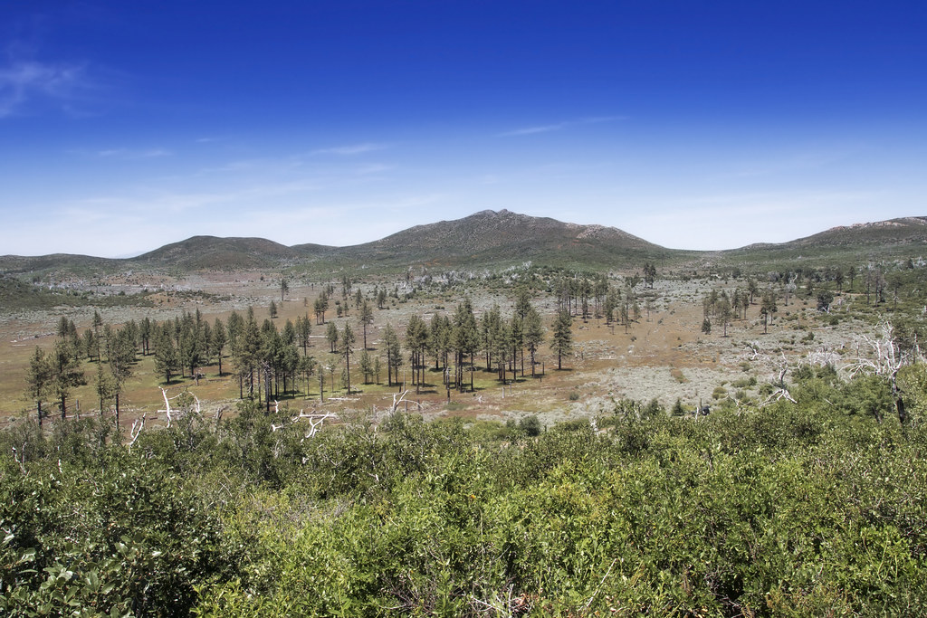
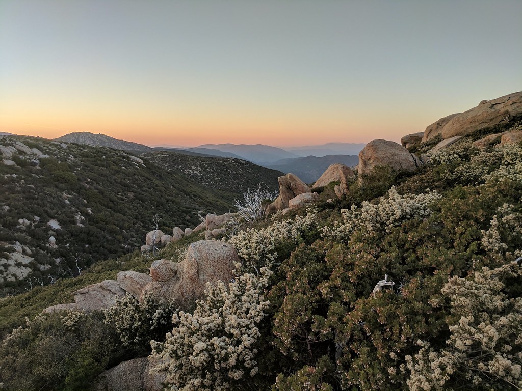
Mountain Meadows and Garnet Peak
The Milky Way at Cuyamaca Rancho State Park
Milky Way and Stonewall Peak
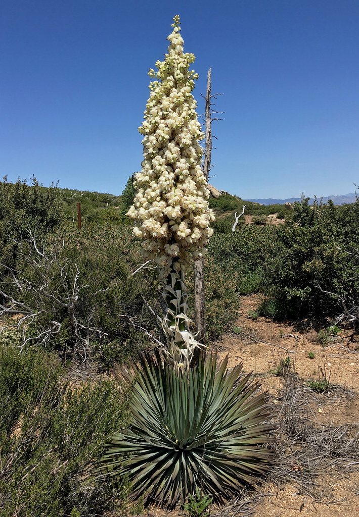
Yucca in Bloom
2017-04-11_03-16-41
Anza Borrego from top of Ghost Mnt. The colour wraps around you like a blanket... D .
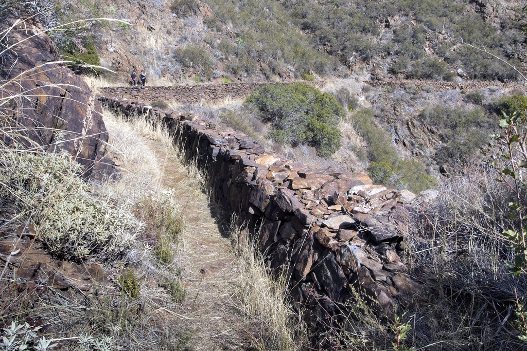
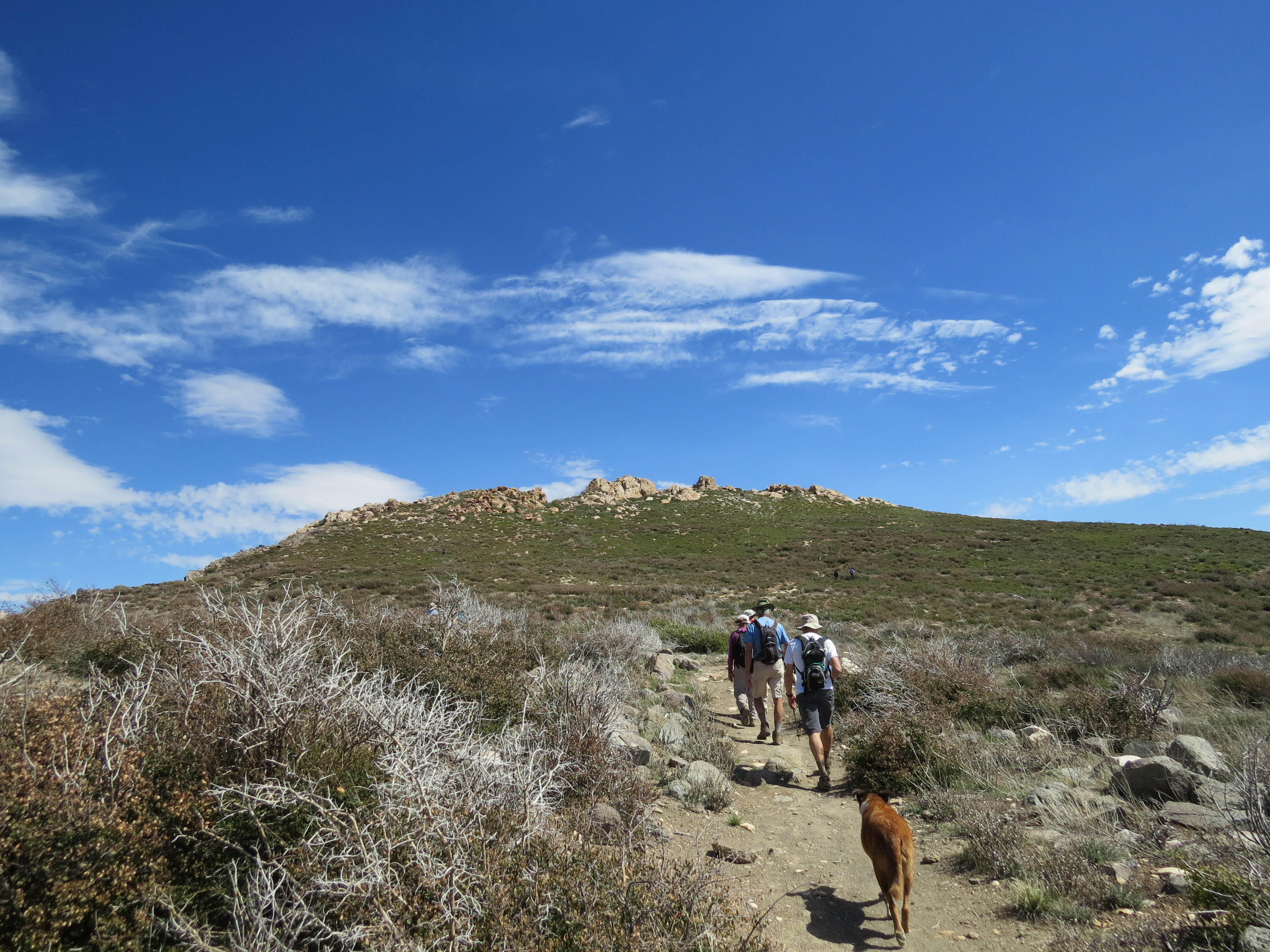
Walking The Pine Valley Flume
Topographic Map of Sunrise Highway, Sunrise Hwy, California, USA
Find elevation by address:

Places near Sunrise Highway, Sunrise Hwy, California, USA:
Kwaaymii Point
Laguna Campground
Sunrise Highway
Monument Peak
Monument Peak Road
13652 Ca-79
Mount Laguna
Julian, CA, USA
Stonewall Peak Trail
Green Valley Falls
Paso Picacho Campground
10499 Ca-79
15027 Ca-79
Lake Cuyamaca Restaurant & Store
Lake Cuyamaca
Cuyamaca Mountains
34606 Navajo Rd
34632 Pima Trail
Cuyamaca Peak
35339 Iron Springs Way
Recent Searches:
- Elevation of Royal Ontario Museum, Queens Park, Toronto, ON M5S 2C6, Canada
- Elevation of Groblershoop, South Africa
- Elevation of Power Generation Enterprises | Industrial Diesel Generators, Oak Ave, Canyon Country, CA, USA
- Elevation of Chesaw Rd, Oroville, WA, USA
- Elevation of N, Mt Pleasant, UT, USA
- Elevation of 6 Rue Jules Ferry, Beausoleil, France
- Elevation of Sattva Horizon, 4JC6+G9P, Vinayak Nagar, Kattigenahalli, Bengaluru, Karnataka, India
- Elevation of Great Brook Sports, Gold Star Hwy, Groton, CT, USA
- Elevation of 10 Mountain Laurels Dr, Nashua, NH, USA
- Elevation of 16 Gilboa Ln, Nashua, NH, USA