Elevation of CA-79, Descanso, CA, USA
Location: United States > California > San Diego County > Descanso >
Longitude: -116.58846
Latitude: 32.872814
Elevation: -10000m / -32808feet
Barometric Pressure: 295KPa
Elevation Map:
Satellite Map:
Related Photos:

Golden Hour at the Gate

Mountain Top Milky Way

Desert Overlook
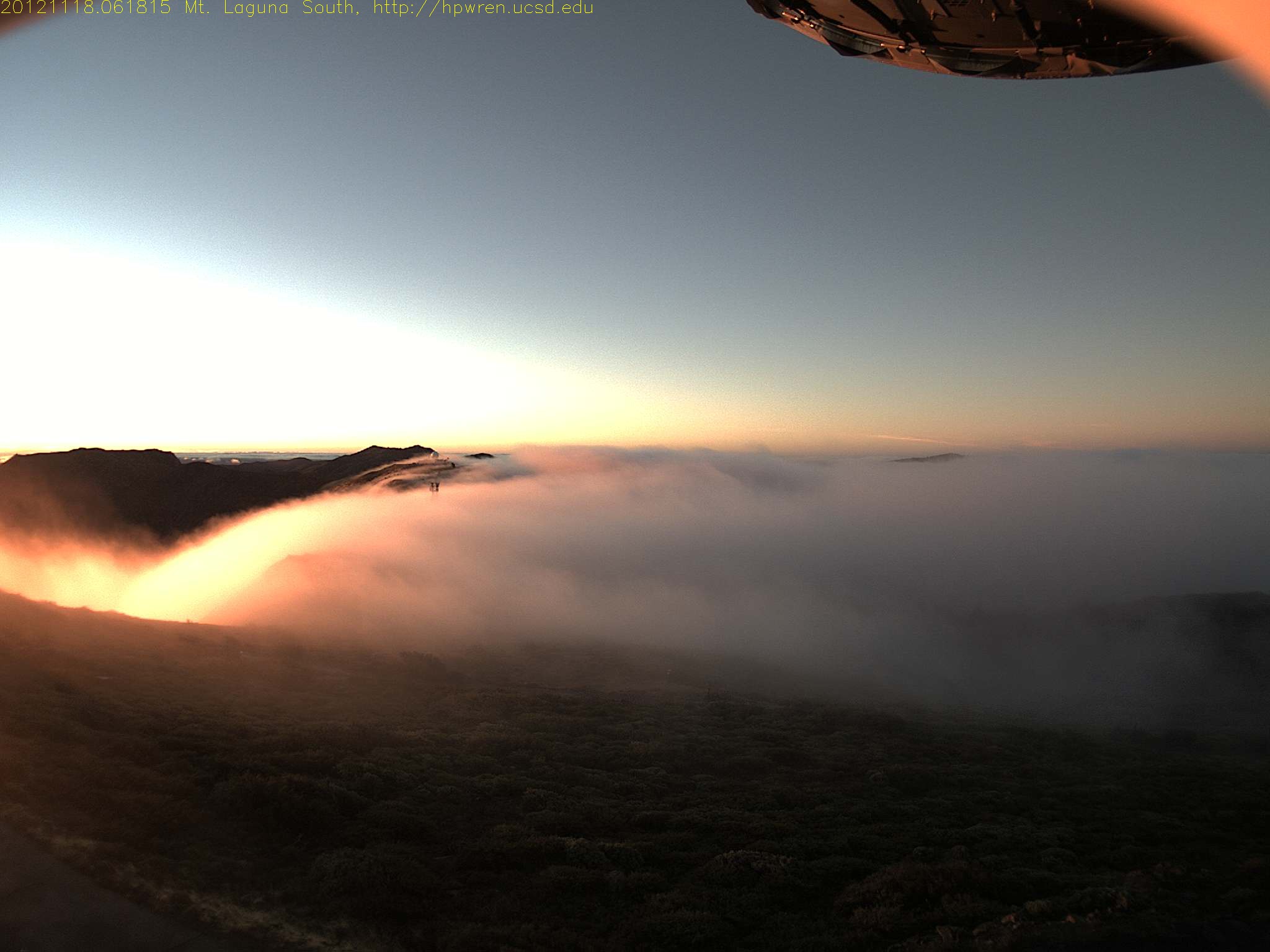
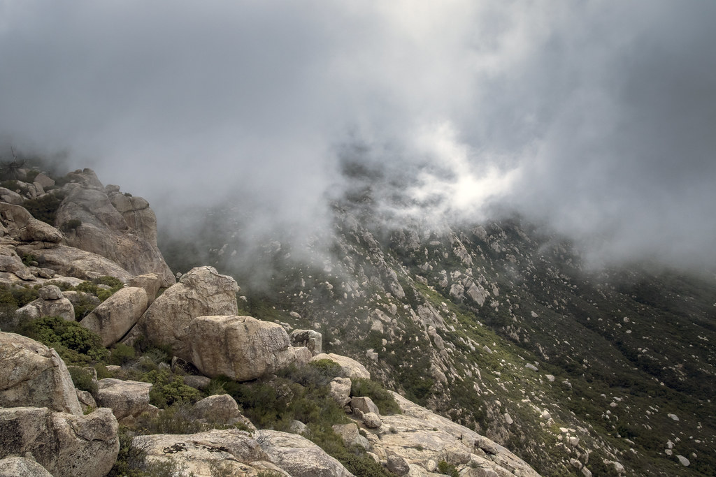
Early morning mist, sunrise at Mt Laguna

Roso's First Trail
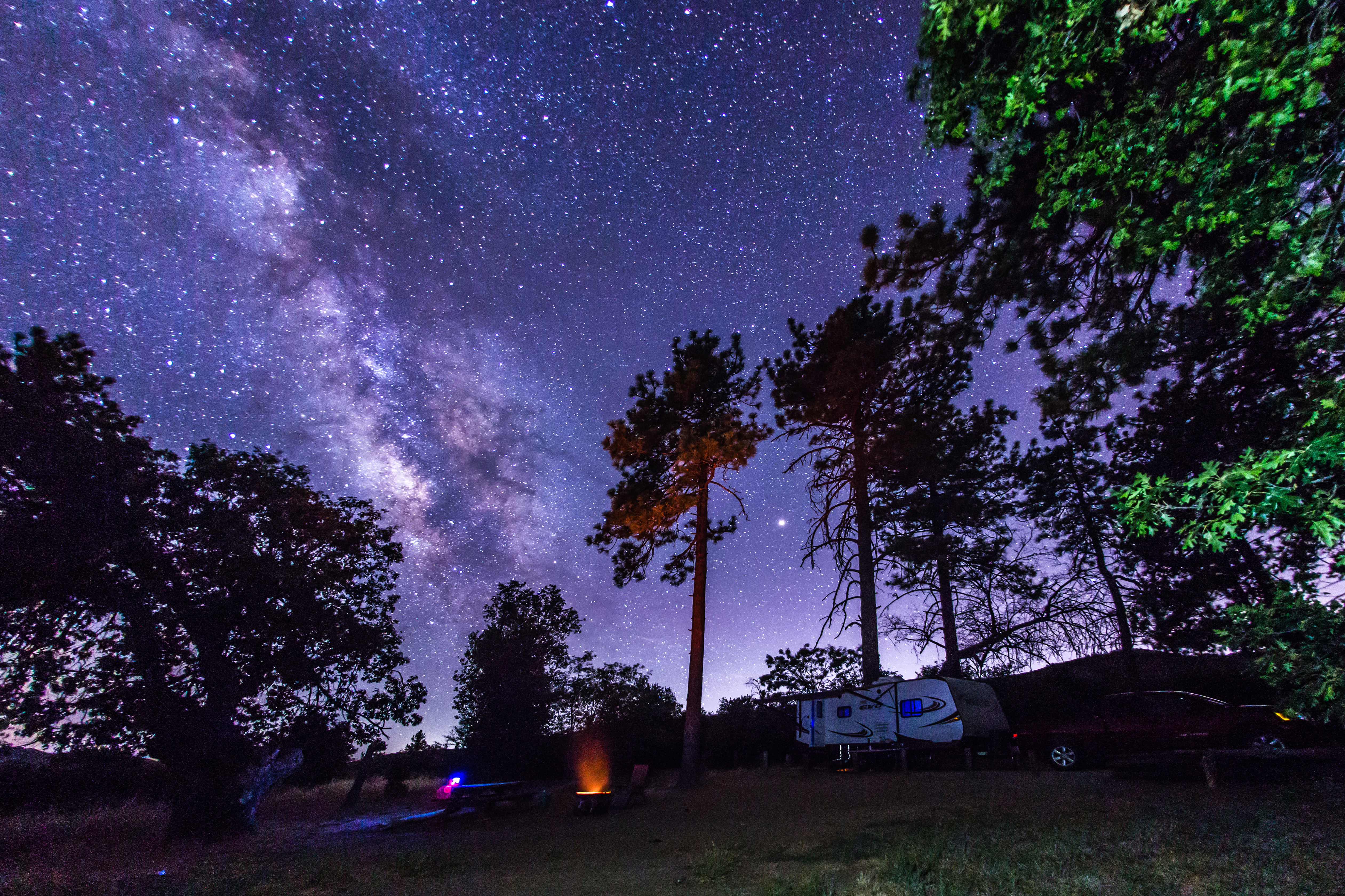
Camping under the Milky Way in Cuyamaca Rancho State Park

Another view from the catwalk

Mt Laguna east view during a snowfall

Stonewall Peak Trail in Cuyamaca Rancho State Park, California

View from Viejas

Nice view
Space Dock

View from PCT, near Garnet Peak

Waterfalls of clouds, Mount Laguna

View from PCT, near Garnet Peak

View from PCT, near Garnet Peak
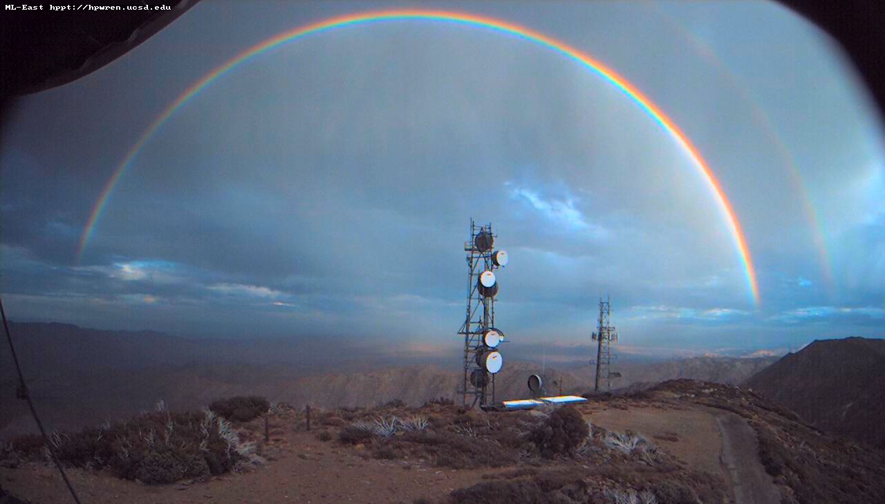
Double rainbow over the desert

Mt Laguna view: Desert sunrise 12~12~2012

Mt Laguna east view at sunrise after overnight snow 1357571173.jpg 07-Jan-2013 0706 AM PST

Mt Laguna North view 07-Nov-2012 08:42 AM PST

Lake Cuyamaca from Stone Wall Peak
Storm Clouds Blowing in

Lunar Glow

Walking The Pine Valley Flume

Yellow Flowers

El Capitan, Yosemite, California

Milky Way Arch Over Stonewall Peak

Sunrise after thunderstorm

Horsethief Canyon

Kwaamyii Point-0081

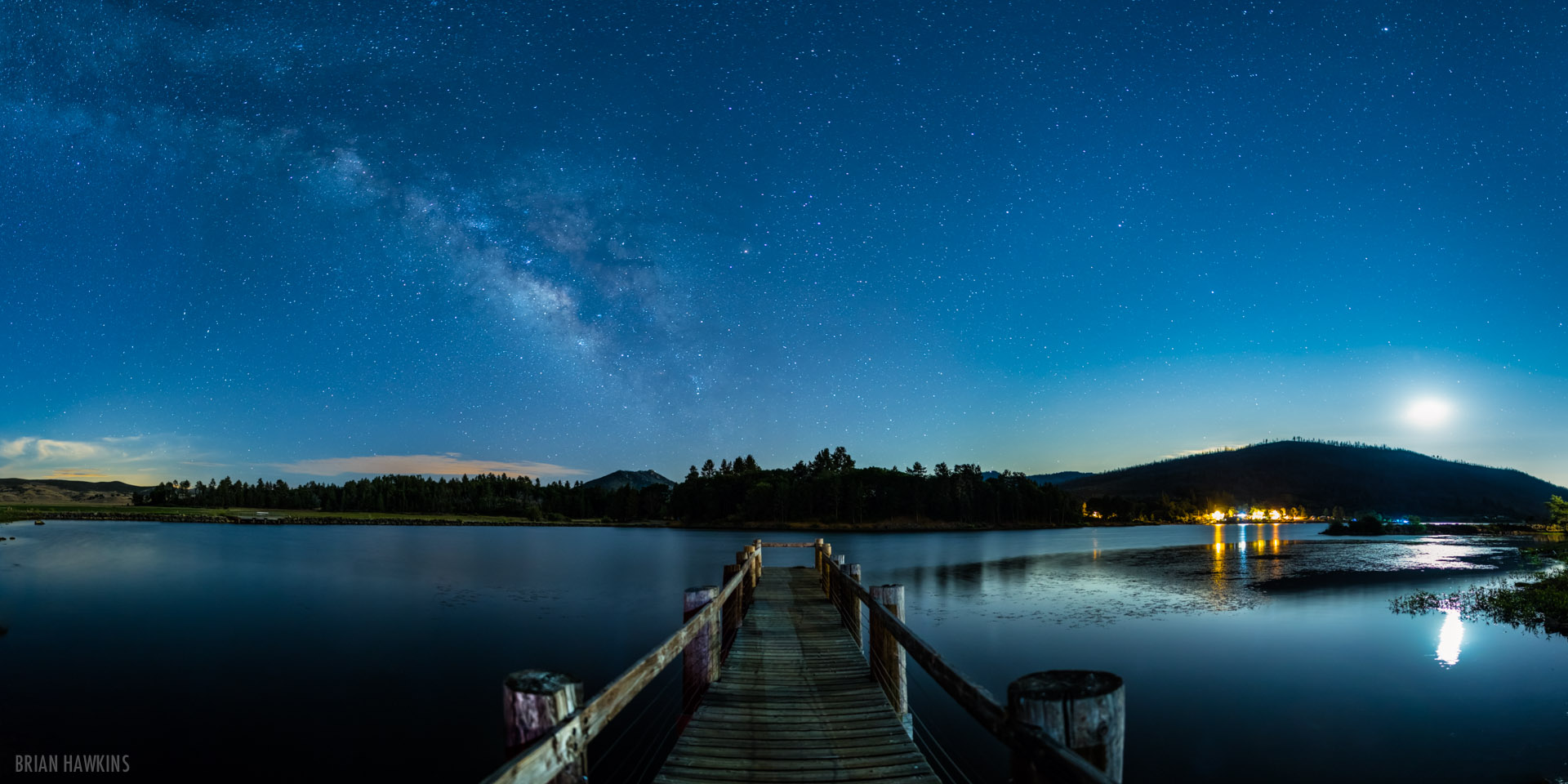
Big Laguna Lake

Water of the Woods

Look, there's more snow down there too

Kwaamyii Point-0084

Kwaamyii Point-0078

The Milky Way at Cuyamaca Rancho State Park

Mountain Meadows and Garnet Peak

Milky Way and Stonewall Peak

Milky Way and Stonewall Peak
Topographic Map of CA-79, Descanso, CA, USA
Find elevation by address:

Places near CA-79, Descanso, CA, USA:
Green Valley Falls
Boulder Creek Rd, Descanso, CA, USA
10683 Boulder Creek Rd
13652 Ca-79
Cuyamaca Mountains
Cuyamaca Peak
Paso Picacho Campground
Stonewall Peak Trail
15027 Ca-79
Lake Cuyamaca Restaurant & Store
Lake Cuyamaca
Sunrise Highway
14741 Boulder Creek Rd
Kwaaymii Point
34606 Navajo Rd
34632 Pima Trail
7904 Engineers Rd
Laguna Campground
7077 Sandy Creek Rd
5764 Grandview Way
Recent Searches:
- Elevation of Gateway Blvd SE, Canton, OH, USA
- Elevation of East W.T. Harris Boulevard, E W.T. Harris Blvd, Charlotte, NC, USA
- Elevation of West Sugar Creek, Charlotte, NC, USA
- Elevation of Wayland, NY, USA
- Elevation of Steadfast Ct, Daphne, AL, USA
- Elevation of Lagasgasan, X+CQH, Tiaong, Quezon, Philippines
- Elevation of Rojo Ct, Atascadero, CA, USA
- Elevation of Flagstaff Drive, Flagstaff Dr, North Carolina, USA
- Elevation of Avery Ln, Lakeland, FL, USA
- Elevation of Woolwine, VA, USA