Elevation of Monument Peak, California, USA
Location: United States > California > San Diego County > Mount Laguna >
Longitude: -116.42029
Latitude: 32.8925502
Elevation: 1904m / 6247feet
Barometric Pressure: 80KPa
Elevation Map:
Satellite Map:
Related Photos:
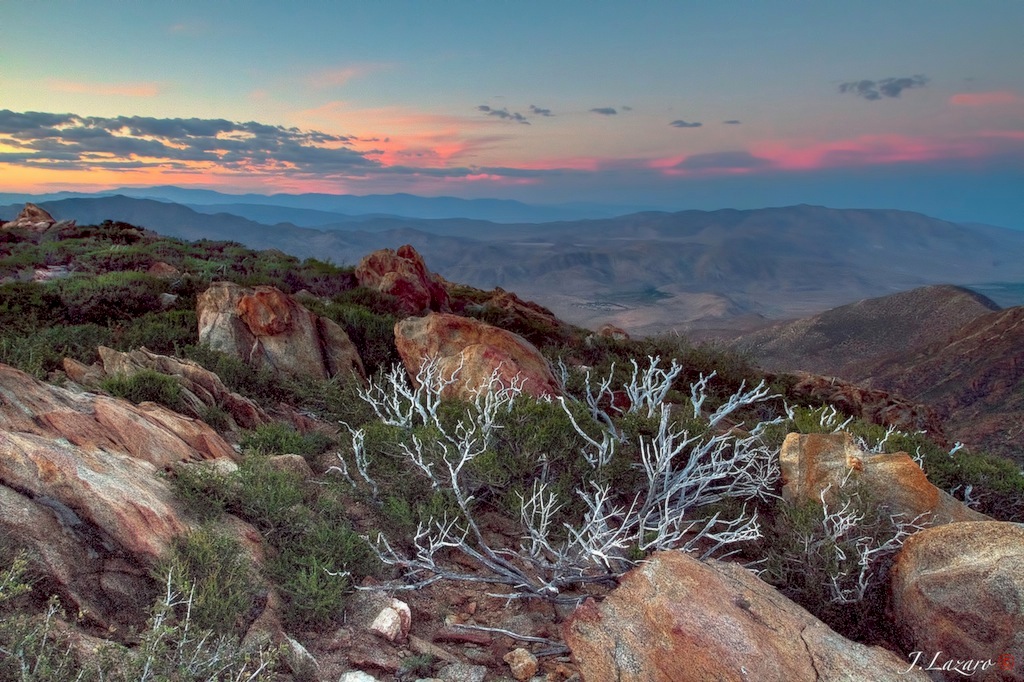
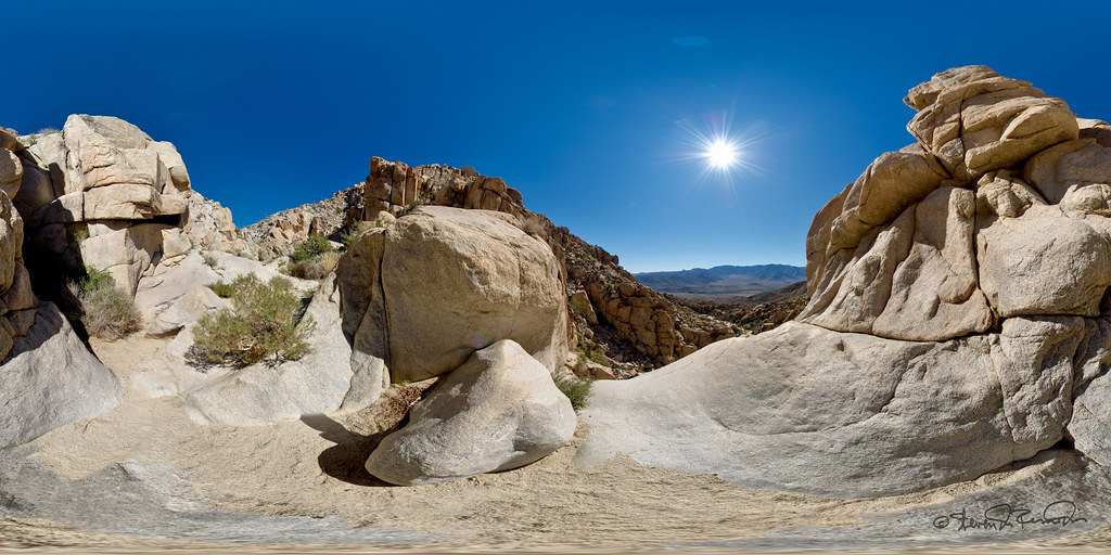
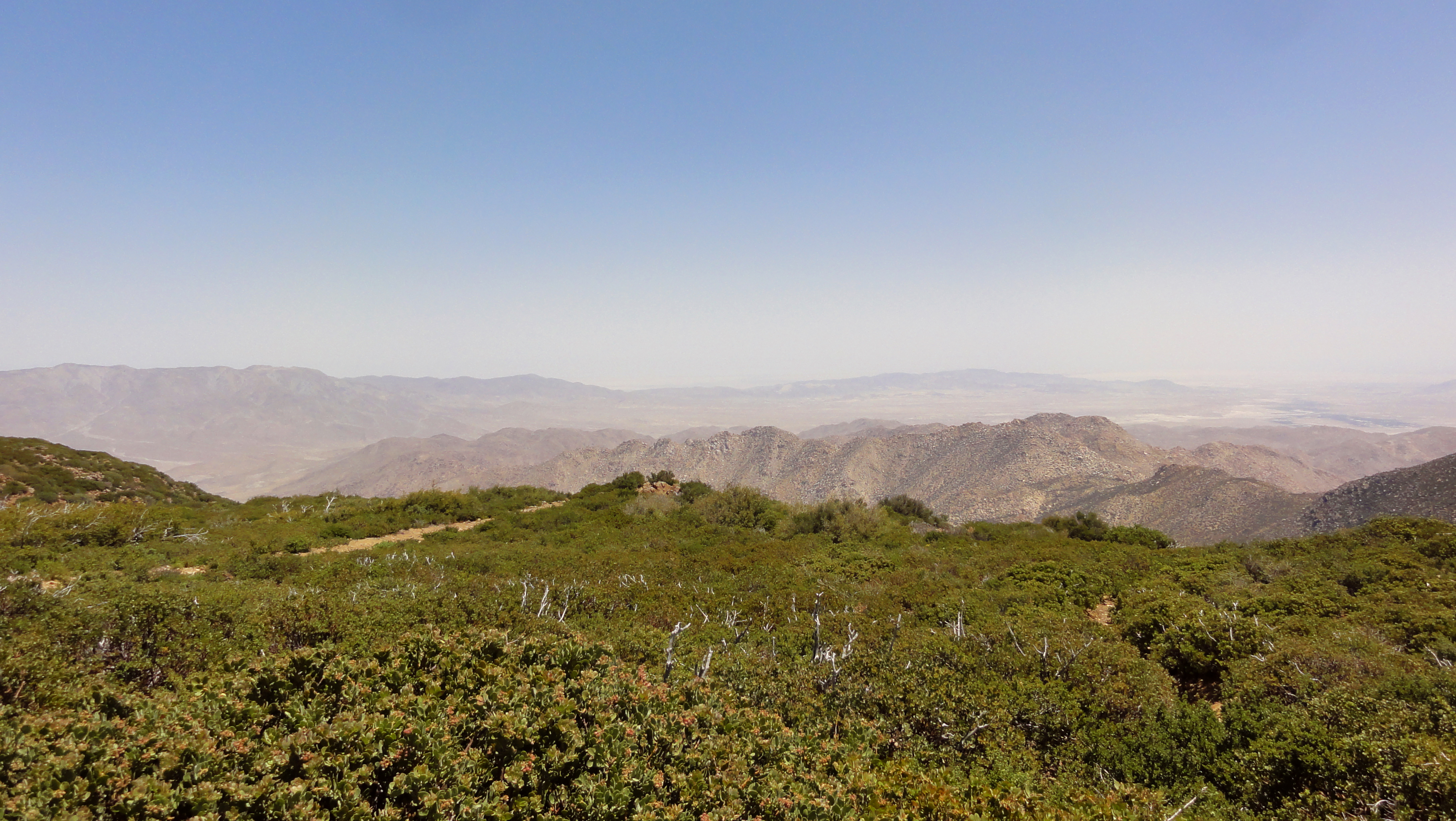
The Anza Borrego Desert View ⓒ
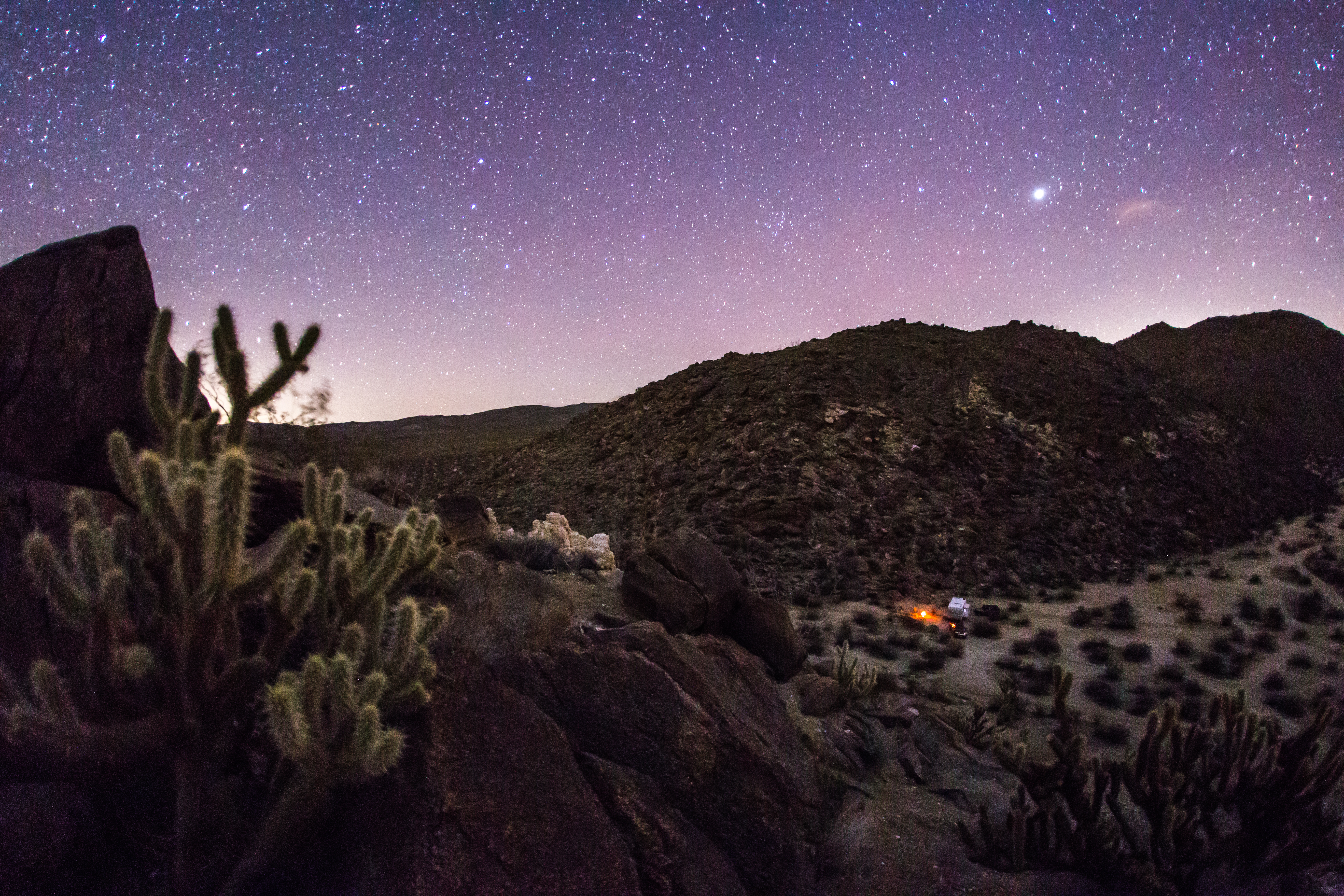
Nighttime view of my campsite in the Blair Valley area of Anza-Borrego Desert State Park
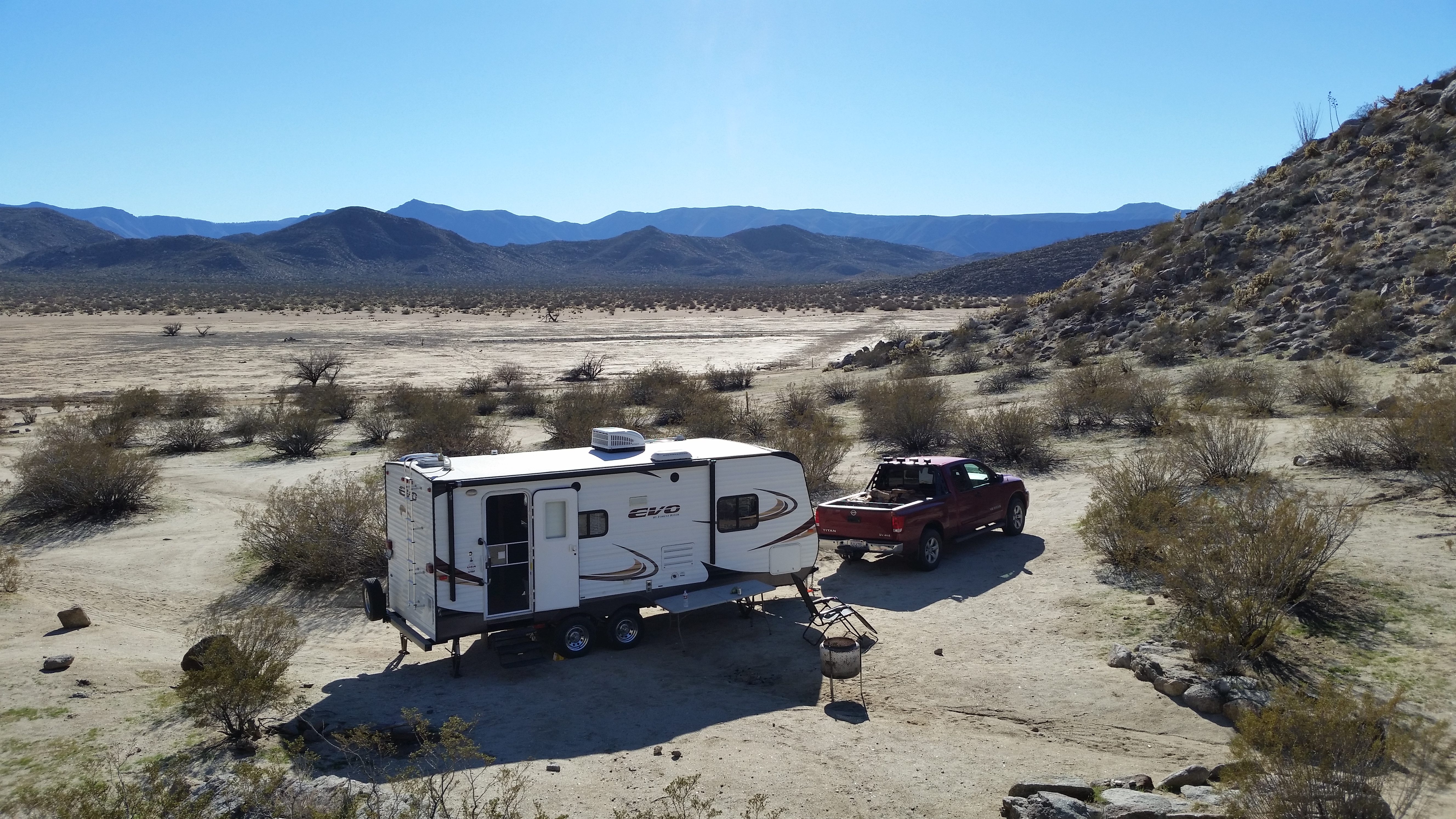
Another view of my campsite. Blair Valley dry lake bed in the background.
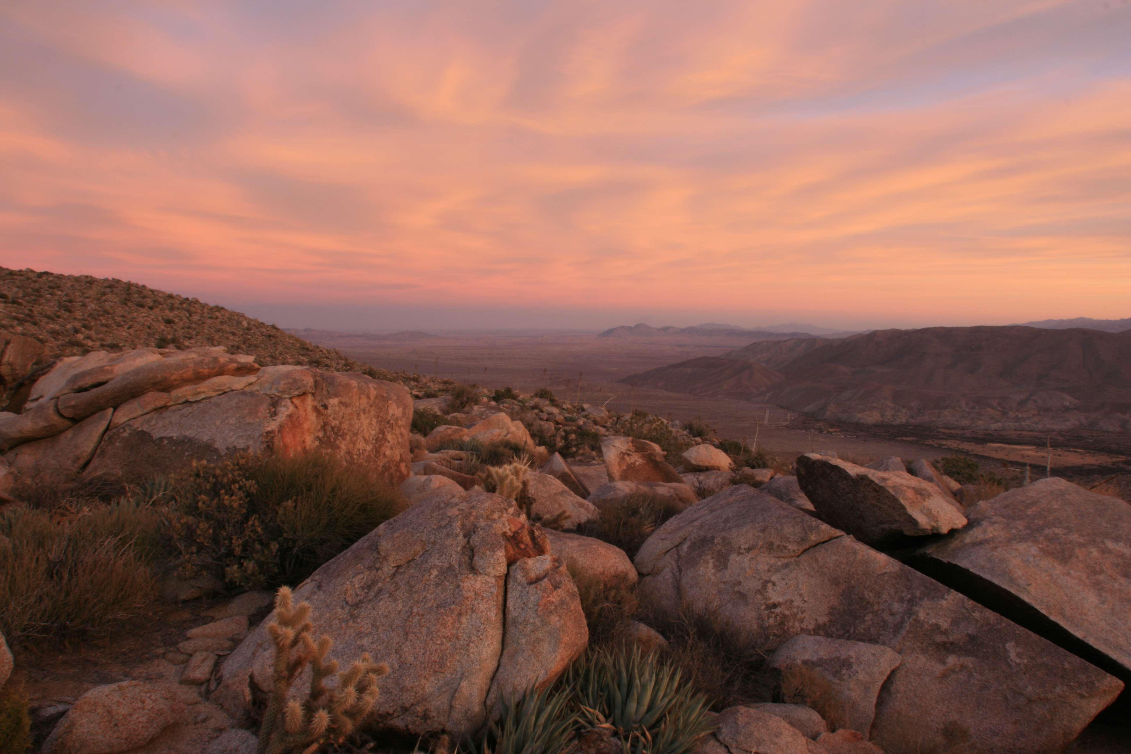
After-sunset view form atop Ghost Mountain / Yaquitepec
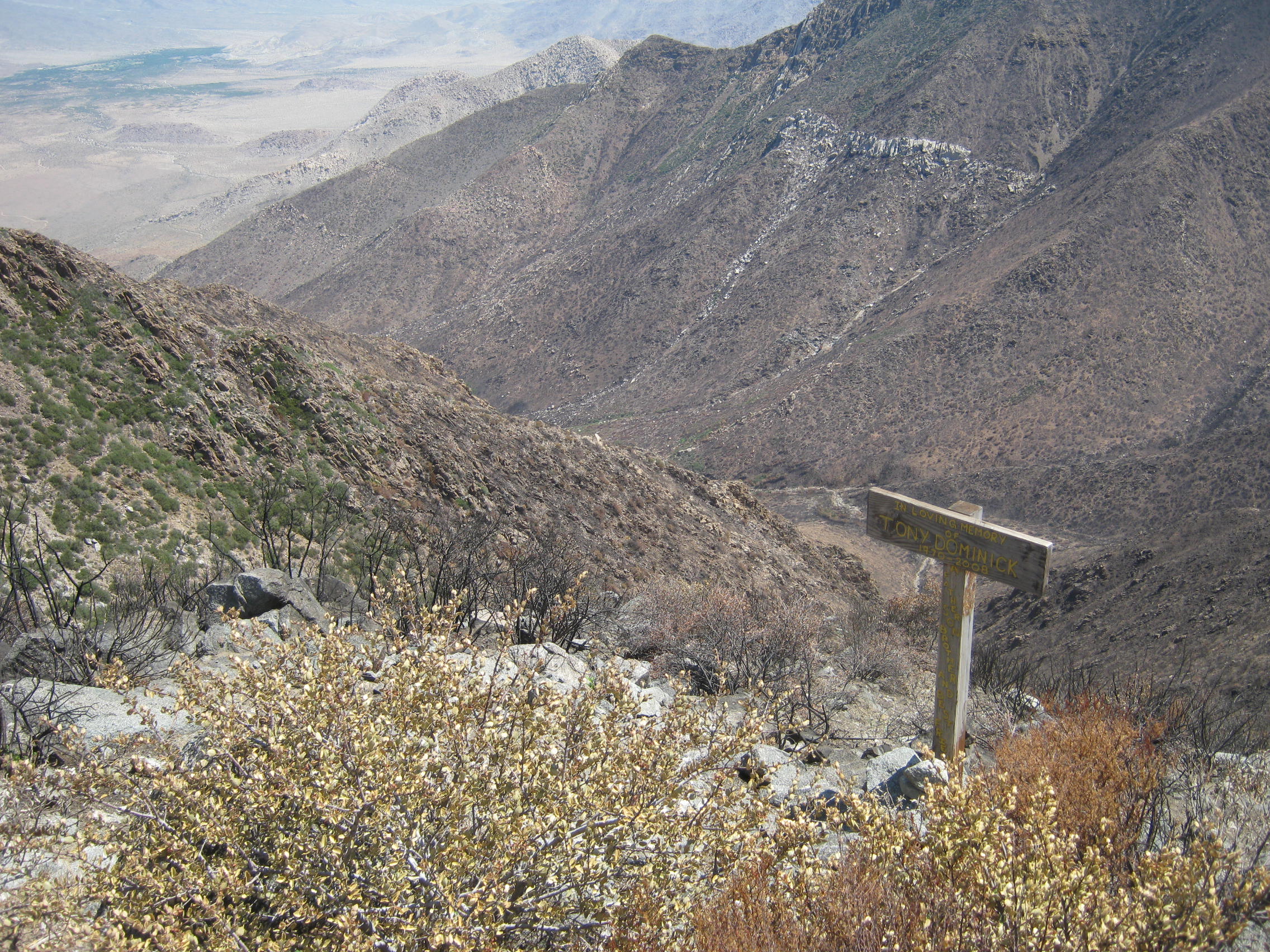
After the Chariot Fire of 7-6-2013 - Storm canyon and old memorial sign 8-21-2013 // for a larger view LEFT CLICK ON THE IMAGE
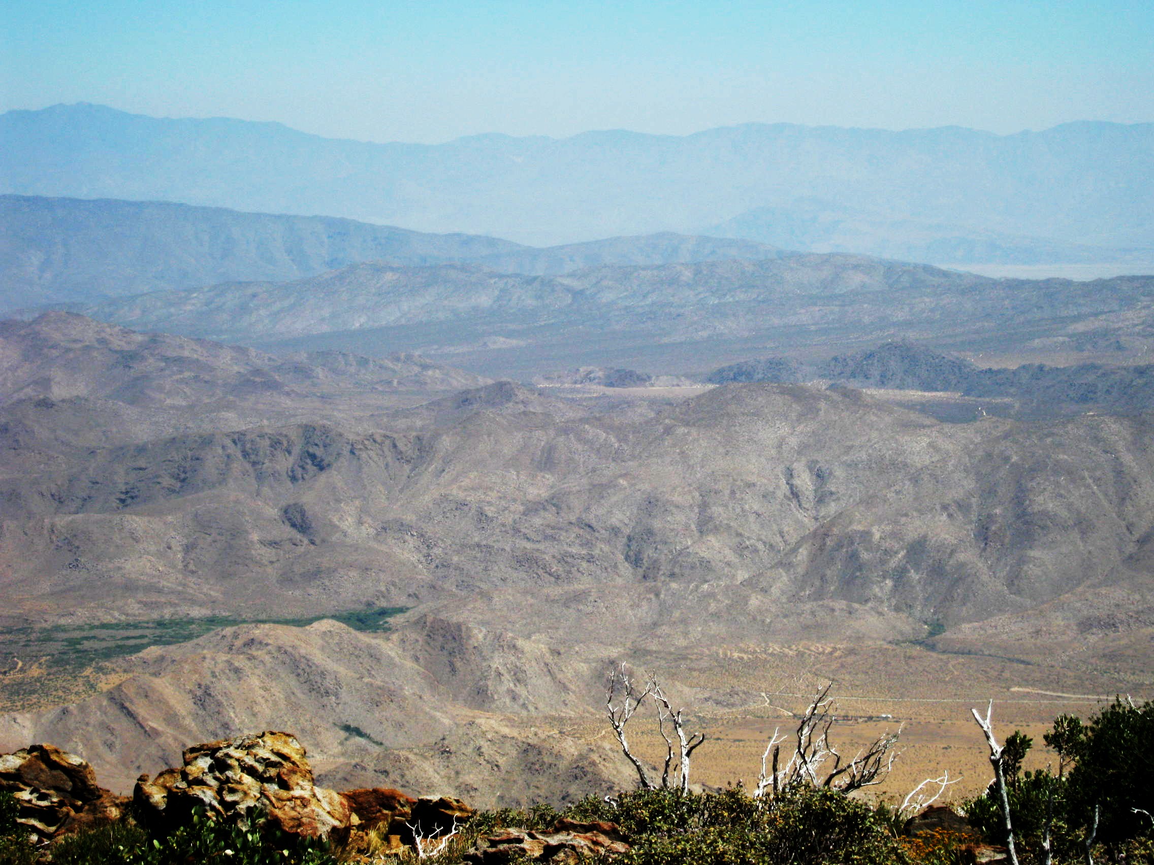
View of Anza Borrego Desert State Park from the Pacific Crest Trail - June 2012

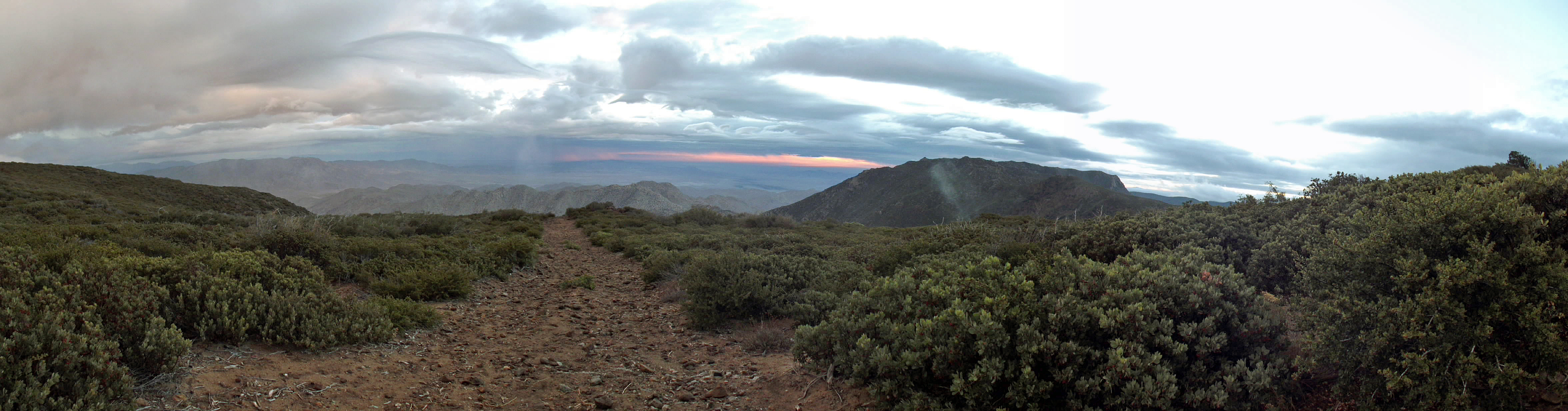
PCT from desert view overlook across from Shrine Camp - 6-6-2012
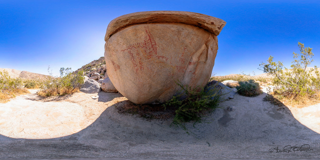
Pictograph - Anza Borrego Desert
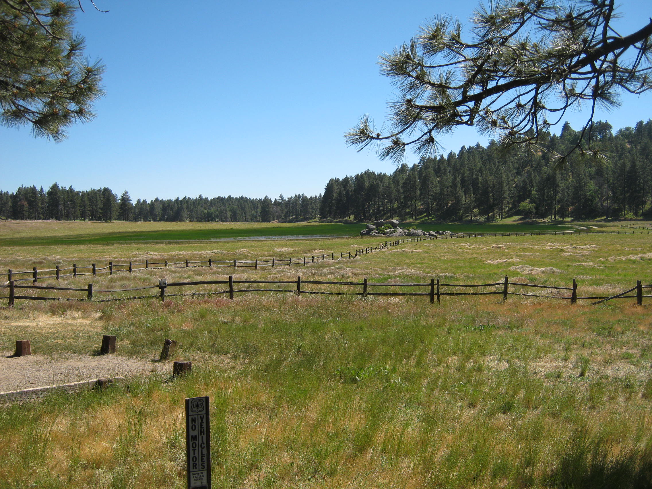
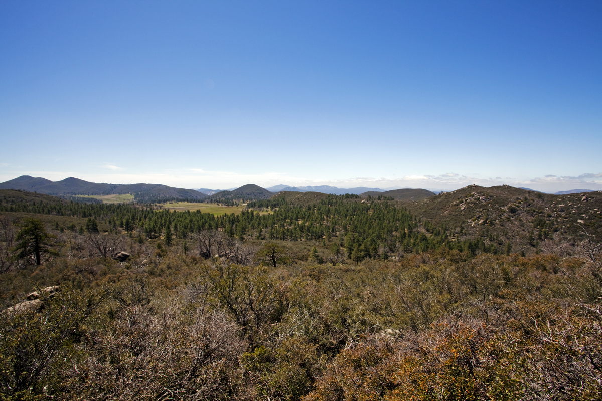
Little Laguna Meadow from Laguna Campground 6-5-12 -- for a larger view of any of these images just LEFT CLICK ON THE IMAGE
Dry Waterfall
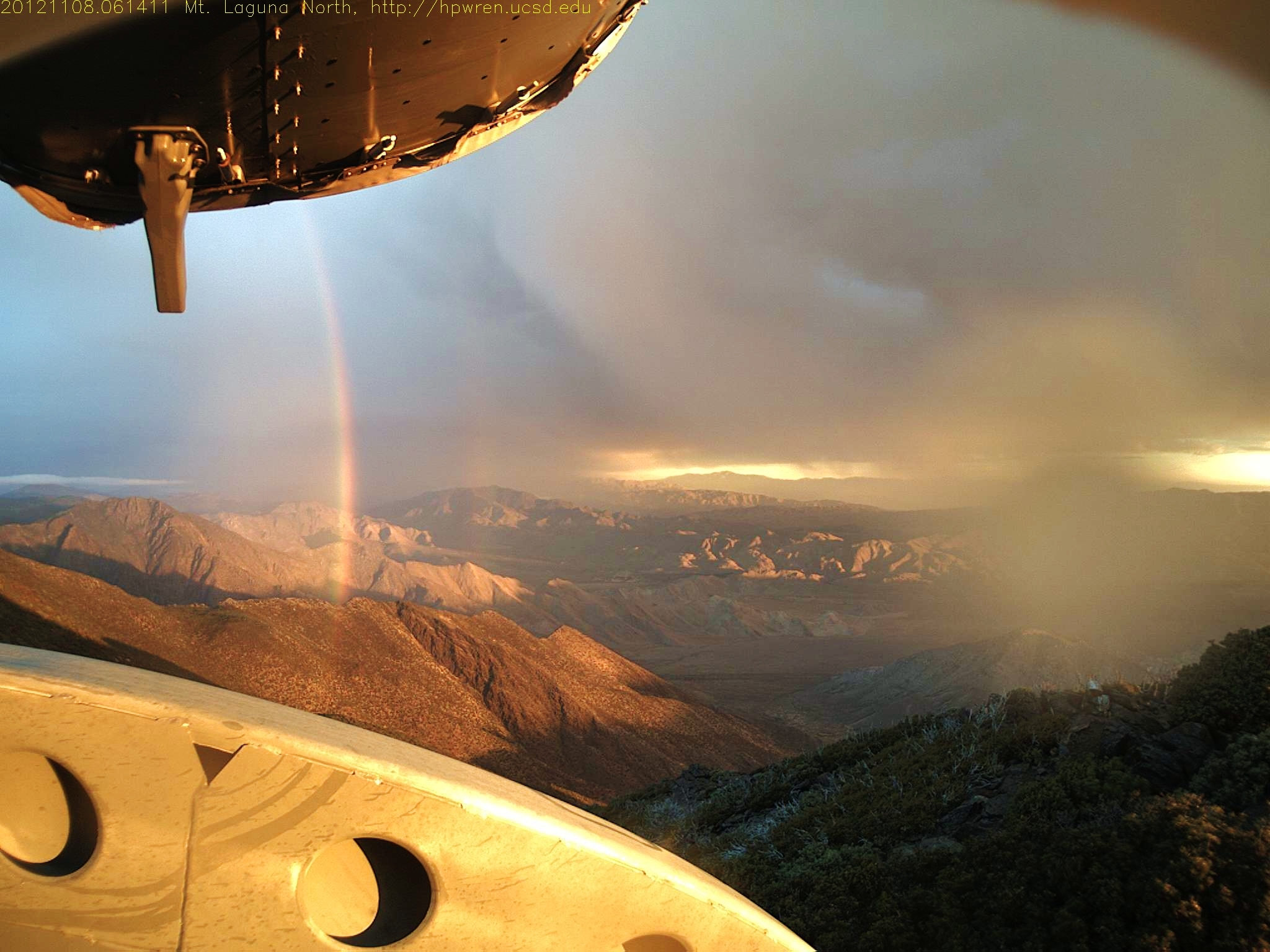
Fleeting moment 08-Nov-2012 06:14 AM PST
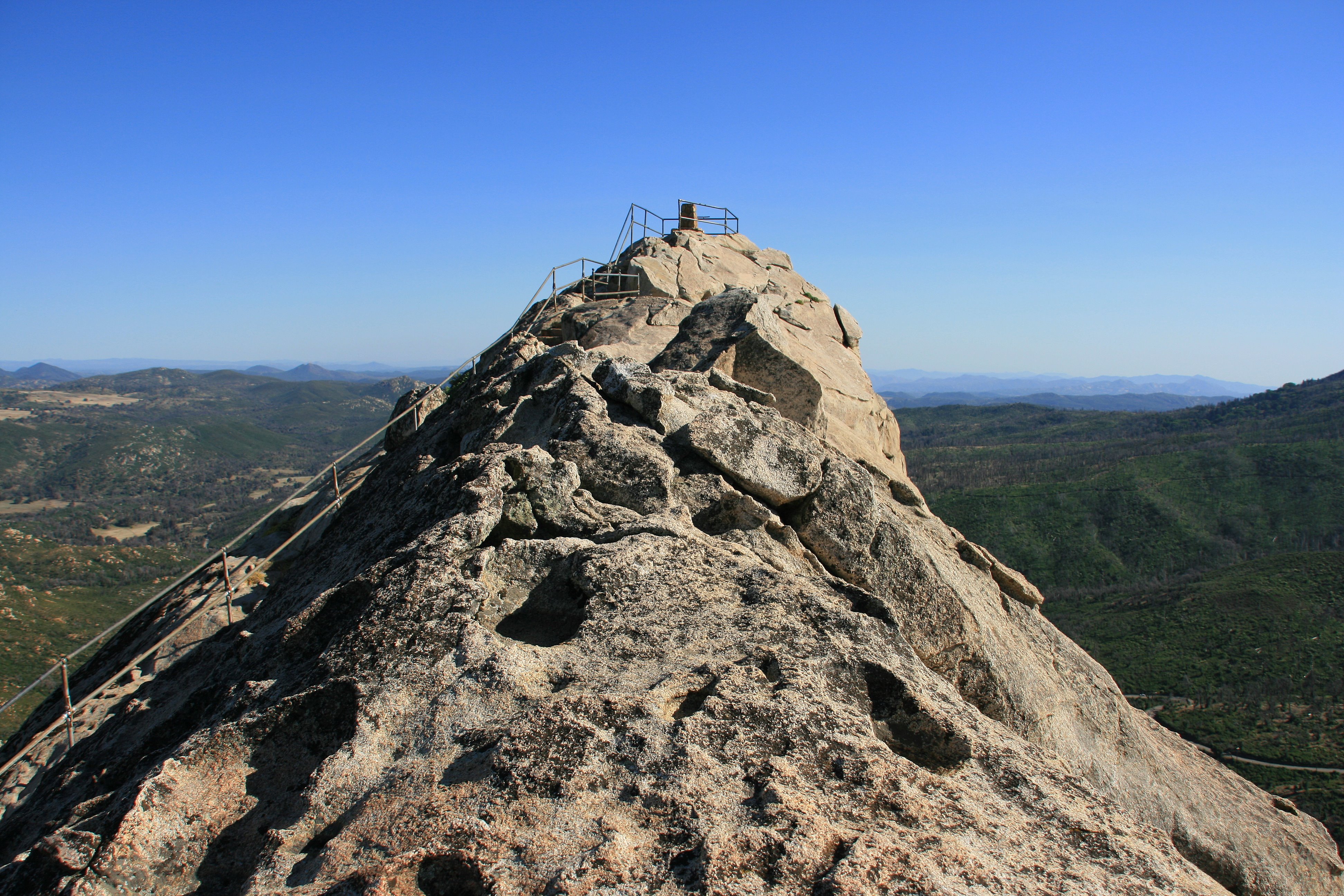
The summit of Stonewall Peak. Cuyamaca Rancho State Park
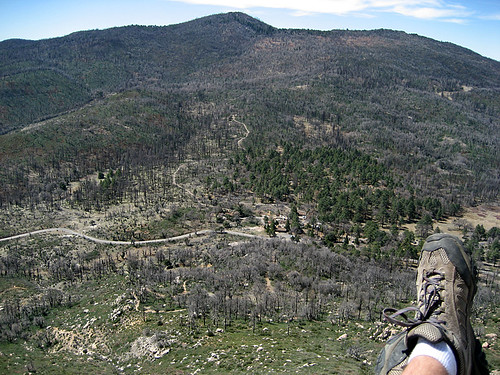
View from the Top
View from Sunset Trail

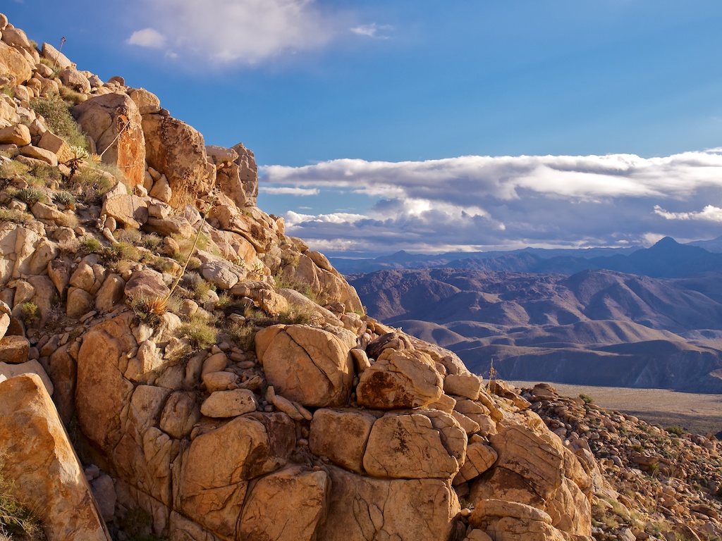
Desert Overlook
Walk The Plank
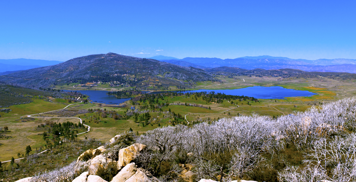
Lake Cuyamaca from Stone Wall Peak
Anza-Borrego Desert State Park, View of Carrizo Valley
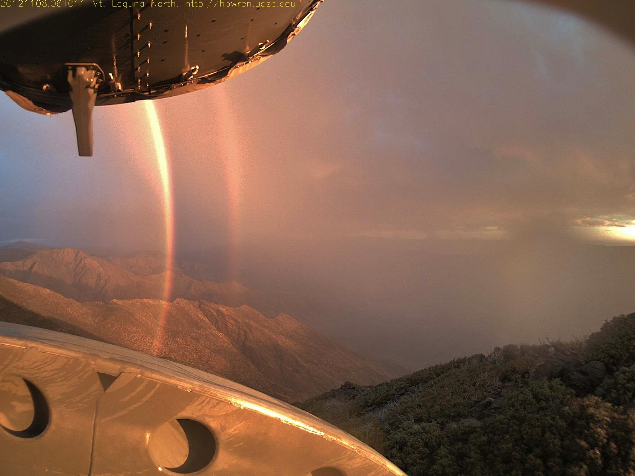
Daybreak rainbows and rain squall 08-Nov-2012 06:10 AM PST

Lake Cuyamaca from Stone Wall Peak
Sunrise Highway 00597
Topographic Map of Monument Peak, California, USA
Find elevation by address:

Places near Monument Peak, California, USA:
Monument Peak Road
Mount Laguna
Sunrise Highway
Laguna Campground
Sunrise Highway
Kwaaymii Point
Julian, CA, USA
13652 Ca-79
Green Valley Falls
Stonewall Peak Trail
10499 Ca-79
Paso Picacho Campground
15027 Ca-79
Lake Cuyamaca Restaurant & Store
Lake Cuyamaca
Cuyamaca Mountains
34606 Navajo Rd
34632 Pima Trail
Cuyamaca Peak
Kq Ranch Rv Resort
Recent Searches:
- Elevation of Corso Fratelli Cairoli, 35, Macerata MC, Italy
- Elevation of Tallevast Rd, Sarasota, FL, USA
- Elevation of 4th St E, Sonoma, CA, USA
- Elevation of Black Hollow Rd, Pennsdale, PA, USA
- Elevation of Oakland Ave, Williamsport, PA, USA
- Elevation of Pedrógão Grande, Portugal
- Elevation of Klee Dr, Martinsburg, WV, USA
- Elevation of Via Roma, Pieranica CR, Italy
- Elevation of Tavkvetili Mountain, Georgia
- Elevation of Hartfords Bluff Cir, Mt Pleasant, SC, USA