Elevation of Waynesville Jamestown Rd, Jamestown, OH, USA
Location: United States > Ohio > Greene County > Silvercreek Township > Jamestown >
Longitude: -83.770424
Latitude: 39.637073
Elevation: 317m / 1040feet
Barometric Pressure: 98KPa
Elevation Map:
Satellite Map:
Related Photos:

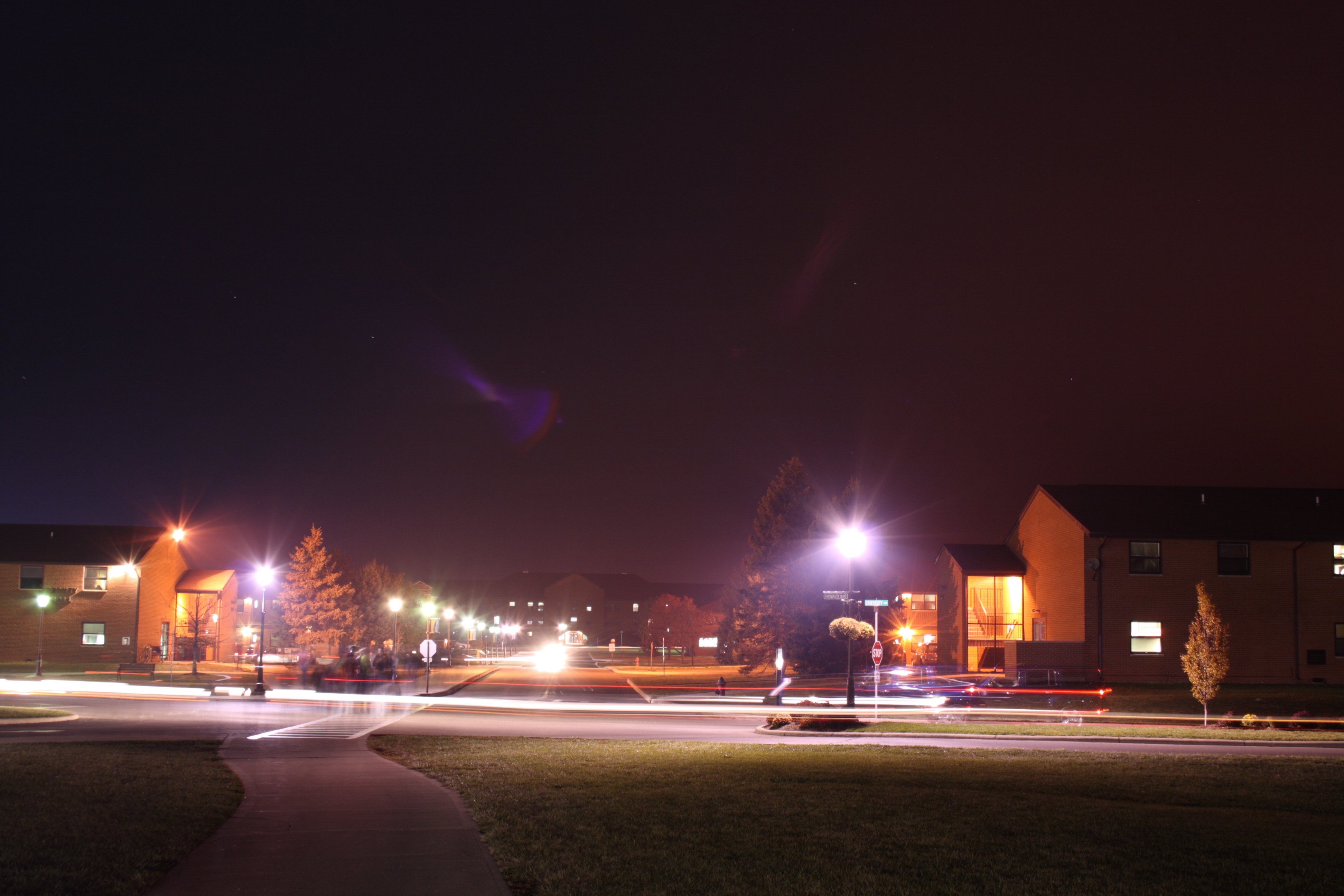
Squirrels View

Cemetery View

Squirrels View
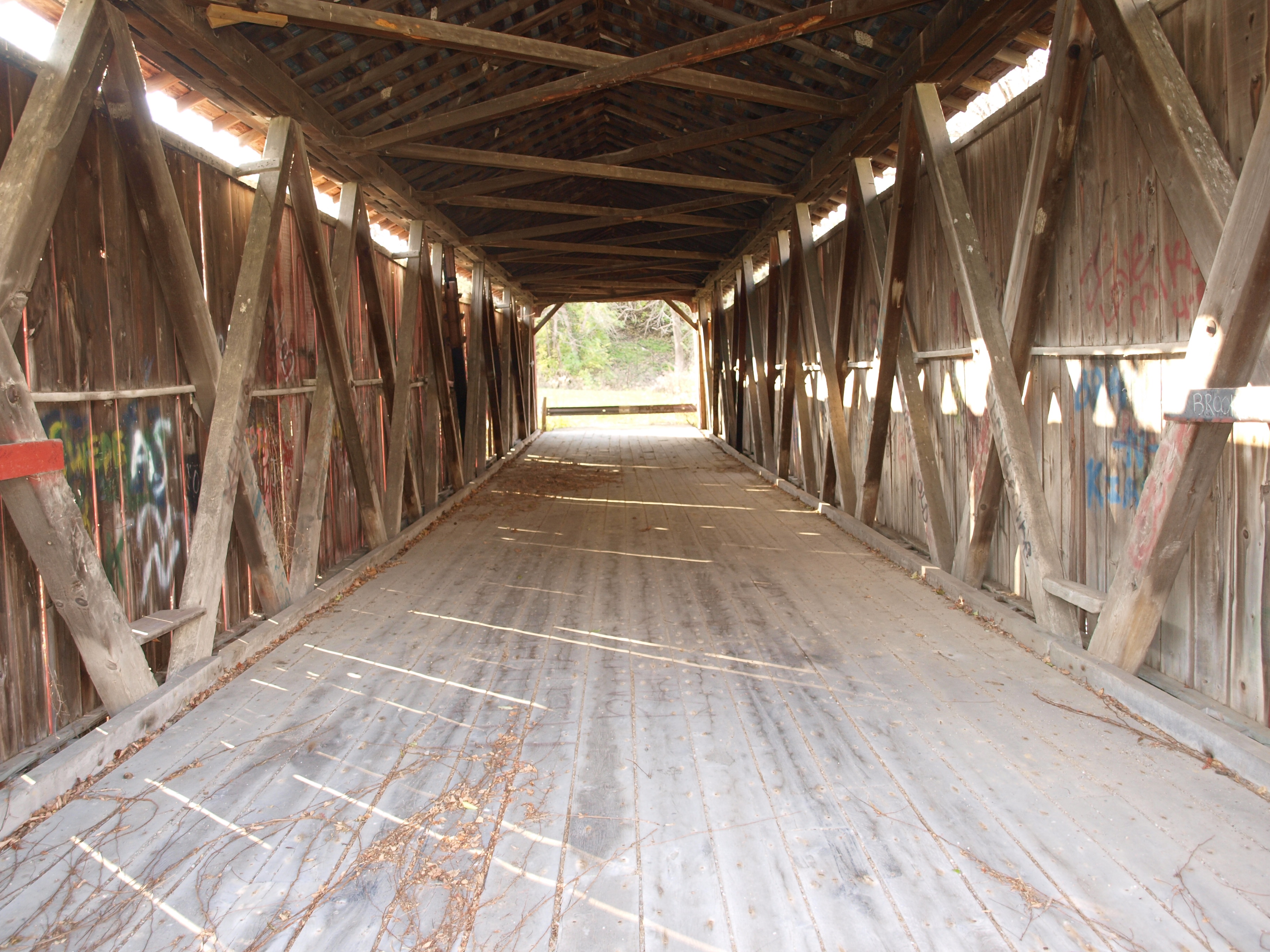
Ballard Road Covered Bridge barrel view, Greene County, OH

Detail of Greene County Courthouse IMG_3779
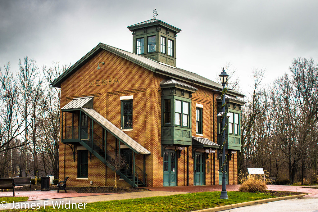
Xenia Station alternate view
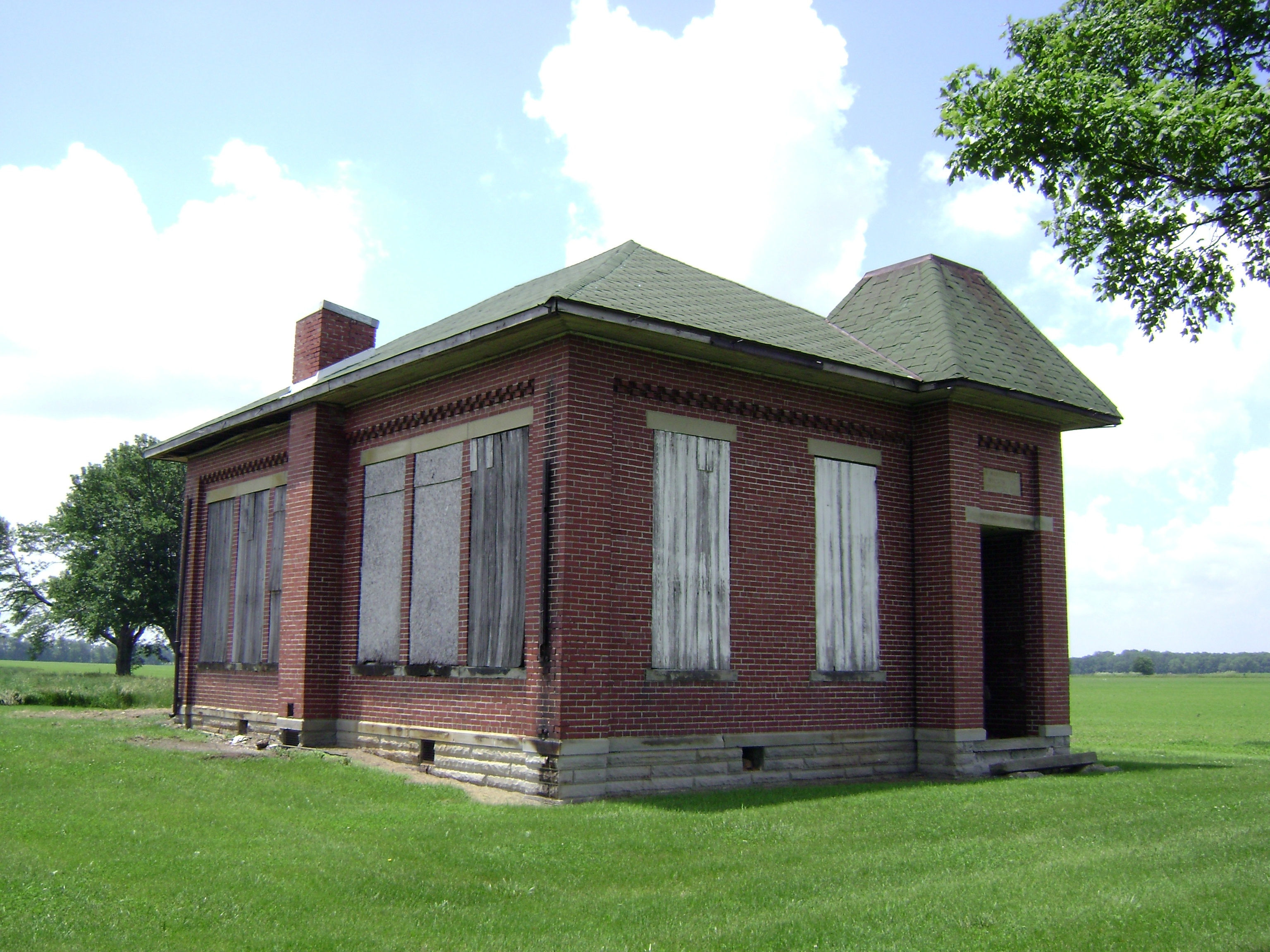
Bloomington, Ohio- Woodside Schoolhouse
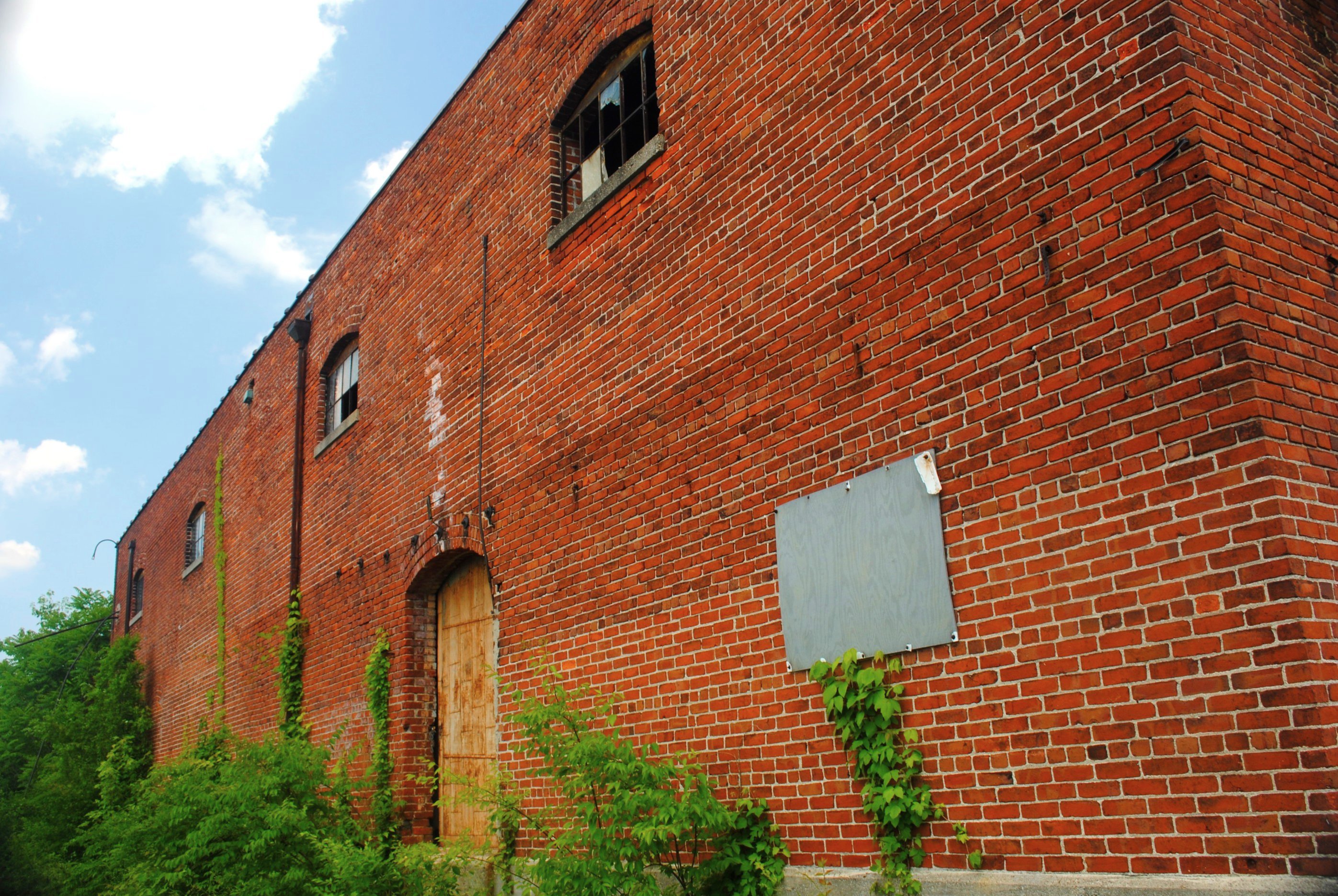
Brick Fortress
Whole view

View in Xenia
Back Door View
View of Tawawa Springs
View of Xenia

Back View
After hours

Squirrels View

Xenia Hometown Christmas Display

Squirrels View

Squirrels View

The reception
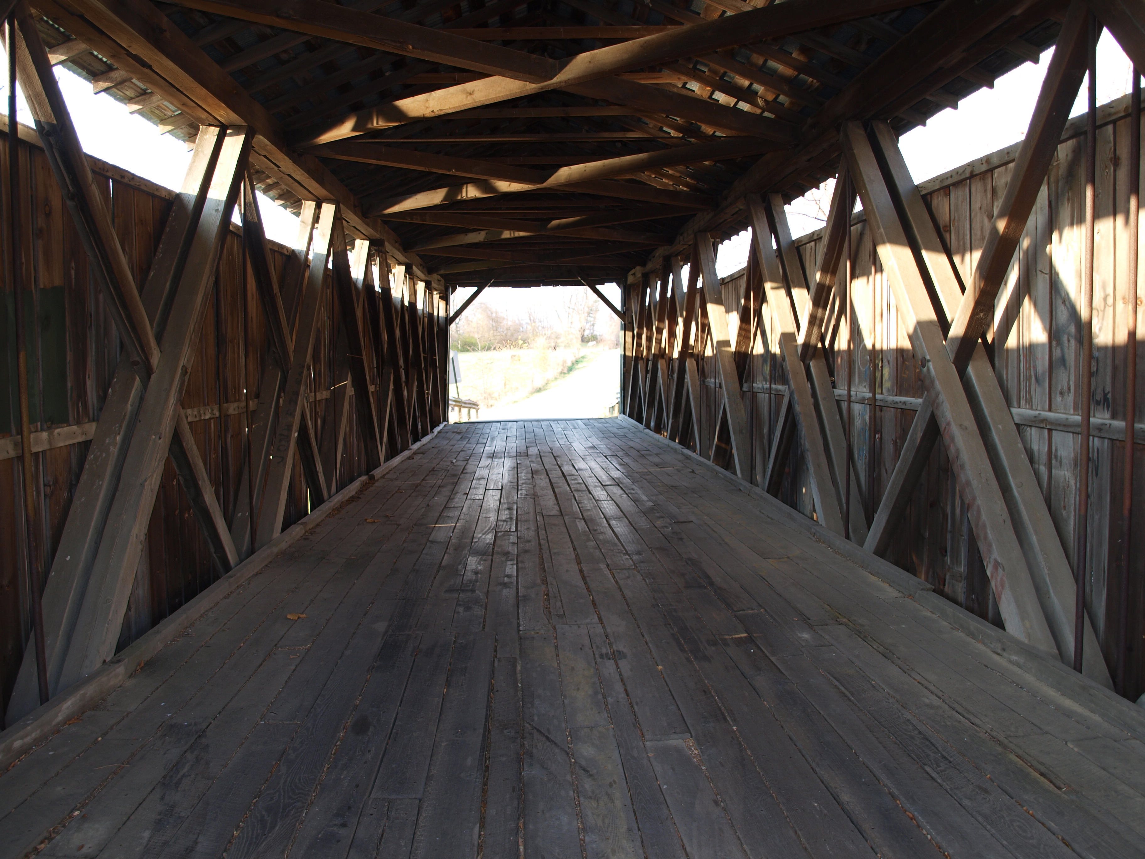
Stevenson Road Covered Bridge barrel view, Greene County, OH

The Barn and field-HDR

day is done

Driving home after fun day at Kings Island. Corn corn and more corn #Ohio #country #evening #vacation #funday #kingsisland

Xenia Sunset 2

Xmas Dayton 2005
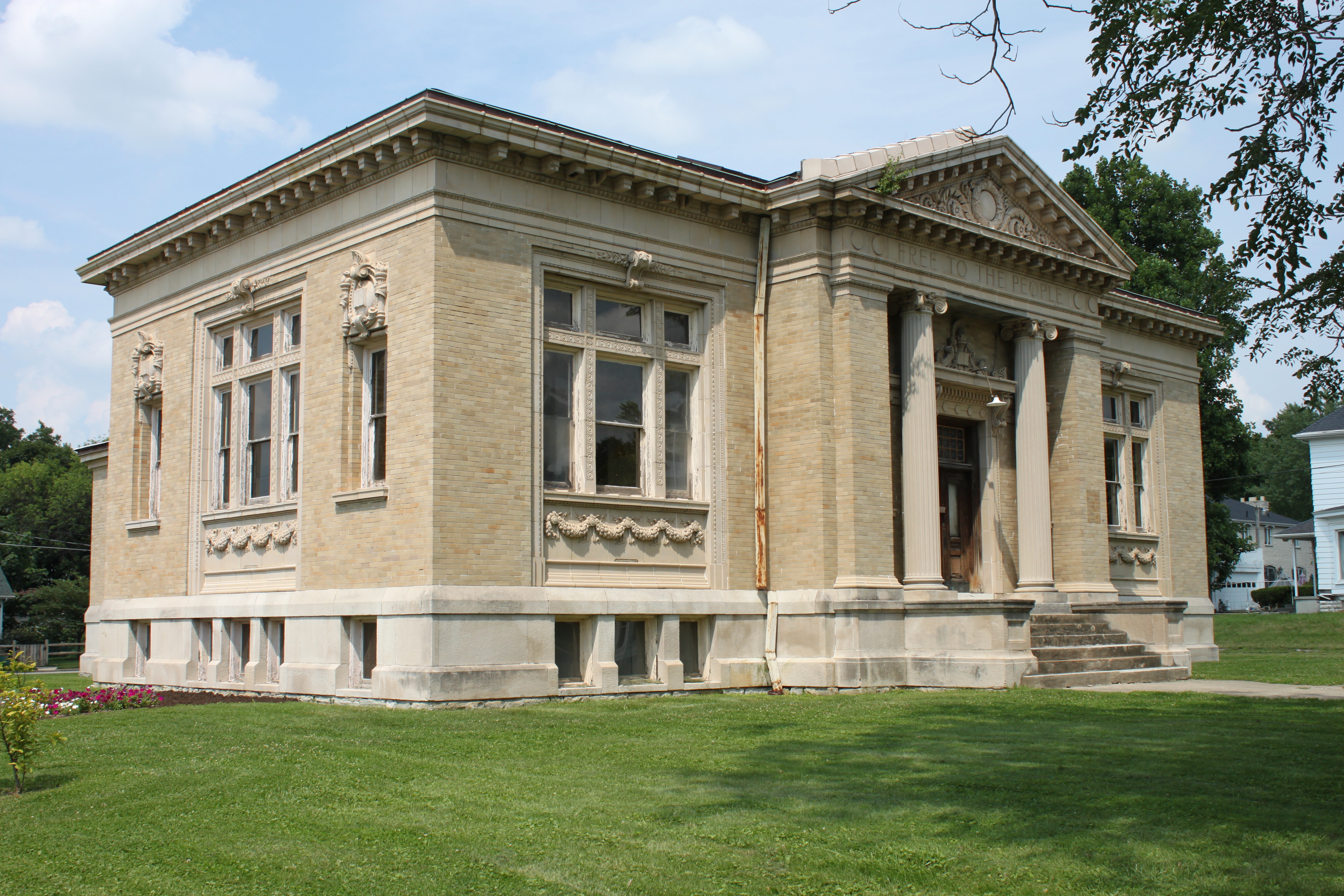
Carnegie Library, Xenia, OH

Baby Bunny

Tuesday Sunset 2

Sun Over Farm

Xenia Sunset

Baby Bunny

Tuesday Sunset 3

Shawnee Lake Sunrise 08

Tuesday Sunset 1

Blue skies, puffy clouds, tall corn stalks

Shawnee Lake Sunrise 03

Shawnee Lake Sunrise 02

Shawnee Lake Sunrise 05

Shawnee Lake Sunrise 09
Xenia-Former Ohio Veterans' Children's Home Facility (CORF & COAF)

Blue Steel took a picture!
Topographic Map of Waynesville Jamestown Rd, Jamestown, OH, USA
Find elevation by address:

Places near Waynesville Jamestown Rd, Jamestown, OH, USA:
4585 Waynesville Jamestown Rd
Shawnee Hills
Shawnee Trail, Jamestown, OH, USA
Silvercreek Township
3 S Limestone St, Jamestown, OH, USA
Jamestown
New Jasper Township
Hussey Rd, Jamestown, OH, USA
570 Brickel Rd
Jefferson Township
Paintersville New Jasper Rd, Jamestown, OH, USA
1071 Long Rd
2nd St, Port William, OH, USA
Ross Township
S Monroe Siding Rd, Xenia, OH, USA
655 N Monroe Siding Rd
25 New Burlington Rd, Wilmington, OH, USA
Grape Grove Rd, Jamestown, OH, USA
767 S Bickett Rd
Xenia Township
Recent Searches:
- Elevation of Zu den Ihlowbergen, Althüttendorf, Germany
- Elevation of Badaber, Peshawar, Khyber Pakhtunkhwa, Pakistan
- Elevation of SE Heron Loop, Lincoln City, OR, USA
- Elevation of Slanický ostrov, 01 Námestovo, Slovakia
- Elevation of Spaceport America, Co Rd A, Truth or Consequences, NM, USA
- Elevation of Warwick, RI, USA
- Elevation of Fern Rd, Whitmore, CA, USA
- Elevation of 62 Abbey St, Marshfield, MA, USA
- Elevation of Fernwood, Bradenton, FL, USA
- Elevation of Felindre, Swansea SA5 7LU, UK