Elevation of New Jasper Township, OH, USA
Location: United States > Ohio > Greene County >
Longitude: -83.8154791
Latitude: 39.6626328
Elevation: 304m / 997feet
Barometric Pressure: 0KPa
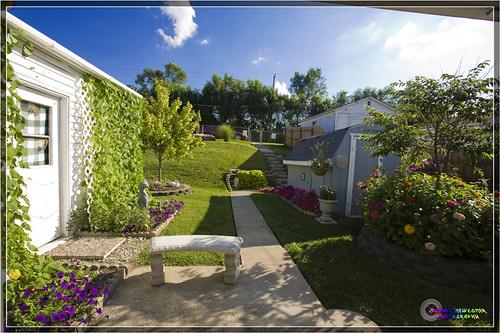
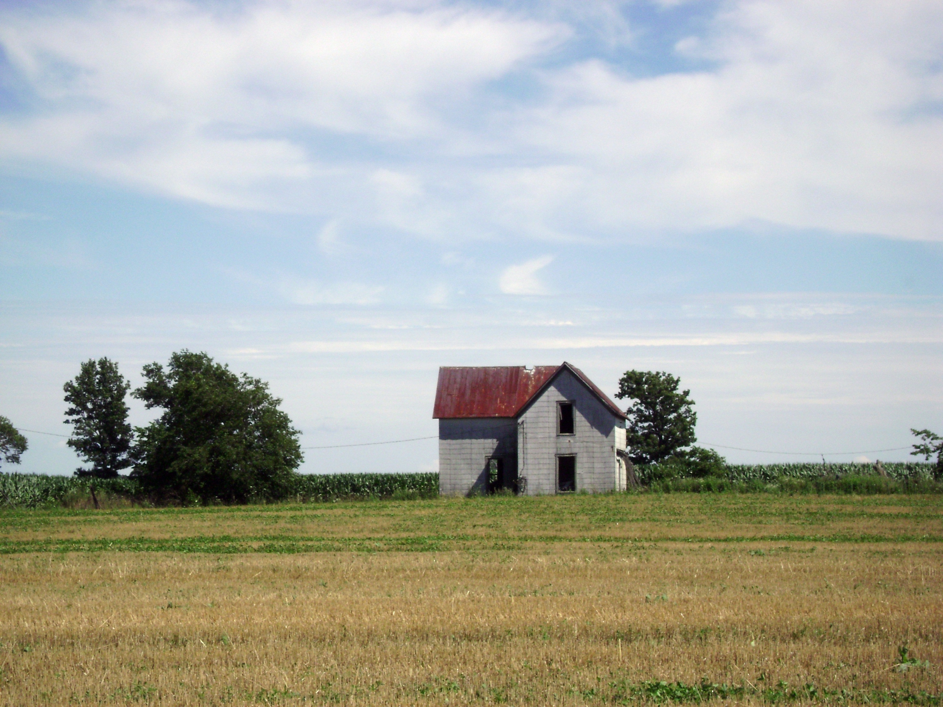
Related Photos:
Clifton Gorge

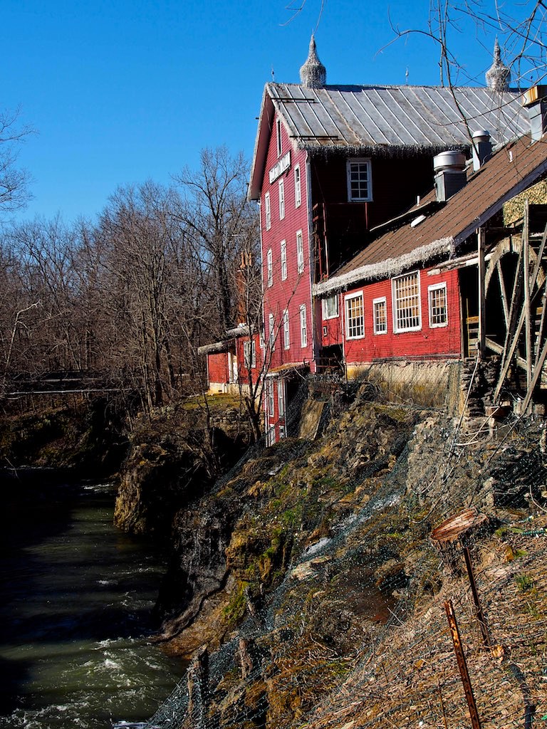
Clifton Mill

Squirrels View

Cemetery View
Path of Destruction

Squirrels View

Detail of Greene County Courthouse IMG_3779
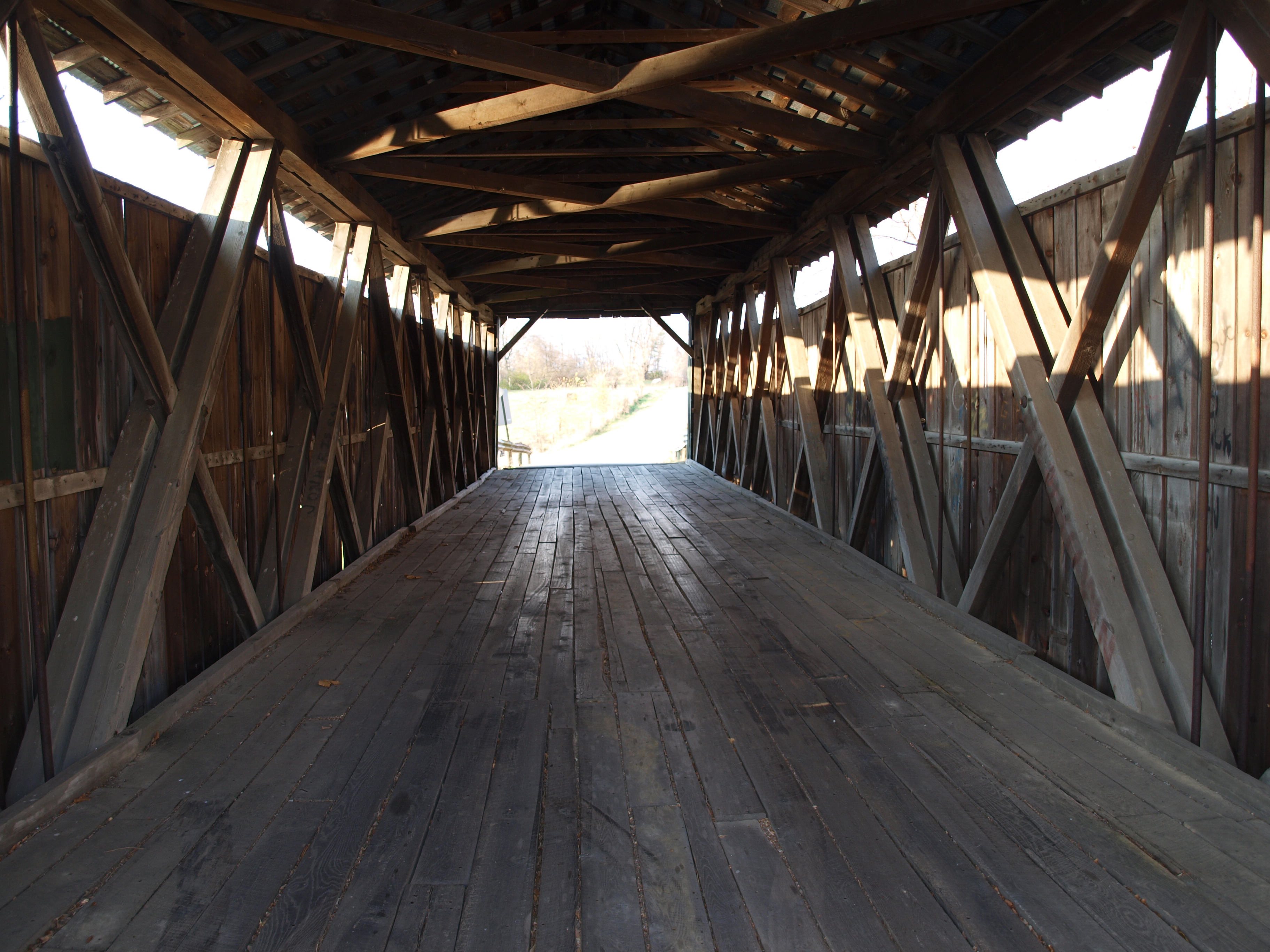
Ballard Road Covered Bridge barrel view, Greene County, OH
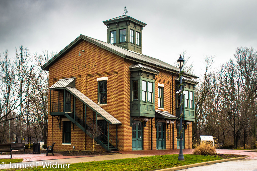
Xenia Station alternate view

Water wheel (3D)
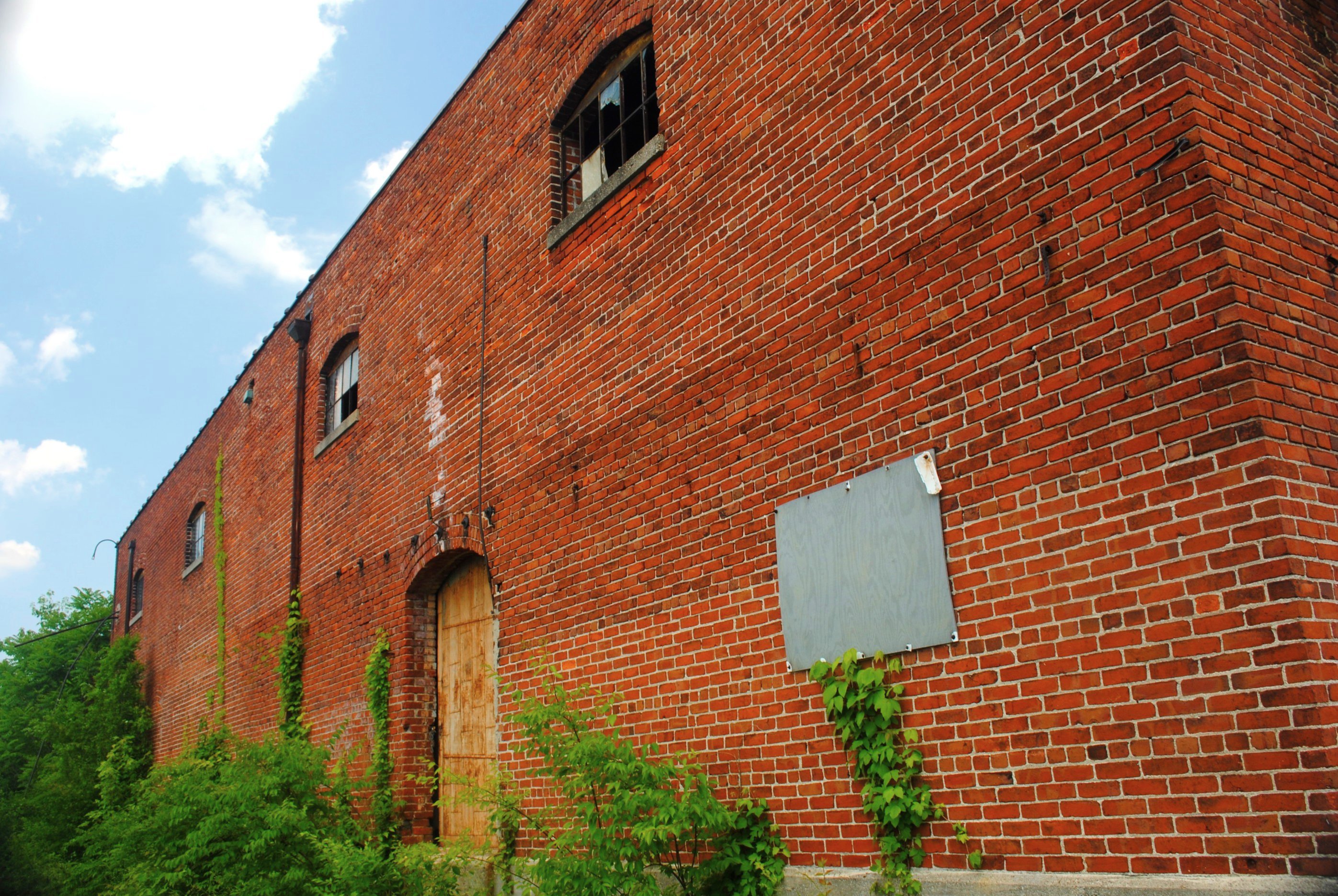
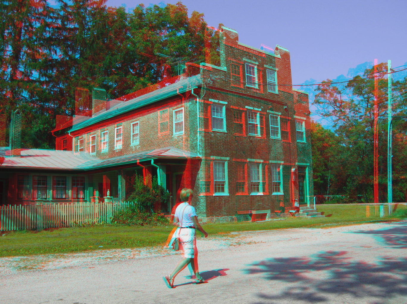
Brick Fortress
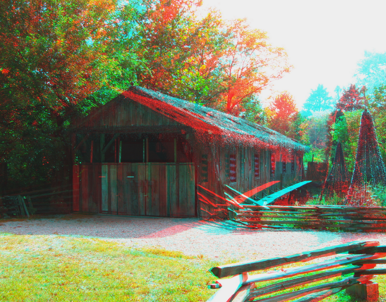
Covered Bridge (3D)
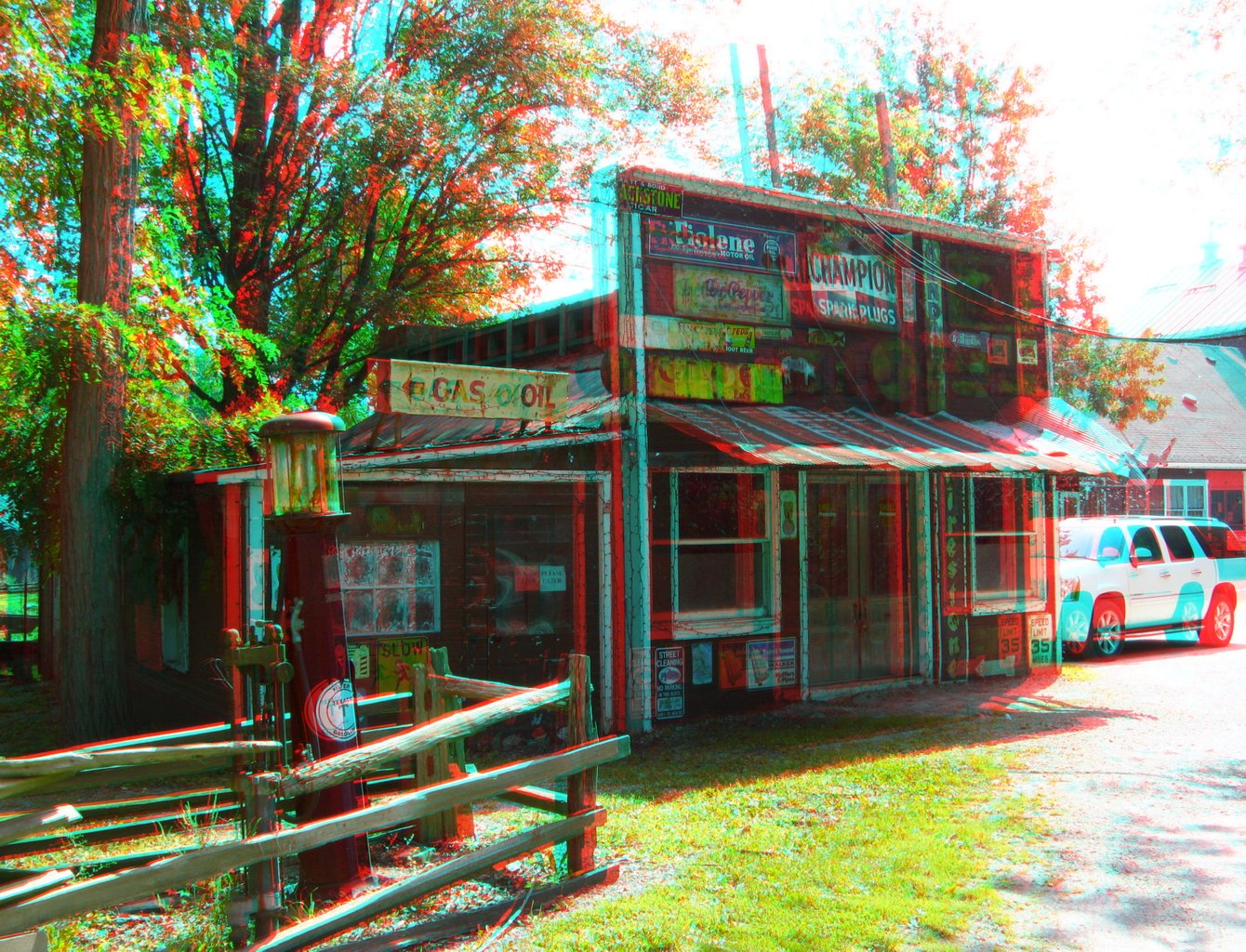
Hardware & Gas (3D)
Whole view

View in Xenia
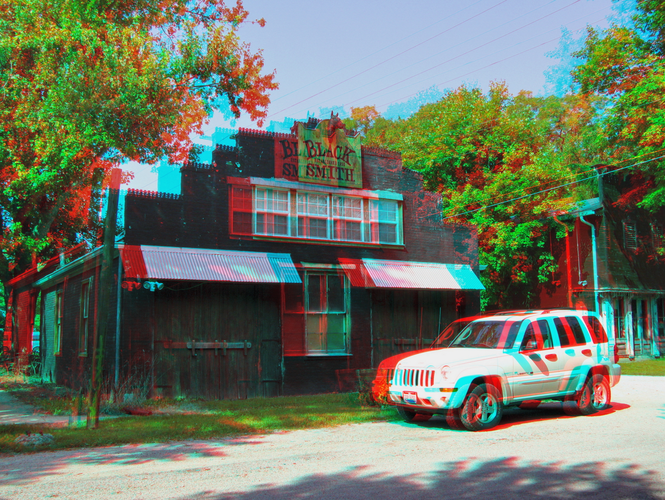
The Village Smithy (3D)
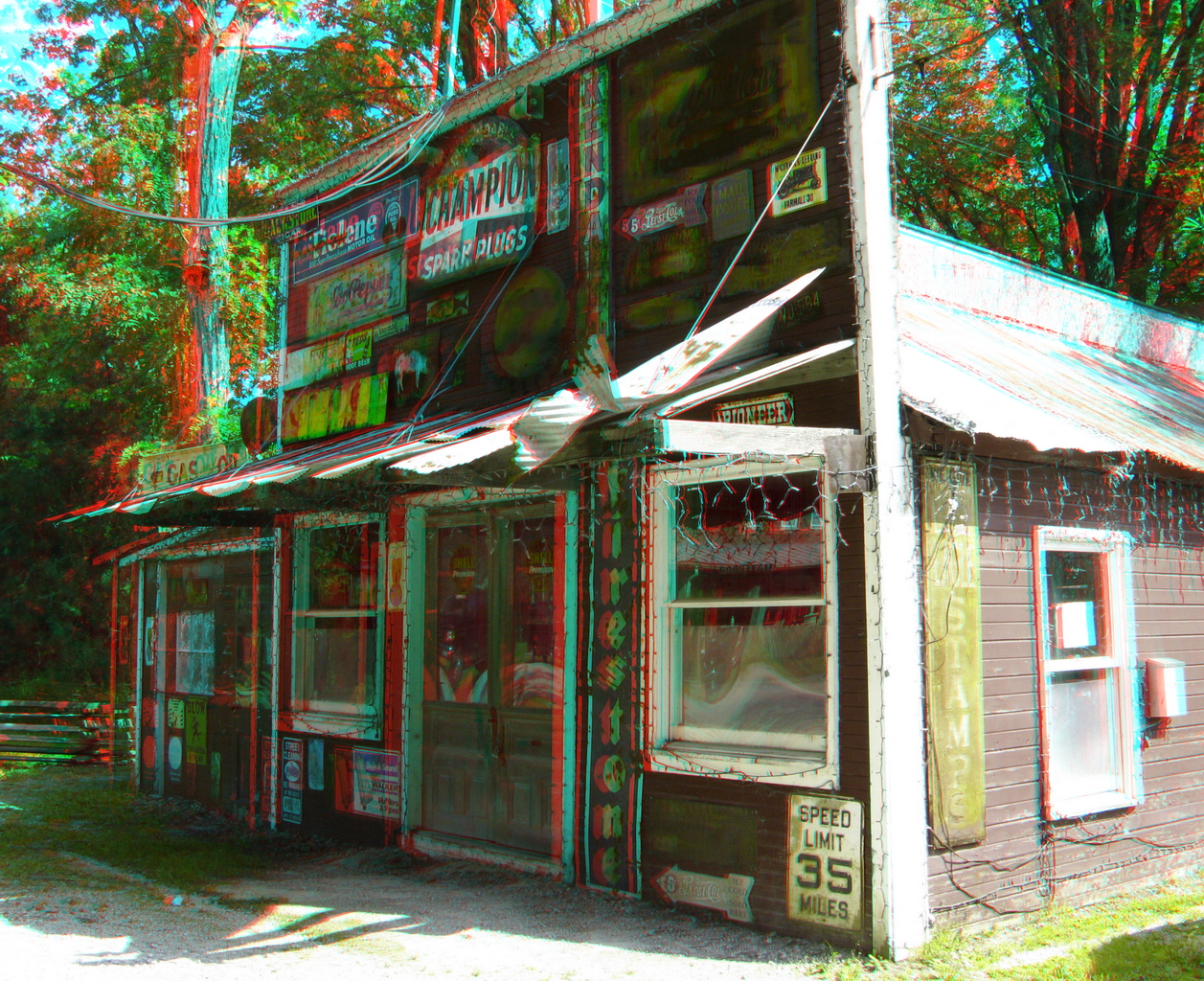
Hardware & Gas (3D)
Clifton, Ohio (3D)
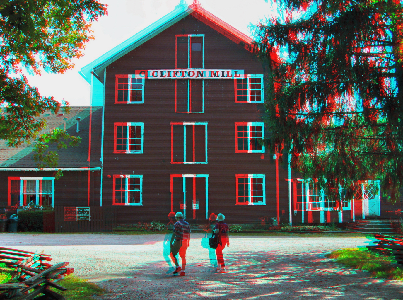
Clifton Mill (3D)
Back Door View

Covered Bridge-cropped (3D)

moving water

day is done
Bowersville, Ohio
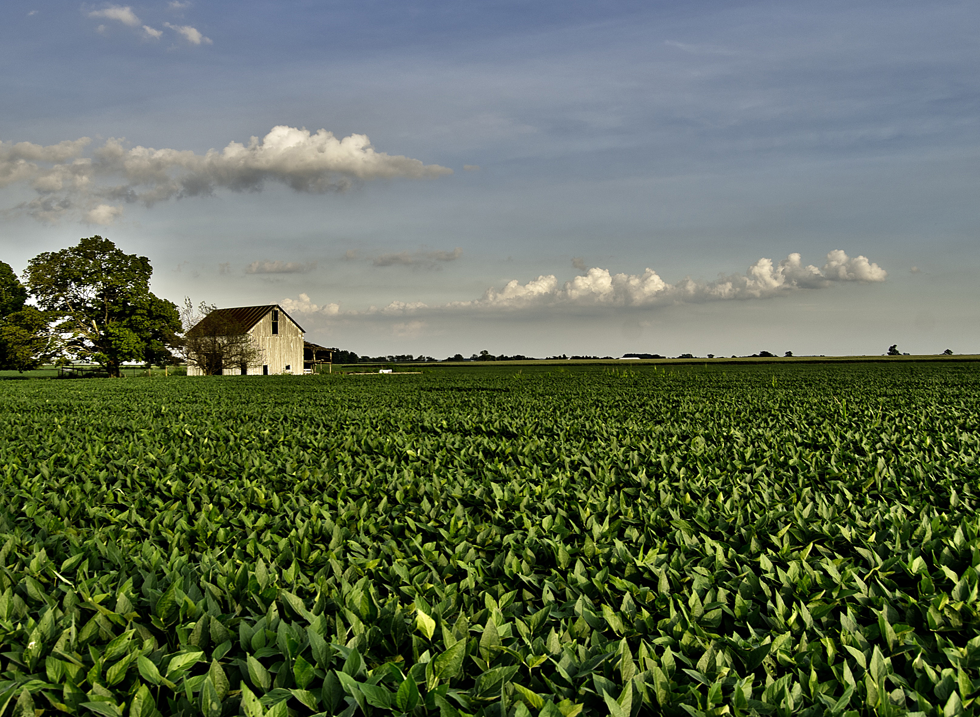
The Barn and field-HDR
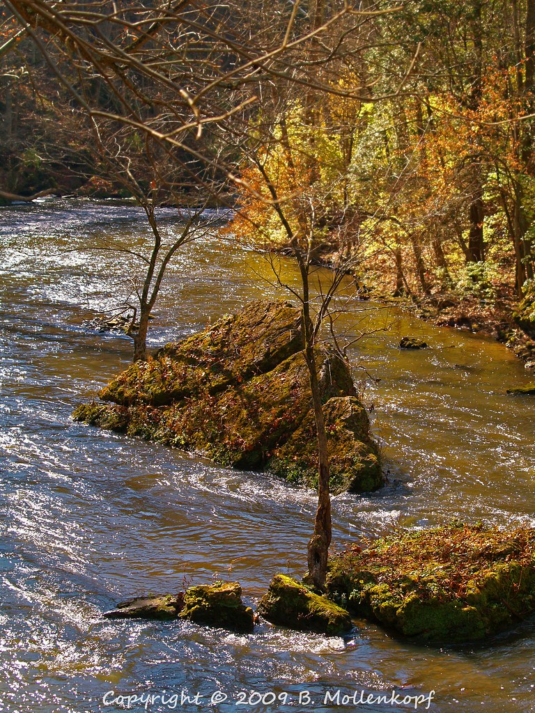
Dolomite Slump Blocks in the River

Driving home after fun day at Kings Island. Corn corn and more corn #Ohio #country #evening #vacation #funday #kingsisland

Xenia Sunset 2

Xmas Dayton 2005

Baby Bunny
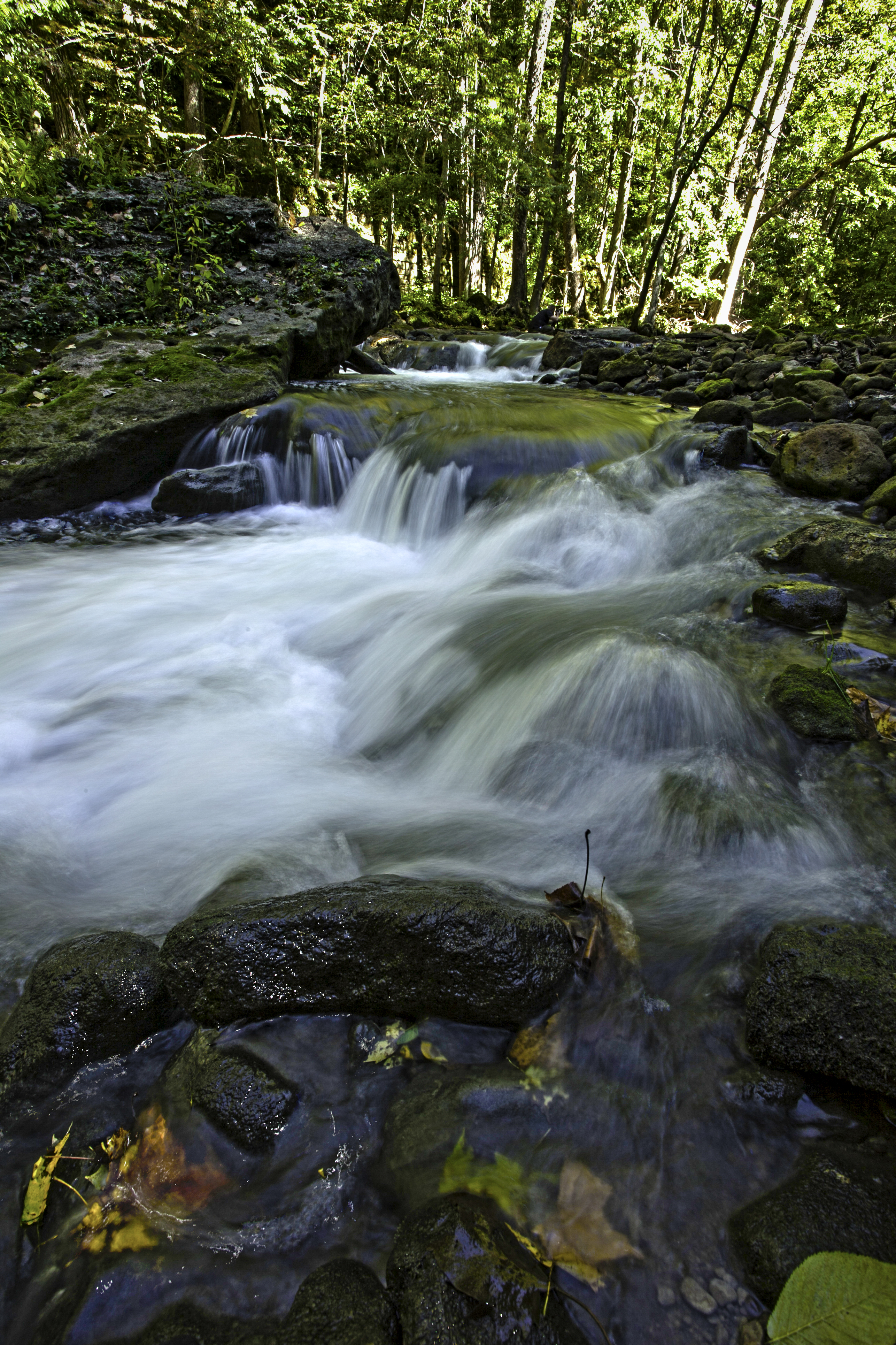
Clifton Gorge

sunset-xenia,oh

Tuesday Sunset 2

Cedar Cliff Lower Falls

Sun Over Farm
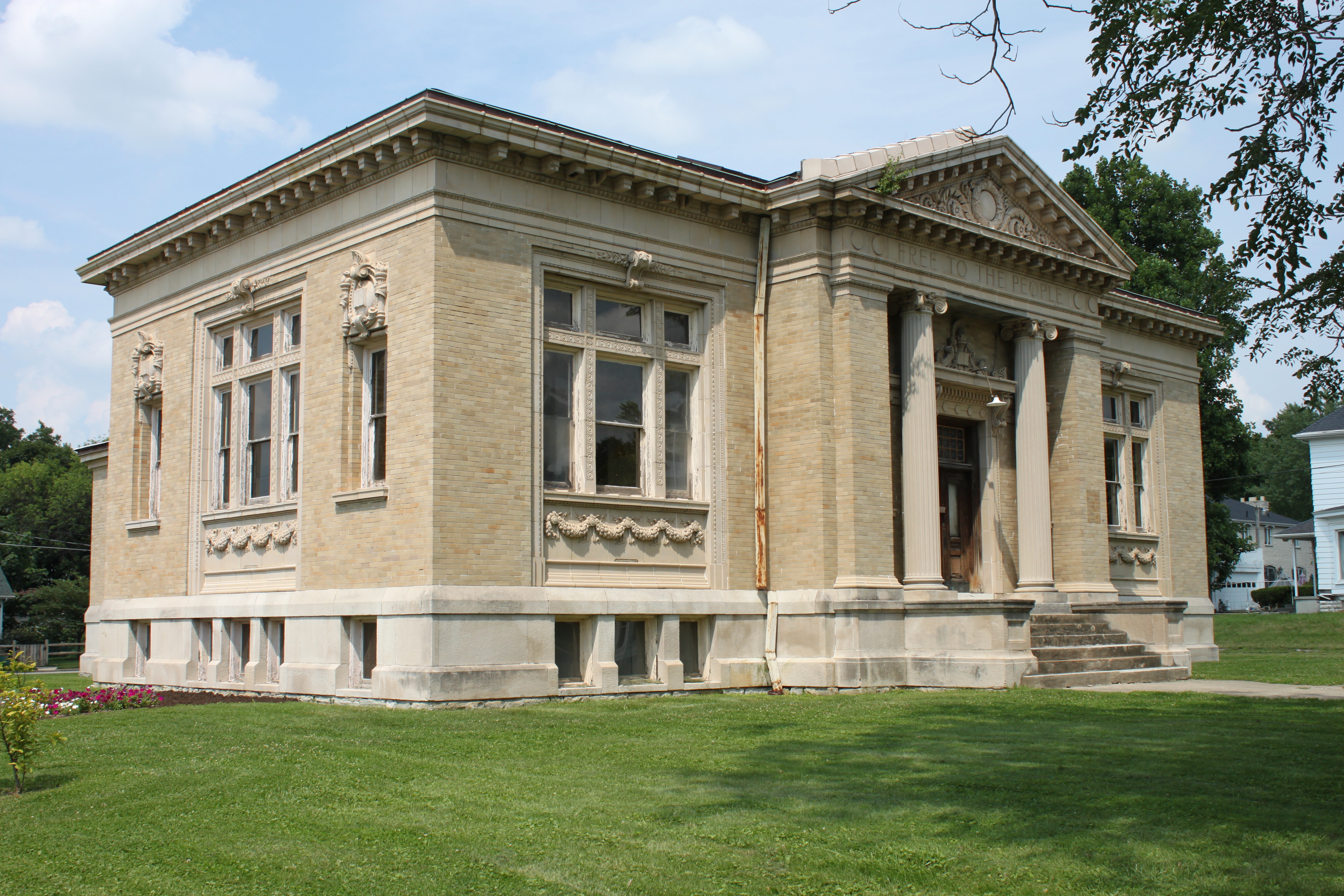
Carnegie Library, Xenia, OH

Corn Field

Spring Melt
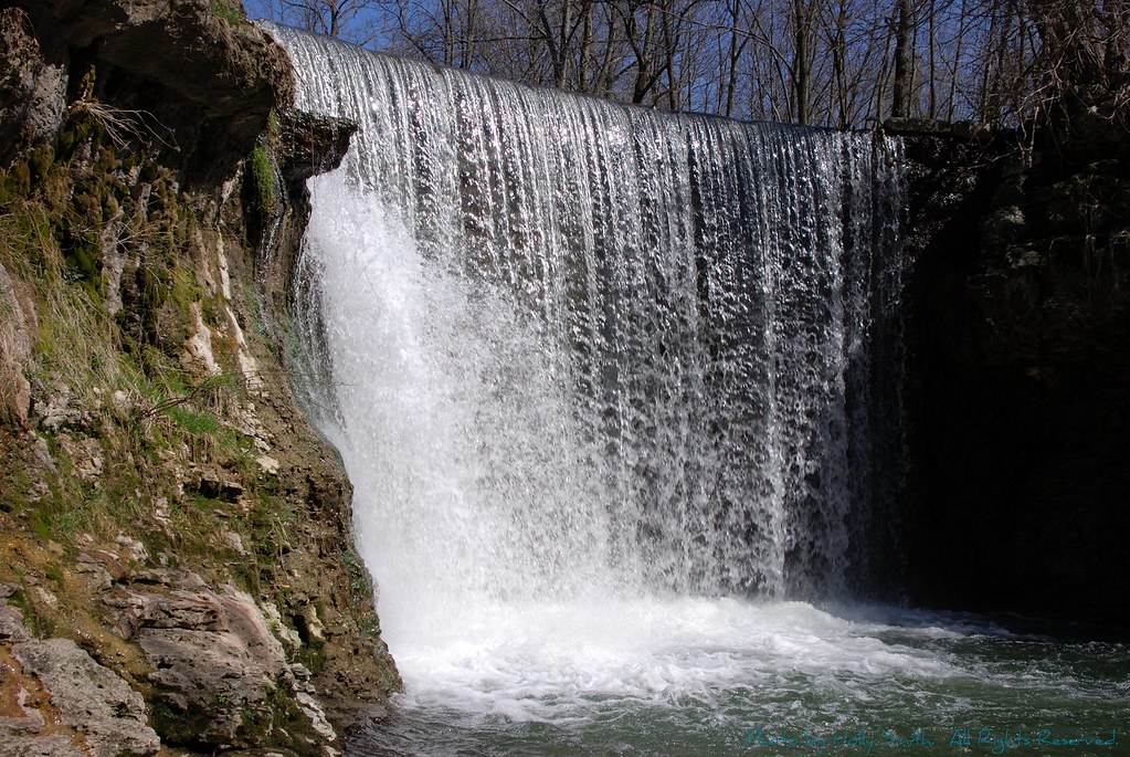
Cedar Cliff Falls

Xenia Sunset

In the Faerie Forest

Walk in the Woods
Topographic Map of New Jasper Township, OH, USA
Find elevation by address:

Places in New Jasper Township, OH, USA:
Places near New Jasper Township, OH, USA:
1071 Long Rd
Shawnee Trail, Jamestown, OH, USA
Shawnee Hills
Waynesville Jamestown Rd, Jamestown, OH, USA
S Monroe Siding Rd, Xenia, OH, USA
655 N Monroe Siding Rd
4585 Waynesville Jamestown Rd
570 Brickel Rd
767 S Bickett Rd
Paintersville New Jasper Rd, Jamestown, OH, USA
Xenia Township
3 S Limestone St, Jamestown, OH, USA
Jamestown
Central State University
Greene County
Wilberforce
Silvercreek Township
Hussey Rd, Jamestown, OH, USA
East Main Street
Jefferson Township
Recent Searches:
- Elevation of 24, Auburn Bay Crescent SE, Auburn Bay, Calgary, Alberta, T3M 0A6, Canada
- Elevation of Denver, 2314, Arapahoe Street, Five Points, Denver, Colorado, 80205, USA
- Elevation of Community of the Beatitudes, 2924, West 43rd Avenue, Sunnyside, Denver, Colorado, 80211, USA
- Elevation map of Litang County, Sichuan, China
- Elevation map of Madoi County, Qinghai, China
- Elevation of 3314, Ohio State Route 114, Payne, Paulding County, Ohio, 45880, USA
- Elevation of Sarahills Drive, Saratoga, Santa Clara County, California, 95070, USA
- Elevation of Town of Bombay, Franklin County, New York, USA
- Elevation of 9, Convent Lane, Center Moriches, Suffolk County, New York, 11934, USA
- Elevation of Saint Angelas Convent, 9, Convent Lane, Center Moriches, Suffolk County, New York, 11934, USA
- Elevation of 131st Street Southwest, Mukilteo, Snohomish County, Washington, 98275, USA
- Elevation of 304, Harrison Road, Naples, Cumberland County, Maine, 04055, USA
- Elevation of 2362, Timber Ridge Road, Harrisburg, Cabarrus County, North Carolina, 28075, USA
- Elevation of Ridge Road, Marshalltown, Marshall County, Iowa, 50158, USA
- Elevation of 2459, Misty Shadows Drive, Pigeon Forge, Sevier County, Tennessee, 37862, USA
- Elevation of 8043, Brightwater Way, Spring Hill, Williamson County, Tennessee, 37179, USA
- Elevation of Starkweather Road, San Luis, Costilla County, Colorado, 81152, USA
- Elevation of 5277, Woodside Drive, Baton Rouge, East Baton Rouge Parish, Louisiana, 70808, USA
- Elevation of 1139, Curtin Street, Shepherd Park Plaza, Houston, Harris County, Texas, 77018, USA
- Elevation of 136, Sellers Lane, Repton, Monroe County, Alabama, 36475, USA