Elevation of Brickel Rd, Jamestown, OH, USA
Location: United States > Ohio > Greene County > Silvercreek Township > Jamestown >
Longitude: -83.749938
Latitude: 39.6915467
Elevation: 323m / 1060feet
Barometric Pressure: 98KPa
Elevation Map:
Satellite Map:
Related Photos:

Street View of the Clifton Mill

4785ex2 snowy farmlands

Clifton Gorge
Hidden Bridge in the Glen | Yellow Springs, Ohio
View in Xenia

Brick Fortress

Blue Hole

Clifton Mill

Detail of Greene County Courthouse IMG_3779

Xenia Station alternate view

Water wheel (3D)

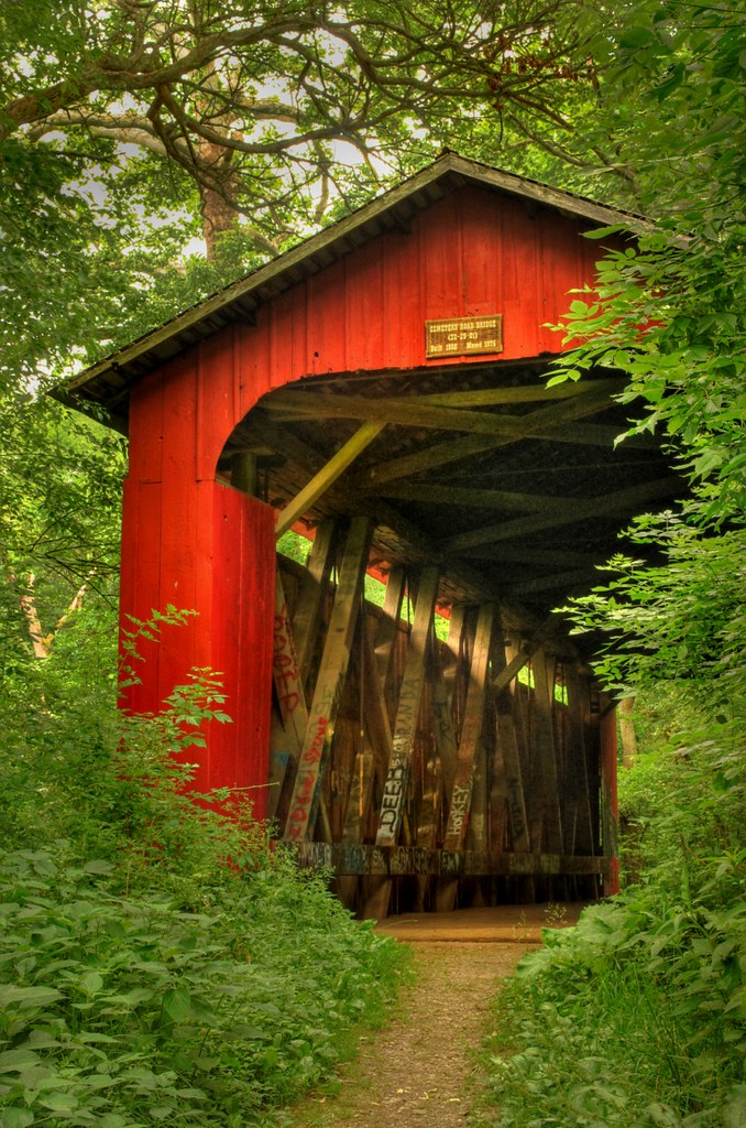
Covered Bridge (3D)

Clifton High School (hyper-3D)

Clifton Gorge — Miami Township, Greene County, Ohio

Hardware & Gas (3D)
Hardware & Gas (3D)

Covered Bridge (3D)

The Village Smithy (3D)

Clifton Mill (3D)

View of Xenia

North & Clay Streets (hyper 3D)

Together At Last

day is done

The Little Miami At Clifton

Corn Field

The River Flows On

Clifton Gorge

Cedar Cliff Lower Falls

Clifton, Ohio

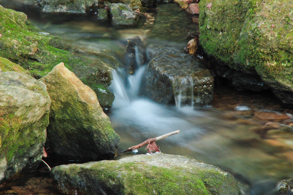
Lower Falls on Massies Creek

Bowersville, Ohio

Falls Of The Little Miami

The Barn and field-HDR

moving water

sunset-xenia,oh

Clifton Mill
Delicate Falls

Flowing Water
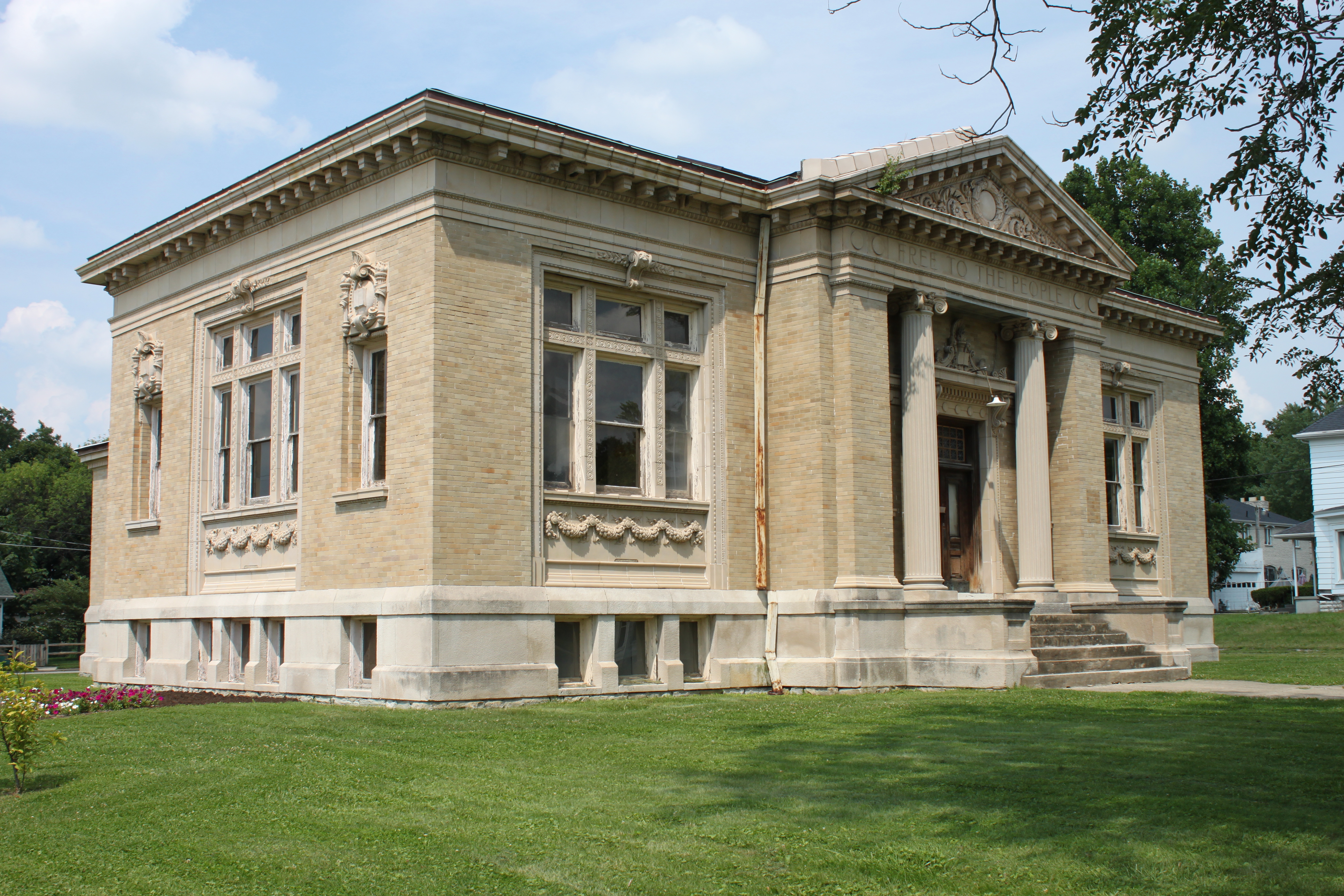
Carnegie Library, Xenia, OH

Cedar Cliff Falls

Xenia-Former Ohio Veterans' Children's Home Facility (COAF)

Xenia-Former Ohio Veterans' Children's Home Facility (CORF & COAF)
Topographic Map of Brickel Rd, Jamestown, OH, USA
Find elevation by address:

Places near Brickel Rd, Jamestown, OH, USA:
Jamestown
3 S Limestone St, Jamestown, OH, USA
Shawnee Trail, Jamestown, OH, USA
Shawnee Hills
Ross Township
4585 Waynesville Jamestown Rd
Silvercreek Township
Waynesville Jamestown Rd, Jamestown, OH, USA
New Jasper Township
Grape Grove Rd, Jamestown, OH, USA
1071 Long Rd
Jefferson Township
655 N Monroe Siding Rd
Hussey Rd, Jamestown, OH, USA
S Monroe Siding Rd, Xenia, OH, USA
Paintersville New Jasper Rd, Jamestown, OH, USA
Central State University
Xenia Township
Wilberforce
Greene County
Recent Searches:
- Elevation of Congressional Dr, Stevensville, MD, USA
- Elevation of Bellview Rd, McLean, VA, USA
- Elevation of Stage Island Rd, Chatham, MA, USA
- Elevation of Shibuya Scramble Crossing, 21 Udagawacho, Shibuya City, Tokyo -, Japan
- Elevation of Jadagoniai, Kaunas District Municipality, Lithuania
- Elevation of Pagonija rock, Kranto 7-oji g. 8"N, Kaunas, Lithuania
- Elevation of Co Rd 87, Jamestown, CO, USA
- Elevation of Tenjo, Cundinamarca, Colombia
- Elevation of Côte-des-Neiges, Montreal, QC H4A 3J6, Canada
- Elevation of Bobcat Dr, Helena, MT, USA