Elevation of Jefferson Township, OH, USA
Location: United States > Ohio > Greene County >
Longitude: -83.741163
Latitude: 39.5866405
Elevation: 321m / 1053feet
Barometric Pressure: 98KPa
Elevation Map:
Satellite Map:
Related Photos:
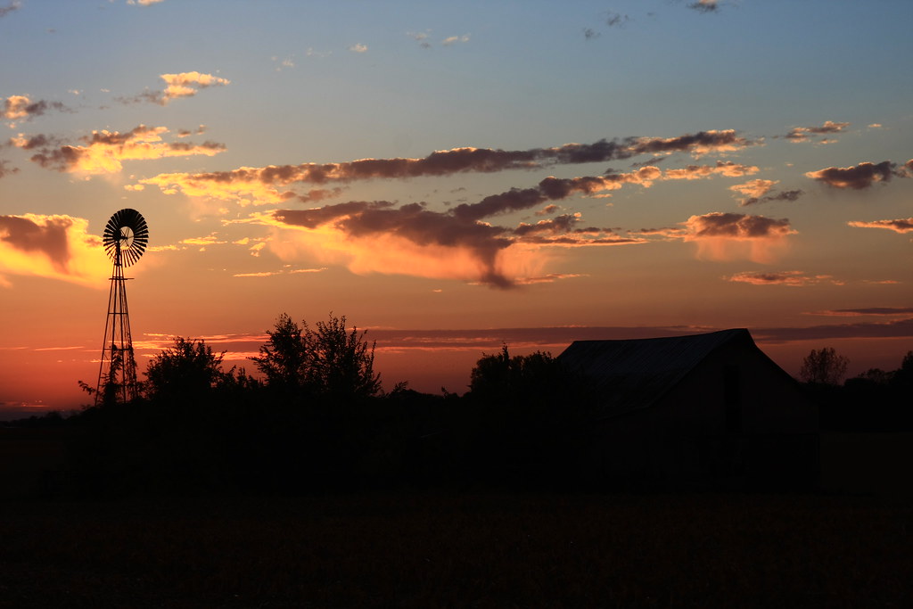
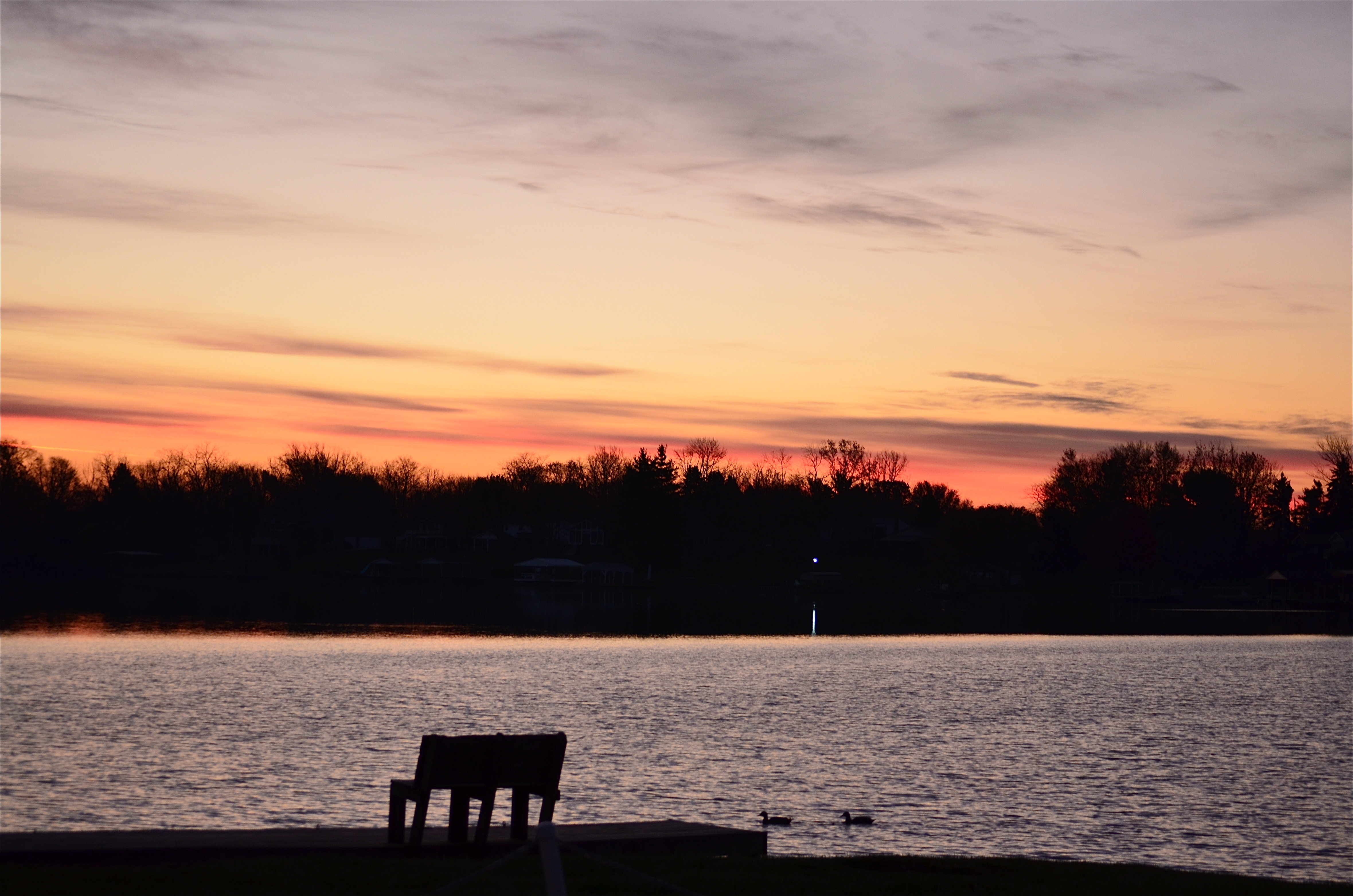
The Sky turns Pastel
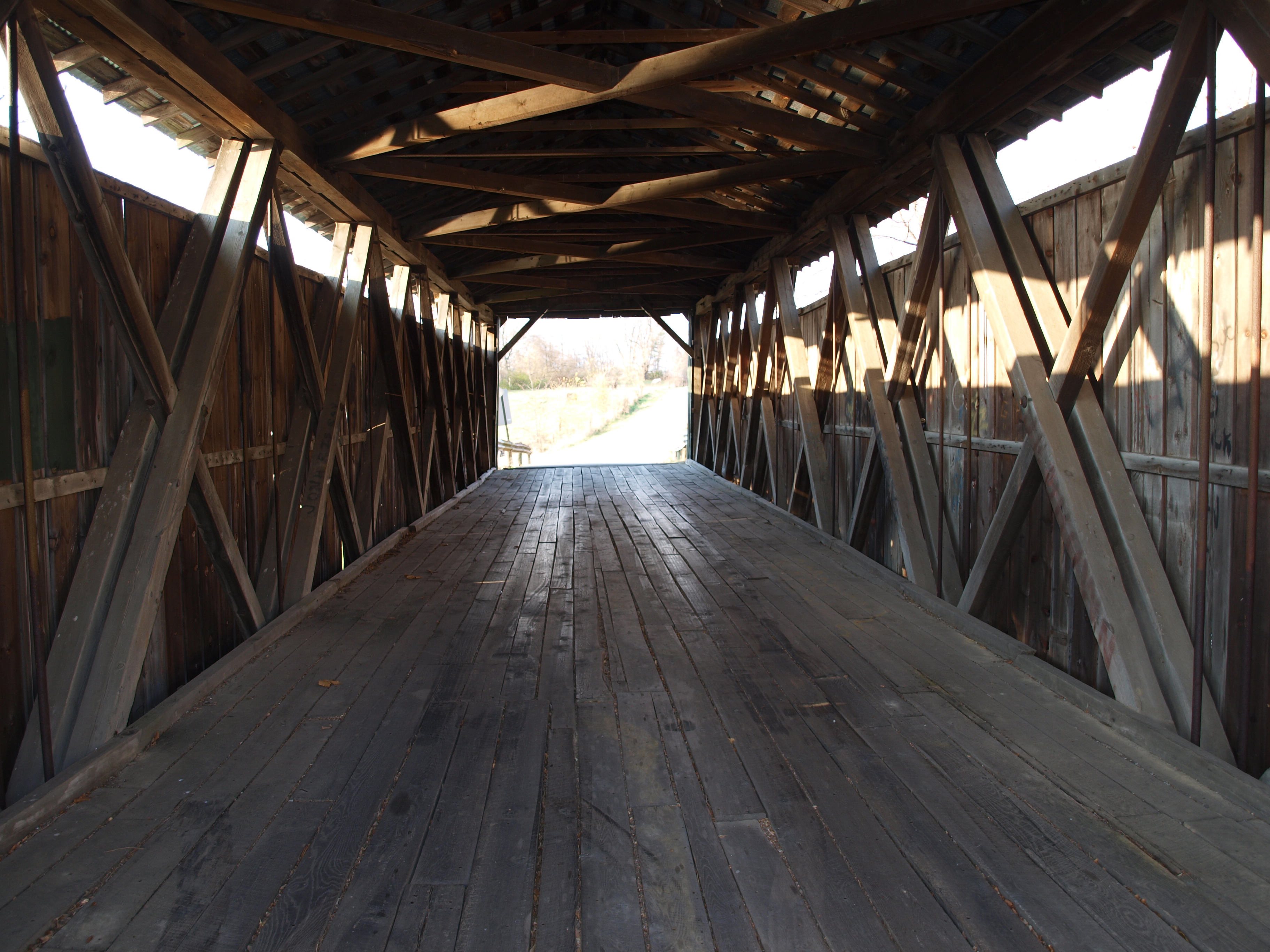
Ballard Road Covered Bridge barrel view, Greene County, OH
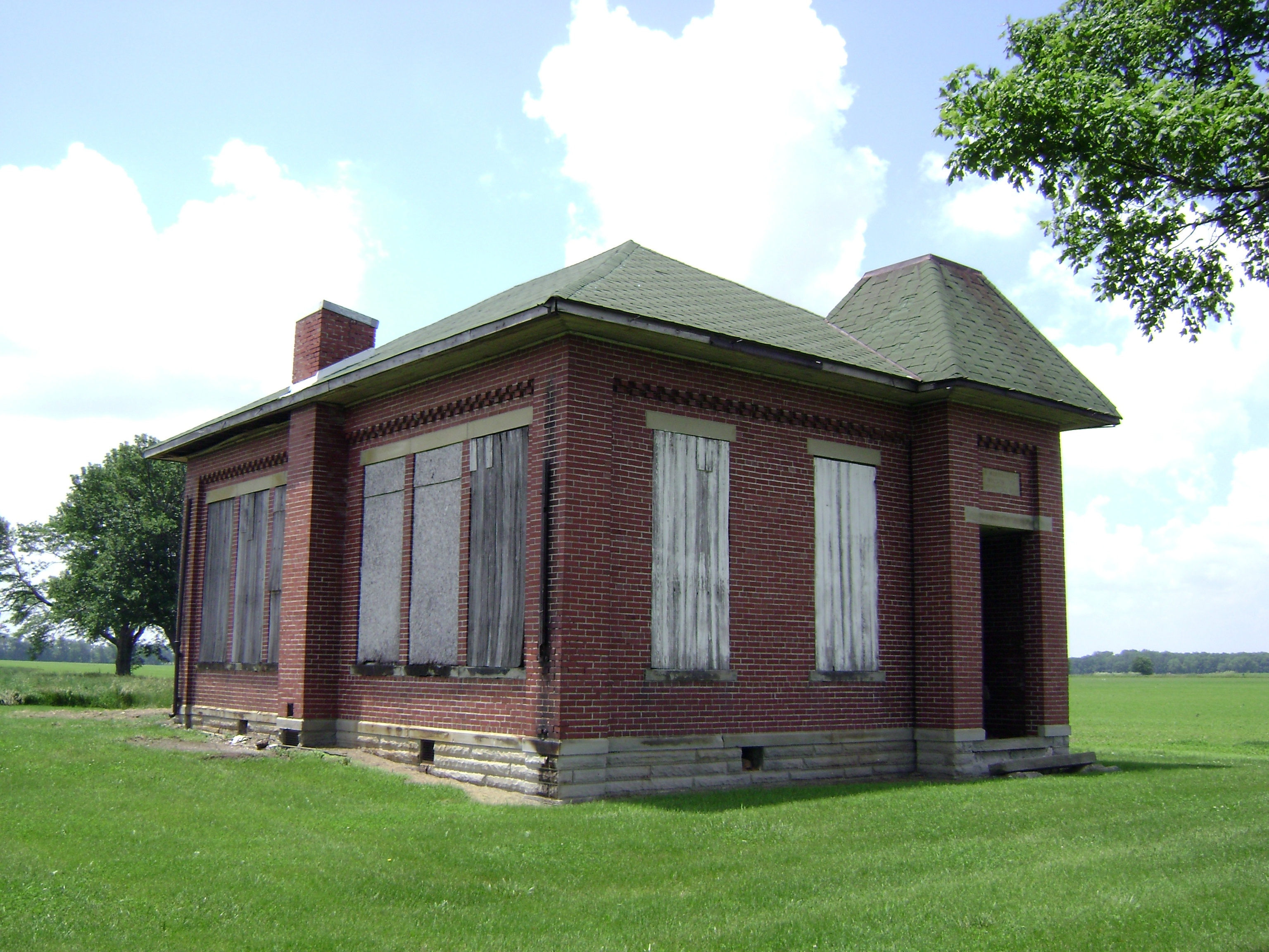
Bloomington, Ohio- Woodside Schoolhouse
37mm Mark A, Model I No.???? in Sabina

My kind of Walmart
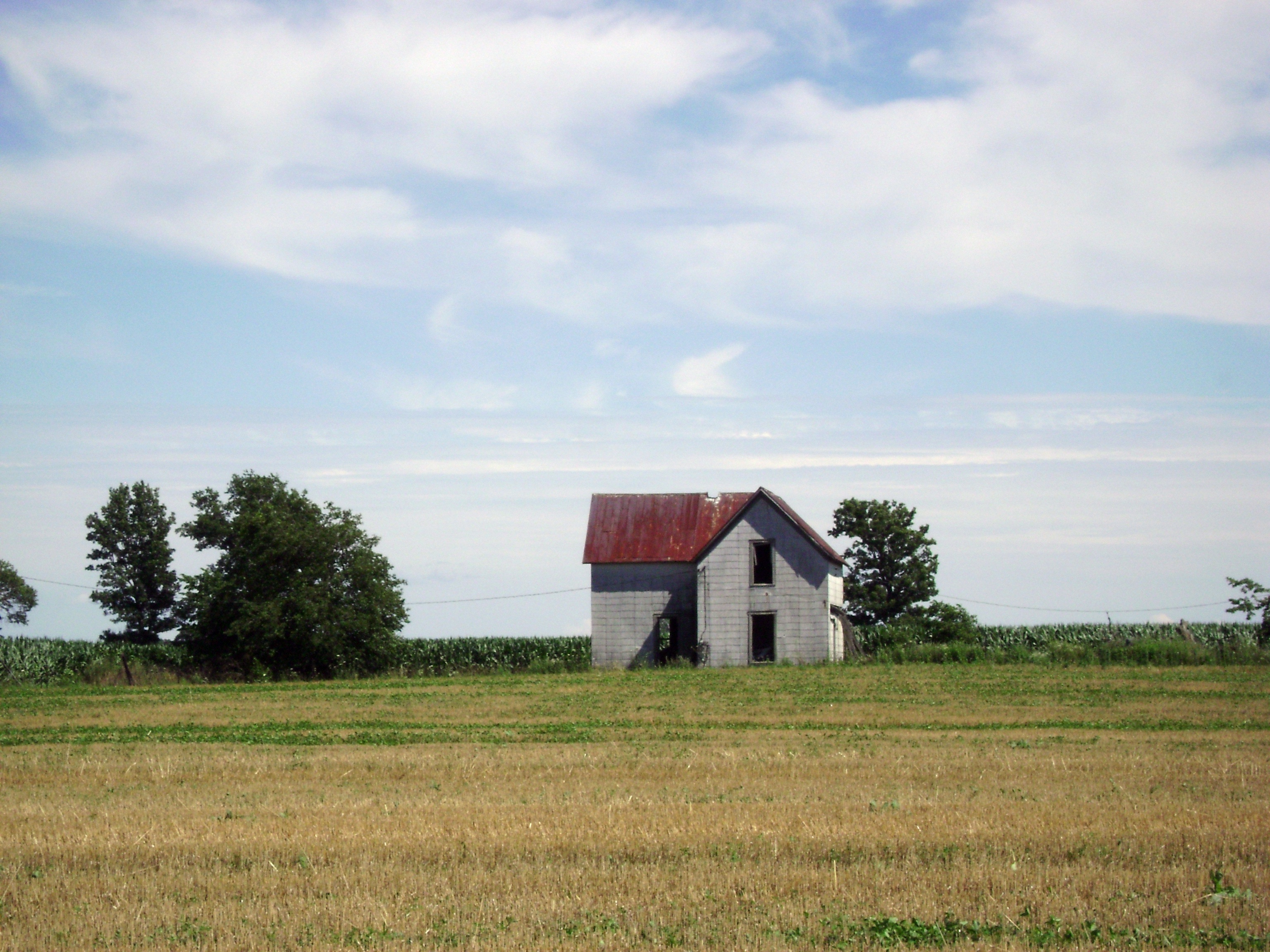
Milledgeville, Ohio

day is done
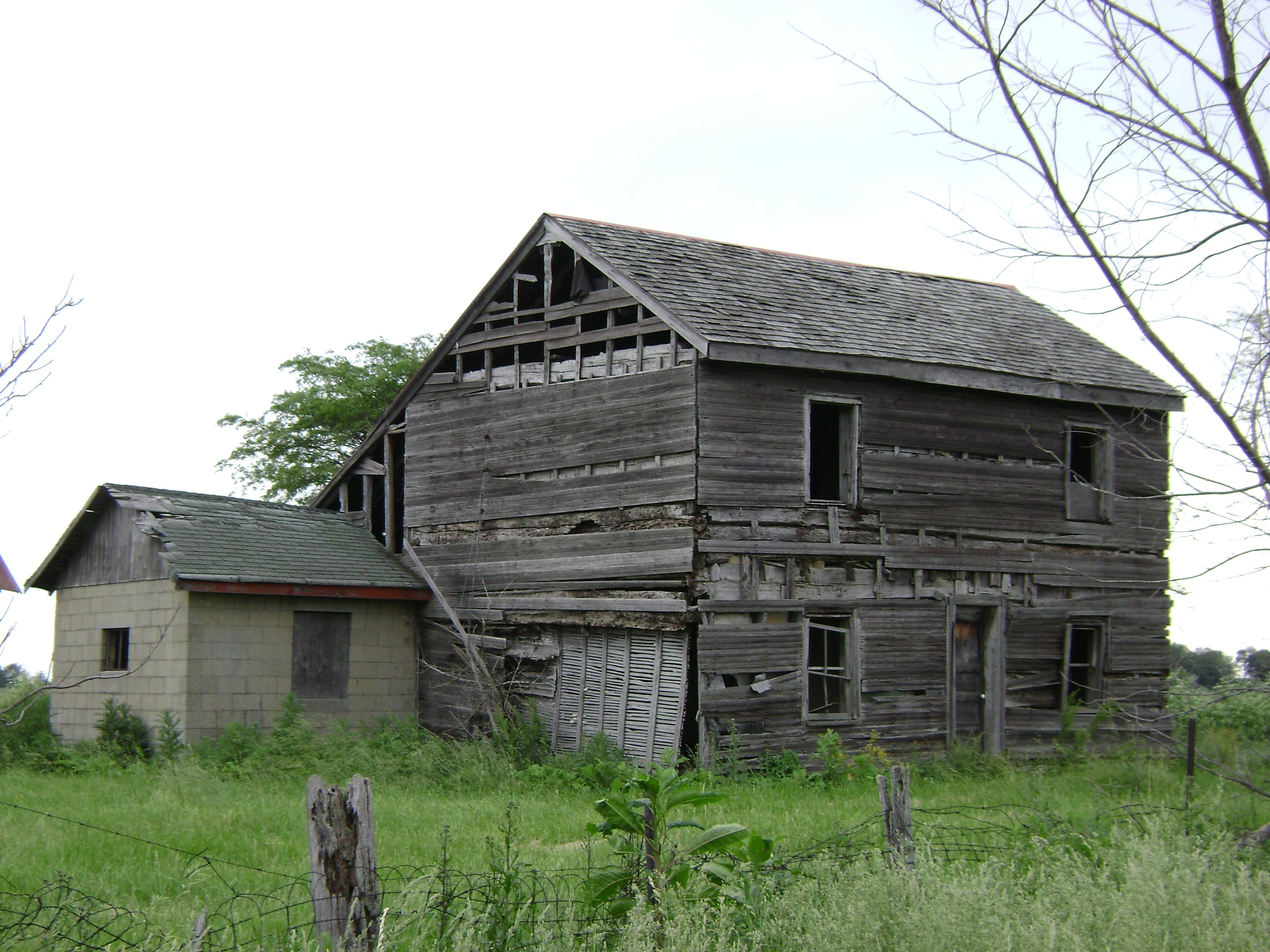
Bowersville, Ohio
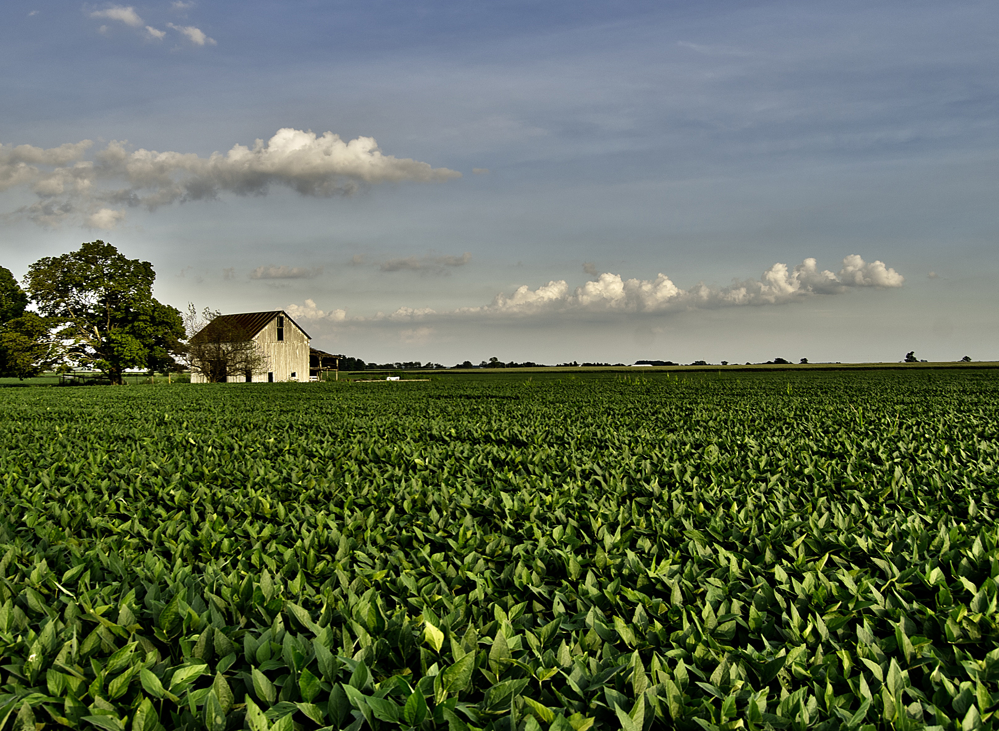
The Barn and field-HDR
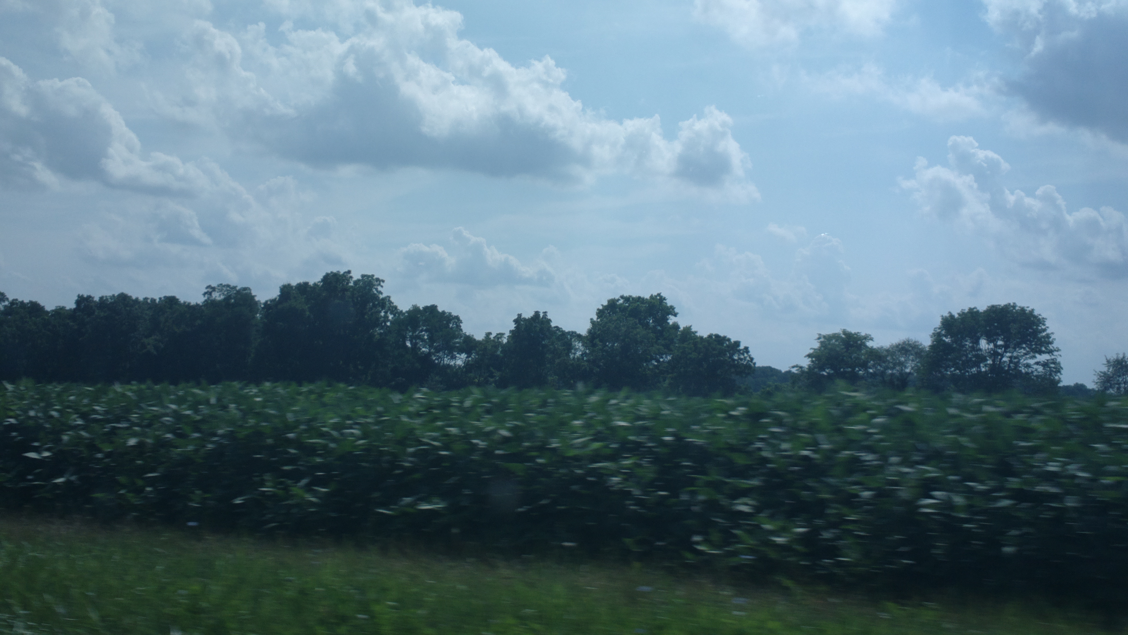
Driving home after fun day at Kings Island. Corn corn and more corn #Ohio #country #evening #vacation #funday #kingsisland

Xmas Dayton 2005
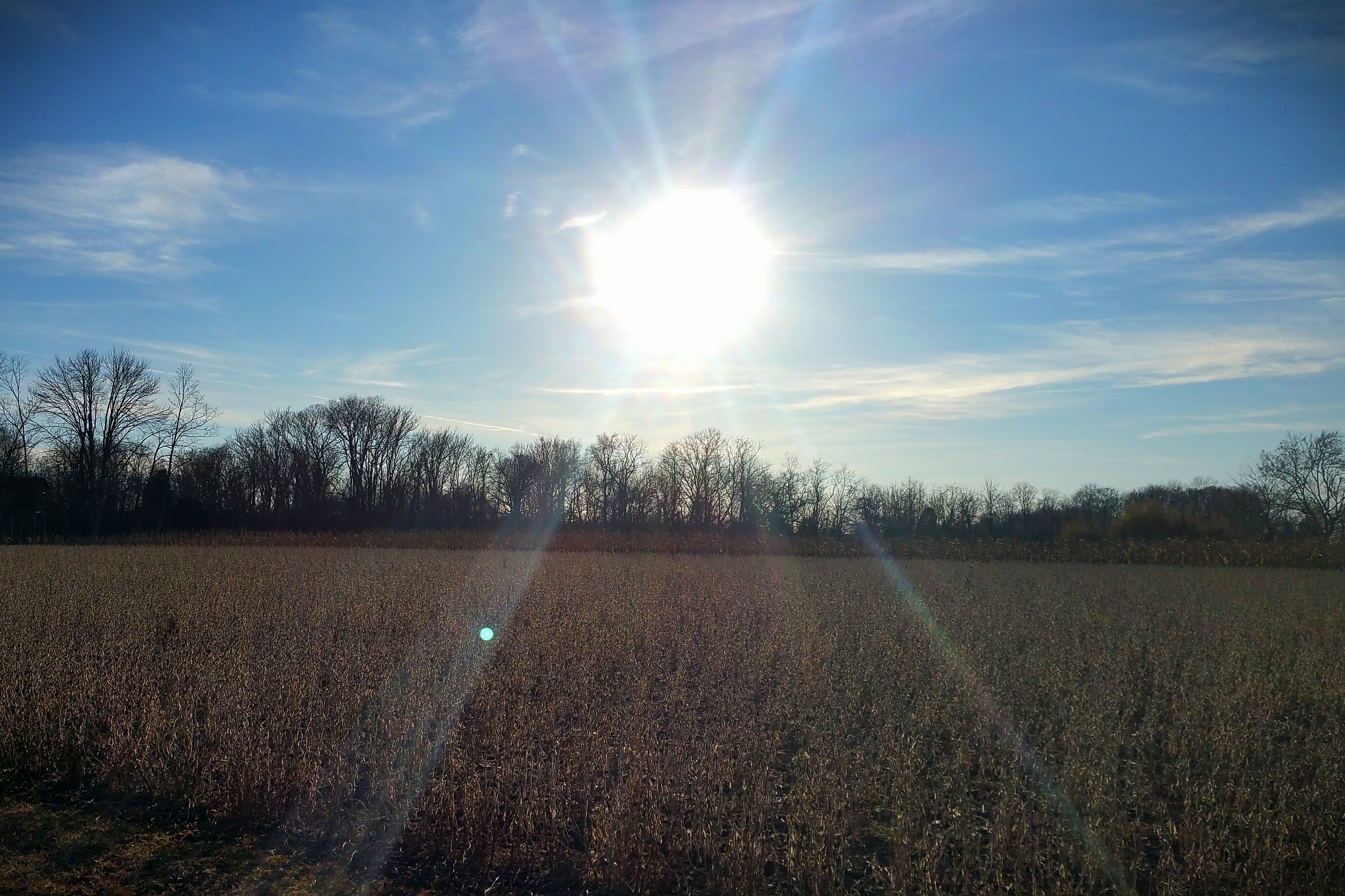
Sun Over Farm
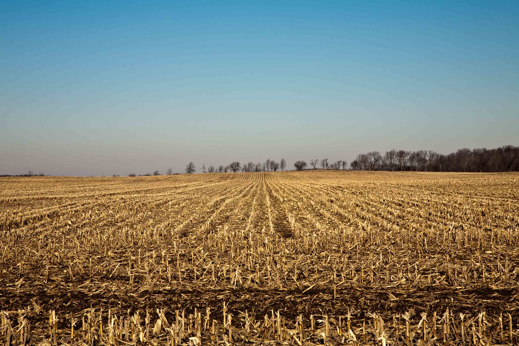
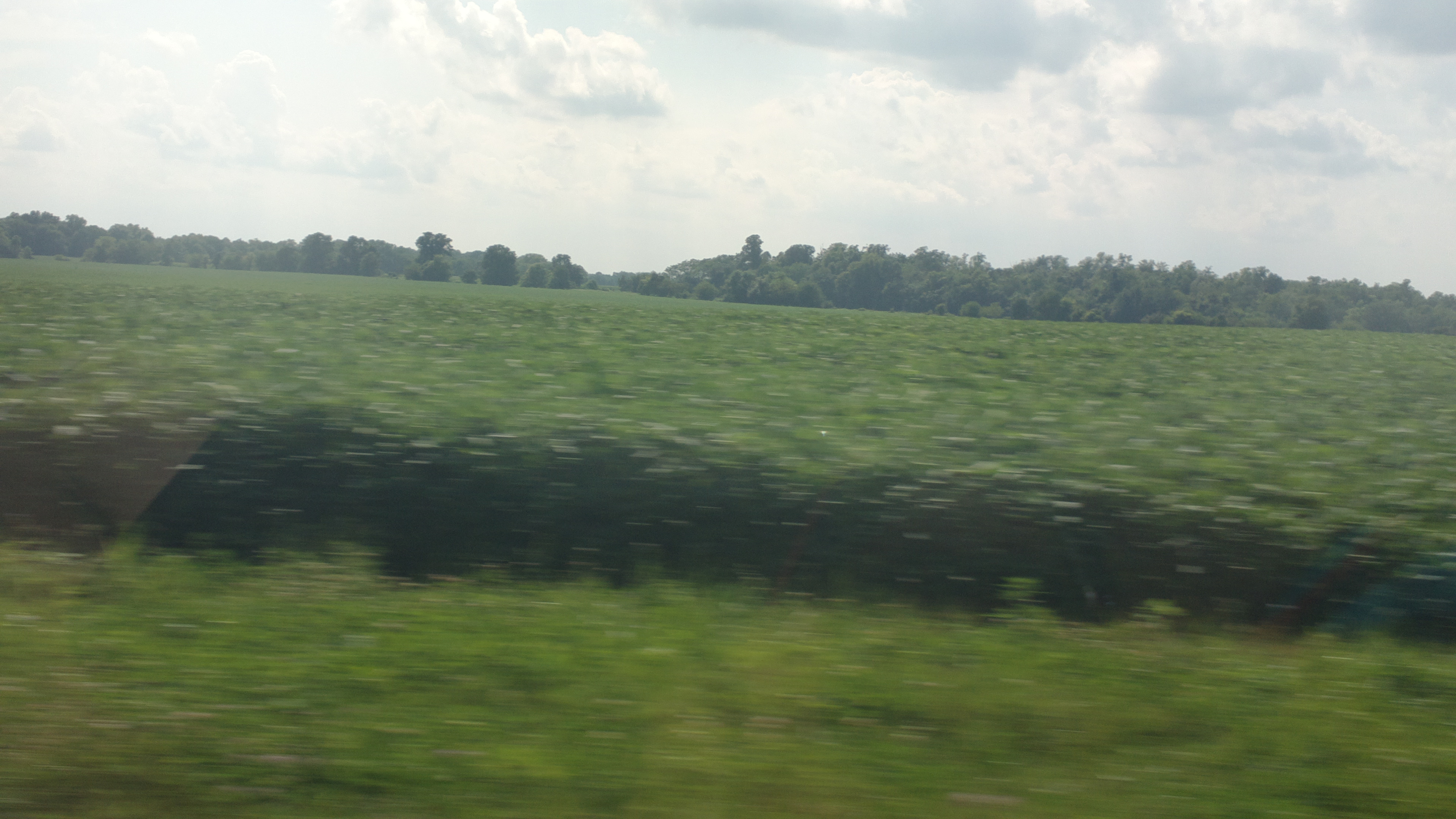
Corn Field
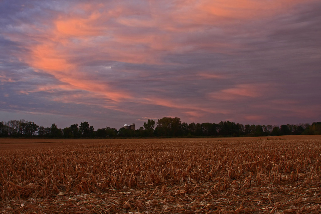
After the Harvest
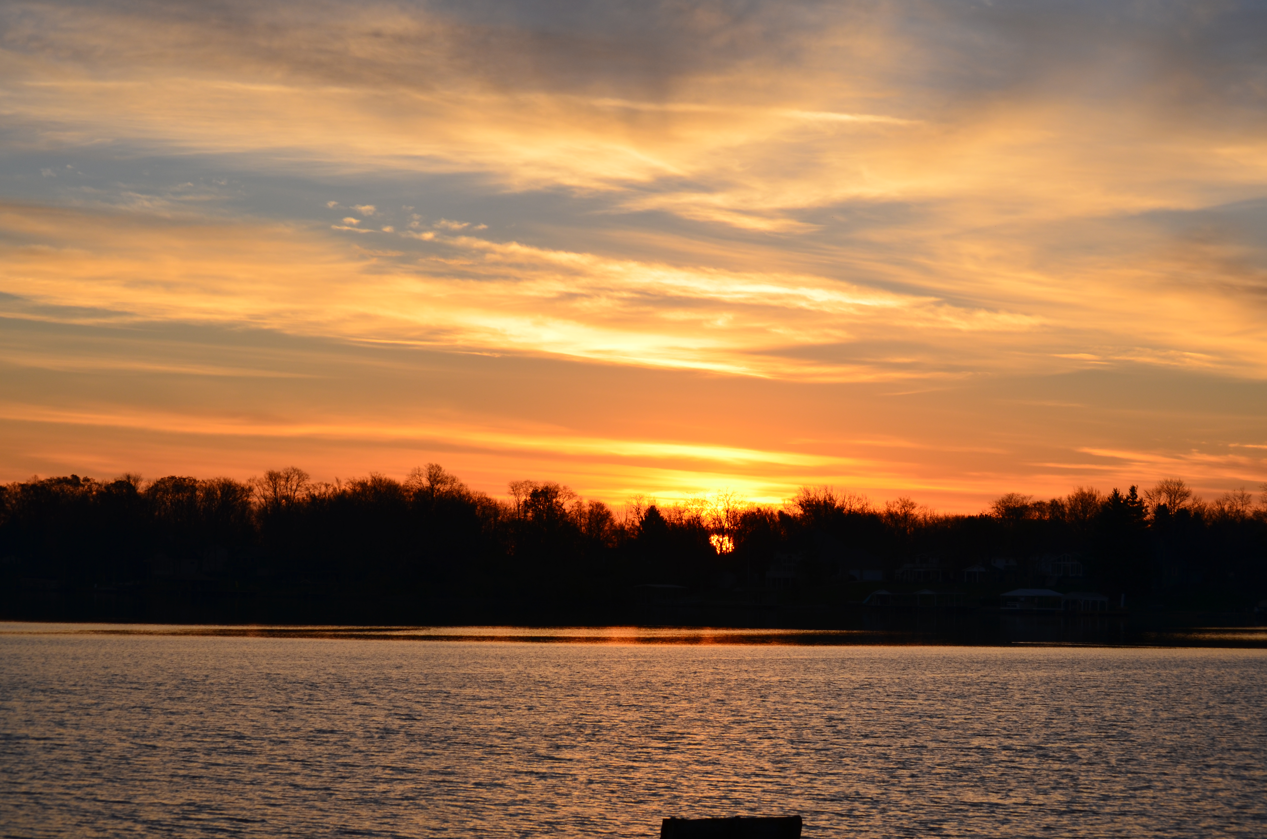
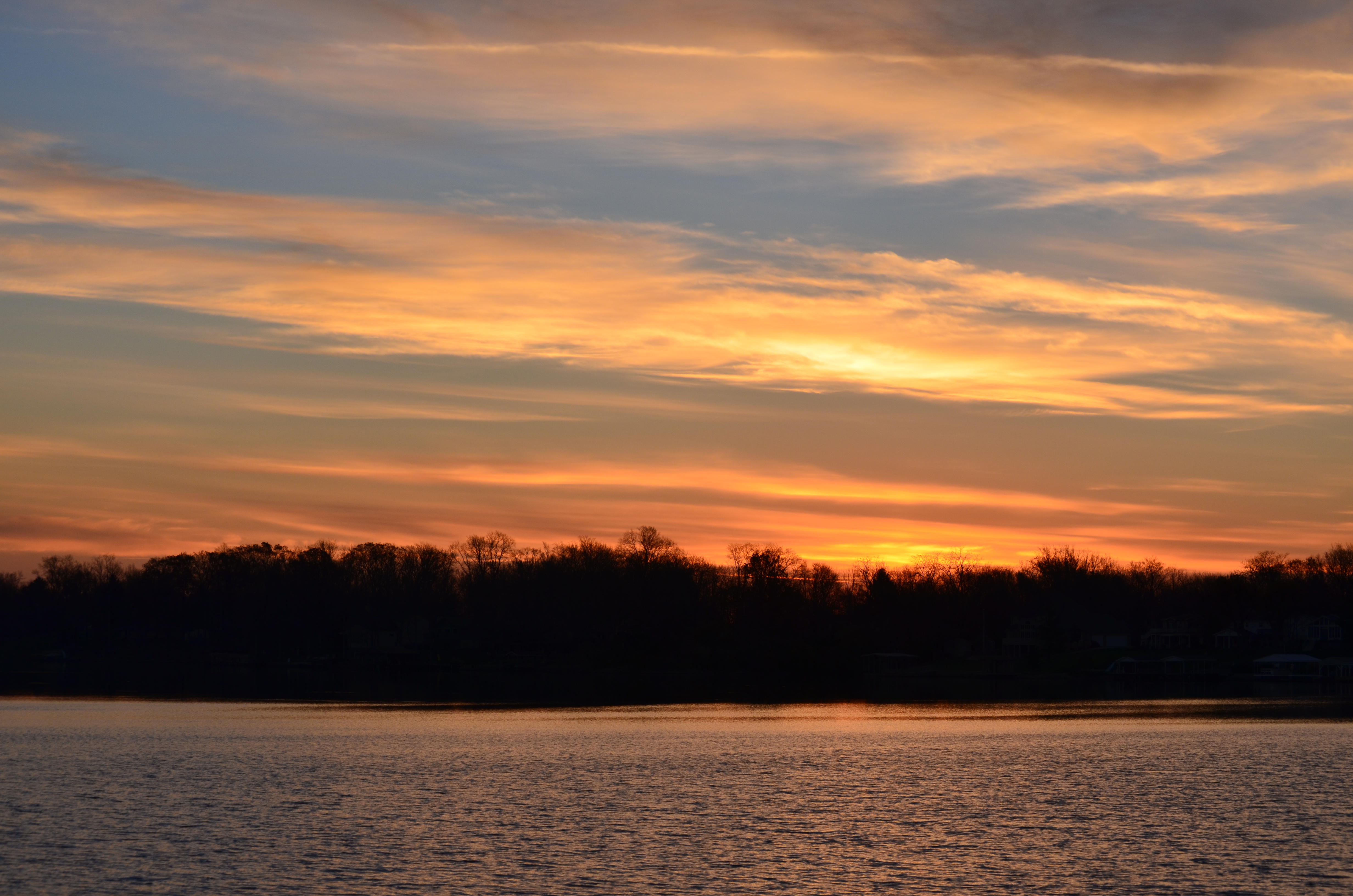
Shawnee Lake Sunrise 08

Shawnee Lake Sunrise 03

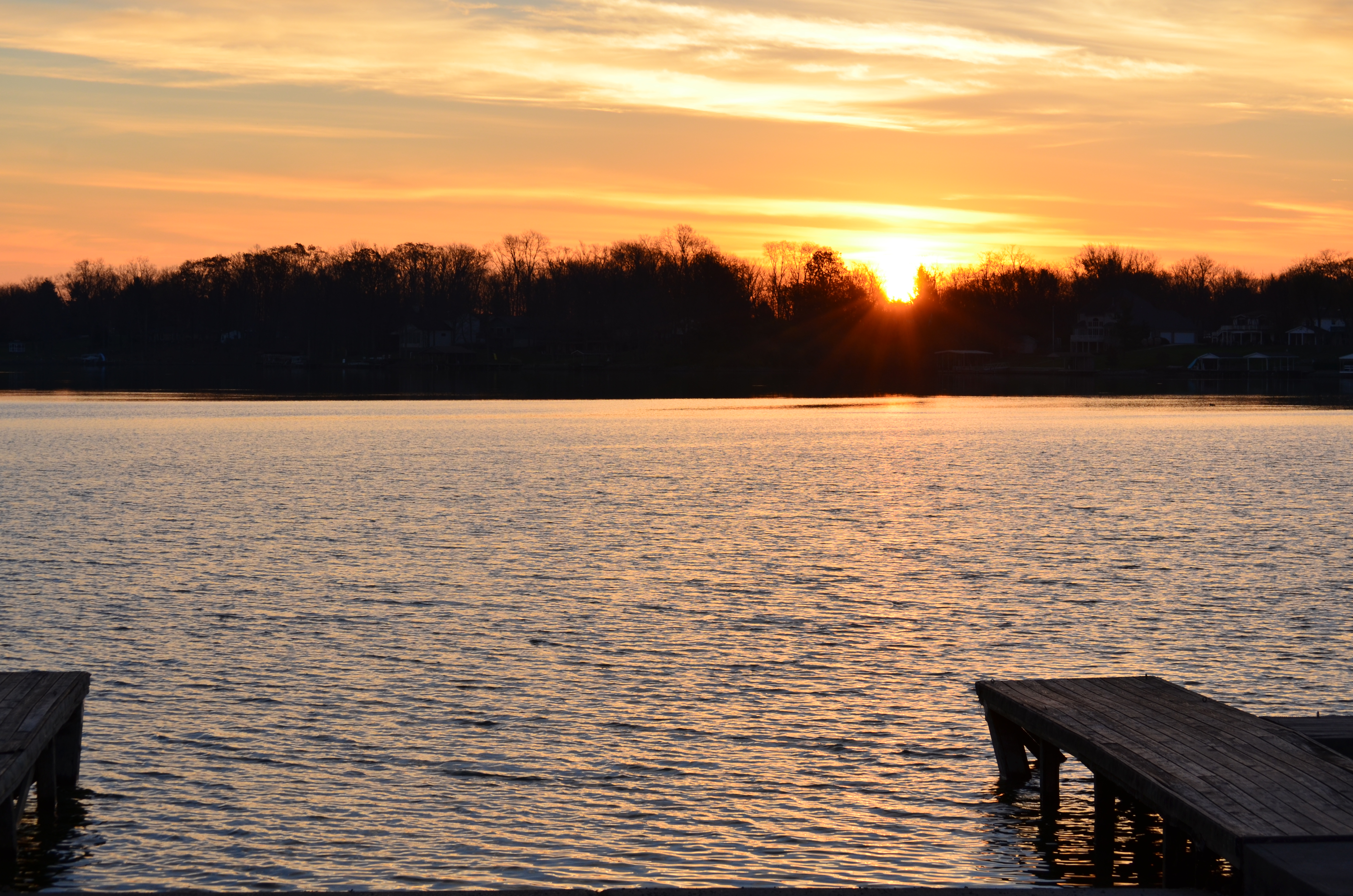
Shawnee Lake Sunrise 02
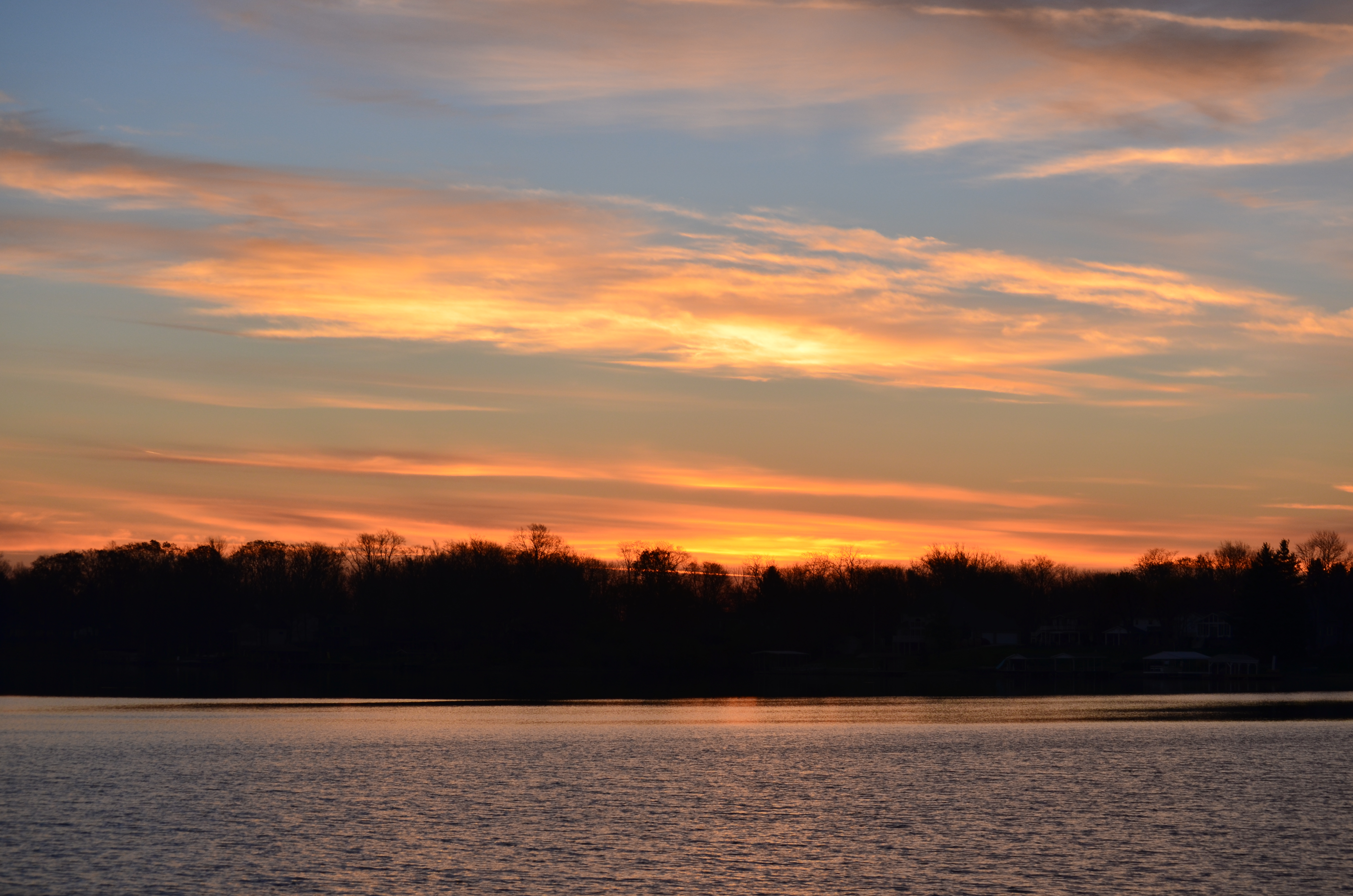
Shawnee Lake Sunrise 05
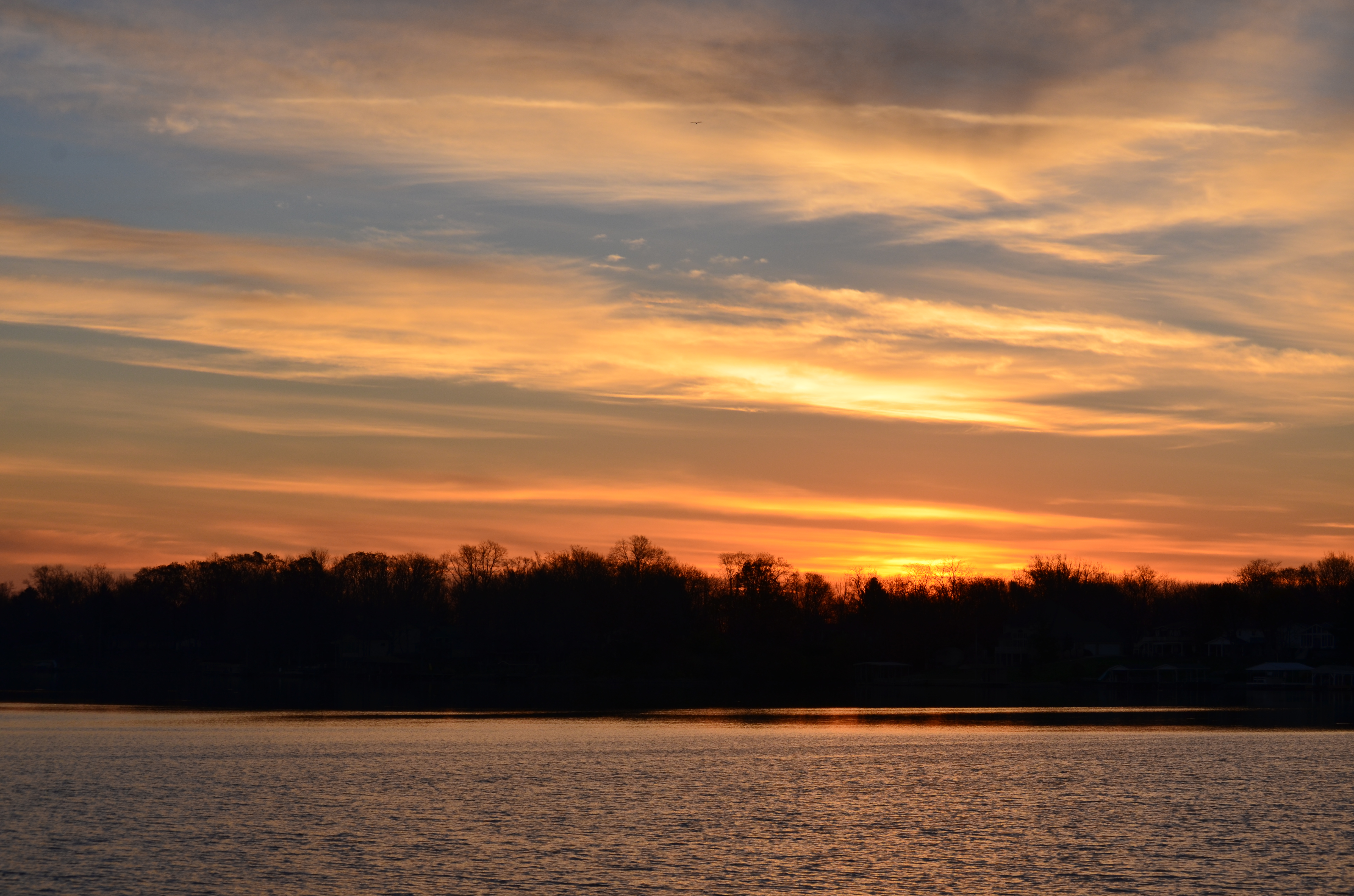
Shawnee Lake Sunrise 09

Shawnee Lake Sunrise 07
Shawnee Lake Sunrise 04
Shawnee Lake Sunrise 06
Shawnee Lake Sunrise 01
2013-08-10 roadtrip day 1

Tree along I-71
2013-08-10 roadtrip day 1

West Engle Bridge 2005 0529 (3)
Topographic Map of Jefferson Township, OH, USA
Find elevation by address:

Places in Jefferson Township, OH, USA:
Places near Jefferson Township, OH, USA:
Hussey Rd, Jamestown, OH, USA
Silvercreek Township
4585 Waynesville Jamestown Rd
2nd St, Port William, OH, USA
Waynesville Jamestown Rd, Jamestown, OH, USA
3 S Limestone St, Jamestown, OH, USA
Jamestown
Paintersville New Jasper Rd, Jamestown, OH, USA
Shawnee Hills
Shawnee Trail, Jamestown, OH, USA
570 Brickel Rd
New Jasper Township
25 New Burlington Rd, Wilmington, OH, USA
1071 Long Rd
Ross Township
Grape Grove Rd, Jamestown, OH, USA
S Monroe Siding Rd, Xenia, OH, USA
655 N Monroe Siding Rd
Winchester Rd, Xenia, OH, USA
767 S Bickett Rd
Recent Searches:
- Elevation of Congressional Dr, Stevensville, MD, USA
- Elevation of Bellview Rd, McLean, VA, USA
- Elevation of Stage Island Rd, Chatham, MA, USA
- Elevation of Shibuya Scramble Crossing, 21 Udagawacho, Shibuya City, Tokyo -, Japan
- Elevation of Jadagoniai, Kaunas District Municipality, Lithuania
- Elevation of Pagonija rock, Kranto 7-oji g. 8"N, Kaunas, Lithuania
- Elevation of Co Rd 87, Jamestown, CO, USA
- Elevation of Tenjo, Cundinamarca, Colombia
- Elevation of Côte-des-Neiges, Montreal, QC H4A 3J6, Canada
- Elevation of Bobcat Dr, Helena, MT, USA