Elevation of 2nd St, Port William, OH, USA
Location: United States > Ohio > Clinton County >
Longitude: -83.786113
Latitude: 39.551837
Elevation: 311m / 1020feet
Barometric Pressure: 98KPa
Elevation Map:
Satellite Map:
Related Photos:
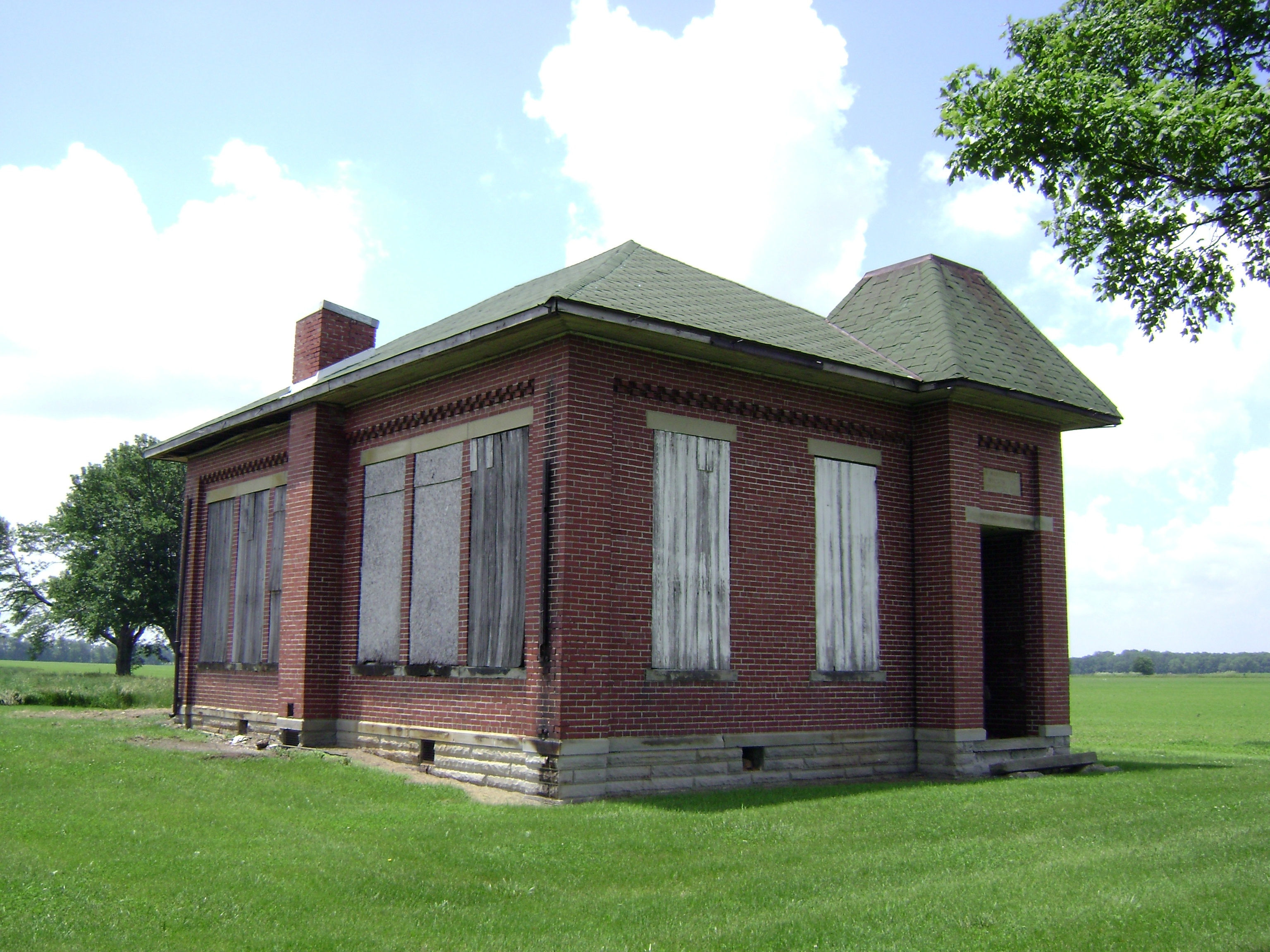
Bloomington, Ohio- Woodside Schoolhouse
37mm Mark A, Model I No.???? in Sabina

The Sky turns Pastel
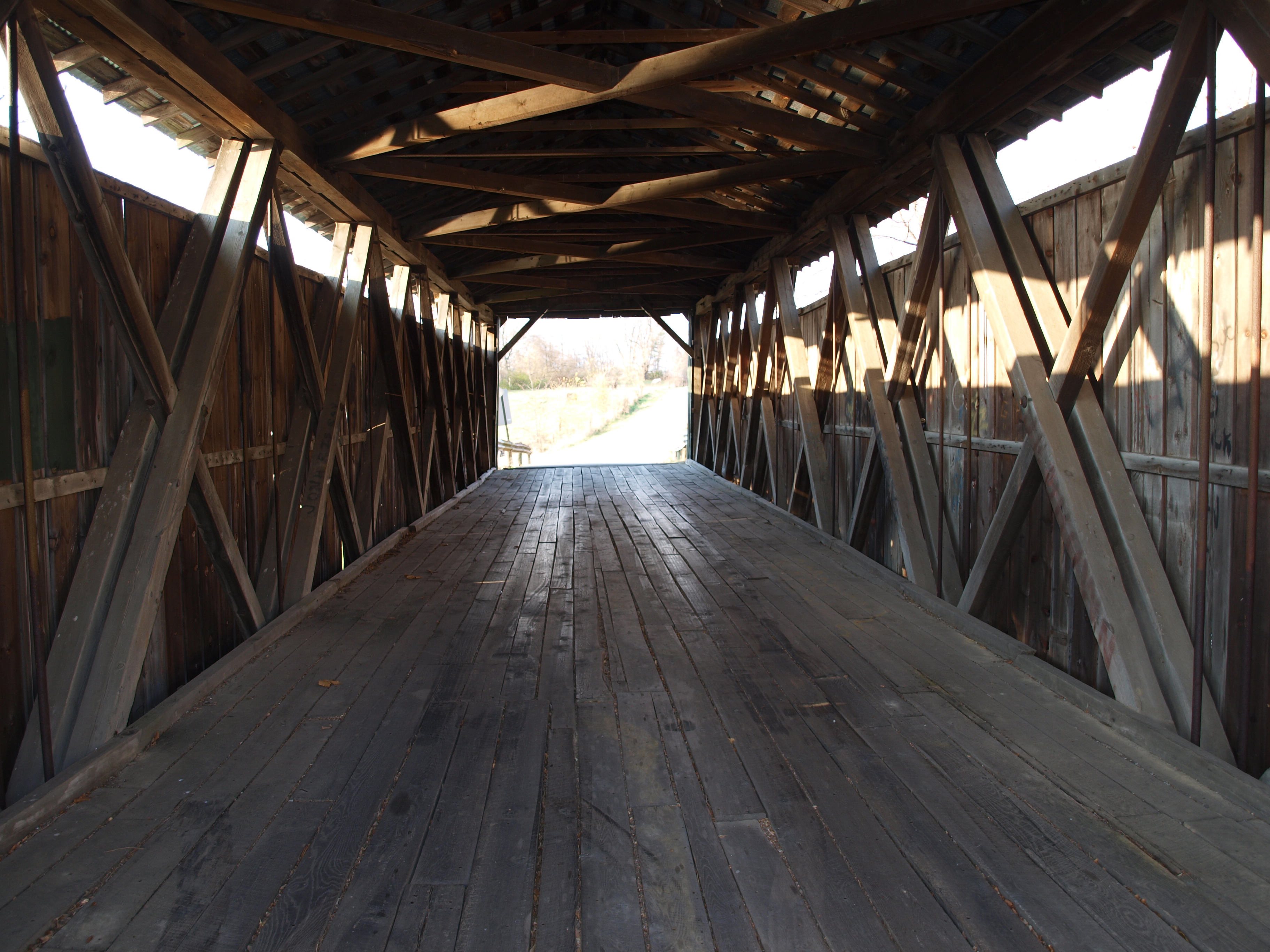
Ballard Road Covered Bridge barrel view, Greene County, OH

GREAT BLUE HERON

GREAT BLUE HERON

GREAT BLUE HERON

View in Wilmington

Peggy Hampson

Fred Matthews
My kind of Walmart

US Air Force F-101B 57-0308 at ILN - Belly View
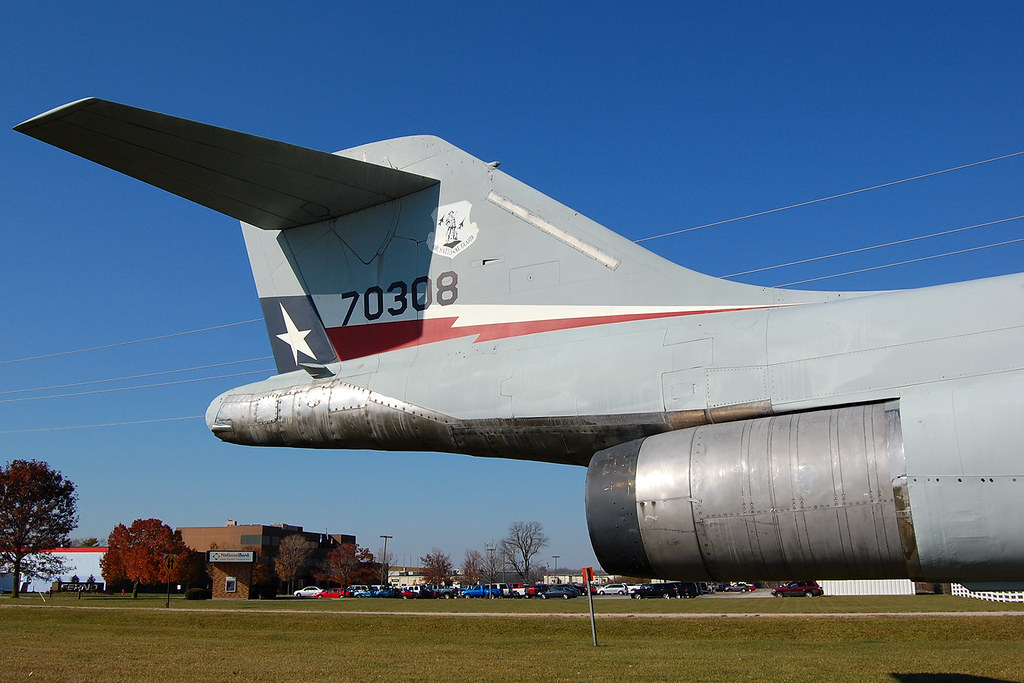
US Air Force F-101B 57-0308 at ILN

LEAST SANDPIPERS - LANDING

GREAT BLUE HERON

The Barn and field-HDR

day is done

GREAT BLUE HERON at the MUDFLAT

Driving home after fun day at Kings Island. Corn corn and more corn #Ohio #country #evening #vacation #funday #kingsisland

Xmas Dayton 2005

Sun Over Farm

After the Harvest

Shawnee Lake Sunrise 08

Blue skies, puffy clouds, tall corn stalks

Jeff taking aim at his first pheasant

SILVER-SPOTTED SKIPPER

Shawnee Lake Sunrise 03

Cherry Bend Pheasant Farm - 12/26/11
Cold winter day, a big change from last year's hunt

Shawnee Lake Sunrise 02

Feathers flying!

Couldn't ask for a much better day in late December

Shawnee Lake Sunrise 05

Shawnee Lake Sunrise 09

Ryan taking aim

Shawnee Lake Sunrise 07
Topographic Map of 2nd St, Port William, OH, USA
Find elevation by address:

Places near 2nd St, Port William, OH, USA:
Hussey Rd, Jamestown, OH, USA
Paintersville New Jasper Rd, Jamestown, OH, USA
Jefferson Township
25 New Burlington Rd, Wilmington, OH, USA
Waynesville Jamestown Rd, Jamestown, OH, USA
4585 Waynesville Jamestown Rd
Shawnee Hills
Shawnee Trail, Jamestown, OH, USA
Silvercreek Township
1071 Long Rd
New Jasper Township
3 S Limestone St, Jamestown, OH, USA
Jamestown
Winchester Rd, Xenia, OH, USA
570 Brickel Rd
S Monroe Siding Rd, Xenia, OH, USA
767 S Bickett Rd
655 N Monroe Siding Rd
Greene County
Ross Township
Recent Searches:
- Elevation of Felindre, Swansea SA5 7LU, UK
- Elevation of Leyte Industrial Development Estate, Isabel, Leyte, Philippines
- Elevation of W Granada St, Tampa, FL, USA
- Elevation of Pykes Down, Ivybridge PL21 0BY, UK
- Elevation of Jalan Senandin, Lutong, Miri, Sarawak, Malaysia
- Elevation of Bilohirs'k
- Elevation of 30 Oak Lawn Dr, Barkhamsted, CT, USA
- Elevation of Luther Road, Luther Rd, Auburn, CA, USA
- Elevation of Unnamed Road, Respublika Severnaya Osetiya — Alaniya, Russia
- Elevation of Verkhny Fiagdon, North Ossetia–Alania Republic, Russia