Elevation of Washington, KS, USA
Location: United States > Kansas > Wabaunsee County >
Longitude: -96.429036
Latitude: 38.9982836
Elevation: 415m / 1362feet
Barometric Pressure: 96KPa
Elevation Map:
Satellite Map:
Related Photos:
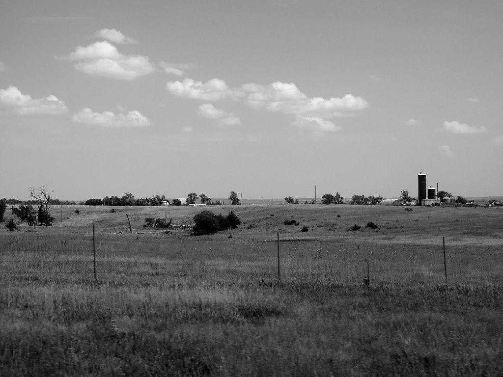
Panorama from Deep Creek Road South of I 70
Alta Vista, Kansas
Alma, Panorama, 2 July 2011
Alta Vista steeple
SAN-NYC (424)
A View of the Flint Hills
Pillsbury Crossing Waterfall
Room With a View

Pano of Pillsbury Crossing Pond
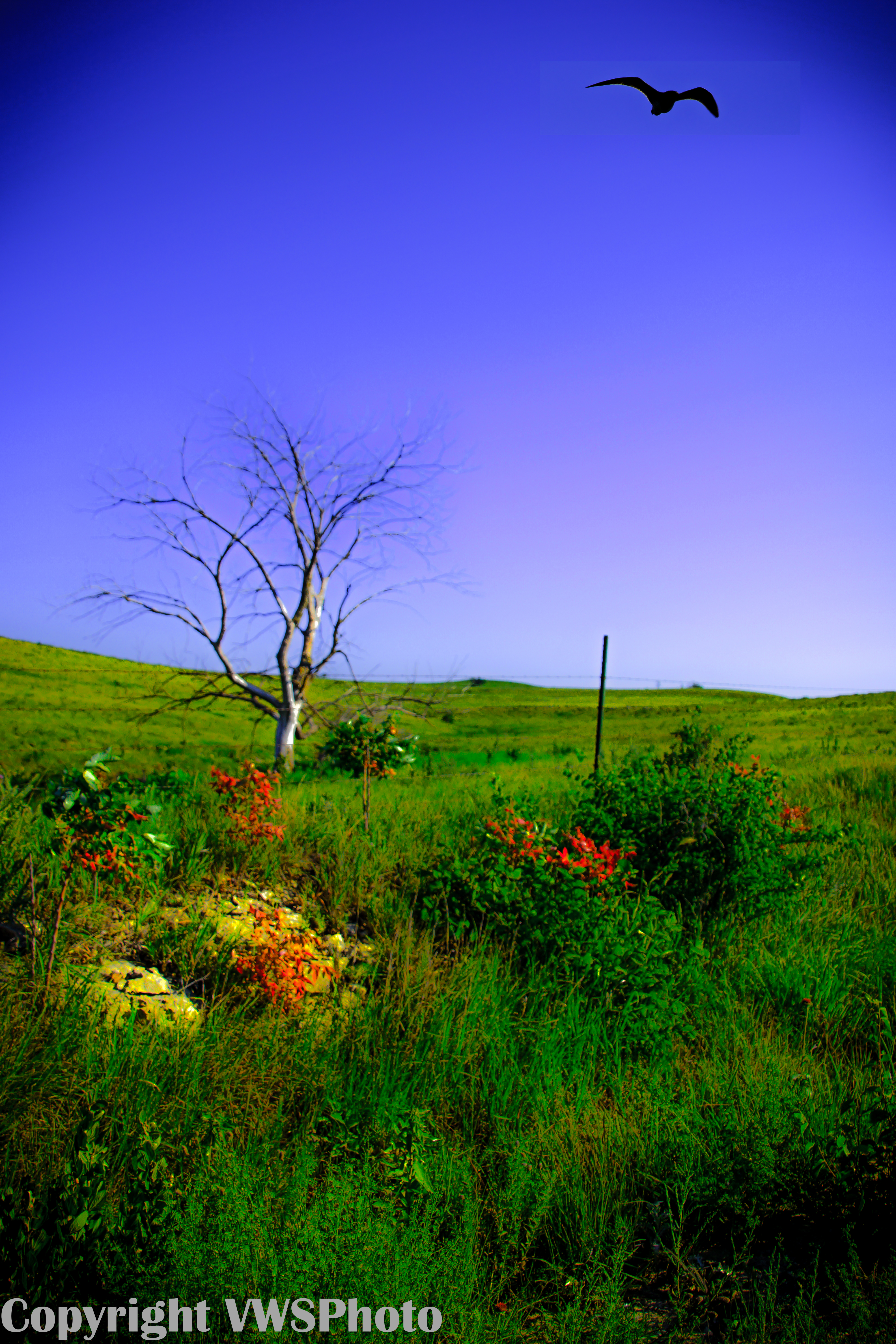
From the Darkness Rises Beauty
SAN-NYC (428)
SAN-NYC (427)
onto the hill we go

I-70/K-99 interchange, 2 July 2011
SAN-NYC (426)
Kestrel on the Flint Hills
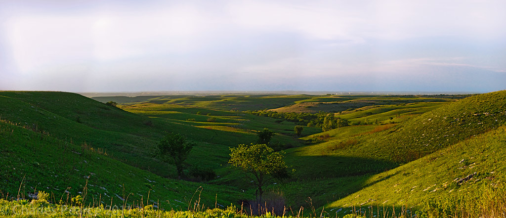
Konza Prairie Panorama
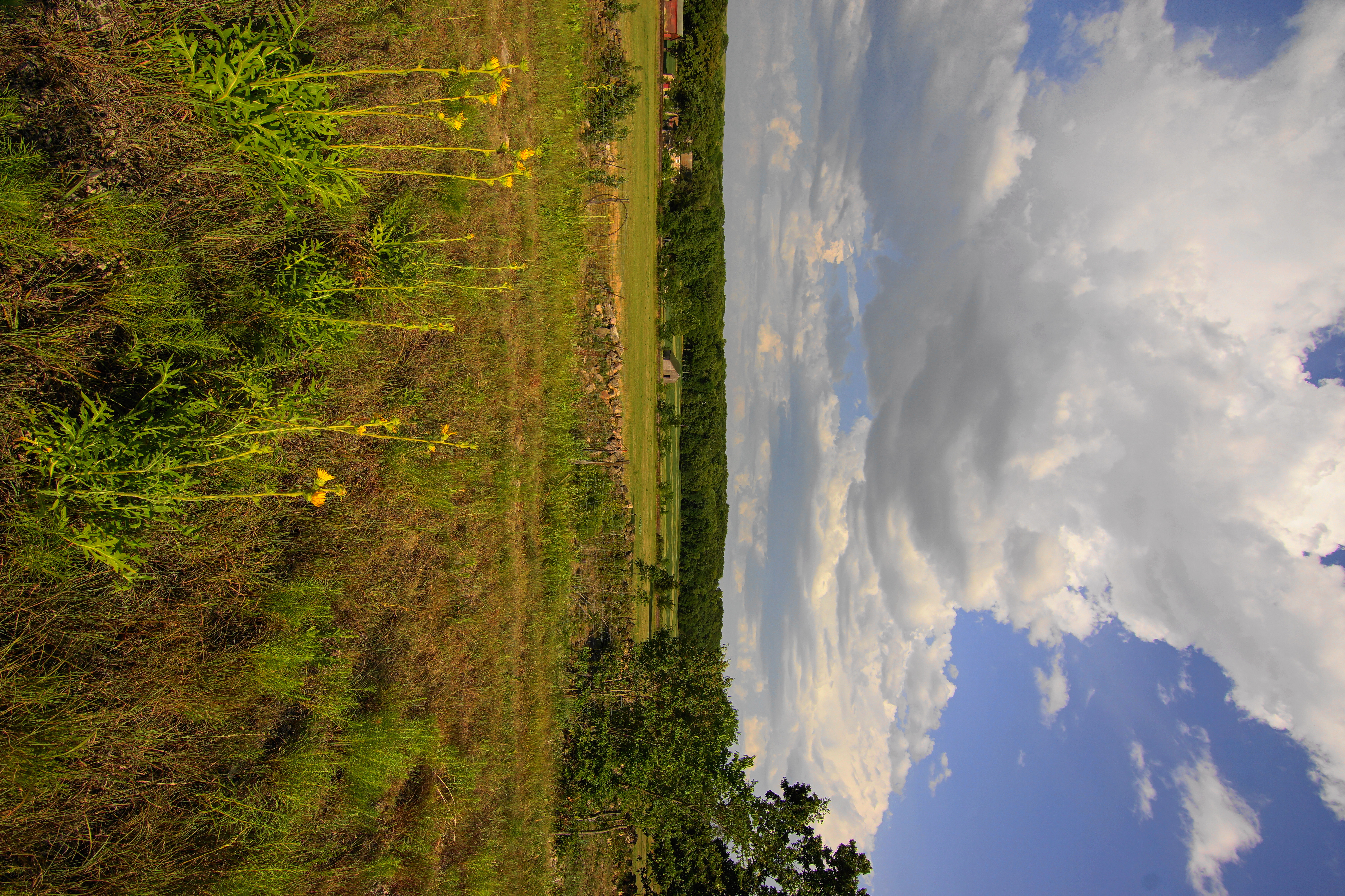
Wild Sunflowers (Compass Flowers)on a cloudy summer day Skyline drive

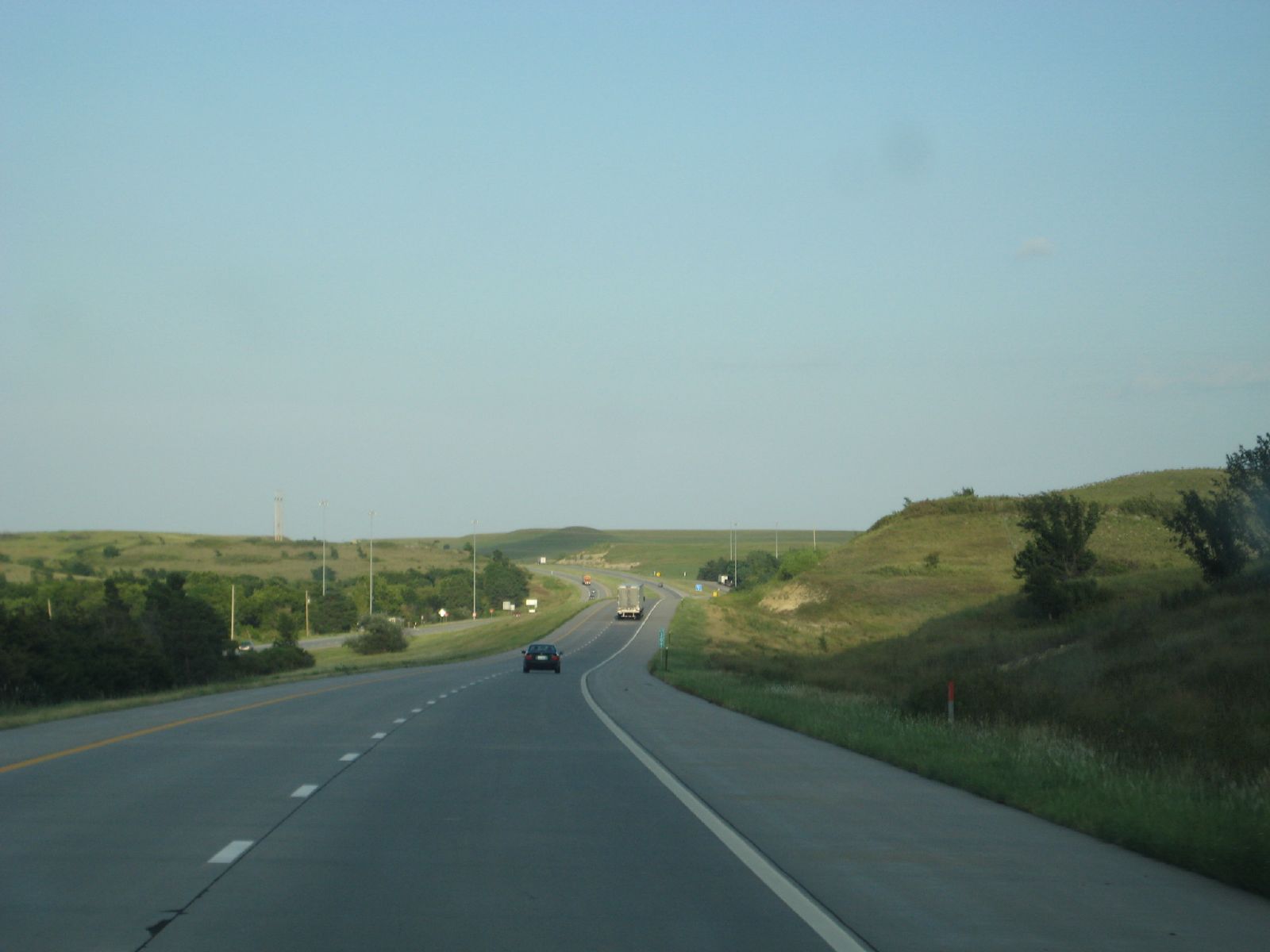
Eastbound Stacker
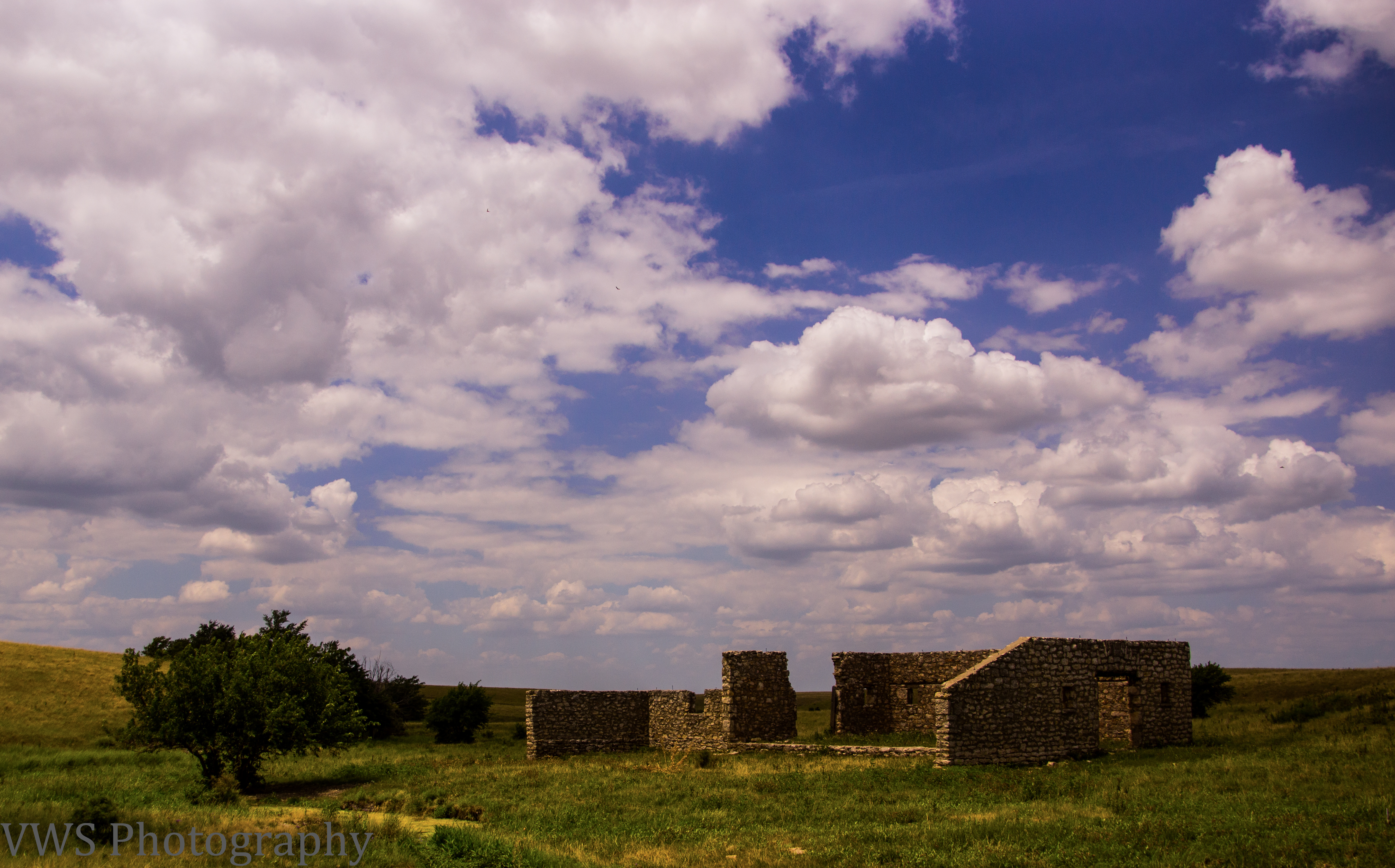
Abandoned Stone Dairy Barn on Deep Creek Road S of I70

The whole picture

Along Skyline Road

LOG_0079_edited-1
Konza prairie Kansas
Aunty Em…Aunty Em…Aunty Em!
Konza prairie Kansas
Volland Schoolhouse and Old K-10, 30 Aug 2015
Volland Schoolhouse, 30 Aug 2015
Cooling Summer Clouds over the Flint Hills

Flint Hills Summer Clouds
Last of the Wild Sunflowers Skyline drive
Topographic Map of Washington, KS, USA
Find elevation by address:

Places in Washington, KS, USA:
Places near Washington, KS, USA:
Volland Rd, Alma, KS, USA
Alma
Alma
Chapel St, Wamego, KS, USA
Bird Runner Wildlife Refuge
Wabaunsee
3010 Shane Creek Ln
3005 Shane Creek Ln
Saint George
3150 Mcdowell Creek Rd
Manhattan
Swamp Angel Rd, Manhattan, KS, USA
Mount Mitchell Road
St. George
Chenango St, Manhattan, KS, USA
9250 Cara's Way
9978 Lavender Ln
9978 Lavender Ln
9978 Lavender Ln
4945 Blackjack Rd
Recent Searches:
- Elevation of E 63rd St, New York, NY, USA
- Elevation of Elk City, OK, USA
- Elevation of Erika Dr, Windsor, CA, USA
- Elevation of Village Ln, Finleyville, PA, USA
- Elevation of 24 Oakland Rd #, Scotland, ON N0E 1R0, Canada
- Elevation of Deep Gap Farm Rd E, Mill Spring, NC, USA
- Elevation of Dog Leg Dr, Minden, NV, USA
- Elevation of Dog Leg Dr, Minden, NV, USA
- Elevation of Kambingan Sa Pansol Atbp., Purok 7 Pansol, Candaba, Pampanga, Philippines
- Elevation of Pinewood Dr, New Bern, NC, USA