Elevation of Chapel St, Wamego, KS, USA
Location: United States > Kansas > Wabaunsee County > Wabaunsee >
Longitude: -96.345802
Latitude: 39.1439043
Elevation: 318m / 1043feet
Barometric Pressure: 98KPa
Elevation Map:
Satellite Map:
Related Photos:

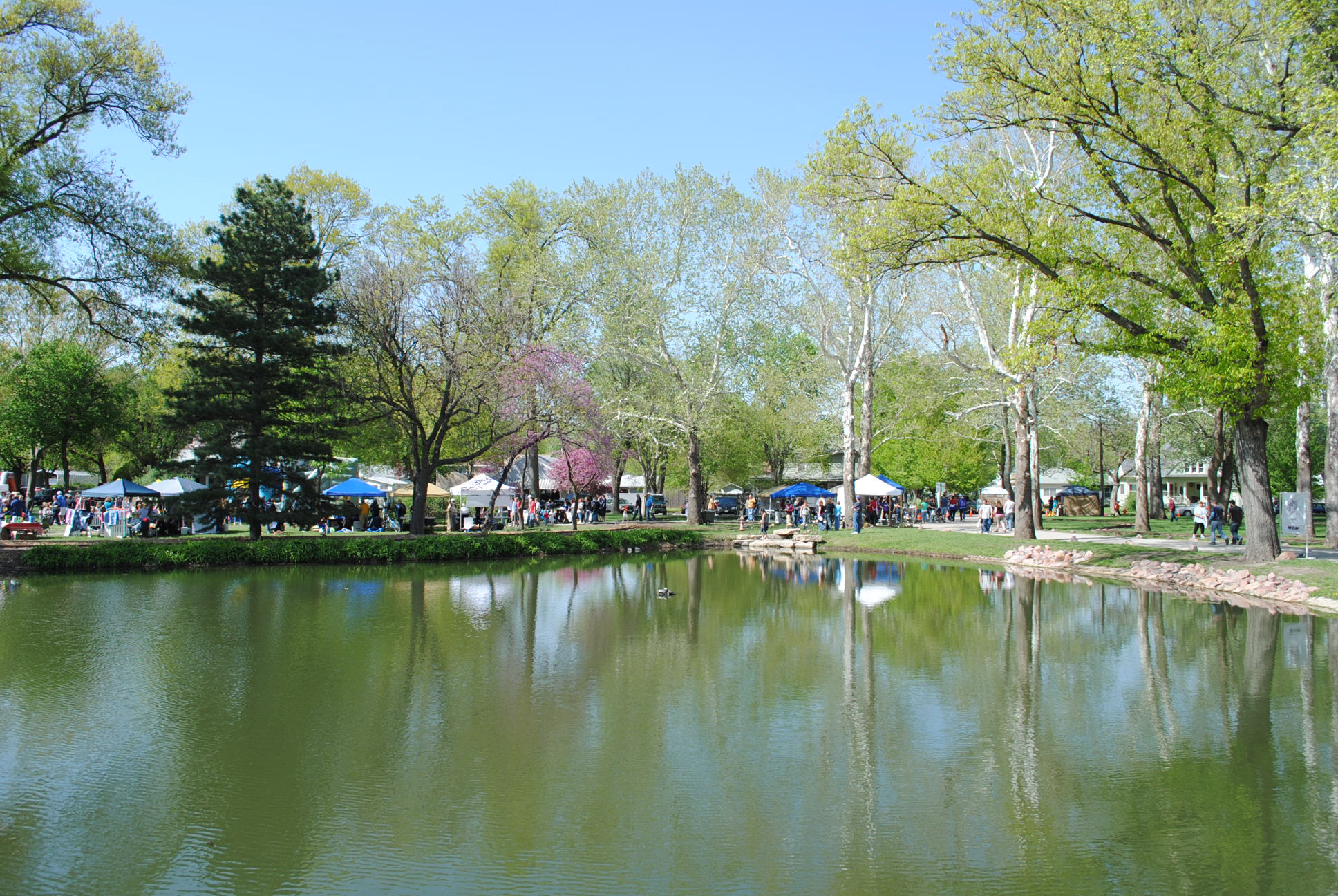
Pano of Pillsbury Crossing Pond
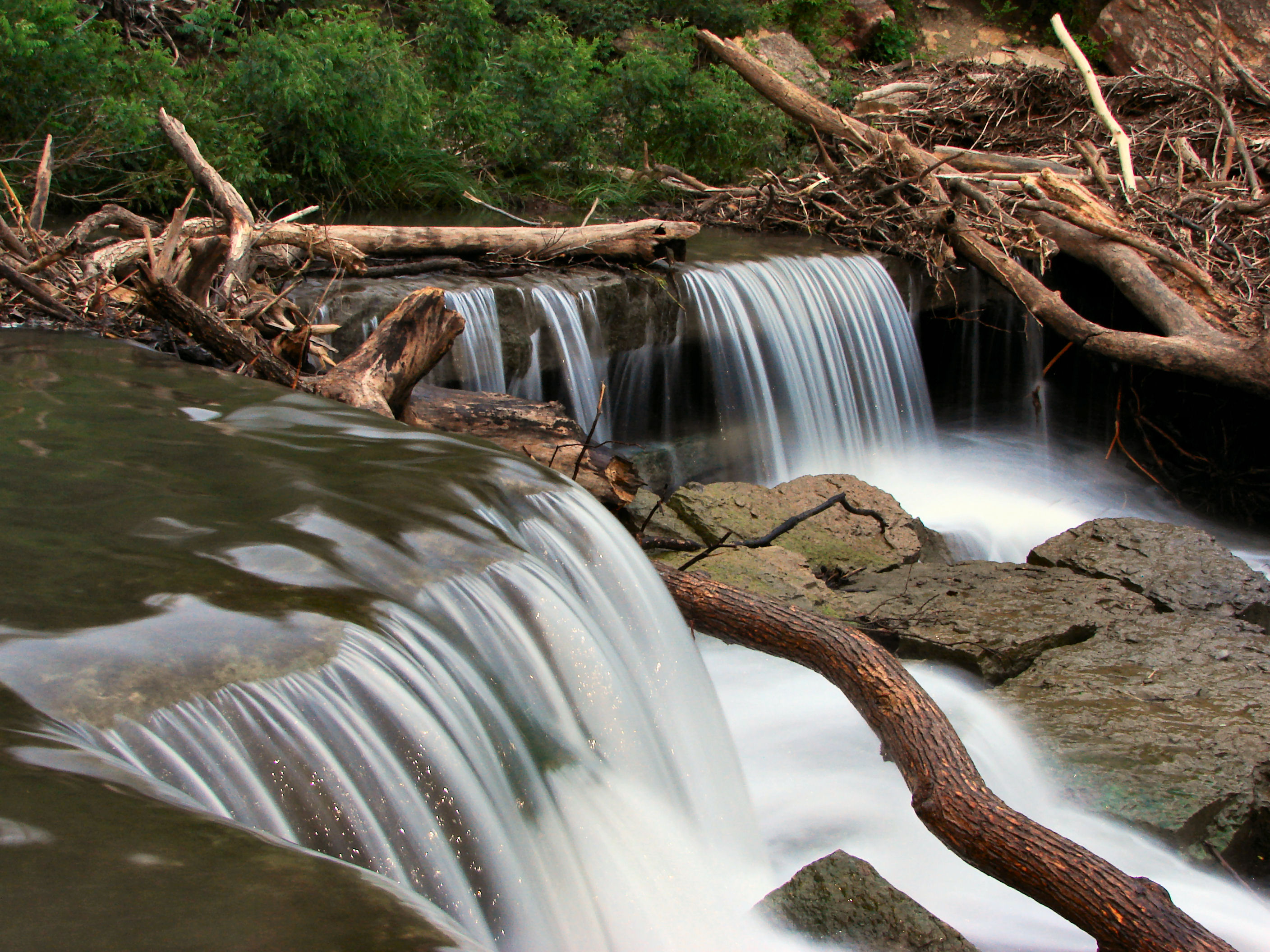
Pillsbury Crossing Waterfall

Conjunction Over the Kaw

The Moon, Venus, Jupiter, and the Kaw on a cold December Night
Room With a View
The Old Dutch Mill at Wamego

All the Bridges are Burning That We Might've Crossed
From the Darkness Rises Beauty
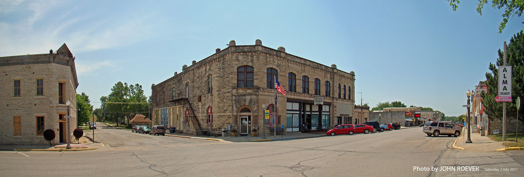
Alma, Panorama, 2 July 2011

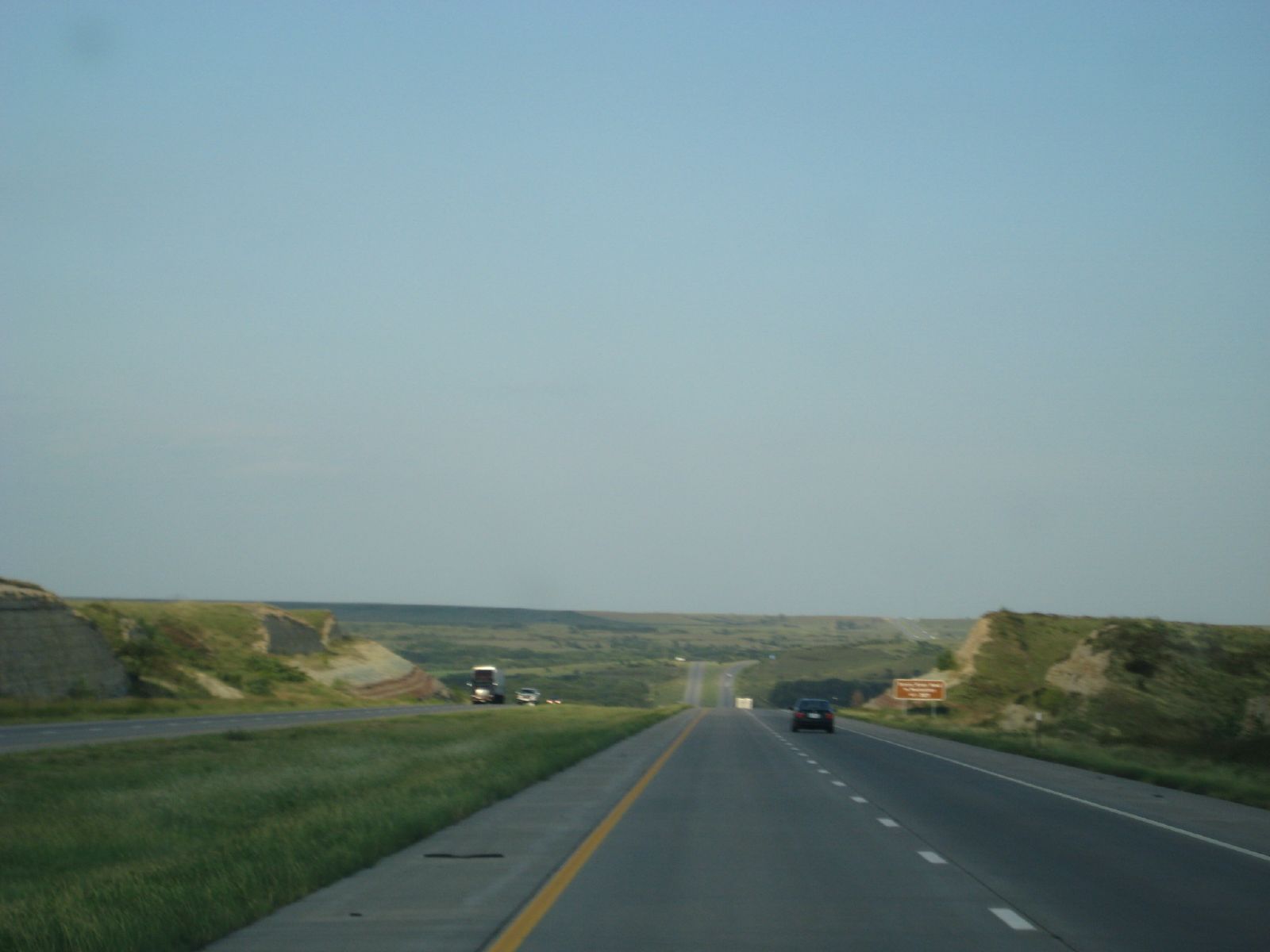
I-70/K-99 interchange, 2 July 2011

View from inside Toto's Tacoz
SAN-NYC (424)
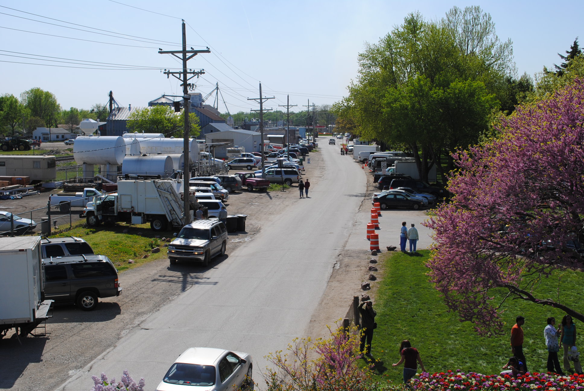
2010_0420 2410.. View from the mill

Kansas River Sunset Pano

Falls at Pillsbury Crossing
Ranch Tracks in the Flint Hills
2010_0420 2389.. Wet basin

Sun It Rises
Design Elements (20)

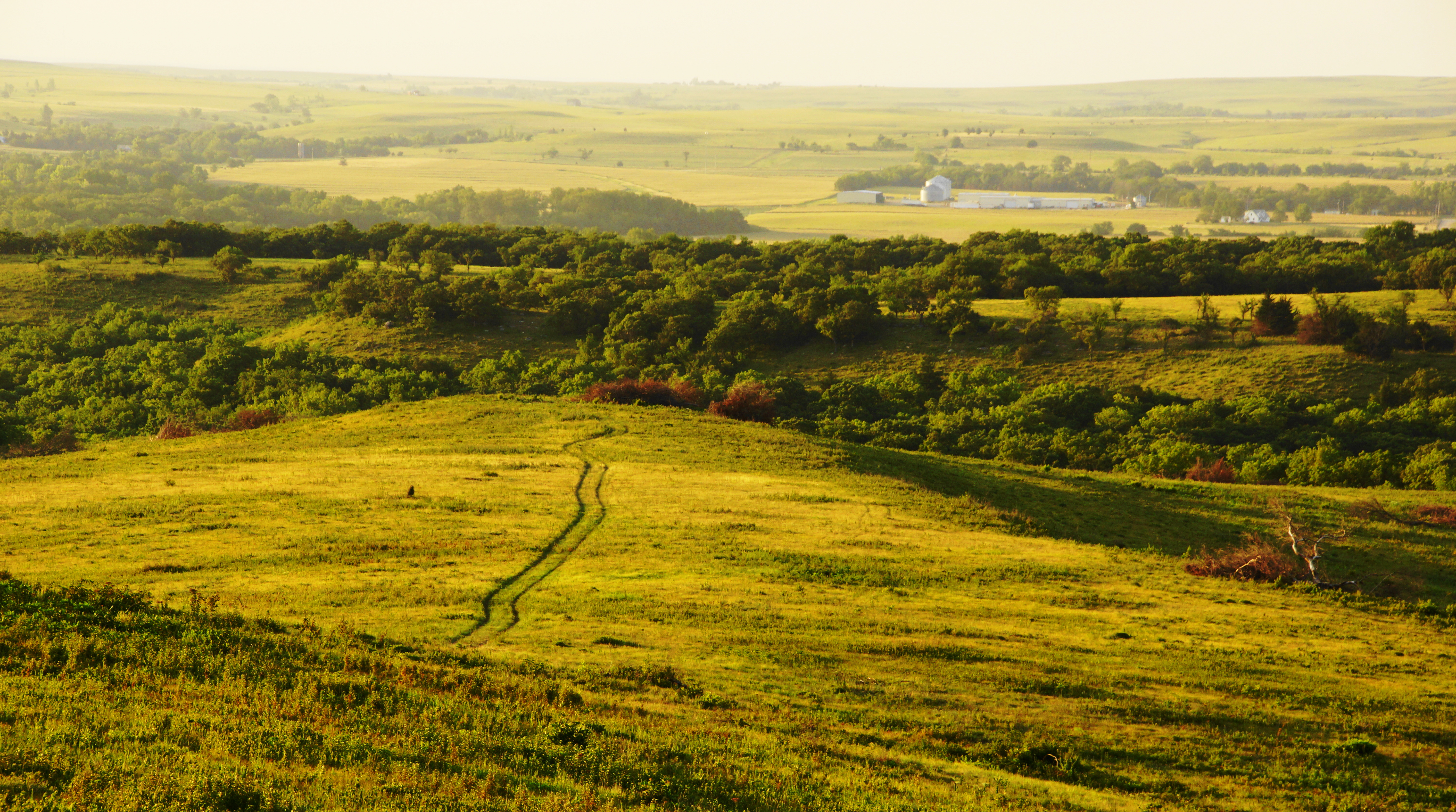
Flint Hills Pastures Panorama

Design Elements (21)

Design Elements (19)
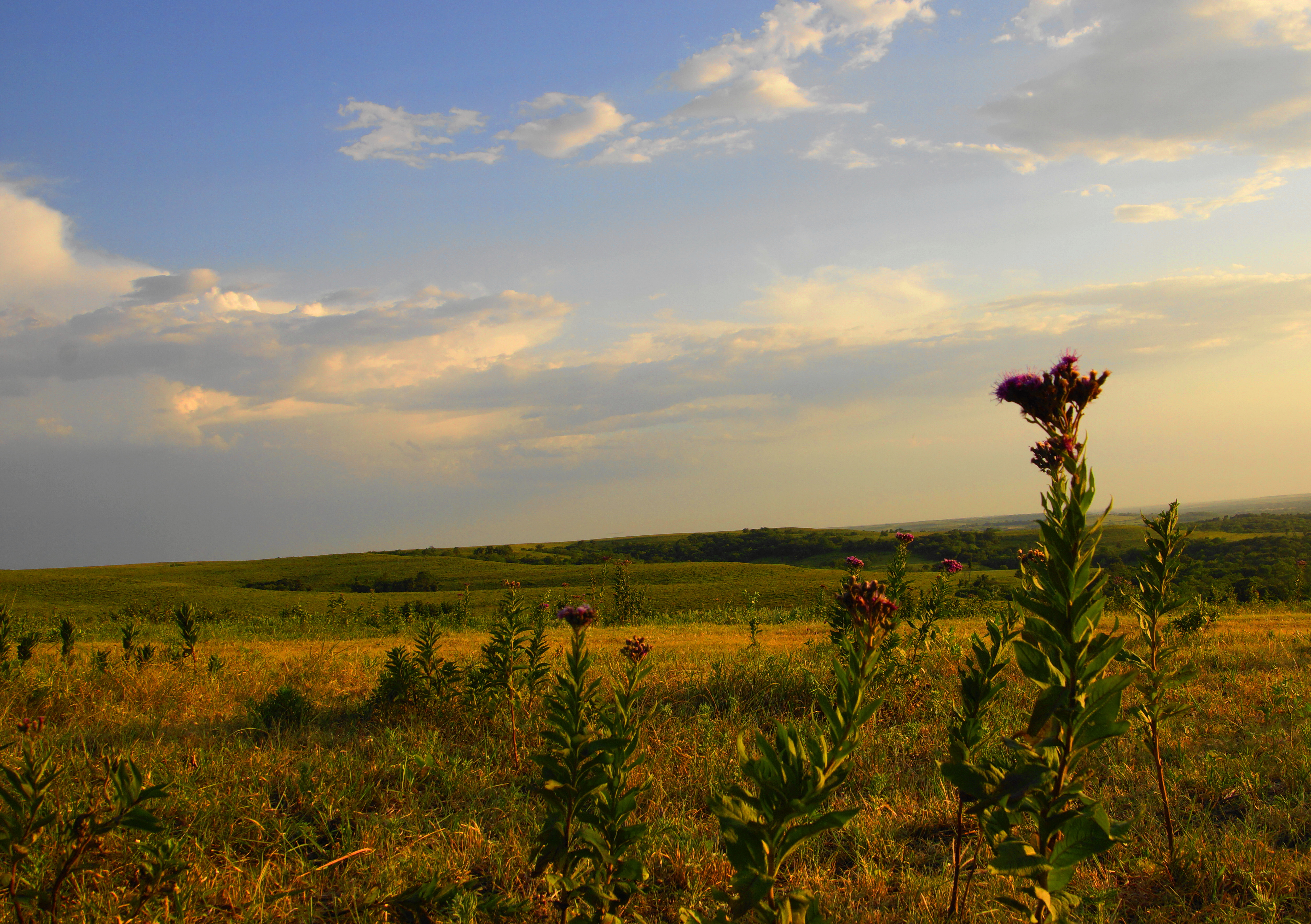
Iron Weed Flower on Skyline Drive

Sunset on the Kansas River

Sioux Quartzite from MN in Kansas
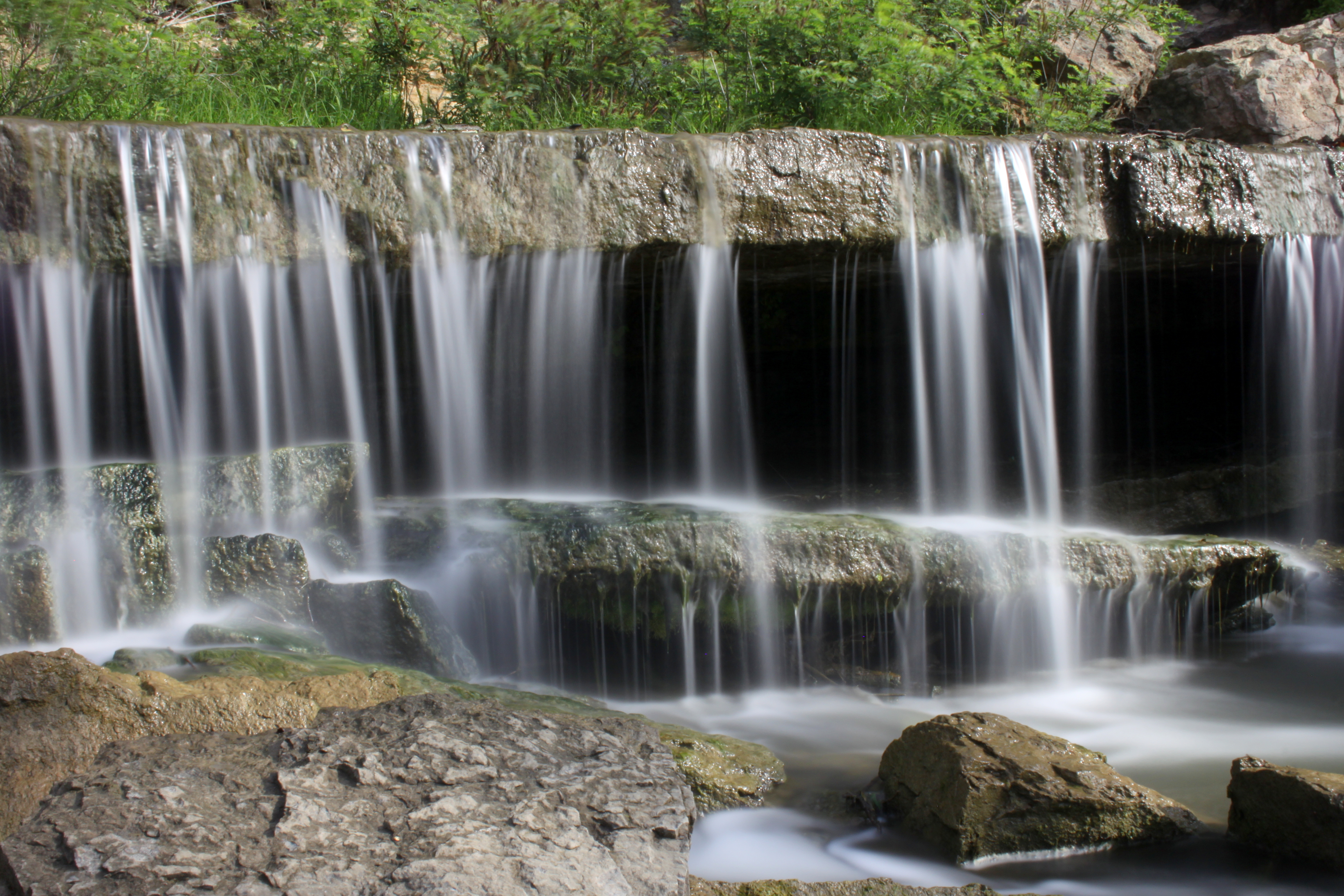
Falls at Pillsbury Crossing

Pano of Pillsbury Crossing Pond

Study in Pillsbury Crossing
pillsbury crossing 3
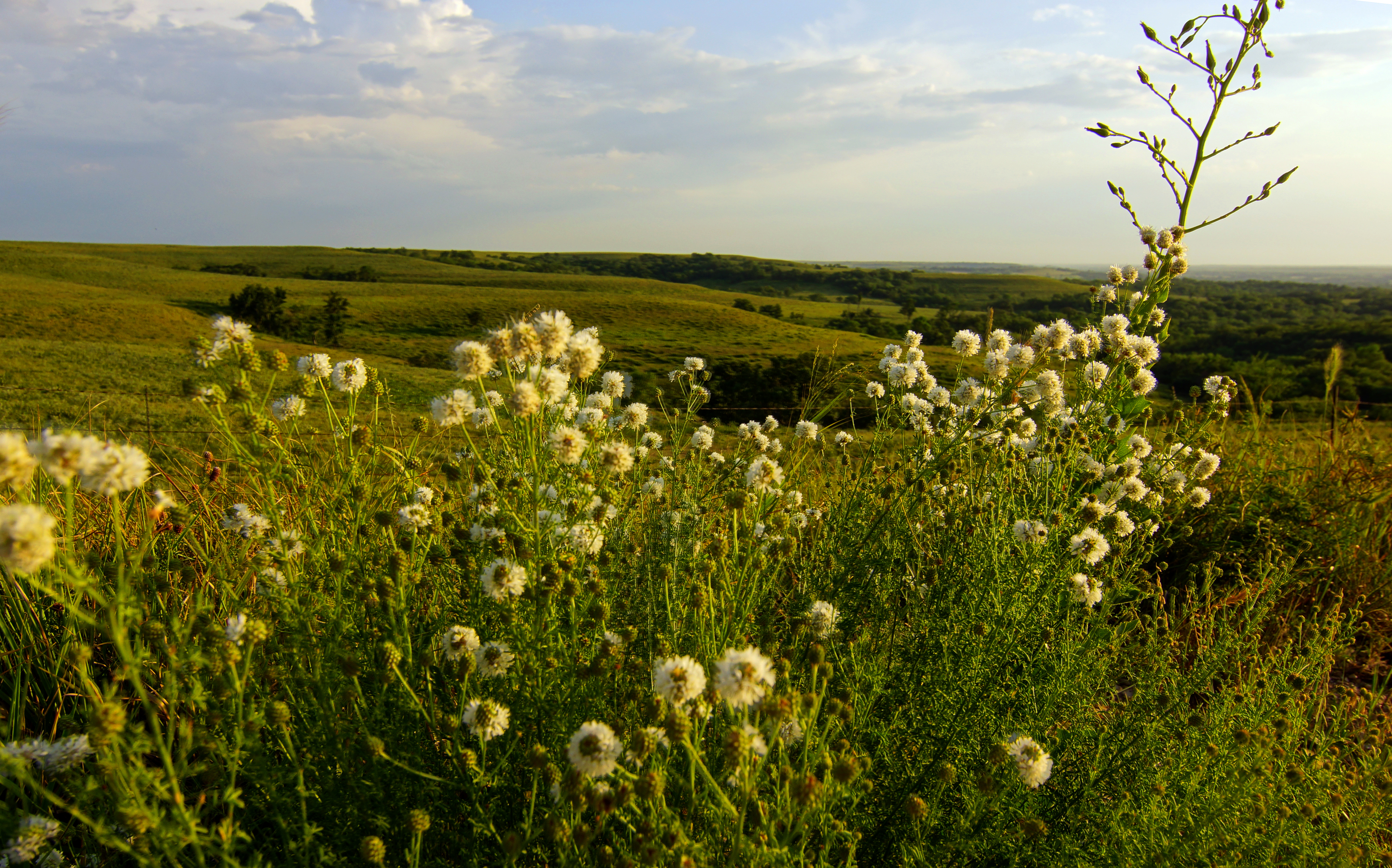
Round Headed Prairie Clover on the Flint Hills
Topographic Map of Chapel St, Wamego, KS, USA
Find elevation by address:

Places near Chapel St, Wamego, KS, USA:
Saint George
Swamp Angel Rd, Manhattan, KS, USA
Chenango St, Manhattan, KS, USA
411 S 5th St
3010 Shane Creek Ln
State Farm: Josh Salmans
Manhattan
3005 Shane Creek Ln
Manhattan
3150 Mcdowell Creek Rd
Kansas State University
1825 Claflin Rd
1015 Sunset Ave
1965 College Heights Rd
Chris Dr, Manhattan, KS, USA
2601 Sumac Dr
The Pointe On College Avenue
2719 Allison Ave
3052 Conrow Dr
Oaktree Place
Recent Searches:
- Elevation of Tenjo, Cundinamarca, Colombia
- Elevation of Côte-des-Neiges, Montreal, QC H4A 3J6, Canada
- Elevation of Bobcat Dr, Helena, MT, USA
- Elevation of Zu den Ihlowbergen, Althüttendorf, Germany
- Elevation of Badaber, Peshawar, Khyber Pakhtunkhwa, Pakistan
- Elevation of SE Heron Loop, Lincoln City, OR, USA
- Elevation of Slanický ostrov, 01 Námestovo, Slovakia
- Elevation of Spaceport America, Co Rd A, Truth or Consequences, NM, USA
- Elevation of Warwick, RI, USA
- Elevation of Fern Rd, Whitmore, CA, USA