Elevation of Wabaunsee, KS, USA
Location: United States > Kansas > Wabaunsee County >
Longitude: -96.301343
Latitude: 39.1297895
Elevation: 329m / 1079feet
Barometric Pressure: 97KPa
Elevation Map:
Satellite Map:
Related Photos:

Conjunction Over the Kaw

The Moon, Venus, Jupiter, and the Kaw on a cold December Night
Room With a View
The Old Dutch Mill at Wamego

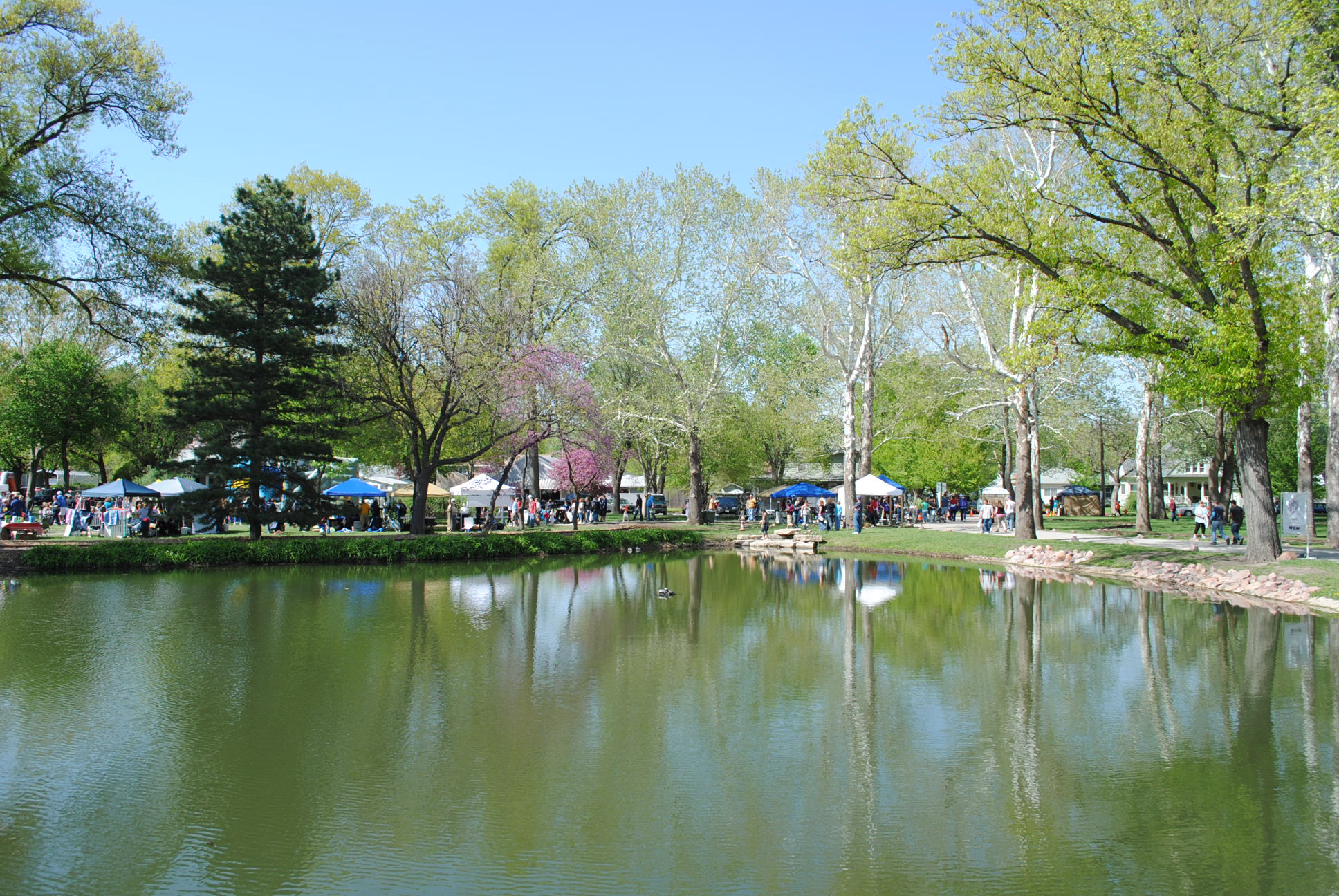
Pano of Pillsbury Crossing Pond
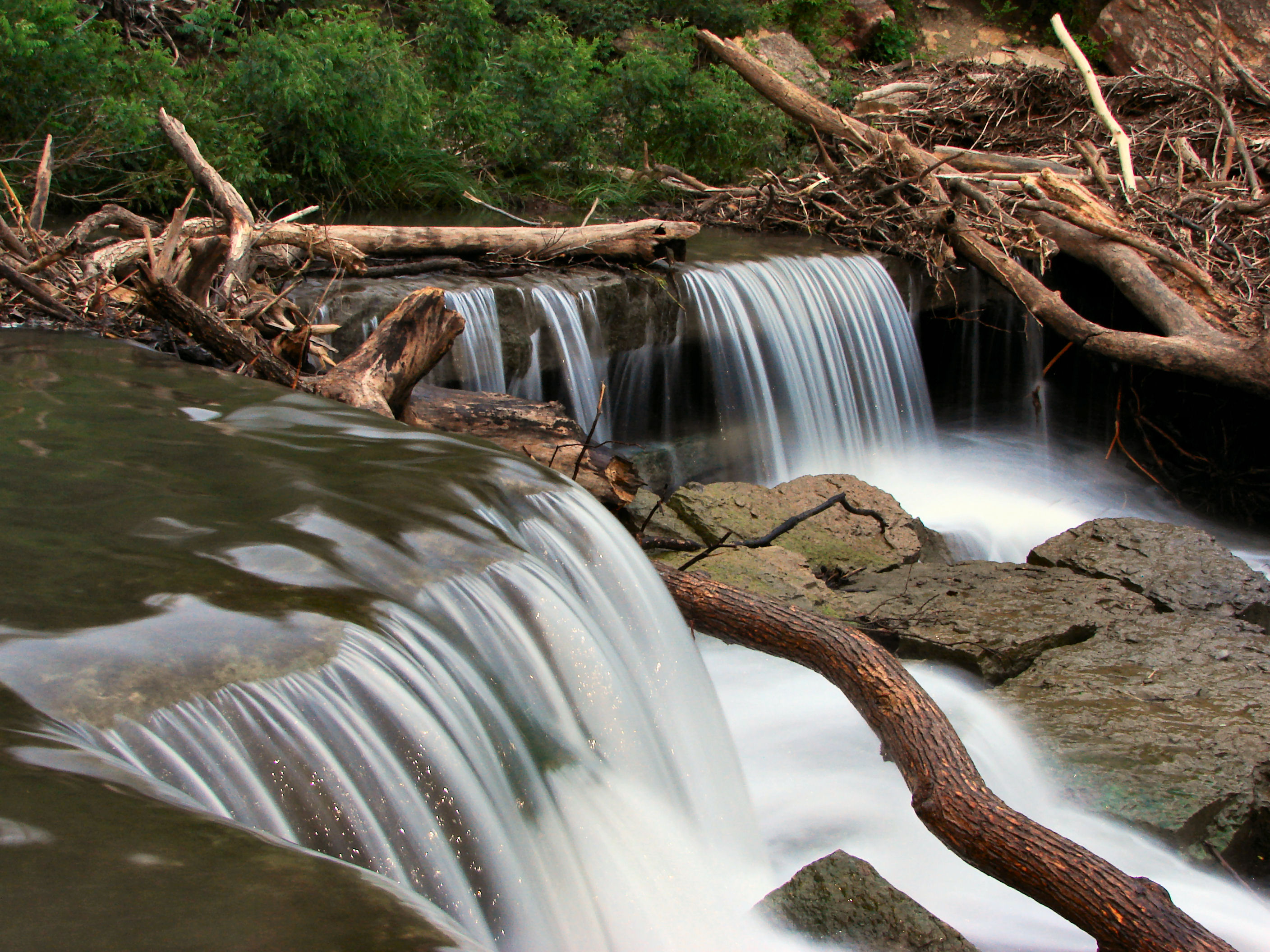
Pillsbury Crossing Waterfall

All the Bridges are Burning That We Might've Crossed
From the Darkness Rises Beauty
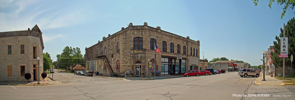
Alma, Panorama, 2 July 2011

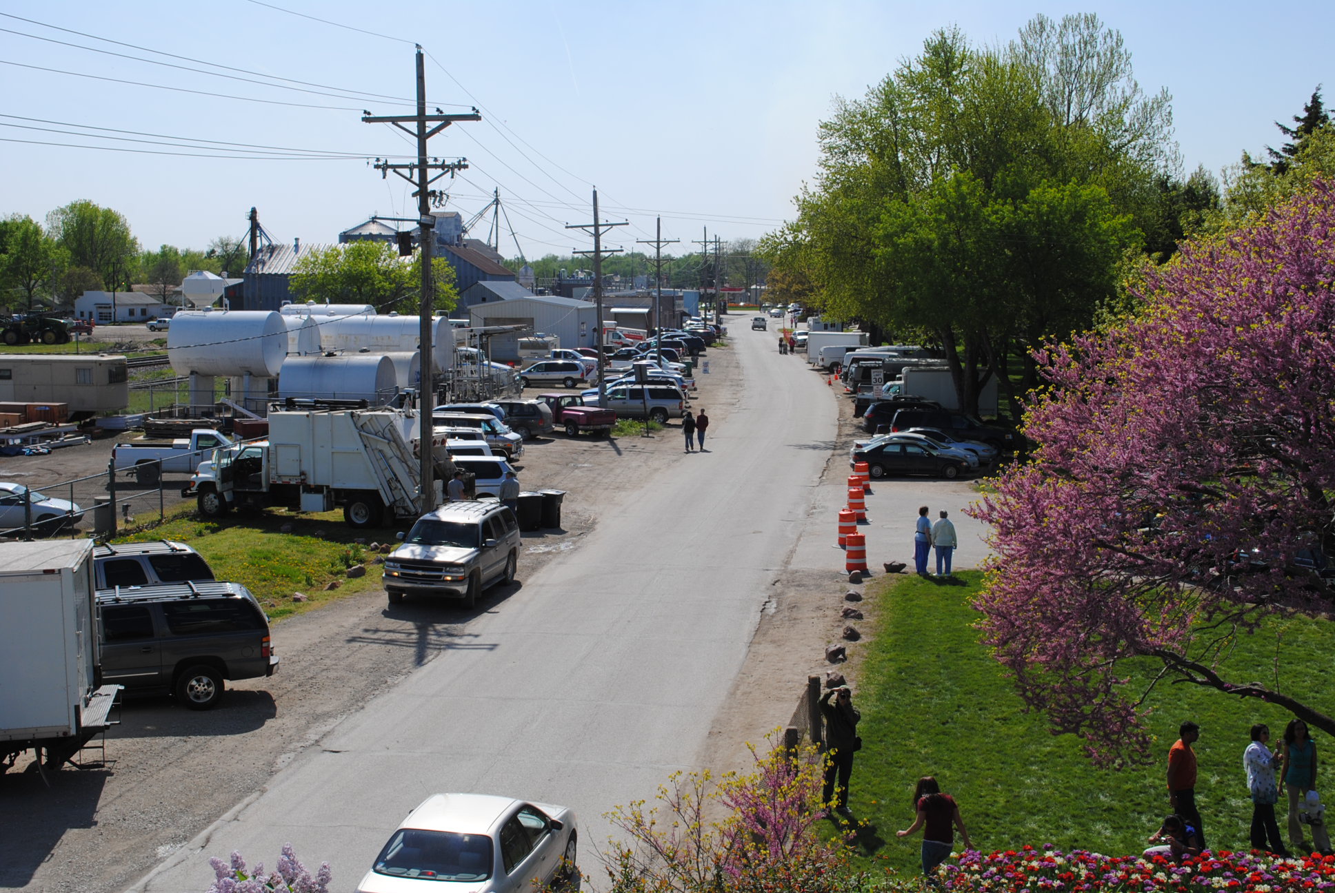
I-70/K-99 interchange, 2 July 2011

View from inside Toto's Tacoz
2010_0420 2410.. View from the mill

View of Jeffrey Energy Center, 31 Mar 2015

Old Bicycles
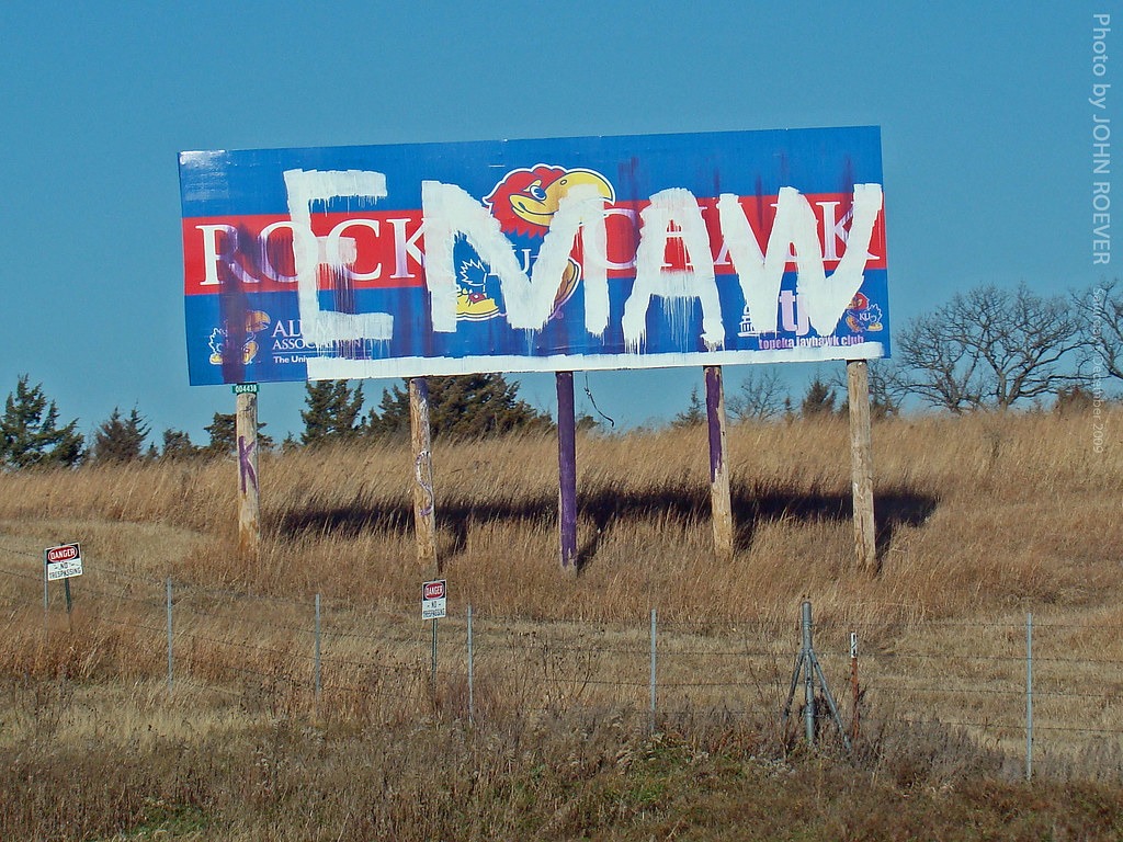
"EMAW" on a KU sign on I-70, 5 Dec 2009
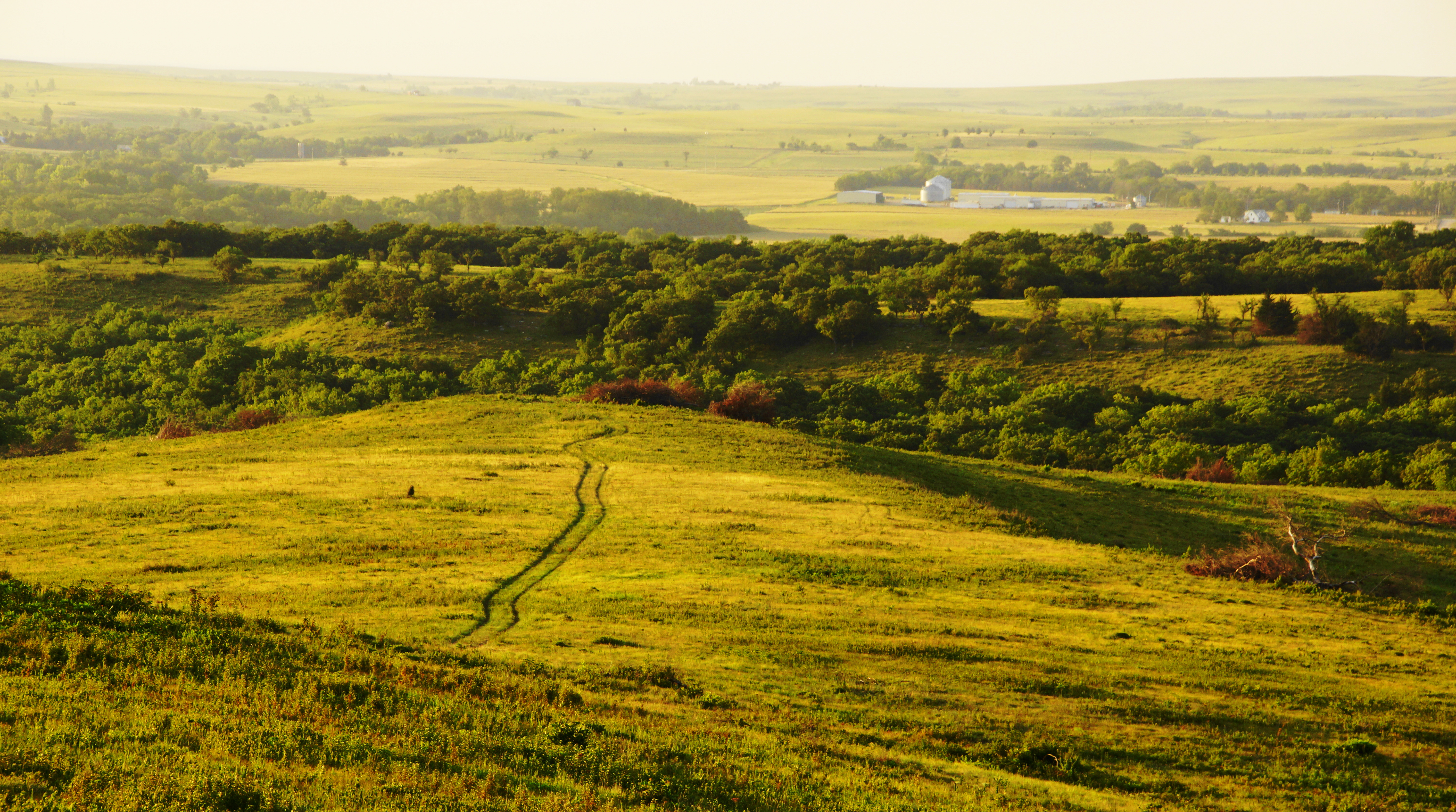
Ranch Tracks in the Flint Hills
2010_0420 2389.. Wet basin
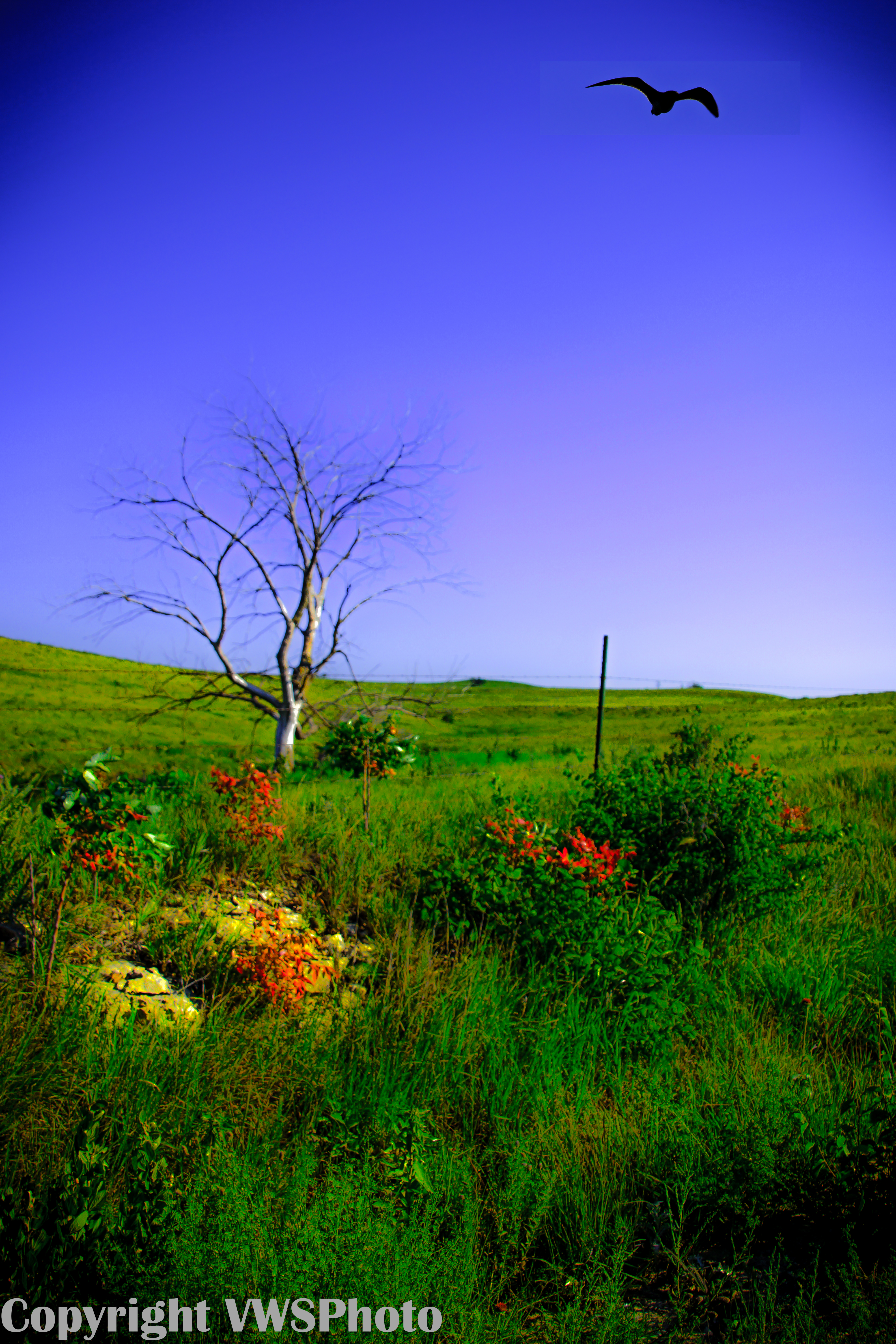
Kestrel on the Flint Hills

Sun It Rises
Evening Storm Skyline Drive

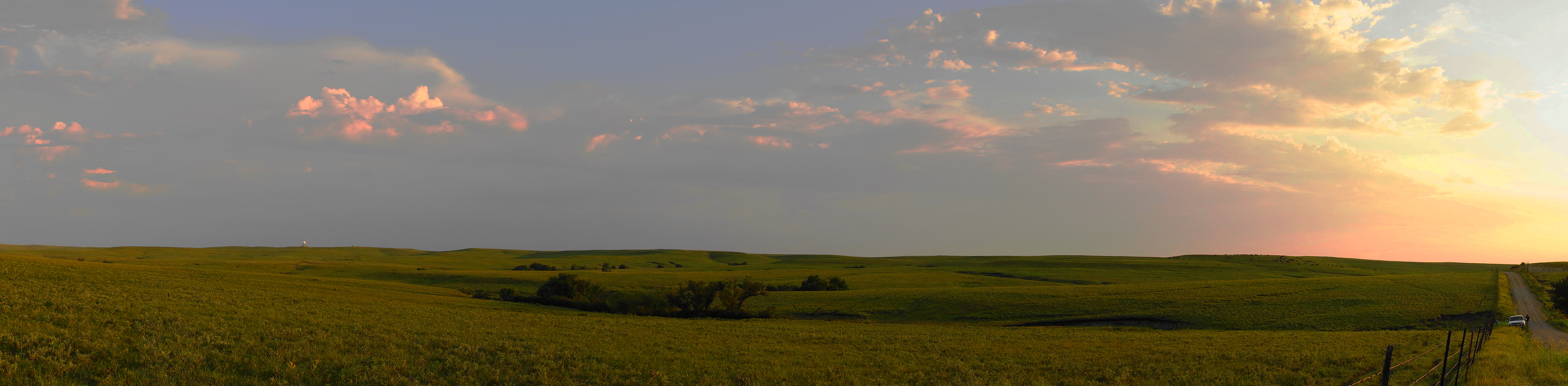
Flint Hills Pastures Panorama
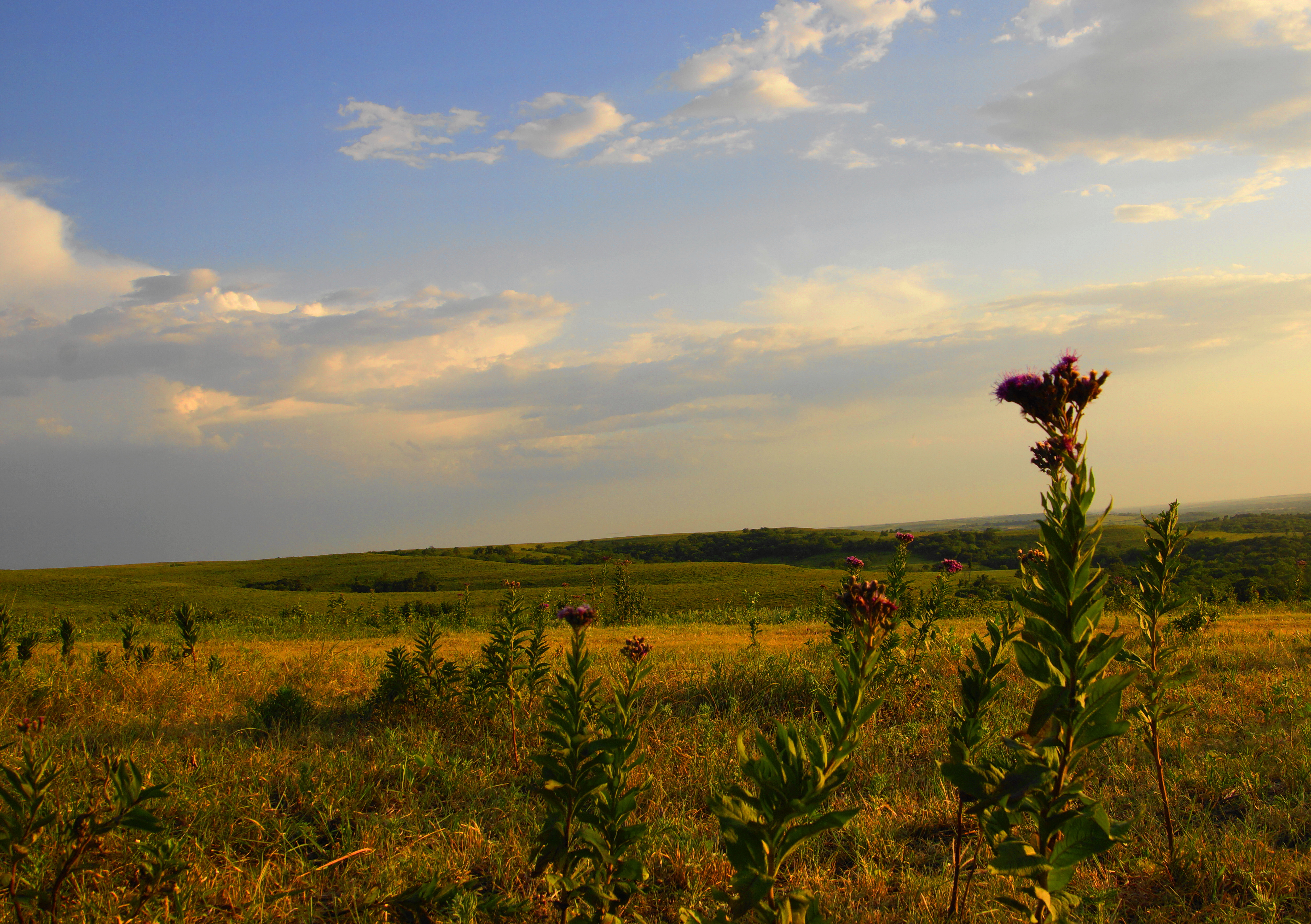
Iron Weed Flower on Skyline Drive

Sunset on the Kansas River

Sioux Quartzite from MN in Kansas

Kansas River Sunset Pano
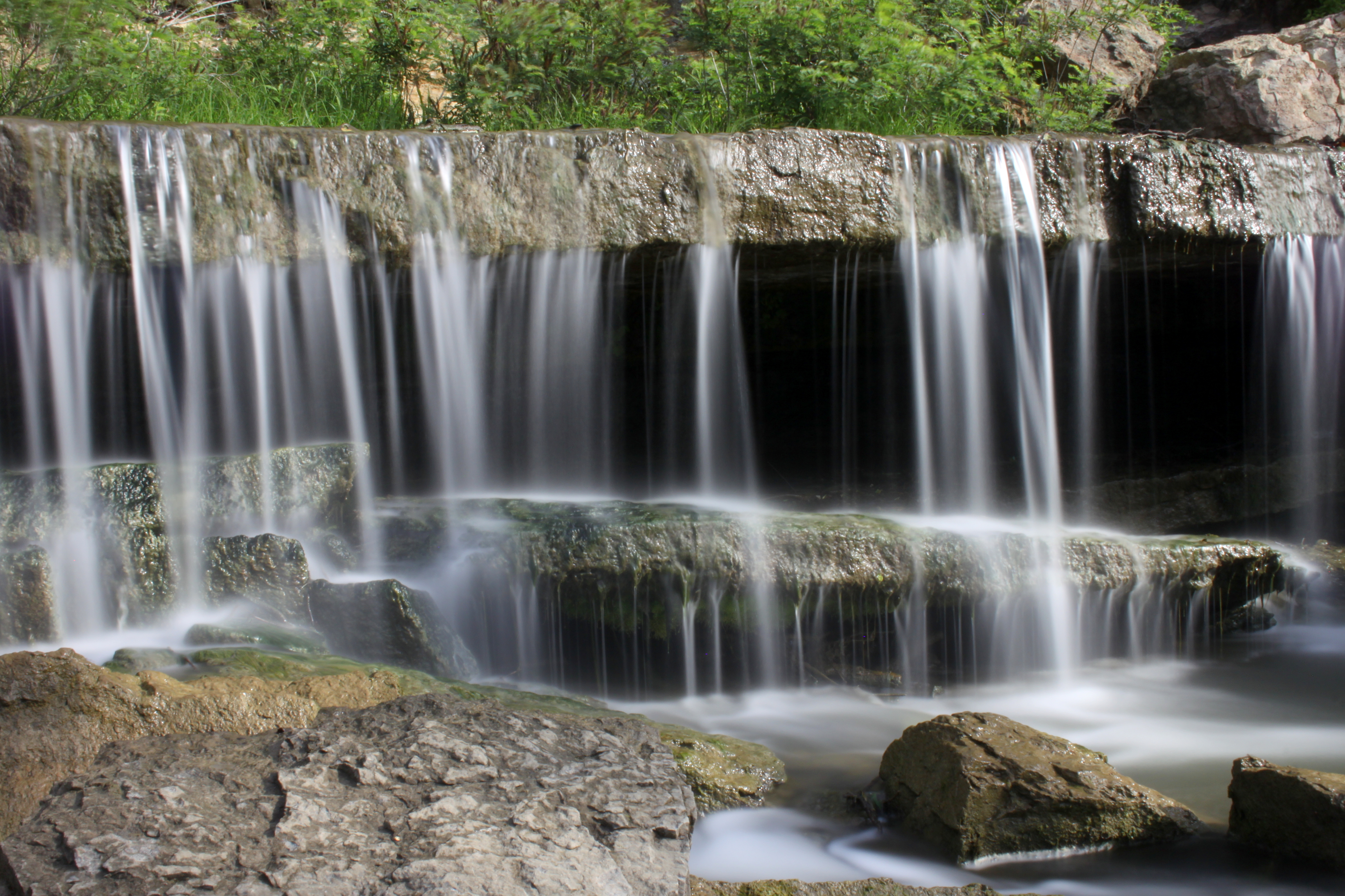
Falls at Pillsbury Crossing

Pano of Pillsbury Crossing Pond

Study in Pillsbury Crossing

Falls at Pillsbury Crossing
pillsbury crossing 3
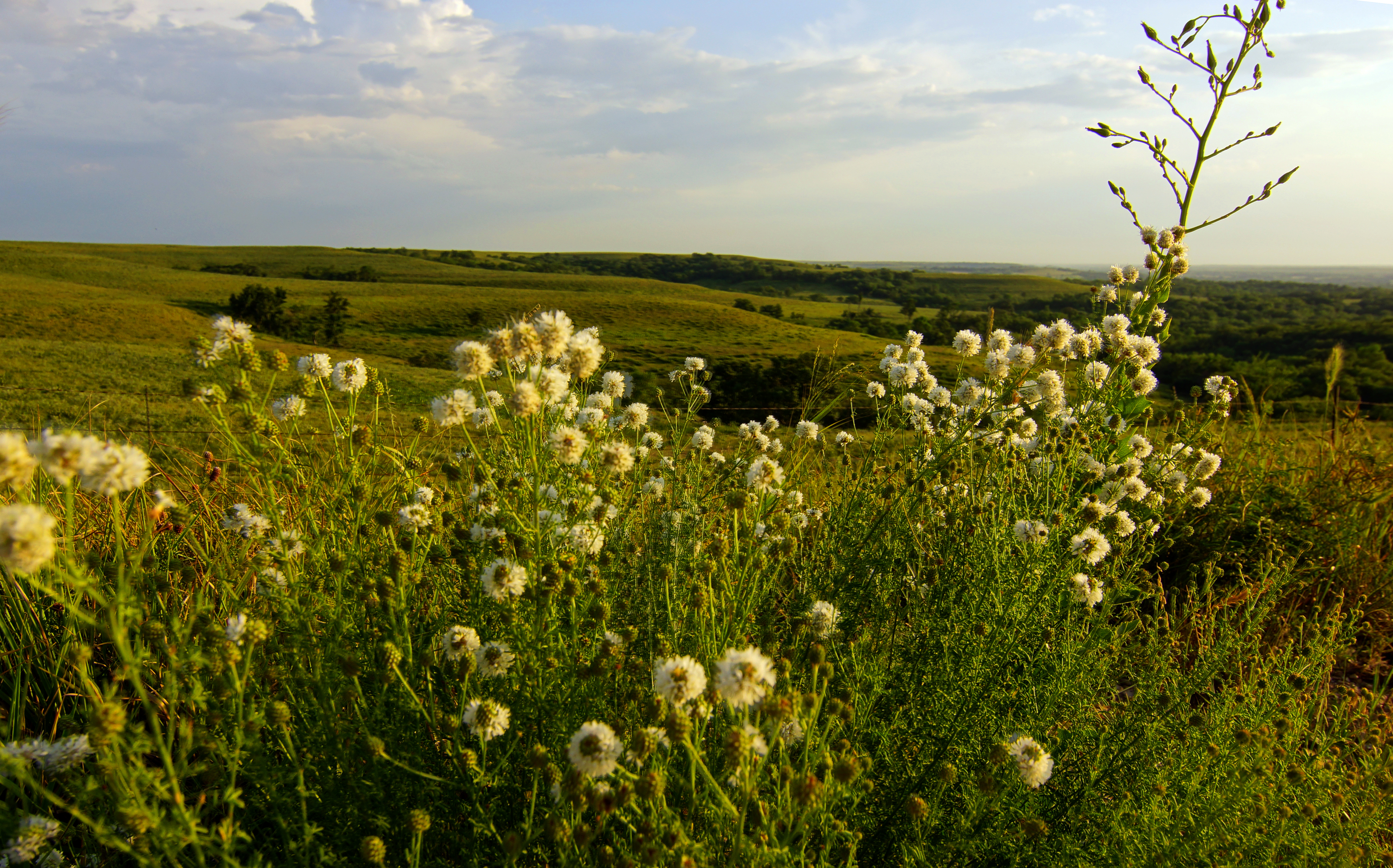
Round Headed Prairie Clover on the Flint Hills

Along Skyline Road
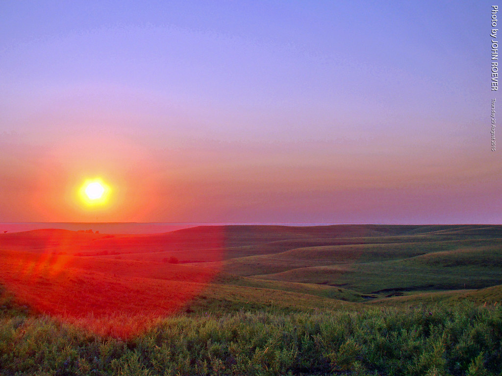
Before Sunset in the Flint Hills, 20 Aug 2015
Topographic Map of Wabaunsee, KS, USA
Find elevation by address:

Places in Wabaunsee, KS, USA:
Places near Wabaunsee, KS, USA:
Mount Mitchell Road
Chapel St, Wamego, KS, USA
Wamego
KS-99, Wamego, KS, USA
2200 Country Club Dr
Wamego
2005 Henry Dr
16075 6th Street Rd
1305 18th St
Mt Calvary Lutheran Church
Alma
Alma
St. George
Louisville
113 Hickory St
Saint George
Louisville
Newbury
Paxico
Belvue
Recent Searches:
- Elevation of Elk City, OK, USA
- Elevation of Erika Dr, Windsor, CA, USA
- Elevation of Village Ln, Finleyville, PA, USA
- Elevation of 24 Oakland Rd #, Scotland, ON N0E 1R0, Canada
- Elevation of Deep Gap Farm Rd E, Mill Spring, NC, USA
- Elevation of Dog Leg Dr, Minden, NV, USA
- Elevation of Dog Leg Dr, Minden, NV, USA
- Elevation of Kambingan Sa Pansol Atbp., Purok 7 Pansol, Candaba, Pampanga, Philippines
- Elevation of Pinewood Dr, New Bern, NC, USA
- Elevation of Mountain View, CA, USA