Elevation of Mount Mitchell Road, Mt Mitchell Rd, Wamego, KS, USA
Location: United States > Kansas > Wabaunsee County > Wabaunsee >
Longitude: -96.291624
Latitude: 39.1521202
Elevation: 317m / 1040feet
Barometric Pressure: 98KPa
Elevation Map:
Satellite Map:
Related Photos:
I-70 Traffic after sunset (10 sec), 4 May 2017
Pillsbury Crossing Waterfall

Old Bicycles
The Old Dutch Mill at Wamego
"EMAW" on a KU sign on I-70, 5 Dec 2009
From the Darkness Rises Beauty

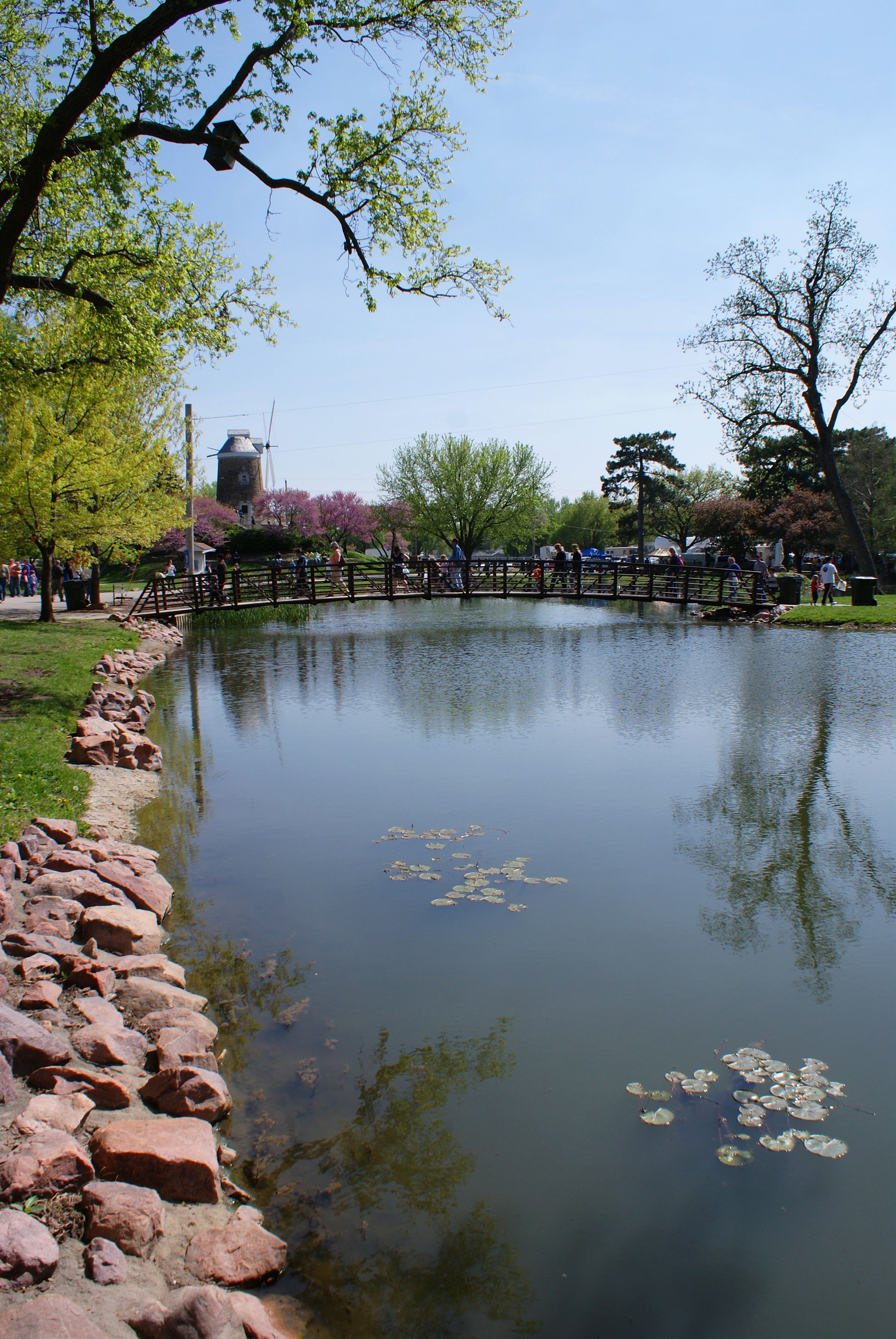
Pano of Pillsbury Crossing Pond
Alma, Panorama, 2 July 2011

View from inside Toto's Tacoz
2010_0420 2410.. View from the mill

I-70/K-99 interchange, 2 July 2011

What I always imagined Kansas should look like #kansas #eclipse #roadtrip #stormy #wizardofoz #eclipse2017
Falls at Pillsbury Crossing
dutch mill 1
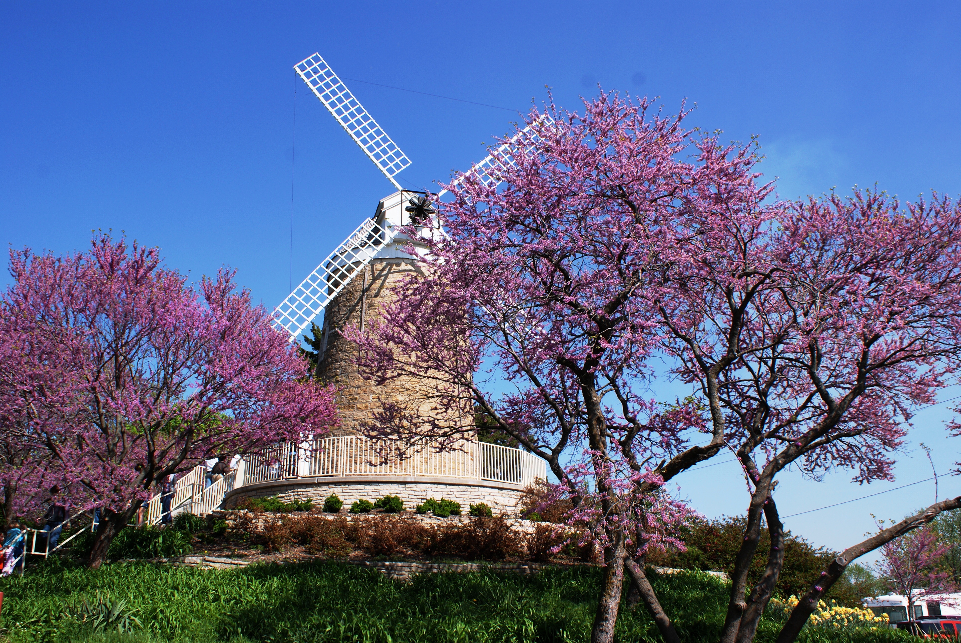
dutch mill 2
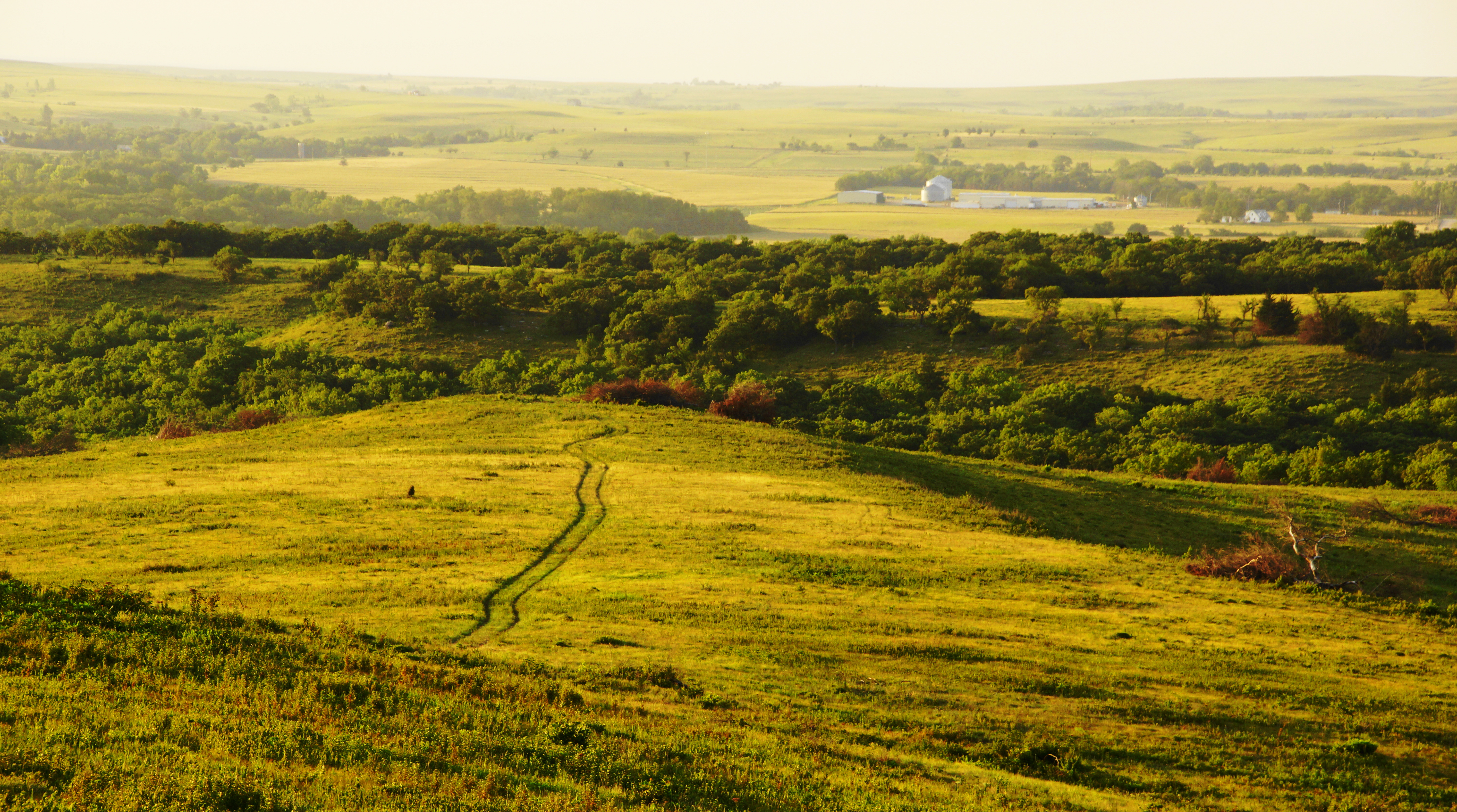
Ranch Tracks in the Flint Hills
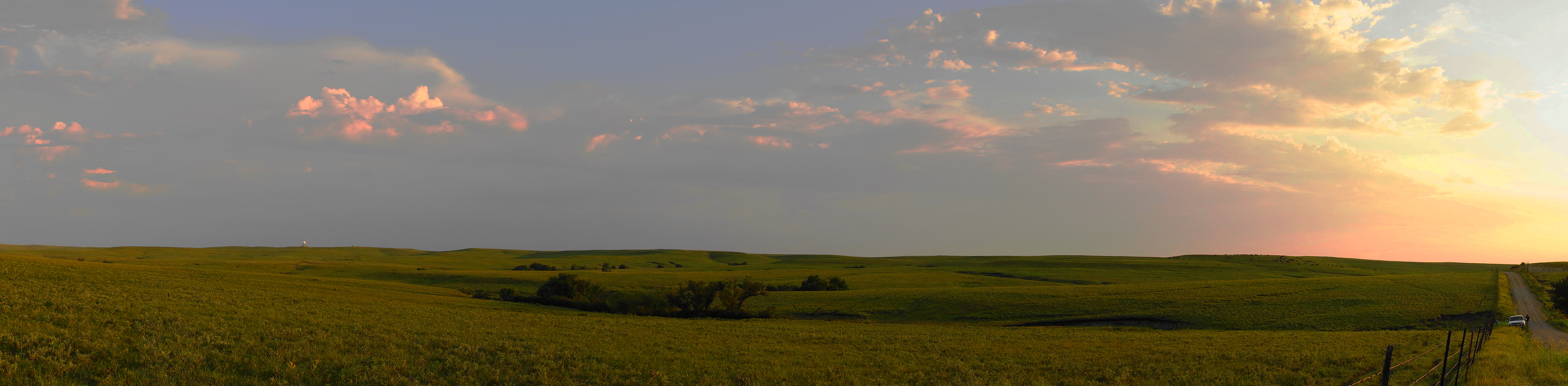
Evening Storm Skyline Drive

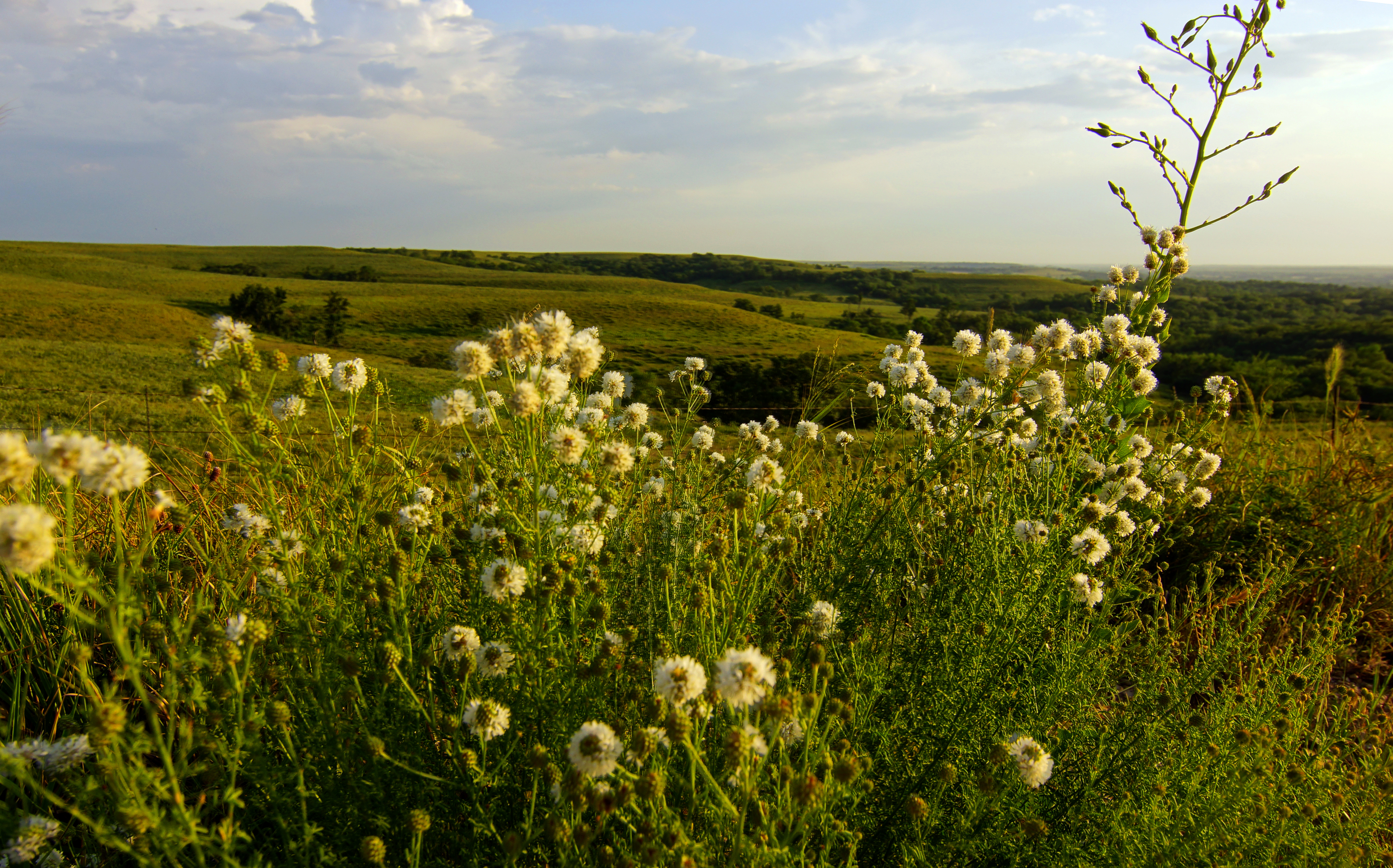
Flint Hills Pastures Panorama
Design Elements (20)
Round Headed Prairie Clover on the Flint Hills

Design Elements (19)
Design Elements (21)
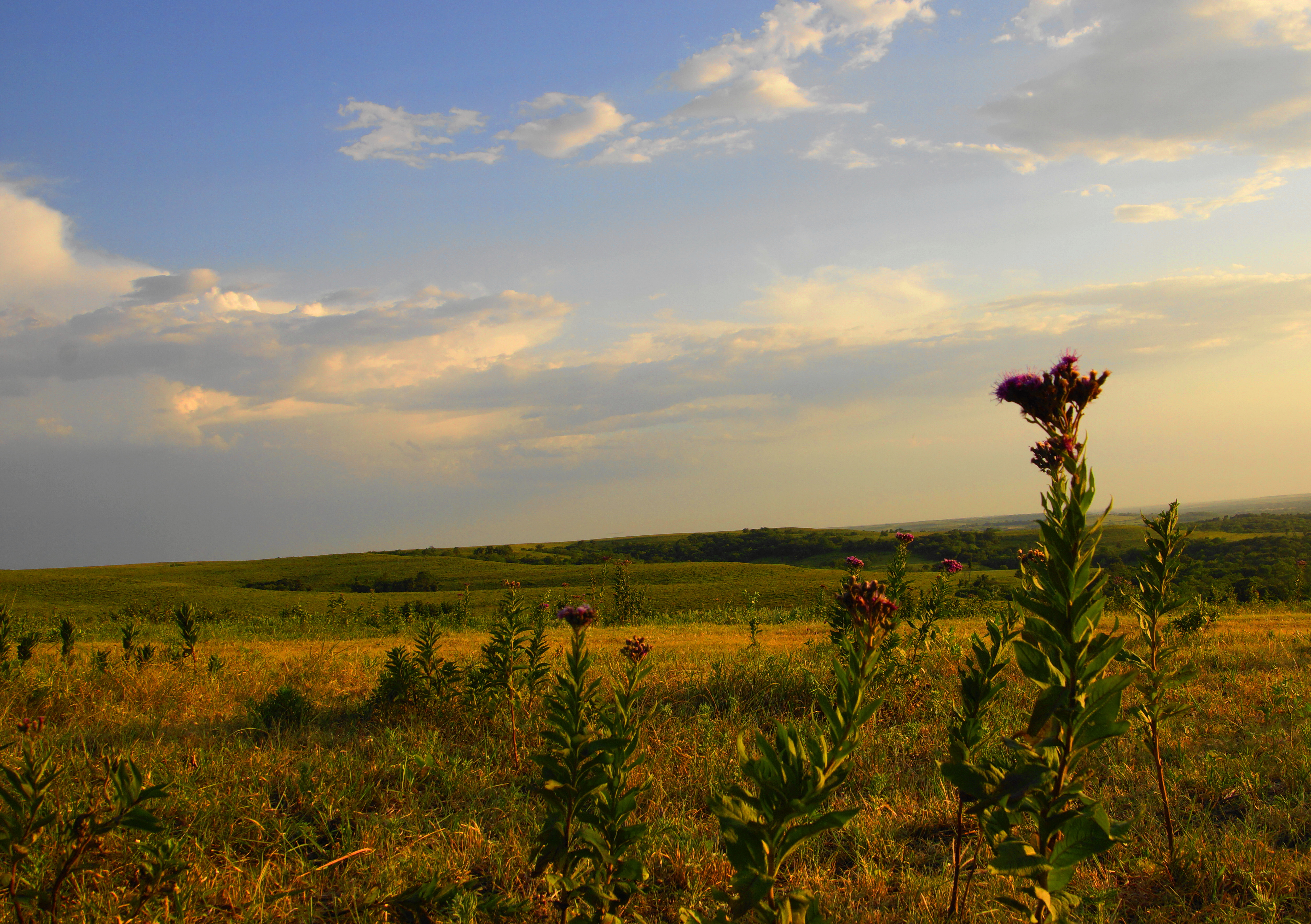
Iron Weed Flower on Skyline Drive
Pillsbury Crossing After a Hard Rain

Pano of Pillsbury Crossing Pond
Breaking Light

2010_0420 2211.. Fiery tulips
Tulip Festival 473
Pillsbury Crossing
2010_0420 2208.. Time for a tulip festival
Topographic Map of Mount Mitchell Road, Mt Mitchell Rd, Wamego, KS, USA
Find elevation by address:

Places near Mount Mitchell Road, Mt Mitchell Rd, Wamego, KS, USA:
Wabaunsee
Wamego
KS-99, Wamego, KS, USA
Chapel St, Wamego, KS, USA
Wamego
2200 Country Club Dr
2005 Henry Dr
1305 18th St
Mt Calvary Lutheran Church
16075 6th Street Rd
Louisville
113 Hickory St
St. George
Louisville
Belvue
Broadway St, Belvue, KS, USA
Saint George
Alma
Alma
Paxico
Recent Searches:
- Elevation of Doe Cir, Clinton, OH, USA
- Elevation of Narhe, Pune, Maharashtra, India
- Elevation of Martins Mill Ct, Eagle Rock, NC, USA
- Elevation of Kippen, Stirling FK8, UK
- Elevation of Sieveringer Straße, Sieveringer Str., Wien, Austria
- Elevation of Bratskaya Ulitsa, 24, Kurgan, Kurganskaya oblast', Russia
- Elevation of Paradisvegen, Biri, Norway
- Elevation of Crystal Cir, Birmingham, AL, USA
- Elevation of N Railroad Ave, West Palm Beach, FL, USA
- Elevation of 55 Cassick Valley Rd, Wellfleet, MA, USA