Elevation of W Pine St, Lead Hill, AR, USA
Location: United States > Arkansas > Boone County > Sugar Loaf Township > Lead Hill >
Longitude: -92.919461
Latitude: 36.451439
Elevation: -10000m / -32808feet
Barometric Pressure: 295KPa
Elevation Map:
Satellite Map:
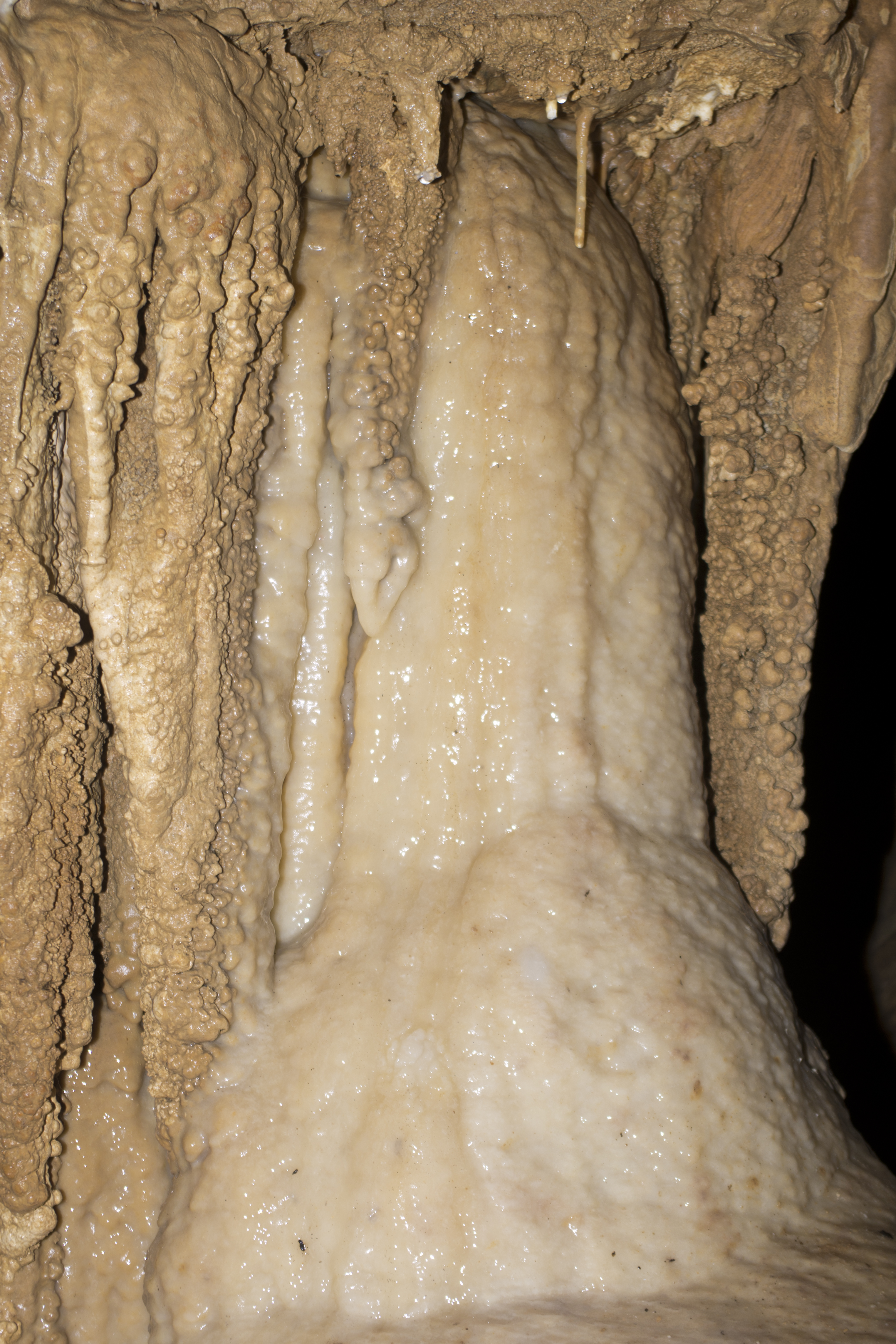
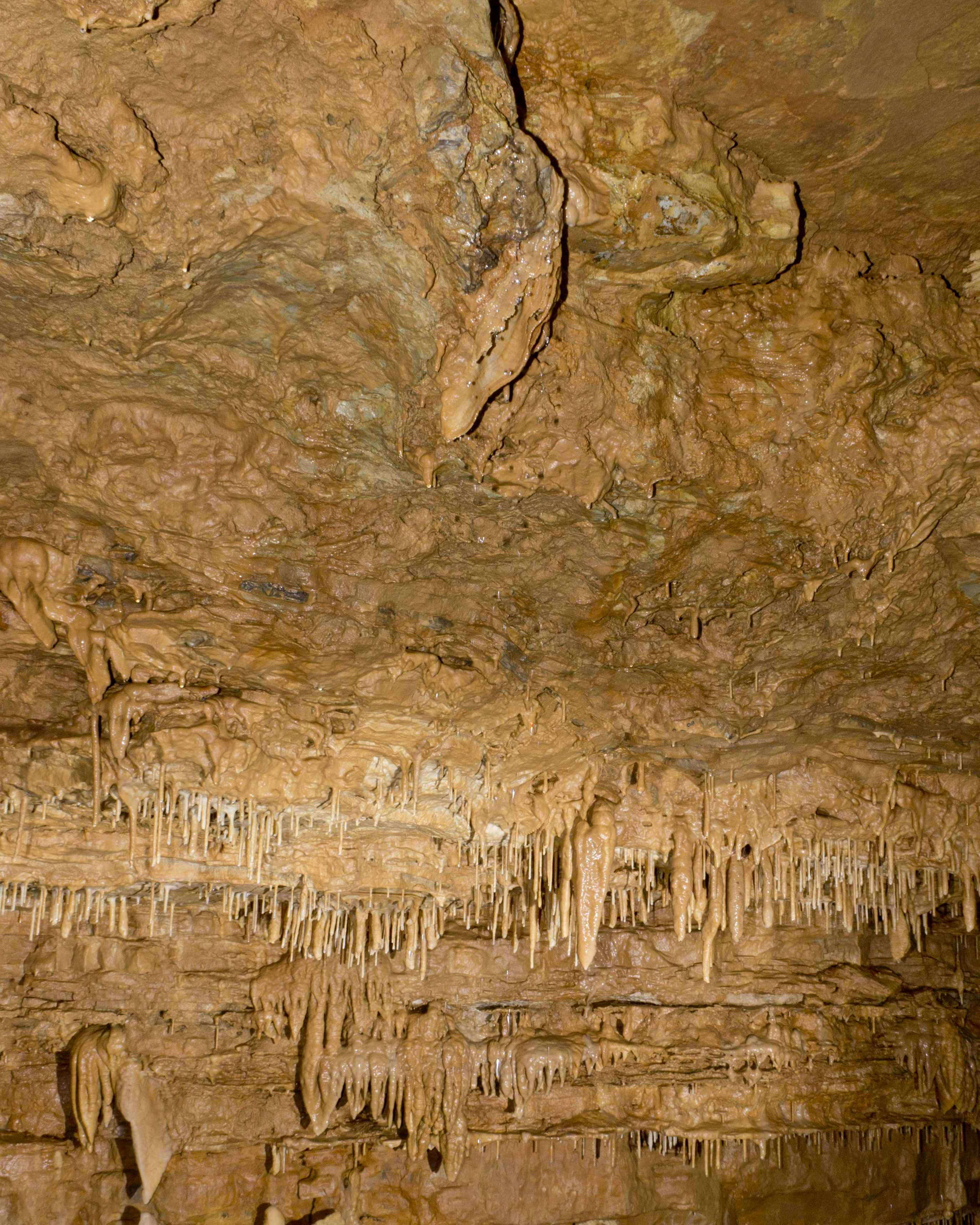
Related Photos:

Bailey residence

Final approach

DJT_1881

DJT_1283

IMGP1335

IMG_4337

DJT_1184

DJT_1215
DJT_1167

DJT_1306

DJT_1082

IMG_4261

DJT_1353

DJT_1248

DJT_1250

DJT_0994

DJT_1044

DJT_1252

DJT_1363

DJT_1258

DJT_1110

DJT_0941
DJT_1075
Topographic Map of W Pine St, Lead Hill, AR, USA
Find elevation by address:

Places near W Pine St, Lead Hill, AR, USA:
Lead Hill
AR-14, Lead Hill, AR, USA
Sugar Loaf Township
Protem
Downes Rd E, Lead Hill, AR, USA
2904 Moark Rd
AR-14, Yellville, AR, USA
745 Lazy Acres Rd
379 Ar-14
Sugarloaf Township
353 State Hwy Oo
Ricks Drive
4799 Tar Kiln Rd E
4799 Tar Kiln Rd E
Cedar Creek Township
Big Creek Township
2376 New Test Church Dr
Minnow Dr W, Omaha, AR, USA
Elixir Township
Zinc Township
Recent Searches:
- Elevation of SW 57th Ave, Portland, OR, USA
- Elevation of Crocker Dr, Vacaville, CA, USA
- Elevation of Pu Ngaol Community Meeting Hall, HWHM+3X7, Krong Saen Monourom, Cambodia
- Elevation of Royal Ontario Museum, Queens Park, Toronto, ON M5S 2C6, Canada
- Elevation of Groblershoop, South Africa
- Elevation of Power Generation Enterprises | Industrial Diesel Generators, Oak Ave, Canyon Country, CA, USA
- Elevation of Chesaw Rd, Oroville, WA, USA
- Elevation of N, Mt Pleasant, UT, USA
- Elevation of 6 Rue Jules Ferry, Beausoleil, France
- Elevation of Sattva Horizon, 4JC6+G9P, Vinayak Nagar, Kattigenahalli, Bengaluru, Karnataka, India