Elevation of State Hwy OO, Cedarcreek, MO, USA
Location: United States > Missouri > Taney County > Cedar Creek Township > Cedarcreek >
Longitude: -92.989707
Latitude: 36.546012
Elevation: 306m / 1004feet
Barometric Pressure: 98KPa
Elevation Map:
Satellite Map:
Related Photos:
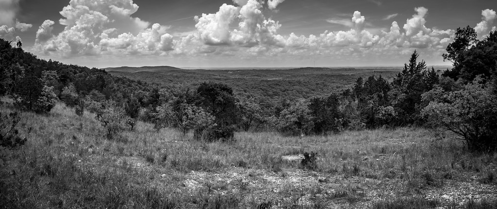
View to the South
View to the South
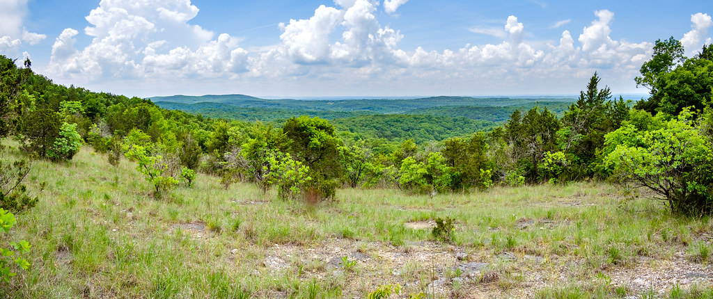
A Popular Spot
near Branson
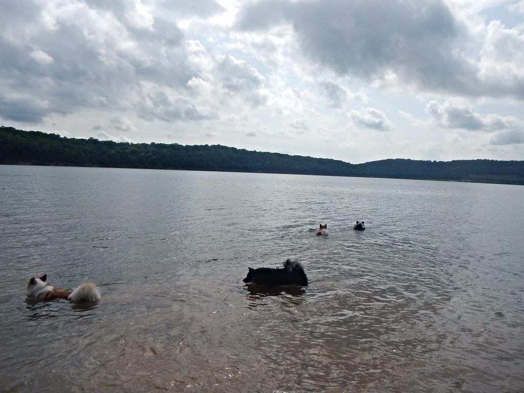
My four fishies
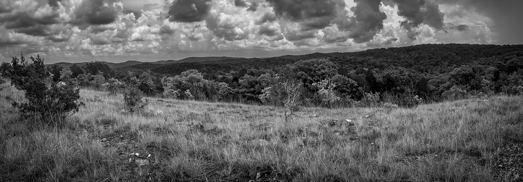
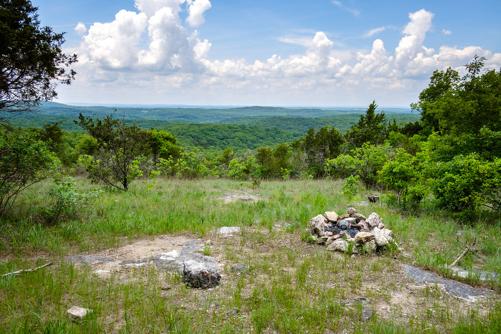
Looking East from The Glades
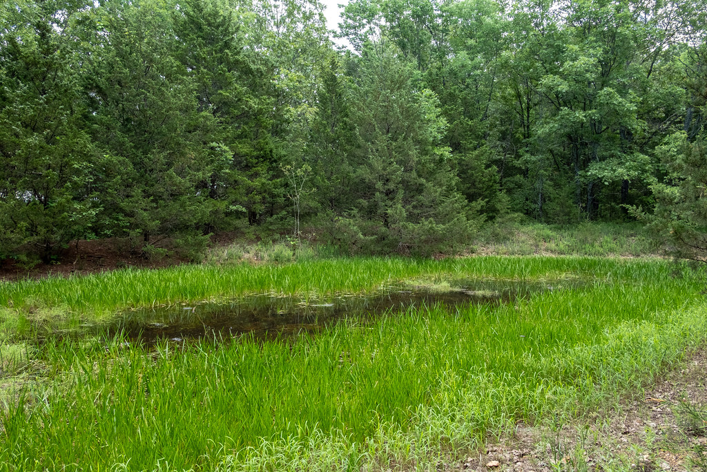
Stock Pond
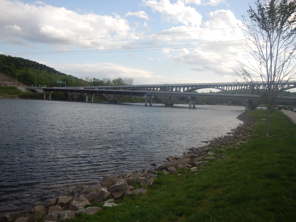
Branson, MO
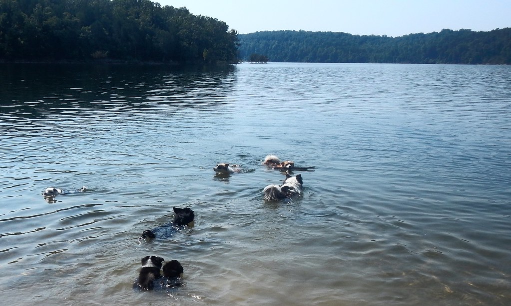
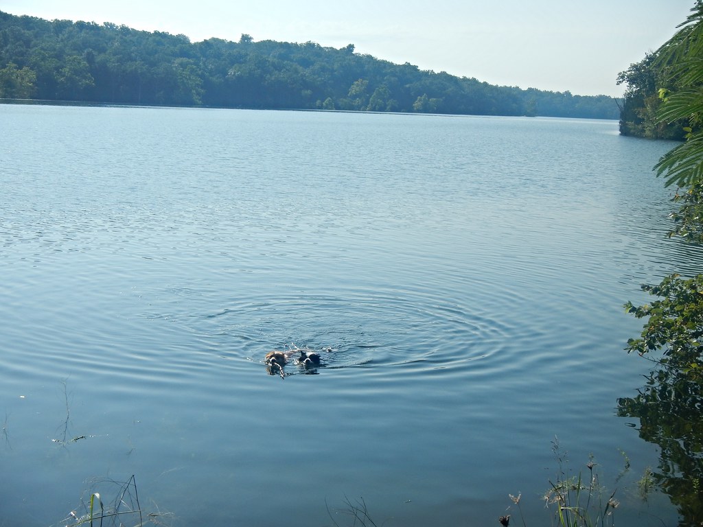
Going swimming
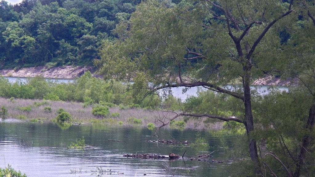
Turtles on logs
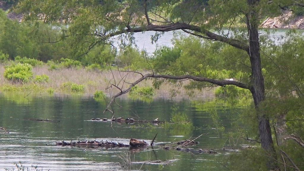
Turtles on logs
My fish
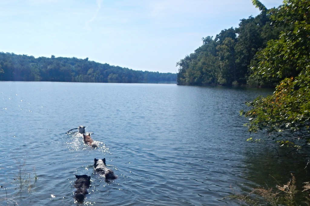
Disa and Gaela
Topographic Map of State Hwy OO, Cedarcreek, MO, USA
Find elevation by address:

Places near State Hwy OO, Cedarcreek, MO, USA:
Cedar Creek Township
2904 Moark Rd
379 Ar-14
Sugar Loaf Township
Minnow Dr W, Omaha, AR, USA
AR-14, Lead Hill, AR, USA
327 W Pine St
Protem
4646 Ar-14
Johnson Cove North
Lead Hill
Big Creek Township
745 Lazy Acres Rd
Downes Rd E, Lead Hill, AR, USA
4500 State Hwy Jj
New Hope Road North
Ricks Drive
Omaha Township
Dubuque Rd, Omaha, AR, USA
12478 Dubuque Rd
Recent Searches:
- Elevation of Côte-des-Neiges, Montreal, QC H4A 3J6, Canada
- Elevation of Bobcat Dr, Helena, MT, USA
- Elevation of Zu den Ihlowbergen, Althüttendorf, Germany
- Elevation of Badaber, Peshawar, Khyber Pakhtunkhwa, Pakistan
- Elevation of SE Heron Loop, Lincoln City, OR, USA
- Elevation of Slanický ostrov, 01 Námestovo, Slovakia
- Elevation of Spaceport America, Co Rd A, Truth or Consequences, NM, USA
- Elevation of Warwick, RI, USA
- Elevation of Fern Rd, Whitmore, CA, USA
- Elevation of 62 Abbey St, Marshfield, MA, USA