Elevation of Moark Rd, Cedarcreek, MO, USA
Location: United States > Missouri > Taney County > Cedar Creek Township > Cedarcreek >
Longitude: -93.006281
Latitude: 36.503091
Elevation: 242m / 794feet
Barometric Pressure: 98KPa
Elevation Map:
Satellite Map:
Related Photos:
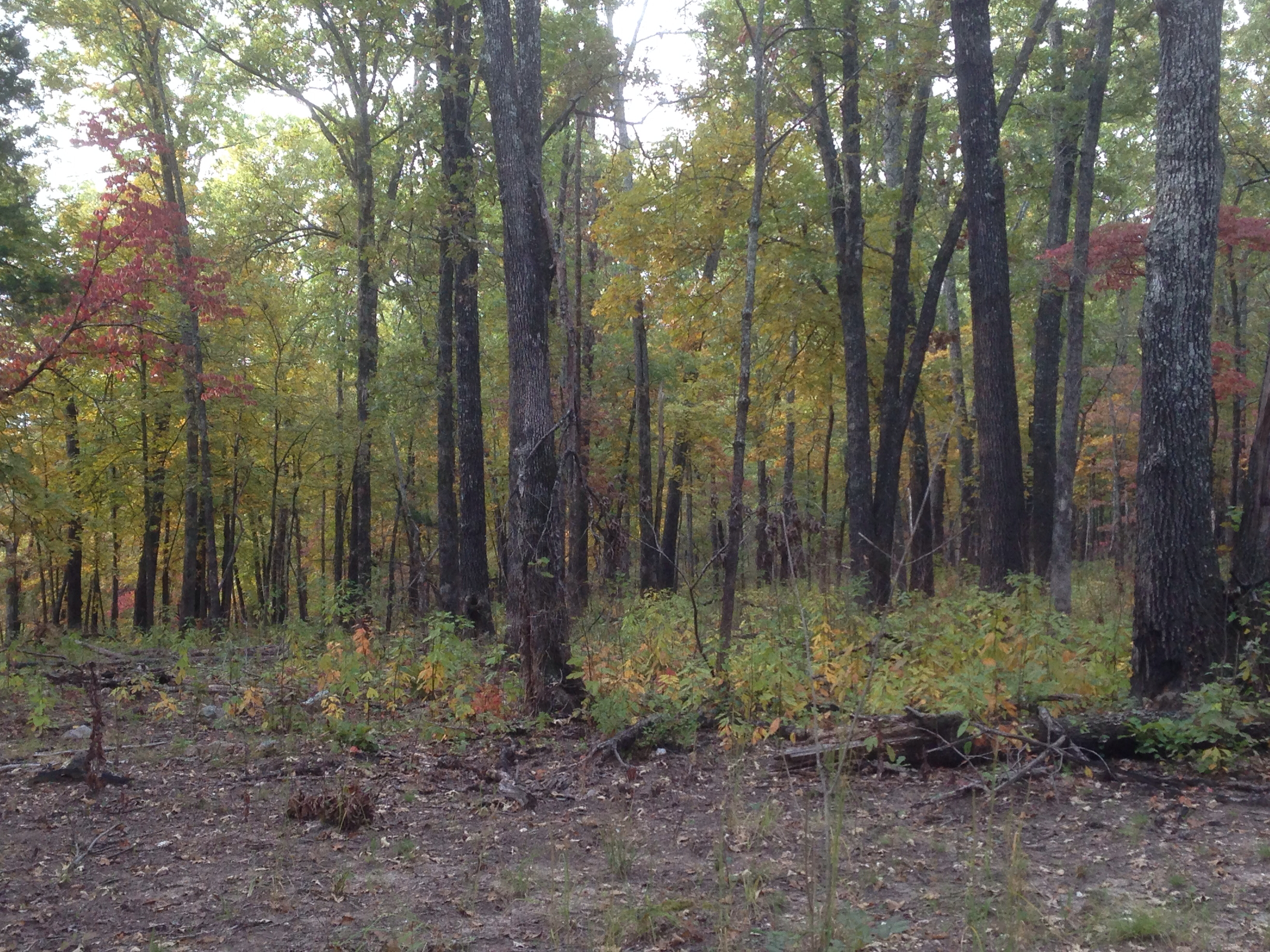
near Branson
My four fishies
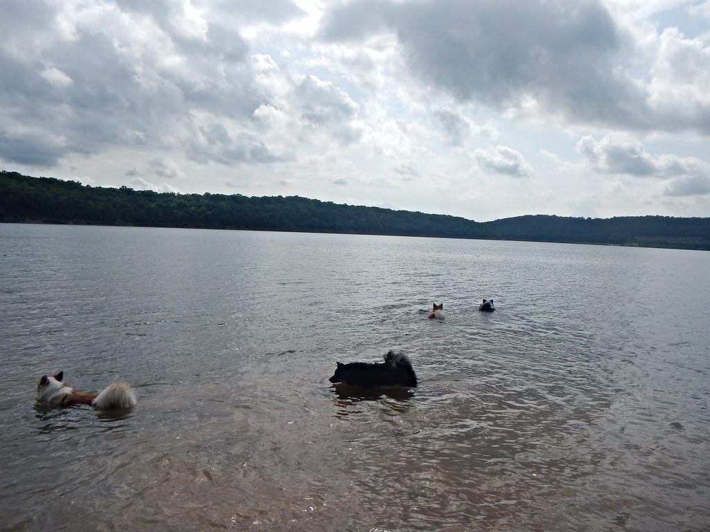
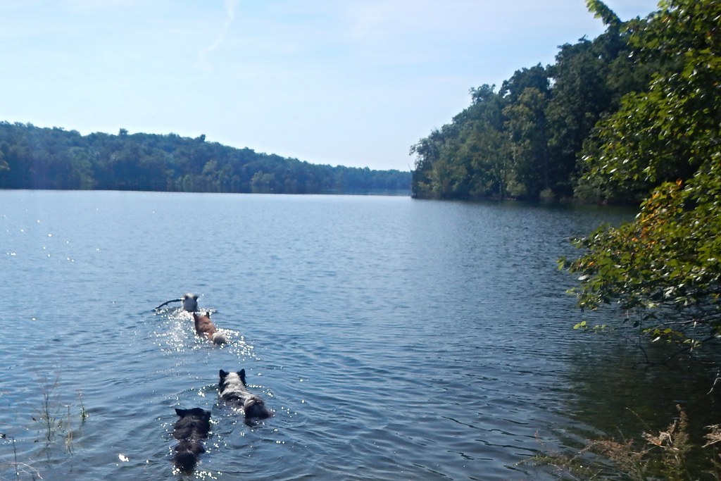
Going swimming
Turtles on logs

Turtles on logs
My fish
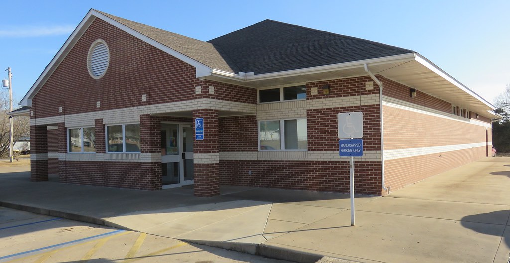
Post Office 72644 (Lead Hill, Arkansas)

20170609-DSC_1089-2

20170609-DSC_1089-4

Disa and her daughters

Disa and her shadow

sr_boys_regional 208

sr_boys_regional 308
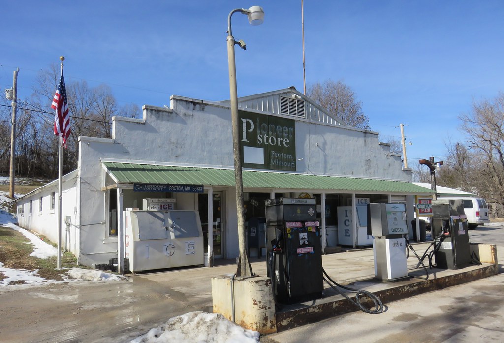
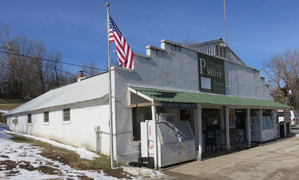
Pioneer Store, Gas Station, and Post Office 65733 (Protem, Missouri)
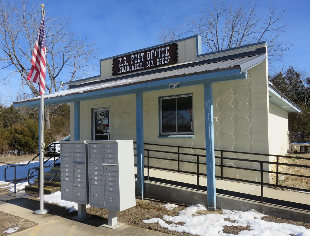
Post Office 65627 (Cedarcreek, Missouri)
Post Office 65733 (Protem, Missouri)

Mother and daughter

Mother and daughter

Love birds

Nelly and Disa
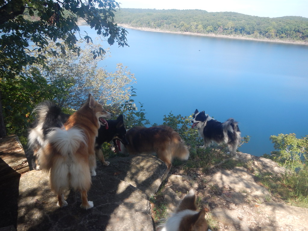
Made it to the top!
Tired boy!

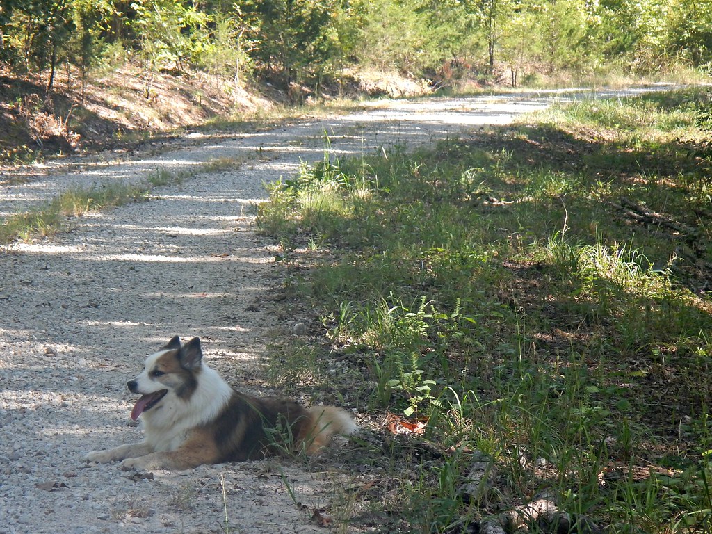
Dogs on a Log

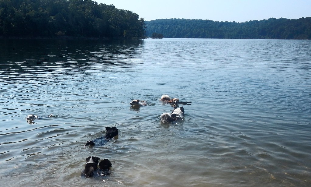
Five Icies
Made it to the top!

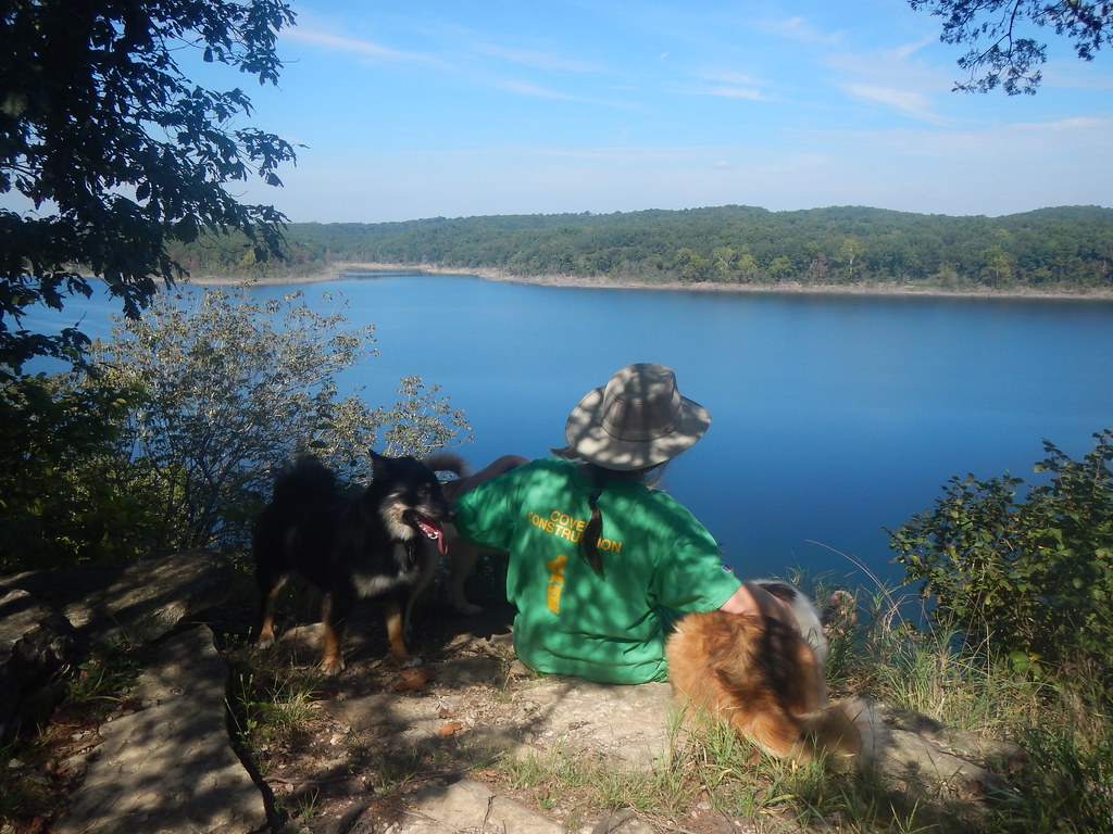
Taking a break

Gaela and Skundi
Topographic Map of Moark Rd, Cedarcreek, MO, USA
Find elevation by address:

Places near Moark Rd, Cedarcreek, MO, USA:
353 State Hwy Oo
Cedar Creek Township
379 Ar-14
Minnow Dr W, Omaha, AR, USA
Sugar Loaf Township
AR-14, Lead Hill, AR, USA
327 W Pine St
4646 Ar-14
Johnson Cove North
Lead Hill
Downes Rd E, Lead Hill, AR, USA
Ricks Drive
New Hope Road North
Dubuque Rd, Omaha, AR, USA
Protem
12478 Dubuque Rd
Omaha Township
4500 State Hwy Jj
Hopewell Rd N, Harrison, AR, USA
Elixir Township
Recent Searches:
- Elevation of 7 Waterfall Way, Tomball, TX, USA
- Elevation of SW 57th Ave, Portland, OR, USA
- Elevation of Crocker Dr, Vacaville, CA, USA
- Elevation of Pu Ngaol Community Meeting Hall, HWHM+3X7, Krong Saen Monourom, Cambodia
- Elevation of Royal Ontario Museum, Queens Park, Toronto, ON M5S 2C6, Canada
- Elevation of Groblershoop, South Africa
- Elevation of Power Generation Enterprises | Industrial Diesel Generators, Oak Ave, Canyon Country, CA, USA
- Elevation of Chesaw Rd, Oroville, WA, USA
- Elevation of N, Mt Pleasant, UT, USA
- Elevation of 6 Rue Jules Ferry, Beausoleil, France