Elevation of Lead Hill, AR, USA
Location: United States > Arkansas > Boone County > Sugar Loaf Township >
Longitude: -92.914894
Latitude: 36.4197897
Elevation: 257m / 843feet
Barometric Pressure: 98KPa
Elevation Map:
Satellite Map:
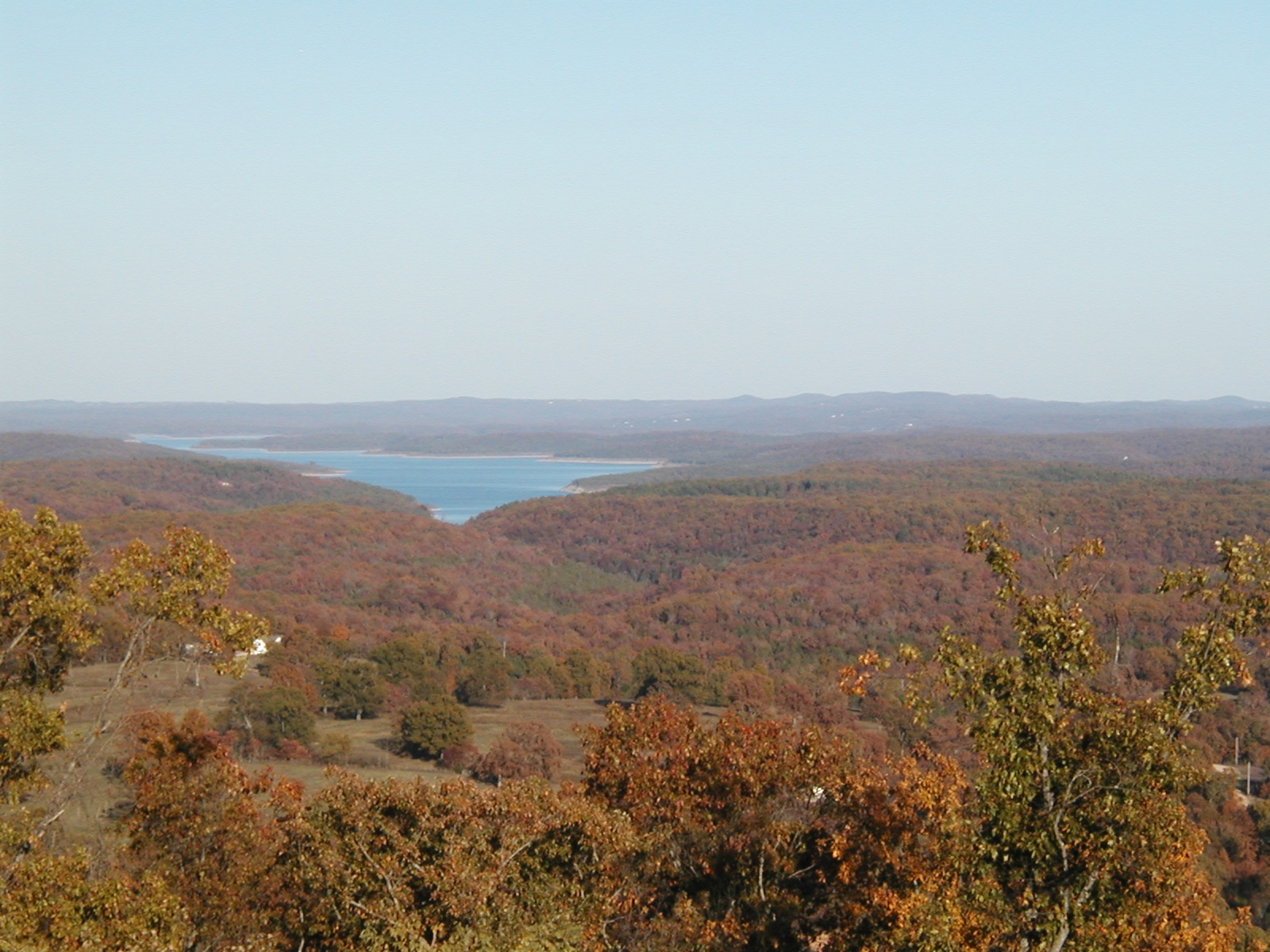
Related Photos:
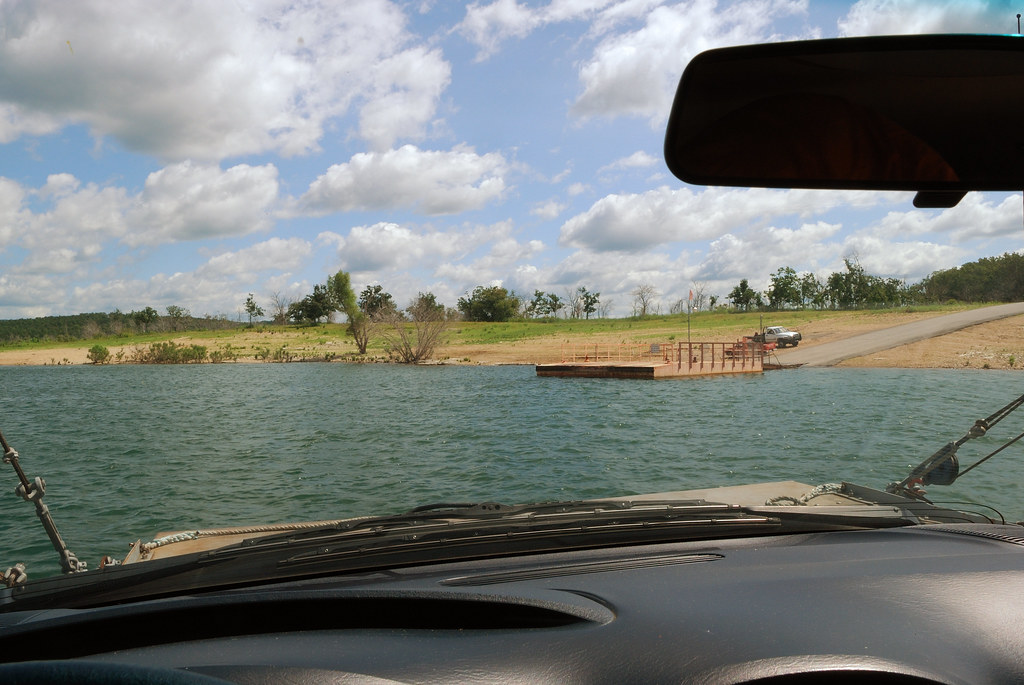
Final approach
PB070003.TIF

Arkansas, Diamond City Police Department

sr_boys_regional 300

sr_boys_regional 299

sr_boys_regional 298

sr_boys_regional 295

sr_boys_regional 297

sr_boys_regional 296

sr_boys_regional 294

sr_boys_regional 293

sr_boys_regional 290

sr_boys_regional 292

sr_boys_regional 291

sr_boys_regional 289

sr_boys_regional 288

sr_boys_regional 287

sr_boys_regional 285

sr_boys_regional 286

sr_boys_regional 284

sr_boys_regional 282

sr_boys_regional 281

sr_boys_regional 280
Topographic Map of Lead Hill, AR, USA
Find elevation by address:

Places in Lead Hill, AR, USA:
Places near Lead Hill, AR, USA:
327 W Pine St
AR-14, Lead Hill, AR, USA
Sugar Loaf Township
Downes Rd E, Lead Hill, AR, USA
AR-14, Yellville, AR, USA
Sugarloaf Township
4799 Tar Kiln Rd E
4799 Tar Kiln Rd E
Ricks Drive
2376 New Test Church Dr
379 Ar-14
Elixir Township
Protem
2904 Moark Rd
745 Lazy Acres Rd
Zinc Township
Broadway St N, Harrison, AR, USA
Zinc
Bergman St E, Harrison, AR, USA
Bergman
Recent Searches:
- Elevation of Corso Fratelli Cairoli, 35, Macerata MC, Italy
- Elevation of Tallevast Rd, Sarasota, FL, USA
- Elevation of 4th St E, Sonoma, CA, USA
- Elevation of Black Hollow Rd, Pennsdale, PA, USA
- Elevation of Oakland Ave, Williamsport, PA, USA
- Elevation of Pedrógão Grande, Portugal
- Elevation of Klee Dr, Martinsburg, WV, USA
- Elevation of Via Roma, Pieranica CR, Italy
- Elevation of Tavkvetili Mountain, Georgia
- Elevation of Hartfords Bluff Cir, Mt Pleasant, SC, USA