Elevation of Bergman St E, Harrison, AR, USA
Location: United States > Arkansas > Boone County > Elixir Township > Bergman >
Longitude: -93.006797
Latitude: 36.316199
Elevation: 375m / 1230feet
Barometric Pressure: 97KPa
Elevation Map:
Satellite Map:
Related Photos:

Scarlet Branches Aglow

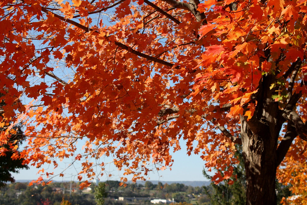
Bumper Crop of Orange

Blaze Across the Sky

Shiny Scarlet

Maples Through the Hayfield

Flaming Branches

Colors of Maple

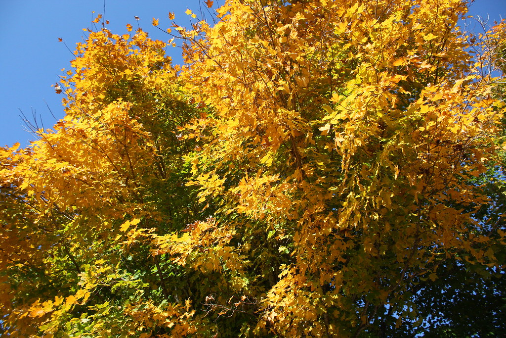
Yellow Against Green
Tangerine Canopy

Citrus Shades
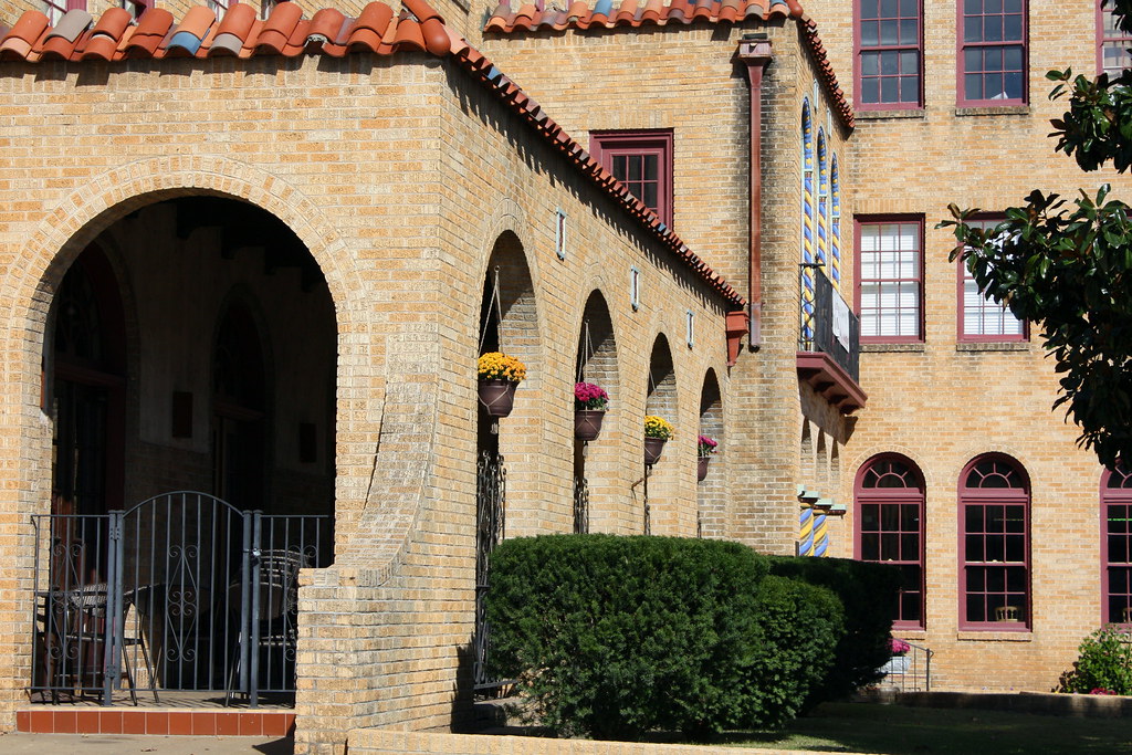
Flowery Arches
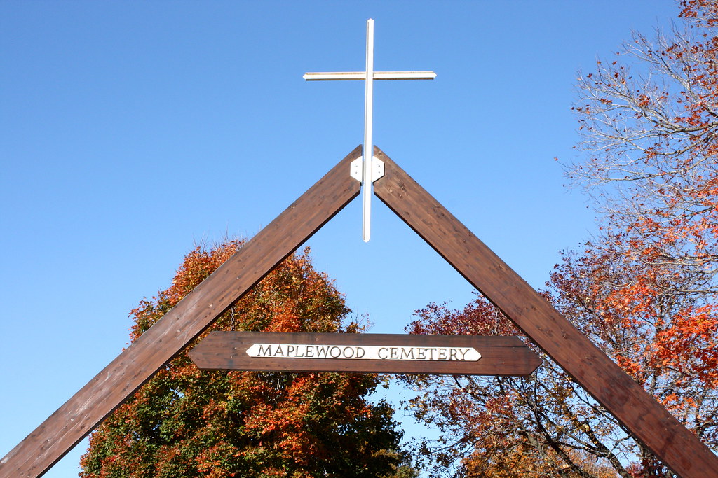
Maplewood Cemetery
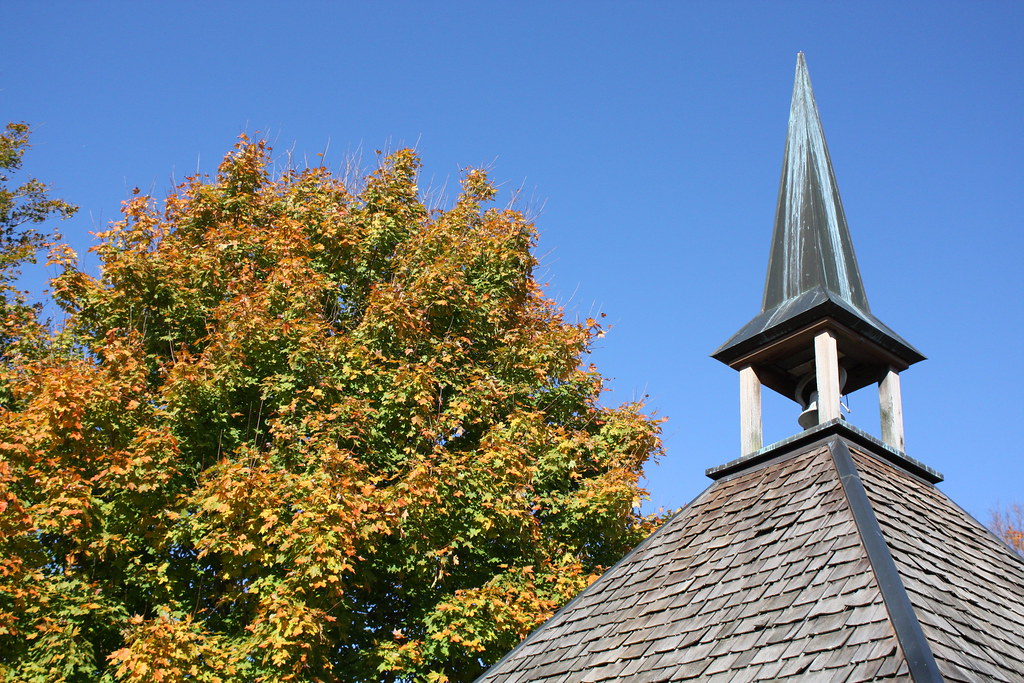
Autumn Steeple
Lemon Lime

Roland Creek-Side View

⬇️ ⬅️↙️

Morning in the valley
2013 Iowa trip-2
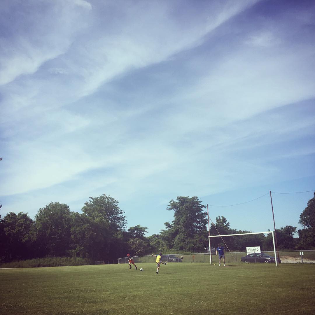
Soccer players

Frozen Pine
Topographic Map of Bergman St E, Harrison, AR, USA
Find elevation by address:

Places near Bergman St E, Harrison, AR, USA:
Bergman
Boone County
Elixir Township
8021 Norvel Dr N
2376 New Test Church Dr
Ricks Drive
4799 Tar Kiln Rd E
4799 Tar Kiln Rd E
Mill Hollow Rd W, Harrison, AR, USA
Downes Rd E, Lead Hill, AR, USA
4204 Hickenbottom Rd N
Hopewell Rd N, Harrison, AR, USA
Zinc Township
Zinc
Broadway St N, Harrison, AR, USA
2688 Echo Hills Dr
Lee Township
4775 Zinc Cutoff Rd
1913 Highgrove Rd
1918 Highgrove Rd
Recent Searches:
- Elevation of Elwyn Dr, Roanoke Rapids, NC, USA
- Elevation of Congressional Dr, Stevensville, MD, USA
- Elevation of Bellview Rd, McLean, VA, USA
- Elevation of Stage Island Rd, Chatham, MA, USA
- Elevation of Shibuya Scramble Crossing, 21 Udagawacho, Shibuya City, Tokyo -, Japan
- Elevation of Jadagoniai, Kaunas District Municipality, Lithuania
- Elevation of Pagonija rock, Kranto 7-oji g. 8"N, Kaunas, Lithuania
- Elevation of Co Rd 87, Jamestown, CO, USA
- Elevation of Tenjo, Cundinamarca, Colombia
- Elevation of Côte-des-Neiges, Montreal, QC H4A 3J6, Canada