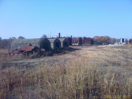
Elevation of Mill Hollow Rd W, Harrison, AR, USA
Location: United States > Arkansas > Boone County > Lee Township >
Longitude: -93.060445
Latitude: 36.337169
Elevation: 290m / 951feet
Barometric Pressure: 98KPa
Related Photos:
Topographic Map of Mill Hollow Rd W, Harrison, AR, USA
Find elevation by address:

Places near Mill Hollow Rd W, Harrison, AR, USA:
Hopewell Rd N, Harrison, AR, USA
8021 Norvel Dr N
Boone County
Bergman
Bergman St E, Harrison, AR, USA
Lee Township
Elixir Township
Ricks Drive
2688 Echo Hills Dr
4204 Hickenbottom Rd N
Downes Rd E, Lead Hill, AR, USA
1913 Highgrove Rd
1918 Highgrove Rd
2376 New Test Church Dr
207 Approach Dr
1818 Daly Dr
North Harrison Township
2200 Forward Dr
107 W Commercial St
Main Street Merchandise Outlet
Recent Searches:
- Elevation of Lampiasi St, Sarasota, FL, USA
- Elevation of Elwyn Dr, Roanoke Rapids, NC, USA
- Elevation of Congressional Dr, Stevensville, MD, USA
- Elevation of Bellview Rd, McLean, VA, USA
- Elevation of Stage Island Rd, Chatham, MA, USA
- Elevation of Shibuya Scramble Crossing, 21 Udagawacho, Shibuya City, Tokyo -, Japan
- Elevation of Jadagoniai, Kaunas District Municipality, Lithuania
- Elevation of Pagonija rock, Kranto 7-oji g. 8"N, Kaunas, Lithuania
- Elevation of Co Rd 87, Jamestown, CO, USA
- Elevation of Tenjo, Cundinamarca, Colombia

