Elevation of Protem, MO, USA
Location: United States > Missouri > Taney County > Big Creek Township >
Longitude: -92.858783
Latitude: 36.5289539
Elevation: 214m / 702feet
Barometric Pressure: 99KPa
Elevation Map:
Satellite Map:
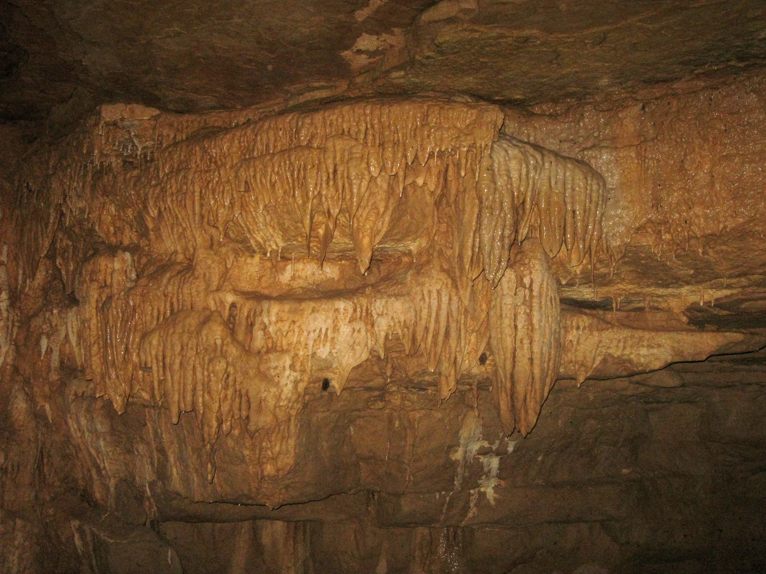
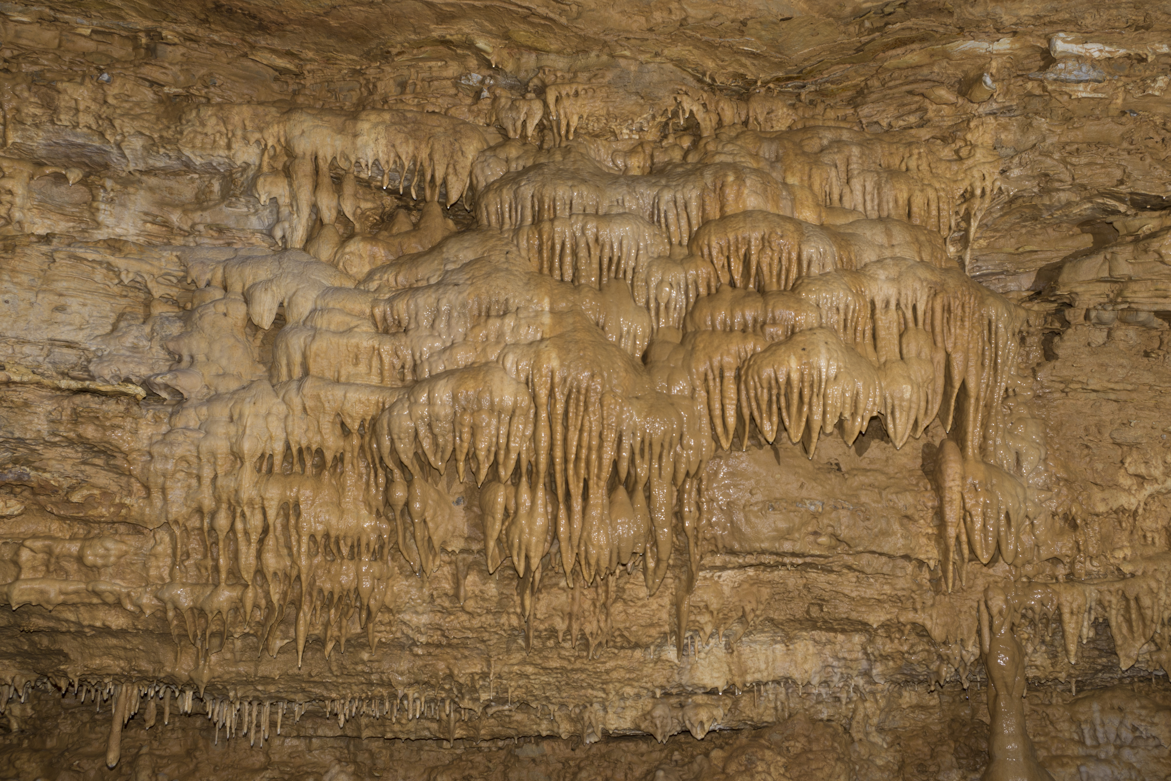
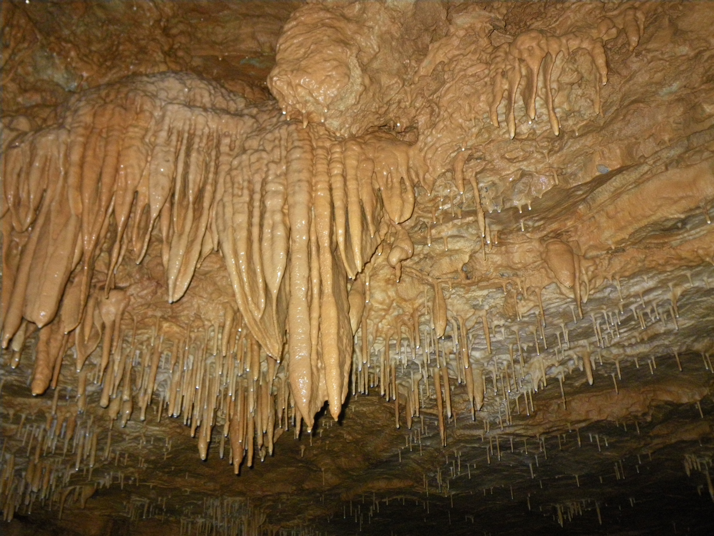
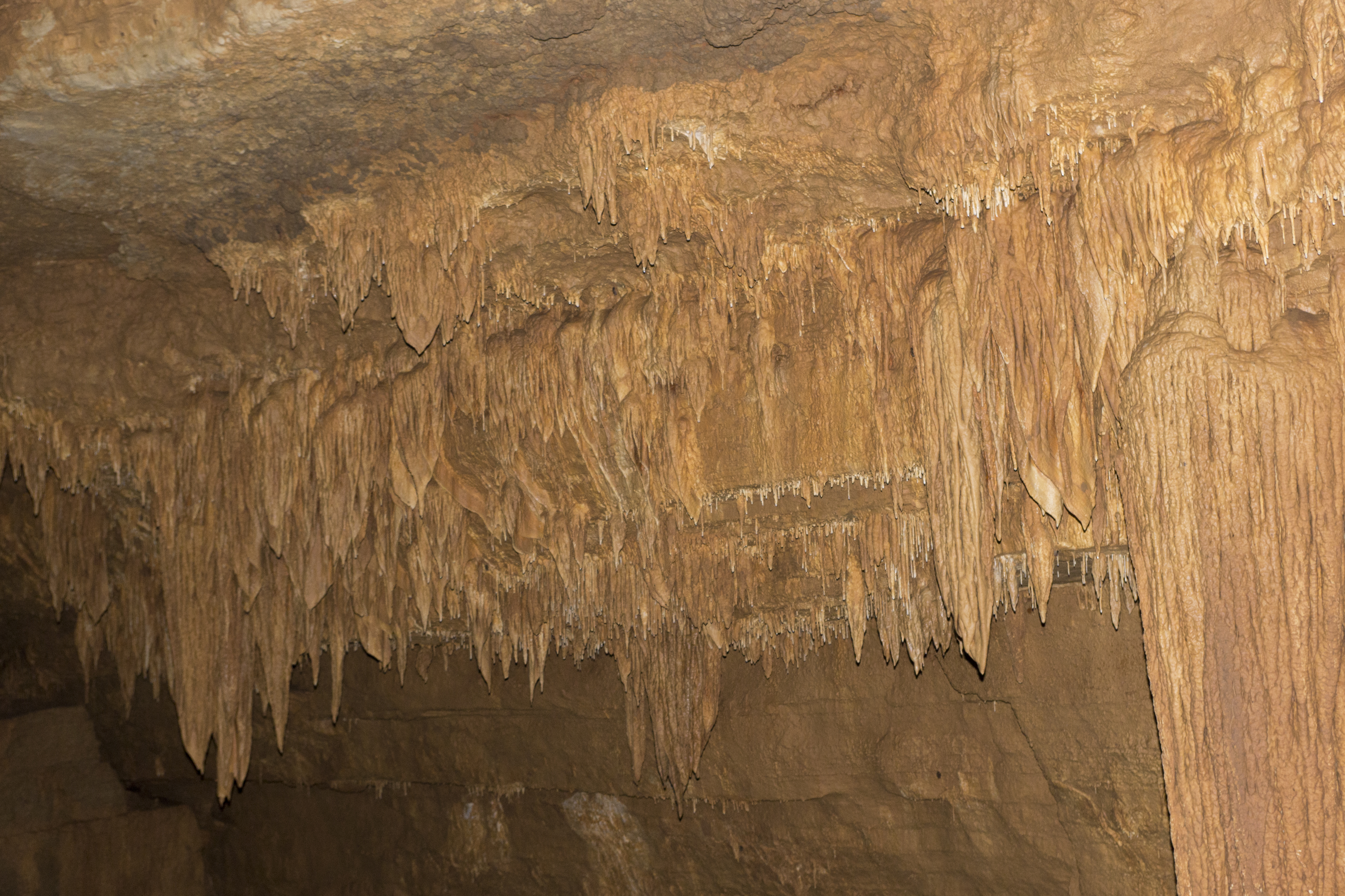
Related Photos:
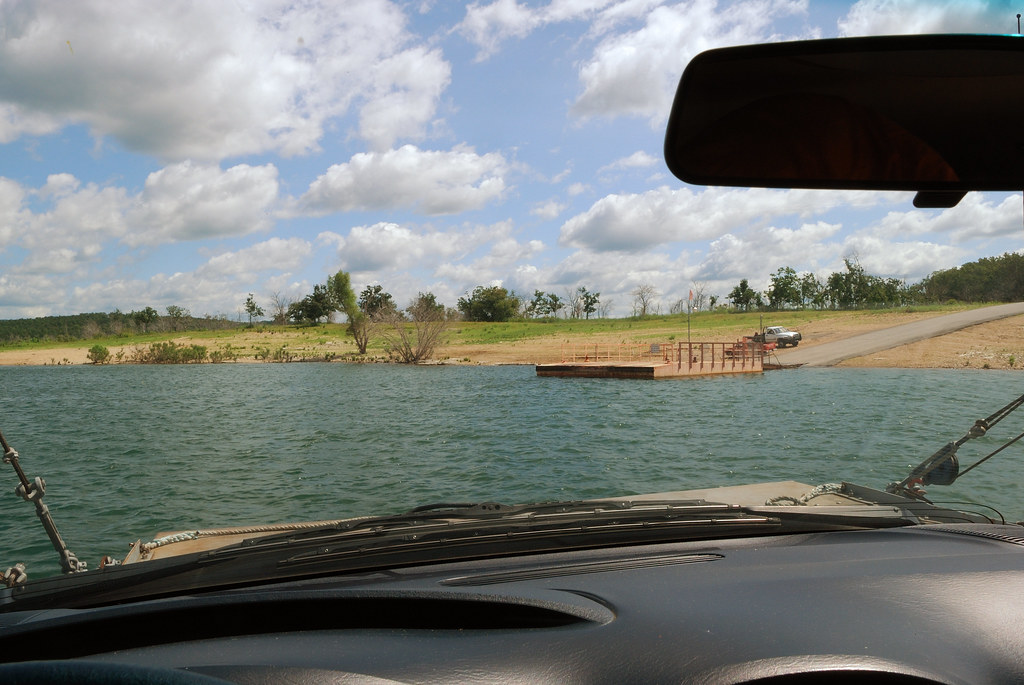
Final approach

This view...and my fat head ruining it. #arkansas #peelarkansas #camping #view #selfie #bigshoalslake #binkysadventures #binkyvacation2016
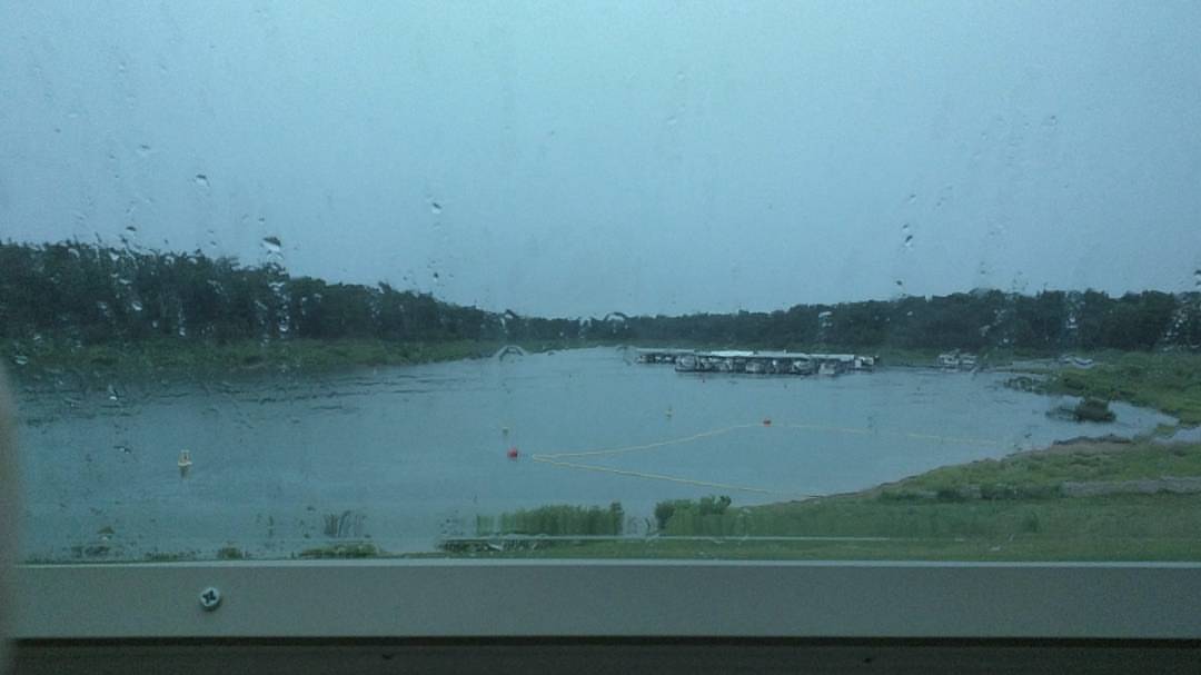
Current camper view. Rainy afternoon. Perfect for a nap before I cook some fresh caught trout. #camping #rain #naptime #awesomeday #binkysadventures #binkyvacation2016

DJT_1283

DJT_1247

DJT_1082
DJT_0939
DJT_0951

DJT_1215
IMG_4261
DJT_1111
IMGP1335
DJT_0994

DJT_1184
DJT_1113

DJT_1412

DJT_1250
DJT_1079

IMGP0615

DJT_1248

DJT_1306

DJT_1258

DJT_1353
DJT_0941
Topographic Map of Protem, MO, USA
Find elevation by address:

Places near Protem, MO, USA:
745 Lazy Acres Rd
Big Creek Township
327 W Pine St
Lead Hill
353 State Hwy Oo
AR-14, Lead Hill, AR, USA
Cedar Creek Township
Sugar Loaf Township
2904 Moark Rd
AR-14, Yellville, AR, USA
Sugarloaf Township
379 Ar-14
Downes Rd E, Lead Hill, AR, USA
Minnow Dr W, Omaha, AR, USA
4799 Tar Kiln Rd E
4799 Tar Kiln Rd E
Ricks Drive
2376 New Test Church Dr
Elixir Township
Zinc Township
Recent Searches:
- Elevation of Woodland Oak Pl, Thousand Oaks, CA, USA
- Elevation of Brownsdale Rd, Renfrew, PA, USA
- Elevation of Corcoran Ln, Suffolk, VA, USA
- Elevation of Mamala II, Sariaya, Quezon, Philippines
- Elevation of Sarangdanda, Nepal
- Elevation of 7 Waterfall Way, Tomball, TX, USA
- Elevation of SW 57th Ave, Portland, OR, USA
- Elevation of Crocker Dr, Vacaville, CA, USA
- Elevation of Pu Ngaol Community Meeting Hall, HWHM+3X7, Krong Saen Monourom, Cambodia
- Elevation of Royal Ontario Museum, Queens Park, Toronto, ON M5S 2C6, Canada