Elevation of W Harvey Ave, Wellington, KS, USA
Location: United States > Kansas > Sumner County > Wellington >
Longitude: -97.398995
Latitude: 37.2653755
Elevation: 373m / 1224feet
Barometric Pressure: 97KPa
Elevation Map:
Satellite Map:
Related Photos:
Hometown View #15
Hometown Views #3

Hometown View #8

Hometown View #13

Hometown Views #4

Hometown Views #6
Hometown View #14

Hometown View #9

Alley-Color
Hometown View #18
Hometown Views #2
Hometown Views #5
Alley-B&W
IMG_0262
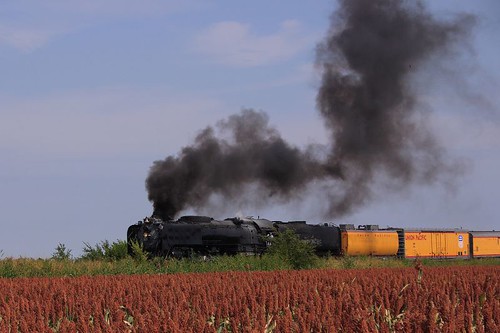
090907Nr8447UP16
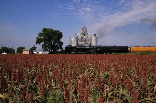
090907Nr8447UP19
Watershed
DSC04310
Topographic Map of W Harvey Ave, Wellington, KS, USA
Find elevation by address:

Places near W Harvey Ave, Wellington, KS, USA:
Wellington, KS, USA
1408 N Olive St
1906 N B St
Wellington
Wellington Koa Holiday
634 N Seneca Rd
Greene
Mayfield
W Garfield Ave, Mayfield, KS, USA
Osborne
1390 E 30th Ave N
Sumner
N Pacific Rd, Wellington, KS, USA
Belle Plaine
N Merchant St, Belle Plaine, KS, USA
Oxford
Belle Plaine Township
Palestine
Hampton Inn & Suites I-35/mulvane
Sumner County
Recent Searches:
- Elevation of Shibuya Scramble Crossing, 21 Udagawacho, Shibuya City, Tokyo -, Japan
- Elevation of Jadagoniai, Kaunas District Municipality, Lithuania
- Elevation of Pagonija rock, Kranto 7-oji g. 8"N, Kaunas, Lithuania
- Elevation of Co Rd 87, Jamestown, CO, USA
- Elevation of Tenjo, Cundinamarca, Colombia
- Elevation of Côte-des-Neiges, Montreal, QC H4A 3J6, Canada
- Elevation of Bobcat Dr, Helena, MT, USA
- Elevation of Zu den Ihlowbergen, Althüttendorf, Germany
- Elevation of Badaber, Peshawar, Khyber Pakhtunkhwa, Pakistan
- Elevation of SE Heron Loop, Lincoln City, OR, USA