Elevation of Mayfield, KS, USA
Location: United States > Kansas > Sumner County > Osborne >
Longitude: -97.544770
Latitude: 37.2583549
Elevation: 391m / 1283feet
Barometric Pressure: 97KPa
Elevation Map:
Satellite Map:
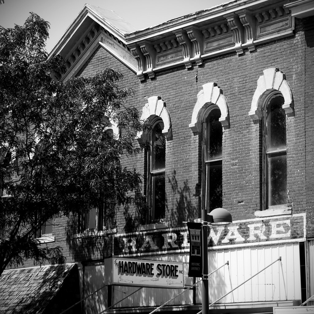
Related Photos:
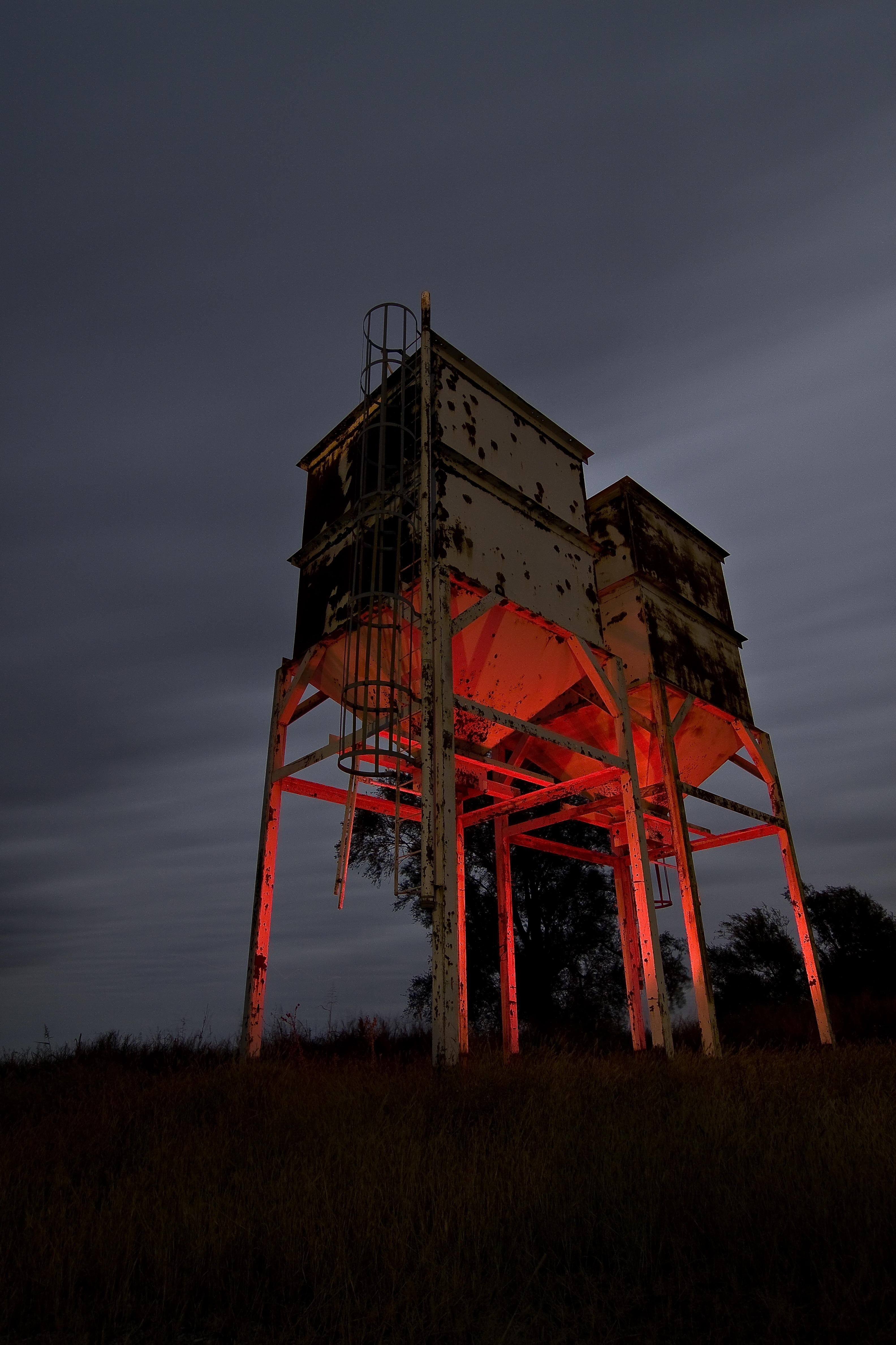
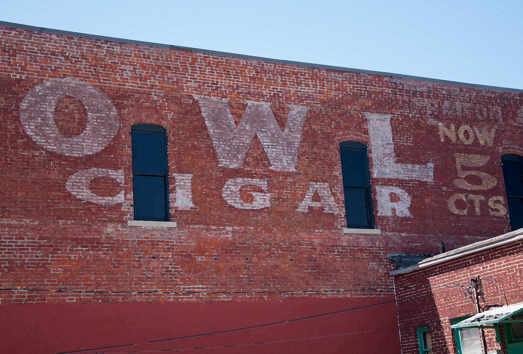
Twin Towers

Hometown View #15
Hometown Views #3

Hometown View #13

Hometown View #11

Hometown Views #4

Restore Me
Hometown View #14

Hometown View #8

Hometown View #17

Hometown View #9

Alley-Color
Hometown View #18

Hometown View #12

Hometown Views #7
Hometown Views #2
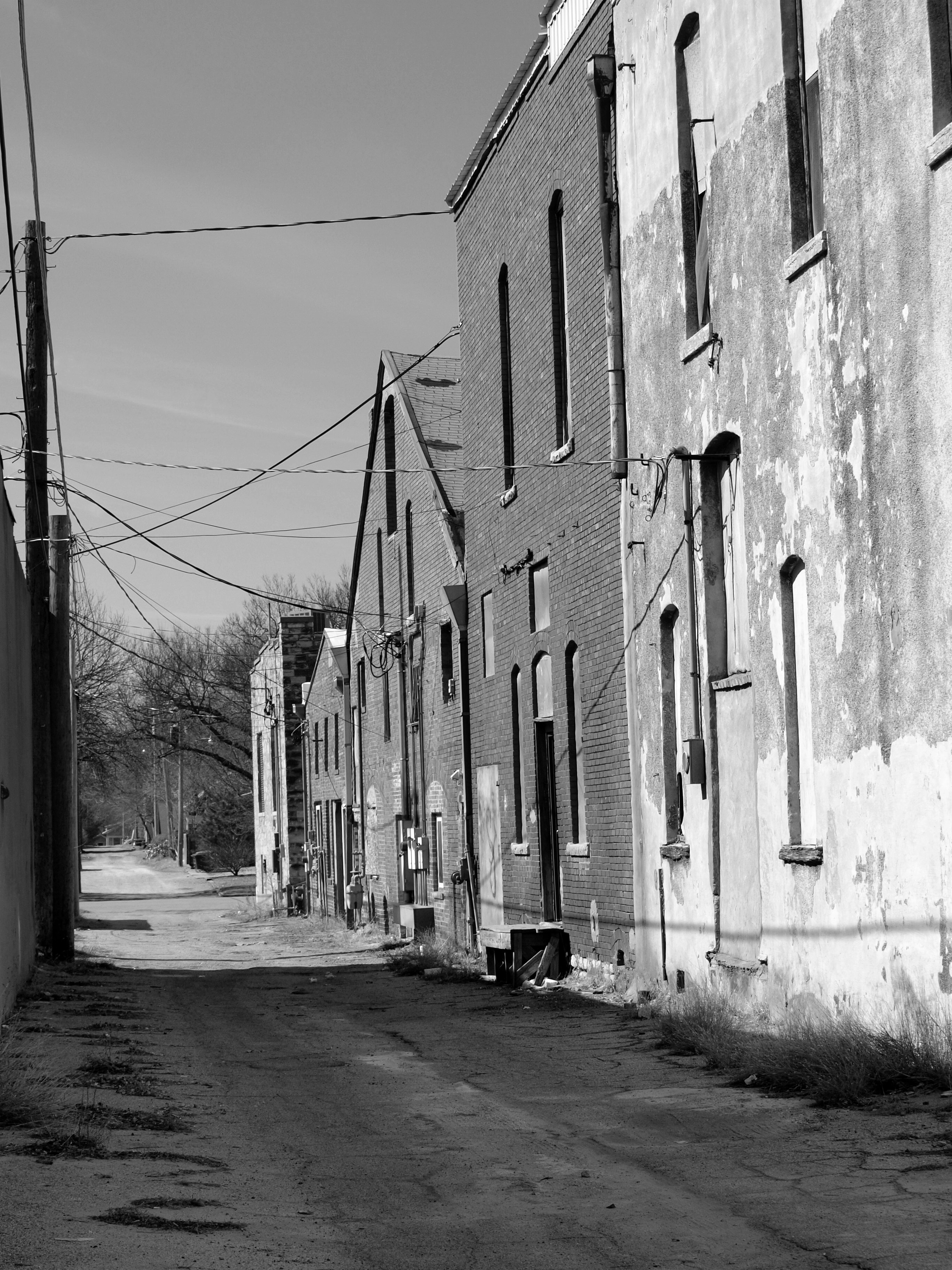
Alley-B&W
Hometown Views #1

Hometown Views #5

Hometown Views #6

Hometown View #16

Kansas Sun Set
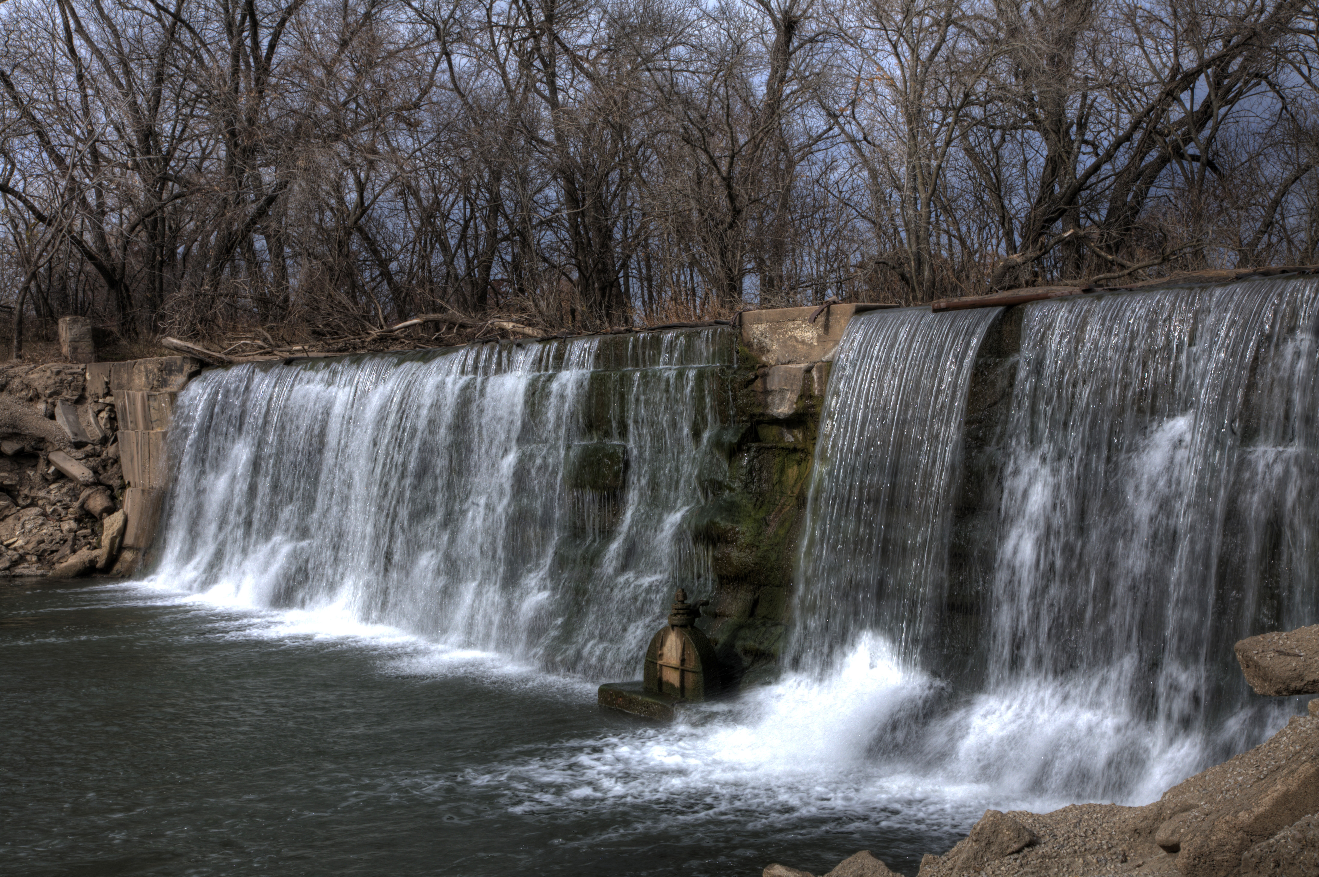
Donut pond falls

Groen Kansas
Topographic Map of Mayfield, KS, USA
Find elevation by address:

Places in Mayfield, KS, USA:
Places near Mayfield, KS, USA:
W Garfield Ave, Mayfield, KS, USA
Osborne
Sumner County
Sumner
N Pacific Rd, Wellington, KS, USA
100 Ks-49
1408 N Olive St
124 W Harvey Ave
814 N Conway Springs Rd
1906 N B St
Wellington, KS, USA
Wellington
W 140th St S & S Anson Rd
Dixon
Wellington Koa Holiday
Falls
634 N Seneca Rd
N Main St, Argonia, KS, USA
Argonia
Greene
Recent Searches:
- Elevation of Co Rd 87, Jamestown, CO, USA
- Elevation of Tenjo, Cundinamarca, Colombia
- Elevation of Côte-des-Neiges, Montreal, QC H4A 3J6, Canada
- Elevation of Bobcat Dr, Helena, MT, USA
- Elevation of Zu den Ihlowbergen, Althüttendorf, Germany
- Elevation of Badaber, Peshawar, Khyber Pakhtunkhwa, Pakistan
- Elevation of SE Heron Loop, Lincoln City, OR, USA
- Elevation of Slanický ostrov, 01 Námestovo, Slovakia
- Elevation of Spaceport America, Co Rd A, Truth or Consequences, NM, USA
- Elevation of Warwick, RI, USA