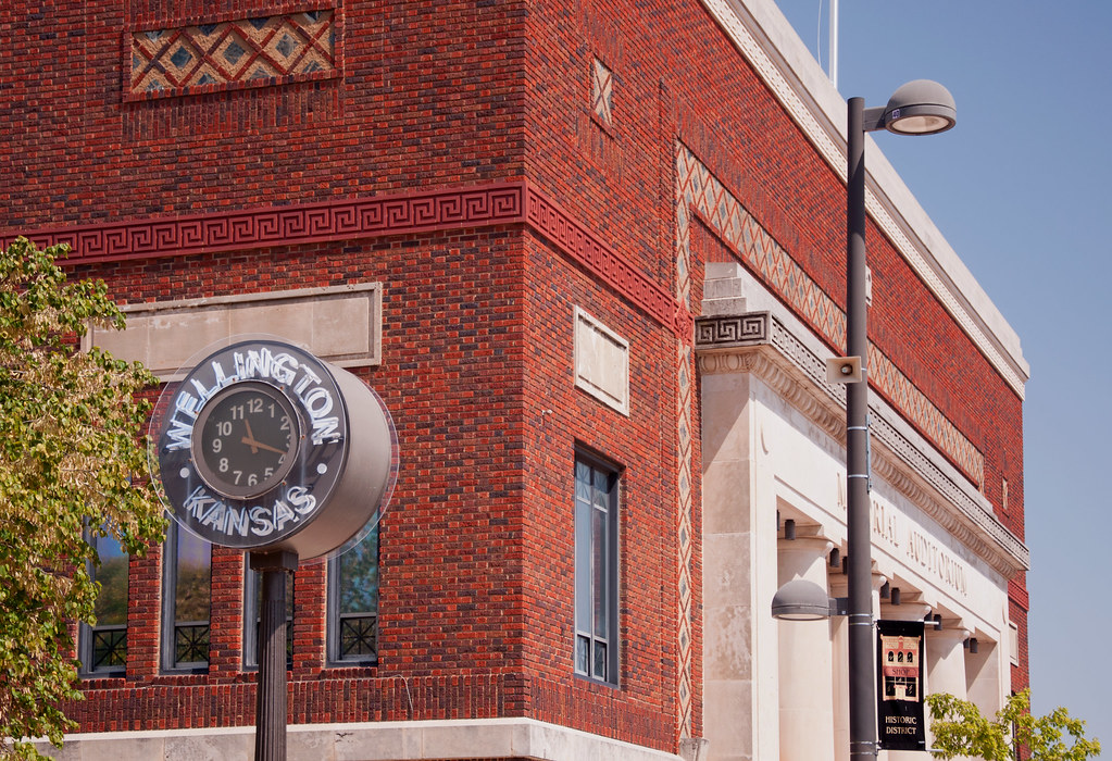
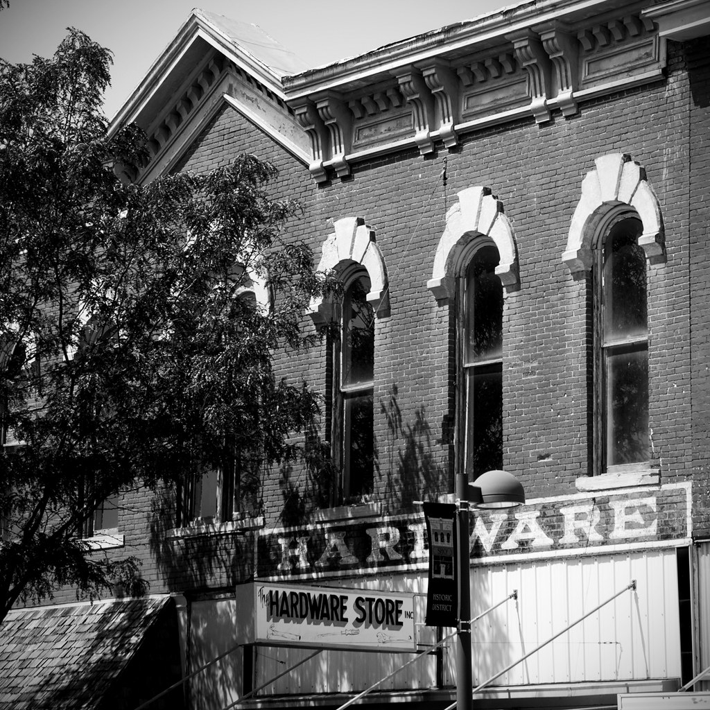
Elevation of Wellington, KS, USA
Location: United States > Kansas > Sumner County >
Longitude: -97.371711
Latitude: 37.2653004
Elevation: 375m / 1230feet
Barometric Pressure: 97KPa
Elevation Map:
Satellite Map:
Related Photos:

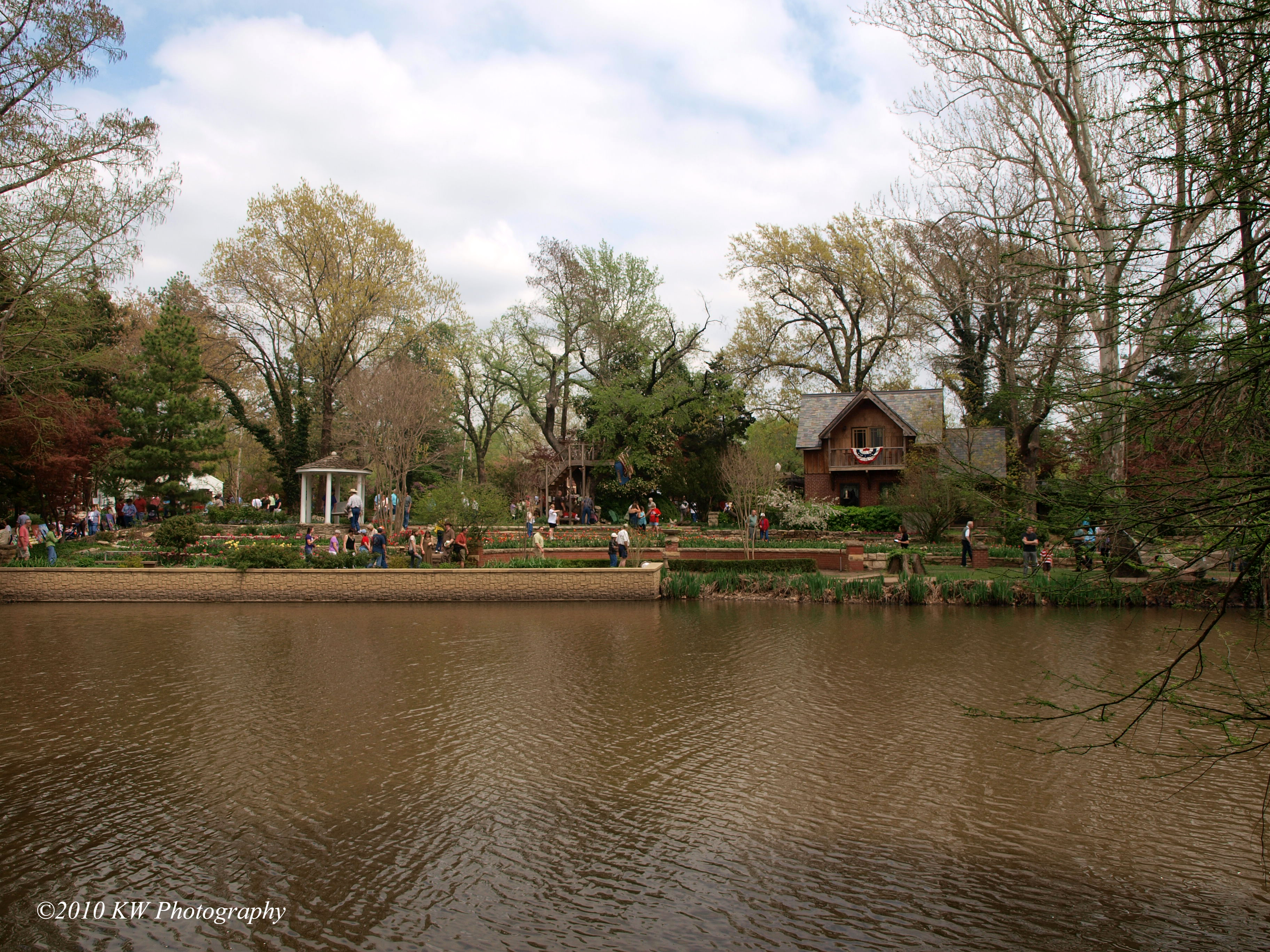
Hometown View #15
Hometown Views #3

Hometown View #13

Hometown View #11

Hometown Views #4
Hometown View #14

Hometown View #8

Hometown View #17

Hometown View #9

Alley-Color
Hometown View #18

Hometown View #12

Hometown Views #7

Hometown Views #2

Alley-B&W
Hometown Views #1

Hometown Views #5

Hometown Views #6

Hometown View #16
P4118195 copy

Hometown View #10

Here, out of this world (color).

Adrift to the valley (color).
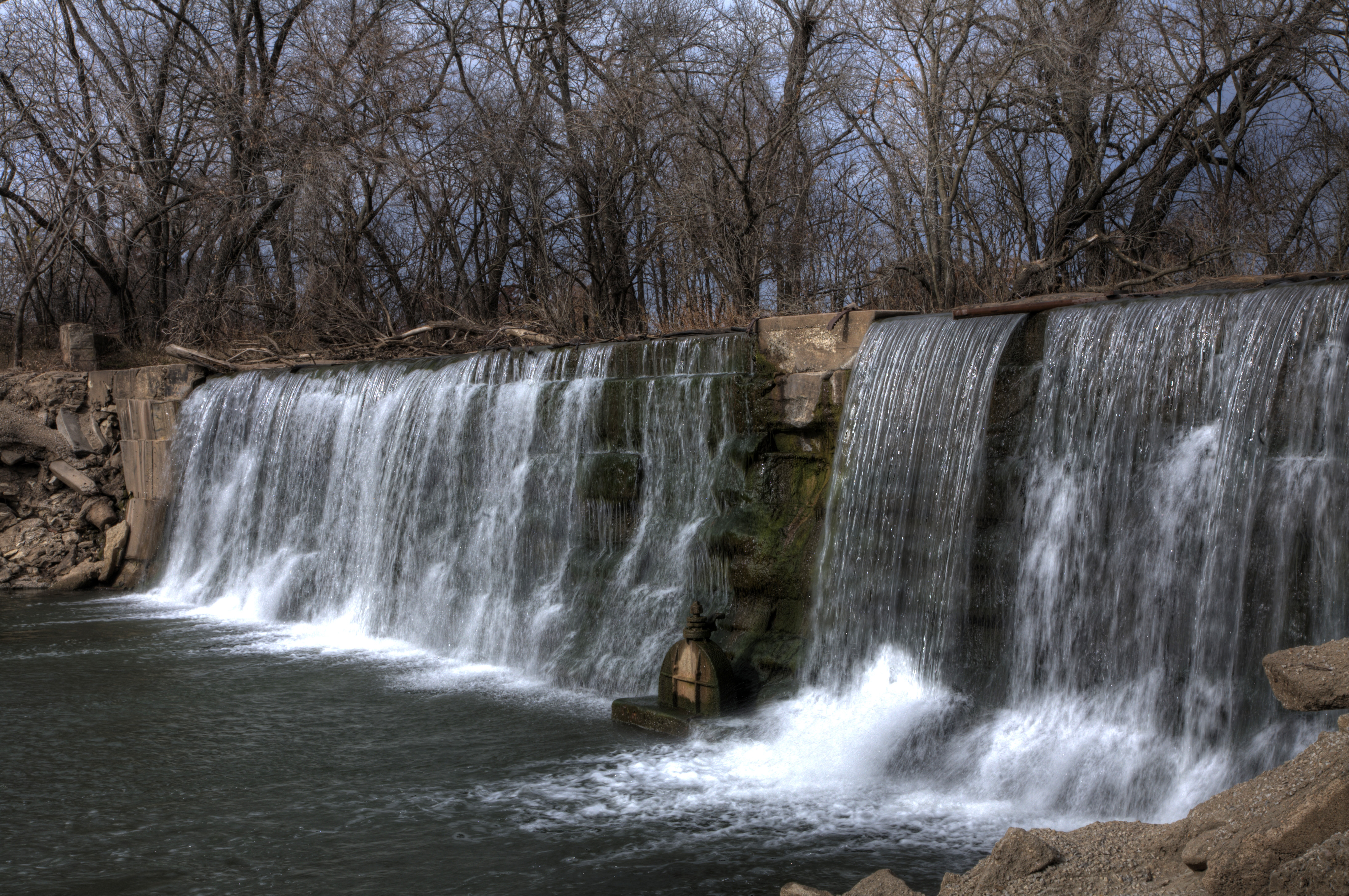
Donut pond falls

Adrift to the valley.

Here, out of this world.

Groen Kansas

RoadTrip 201207300021
Topographic Map of Wellington, KS, USA
Find elevation by address:

Places in Wellington, KS, USA:
Places near Wellington, KS, USA:
Wellington Koa Holiday
124 W Harvey Ave
Wellington, KS, USA
1906 N B St
1408 N Olive St
634 N Seneca Rd
Greene
1390 E 30th Ave N
Belle Plaine
N Merchant St, Belle Plaine, KS, USA
Oxford
Mayfield
W Garfield Ave, Mayfield, KS, USA
Osborne
N Pacific Rd, Wellington, KS, USA
Sumner
Palestine
Belle Plaine Township
Oxford
E 50th Ave N, Belle Plaine, KS, USA
Recent Searches:
- Elevation of Jalan Senandin, Lutong, Miri, Sarawak, Malaysia
- Elevation of Bilohirs'k
- Elevation of 30 Oak Lawn Dr, Barkhamsted, CT, USA
- Elevation of Luther Road, Luther Rd, Auburn, CA, USA
- Elevation of Unnamed Road, Respublika Severnaya Osetiya — Alaniya, Russia
- Elevation of Verkhny Fiagdon, North Ossetia–Alania Republic, Russia
- Elevation of F. Viola Hiway, San Rafael, Bulacan, Philippines
- Elevation of Herbage Dr, Gulfport, MS, USA
- Elevation of Lilac Cir, Haldimand, ON N3W 2G9, Canada
- Elevation of Harrod Branch Road, Harrod Branch Rd, Kentucky, USA