Elevation of E 30th Ave N, Belle Plaine, KS, USA
Location: United States > Kansas > Sumner County > Belle Plaine Township > Belle Plaine >
Longitude: -97.241793
Latitude: 37.3051698
Elevation: -10000m / -32808feet
Barometric Pressure: 295KPa
Elevation Map:
Satellite Map:
Related Photos:

Greetings From Kansas

The Old Oxford Mill

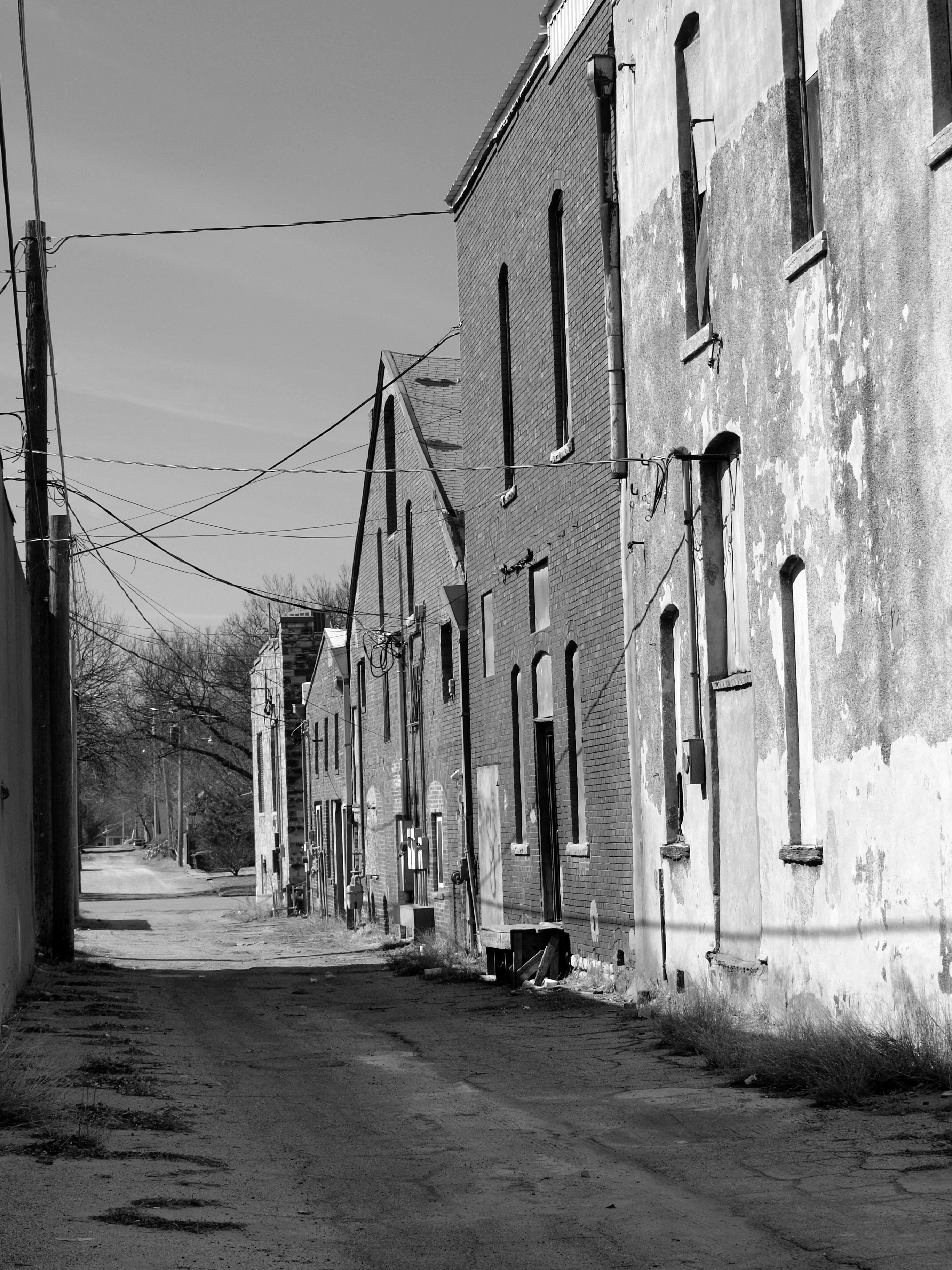
Alley-Color

Hometown View #15

Hometown Views #3

Hometown View #8

Hometown View #13

Hometown Views #4

Hometown Views #6

Hometown View #14

Hometown View #18

Hometown Views #2

Hometown Views #5

P4118195 copy
Alley-B&W

Old Oxford Mill

Donut pond falls

The Woods by the Old Mill
Topographic Map of E 30th Ave N, Belle Plaine, KS, USA
Find elevation by address:

Places near E 30th Ave N, Belle Plaine, KS, USA:
Oxford
Palestine
E 50th Ave N, Belle Plaine, KS, USA
Oxford
N Merchant St, Belle Plaine, KS, USA
Belle Plaine
634 N Seneca Rd
Wellington Koa Holiday
Wellington
Belle Plaine Township
Ninnescah
23rd Rd, Winfield, KS, USA
Udall
Wellington, KS, USA
Greene
1906 N B St
124 W Harvey Ave
1408 N Olive St
Mulvane
Beaver
Recent Searches:
- Elevation of Congressional Dr, Stevensville, MD, USA
- Elevation of Bellview Rd, McLean, VA, USA
- Elevation of Stage Island Rd, Chatham, MA, USA
- Elevation of Shibuya Scramble Crossing, 21 Udagawacho, Shibuya City, Tokyo -, Japan
- Elevation of Jadagoniai, Kaunas District Municipality, Lithuania
- Elevation of Pagonija rock, Kranto 7-oji g. 8"N, Kaunas, Lithuania
- Elevation of Co Rd 87, Jamestown, CO, USA
- Elevation of Tenjo, Cundinamarca, Colombia
- Elevation of Côte-des-Neiges, Montreal, QC H4A 3J6, Canada
- Elevation of Bobcat Dr, Helena, MT, USA