Elevation of Ninnescah, KS, USA
Location: United States > Kansas > Cowley County >
Longitude: -97.114403
Latitude: 37.360956
Elevation: 383m / 1257feet
Barometric Pressure: 97KPa
Elevation Map:
Satellite Map:
Related Photos:

Anyone for checkers?
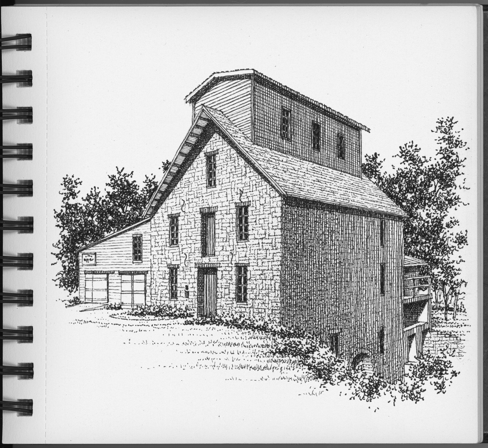
The Old Oxford Mill
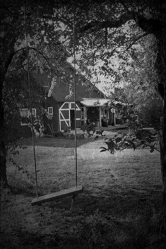
Re-edited: The Old Swing
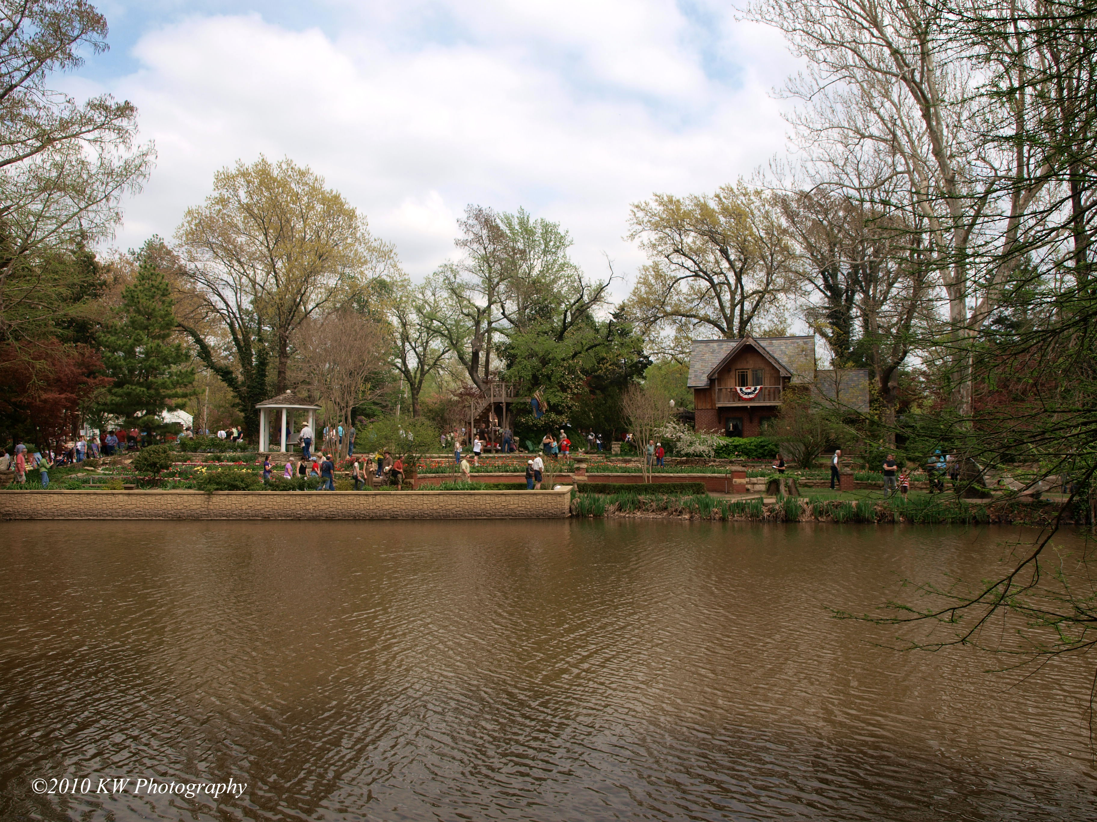
P4118195 copy
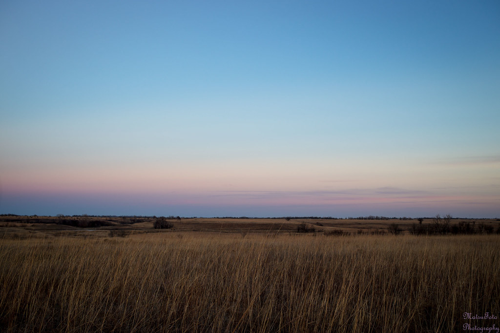
Tallgrass Prairie after sunset
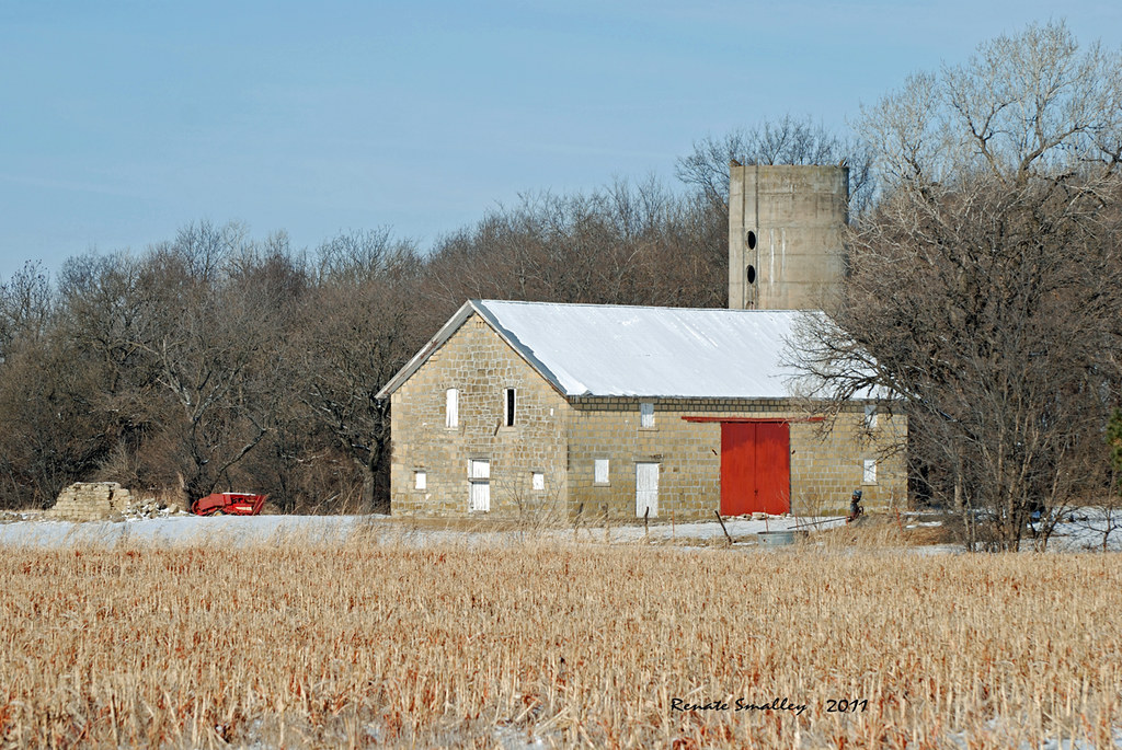
Limestone Barn
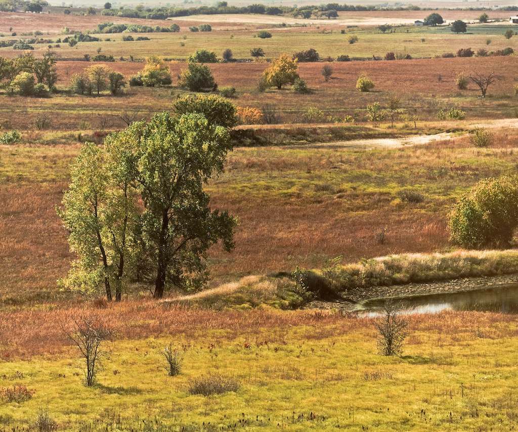
Kansas Prairie

Old Oxford Mill
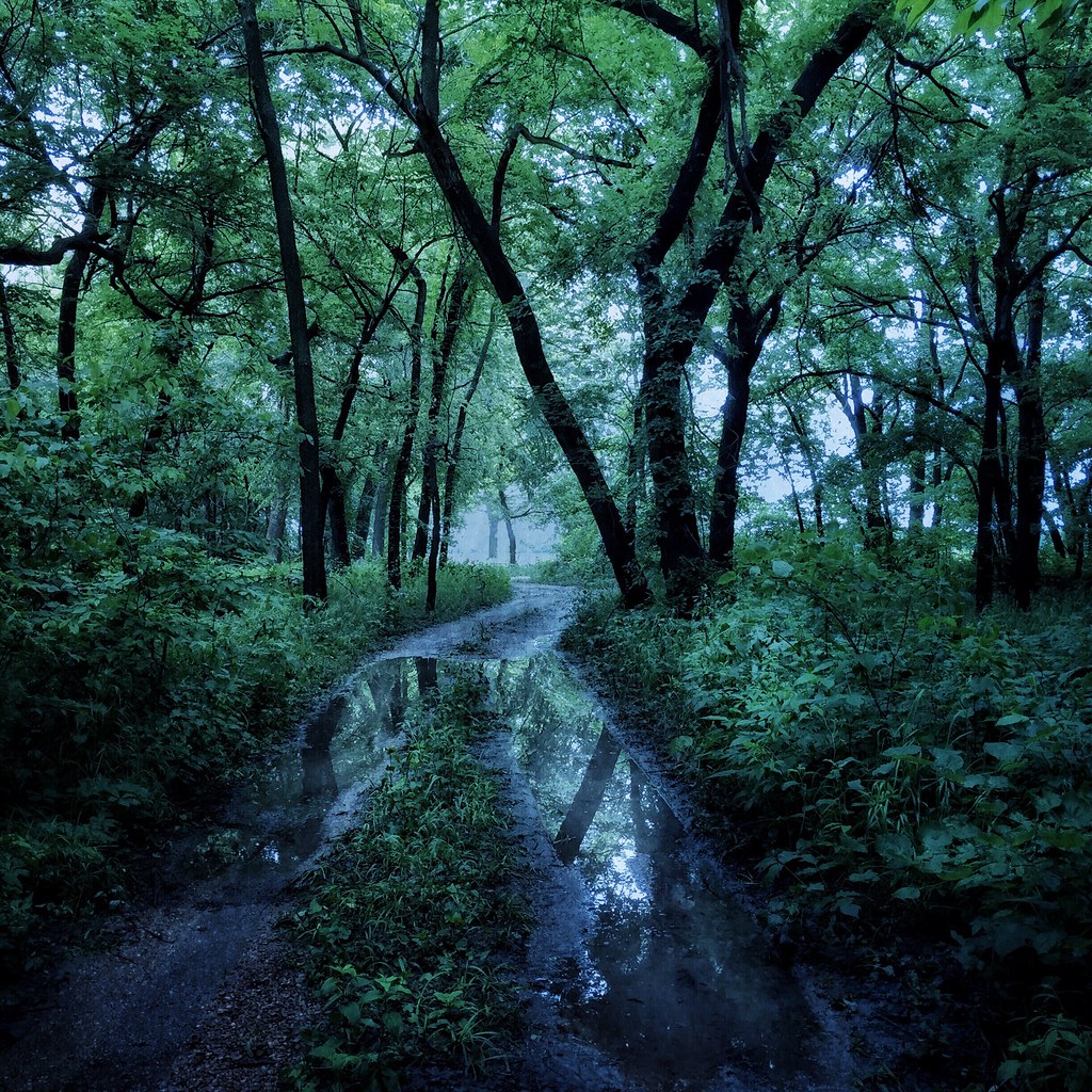
The Woods by the Old Mill
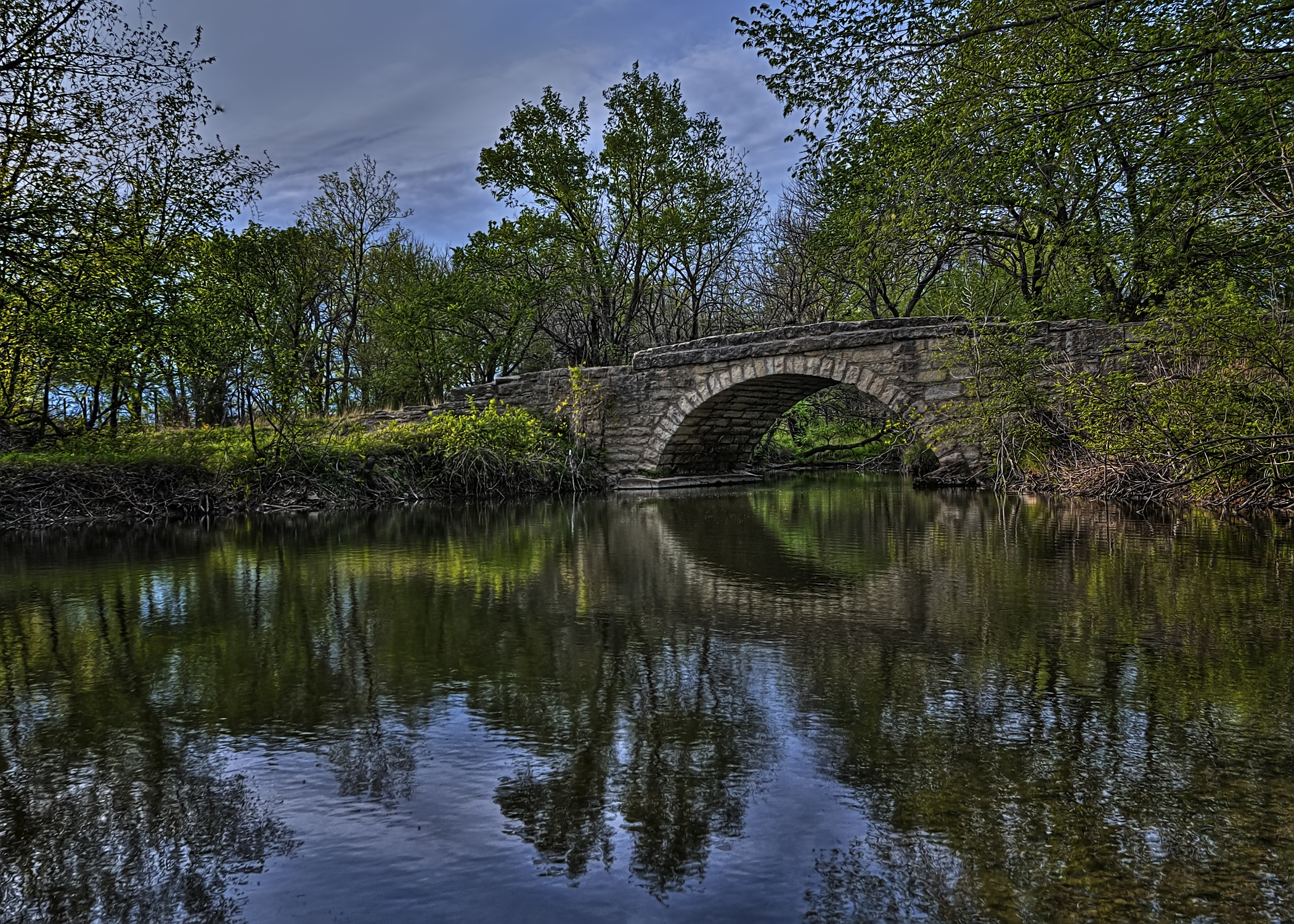
Bridge Over Pole Cat Creek
Topographic Map of Ninnescah, KS, USA
Find elevation by address:

Places in Ninnescah, KS, USA:
Places near Ninnescah, KS, USA:
Udall
th Rd, Udall, KS, USA
E 50th Ave N, Belle Plaine, KS, USA
Vernon
Palestine
23rd Rd, Winfield, KS, USA
Oxford
Oxford
1390 E 30th Ave N
N Merchant St, Belle Plaine, KS, USA
Belle Plaine
Beaver
Mulvane
East Louis Boulevard
1224 Louis Dr
1226 Louis Dr
1228 Louis Dr
1441 Autumn Valley
Rockford
Belle Plaine Township
Recent Searches:
- Elevation of Leyte Industrial Development Estate, Isabel, Leyte, Philippines
- Elevation of W Granada St, Tampa, FL, USA
- Elevation of Pykes Down, Ivybridge PL21 0BY, UK
- Elevation of Jalan Senandin, Lutong, Miri, Sarawak, Malaysia
- Elevation of Bilohirs'k
- Elevation of 30 Oak Lawn Dr, Barkhamsted, CT, USA
- Elevation of Luther Road, Luther Rd, Auburn, CA, USA
- Elevation of Unnamed Road, Respublika Severnaya Osetiya — Alaniya, Russia
- Elevation of Verkhny Fiagdon, North Ossetia–Alania Republic, Russia
- Elevation of F. Viola Hiway, San Rafael, Bulacan, Philippines